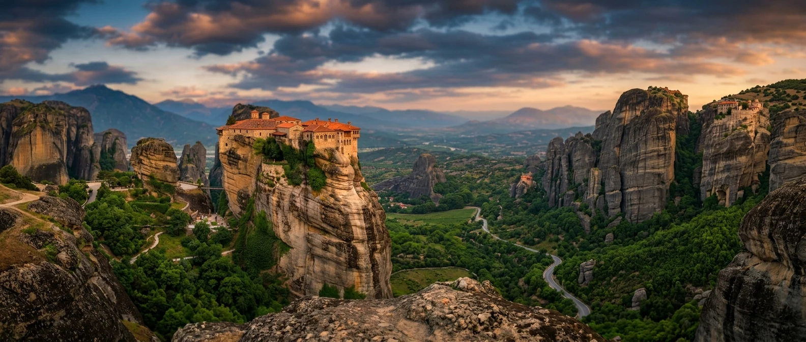
📍 What Mount Parnitha is
Mount Parnitha reaches 1,413 m at the Karavola summit and forms the northern boundary of the Athens basin. In 1961 it was declared a National Park, with forests of Greek fir (Abies cephalonica), meadows, ravines, and a population of red deer (Cervus elaphus). The fires of 2007 and later damage left marks across large areas, but in many places the forest is still dense. The main value of Parnitha is that in less than an hour from the city you can find yourself in a real mountain landscape.
🚠 The cable car
The cable car ride
The Parnitha cable car starts from the area of Thrakomakedones and goes up toward the Mont Parnes complex, at an altitude of about 1,000 m. The ride takes around 10 minutes and gives you a clear view of the Athens basin when the weather is good. From the upper station you can move toward viewpoints, short walks, or, with better planning, toward the refuges.
Opening hours: because it is connected with the casino, it often runs for many hours, but it closes for maintenance or because of weather. Check before you start.
🚌 Getting to the cable car
Bus to Thrakomakedones
There are bus lines to Thrakomakedones, but the starting points and timetables need to be checked in OASA Telematics. Allow that with public transport the trip will be slower than by taxi.
Taxi or app
The simplest option if you do not drive. From the Victoria area, allow about 30-45 minutes, depending on traffic.
Driving
About 30 km to the cable car base. For hiking to Bafi or Mola, the car is more practical, because it gets you closer to the trails.
Suburban rail
The suburban rail can help from the northern and western suburbs, but usually you still need a second transfer by bus or taxi.
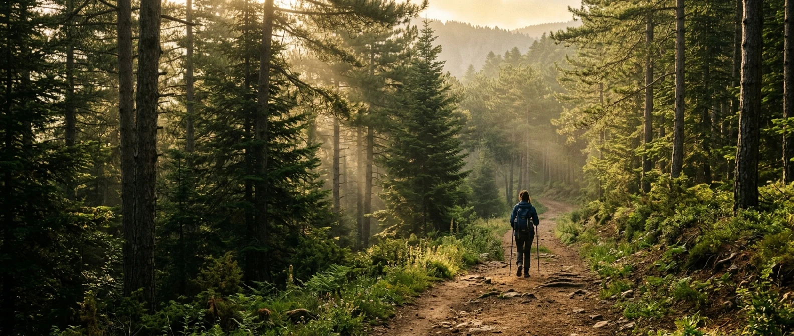
🥾 Hiking on Mount Parnitha
- Bafi Refuge — at about 1,160 m, with food, coffee, and the option of staying overnight. You can reach it by car or on foot, depending on the route.
- Flabouri Refuge — the second main refuge on Parnitha, quieter and useful for hiking routes.
- Mola — an area with clearings, a spring, and trails, popular for a more mountain-style walk.
- Cable car → Bafi — a route that needs time, good shoes, and basic fitness. Do not start it late in the afternoon.
- Bafi → Karavola — a moderate hike to the 1,413 m summit, with views toward Athens when the air is clear.
- Tatoi — lower routes around the former royal estate, better for an easy walk.
🦌 Wildlife and nature
- Red deer — a protected population often seen in clearings and near roads, especially early or late in the day. Do not approach or feed them.
- Greek fir forest — endemic Abies cephalonica, the symbolic tree of the park.
- Spring wildflowers — April-June, especially after wet winters.
- Birds — Bonelli's eagle, golden eagle (rare), and various forest species.
- Fire damage — the fires of 2007 and 2021 left visible marks. In some places there is regeneration; in others the loss is still heavy.
📊 At a glance
1,413 m
Karavola summit, the highest point of Mount Parnitha.
Free cable car
About 10 minutes to the upper complex. Check that it is running before you go.
1961
The year Parnitha was declared a National Park.
30 km
About the distance from central Athens to the base of the mountain.
❄️ Winter on Parnítha
- Snow — in many winters the high slopes get snow, mainly from December to February.
- Sledding — it happens informally in clearings, without organized facilities.
- Hiking in snow — only with proper equipment and experience. Trail markers can disappear easily.
- Road access — chains may be required or the road may close in heavy snowfall.
- Cable car — it may operate, but weather and maintenance affect the schedule.
🍴 Where to eat
- Bafi Refuge restaurant — hot food, coffee, and simple mountain dishes. €15-€25 per person.
- Flabouri Refuge — smaller, simpler, with similar prices.
- Mont Parnes — cafes and restaurants near the upper station, with more tourist-oriented prices.
- Thrakomakedones — tavernas and cafes at the base of the mountain, more practical if you do not continue to the refuges.
- Picnic — you can bring your own food, as long as you do not leave rubbish on the mountain.
📅 A realistic day plan
Family/cable-car day (4-5 h)
- 10:00: Bus or taxi from Athens to Thrakomakedones.
- 11:00: Cable car up. Free.
- 11:15-13:00: Short walk near the upper station and a stop at the viewpoints.
- 13:00-14:30: Lunch at the upper station or return lower down for a taverna.
- 15:00: Cable car down. Return to Athens.
Hiker's day (7-8 h)
- 08:00: Drive to Bafi Refuge (45 minutes from central Athens).
- 08:45: Park at Bafi. Coffee at the refuge.
- 09:15-12:30: Hike to Karavola and back, if the weather and the group allow it.
- 13:00-14:30: Lunch at Bafi Refuge.
- 15:00-16:30: A smaller second route to Mola or stops at viewpoints.
- 17:00: Drive back to Athens.
🛡️ Practical tips
- Walking shoes for every route; hiking boots for the summit, mud, or winter conditions.
- Layers — temperature drops 8-12°C from city to summit. Bring jacket even in summer.
- Water and snacks — there are refuges, but the distances on hikes are real.
- Map — the Anavasi Editions Mount Parnitha hiking map (1:50,000) is available in bookshops in Athens.
- Trail marking — stay on the marked trails if you do not know Parnitha well.
- Mobile signal — good in many spots, but not everywhere. Do not assume it in ravines.
- Families — the cable car and short walks are more suitable for children than the longer hikes.
🎯 Why Parnitha
- A close mountain escape from Athens, without leaving for a two-day trip.
- Cable car for an easy ascent and view, if it is running normally.
- A mountain feel in many places, despite the proximity to the city.
- All year round — wildflowers in spring, cooler air in summer, cleaner atmosphere in autumn, and snow in some winters.
- Wildlife observation — red deer encounters are realistic, not guaranteed.
- Real hiking — especially above the refuges, it is not just a tourist stroll.
How to get there from Angel Athens (Ioulianou 50)
From Ioulianou 50, the simplest option without a car is to take Line 1 toward the northern suburbs and continue by bus to Thrakomakedones, after checking in OASA Telematics which route serves the cable car base that day. Allow about 60-90 minutes by public transport, depending on waiting times. By taxi or app, the trip usually takes 30-45 minutes. By car, head toward Acharnes / Thrakomakedones for the cable car or continue higher if Bafi is your target.
🎯 FAQ
Is the cable car really free?
Yes — it's a service of the Mont Parnes Casino but anyone can ride it. No casino entry required.
How fit do I need to be?
For the cable car and a short walk, not much. For Bafi by car, also not much if you stay close to the refuge. For Karavola or longer routes you need basic hiking experience and the right shoes.
Can I see deer?
Often yes, mainly in clearings and near quiet roads. It is not guaranteed. Watch from a distance and do not feed the animals.
Best month?
April to June for wildflowers and mild temperatures. September to November for cooler hikes. Winter is worth it only if you are ready for cold, snow, or closed roads.
Public transport feasibility?
For the cable car, yes, with route checks. For a hiking day from Bafi or Mola, it is difficult without a car or an organized group.
Combine with anything else?
By car, it can be combined with Tatoi or with a stop in Thrakomakedones. Marathon and Mesogeia are in another direction and need a separate plan.
Sources:
— Kathy