🪪 The island at a glance
📍 Where it is
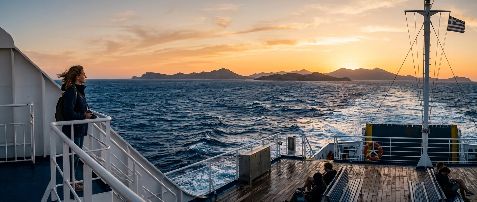
Agathonisi lies in the northern Dodecanese, north of Patmos and Leipsoi, south of Samos, a few miles from the coast of Turkey. It has no airport. You arrive on the Dodecanese catamaran from Patmos, Leipsoi or Pythagoreio on Samos, and on some ferries of the Piraeus line. Sailings are few each week, and they change every season.
📍 Where Agathonisi is
Agathonisi is the northernmost inhabited island of the Dodecanese, between Patmos and Samos, close to the coast of Turkey. In red is the island, and in green Piraeus, Patmos and Samos, where you arrive from.
🗺️ The map of the island
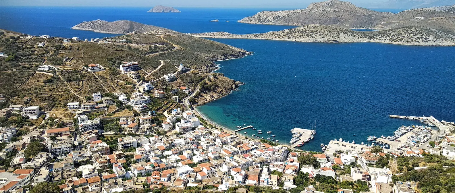
Agathonisi is about thirteen square kilometres, with low dry hills, thyme and mastic shrubs, and a coast full of coves. The harbour, Agios Georgios, lies in a sheltered bay on the west side. Above it, on the ridge, are Megalo Chorio and Mikro Chorio. A road crosses the island to the east, as far as Tholoi and the bay of Katholiko.
🗺️ The map of Agathonisi
Agathonisi is long and narrow, with low dry hills and many coves. On the west side is the bay of Agios Georgios with the harbour, and above it Megalo and Mikro Chorio. To the south, Spilia beach. To the east, Poros, Tholoi and the bay of Katholiko. Tap each number to see what it is.
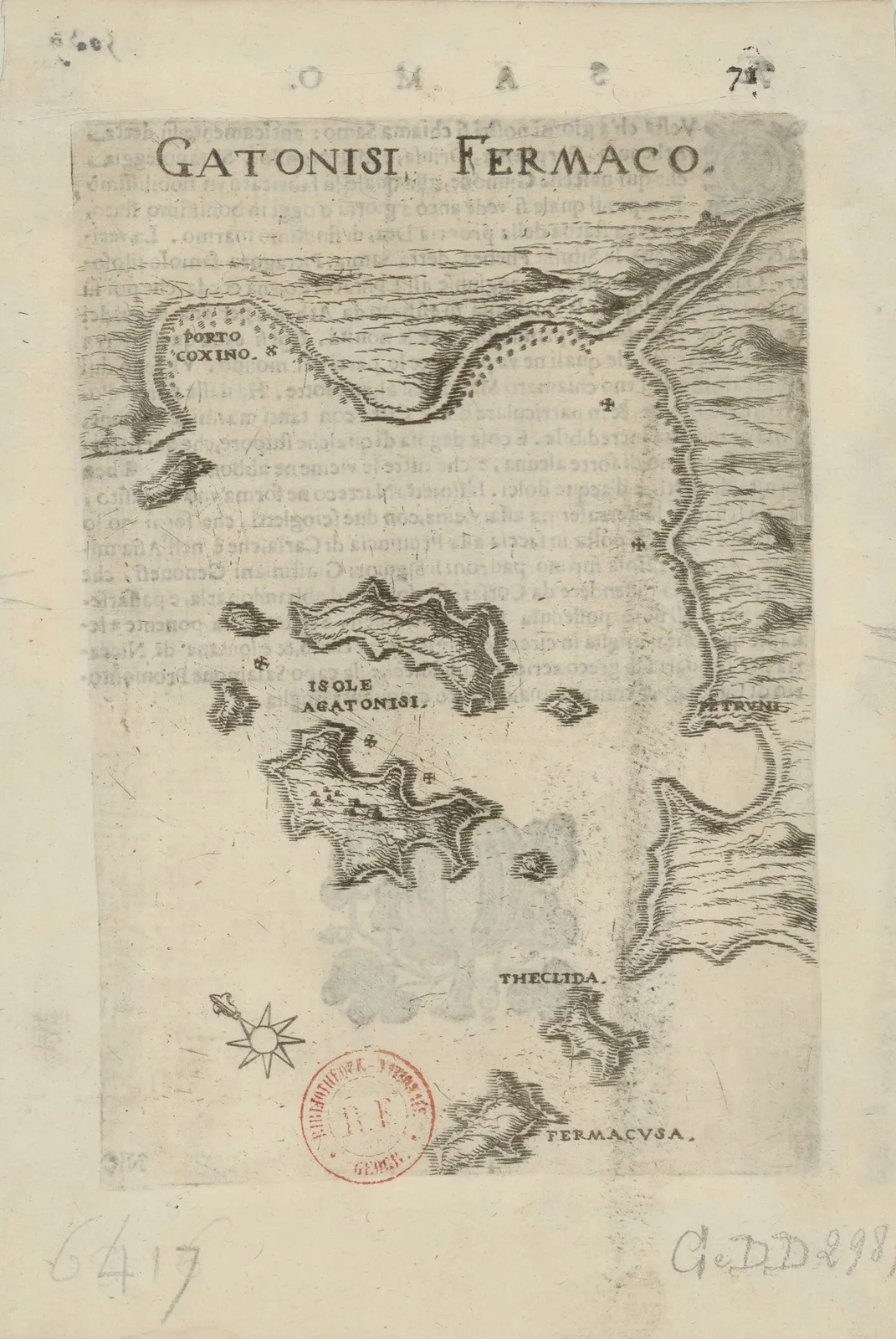
Map: Marco Boschini, 1658 (Public domain) · Wikimedia Commons
⚖️ Is it worth it? The pros and cons
Agathonisi is for those who want a few days completely away from everything: the sea, fish, a book and quiet. It is not for those who want big beaches or bustle. Here is an honest picture.
📊 At a glance, from 1 to 5
👍 The pros
- One of the quietest islands in the Aegean, with a few hundred people.
- Coves with clear water, often just for you.
- Small tavernas with fresh fish at the harbour.
- Footpaths to Tholoi and the beaches.
- Combines with Patmos, Leipsoi and Samos.
👎 The cons
- Few sailings, which depend on the weather.
- Very few rooms and shops.
- A dry landscape, with little shade outside the harbour.
- No nightlife.
⚓ Agios Georgios and the villages
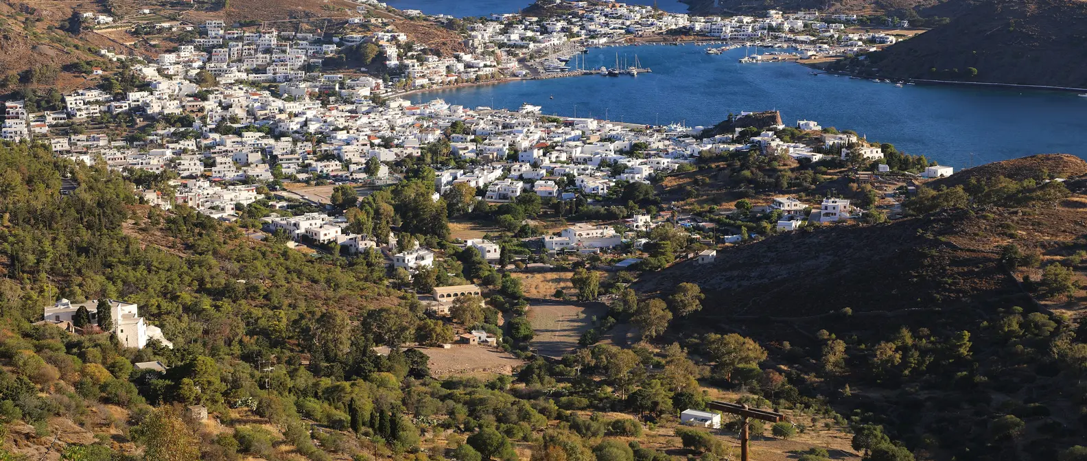
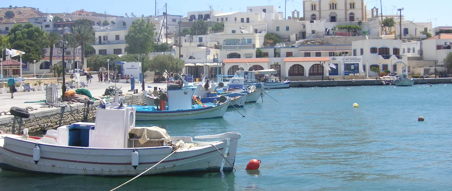
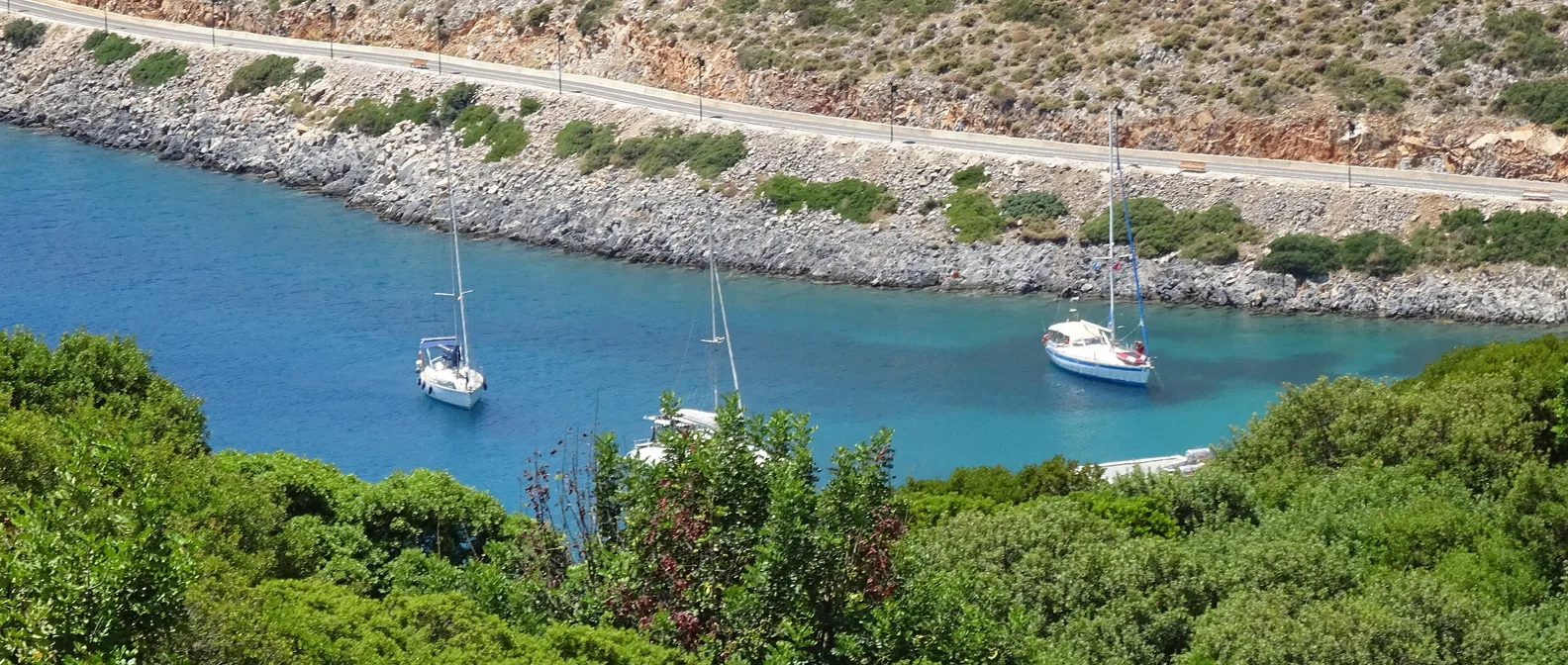
Agios Georgios is the harbour and the heart of the island: a sheltered bay with a small sandy beach, a few white houses, two or three tavernas on the water, a café and a shop for the essentials. Sailing boats anchor in the bay on summer evenings, and when the catamaran comes in, the whole island comes down to the harbour.
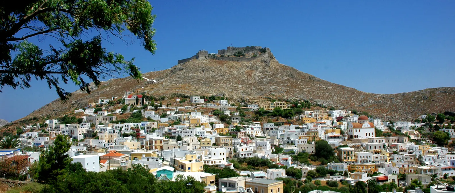
Up on the ridge, ten minutes on foot, Megalo Chorio is the largest village, with the school, the church and views of the islands around. Mikro Chorio, further west, is a few houses among fields and dry-stone walls. Shepherds and fishermen live in the villages, and life still follows the rhythm of the seasons.
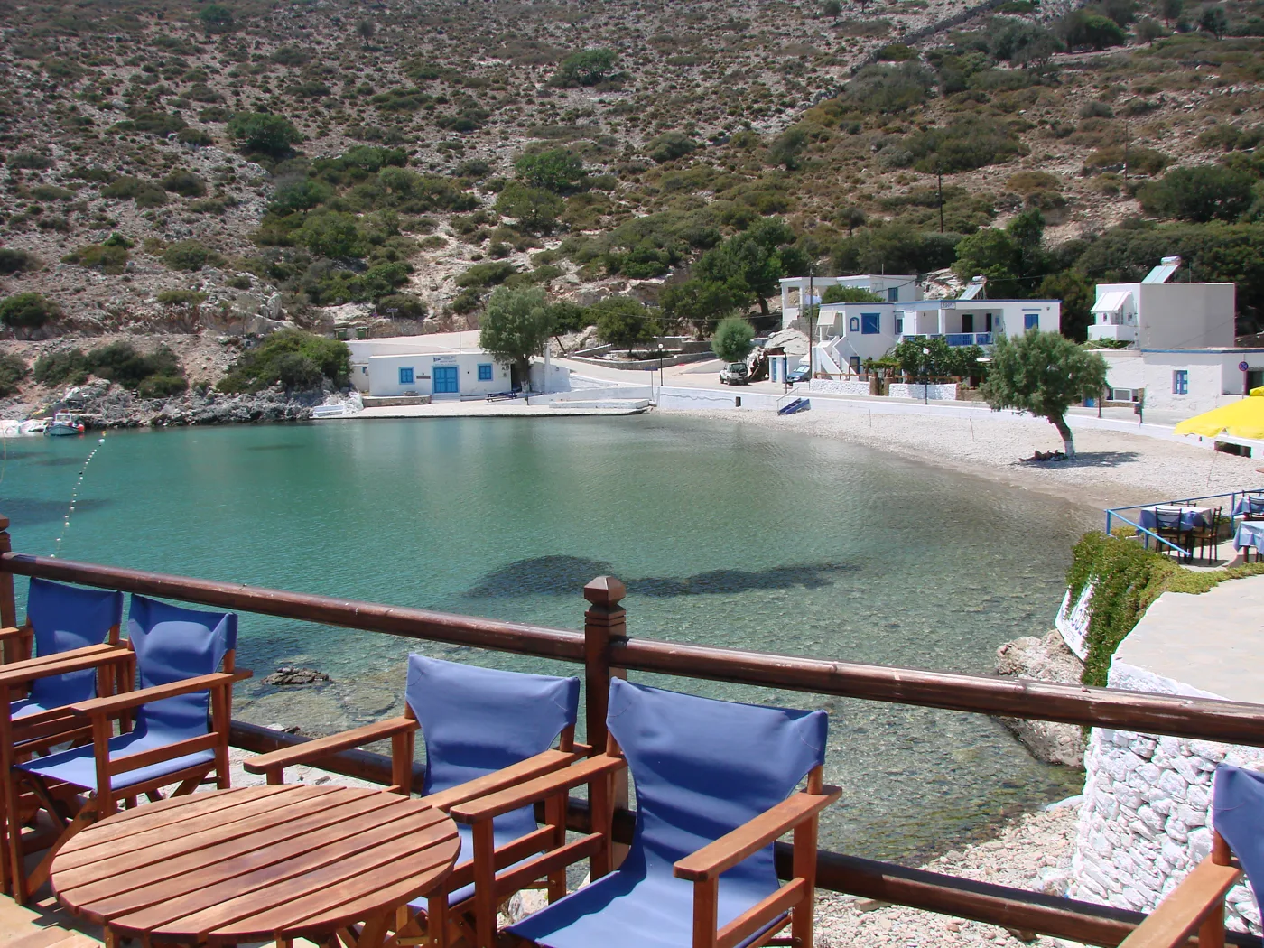
The harbour and its beach.
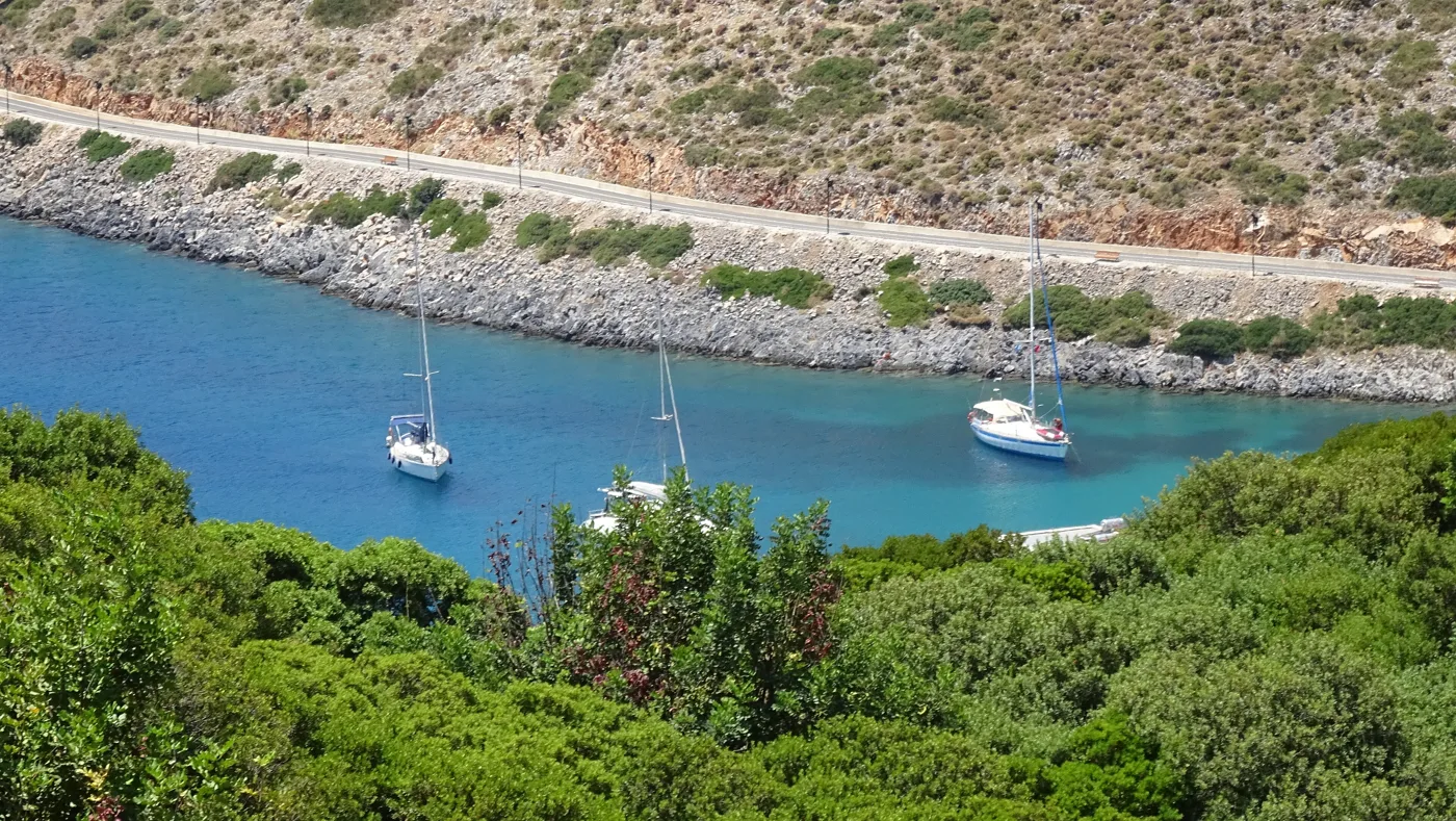
Sailing boats at anchor.
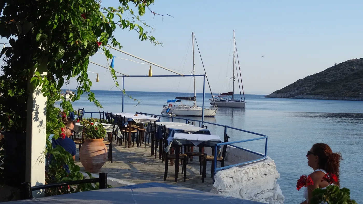
On the water.
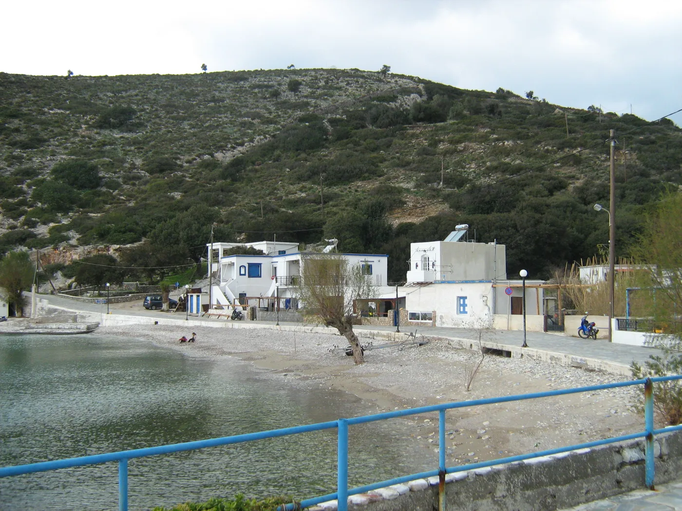
A few houses on the shore.
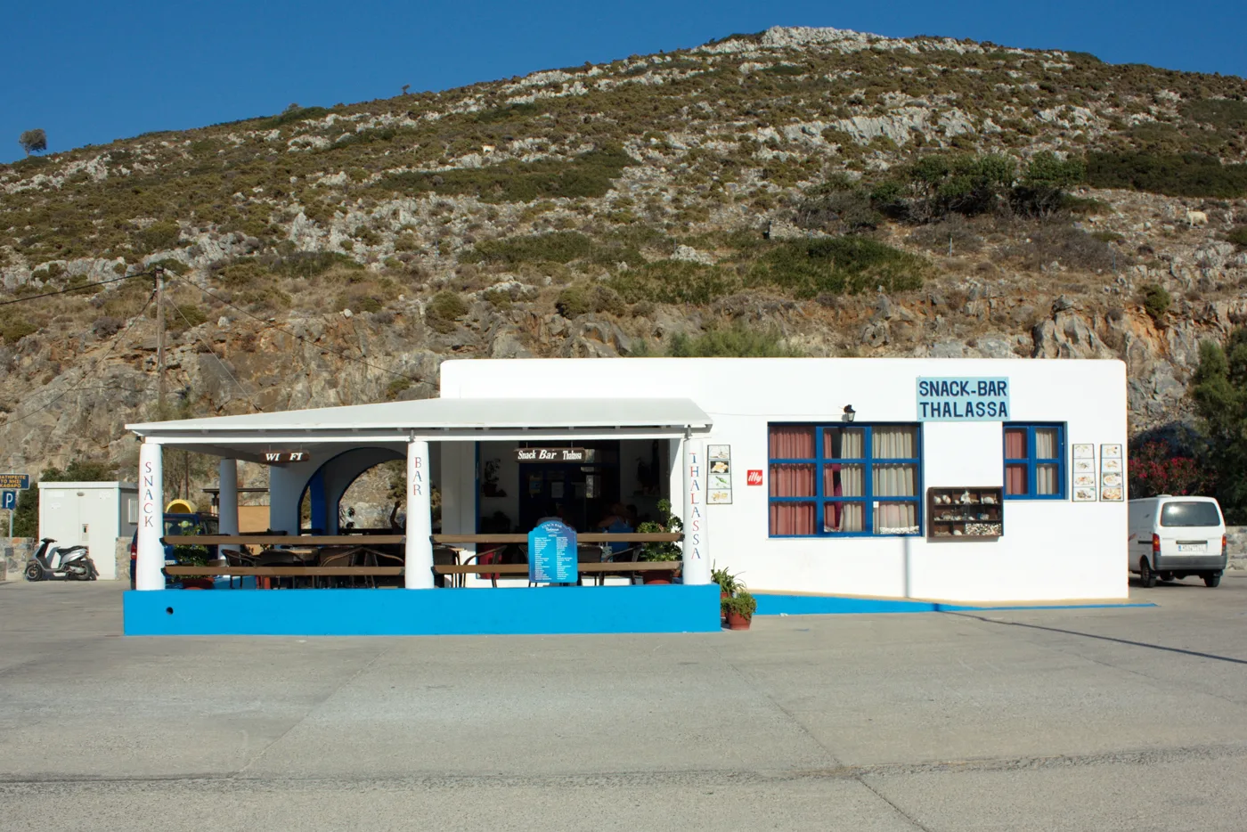
At the harbour.
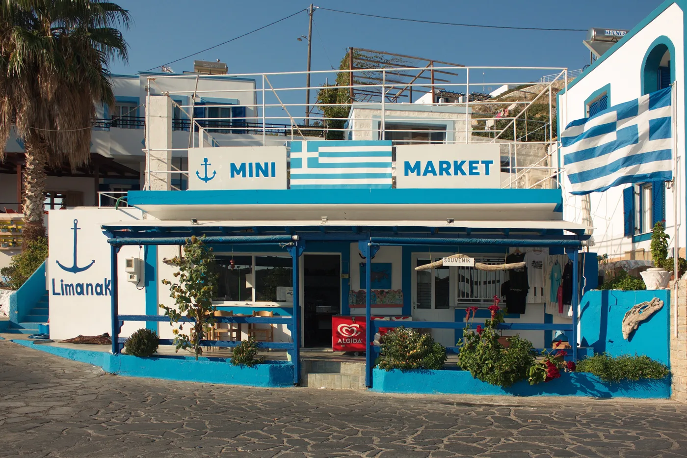
Whatever you need.
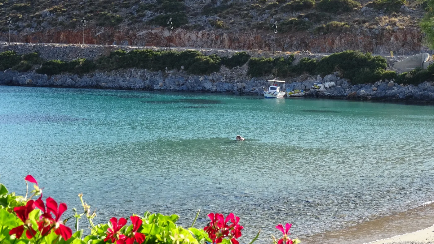
Clear, down to the seabed.
Photos: Vasileiadis33 (CC BY-SA 4.0), Turhan Akman (CC BY 3.0), Fotizzt (CC BY-SA 4.0), Art Grafix (CC BY-SA 4.0) · Wikimedia Commons
Rooms on Agathonisi are few, mostly in Agios Georgios. Book before you set off, and check the catamaran schedule: if the wind blows hard, you may stay an extra day.
🏛️ Tholoi and Katholiko
In the east of the island, at Tholoi, you will see vaulted stone buildings, the remains of a settlement with storehouses from Byzantine times, which show that the island was once far more alive. A little further on, the bay of Katholiko is one of the quietest on the island, with a few boats and a lone tree on the shore. The road from Agios Georgios takes about an hour on foot, with views of the Turkish mountains opposite.
🏖️ The beaches
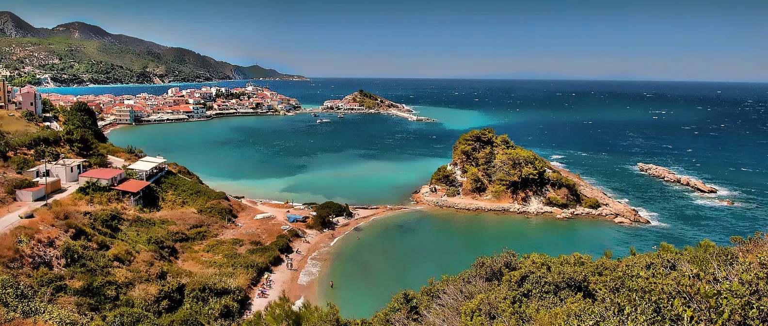
Agathonisi has no big sandy beaches, but it has many coves with pebbles and clear water. The beach at Agios Georgios is the easiest, right in the harbour. Spilia, ten minutes to the south, has a cave in the rock and clearer water. To the east, Poros and Tsagkari are coves where you will rarely find anyone. For the most remote, ask at the harbour about a boat.
- Agios Georgios: a small sandy beach in the harbour.
- Spilia: ten minutes south, with a cave and clear water.
- Poros: a quiet cove in the east.
- Tsagkari: pebbles and clear water, usually empty.
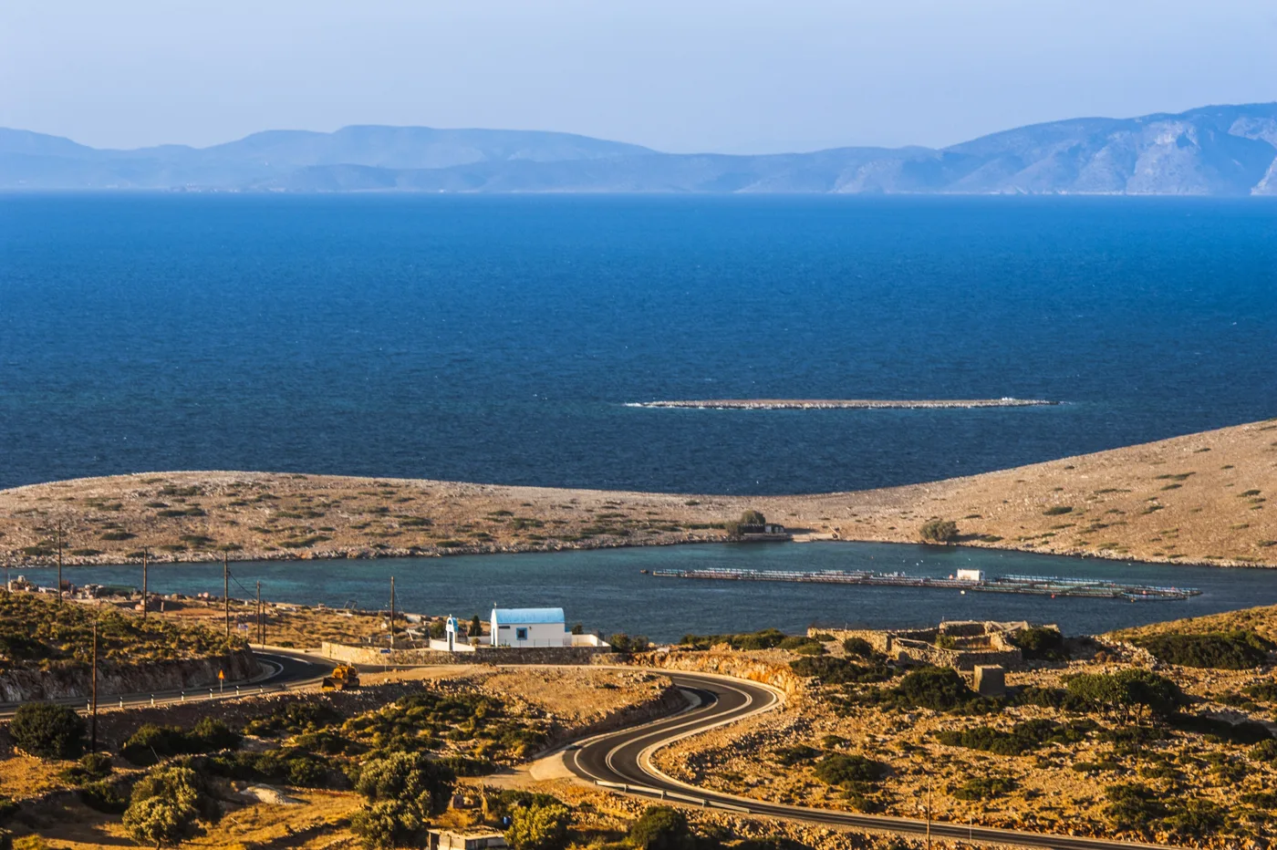
The island and the water around it.
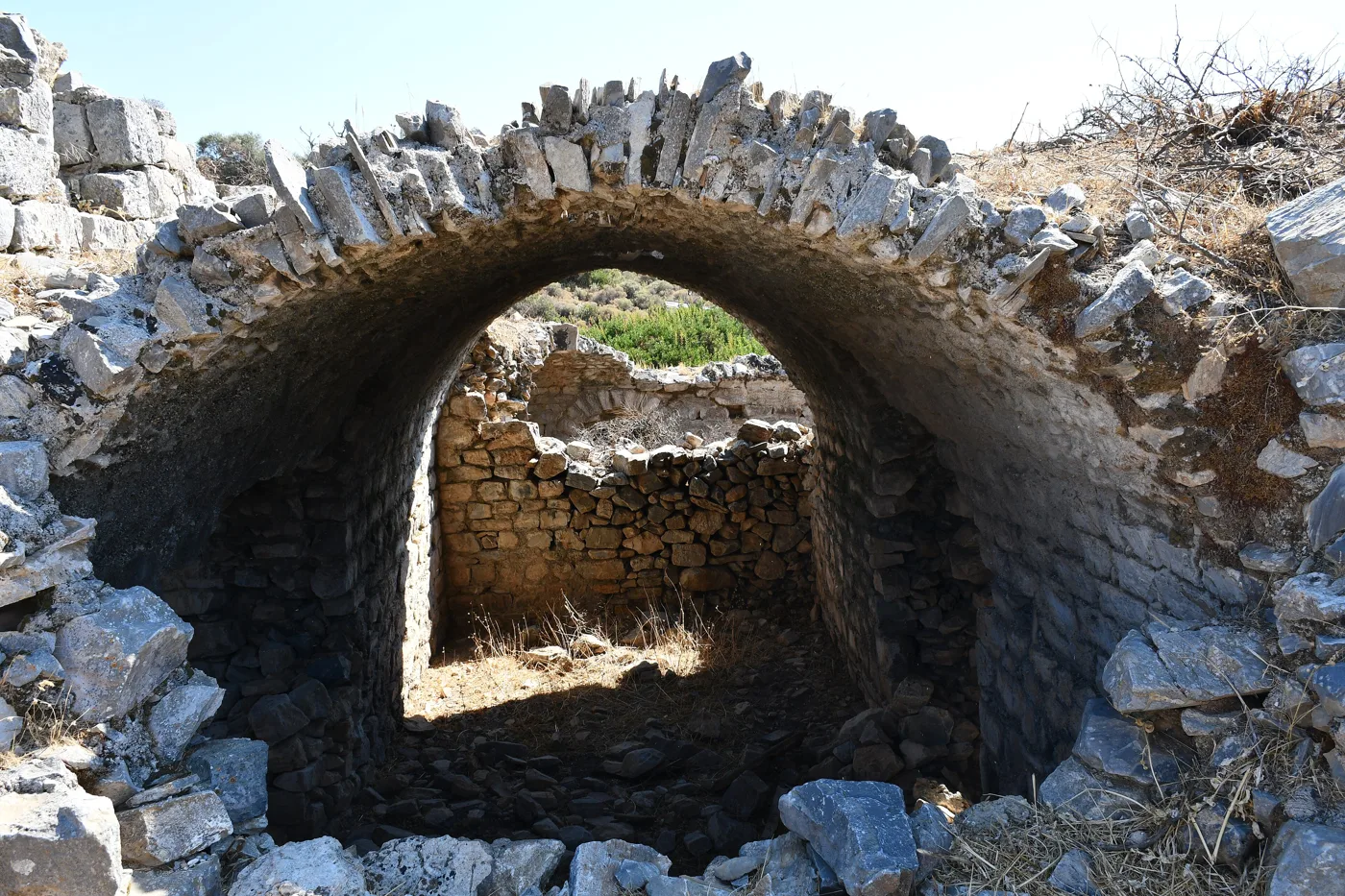
Storehouses from another age.
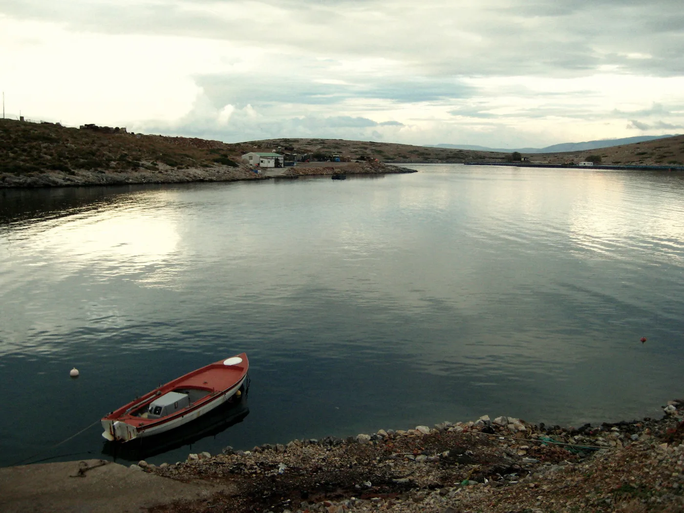
The bay at the eastern tip.
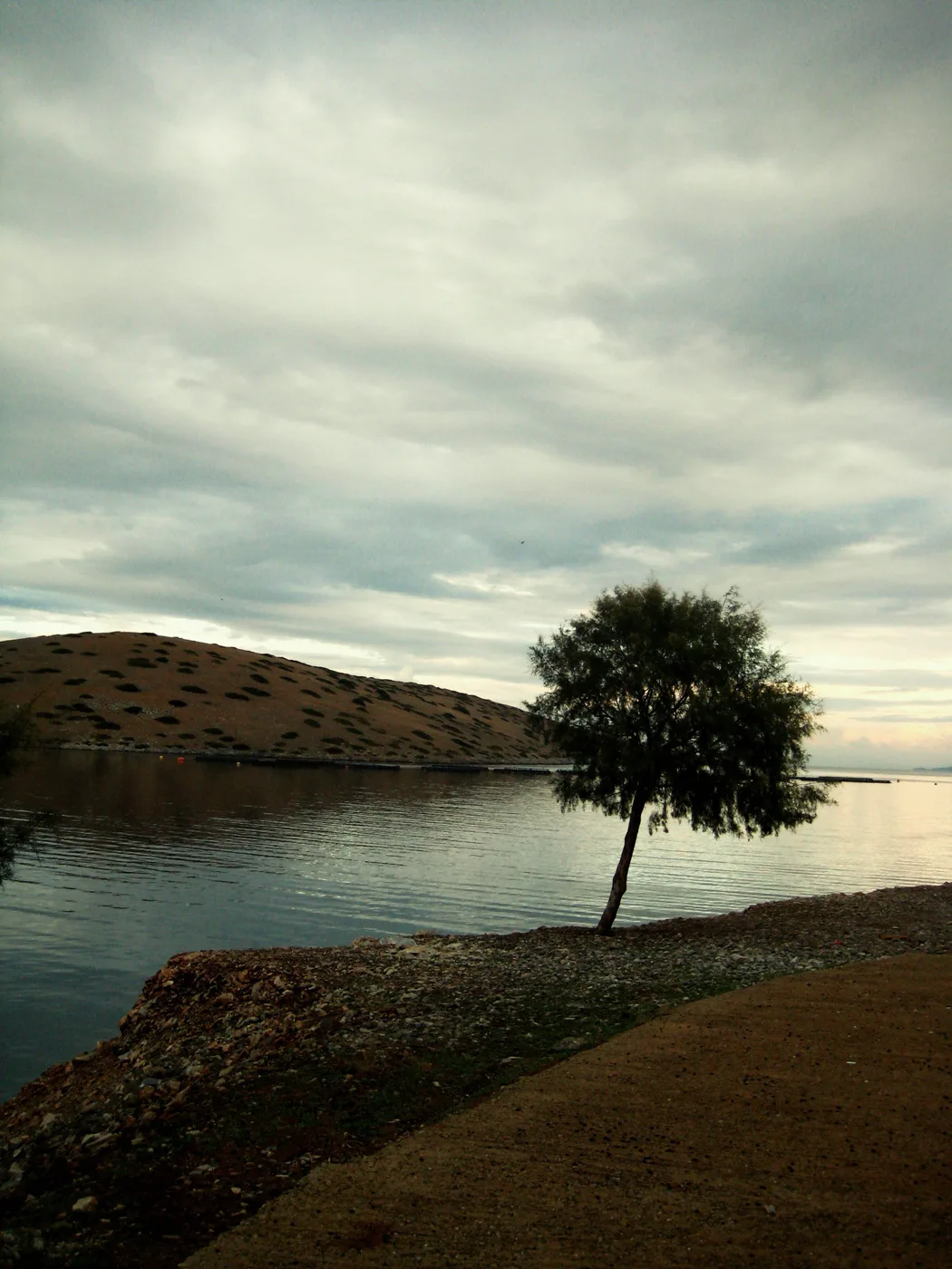
At Katholiko.
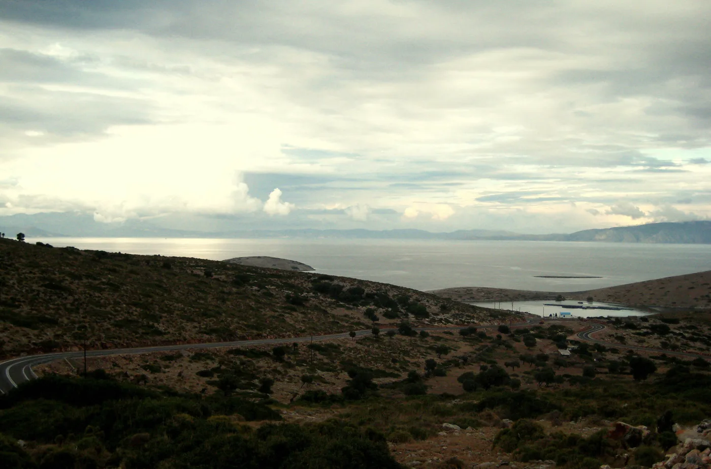
The road to Katholiko.
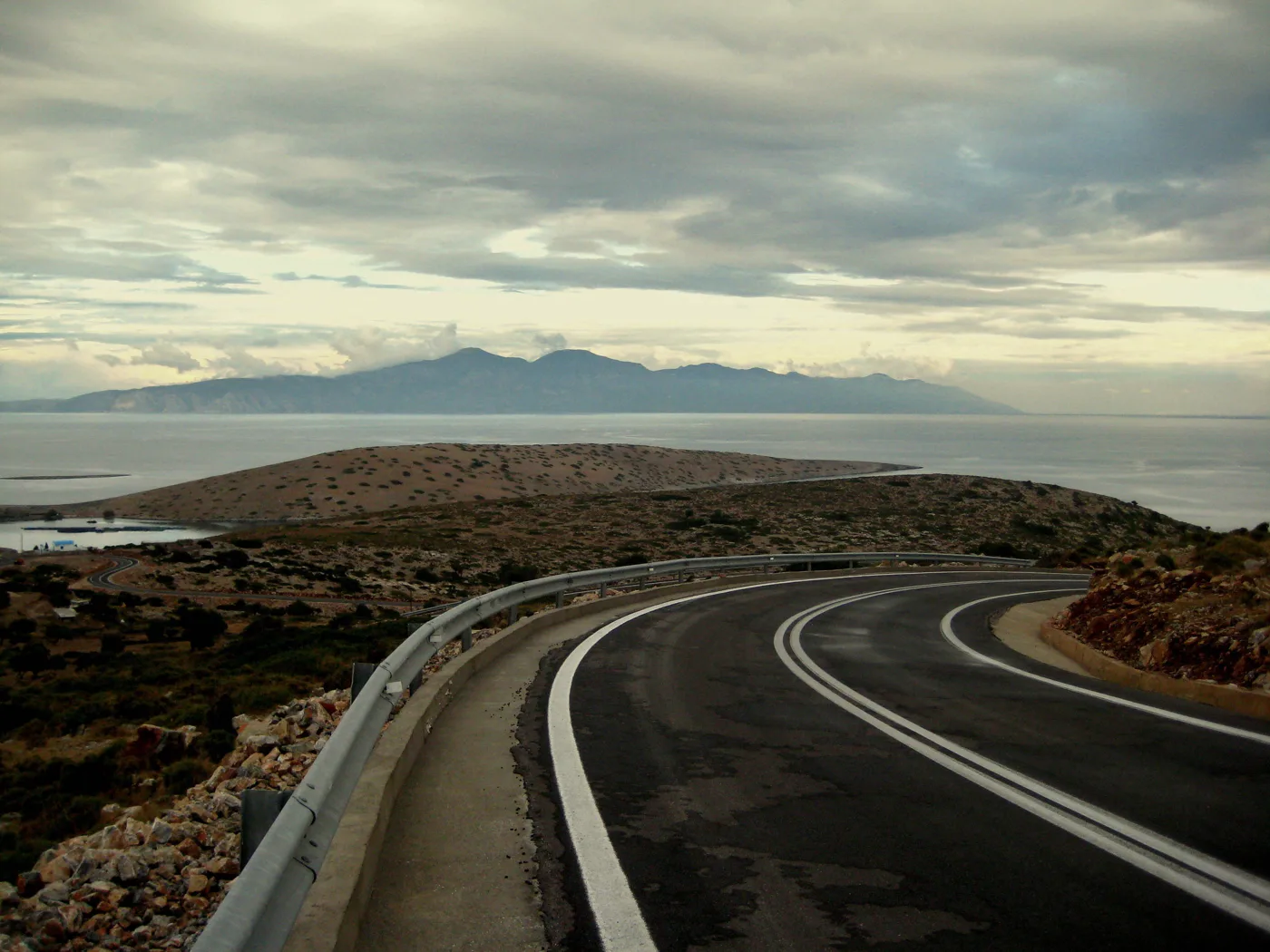
With Turkey opposite.
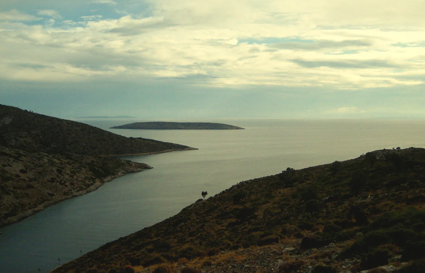
Above Agios Georgios.
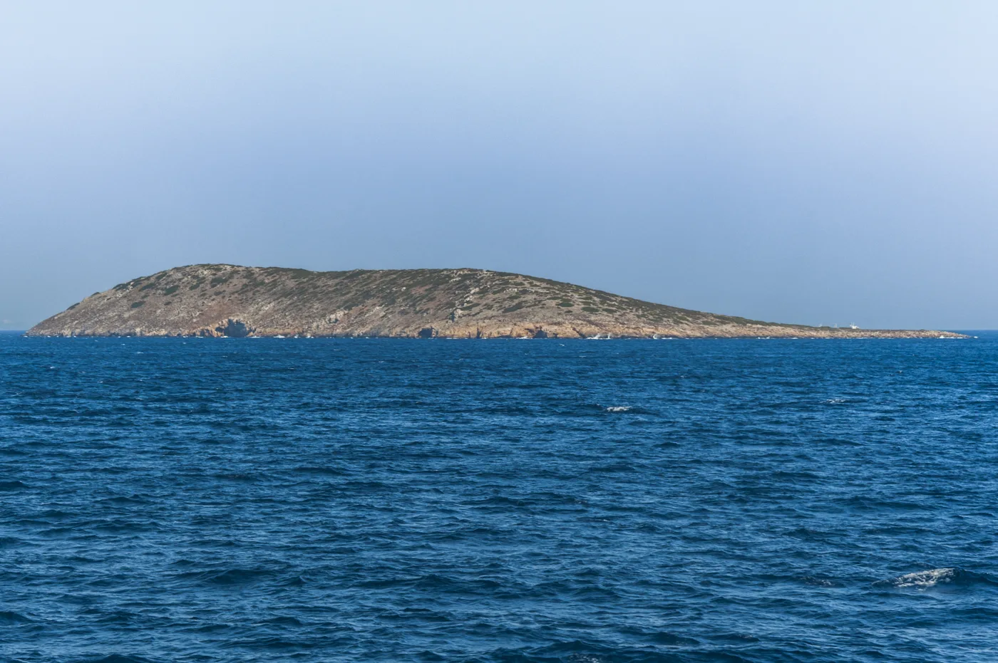
An islet offshore.
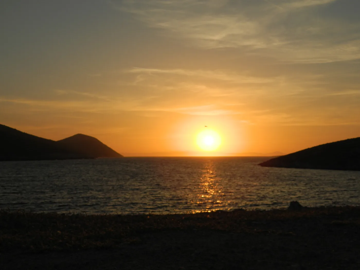
Behind the islets.
Photos: Thanasis Christodoulou (CC BY-SA 4.0), PLAKLE (CC BY-SA 4.0), Georgia Chatziioannou (CC BY-SA 4.0), Gelinag2 (Public domain) · Wikimedia Commons
🍽️ What to eat
In the tavernas of Agios Georgios you will eat whatever the fishermen brought in: fresh fish, lobster spaghetti on good days, octopus and small squid. The island has shepherds, so you will also find kid goat, local cheeses and thyme honey. The choice is small, but everything is fresh and home-made.
📅 When to go
June and September are the best months: warm sea, tavernas open, more settled weather. In July and August the meltemi wind often blows hard, and sailing boats fill the bay, but the island never gets crowded. In winter, the tavernas close and the sailings become rare.
⛴️ How to get there from Athens
| How | Duration | From | Notes |
|---|---|---|---|
| Ferry and catamaran | A day or a night | Piraeus → Patmos → Agathonisi | Changing at Patmos, if there is no direct sailing. |
| Plane and catamaran | About 1 hour + catamaran | Athens airport → Samos → Pythagoreio | The fastest way, if the schedules match. |
| Plane to Leros | About 1 hour + catamaran | Athens airport → Leros | Catamaran from Agia Marina. |
From Ioulianou 50 go straight to Piraeus on Line 1, or to the airport on Line 1 to Monastiraki and change to Line 3. Check the catamaran schedule before you book. For the neighbouring island, see our guide to Patmos.
🗓️ Three days on Agathonisi
Agios Georgios
A stroll around the harbour, coffee at the café, a swim at the beach of Agios Georgios and at Spilia, ten minutes on foot. In the evening, fish at a taverna on the water.
The villages and Tholoi
Go up to Megalo Chorio for the view and walk east, towards Tholoi and the bay of Katholiko. A swim at Poros on the way back.
The coves
By boat or on foot, explore the coves along the coast, with a mask and water. Sunset over Agios Georgios before the catamaran.
Frequently asked questions
How many days do I need?
Two or three, enough for the villages, Tholoi and a few coves. The real reason to stay longer is the quiet.
Do I need a car?
No. The island is small, and you can reach everywhere on foot. There is also a local bus linking the harbour with the villages.
Are there shops and an ATM?
A few shops for the essentials. Carry cash and bring your medicines, because the options are limited.
Which islands does it combine with?
With Patmos, Leipsoi, Arkoi and Samos, all linked by the Dodecanese catamaran.
— Kathy