🪪 The island at a glance
📍 Where it is
Samos lies in the northeast Aegean, south of Chios and north of Patmos. A strait less than two kilometres wide separates it from Turkey, and small boats run from its harbours to Kuşadası and ancient Ephesus. You need a passport for that trip.
📍 Where Samos is
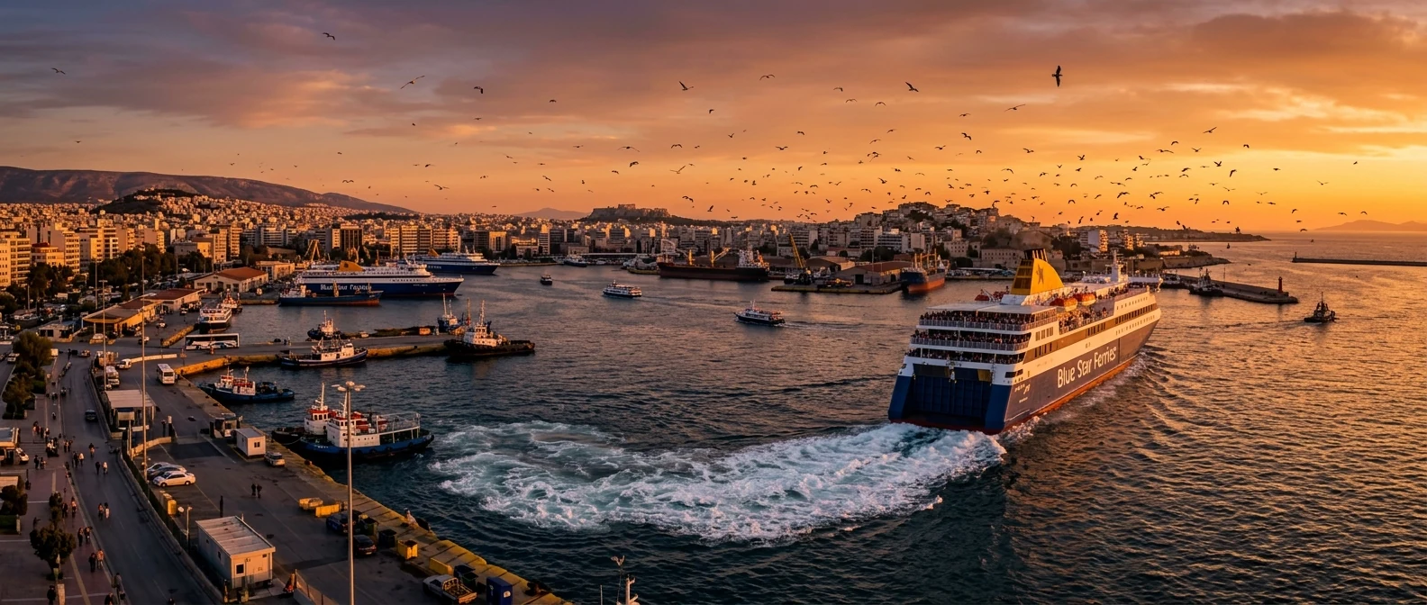
Samos is in the eastern Aegean, so close to Turkey that from Pythagoreio you can see the coast opposite. The island is shown in red, and in green are Piraeus, where the ferry leaves from, and Athens airport.
🗺️ The map of the island
Samos has two big mountains: Ampelos in the middle and Kerkis in the west, which rises over 1,400 metres. In the east is Samos town, also called Vathy, and in the south Pythagoreio with the airport. The north coast is green, with Kokkari and villages on the slopes. The west, around Karlovasi, is the wildest part.
🗺️ Map of Samos
Samos town, Pythagoreio and the Heraion are in the east and south. Kokkari and the mountain villages are on the north coast. In the west are Karlovasi, Mount Kerkis and the wildest beaches. Tap each number to see what it is.
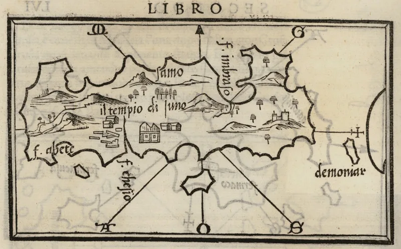
Map: Benedetto Bordone, 1547 (Public domain) · Wikimedia Commons
⚖️ Is it worth it? The pros and cons
Samos combines history, nature and the sea, without the crowds of the Cyclades. Here is an honest picture.
📊 At a glance, from 1 to 5
👍 The pros
- UNESCO ancient sites: the Tunnel of Eupalinos and the Heraion.
- A green island, with mountains, springs and hiking.
- Lovely villages, such as Manolates and Vourliotes.
- Sweet Samos Muscat wine.
- Good prices and fewer people than the Cyclades.
👎 The cons
- The ferry from Piraeus is a very long trip.
- A big island, you need a car.
- The north coast often has waves when the wind blows.
- Little nightlife.
- Samos town is not one of the prettiest places on the island.
🏺 Pythagoreio and the Heraion
Pythagoreio is built on top of the ancient city of Samos, which flourished in the 6th century BC. Today it is a pretty harbour with cafés and tavernas, named after Pythagoras, who was born here. Above the village is the Tunnel of Eupalinos, more than a kilometre long, dug through the mountain to bring water to the city. The ancient engineers dug it from both ends at once, and the two teams met in the middle. You can walk into part of it, in small groups.
A few kilometres west, near the sea, is the Heraion, the sanctuary of the goddess Hera. Her temple was one of the largest in the ancient Greek world, but today only one column still stands. Pythagoreio and the Heraion together are a UNESCO World Heritage Site. Above Pythagoreio, the Panagia Spiliani Monastery has a church inside a cave.
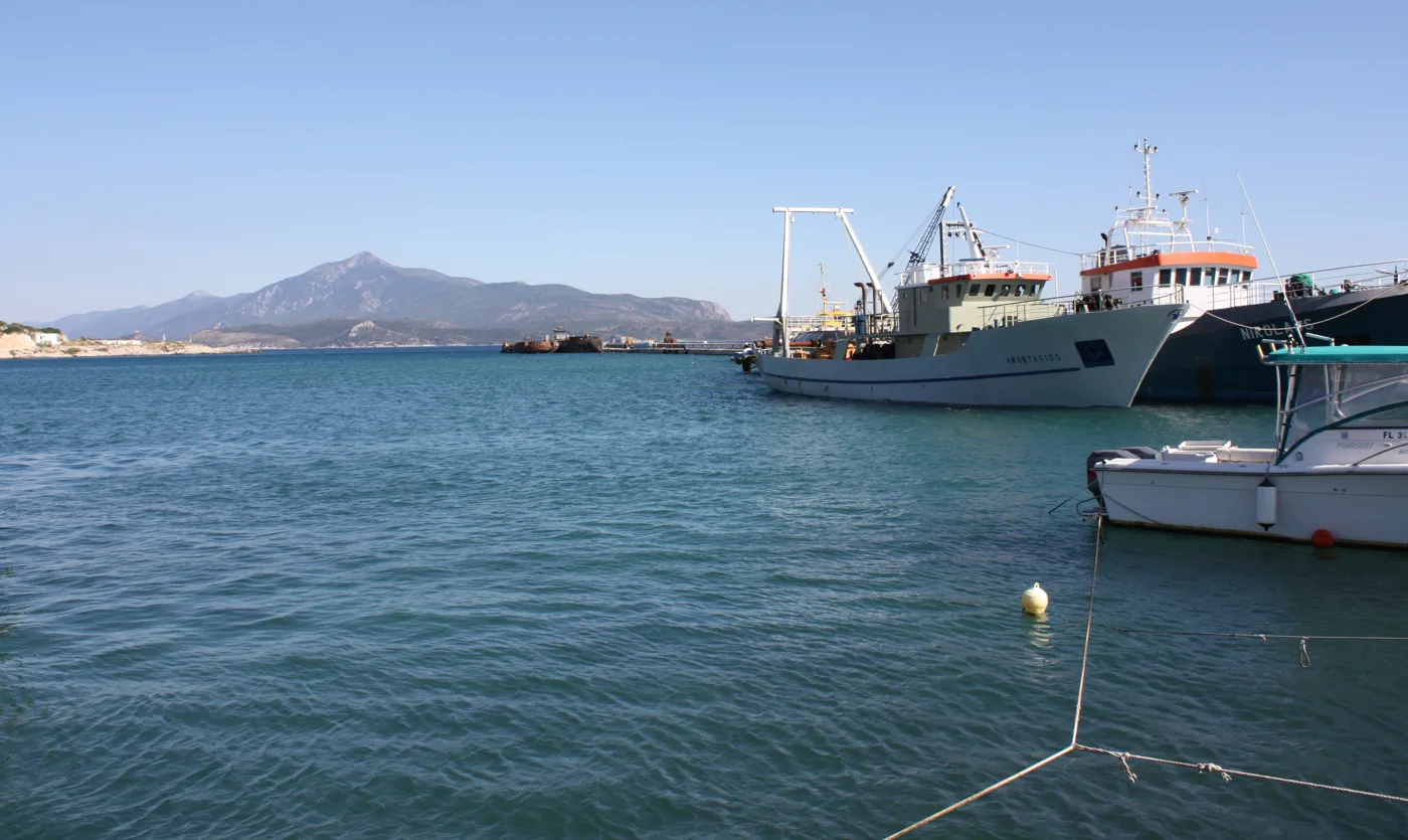
A harbour with views of Turkey.
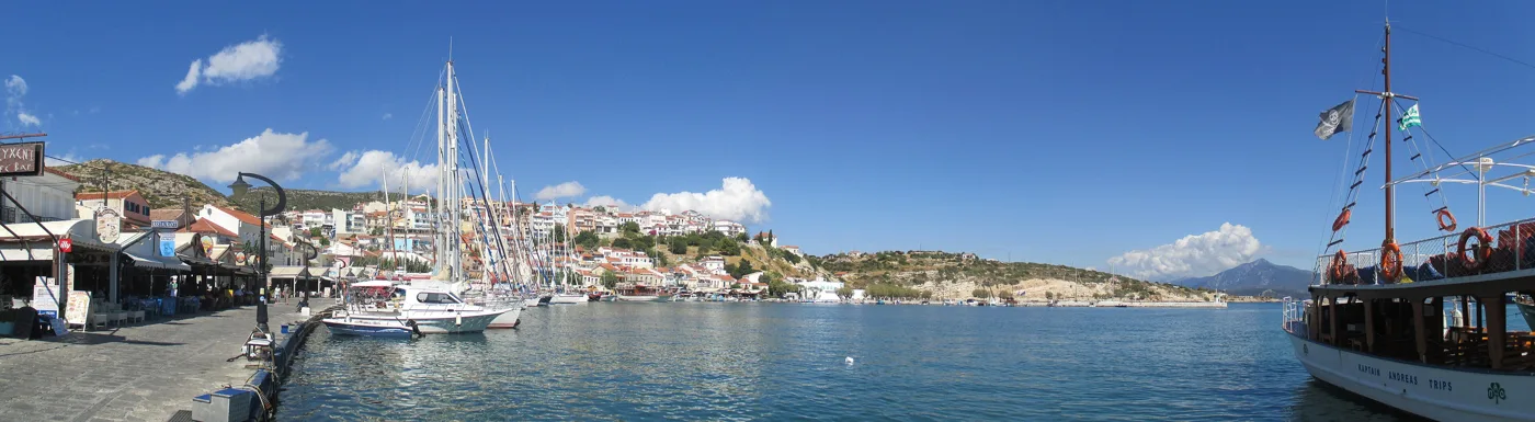
Cafés and tavernas around the water.
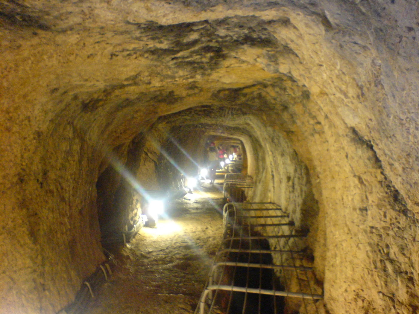
A 6th-century BC tunnel through the mountain.
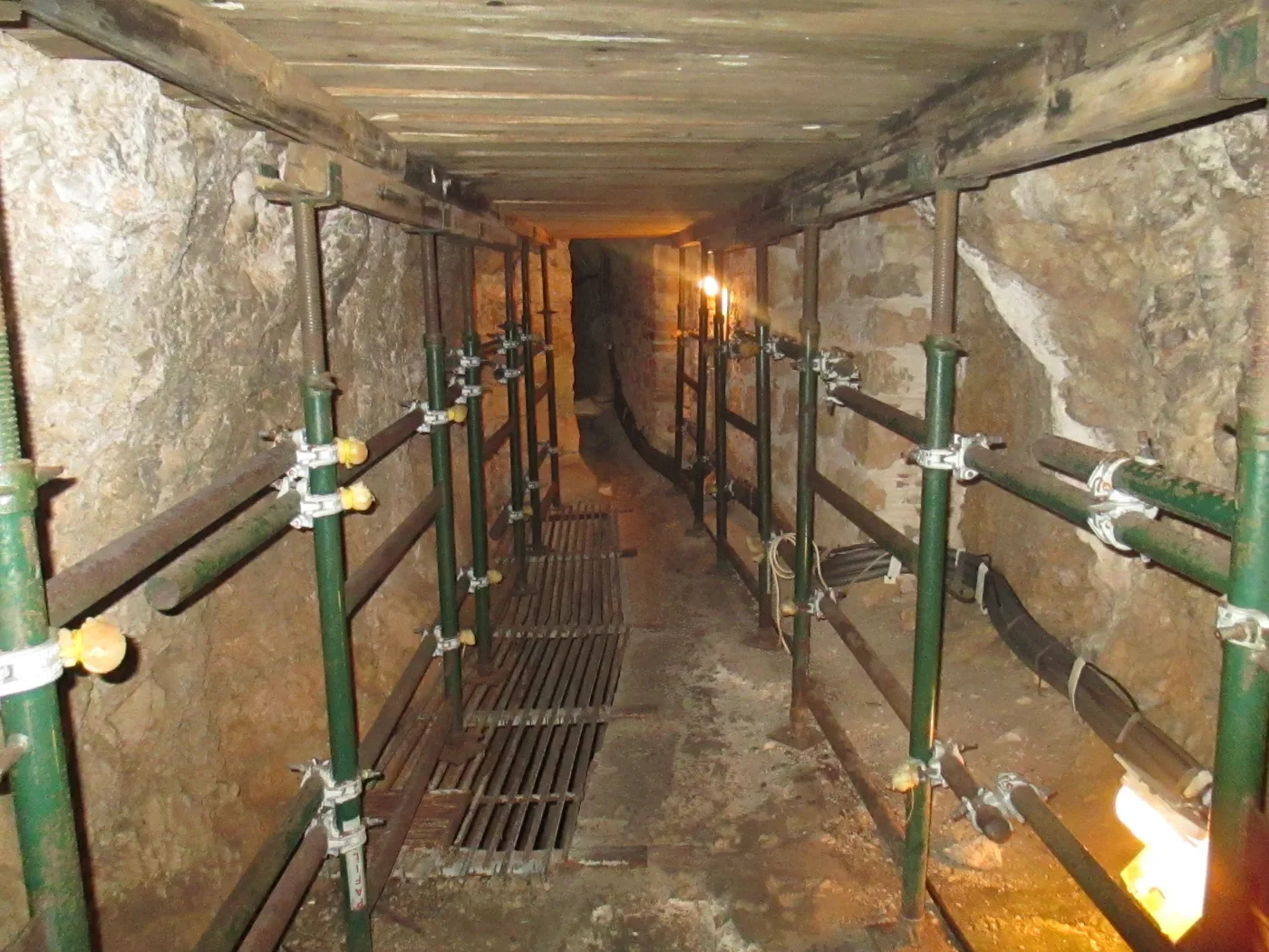
Dug from both ends at the same time.
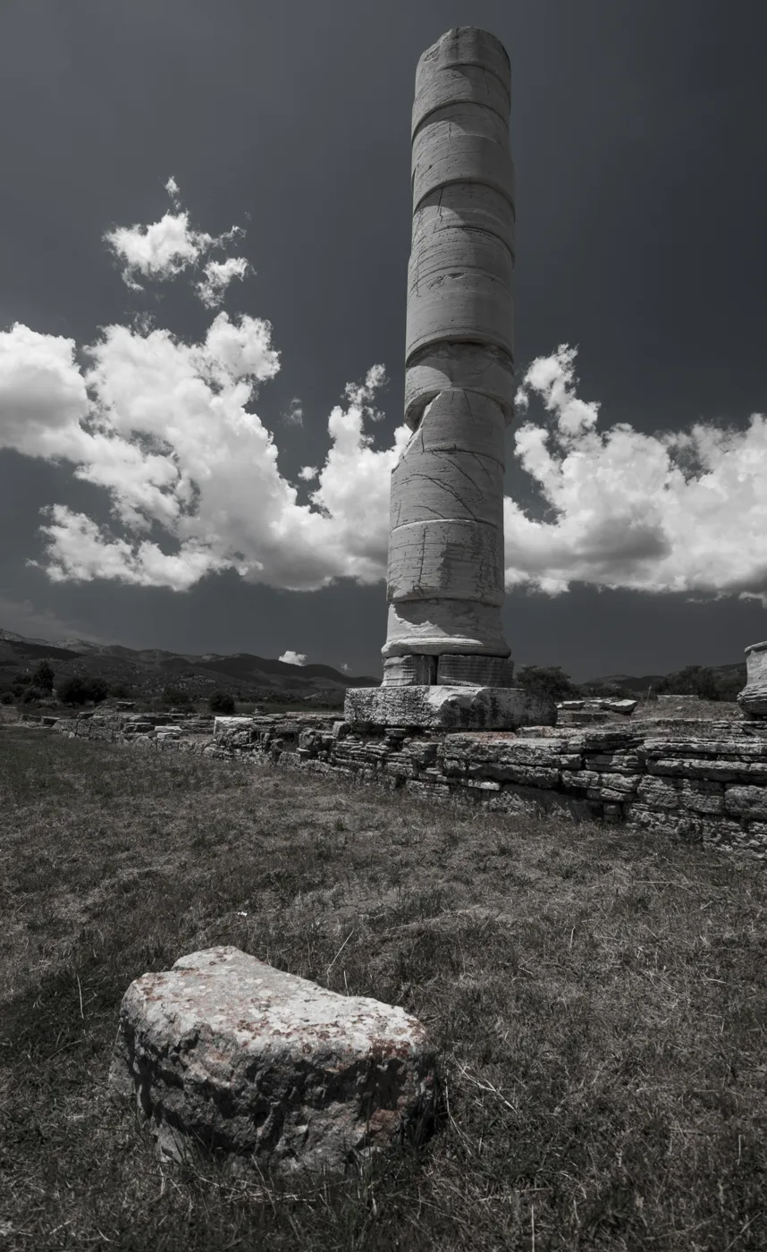
One column of a huge temple.
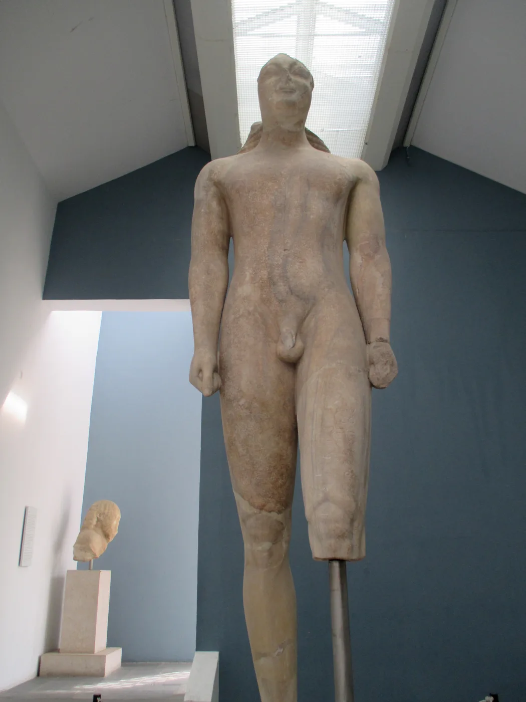
Almost five metres tall.
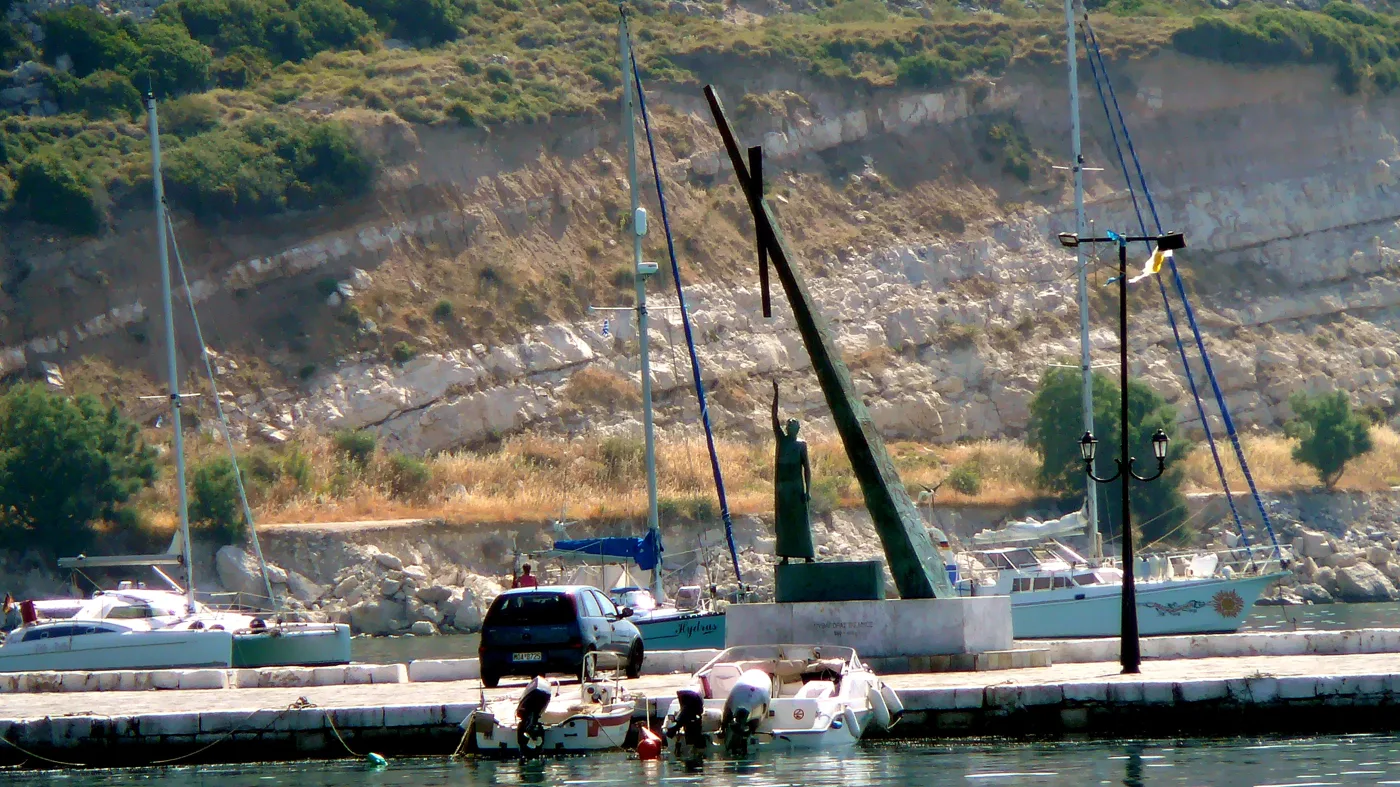
The statue at the harbour.
Photos: Gareth Williams (CC BY 2.0), Tomisti (CC BY-SA 3.0 / 4.0), Moumouza (Public domain), GrigorisKoulouriotis (CC BY-SA 4.0), Petr Kraumann (CC BY 3.0) · Wikimedia Commons
You enter the Tunnel of Eupalinos in small groups, and in summer places run out fast. Book ahead and wear comfortable shoes, because the passage is narrow.
🏛️ Samos town
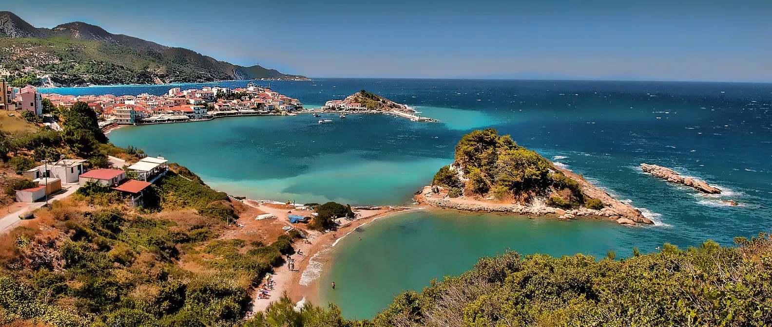
Samos town, also called Vathy, rises like an amphitheatre around a deep bay in the northeast. It has a long waterfront, neoclassical buildings and, on the hill, Ano Vathy with narrow paved lanes.
In the Archaeological Museum you will see the kouros of Samos, a marble statue of a young man almost five metres tall, one of the largest that survive, as well as finds from the Heraion. The town also has a Wine Museum, where you learn about Samos Muscat.
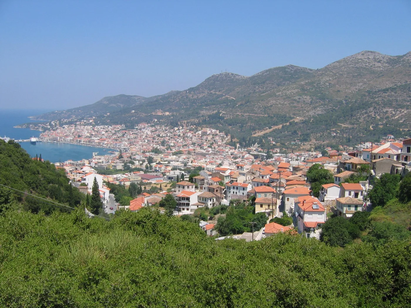
Vathy, around a deep bay.
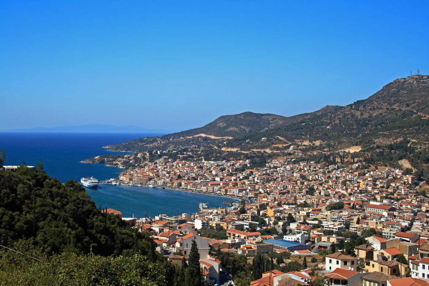
The view from the hills.
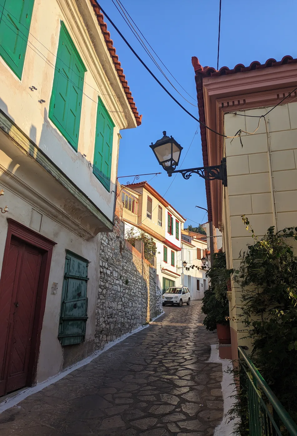
The old lanes above the town.
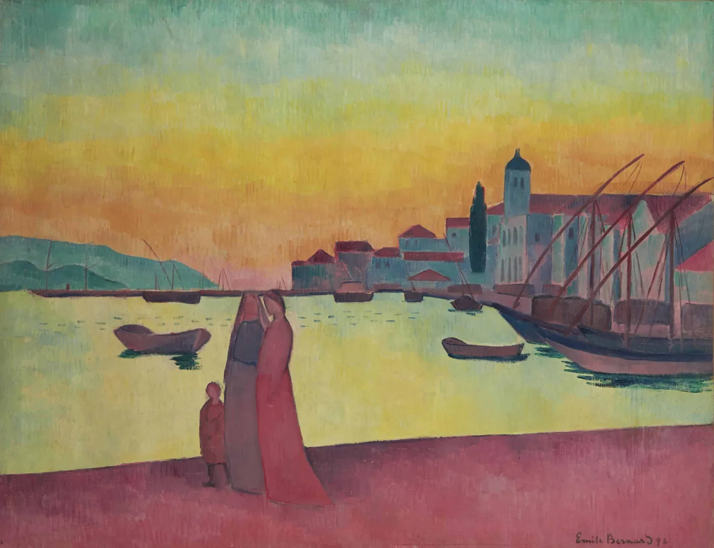
In a painting by Emile Bernard.
Photos: Dybdal (Public domain), Pe-sa (CC BY-SA 3.0), Nikolaos Kyriakakis (CC BY-SA 4.0), Emile Bernard (Public domain) · Wikimedia Commons
🍇 Kokkari and the northern villages
Kokkari was a fishing village on the north coast and today is one of the island's favourite spots, with tavernas right by the waves. Nearby are the beaches of Lemonakia and Tsamadou, with pine trees and very clear water. When the north wind blows, this coast has waves, and Kokkari becomes a windsurfing spot.
Above the coast, on the slopes of Ampelos, are villages with stone houses among vineyards. Manolates looks over the Valley of the Nightingales, where a path goes down among plane trees. Vourliotes has a square with tavernas, and the grapes for Muscat are grown all around it.
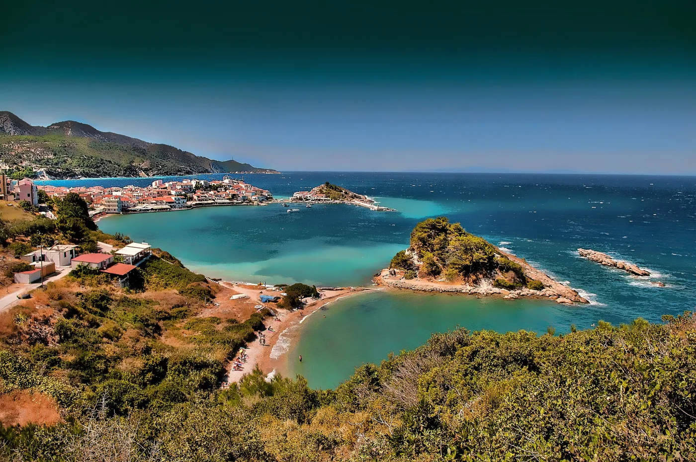
A fishing hamlet on the north coast.
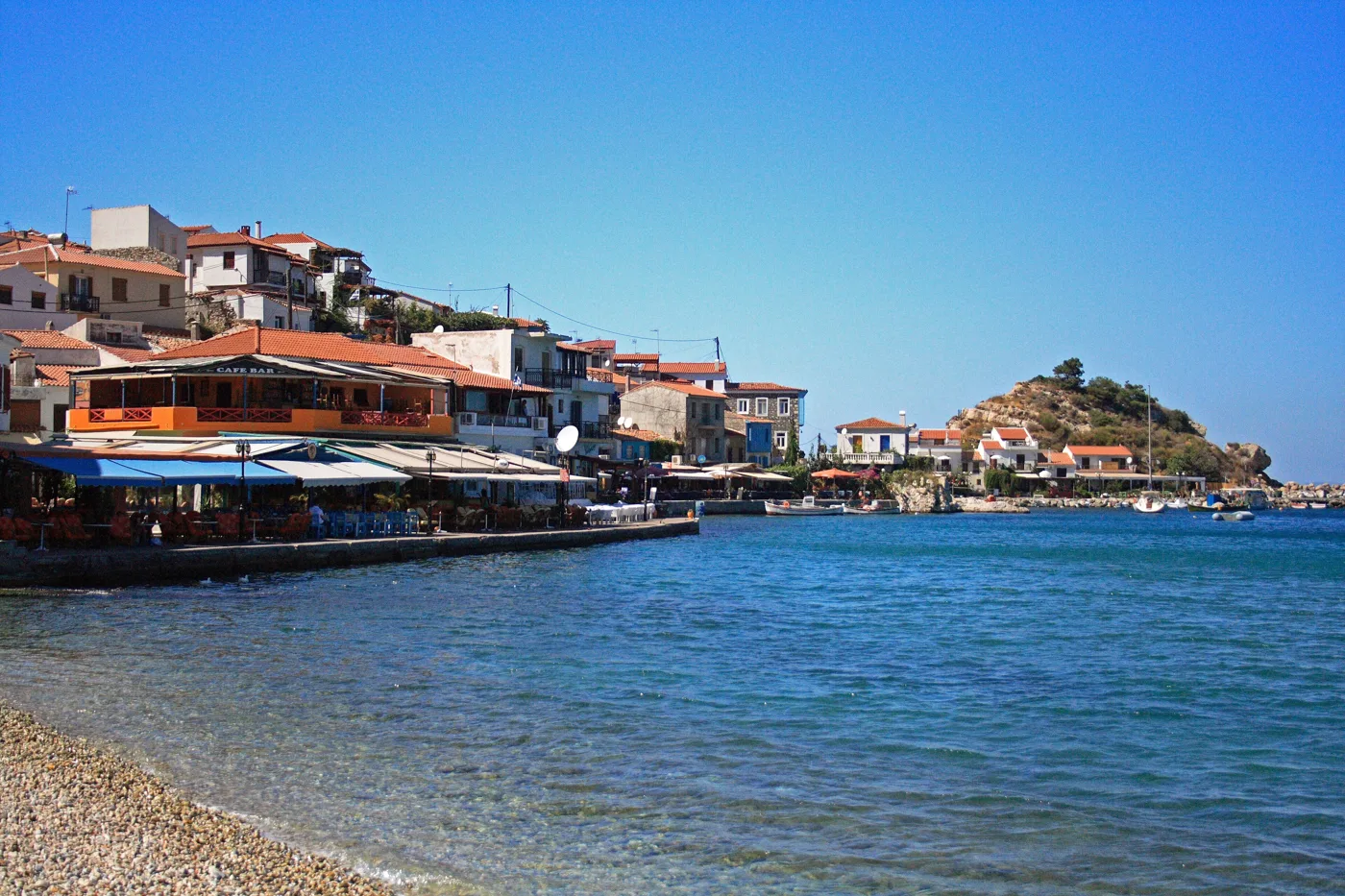
Tavernas by the waves.
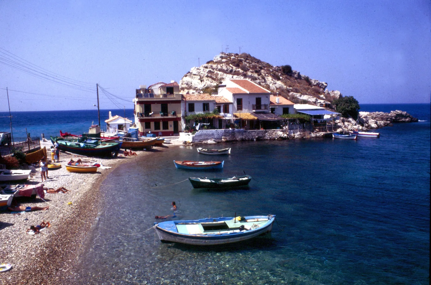
When it was still a fishing village.
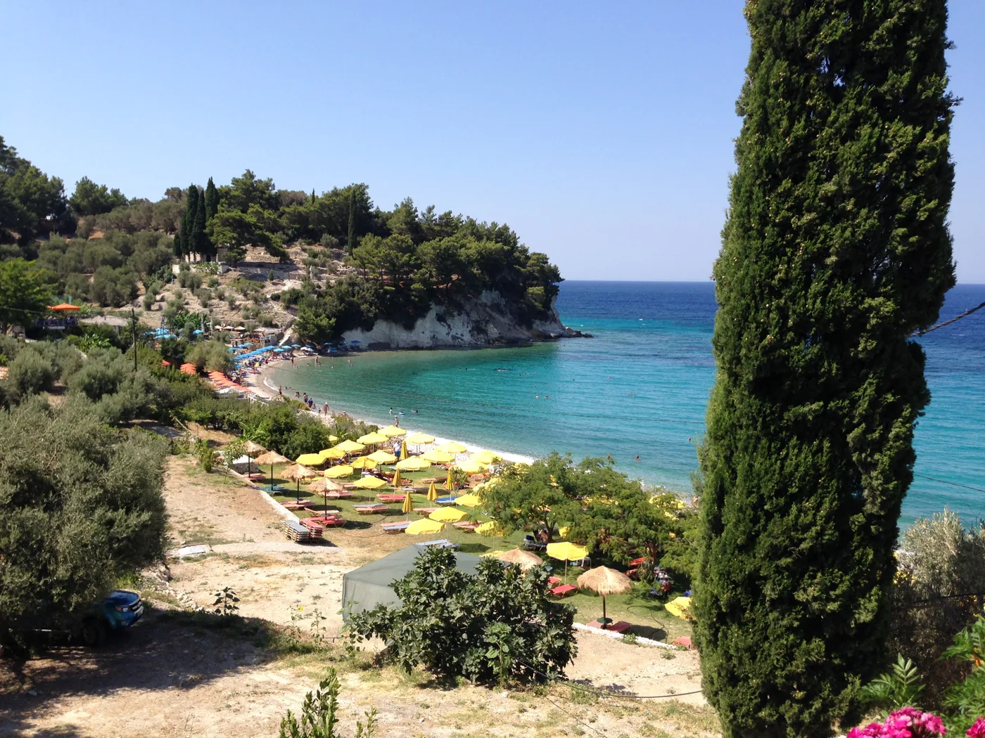
A beach with pine trees next to Kokkari.
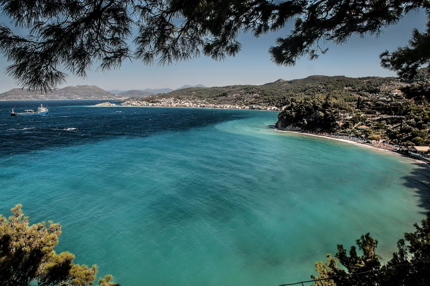
Very clear water.
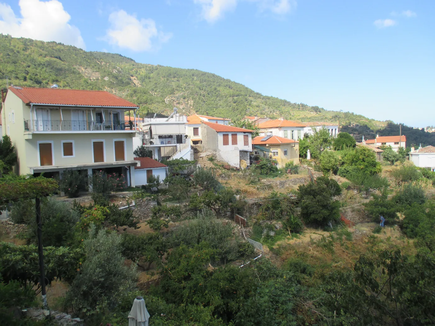
A village above the Valley of the Nightingales.
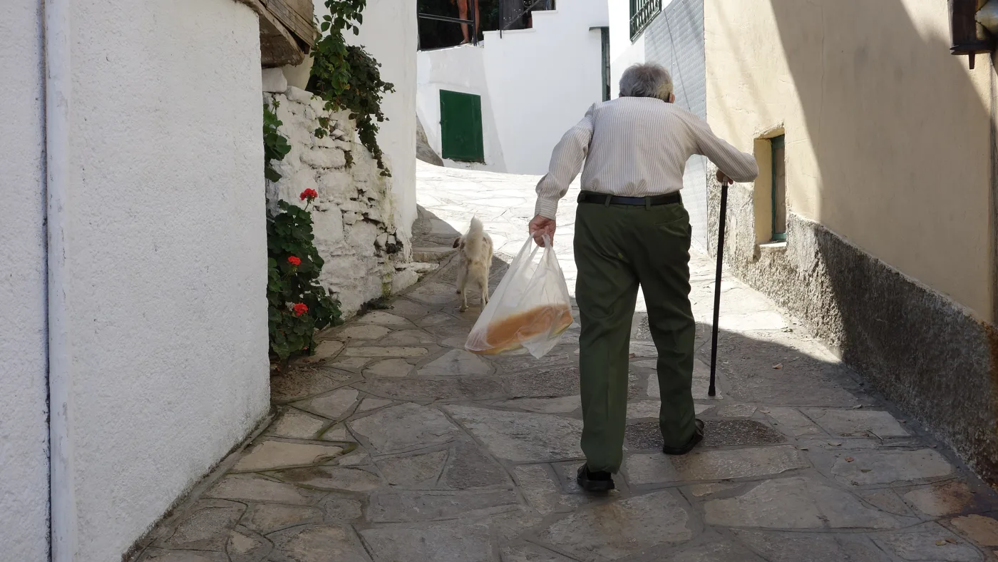
Paved lanes and quiet.
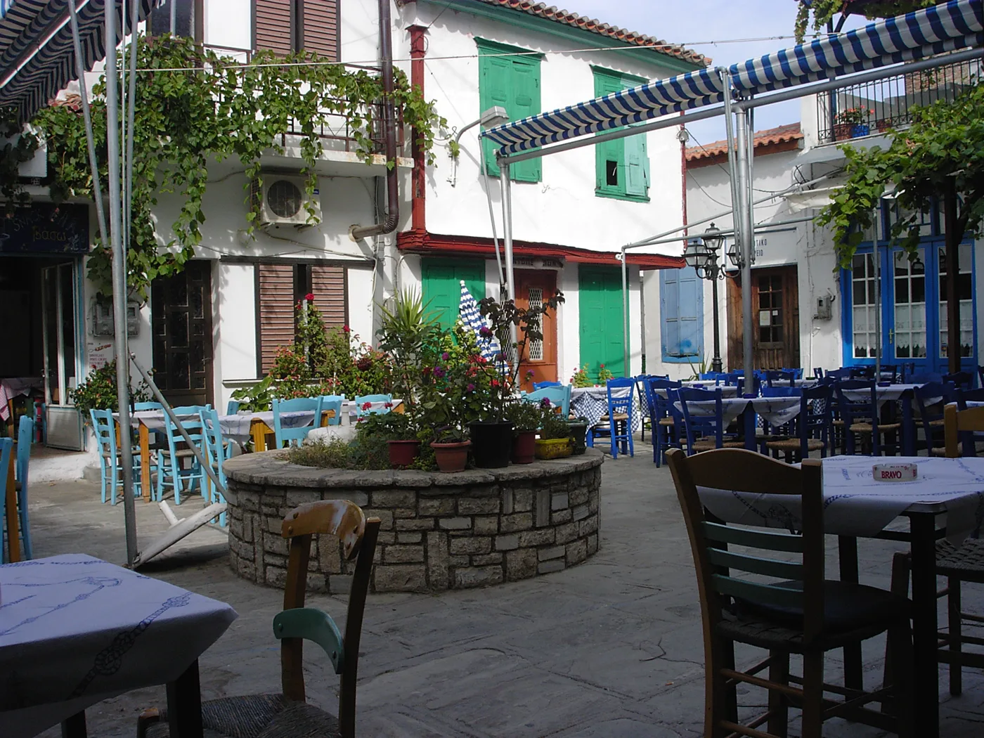
A square with tavernas among vineyards.
Photos: Nikos Anastasiou (Attribution), Pe-sa (CC BY-SA 3.0), Gerd Eichmann (CC BY-SA 4.0), SchusterNorbert (CC BY-SA 4.0), Tomisti (CC BY-SA 4.0), Keldhelbig (CC BY-SA 4.0), Paul IJpelaar (CC BY 3.0) · Wikimedia Commons
🌊 The west and the south
In the west, Karlovasi is the island's second town, with a harbour and large churches. Just outside it are Potami beach and a gorge with small waterfalls. From there a path takes you to Mikro and Megalo Seitani, two beaches with no road, in a protected area where the Mediterranean monk seal lives.
Above the west coast rises Mount Kerkis, the highest mountain on Samos, with trails for experienced hikers. At its foot is Votsalakia, a long pebble beach. At the eastern tip, Psili Ammos is a shallow sandy beach facing Turkey, good for children, and next to it the Alyki lagoon often has pink flamingos.
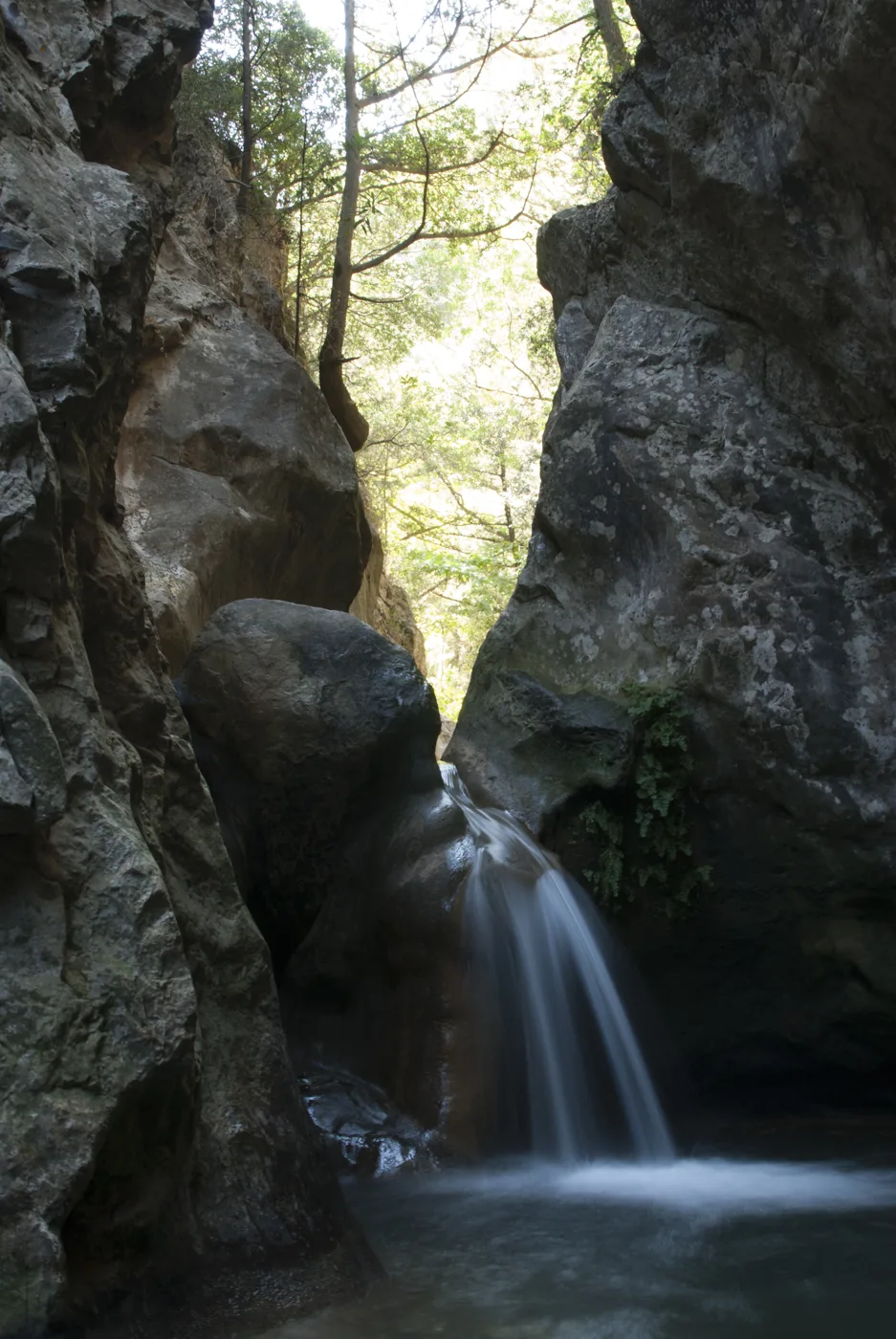
Just outside Karlovasi.
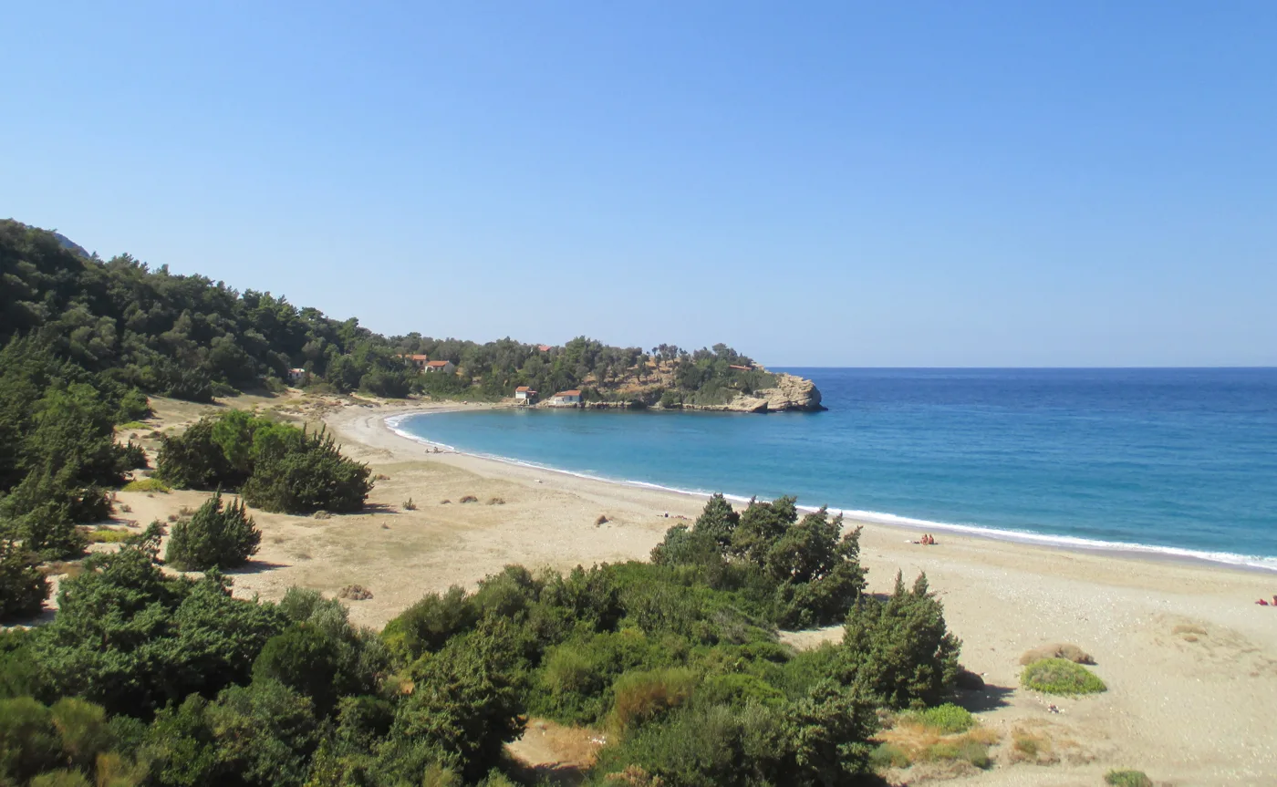
Only on foot or by boat.
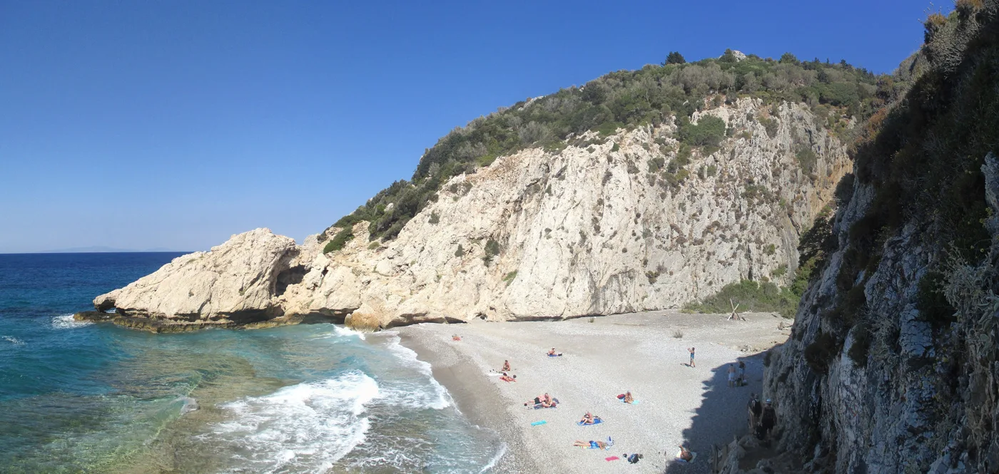
A small cove below the rocks.
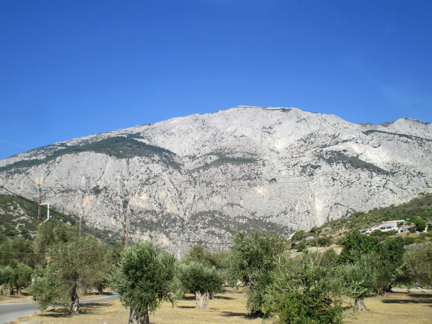
The highest mountain on Samos.
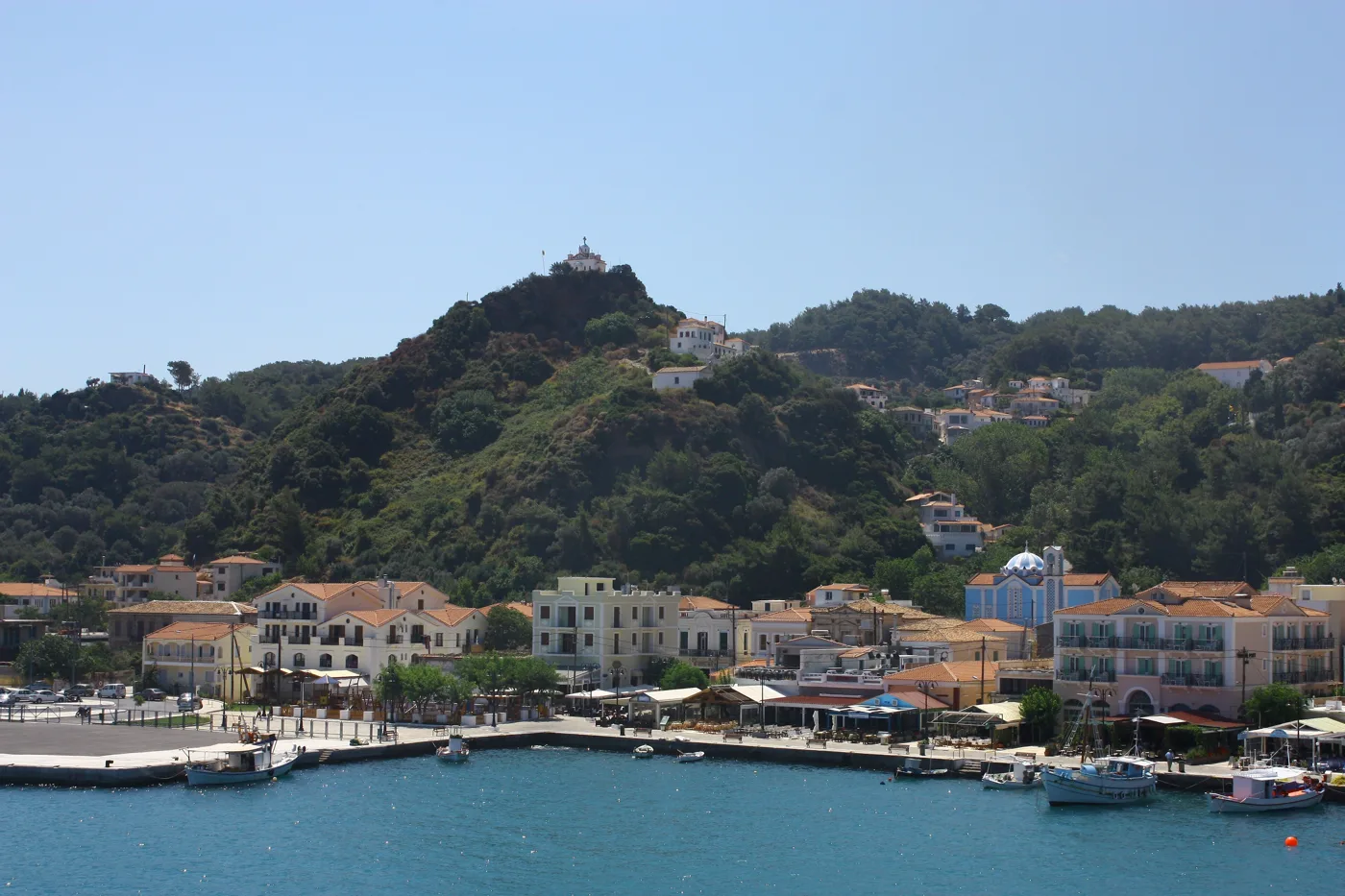
The island's second town.
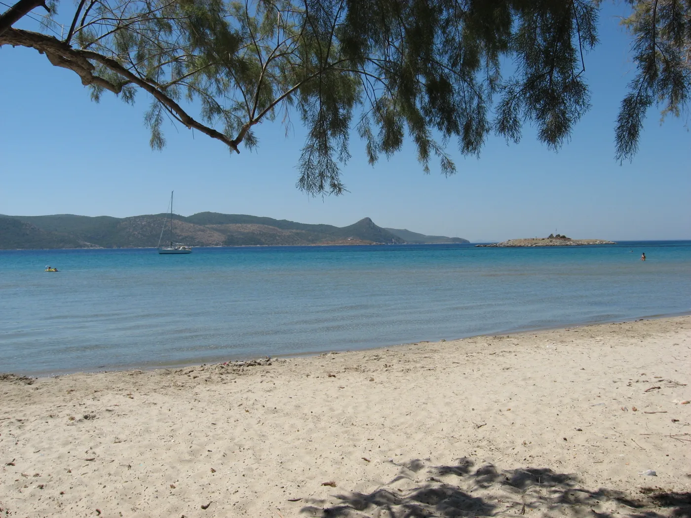
A shallow sandy beach facing Turkey.
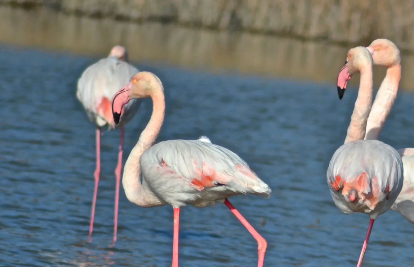
At Alyki, mainly in winter and spring.
Photos: Piet Horden (CC BY-SA 3.0), Tomisti (CC BY-SA 4.0), Ellibah (CC BY-SA 4.0), Bob and Anne Powell (CC BY-SA 3.0), Christoforos99 (CC BY-SA 4.0) · Wikimedia Commons
🏖️ The beaches
- Lemonakia and Tsamadou: pebbles, pine trees and clear water next to Kokkari.
- Psili Ammos: a shallow sandy beach in the east, good for children.
- Potami: a long pebble beach near Karlovasi.
- Mikro and Megalo Seitani: wild beaches, only on foot or by boat.
- Votsalakia: a long pebble beach below Mount Kerkis.
- Pythagoreio and Heraion: organised beaches near the ancient sites.
From Potami to Mikro Seitani the path takes about an hour, and a little longer to Megalo Seitani. Take water, because there is nothing there.
🍽️ What to eat
Try Samos Muscat, the island's sweet white wine, which goes well with desserts and cheese. In village tavernas you will find giaprakia, stuffed vine leaves, oven-baked goat and local honey. In Kokkari and Pythagoreio you can eat fresh fish by the waves.
📅 When to go
The best time is May, June and September: warm sea, green countryside and pleasant weather for walking. In July and August it is hot and more people come, but the island does not fill up like the Cyclades. In winter Samos town and Karlovasi stay lively, but most places to stay by the beaches close.
✈️ How to get there from Athens
| How | Duration | From | Notes |
|---|---|---|---|
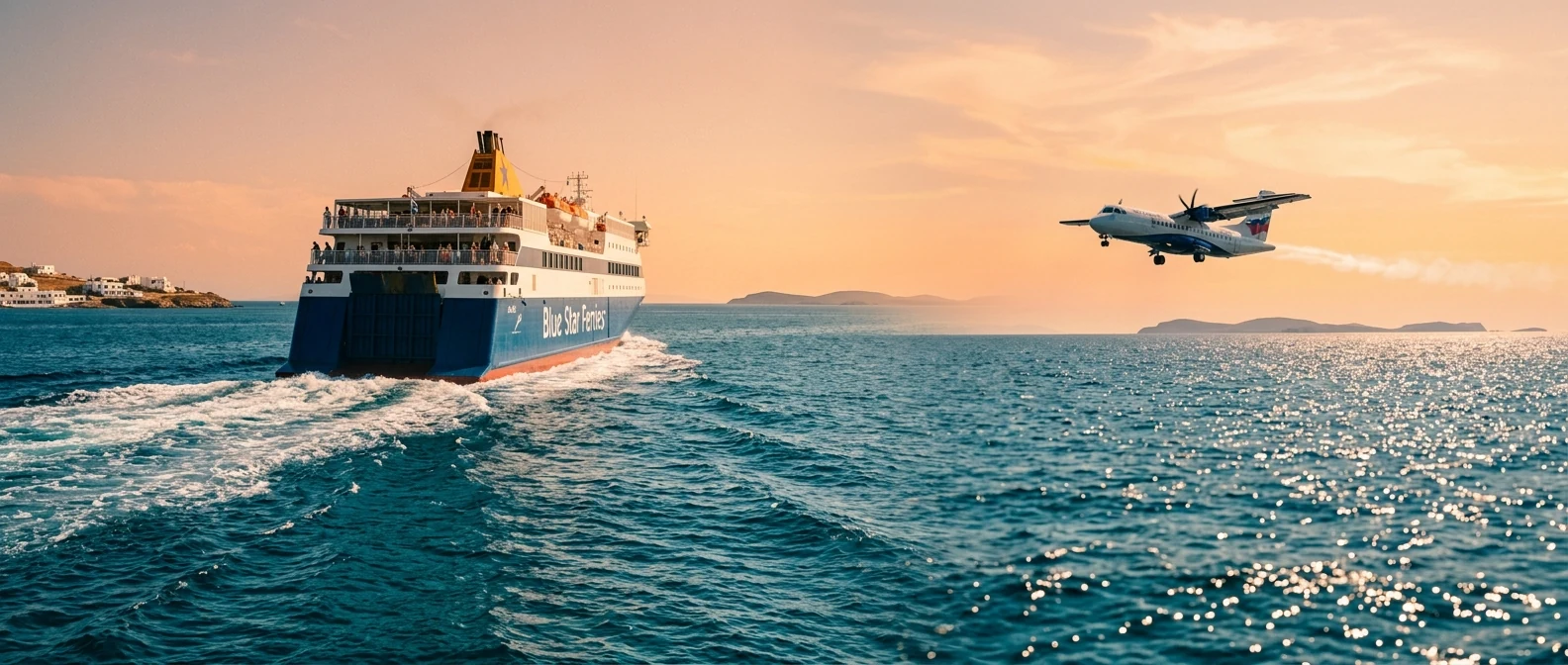
| Plane | About one hour | Athens airport | The fastest way. The airport is next to Pythagoreio. |
| Ferry | About 9–12 hours | Piraeus | Often with stops at Ikaria. Arrives at Vathy or Karlovasi. |
From Ioulianou 50, you reach the airport on Line 1 to Monastiraki and then Line 3. For Piraeus, Line 1 takes you straight to the port. On the island a car gives you freedom, because the island is big. To compare ferry and plane, see our guide to ferry or plane.
🗓️ Four days on Samos
Pythagoreio and the Heraion
Morning at the Tunnel of Eupalinos and the Spiliani Monastery. In the afternoon the Heraion and dinner at Pythagoreio harbour.
The town and Psili Ammos
The kouros at the Archaeological Museum and a walk through Ano Vathy. In the afternoon a swim at Psili Ammos, looking across to Turkey.
Kokkari and the villages
A swim at Lemonakia and Tsamadou. In the afternoon go up to Manolates and Vourliotes for a meal among the vineyards.
The wild west
The Potami waterfalls and a walk to Mikro and Megalo Seitani. Back via Mount Kerkis and Votsalakia.
Frequently asked questions
Where should I stay on Samos?
In Pythagoreio, for the ancient sites, the airport and evening life. In Kokkari, for the northern beaches and the villages. In Karlovasi or Votsalakia, for peace and the west.
Can I go to Turkey from Samos?
Yes. Boats go to Kuşadası, near ancient Ephesus, mainly in summer. You need a passport and, depending on your nationality, a visa.
Is Samos good for children?
Yes. Psili Ammos has shallow water, and the sites of Pythagoreio appeal to children too, especially the Tunnel of Eupalinos.
How many days do I need?
Four to five days for Pythagoreio, the Heraion, Kokkari, the villages and the west. For a relaxed holiday and a trip to Ephesus, a week.
— Kathy