🪪 The island at a glance
📍 Where it is
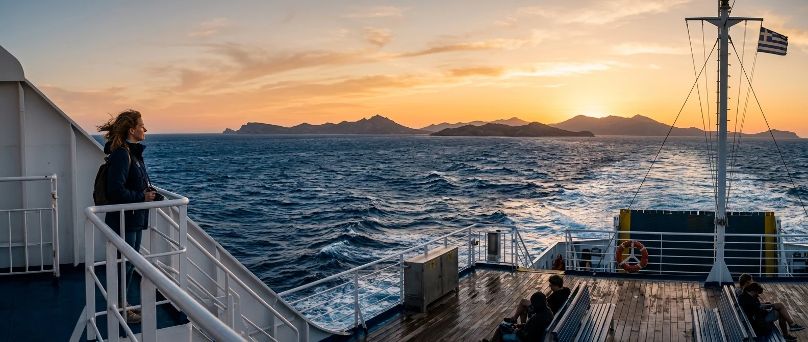
Ammouliani lies in Halkidiki, in the gulf of Mount Athos, opposite the north coast of the Athos peninsula. The ferry leaves from Tripiti, a small harbour near Ierissos, and takes about fifteen minutes, many times a day. From Athens, the fastest way is a flight to Thessaloniki and from there about two hours by car or by the Halkidiki KTEL bus to Tripiti.
📍 Where Ammouliani is
Ammouliani lies in Halkidiki, on the north coast of the Athos peninsula, just before the border of Mount Athos. In red is the island, and in green Athens airport, Thessaloniki and Tripiti, where you arrive from.
🗺️ The map of the island
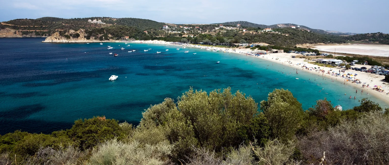
Ammouliani is just five square kilometres, with low green hills and a coast full of coves. The only village, with the same name, Ammouliani, is on the northeast side, around the harbour. One road takes you to the beaches: Tsaska in the north, Karagatsia in the west, and in the south Alykes, Agios Georgios and, next to it, Megali Ammos. To the east, between the island and Ouranoupoli, lie the Drenia islets.
🗺️ The map of Ammouliani
Ammouliani is small, with one village on the northeast coast, where the ferry from Tripiti docks. Around it are the beaches: Tsaska in the north, Karagatsia in the west, Alykes, Agios Georgios and Megali Ammos in the south. To the east, the Drenia islets and Ouranoupoli. Tap each number to see what it is.
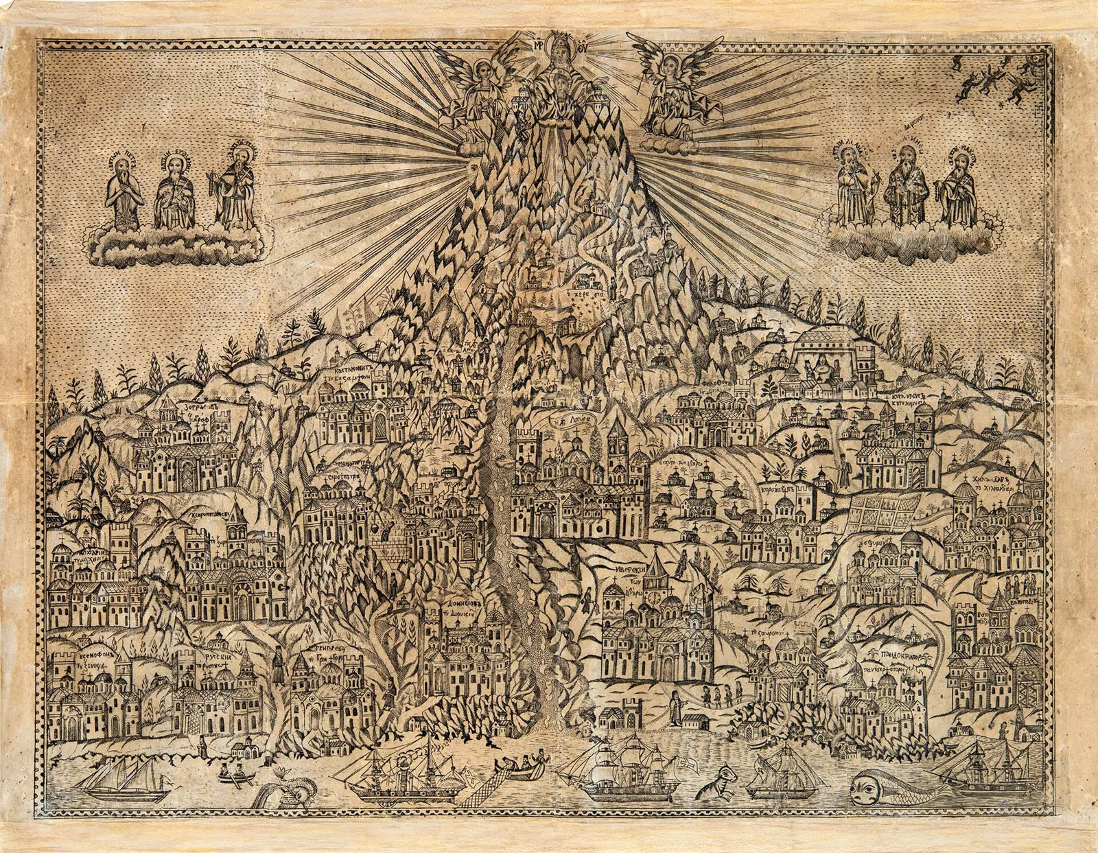
Woodcut: 17th century (Public domain) · Wikimedia Commons
⚖️ Is it worth it? The pros and cons
Ammouliani is an island for the sea and for rest, ideal for families and for anyone travelling in Halkidiki. It has no monuments or nightlife, and the trip from Athens is long. Here is an honest picture.
📊 At a glance, from 1 to 5
👍 The pros
- The only inhabited island of Halkidiki, with sandy beaches and clear water.
- Views of Mount Athos from almost every beach.
- Small: everything on foot, by bicycle or by quad bike.
- Fish tavernas in the harbour with fresh fish every day.
- Easy access: a ferry every little while, all day long.
👎 The cons
- In August it fills up, especially at weekends.
- Far from Athens: a flight and two hours by road.
- No sights beyond the beaches and the village.
- Accommodation books up early for the summer.
🏘️ The village and its history
For centuries Ammouliani was a dependency of the Vatopedi Monastery: here the monks had fields, vineyards and storehouses, and a tower guarded the coast. In 1925, after the Asia Minor Catastrophe, the state gave the island to refugees from the islands of the Propontis, the Sea of Marmara. They were fishermen, and they built the village as you see it today: low houses around a little harbour, a stone church, caiques that go out every night to fish.
Today the village is small and lively, with tavernas on the water, little shops, bakeries and cafés in the square, under the white bell tower. Inside the village there is also a small sandy beach, for a swim two steps from the taverna. In the evening, when the day visitors leave, the harbour grows quiet and the lights of the boats come on.
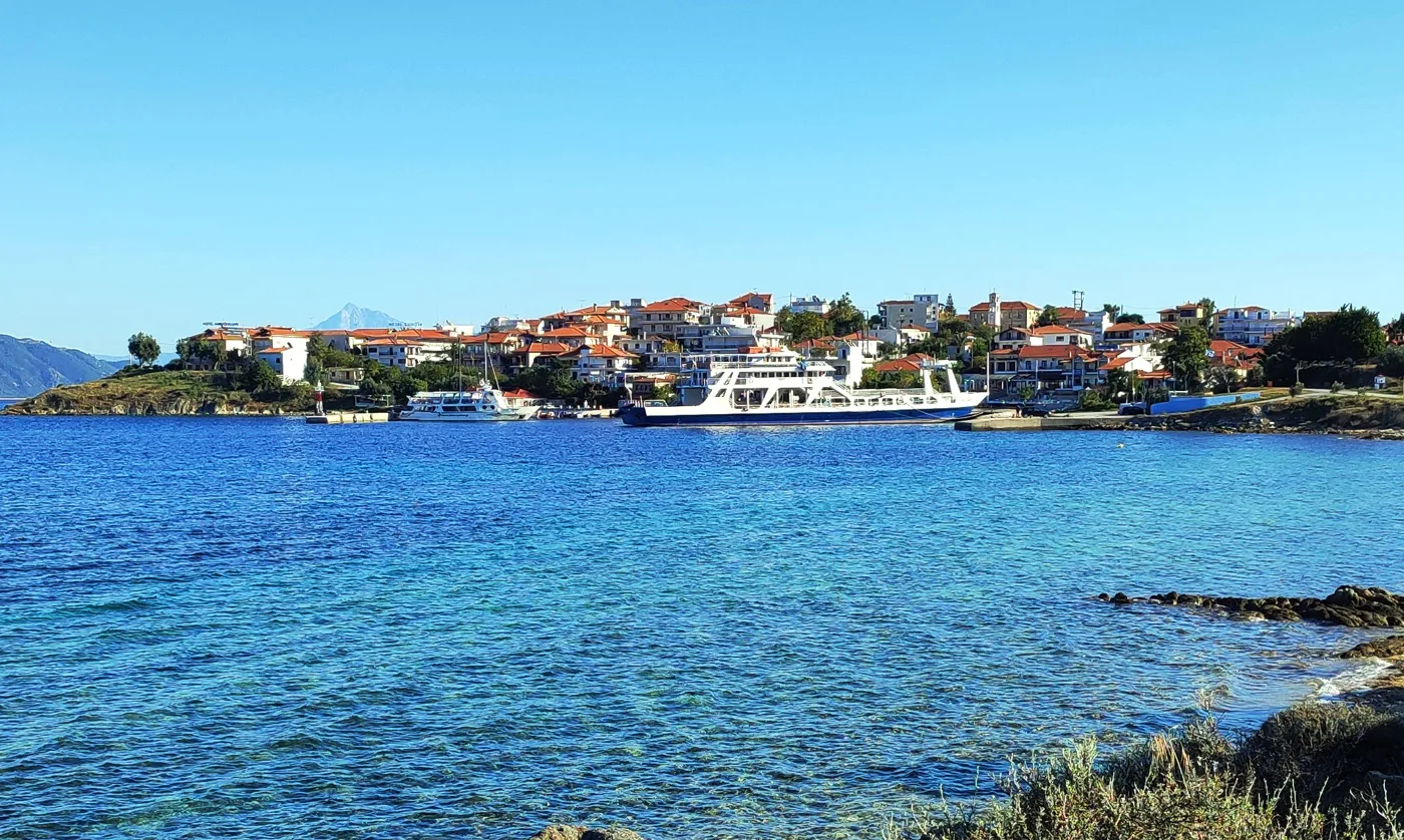
The village from the sea.
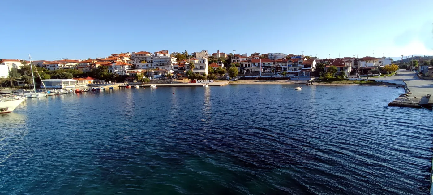
The island’s only village.
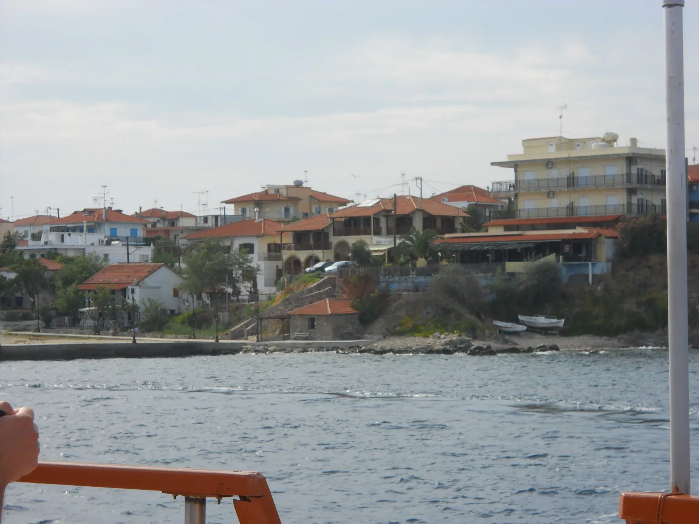
The houses on the water.
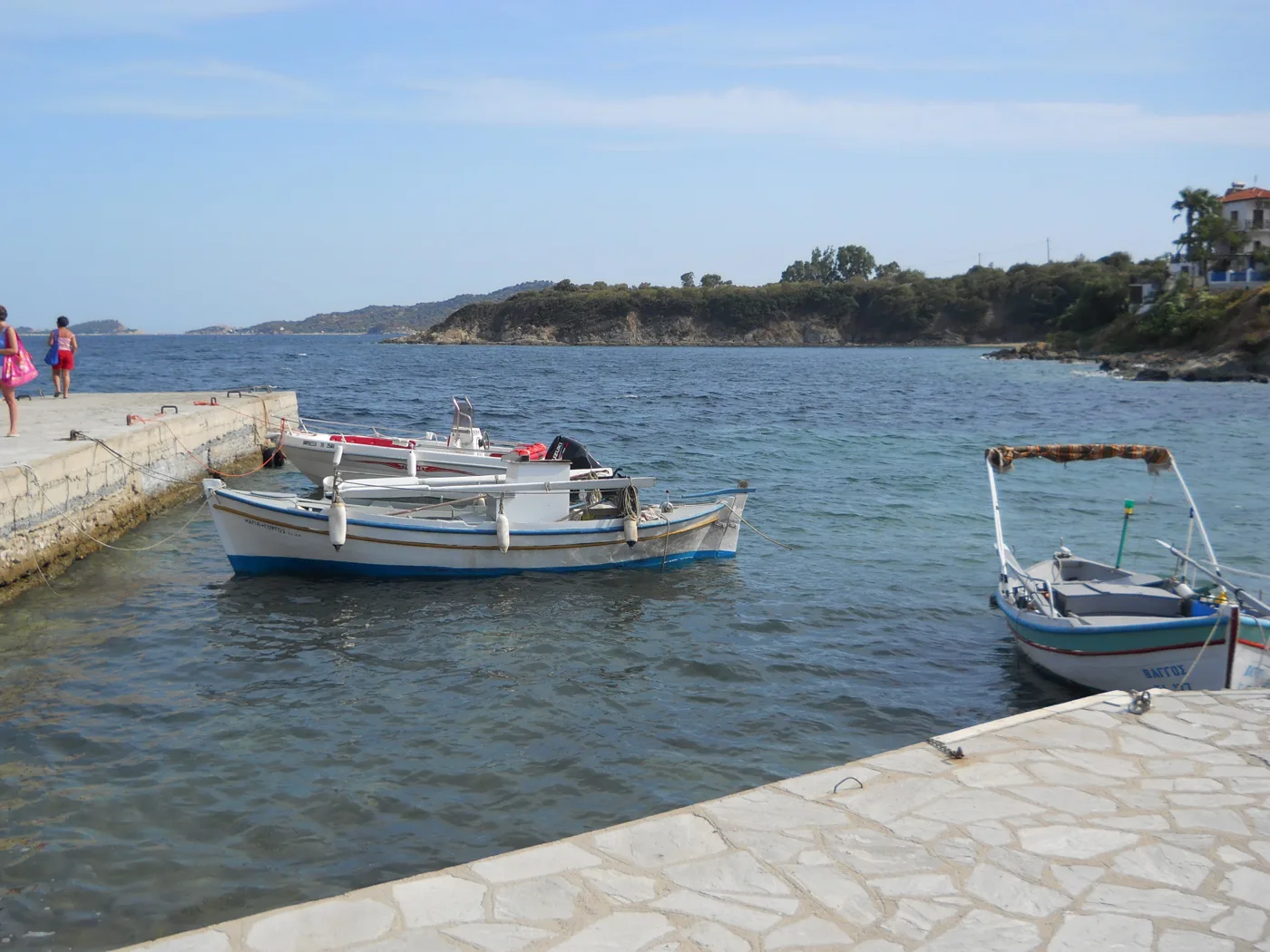
The fishermen's boats.
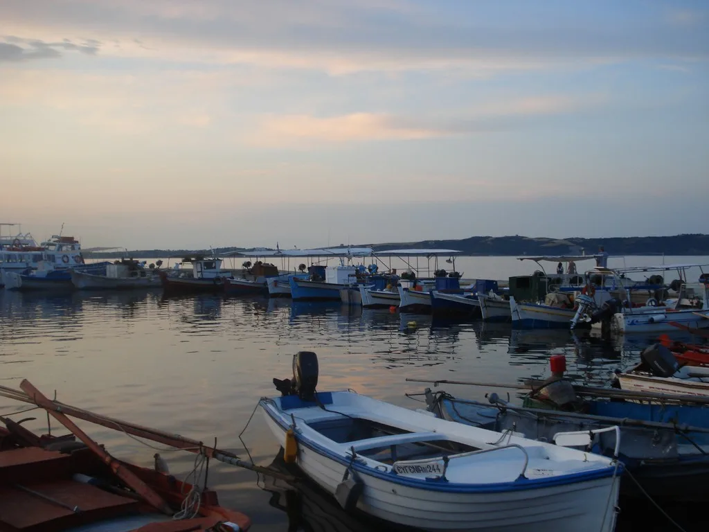
The harbour at the end of the day.
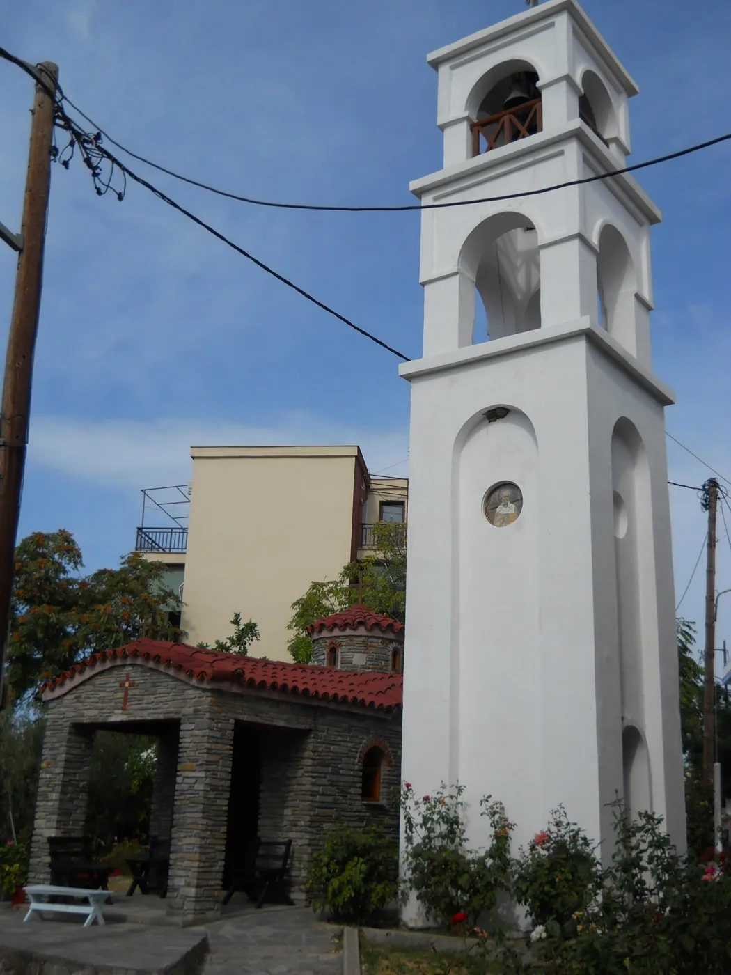
In the village square.
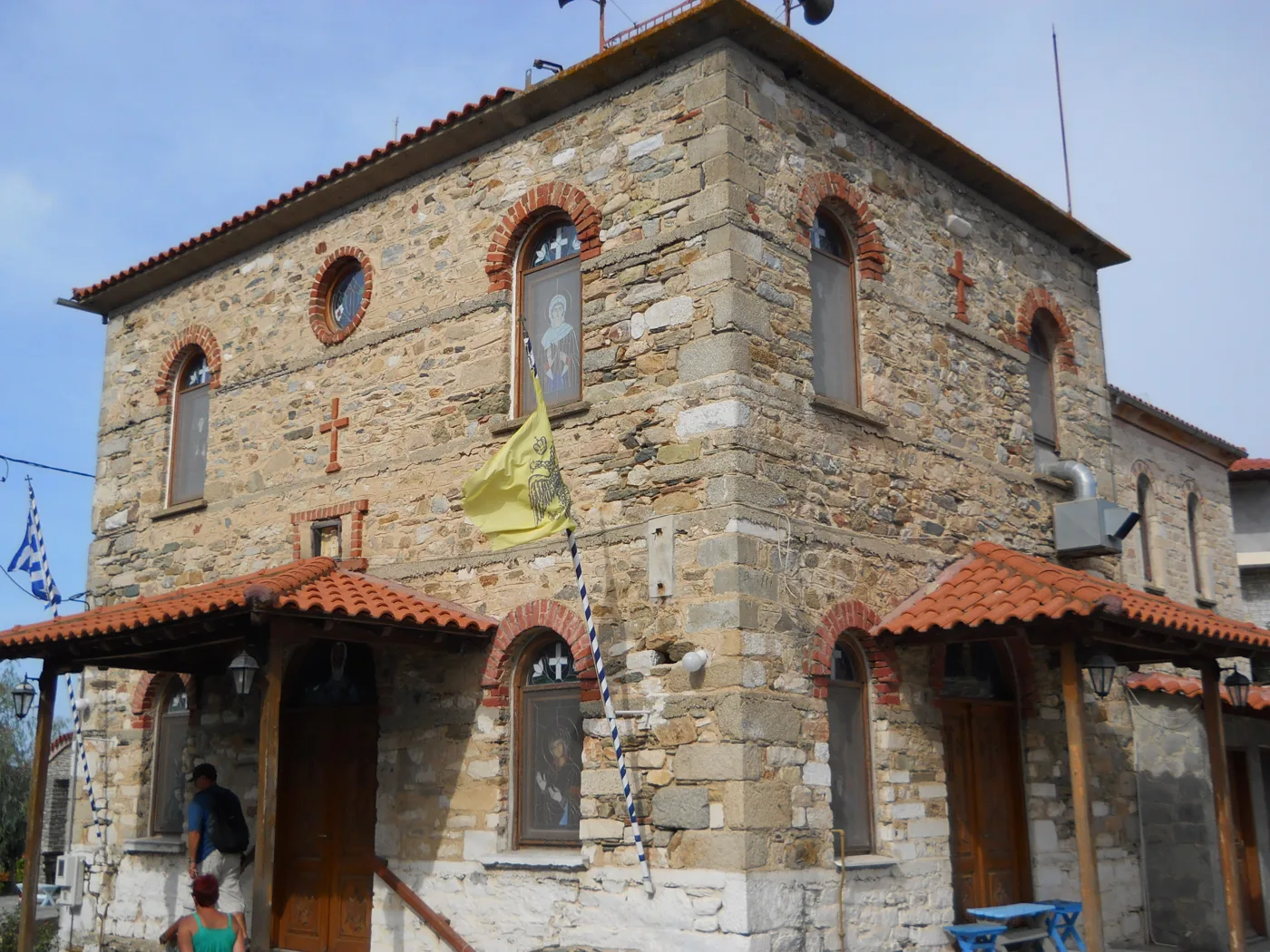
Stone and tile.
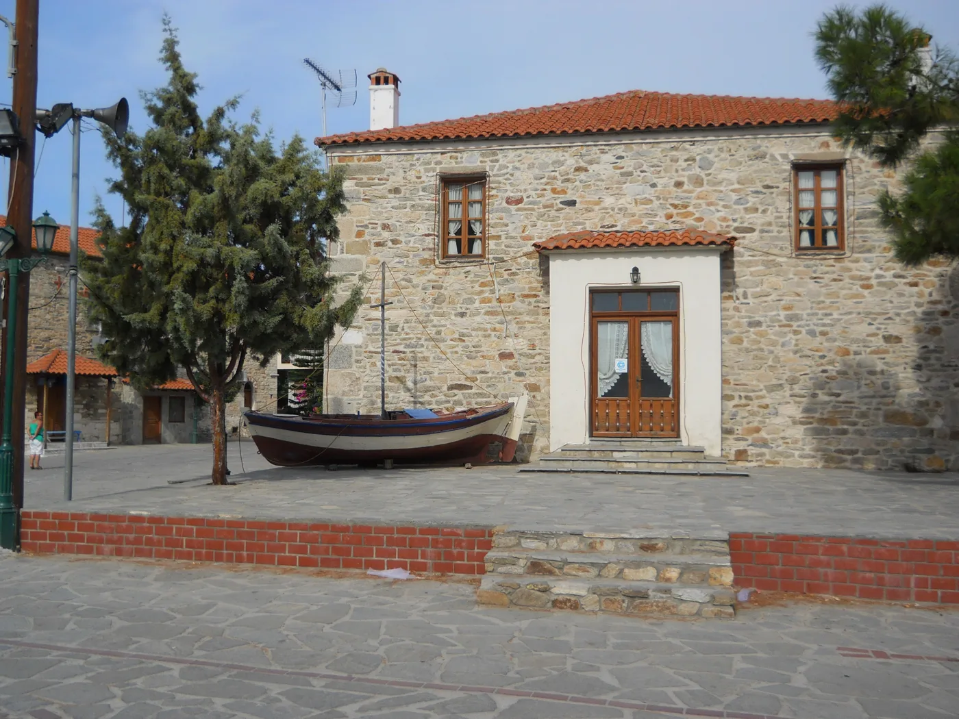
The memory of the fishermen.
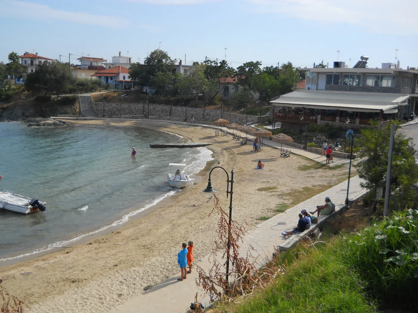
A swim next to the tavernas.
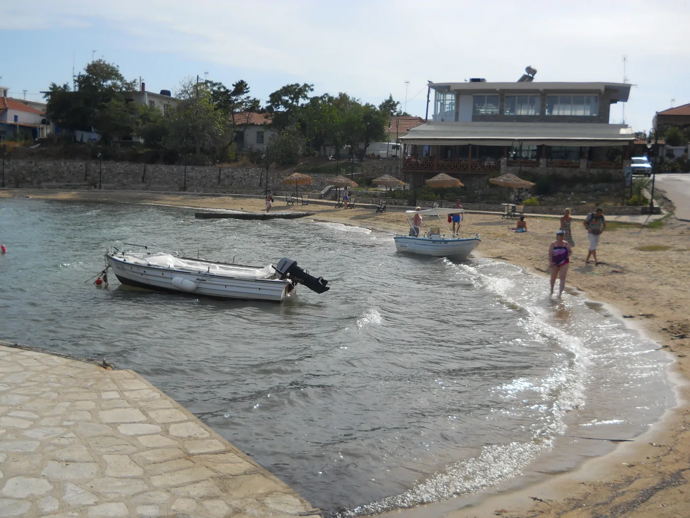
On the water.
Photos: DocWoKav (CC BY-SA 4.0), Itto Ogami (CC BY 3.0), Dimitris Siskopoulos (CC BY 2.0) · Wikimedia Commons
The island is small: the nearest beaches are ten to twenty minutes on foot from the village. For the rest, rent a bicycle, a scooter or a quad bike at the harbour. If you are staying a few days, leave the car in Tripiti.
🏖️ The beaches
The beaches are the reason you come to Ammouliani. Alykes, in the south, is a strip of sand between the sea and a small lagoon, with shallow, clear water, ideal for children. Megali Ammos, in the southeast, is the largest beach on the island, with Mount Athos and the Drenia opposite. Agios Georgios lies between them, smaller and quiet. In the west, Karagatsia is a bay with pine trees and the best sunset, and in the north Tsaska is the most secluded.
- Alykes: shallow, clear water, ideal for children.
- Megali Ammos: the largest, with views of Mount Athos.
- Agios Georgios: small and quiet, between the two.
- Karagatsia: a bay with pine trees, for the sunset.
- Tsaska: secluded, on the north coast.
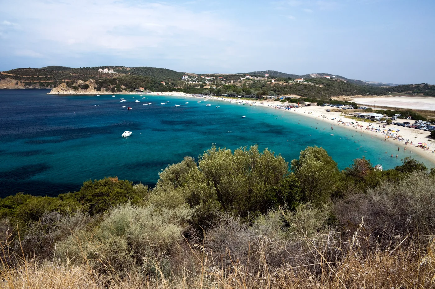
The biggest beach on the island.
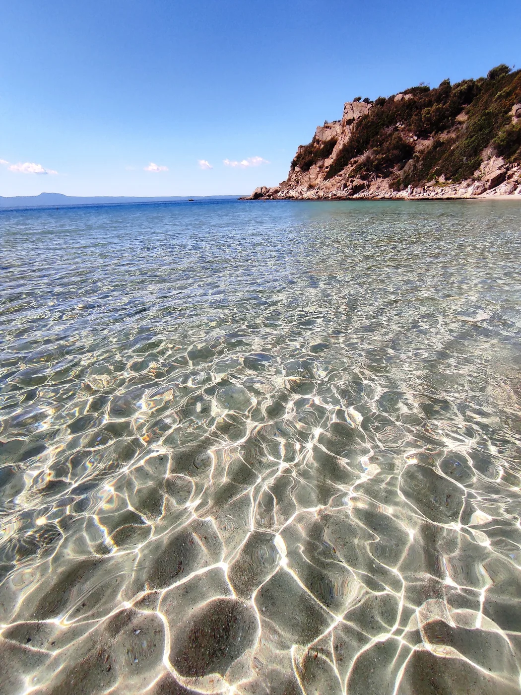
Clear, like a swimming pool.
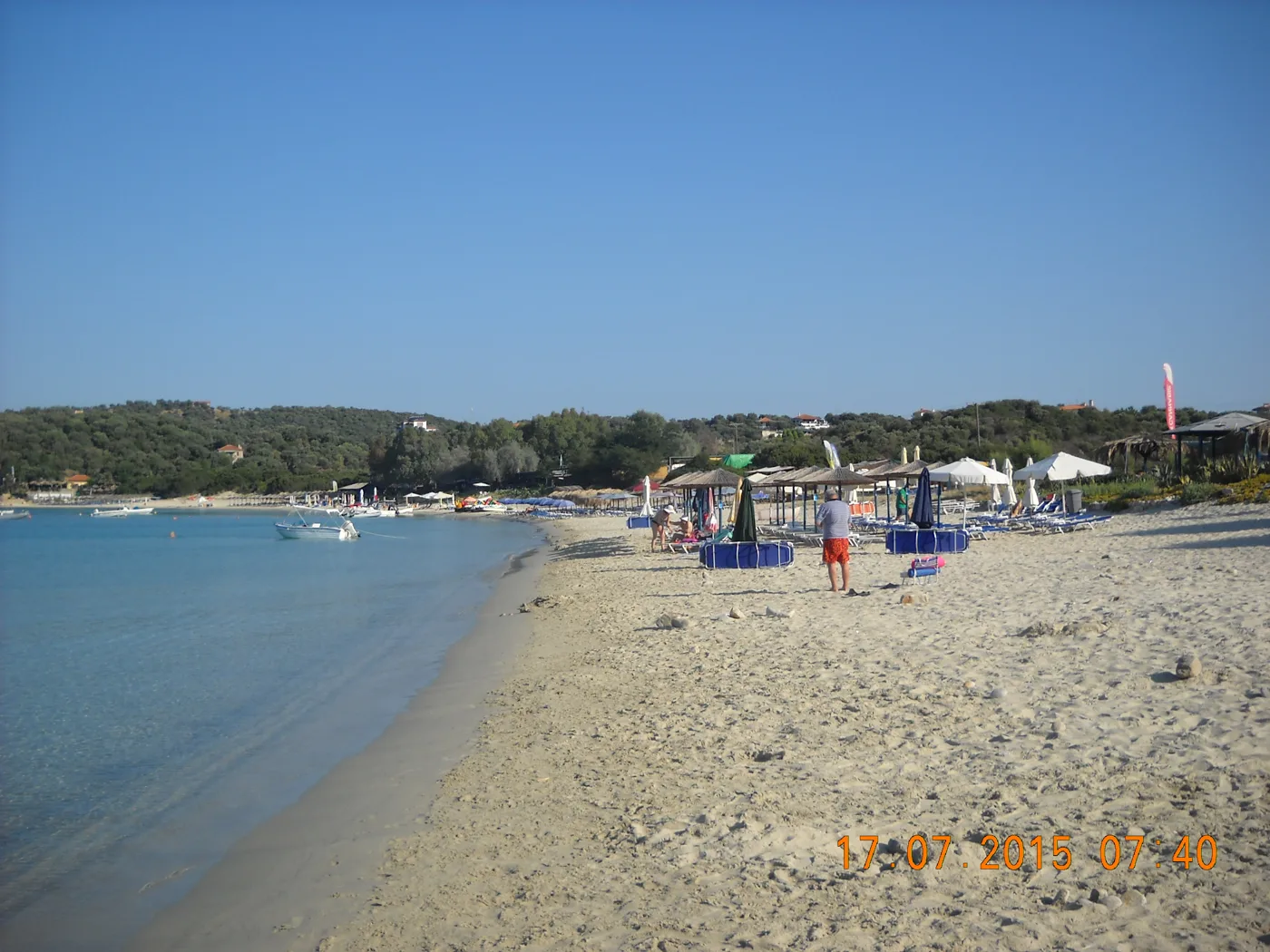
Between two seas.
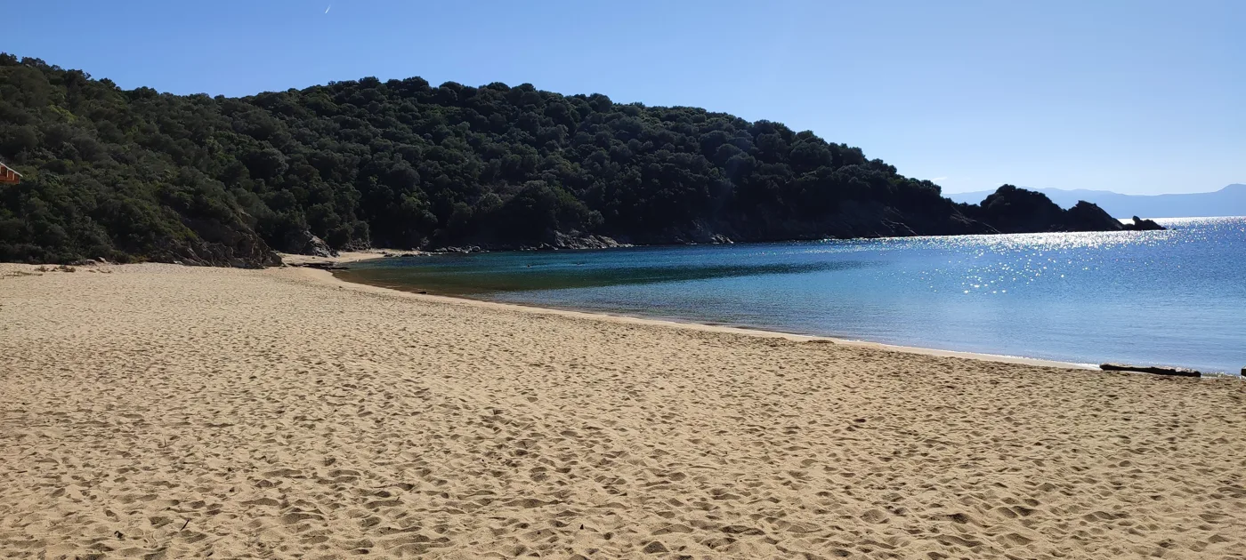
A quiet bay in the west.
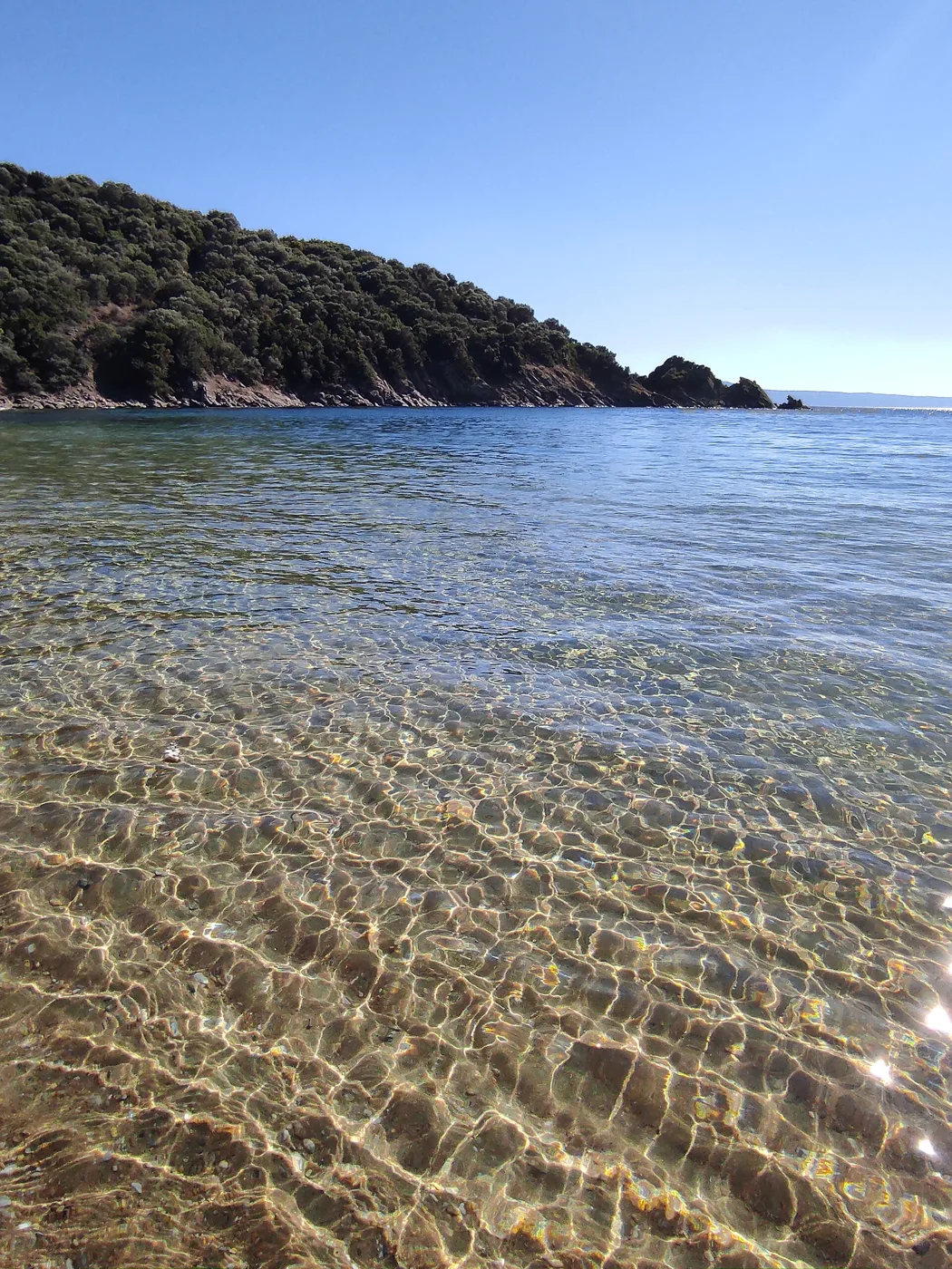
At Karagatsia.
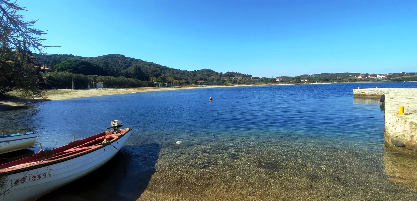
Calm water and sand.
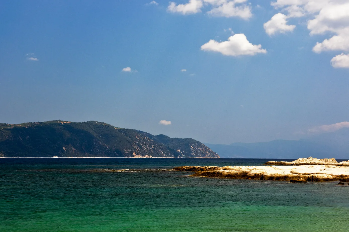
The view from the south coast.
Photos: Horia Varlan (CC BY 2.0), PLAKLE (CC BY-SA 4.0), dragi.stanojevic63 (CC BY-SA 3.0), DocWoKav (CC BY-SA 4.0) · Wikimedia Commons
⛵ The Drenia and Mount Athos
Between Ammouliani and Ouranoupoli lie the Drenia, six small islets with pine trees and sandy beaches, where boats from the harbour drop you off for a swim and pick you up again in the afternoon. Further on begins Mount Athos, the monastic state with its twenty monasteries, which only men may enter, with a special permit. But everyone, men and women, can see it from the sea: cruises leave from Ouranoupoli and Ammouliani and sail along the coast, past monasteries built on the rocks.
In Ouranoupoli, the last village before the border of the Mountain, you will see the Tower of Prosphorion, a Byzantine tower on the water that once guarded a dependency of the Vatopedi Monastery.
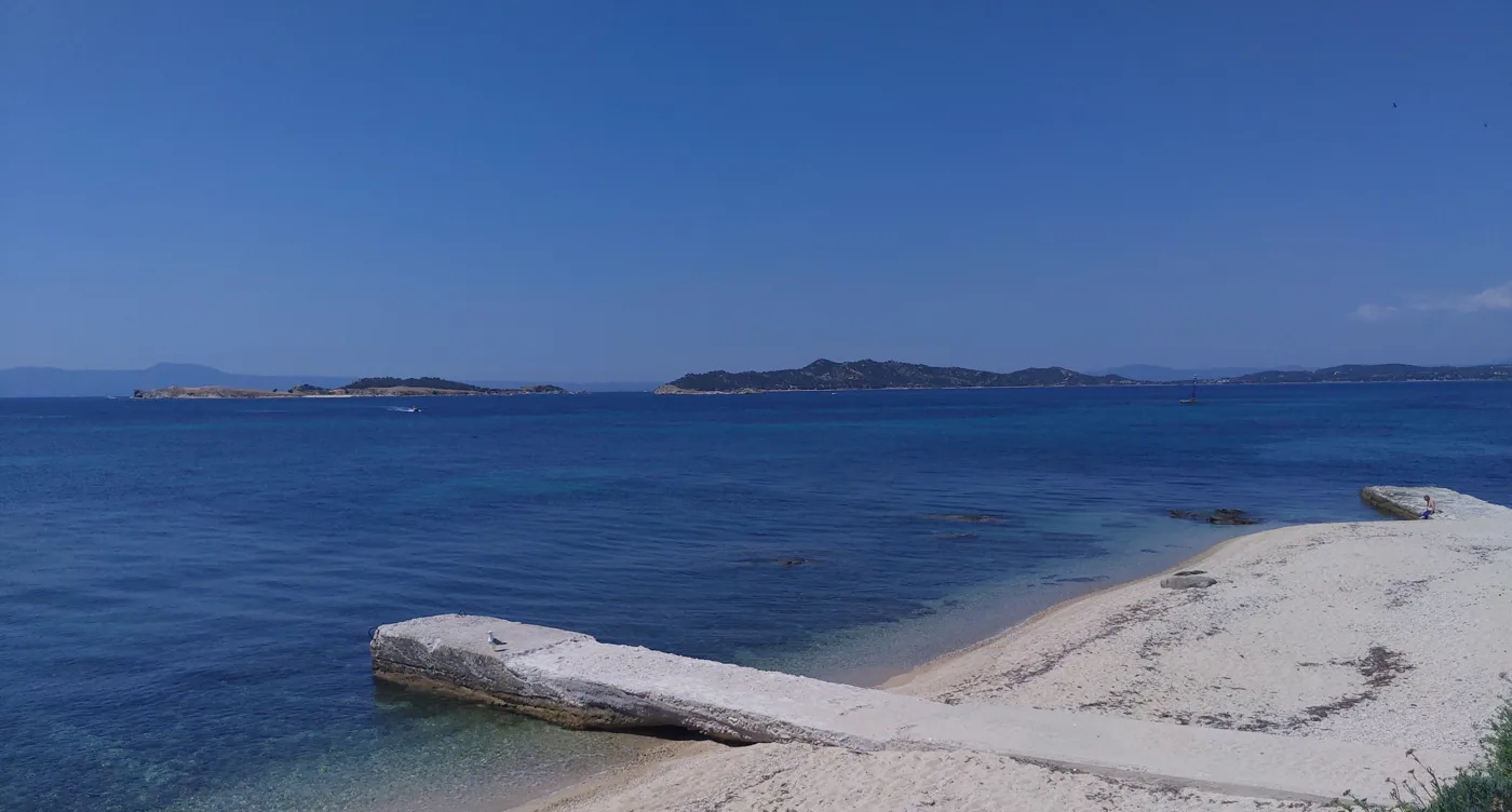
Between Ammouliani and Ouranoupoli.
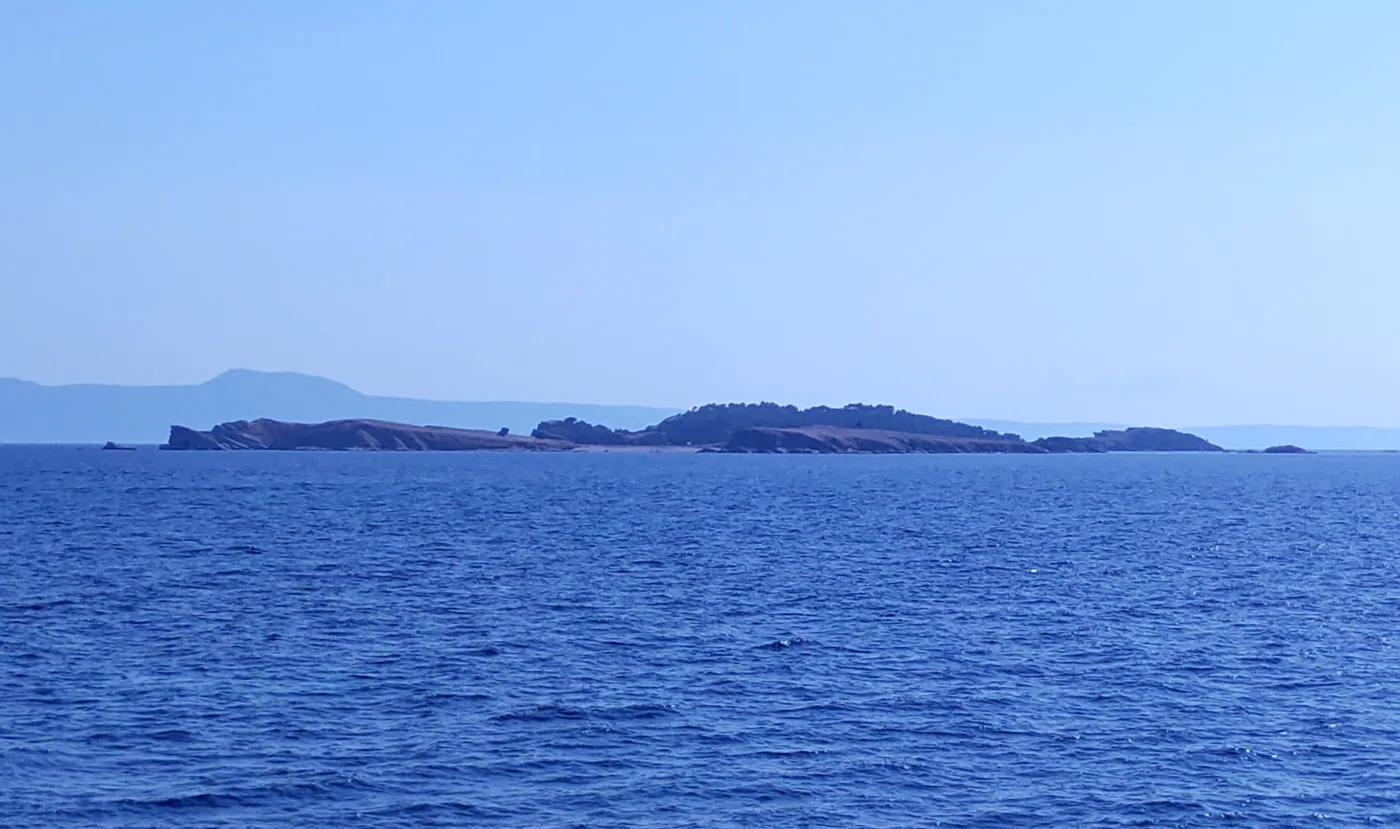
Sandy beaches for a swim by boat.
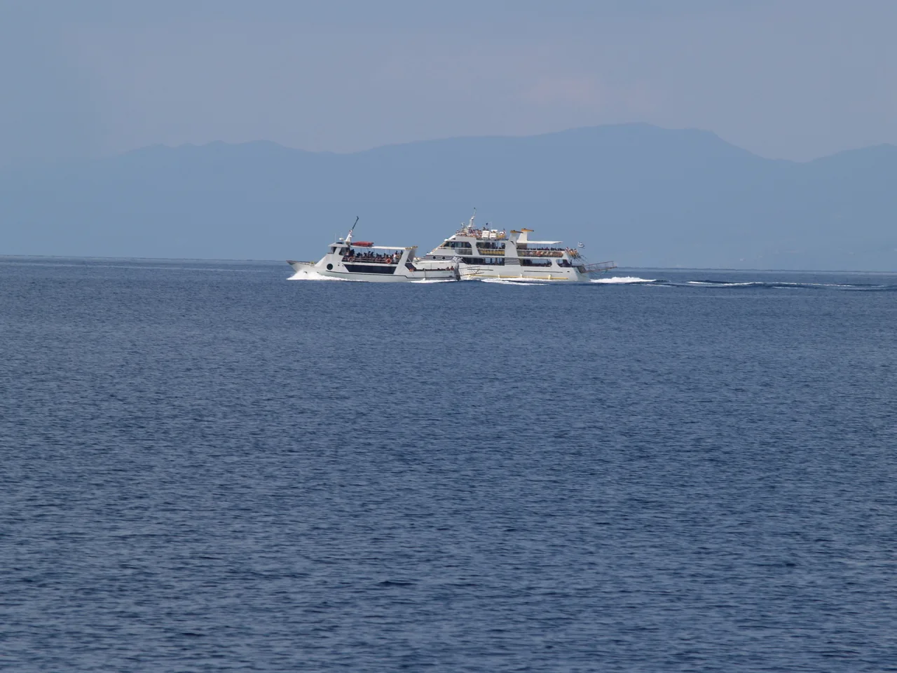
Around Mount Athos.
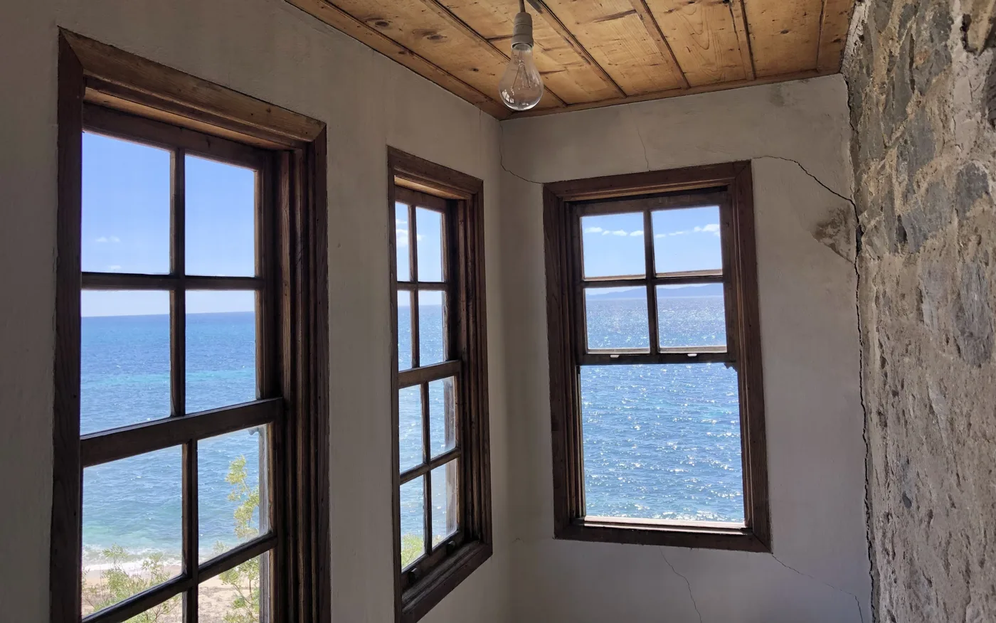
The Tower of Prosphorion.
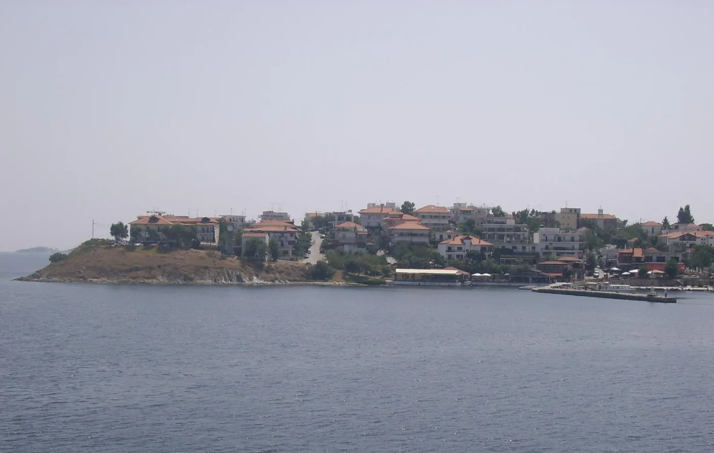
Ammouliani from the sea.
Photos: Tomisti (CC BY-SA 4.0), Dave Proffer (CC BY 2.0), KaiKemmann (CC BY-SA 4.0), Matvilho (Public domain) · Wikimedia Commons
The cruises last three to four hours and keep a distance from the shore, as the rules of the Mountain require. Bring binoculars and go in the morning, when the light falls on the monasteries.
🍽️ What to eat
Ammouliani is a fishing village, and fish is the reason many people come just to eat. In the harbour tavernas you will find fresh fish of the day, sardines, anchovies, octopus, small squid and mussels from Halkidiki, steamed or saganaki. Try the sweets and pies from the bakeries, which the refugees brought from the Propontis, and a wine from the vineyards of Mount Athos.
📅 When to go
June and September are the best months: warm sea, shops open and few people. In July and above all in August, the island fills with families from Thessaloniki, and at weekends there are queues for the ferry. From October to April most accommodation and tavernas close.
✈️ How to get there from Athens
| How | Duration | From | Notes |
|---|---|---|---|
| Plane and car | About 50 minutes + 2 hours | Athens airport → Thessaloniki → Tripiti | The fastest way. Many flights every day. |
| Train and KTEL bus | About 4.5 hours + 2.5 hours | Athens station → Thessaloniki → Tripiti | Without a car, changing in Thessaloniki. |
| Ferry | About 15 minutes | Tripiti → Ammouliani | Many times a day, also takes cars. |
From Ioulianou 50 go to the airport on Line 1 to Monastiraki and change to Line 3. For the train, Larissa Station is one stop on Line 2 from Viktoria, next to Ioulianou. From Thessaloniki, the Halkidiki KTEL bus goes to Tripiti and Ouranoupoli. For other islands of the north, see our guide to Thasos.
🗓️ Three days on Ammouliani
The village and Alykes
Ferry from Tripiti in the morning. A walk around the harbour and the village, coffee in the square. A swim at Alykes, in the shallow clear water, and a walk along the strip of sand between the sea and the lagoon. In the evening, fish in the harbour.
Megali Ammos and the Drenia
Morning at Megali Ammos, with Mount Athos opposite. At midday, a boat to the Drenia and a swim on their sandy beaches. Afternoon at Karagatsia for the sunset.
Mount Athos from the sea
A cruise along Mount Athos, with the monasteries on the rocks. Return from Ouranoupoli, with a stop at its Byzantine tower, and a last swim at Agios Georgios.
Frequently asked questions
Can I visit Ammouliani for a day?
Yes, if you are in Halkidiki: the ferry from Tripiti goes back and forth all day. In one day you have time for the village, a swim at Alykes or Megali Ammos and fish in the harbour.
Do I need a car on the island?
No. The island is small, and on foot, by bicycle or by quad bike you can reach everywhere. If you want, you can bring your own on the ferry.
Can women see Mount Athos?
From the sea, yes. The cruises from Ouranoupoli and Ammouliani pass in front of the monasteries and are open to everyone. Only men may set foot on the land of the Mountain, with a permit.
Which is the best beach?
For children and shallow water, Alykes. For a long sandy beach and views of Mount Athos, Megali Ammos. For quiet and the sunset, Karagatsia.
— Kathy