🪪 The island at a glance
📍 Where it is
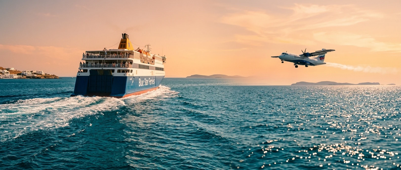
Karpathos lies in the southern Dodecanese, between Rhodes and Crete, next to little Kasos. It is the second largest island in the Dodecanese. From Athens you fly there, while the ferry from Piraeus takes almost a whole day. There are also ferries from Rhodes and Crete.
📍 Where Karpathos is
Karpathos is in the southern Dodecanese, between Rhodes and Crete. The island is in red, and in green are Athens airport and the two large neighbouring islands.
🗺️ The map of the island
Karpathos is long and narrow, with high mountains in the middle. In the south are Pigadia, the airport and most of the villages. In the north, behind the mountains, are Olympos and Diafani. The road there is now paved but very winding, and takes about an hour and a half from Pigadia.
🗺️ Map of Karpathos
Karpathos is long and narrow. In the south are Pigadia, the airport and most of the villages. The best beaches are on the east coast. Olympos and Diafani are in the wild north, and further up is Saria. Tap each number to see what it is.
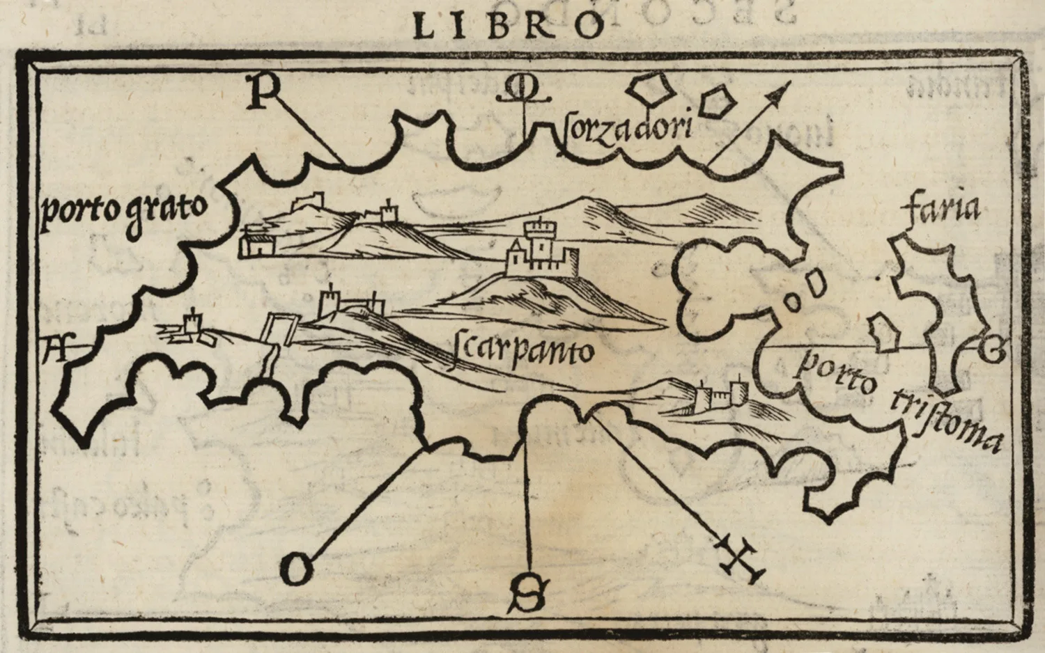
Map: Benedetto Bordone, 1547 (Public domain) · Wikimedia Commons
⚖️ Is it worth it? The pros and cons
Karpathos is not an island for those who want nightlife and easy access. It is an island for the sea, the mountains and tradition. Here is an honest picture.
📊 At a glance, from 1 to 5
👍 The pros
- Beaches with water like a swimming pool, such as Apella.
- Olympos, a village like no other.
- Wild mountains and hiking.
- One of the best places in Europe for windsurfing.
- Quiet, without mass tourism.
👎 The cons
- Far away, the ferry is a very long trip.
- Very windy, especially in summer.
- The road to the north is very winding.
- You need a car.
- Little nightlife.
⚓ Pigadia and the villages
Pigadia, also called Karpathos, is the capital, a small town around a harbour, with tavernas, cafés and Vronti sandy beach next to it. Boats leave from here for the beaches on the east coast and for Diafani.
High in the mountains are the mountain villages: Menetes, with views over the bay, Aperi, the old capital with its mansions, and Othos, one of the highest villages on the island. In the west, Mesochori hangs above the sea, and Finiki is a fishing village with tavernas by its little harbour.
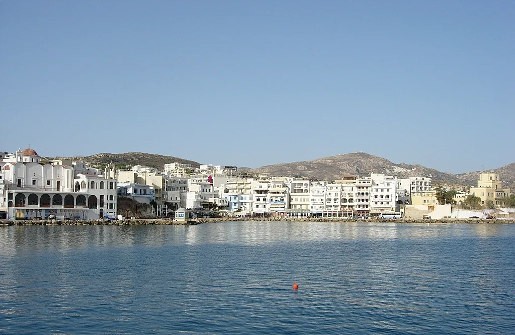
The capital and the harbour.
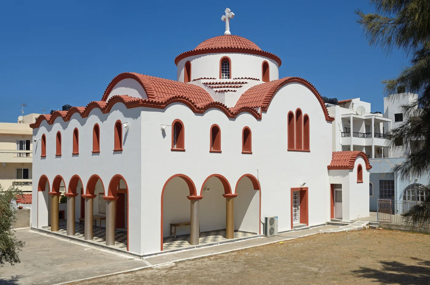
White walls and red domes.
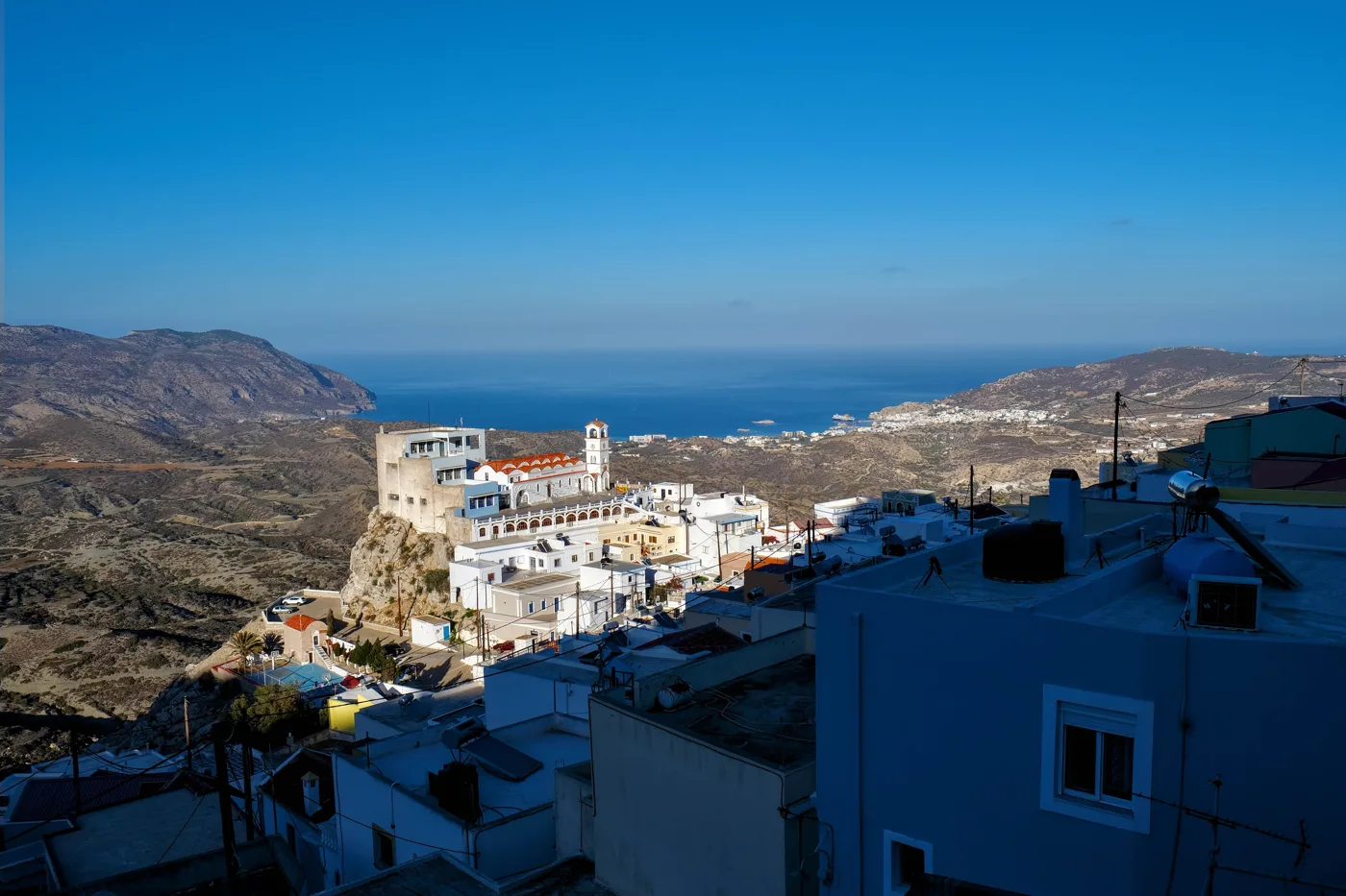
A mountain village with views of the bay.
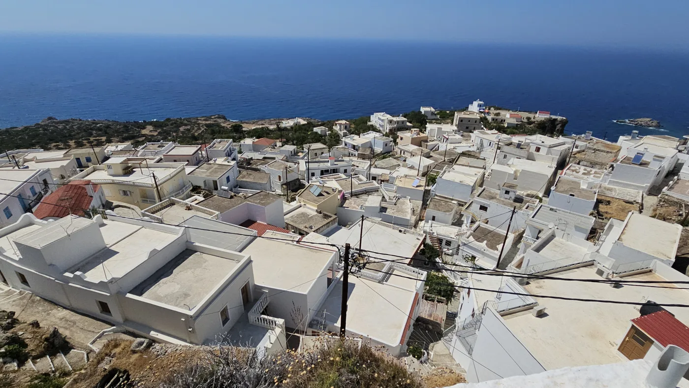
A hillside village above the west coast.
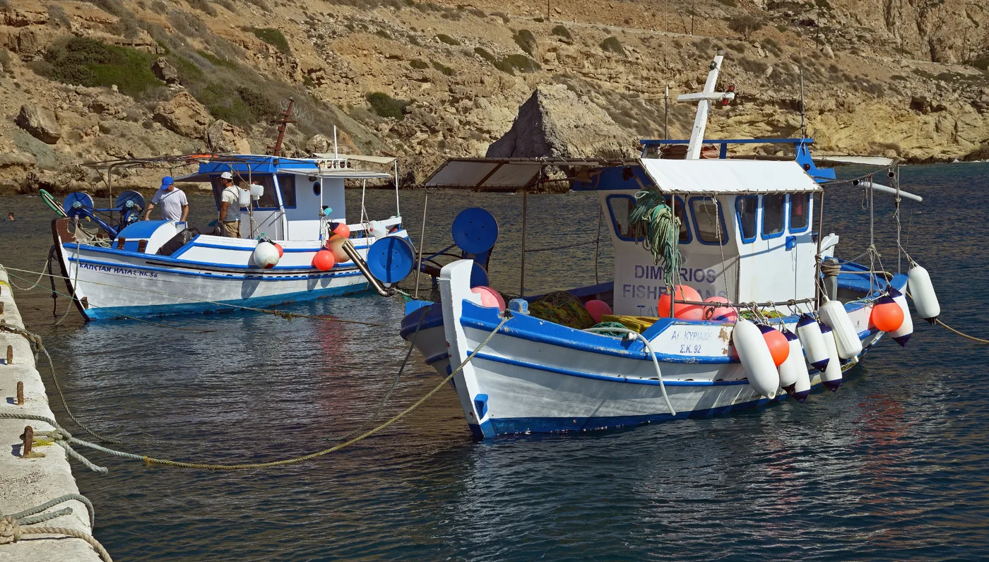
A fishing village with tavernas.
Photos: Juhani Komulainen (Public domain), Vvlasenko (CC BY-SA 3.0), Magnus.chronicles (CC BY 4.0), PLAKLE (CC BY-SA 4.0) · Wikimedia Commons
From Pigadia, boats leave every morning for Apella, Kyra Panagia and Diafani. It is the most relaxing way to see the beaches of the east coast.
🏔️ Olympos and the north
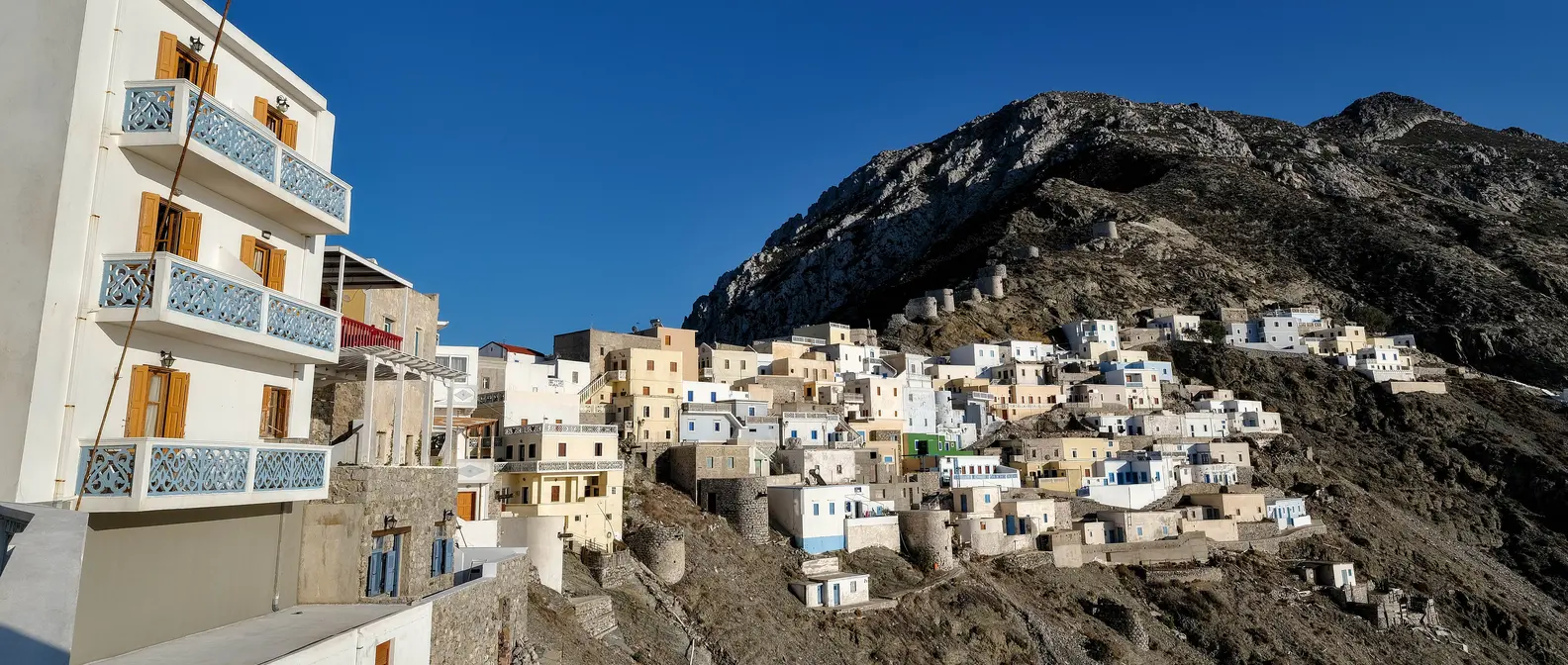
Olympos is built on a ridge in the north, with colourful houses and old windmills. For centuries it was almost cut off, and that is why it kept its customs: many older women still wear traditional dress, bake in wood-fired ovens, and the local dialect has words from very old Greek. At festivals, such as Easter and 15 August, there are celebrations with the lyra and songs.
Below Olympos, Diafani is its little harbour, a quiet fishing village. From here boats go to Saria, an uninhabited islet at the northern tip, with clear water and the ruins of an old settlement.
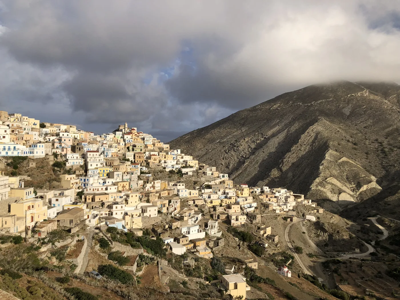
A village that kept its customs.
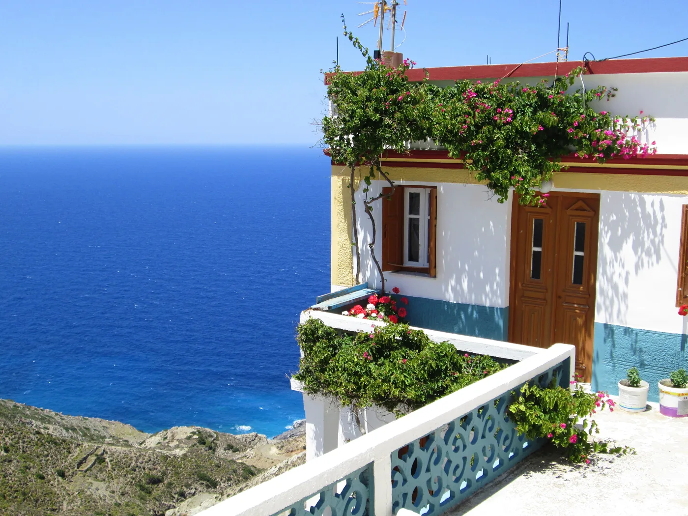
Above the Aegean.
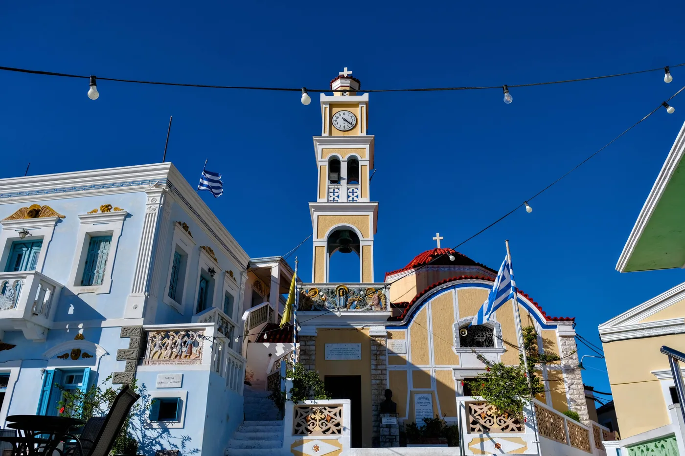
The heart of the village.
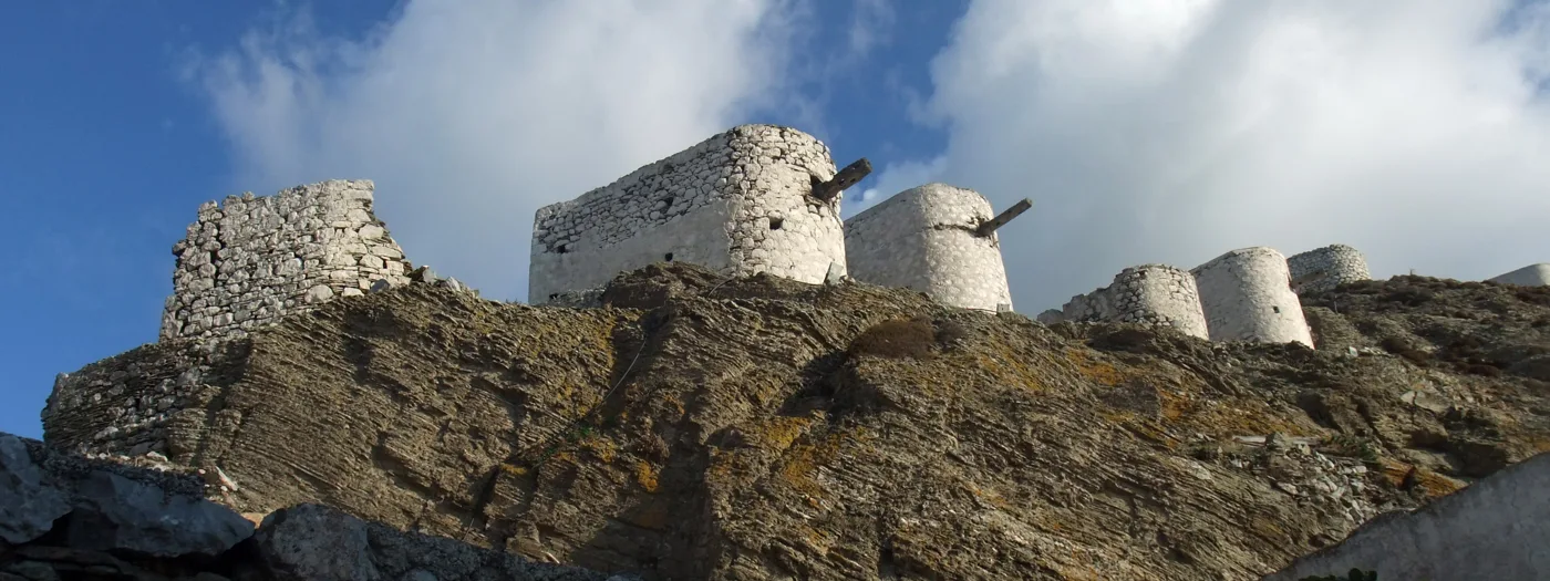
On the ridge above the village.
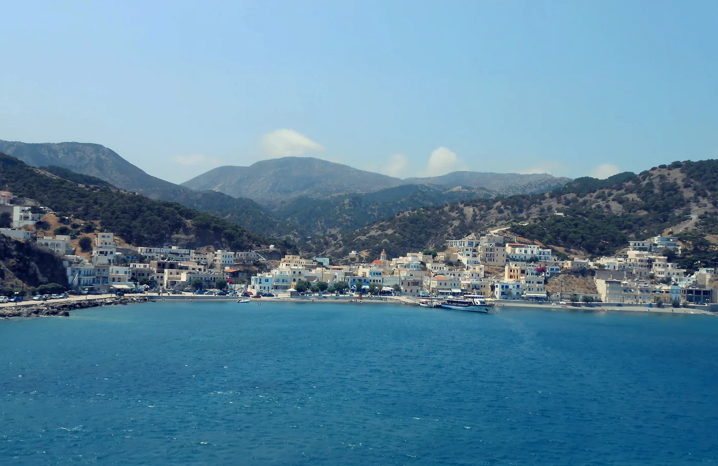
The harbour of Olympos.
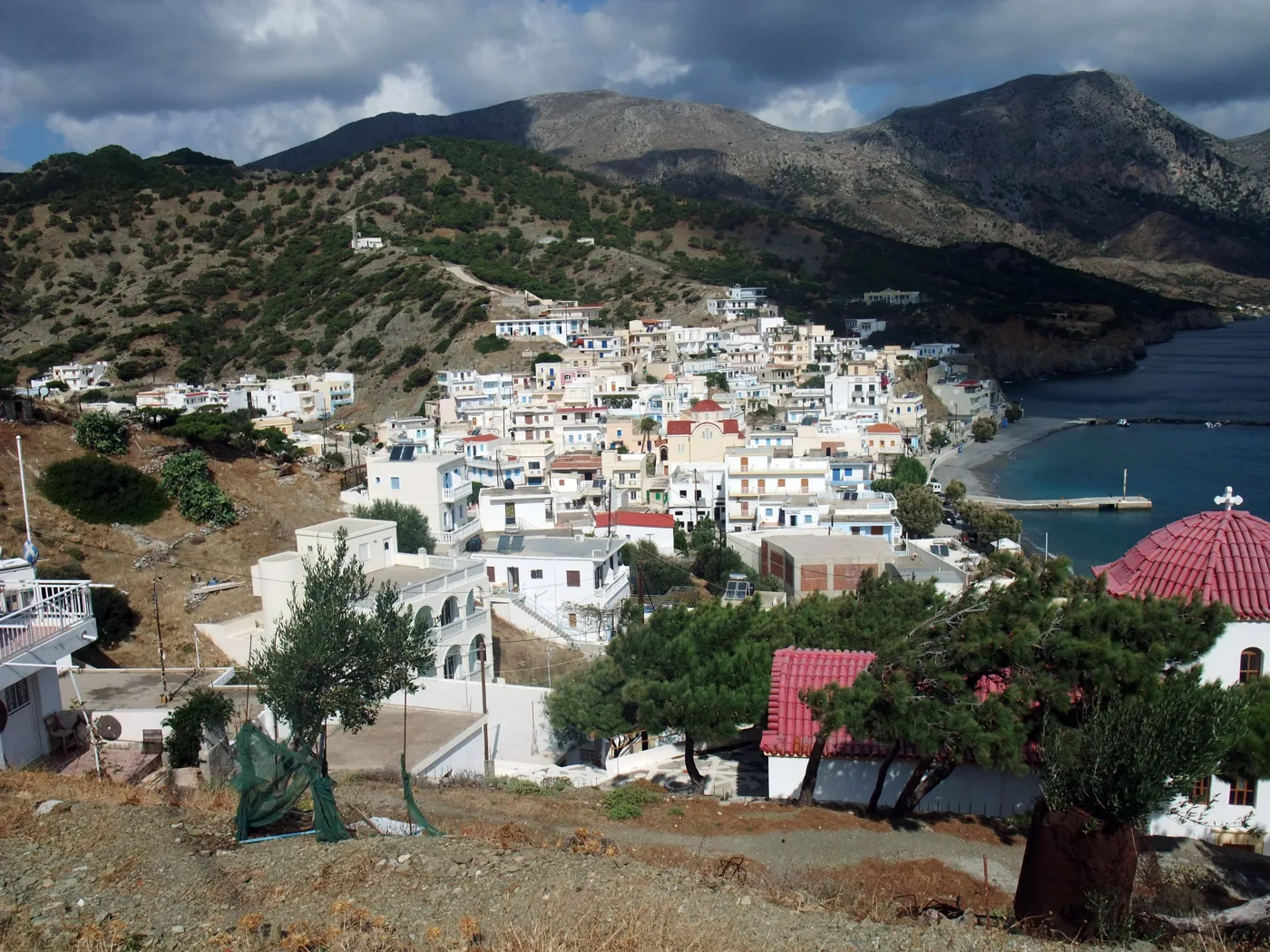
A fishing hamlet on the north coast.
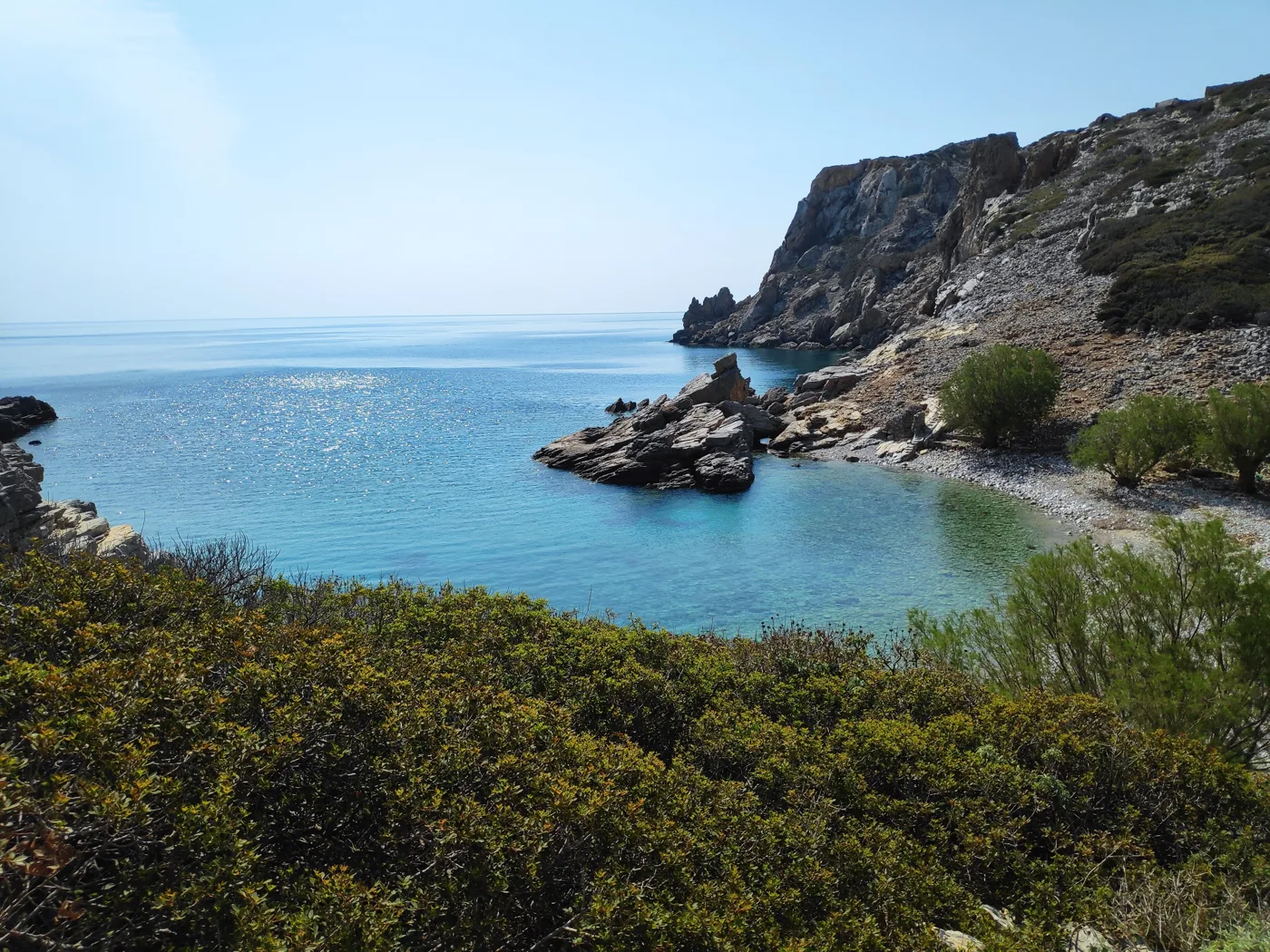
The uninhabited islet in the north.
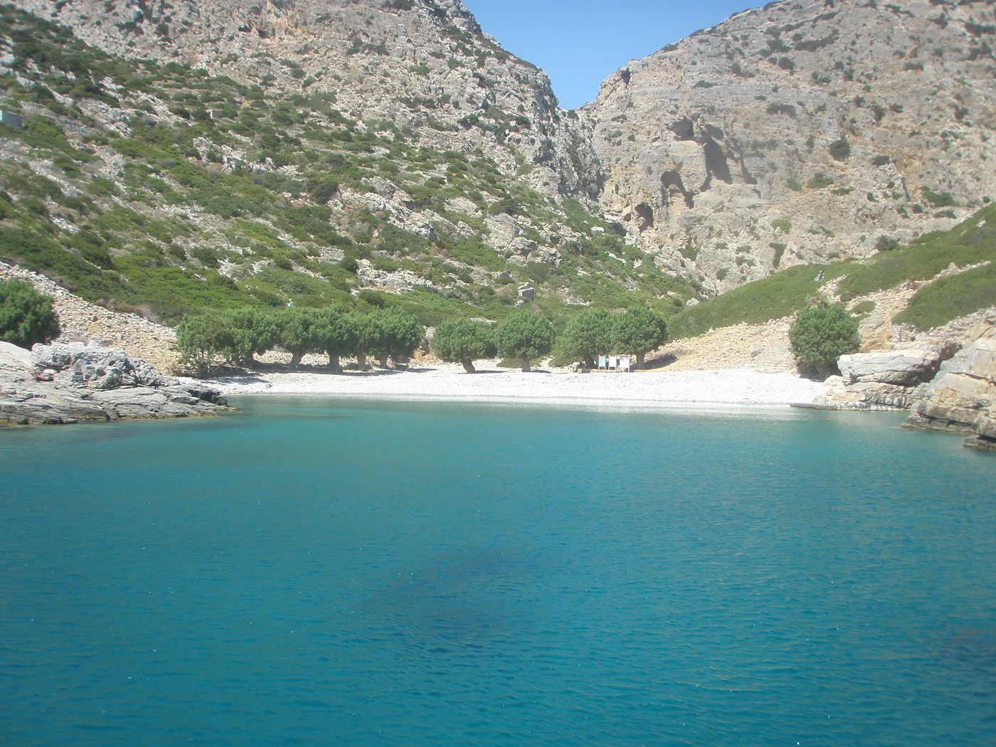
Boats from Diafani.
Photos: Luca Aless (CC0), Andrewthefourth (CC BY-SA 4.0), Magnus.chronicles (CC BY 4.0), Maesi64 (CC BY 3.0), Enpatrais (CC BY-SA 4.0), DiDelv (CC BY-SA 4.0), AlexandraMas94 (CC BY-SA 4.0) · Wikimedia Commons
🏖️ The beaches
The beaches of Karpathos are the reason many people come. On the east coast, Apella has pebbles and water like a swimming pool between pine-covered mountains, Kyra Panagia has turquoise water below high rocks, and Achata is a small cove with a white rock. On the west coast, Lefkos has sandy beaches and Arkasa looks out to Kasos.
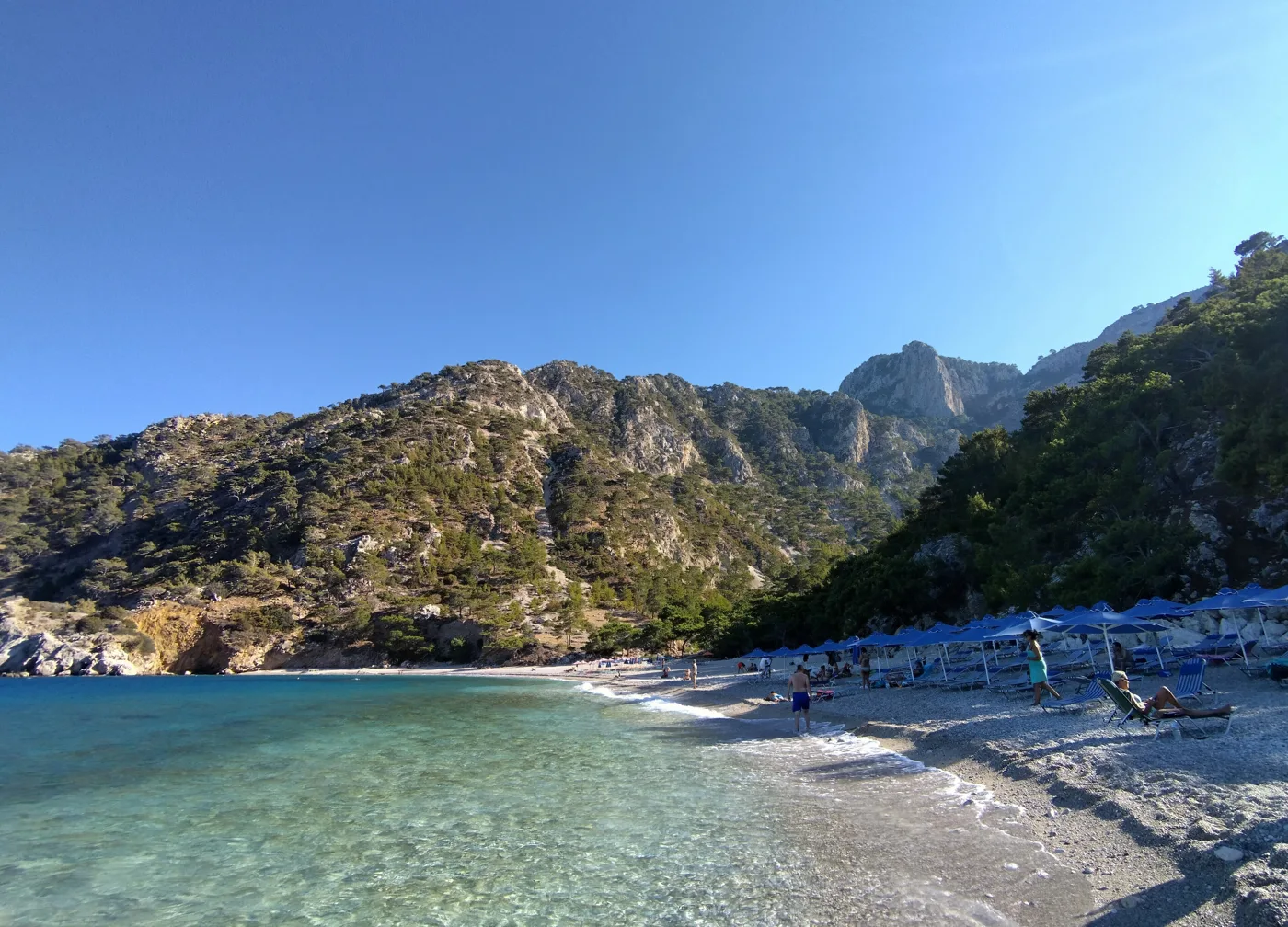
One of the most beautiful beaches in Greece.
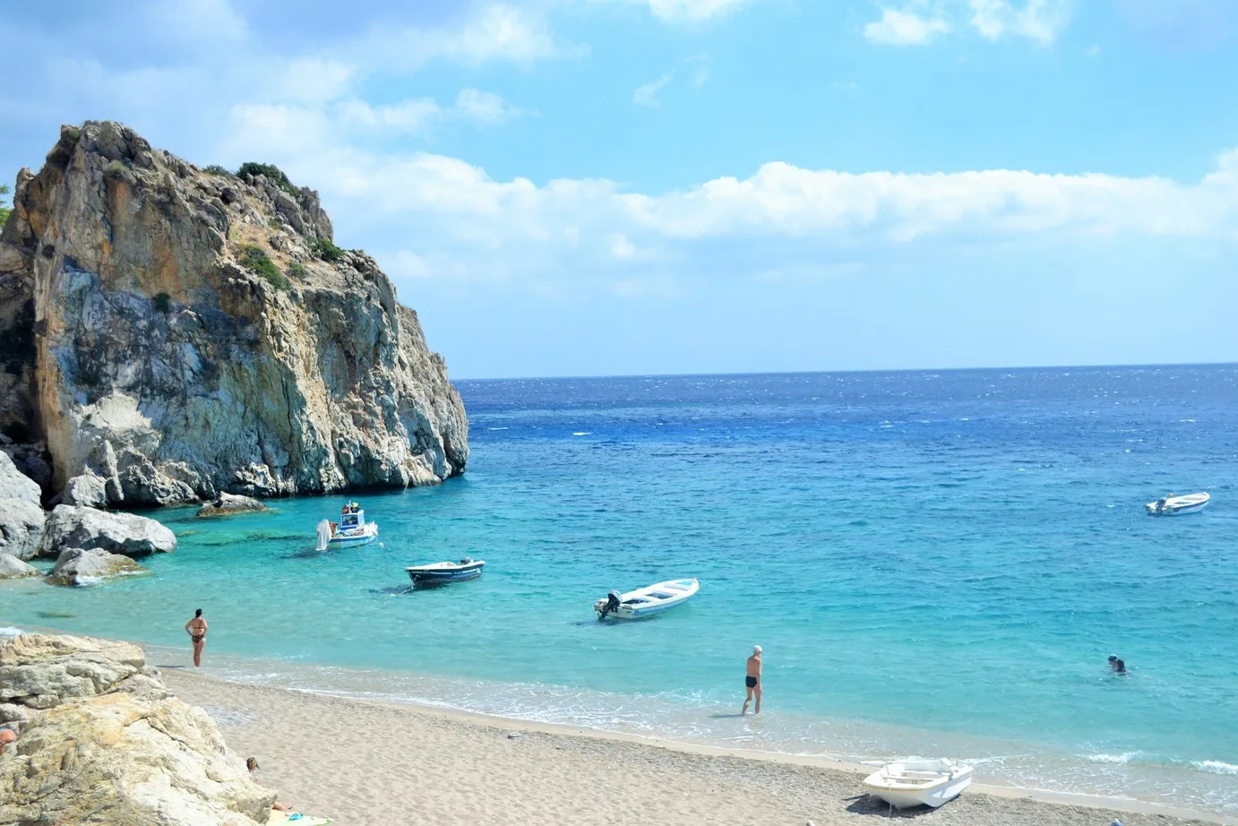
Turquoise water below rocks.
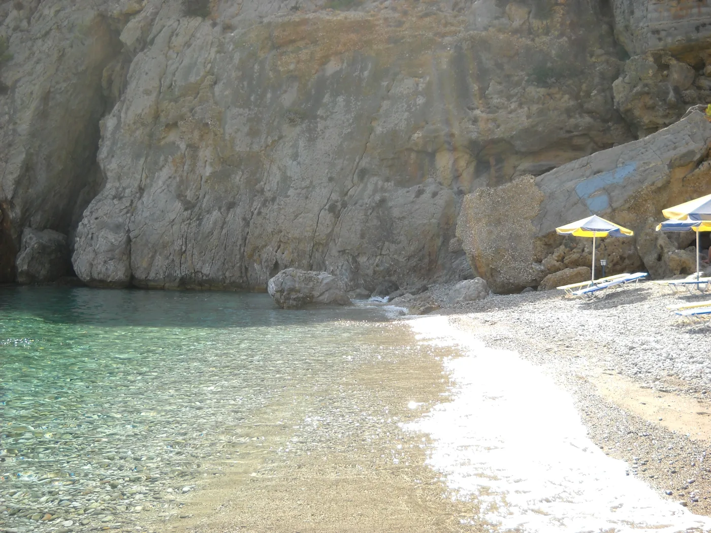
Pebbles and clear water.
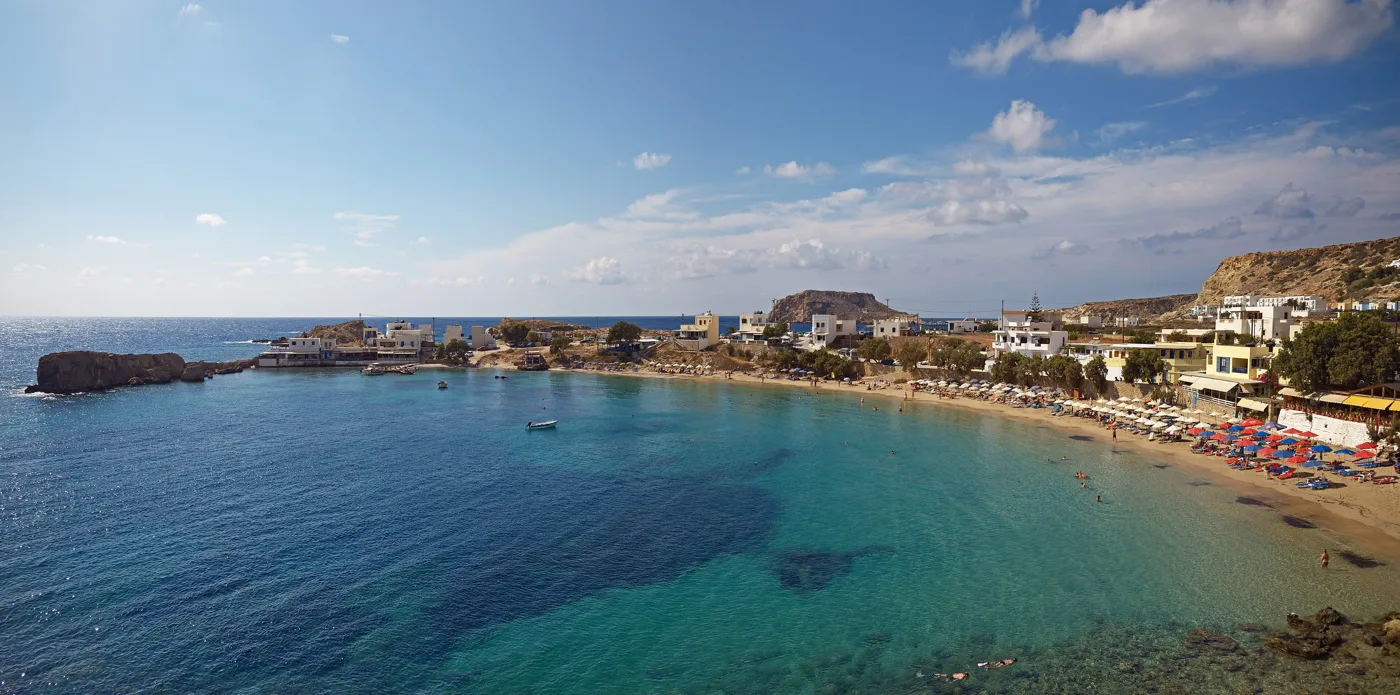
Sandy beaches on the west coast.
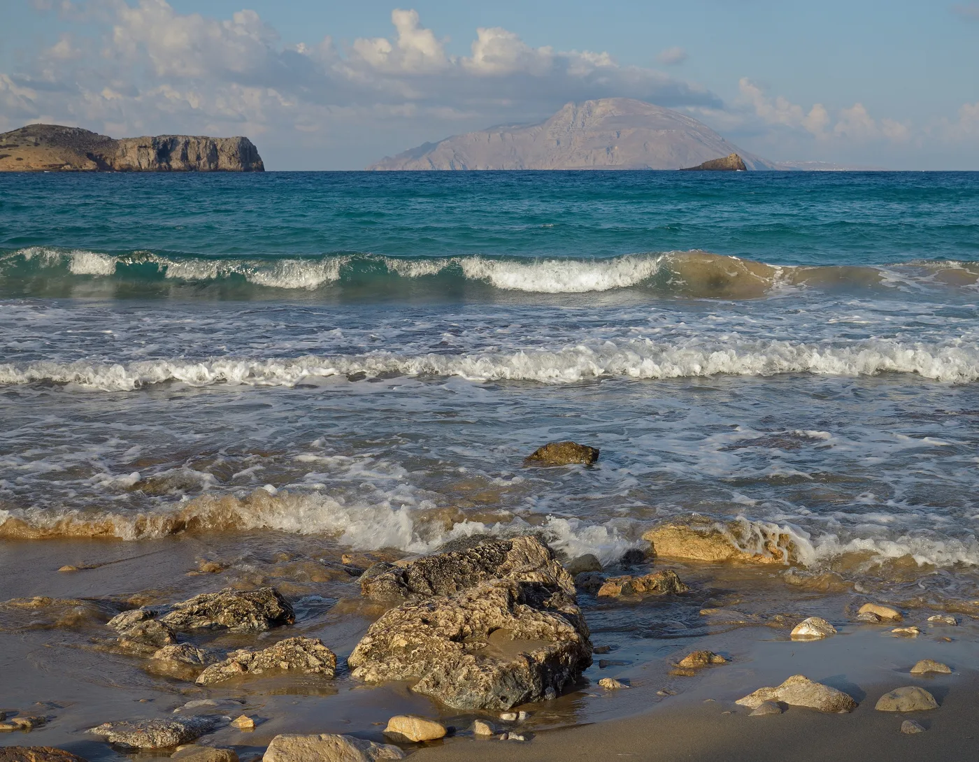
With Kasos opposite.
Photos: Tomisti (CC BY-SA 4.0), Moxmarco (CC BY-SA 4.0), pastitio (CC BY 2.0), Vvlasenko (CC BY-SA 3.0) · Wikimedia Commons
- Apella: pebbles and crystal-clear water among pine trees.
- Kyra Panagia: turquoise water and tall rocks.
- Achata: a small pebble cove.
- Lefkos: sandy beaches in a pretty bay in the west.
- Arkasa: beaches with a view of Kasos.
- Afiartis: shallow water and strong wind for windsurfing.
In the south, near the airport, the bay of Afiartis has windsurfing and kitesurfing schools, because in summer the wind blows almost every day. If you only want to swim, choose the sheltered beaches in the east.
🍽️ What to eat
Try makarounes, handmade pasta with fried onions and local cheese, Olympos bread from the wood-fired oven, and fresh fish in Finiki and Diafani. In the villages you will find goat meat, local cheeses and honey.
📅 When to go
The best time is May, June and September: warm sea, less wind and green mountains in spring. In July and August it is very windy, which windsurfers love. For the festivals of Olympos, go at Easter or in August.
✈️ How to get there from Athens
| How | Duration | From | Notes |
|---|---|---|---|
| Plane | About 1 hour 20 minutes | Athens airport | The fastest way. There are also flights from Rhodes. |
| Ferry | About 18–20 hours | Piraeus | A very long trip, with stops at other islands. |
From Ioulianou 50, take Line 1 to Monastiraki and change to Line 3 for the airport. On the island you need a car, because buses are few. To compare ferry and plane, see our guide to ferry or plane.
🗓️ Four days on Karpathos
Pigadia and the villages
A walk around Pigadia and a drive up to Menetes, Aperi and Othos. Sunset and fish in Finiki.
The beaches of the east
Morning at Achata or Kyra Panagia and afternoon at Apella, one of the most beautiful beaches in Greece.
Olympos
By road or boat to Diafani and up to Olympos. A meal in the village and back in the afternoon.
The sunset
Mesochori and the sandy beaches of Lefkos, and on the way back Arkasa with its view of Kasos.
Frequently asked questions
Where should I stay on Karpathos?
In Pigadia, for the boats, restaurants and buses. In Lefkos or Arkasa, for quiet and a sandy beach. If you want to experience Olympos, spend a night in the village or in Diafani.
Do I need a car?
Yes, to see the villages and beaches. For Olympos, if you don't want to drive the bends, take the boat to Diafani and then the bus.
Can I go to Kasos?
Yes. Kasos is just opposite, with ferries and small planes. It is even quieter and good for a day trip.
How many days do I need?
Four to five days for Pigadia, the eastern beaches, Olympos and the west. For hiking and windsurfing, a week.
— Kathy