🪪 The island at a glance
📍 Where it is
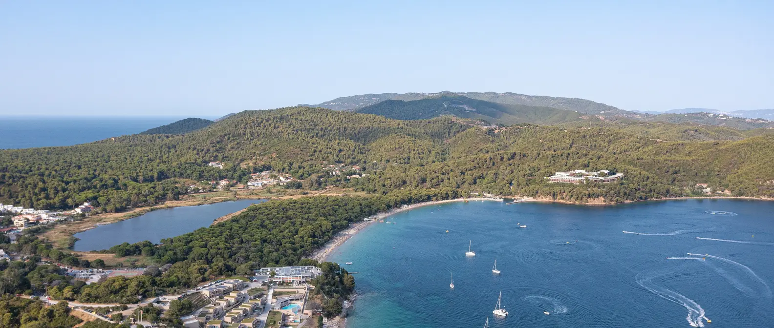
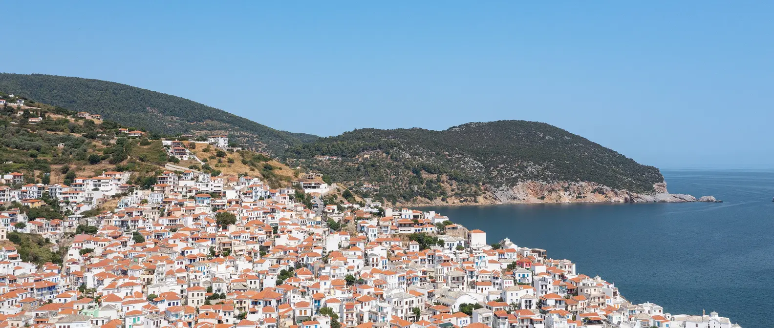
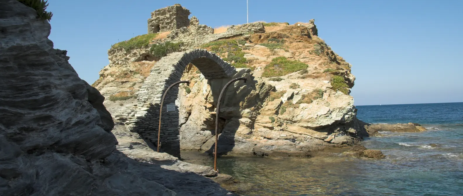
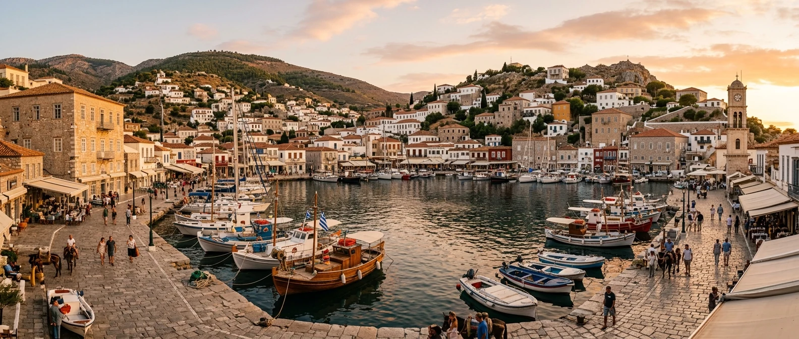
Evia is the second largest island in Greece after Crete, and stretches along Attica and Boeotia. At Chalkida, the mainland and the island are just forty metres apart, and two bridges join them. From Athens you reach Chalkida in about an hour by car or train, and the farthest parts by ferry from Rafina, Oropos or Arkitsa.
📍 Where Evia is
Evia is the long island stretching along Attica and Boeotia, so close to the mainland that at Chalkida only 40 metres of sea separate them. The island is shown in red, and Athens and the ports of Rafina and Oropos in green.
🗺️ The map of the island
Evia is long and narrow, about a hundred and seventy kilometres from one end to the other, and it divides into three very different parts. Central Evia, around Chalkida and Eretria, is the closest, with Mount Dirfys in the middle and the Aegean coast behind it. Northern Evia has the forests, the seaside villages of the Evian Gulf and the thermal baths. Southern Evia, around Karystos, is dry and rocky, with wind and hidden beaches. From Chalkida to Aidipsos it takes about two and a half hours by car, and about the same to Karystos.
🗺️ Map of Evia
Evia is about 170 kilometres long. Chalkida and Eretria are in the middle, on the side facing Attica. The north has the forests, Limni, Loutra Aidipsou and the Lichadonisia. In the centre are Dirfys, Steni, Chiliadou and Kymi, on the Aegean coast. The south, around Karystos, has Mount Ochi, the Dragon Houses and Dimosari. Tap each number to see what it is.
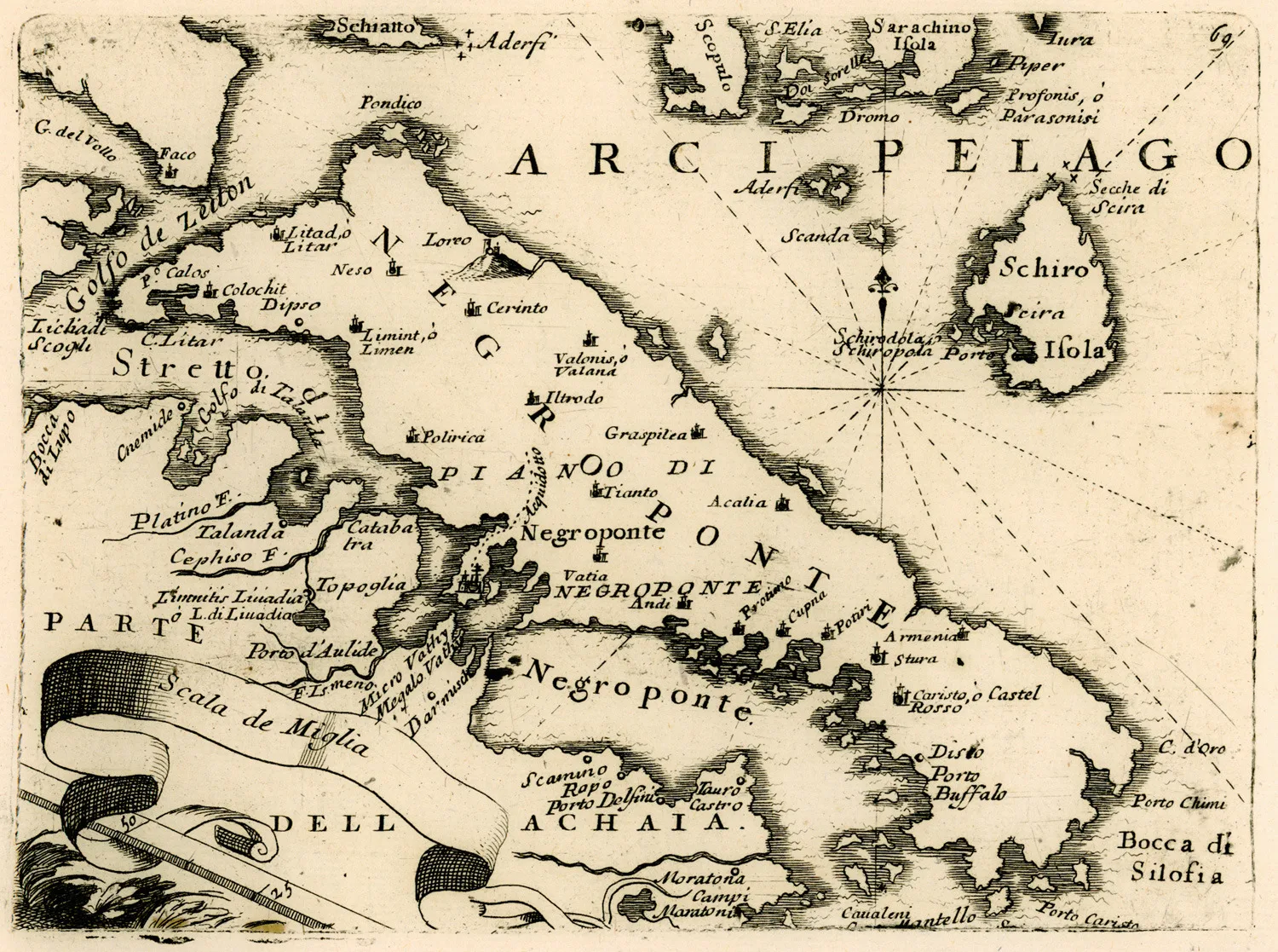
Map: Vincenzo Coronelli, 1688 (Public domain) · Wikimedia Commons
⚖️ Is it worth it? The pros and cons
Evia is an island for people who love road trips, nature and long beaches, and are not looking for a Cycladic look. Here is an honest picture.
📊 At a glance, from 1 to 5
👍 The pros
- Very close to Athens, no ferry needed, by car or train.
- Huge variety: mountains, forests, gorges, beaches, hot springs.
- Lower prices than most islands.
- Very little mass tourism, authentic villages.
- Open all year round, even in winter.
👎 The cons
- Very big: you won’t see it in one weekend.
- You need a car, distances are long.
- It doesn’t have the Cycladic look.
- Part of the northern forest burned in 2021.
🌉 Chalkida and the Euripus
Chalkida, the capital, is a lively town on the water, with a long waterfront full of fish tavernas and cafés. It is built on the Euripus, the narrowest point between the island and the mainland, where something rare in the whole world happens: the current changes direction several times a day, sometimes flowing north and sometimes south, so strongly that it looks like a river. Legend says Aristotle died of frustration because he could not explain it.
Over the Euripus is the old sliding bridge, which opens at night to let ships through, and a little further south the high suspension bridge. On the mainland side, above the town, the Ottoman Karababa castle has the best view. In town you will find the Archaeological Museum, the old Kastro quarter with the church of Agia Paraskevi, and in the evening the waterfront full of people.
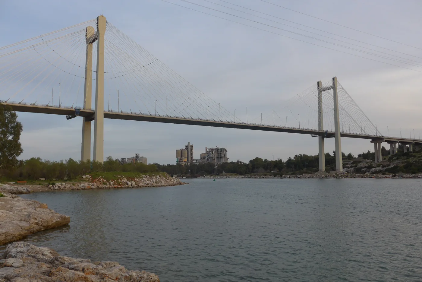
It joins Evia to the mainland.
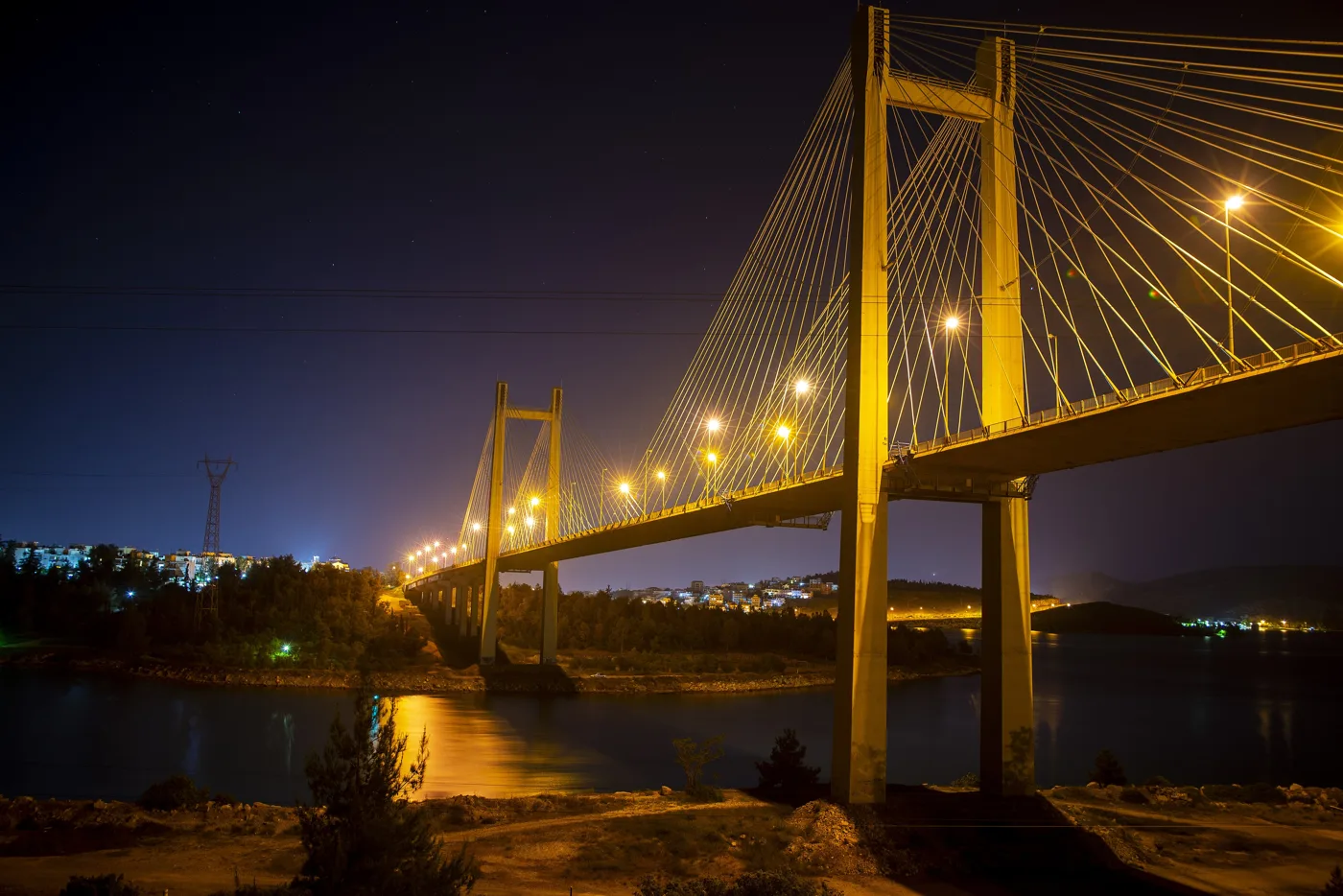
The bridge, lit up.
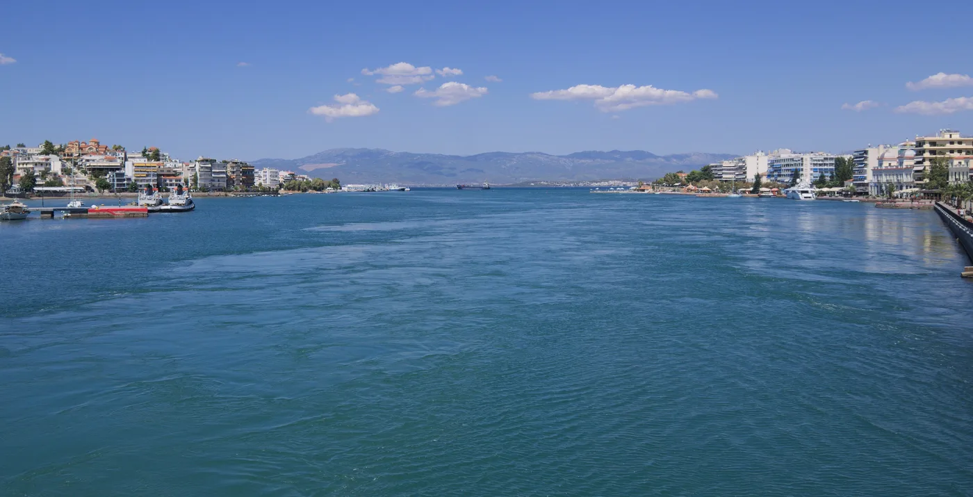
The current that changes direction.
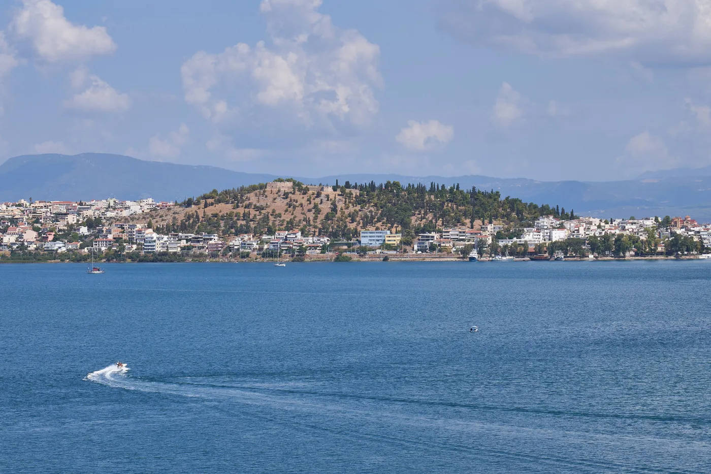
The town and the Karababa castle.
Photos: SucreRouge (CC BY-SA 4.0), CtamiVoya (CC BY-SA 4.0), C messier (CC BY-SA 4.0), George E. Koronaios (CC BY-SA 4.0) · Wikimedia Commons
Stand on the old bridge and look at the water: you will see it flowing like a river. If you stay a few hours, you may see it stop and change direction. The fish tavernas next to it have the best seats.
🏛️ Ancient Eretria
Twenty minutes south of Chalkida, Eretria was one of the most powerful cities of ancient Greece, with colonies all over the Mediterranean. Today it is a seaside resort, and inside the modern town you can see the ruins of the ancient one: the theatre, with an underground passage the actors came out of, the gymnasium, temples, and the House of the Mosaics, with pebble floors from the 4th century BC showing lions, panthers and griffins. The Archaeological Museum has the finds, and nearby, at Amarynthos, the sanctuary of Artemis Amarysia was recently found, after archaeologists had searched for it for over a century.
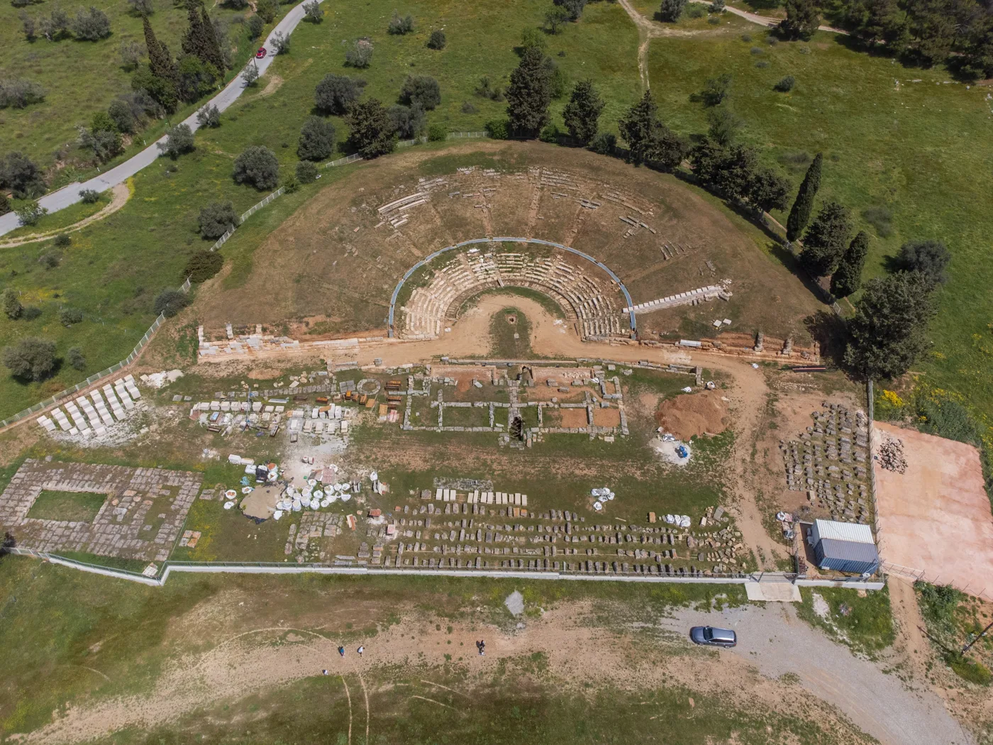
Ancient Eretria from above.
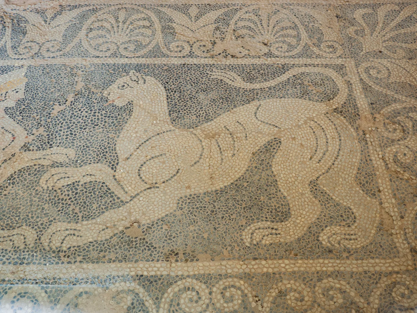
Pebble floors from the 4th century BC.
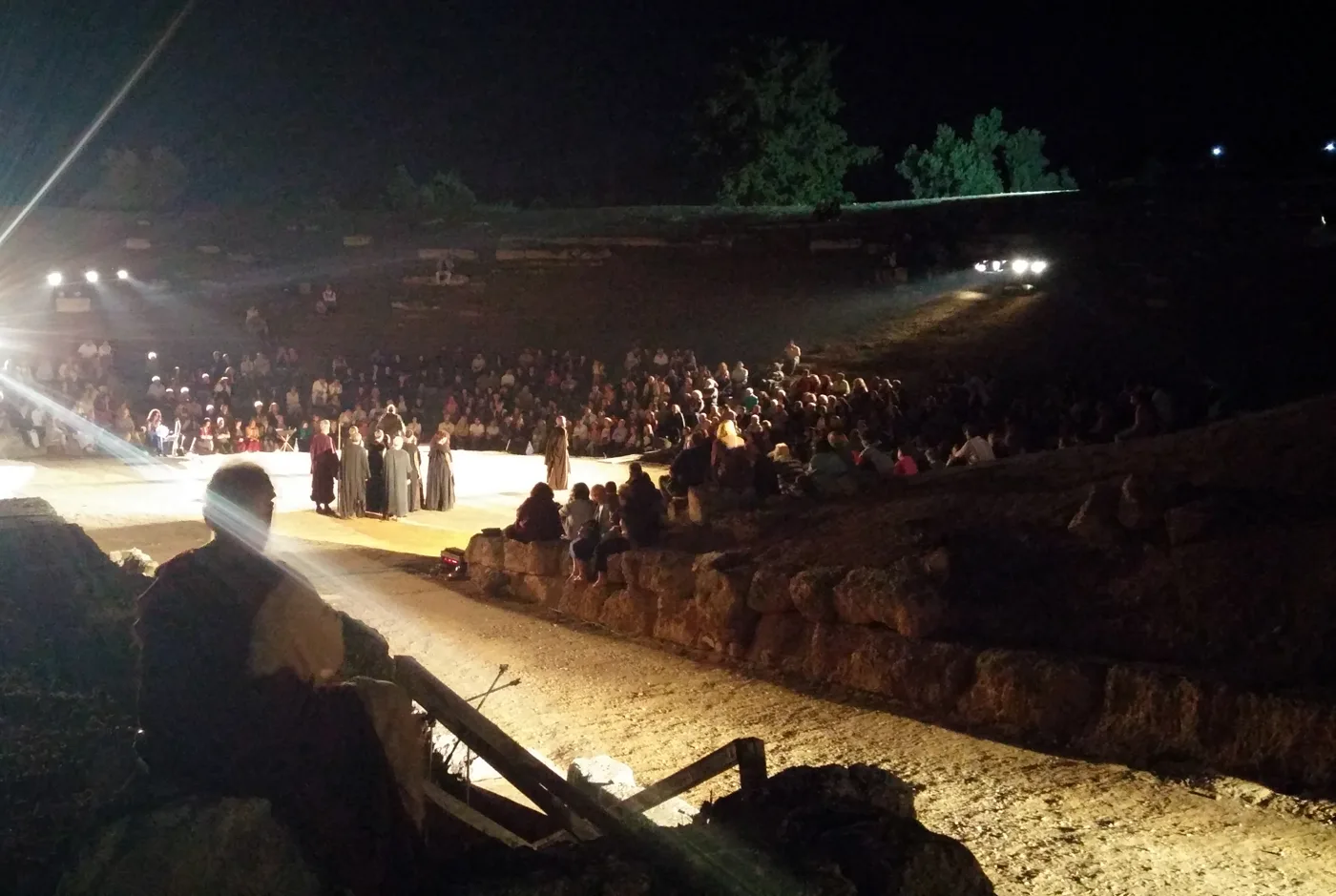
The theatre comes alive in summer.
Photos: C messier (CC BY-SA 4.0), Jolaaaja (CC BY-SA 4.0) · Wikimedia Commons
🌲 Northern Evia: Limni, Loutra Aidipsou, Agia Anna
The road north runs through one of the largest pine forests in Greece. A large part of it burned in the fires of 2021, but nature is turning green again, and the coastal villages are livelier than ever. In Prokopi, the church of Saint John the Russian is one of the biggest pilgrimage sites in Greece, with thousands of visitors in May.
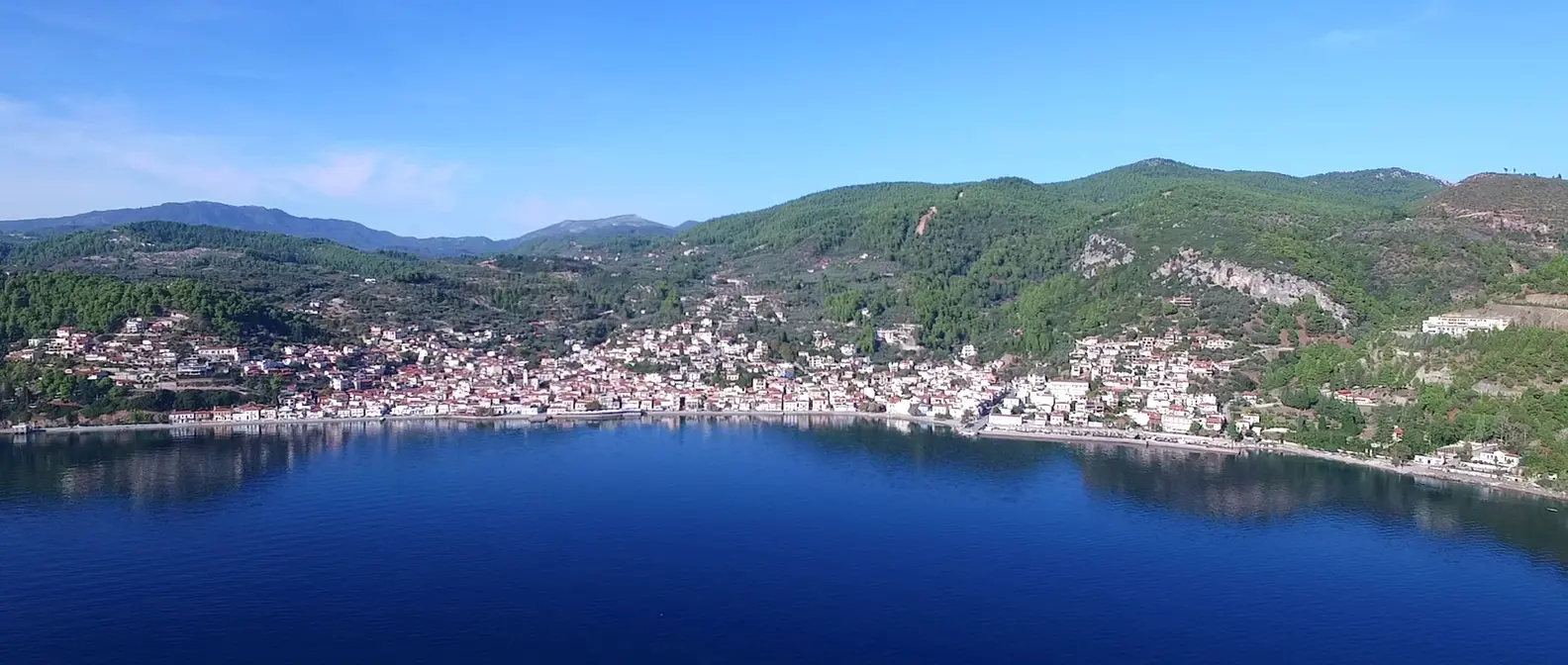
On the coast of the Evian Gulf, Limni is the prettiest village in the north: tiled houses right on the sea, tavernas on the waterfront, water so calm it looks like a lake. Further north, Loutra Aidipsou is the best-known spa town in Greece, with dozens of hot springs known since antiquity. You will find hydrotherapy centres and hotels with spas, but also springs that flow freely into the sea, where you can bathe for free all year round. On the other side, on the Aegean, Agia Anna has one of the longest beaches in Greece, kilometres of pebbles and sand.
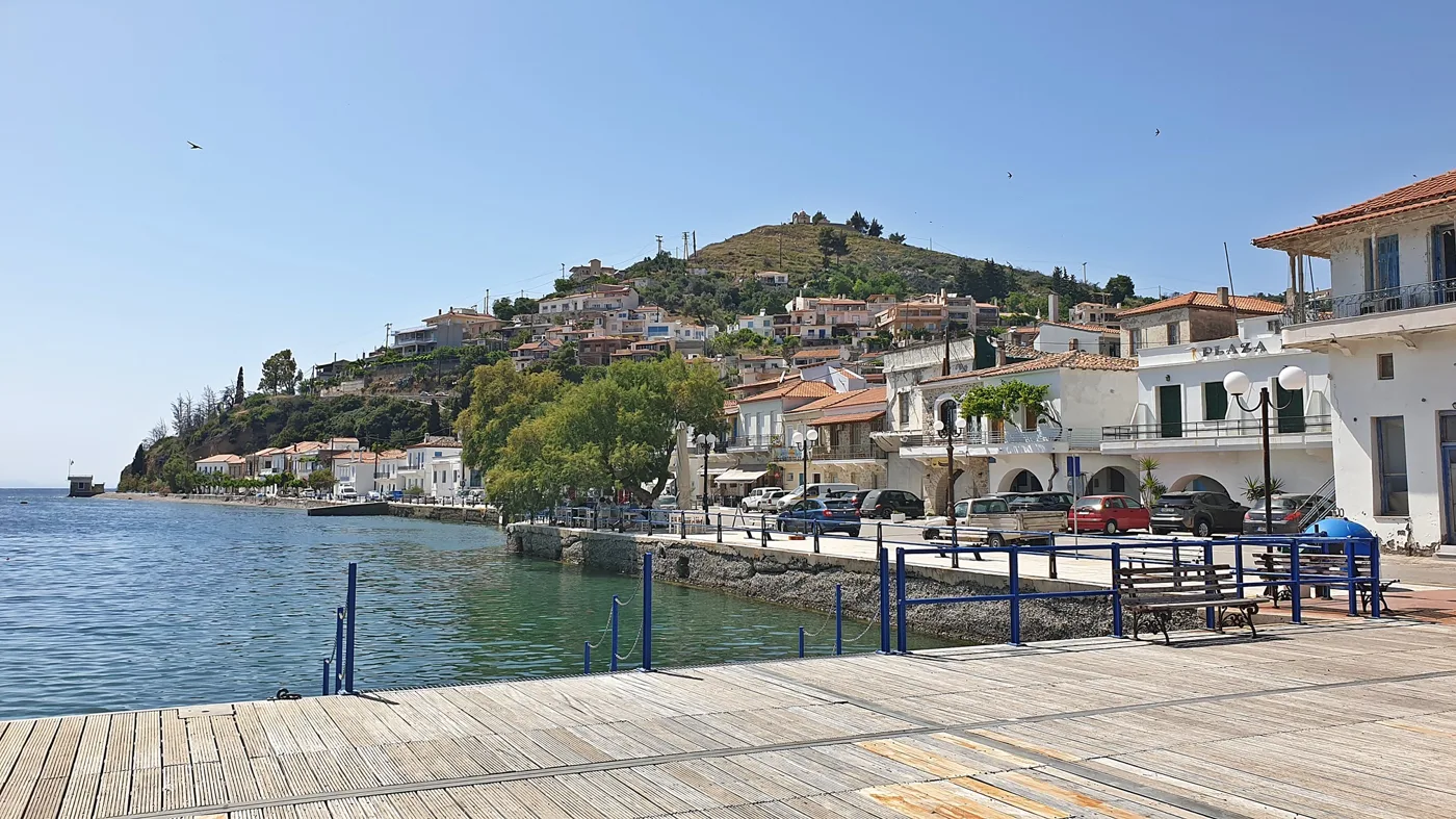
The prettiest village in northern Evia.
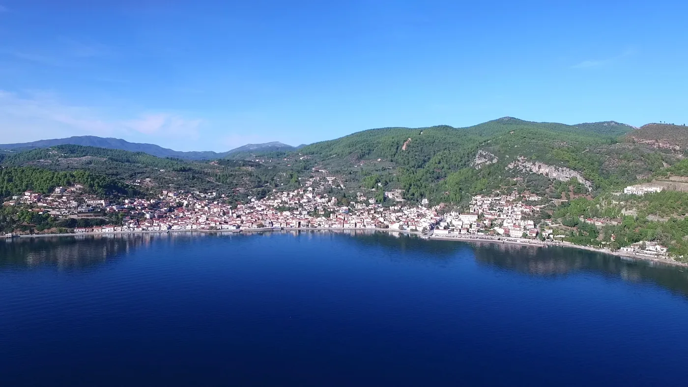
A sea like a lake, hence the name.
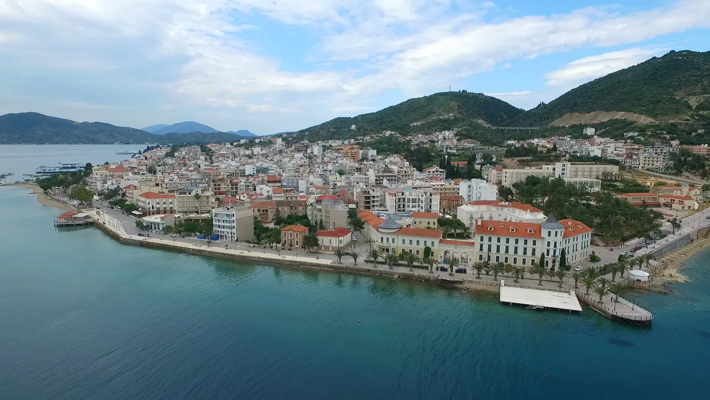
The spa town, right on the sea.
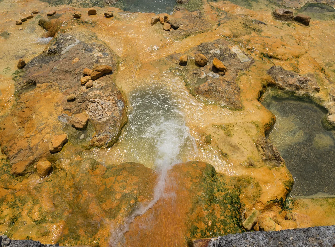
The hot water comes out of the earth.
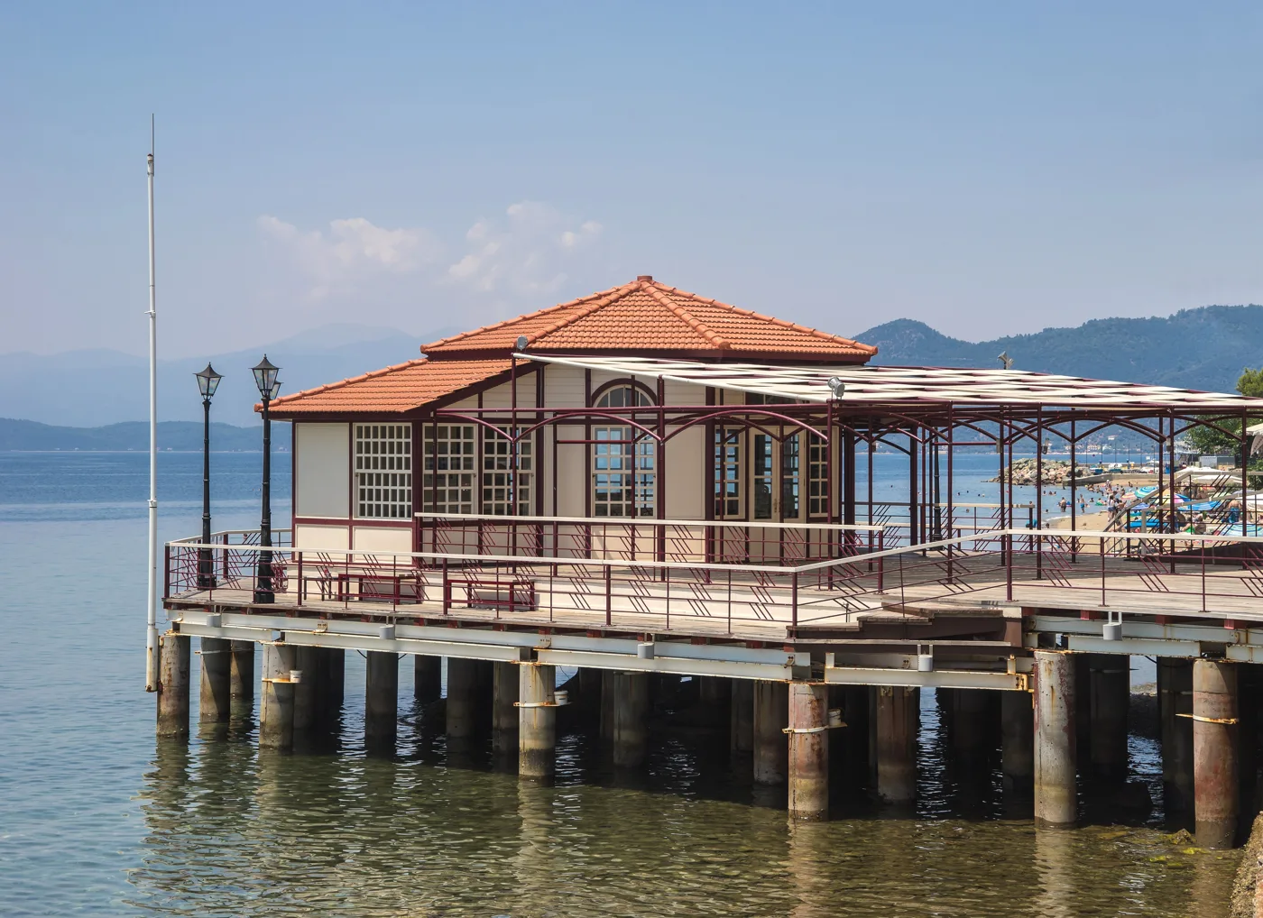
At the end of the waterfront.
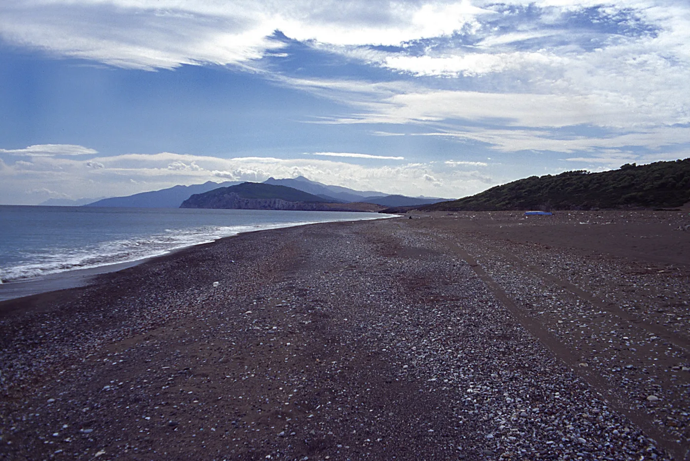
Kilometres of beach on the Aegean.
Photos: Guido-Gilch (CC BY-SA 4.0), Glinard (CC BY-SA 3.0 gr), Glinard (CC BY-SA 4.0), Jebulon (CC0), Falk2 (CC BY-SA 4.0) · Wikimedia Commons
On the waterfront of Loutra Aidipsou, near the Thermae Sylla hotel, the hot water runs from the rocks into the sea and forms small natural pools. They are free and open all day. In winter, with cold air and warm water, it is the most wonderful experience.
🏝️ The Lichadonisia
At the north-western tip of Evia, opposite Kamena Vourla, the Lichadonisia are a cluster of small volcanic islets with shallow turquoise water and white sand, which many call “the Seychelles of Greece”. According to myth, they were formed when Heracles threw Lichas, his servant, into the sea, because he had brought him the poisoned tunic. In summer, small boats leave from Agios Georgios and Aidipsos and drop you off for a swim at Monolia and the other islets. There are no shops, so take everything you need.
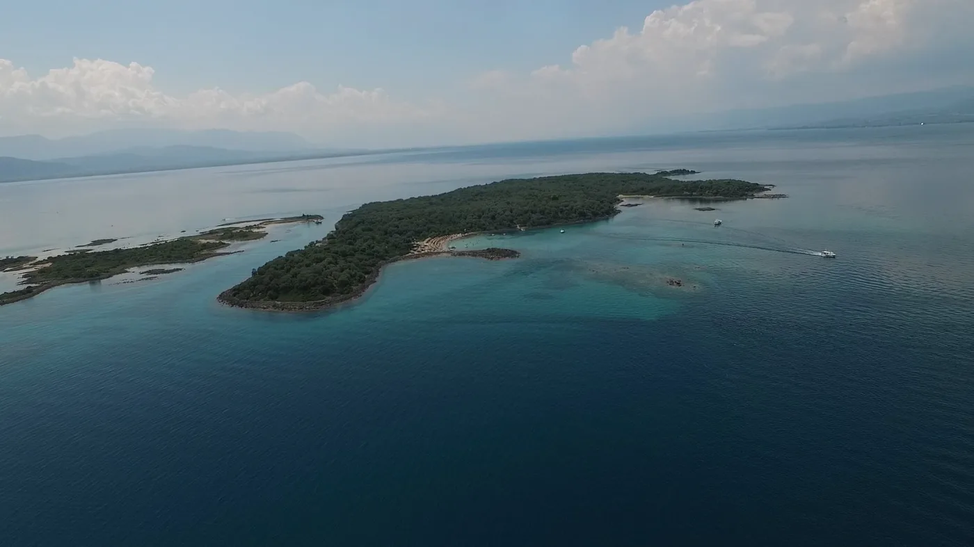
The shallow turquoise water of the Lichadonisia.
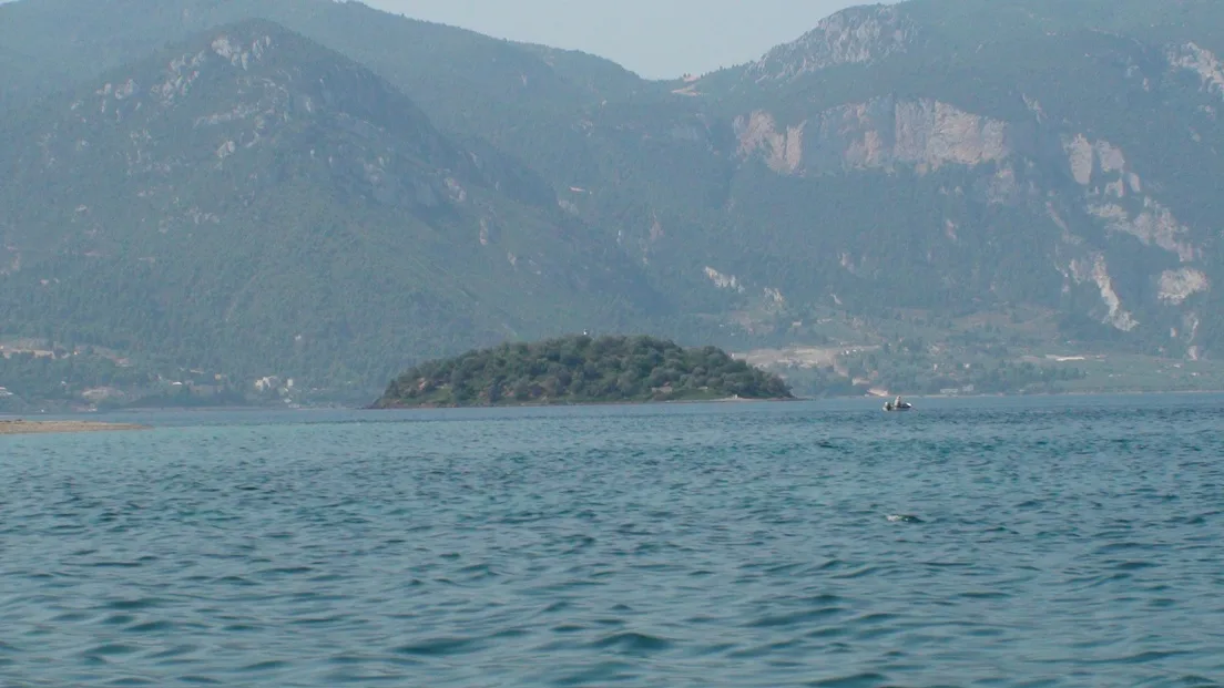
One of the seven islets.
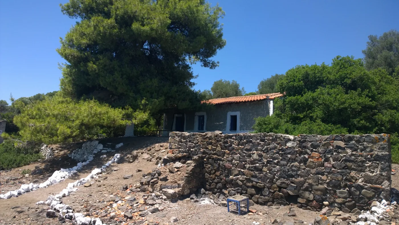
Pine trees and a few old houses.
Photos: Glinard (CC BY-SA 4.0), Agni from Greece (CC BY 2.0), Moravec (CC BY-SA 4.0) · Wikimedia Commons
⛰️ Central Evia: Dirfys, Steni, Chiliadou, Kymi
East of Chalkida, the road climbs to Steni, a village in a forest of chestnut and fir trees at the foot of Dirfys, the highest peak on the island, over 1,700 metres. It is the place for walking in summer, tavernas with grilled meat, and snow in winter. From Steni, a road goes down to the Aegean coast at Chiliadou, a beach with pebbles, clear water and steep mountains behind it, one of the most beautiful on the island.
Further north, Kymi is a small town on a hill overlooking the Aegean, with sea captains’ mansions, a folklore museum and cafés in the square. From its port, Paralia Kymis, ferries leave for Skyros.
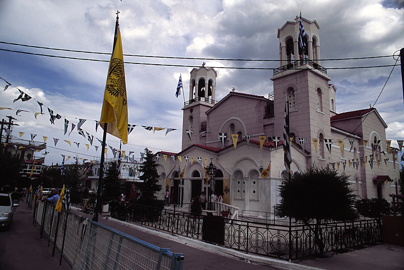
Saint John the Russian.
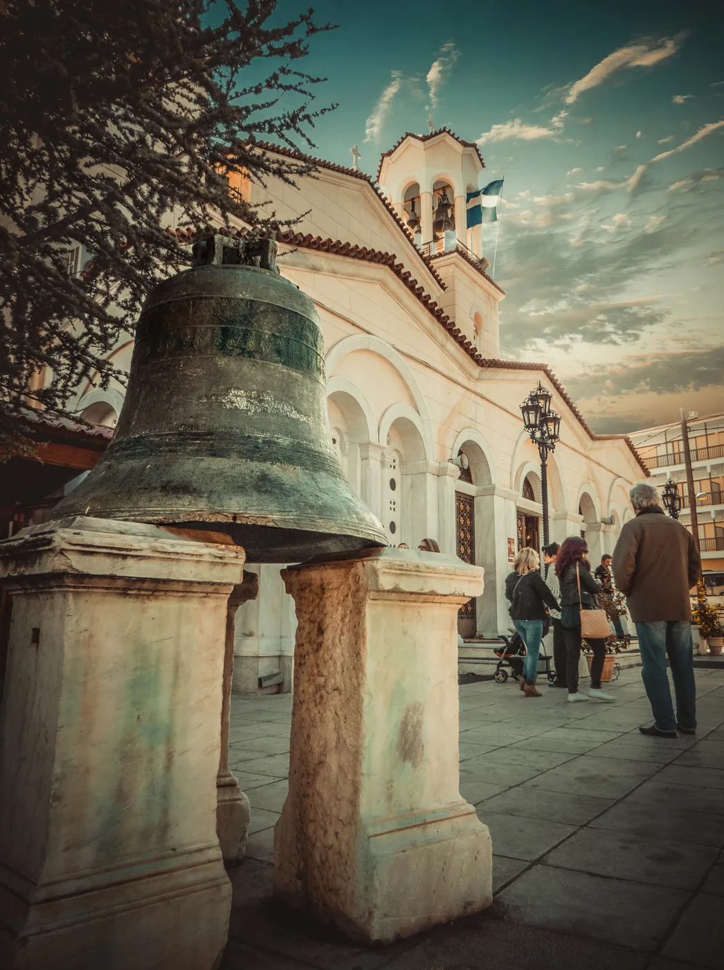
In front of the church.
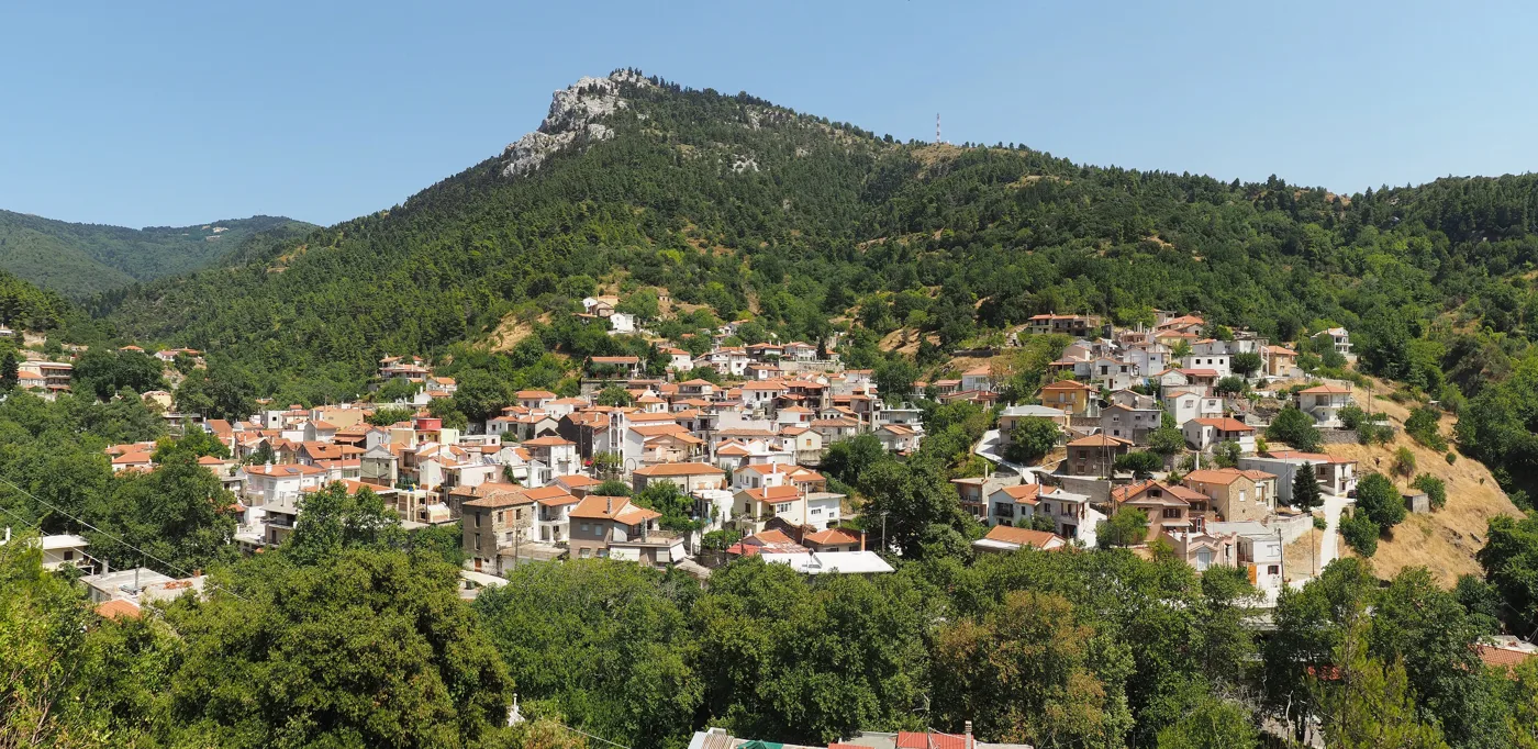
The village at the foot of Dirfys.
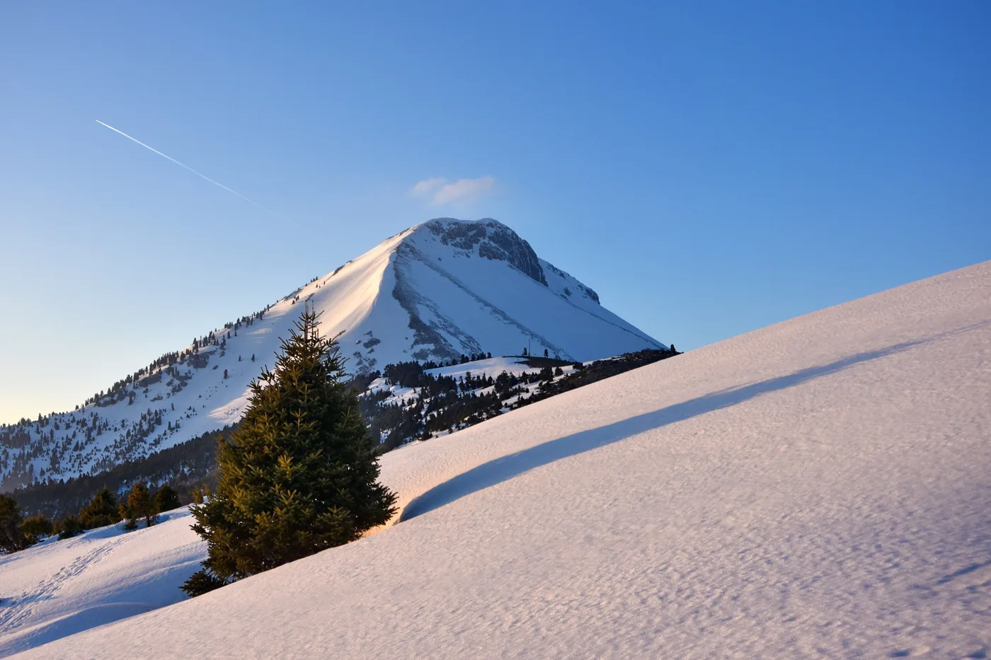
The highest peak in Evia.
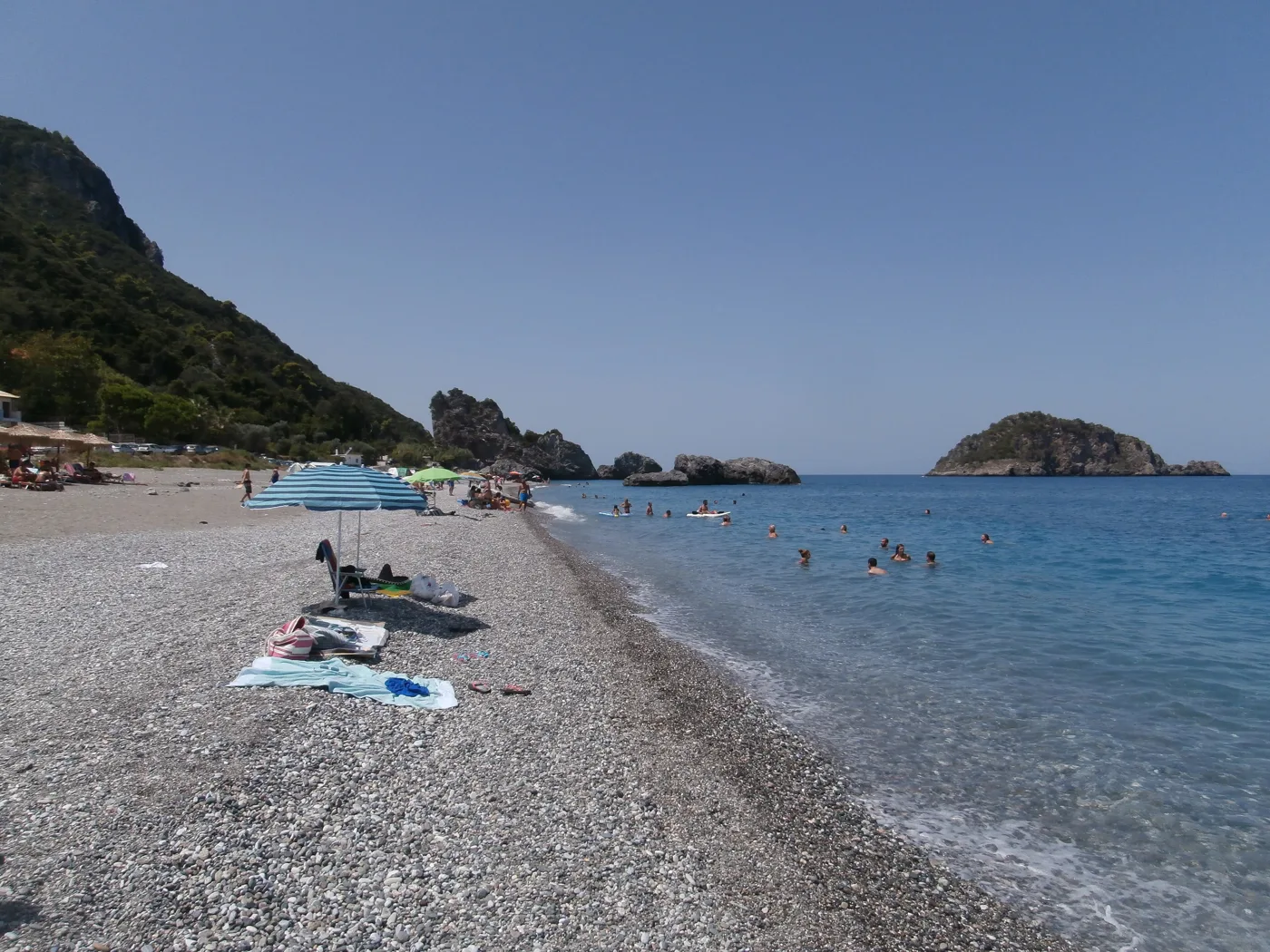
Pebbles and clear water on the Aegean.
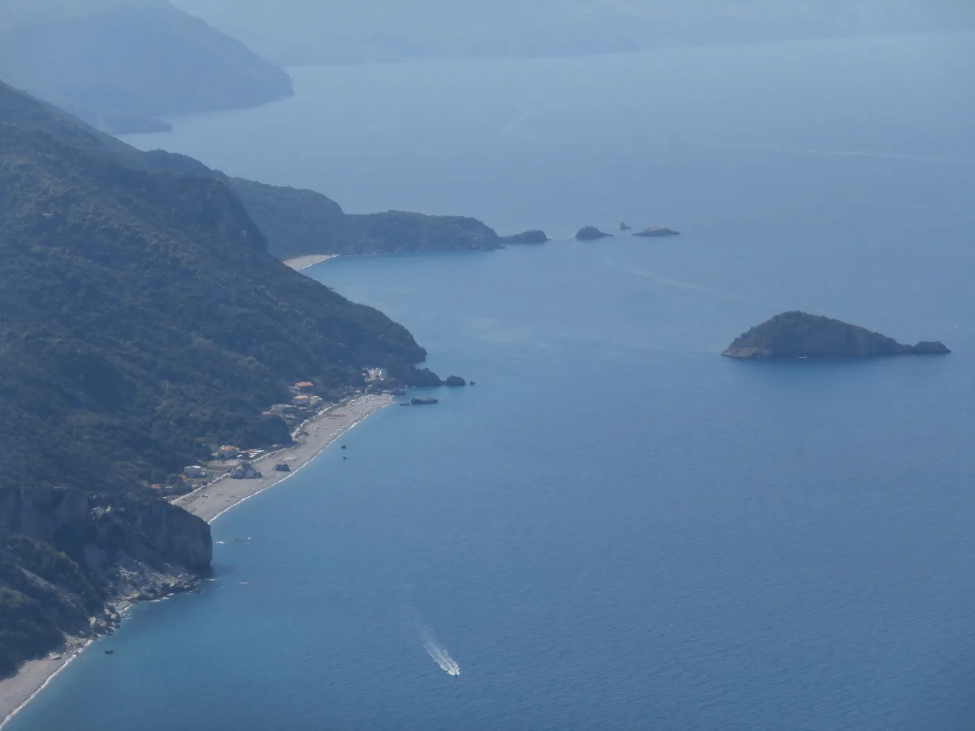
Mountain and sea, together.
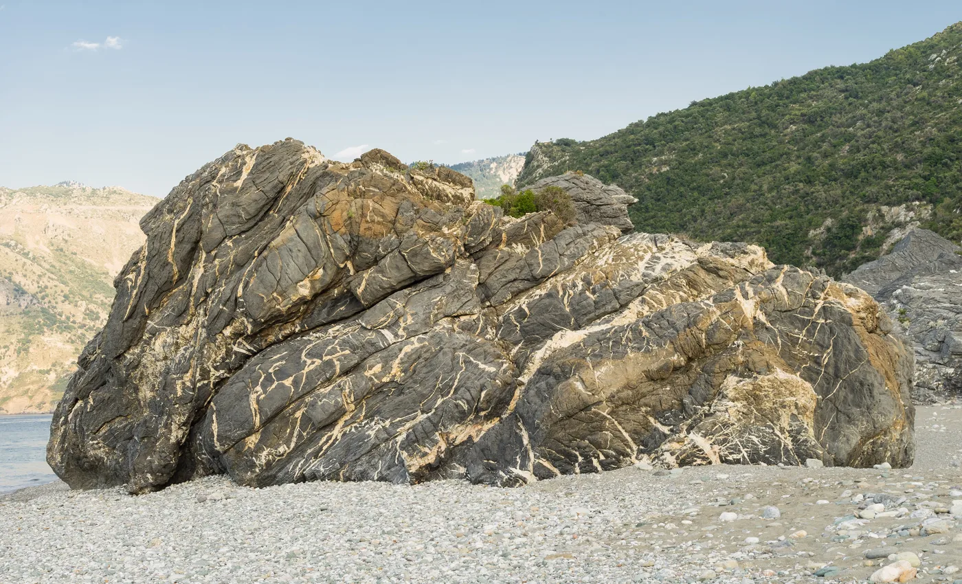
In the middle of the beach.
Photos: Falk2 (CC BY-SA 4.0), Alika Obrazovskaya (CC BY 3.0), C messier (CC BY-SA 4.0), Tasos K (CC BY-SA 4.0), C messier (CC0), Jebulon (CC0) · Wikimedia Commons
🏰 Southern Evia: Karystos, Dragon Houses, Dimosari
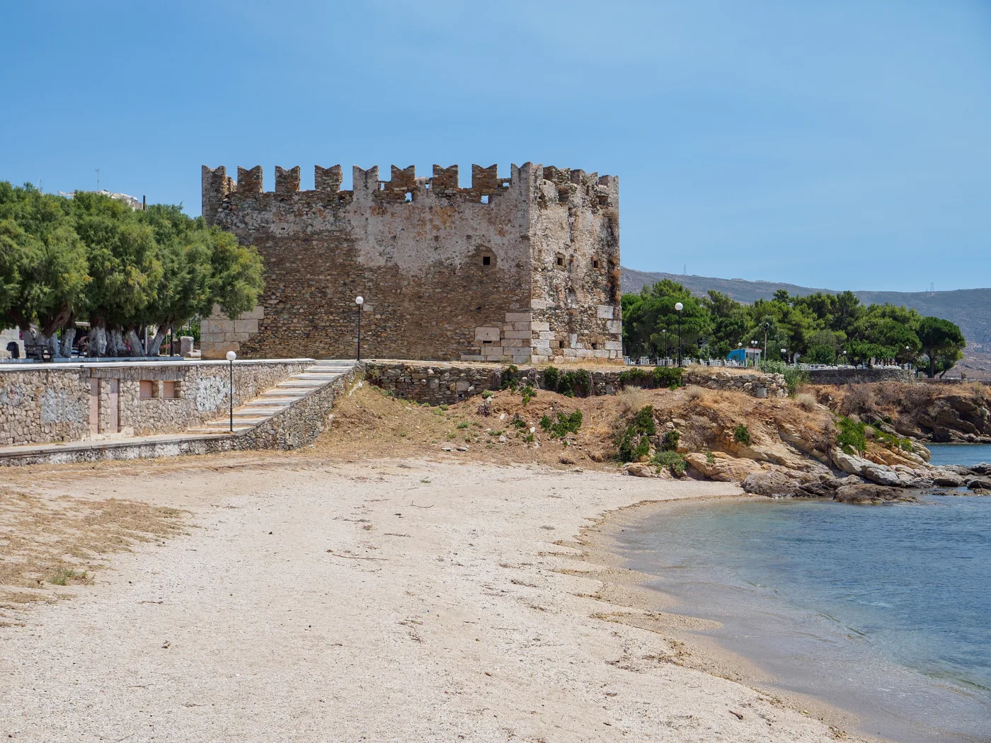
The south is the wildest and most authentic part. Karystos is a neoclassical town on the sea, with a long sandy beach right in town and the Bourtzi, a Venetian tower at the end of the harbour. Above it, on the hill, Castello Rosso, the Red Castle of the 13th century, looks out over the whole bay.
On Mount Ochi, above Karystos, you will find the Dragon Houses, strange buildings made of huge stone slabs without mortar, and nobody knows for sure who built them. The best known is near the summit, a few hours’ walk away. A little further north, the Dimosari gorge is one of the most beautiful trails in Greece: it starts from the village of Lenosei and descends, through plane trees, waterfalls and rock pools, to the beach of Kallianou, in about four to five hours.
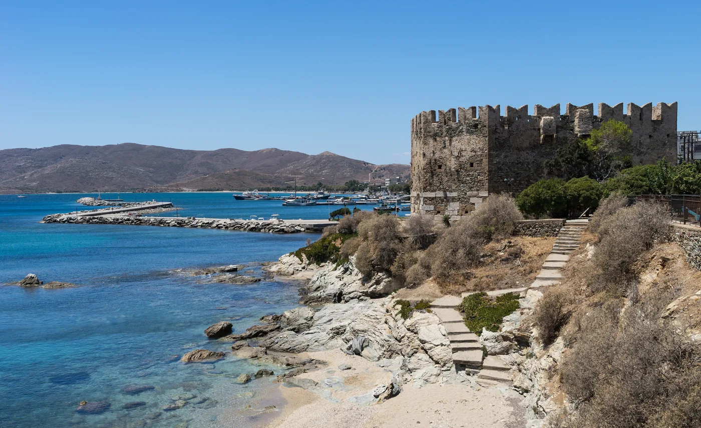
The Venetian tower at the harbour.
Karystos has a sandy beach right in town.
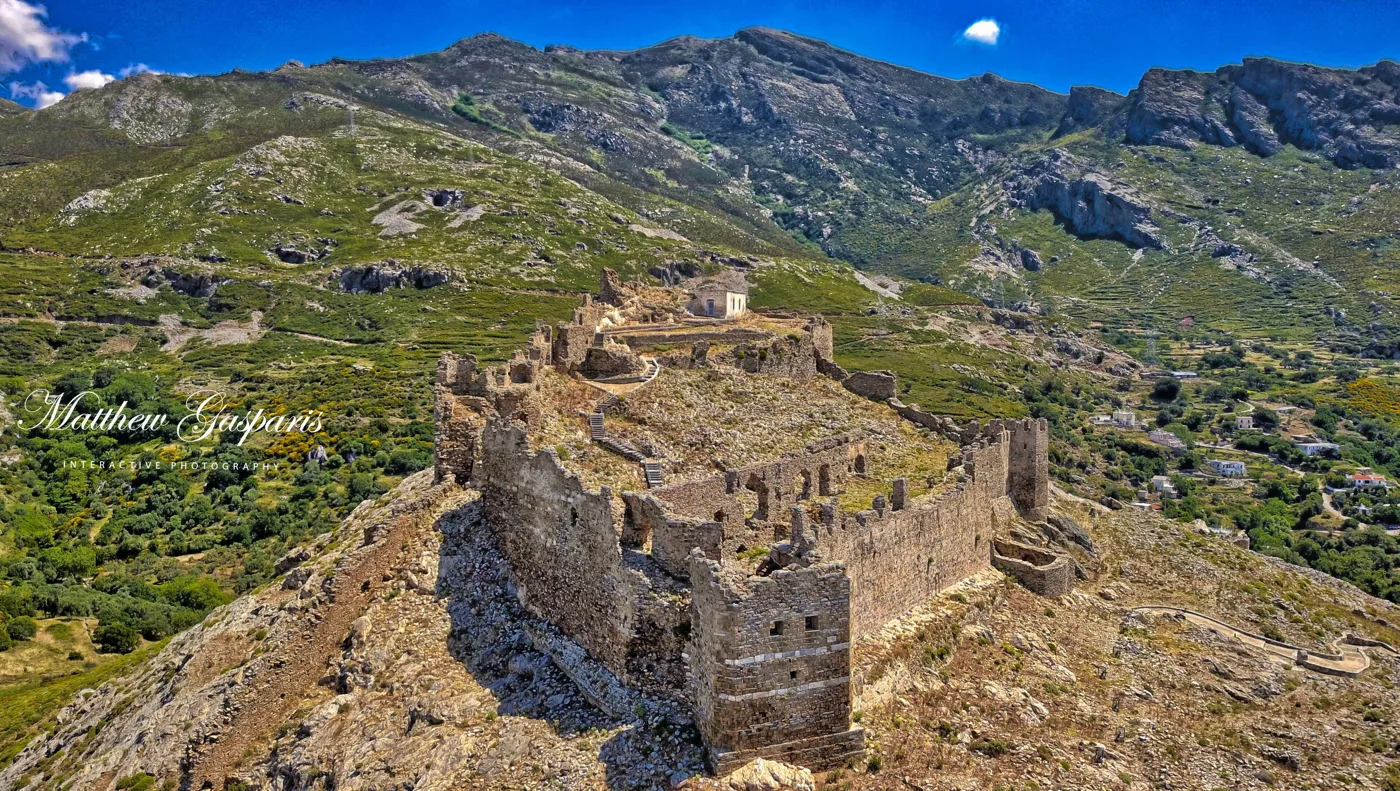
Above Karystos, since the 13th century.
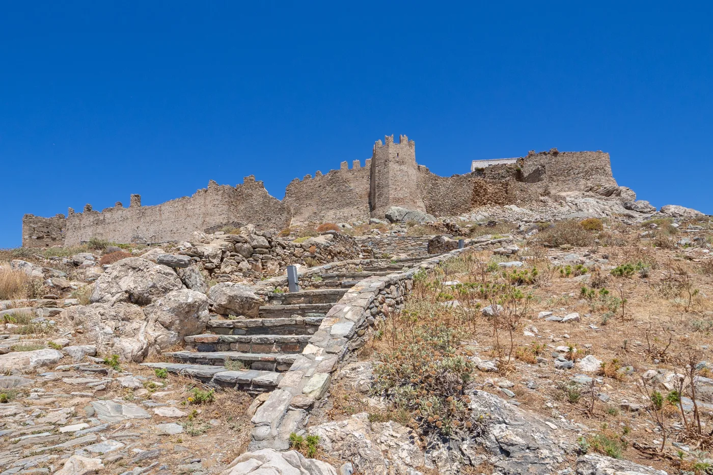
Steps up to the top.
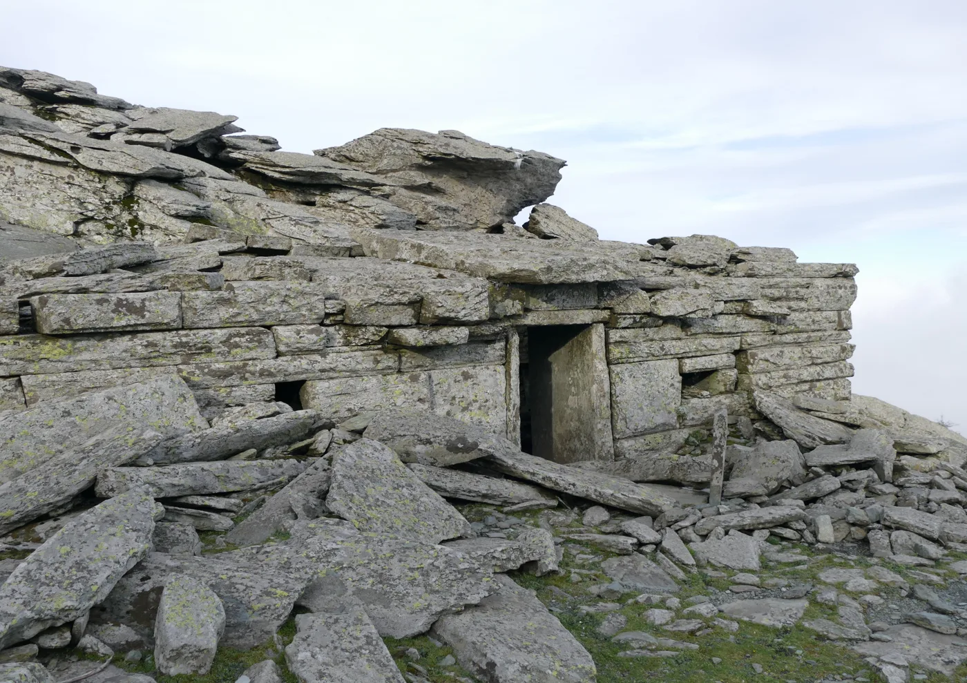
Near the summit of Ochi.
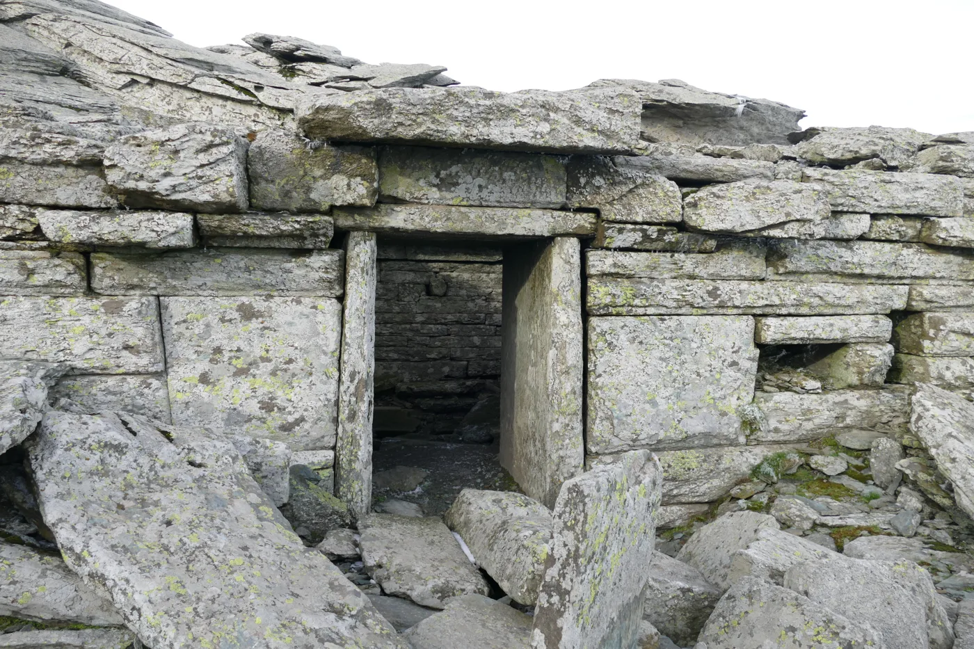
Slabs without mortar, thousands of years ago.
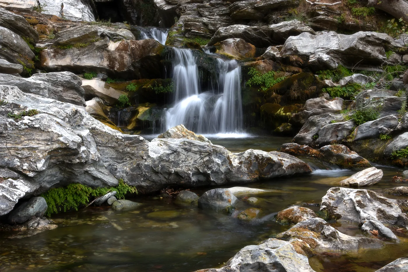
Water and rock pools in the gorge.
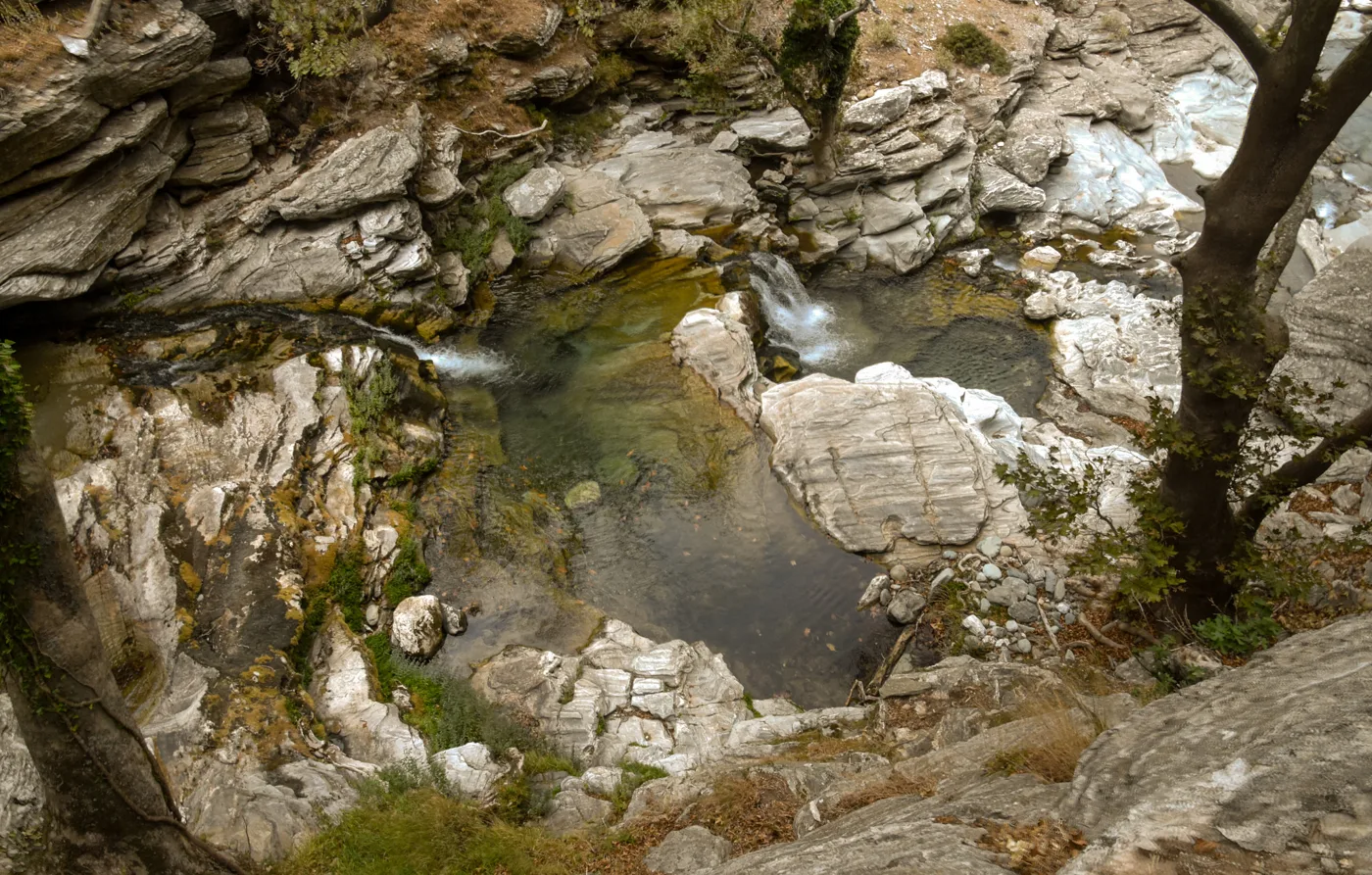
For a cool dip.
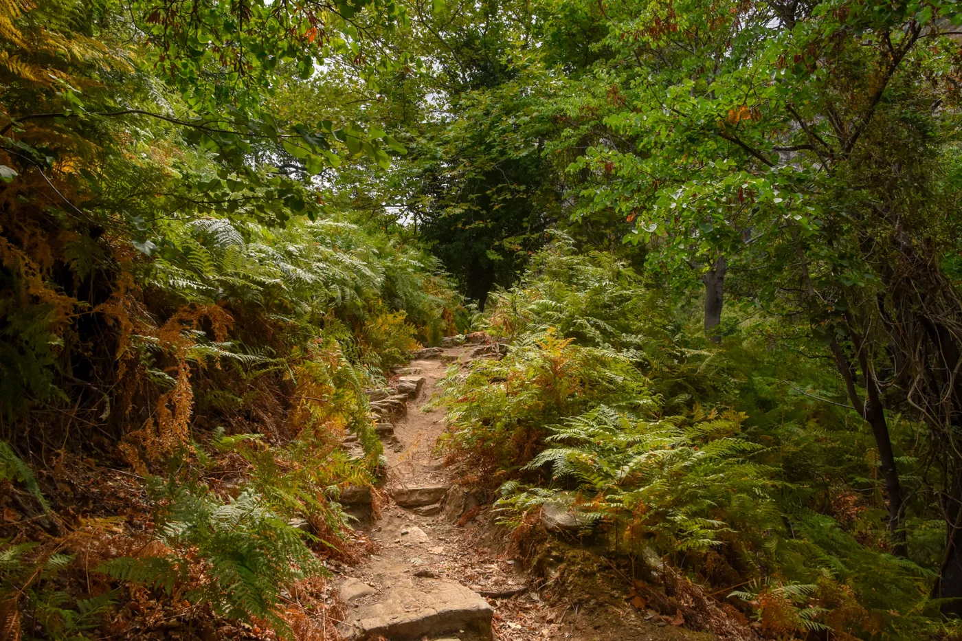
Green, in the middle of summer.
Photos: Jebulon (CC0), C messier (CC BY-SA 4.0), Matthew Gasparis (CC BY-SA 4.0), Klaus-Norbert (CC BY-SA 3.0), Georgios Liakopoulos (CC BY-SA 3.0) · Wikimedia Commons
The gorge has water all year round and shade, and it is one of the few you can walk in July. Start early in the morning, take a swimsuit for the rock pools, and arrange a taxi from Kallianou for the way back.
🏖️ The beaches
Evia has two seas: the calm Evian Gulf on the mainland side, with shallow water for families, and the Aegean on the east side, with waves, pebbles and wild coasts. In the north, Agia Anna and the Lichadonisia. In the centre, Chiliadou and Mourteri. In the south, the sandy beach of Karystos, Kallianou and the hidden coves around Cavo Doro. Near Chalkida and Eretria, the beaches of the Evian Gulf are ideal for a day trip from Athens.
- Lichadonisia: turquoise water and sand, by boat.
- Agia Anna: a huge beach on the Aegean, for everyone.
- Chiliadou: pebbles, crystal-clear water, mountains behind.
- Loutra Aidipsou: hot springs in the sea.
- Eretria: shallow water in the Evian Gulf, for families.
- Karystos: a sandy beach in town, next to the Bourtzi.
- Kallianou: at the end of the Dimosari gorge.
🍽️ What to eat
In Chalkida and Eretria, eat fish and seafood in the waterfront tavernas. In Steni and on Dirfys, grilled meat and kokoretsi. Evia has good wine, especially from Lilantos and Karystos, and the pine honey of northern Evia is among the best in Greece. In Karystos, try the local cheese and the kid from Mount Ochi, and in Limni fish with a view of the bay.
📅 When to go
Evia is worth visiting all year round. May, June and September are the best months for beaches and walking. In July and August it fills with Athenians who have summer houses, and the roads to Chalkida are busy at weekends. In winter, Loutra Aidipsou, snowy Steni and Chalkida are ideal for a getaway.
🚗 How to get there from Athens
| How | Duration | From | Notes |
|---|---|---|---|
| Car | About 1 hour | Athens | On the national road, over the bridge at Chalkida. The most flexible option. |
| Train | About 1.5 hours | Larissa Station | The suburban railway to Chalkida, several times a day. |
| Ferry Oropos–Eretria | About 25 minutes | Oropos | Constantly, all day. For Eretria and the south side. |
| Ferry Rafina–Marmari | About 1 hour | Rafina | For Karystos and southern Evia. |
| Ferry Arkitsa–Aidipsos | About 45 minutes | Arkitsa | For northern Evia, if you are coming along the national road towards Lamia. |
From Ioulianou 50, Larissa Station is very close, and from there the suburban railway goes straight to Chalkida. For everything else, KTEL Evia buses leave from the Liosion bus station, but to see the island you need a car. Evia is linked by ferry from Kymi to Skyros, and from the north to the Sporades: see our guide to Skiathos.
🗓️ Three days in Evia
Chalkida and Eretria
In the morning in Chalkida: a walk along the waterfront, a stop on the old bridge to watch the Euripus current and fish for lunch. In the afternoon in Eretria, for the ancient theatre, the House of the Mosaics and the museum, and a swim at the beach. If it is summer, a performance at the theatre.
The north
Cross the forest to Prokopi, for Saint John the Russian. Then on to Limni, for lunch on the waterfront and a swim. In the evening, Loutra Aidipsou, for a warm bath in the springs that flow into the sea.
The Lichadonisia
A boat to the Lichadonisia from Agios Georgios, at the tip of the peninsula, for a swim in the turquoise water. On the way back, stop in one of the villages on the north coast for the sunset and fish.
Frequently asked questions
Where should I stay in Evia?
In Eretria or Chalkida, for a short visit close to Athens. In Limni or Loutra Aidipsou, for the north, the spas and the Lichadonisia. In Karystos, for the south, Dimosari and Ochi. If you have more days, it is better to stay in two places.
Do I need a car?
Yes. Evia is very big, and the buses don’t reach the villages and beaches worth seeing. You can rent in Athens and cross the bridge, or bring the car on the ferry.
Is Evia good for families?
Yes, one of the best. The beaches of the Evian Gulf have shallow, calm water, prices are low, and the trip from Athens is short, with no ferry. The Aegean has more waves, so take care with small children.
How many days do I need?
A weekend for Chalkida and Eretria, or for the north. At least a week to see the north, the centre and the south at your own pace.
— Kathy