🪪 The island at a glance
📍 Where it is
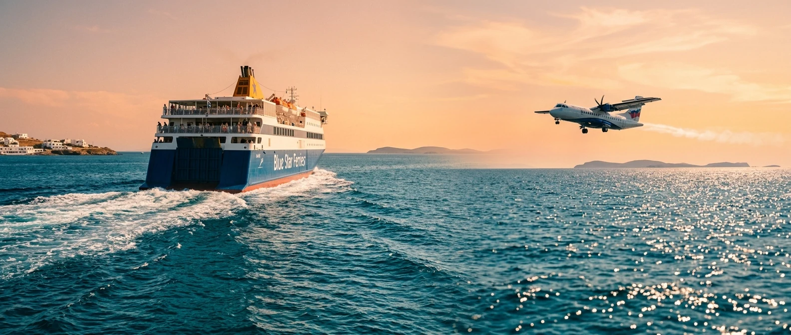
Andros is the northernmost and the second largest of the Cyclades, opposite southern Euboea and next to Tinos. It has no airport, but it does not need one: the ferries leave from Rafina, half an hour from Athens airport, and reach Gavrio in about two hours.
📍 Where Andros is
Andros is the northernmost Cycladic island, opposite Euboea and next to Tinos. The island is shown in red, and in green Rafina, where the ferries leave from, and Athens airport.
🗺️ The map of the island
Andros is long and narrow, with high mountains in the middle and green valleys running down to the east coast. Gavrio, the port, and Batsi, the resort, are on the west coast. Chora is on the east coast, an hour’s drive from the port, and around it are the villages with the waters: Menites, Apoikia and Stenies. In the south is Korthi, in the north the remote beaches.
🗺️ Map of Andros
Gavrio, the port, is in the north-west, and a little further down is Batsi. Chora is on the east coast, with Menites, Apoikia and Stenies in the mountains around it. Paleopoli is on the west coast, Korthi in the south, Achla in the north. Tap each number to see what it is.
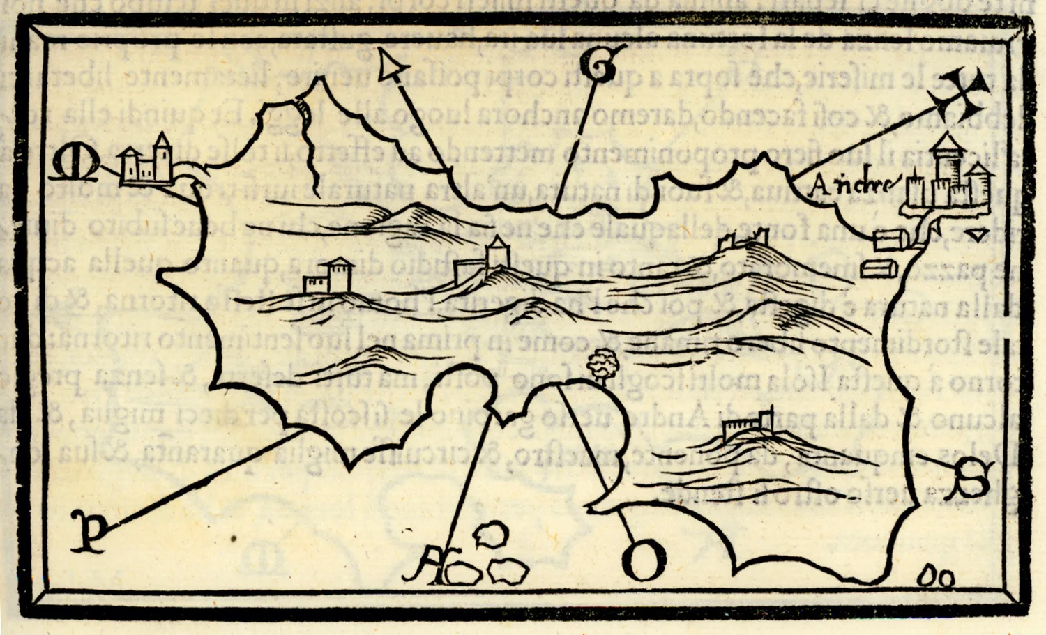
Map: Benedetto Bordone, 1547 (Public domain) · Wikimedia Commons
⚖️ Is it worth it? The pros and cons
Andros is an island for those who want nature, walking, quiet villages and a Chora with character. It is not an island for whitewashed lanes and parties. Here is an honest picture.
📊 At a glance, from 1 to 5
👍 The pros
- Two hours from Rafina, the closest Cycladic island to Athens.
- Greenery and running water you do not expect in the Cyclades.
- The best network of hiking trails in the Aegean.
- Chora with its mansions, the Castle and two good museums.
- Beaches for every taste, many without crowds.
👎 The cons
- A big island, you need a car.
- The north wind blows hard, especially in summer.
- The port, Gavrio, is 35 kilometres from Chora.
- Little nightlife.
🏛️ Chora, the Castle and Tourlitis
The Chora of Andros is built on a narrow peninsula between two beaches, Nimborio and Paraporti. Its main street is paved with marble and on both sides stand neoclassical mansions, the houses of the shipowners who made the island rich in the 19th and 20th centuries. At the tip of the peninsula, Kairis Square opens onto the sea, with the statue of the Unknown Sailor.
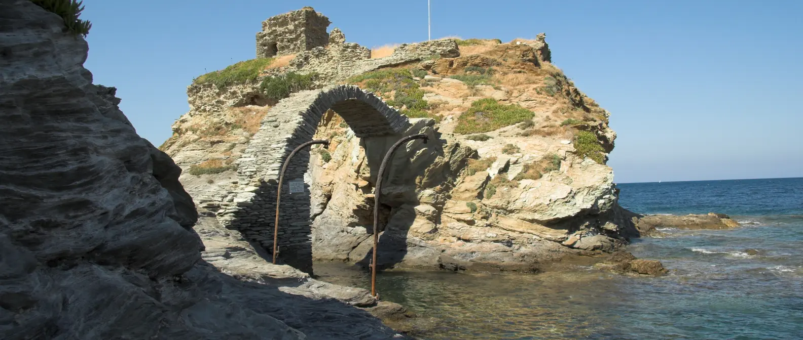
Further on, on a rocky islet, are the ruins of the 13th-century Venetian Castle, joined to the land by a stone arched bridge. And in the sea, on a rock, stands Tourlitis, the lighthouse of 1897, the island’s best-known image. In Chora you will also see two museums you do not expect on an island: the Museum of Contemporary Art of the Goulandris Foundation, with major exhibitions every summer, and the Archaeological Museum, with the Hermes of Andros, a statue of the 1st century BC found at Paleopoli.
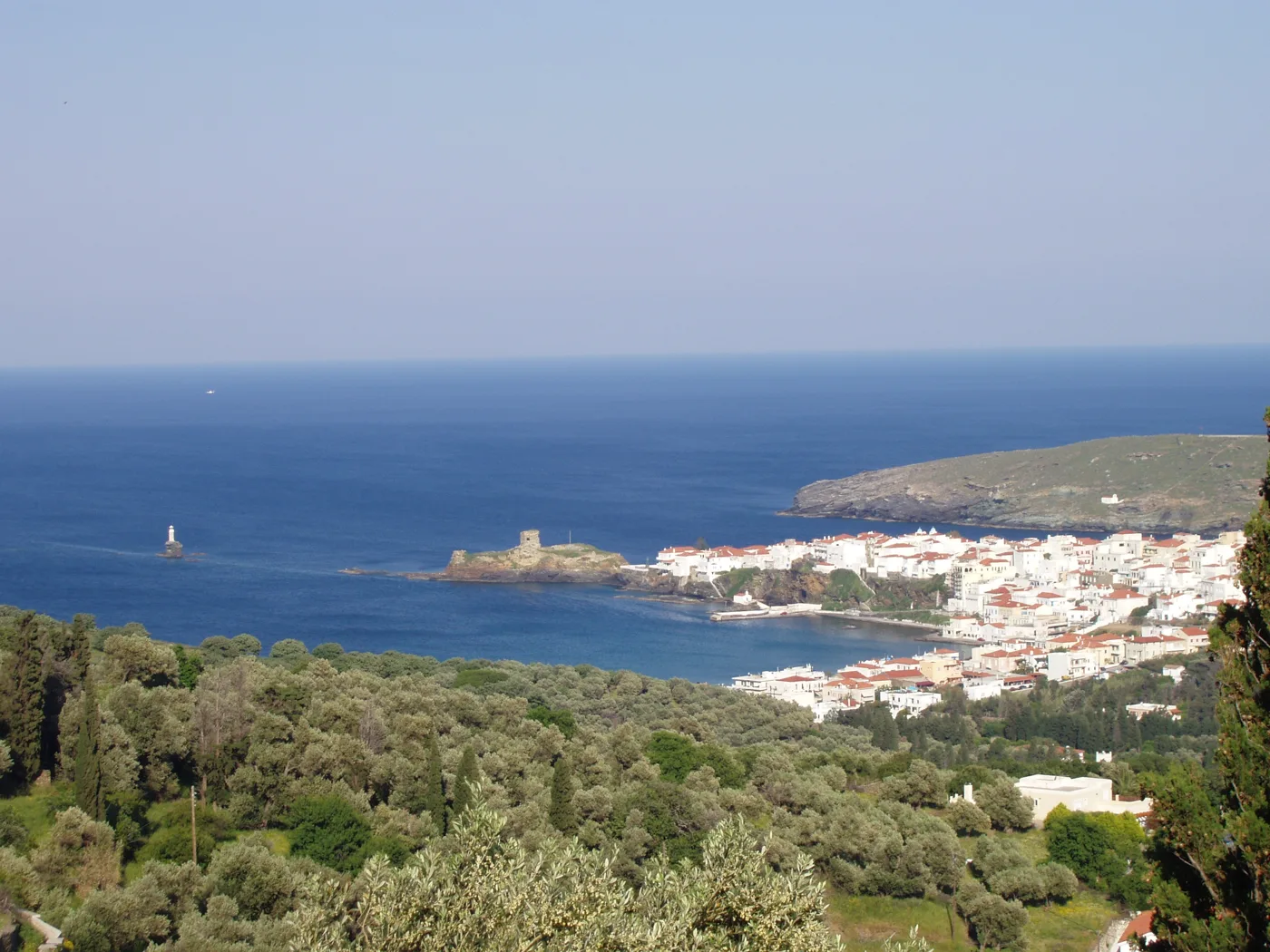
On a narrow peninsula between two beaches.
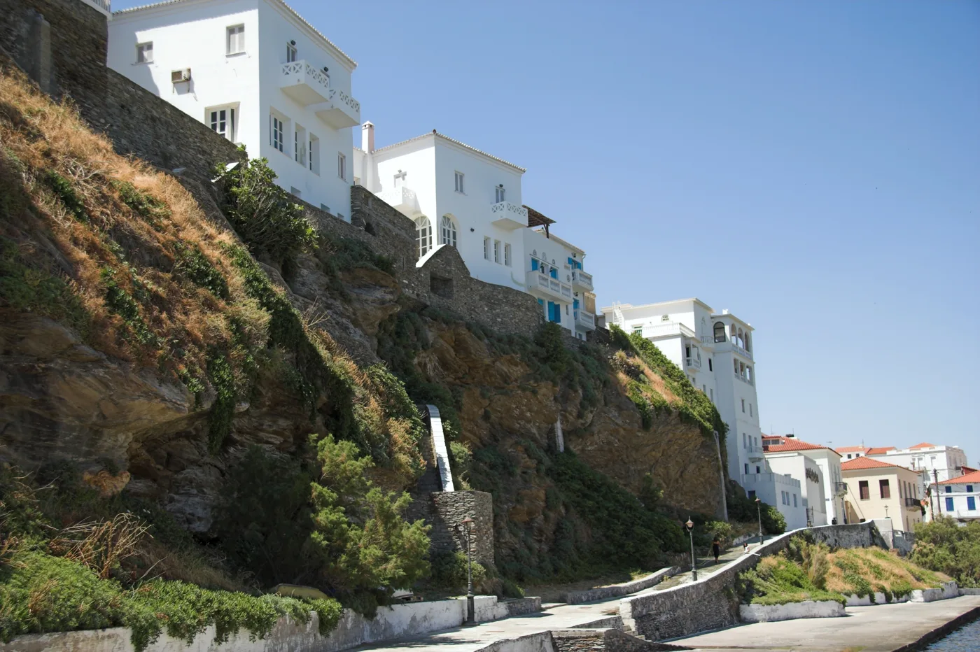
Shipowners’ houses above the waves.
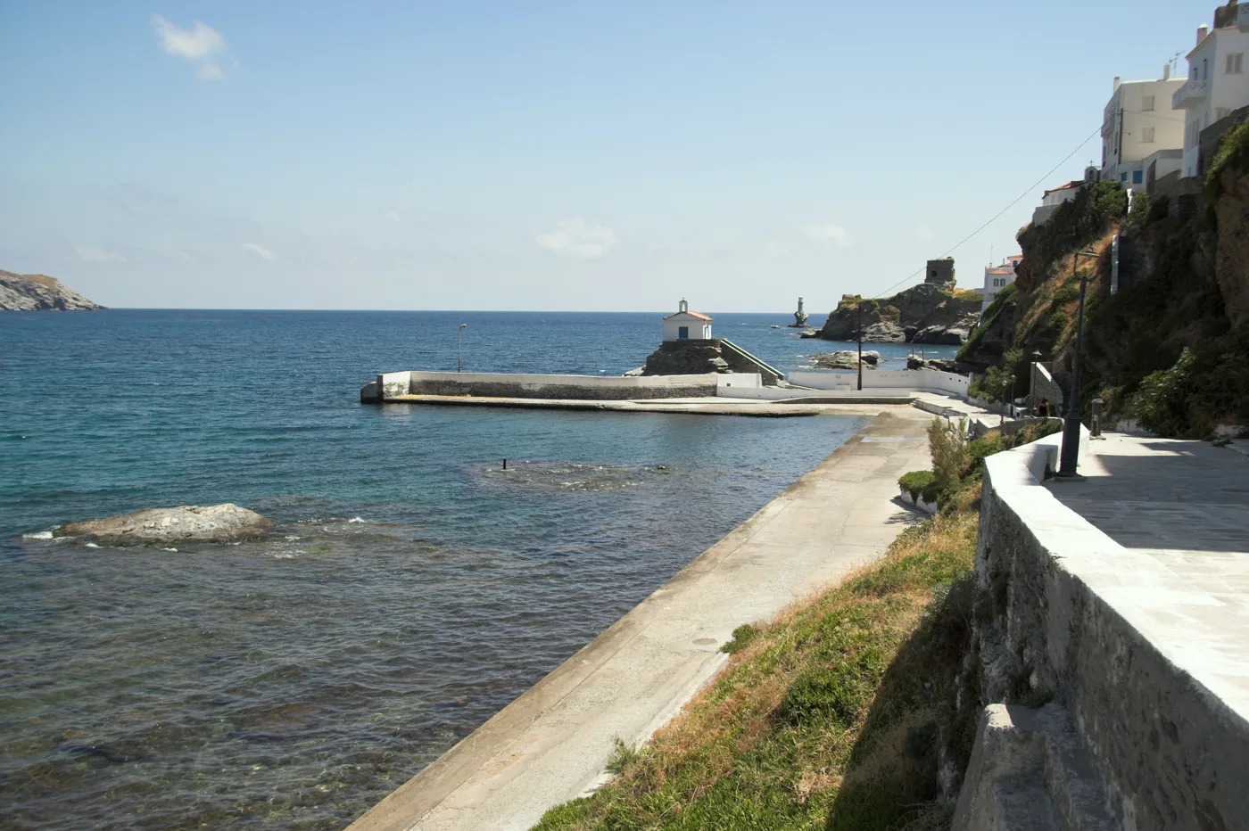
Below the mansions.
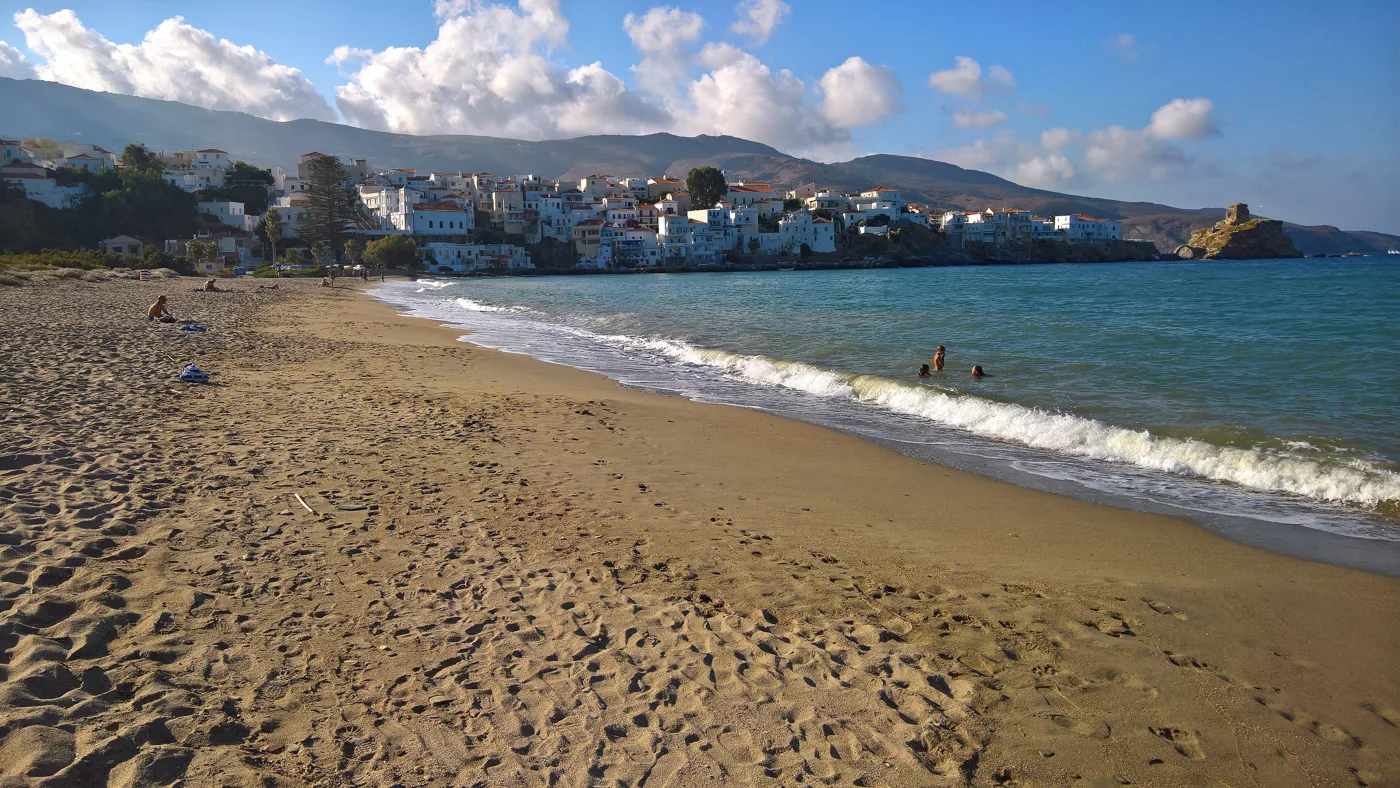
The beach next to Chora.
Photos: Vassilis Kyrtatas (Public domain), Zde (CC BY-SA 4.0), GKantaris (CC BY-SA 4.0) · Wikimedia Commons
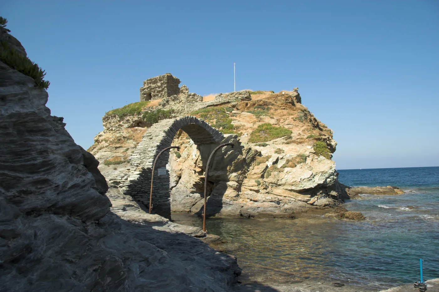
On an islet, at the edge of Chora.
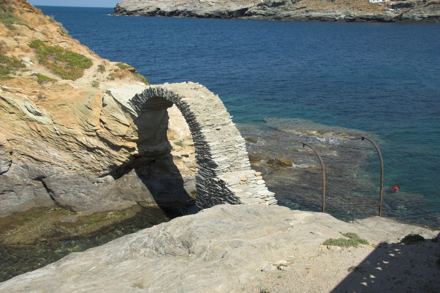
An arch above the sea.
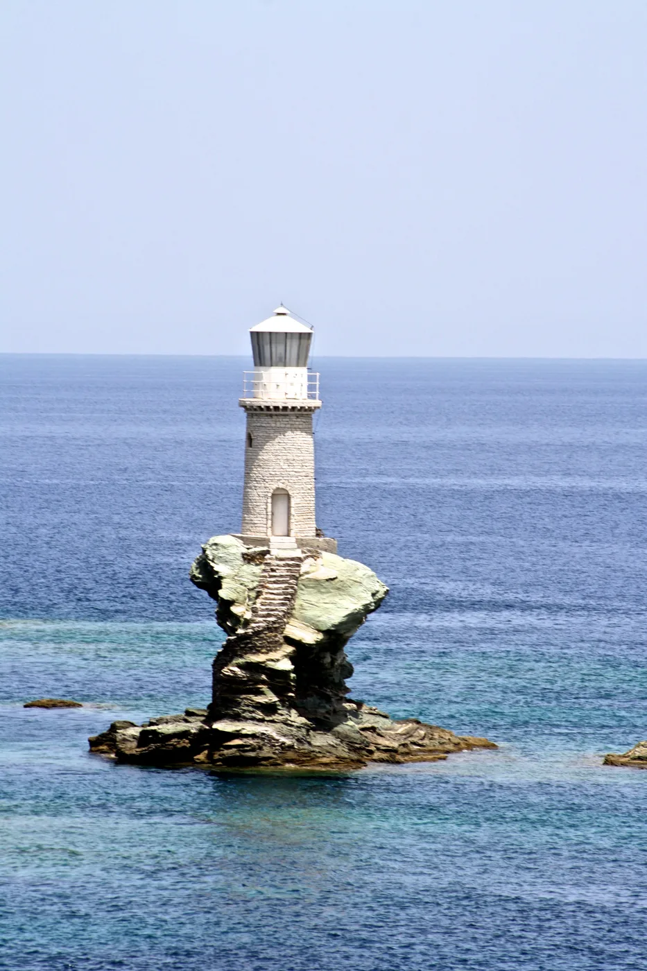
The lighthouse on the rock, since 1897.
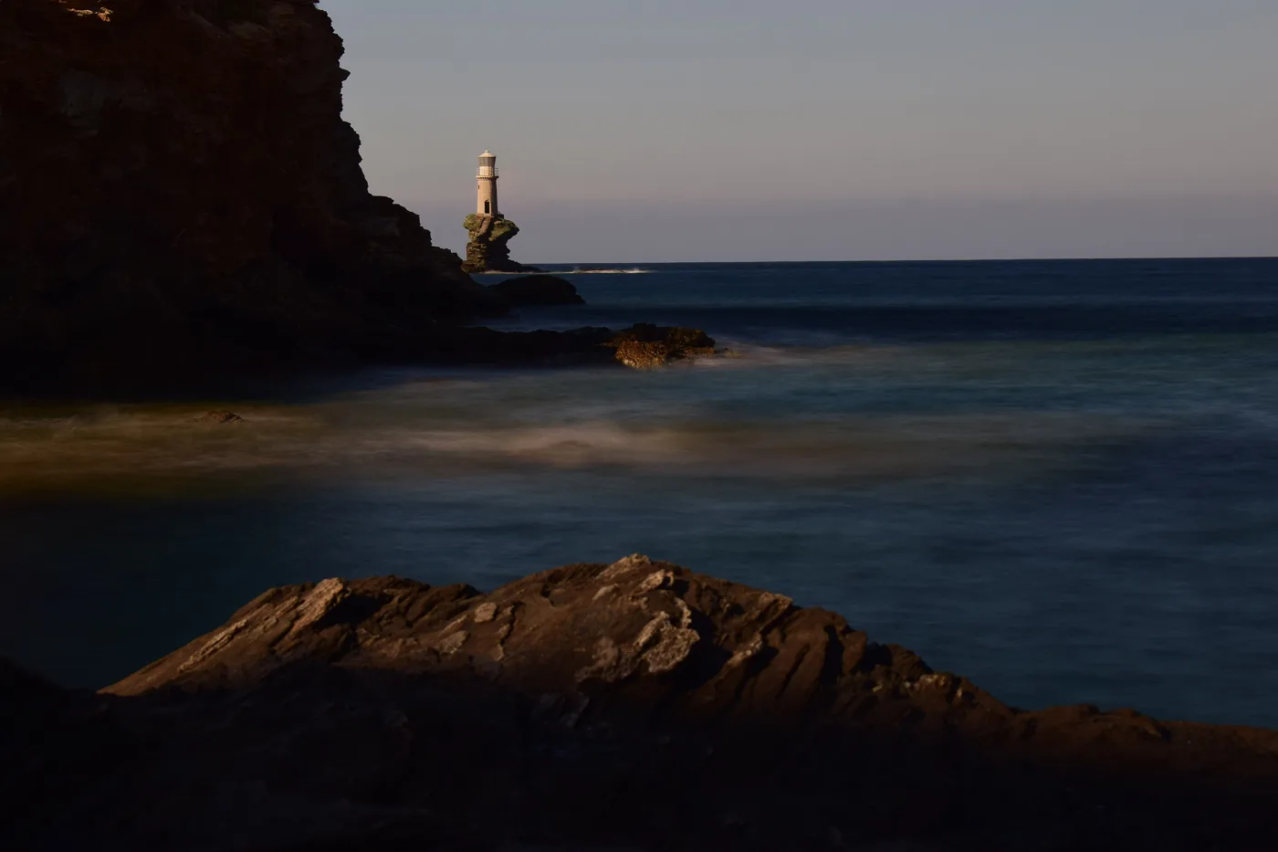
From the pier of Chora.
Photos: Zde (CC BY-SA 4.0), Petrosdeme (CC BY-SA 4.0), Αλεξανδρής Αλέξης (CC BY-SA 4.0) · Wikimedia Commons
Start from the bus stop, walk the marble street to Kairis Square, go down to the Castle and the bridge, and come back along the seafront walk below the mansions. One hour on foot, with stops for photos.
💧 Waters, villages and trails
A few kilometres from Chora, Menites is a village among plane trees and gardens, where water runs all year round from stone spouts below the church. Its tavernas are among the best on the island. Higher up, Apoikia has the Sariza spring, the water all of Greece drinks from a bottle, and next to it the forest of Pithara, with small waterfalls and pools, half an hour’s walk. Stenies, the village of the captains, hangs on a green slope above the sea, and an old cobbled path goes down to Gialia beach.
Andros is the island for walking. The old roads between the villages, the kalderimia, were cleared and signposted by the Andros Routes team, and more than a hundred kilometres hold European certification. There are routes for everyone, from one hour to a whole day, through ravines, dry-stone walls, dovecotes and villages. In May there is a hiking festival too.
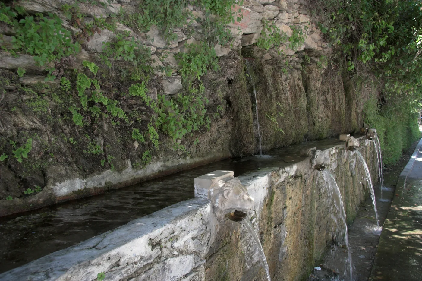
The water runs all year round.
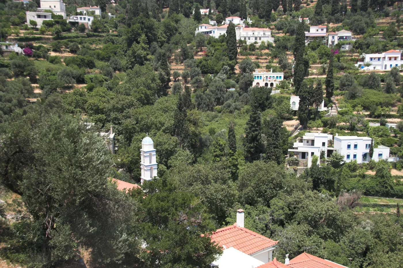
Plane trees, gardens and tavernas.
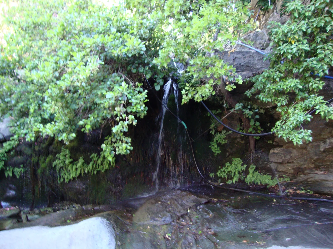
Waterfalls in the forest.
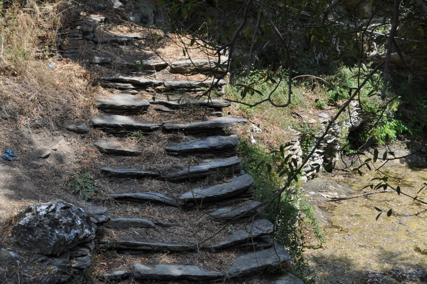
From Stenies down to the sea.
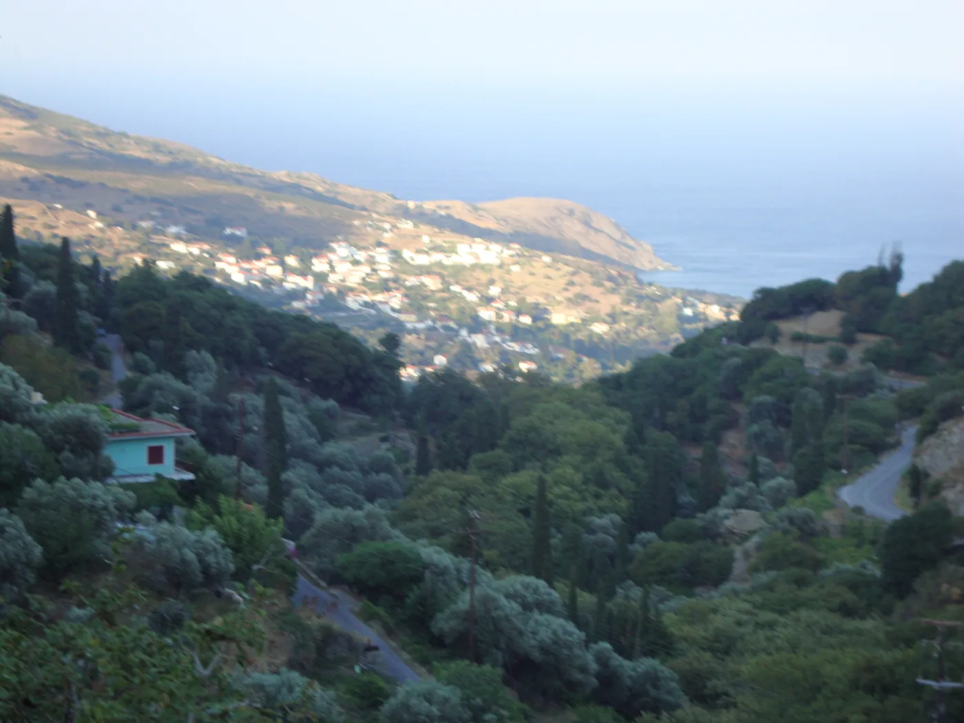
The village of the captains.
Photos: Zde (CC BY-SA 4.0), Trikos (CC BY-SA 4.0), Ioannis Fakis (CC BY-SA 4.0) · Wikimedia Commons
Apoikia to Pithara, half an hour through the forest. Stenies to Gialia, one hour downhill with a swim at the end. Chora to Menites through the ravine, two hours. Take water, a hat and shoes with a good sole.
⛵ Gavrio, Batsi and the west coast
Gavrio is the port, a small village with tavernas around the quay, which comes to life when the ferry arrives. A few kilometres inland, the Tower of Agios Petros is a round stone tower of the Hellenistic period, twenty metres high, still standing almost intact after more than 2,000 years. Batsi, a little further south, is the island’s resort: a sandy beach, hotels, cafés and tavernas around a sheltered bay, and whatever nightlife Andros has.
In the middle of the west coast, Paleopoli was the ancient capital, from the 7th century BC to Byzantine times. Today’s village is built on terraces above the sea, with a small but good archaeological museum, and a path of more than a thousand steps goes down to the beach, where the ancient harbour still lies under the water.
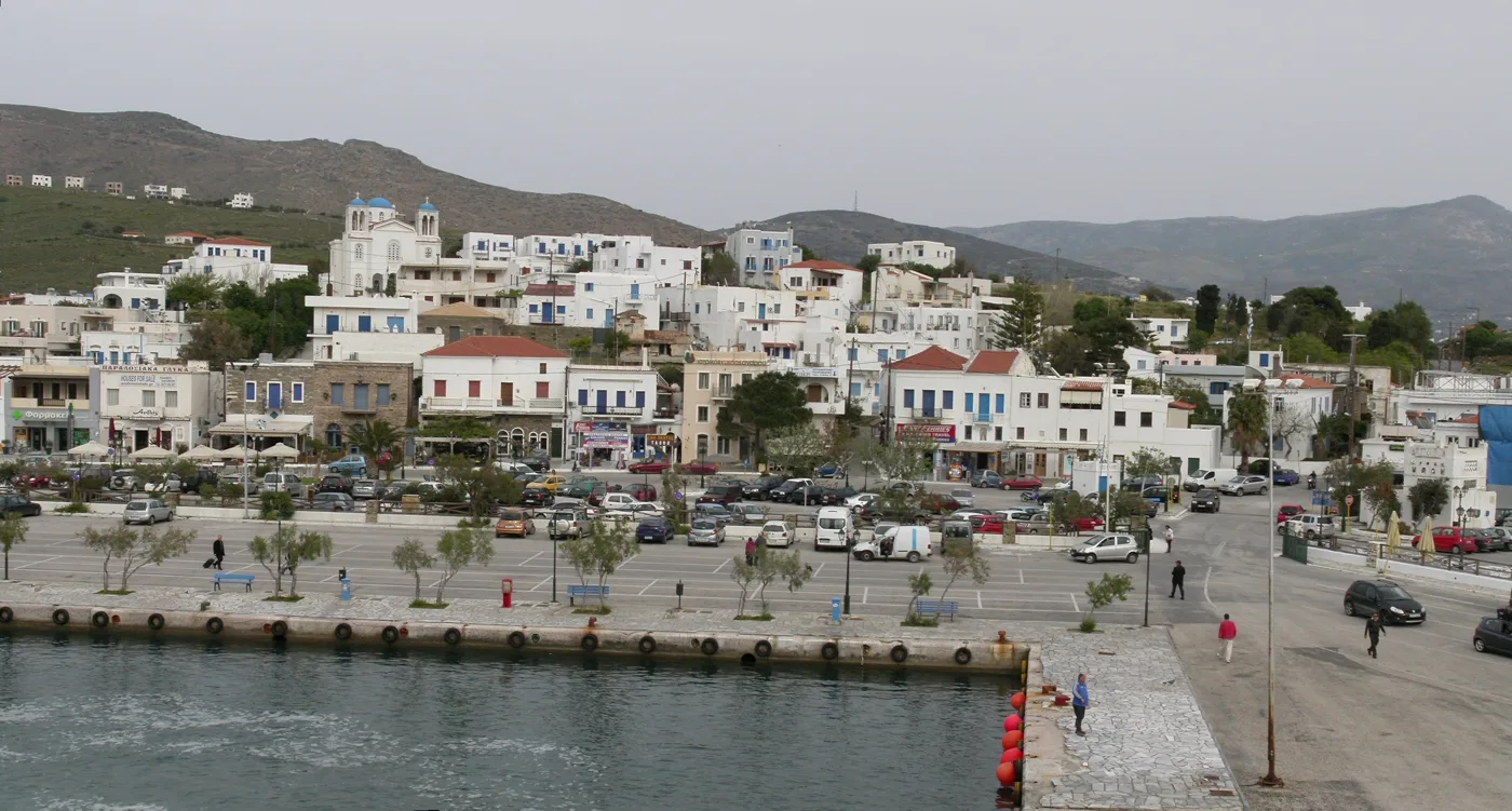
This is where the ferries from Rafina arrive.
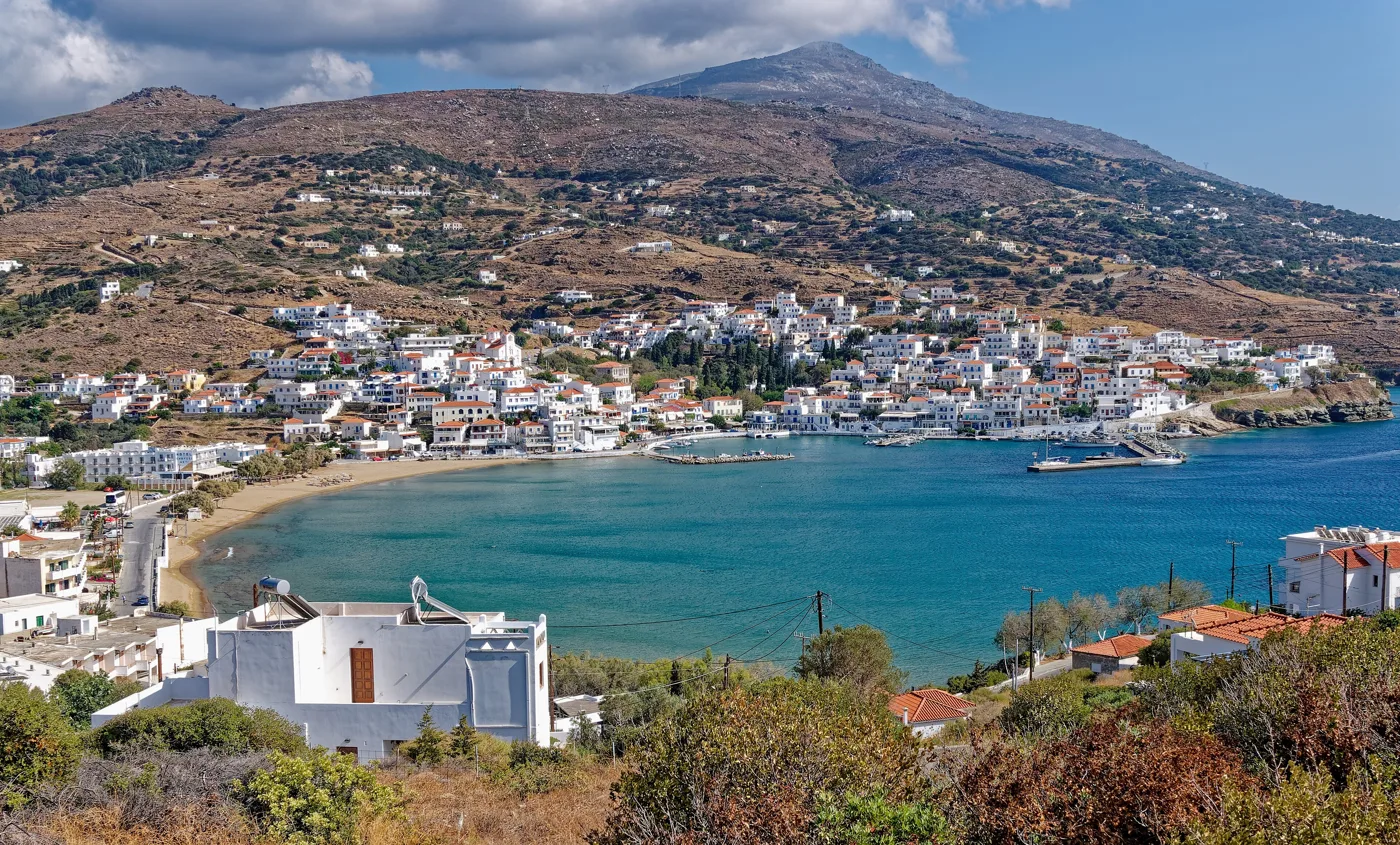
The resort of the west coast.
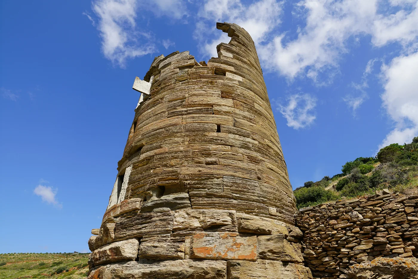
Hellenistic, more than 2,000 years old.
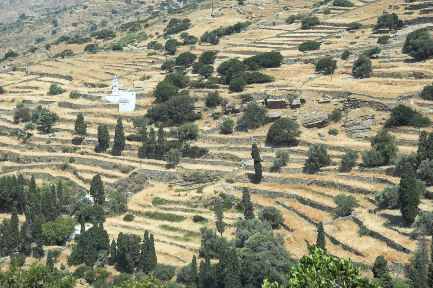
The ancient capital, on terraces down to the sea.
Photos: Stepanps (CC BY-SA 4.0), Holger Uwe Schmitt (CC BY-SA 4.0), Redeemer (CC BY-SA 4.0), Zde (CC BY-SA 4.0) · Wikimedia Commons
🏖️ The beaches
Andros has beaches for every wind and every mood. Near Gavrio, Kypri and Chrysi Ammos are big organised sandy beaches, good for families. In the north, Achla, Vitali and Zorkos are among the loveliest in the Aegean, but need a dirt road or a boat. In the south, the bay of Korthi has a sandy beach and tavernas, and a little further down Grias to Pidima, with a tall rock in the sea, is the most photographed beach on the island.
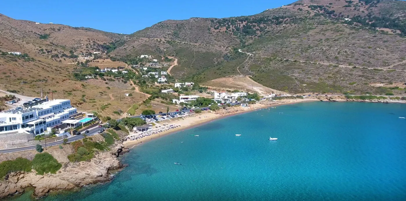
Near Gavrio.
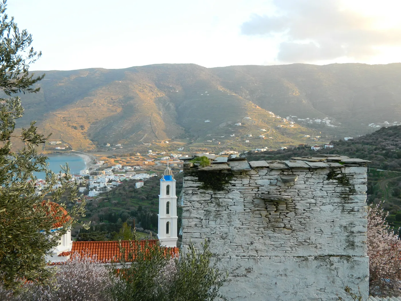
The bay of the south.
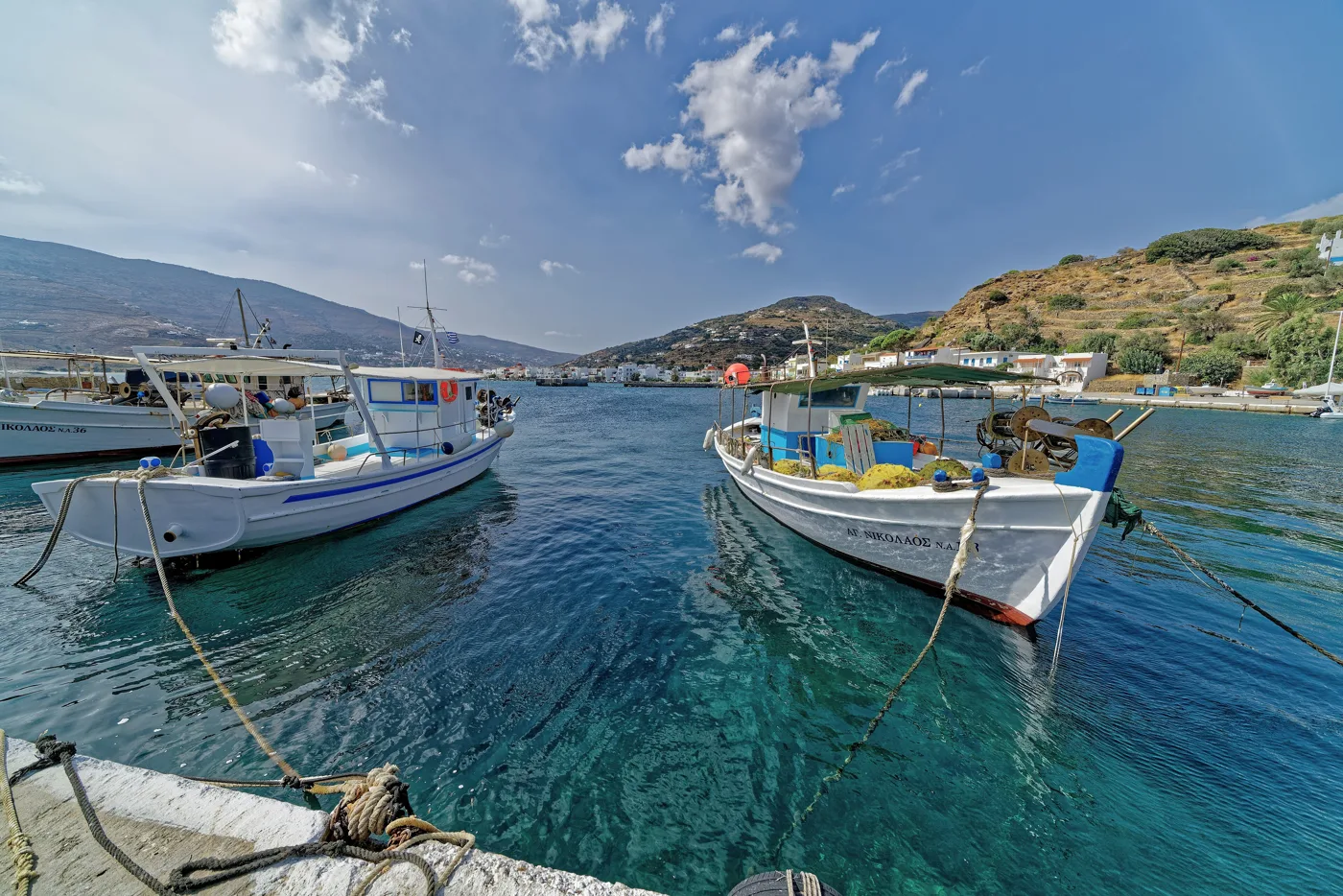
At Ormos Korthiou.
Photos: Loukisas Evagelos (CC BY-SA 4.0), evi (Public domain), Holger Uwe Schmitt (CC BY-SA 4.0) · Wikimedia Commons
- Chrysi Ammos and Kypri: big, organised, near Gavrio.
- Achla: a river, tamarisks and sand, by dirt road or boat from Chora.
- Vitali and Zorkos: remote sandy beaches of the north.
- Gialia: below Stenies, by cobbled path.
- Nimborio and Paraporti: the two beaches of Chora.
- Grias to Pidima: the rock in the sea, south of Korthi.
The summer meltemi winds hit the east and north coasts. When the north wind blows, go to the beaches of the west and south coasts: Batsi, Chrysi Ammos, Korthi.
🍽️ What to eat
Try froutalia, a thick omelette with potatoes and local sausage, the island’s best-known dish, and kaltsounia, little pies with cheese and honey. Andros has its own cheeses, volaki and petroti, very good honey, and almond sweets, amygdalota. In Menites eat under the plane trees, in Korthi and Gavrio have fish, and in Chora have a coffee in Kairis Square with a view of the sea.
📅 When to go
For walking, the best time is spring, from April to June, when the waters run and everything is green. For swimming, June and September, with a warm sea and less wind. In July and August Andros fills up with Athenians at weekends and the meltemi blows, but it never gets as crowded as Mykonos.
⛴️ How to get there from Athens
| How | Duration | From | Notes |
|---|---|---|---|
| Ferry | About 2 hours | Rafina | Many sailings every day, all year round. |
| Fast boat | About 1 hour 15 minutes | Rafina | In summer. More expensive, does not sail in strong wind. |
| Bus to Rafina | About 1 hour | Pedion tou Areos or the airport | KTEL buses from Mavrommataion street, next to Ioulianou. |
From Ioulianou 50 the stop of the KTEL buses to Rafina is a few minutes on foot, on Mavrommataion street, at Pedion tou Areos. The bus drops you at the port of Rafina in about an hour. On the island there are buses from Gavrio to Batsi and Chora, but for the villages and the beaches you need a car. To compare ferry and plane, see our guide to ferry or plane.
🗓️ Three days on Andros
Chora and its villages
Morning in Chora: the marble main street, the Museum of Contemporary Art, Kairis Square, the Castle and Tourlitis. A swim at Nimborio. Afternoon in Menites for water and food under the plane trees.
Trail and beach
A trail in the morning, from Apoikia to Pithara or from Stenies to Gialia. In the afternoon, by car or boat, to Achla or Vitali.
The west coast and Korthi
Paleopoli and its museum, a swim at Batsi or Chrysi Ammos, the Tower of Agios Petros. If you have time, Korthi and Grias to Pidima in the south.
Frequently asked questions
Where should I stay on Andros?
In Chora, for the mansions, the museums, the tavernas and the villages around it. In Batsi, for a beach, hotels and lively evenings. In Gavrio, only if you want to be next to the ferry.
Do I need a car?
Yes. The island is big, the villages and beaches are scattered, and the buses mainly run from Gavrio to Chora. You can bring your own car on the ferry or rent one in Gavrio.
Is it very windy?
In summer, yes. The meltemi blows hard in July and August, mainly on the east and north coasts. Choose your beach according to the wind, and prefer June or September.
How many days do I need?
Three days for Chora, Menites, a trail and two beaches. For hiking or to see the whole island, a week. A weekend from Athens is easy, though.
— Kathy