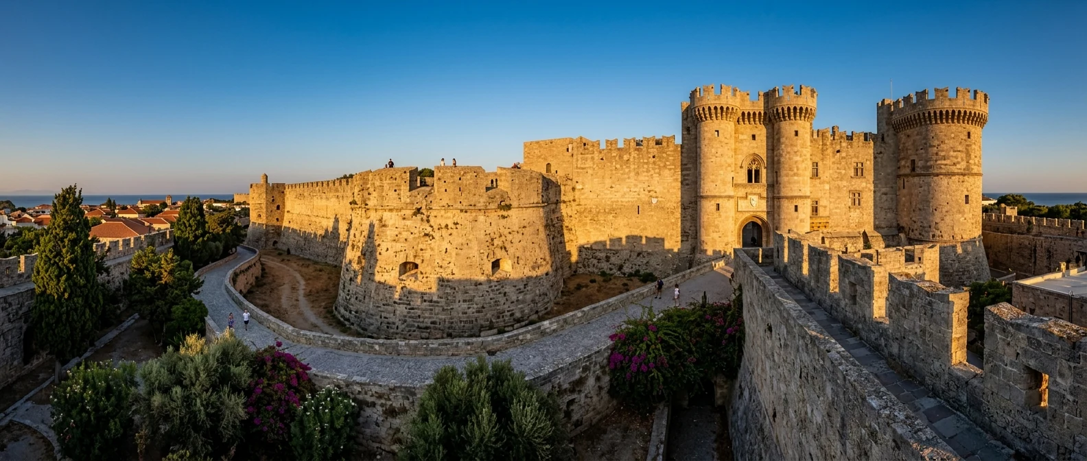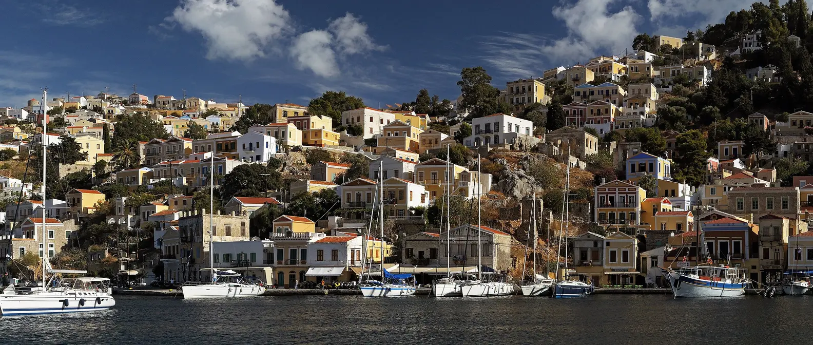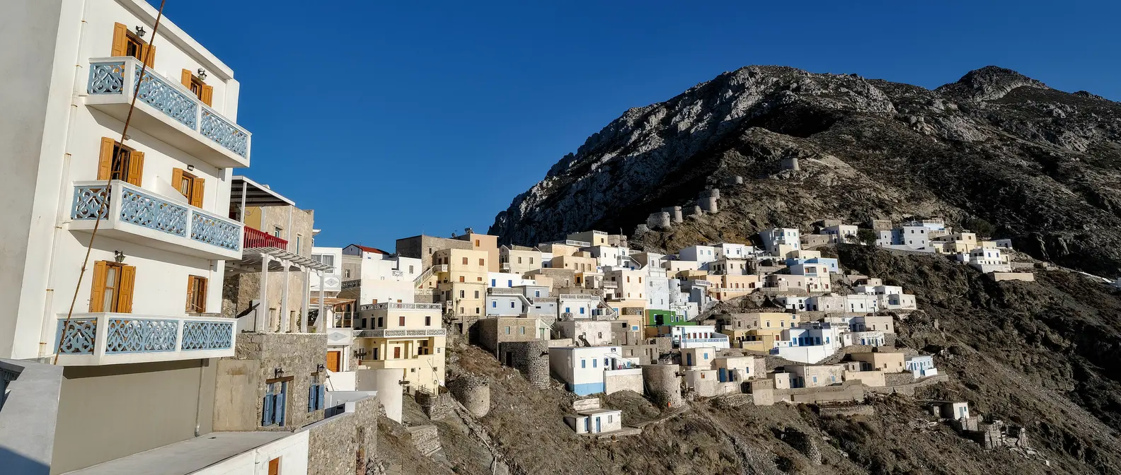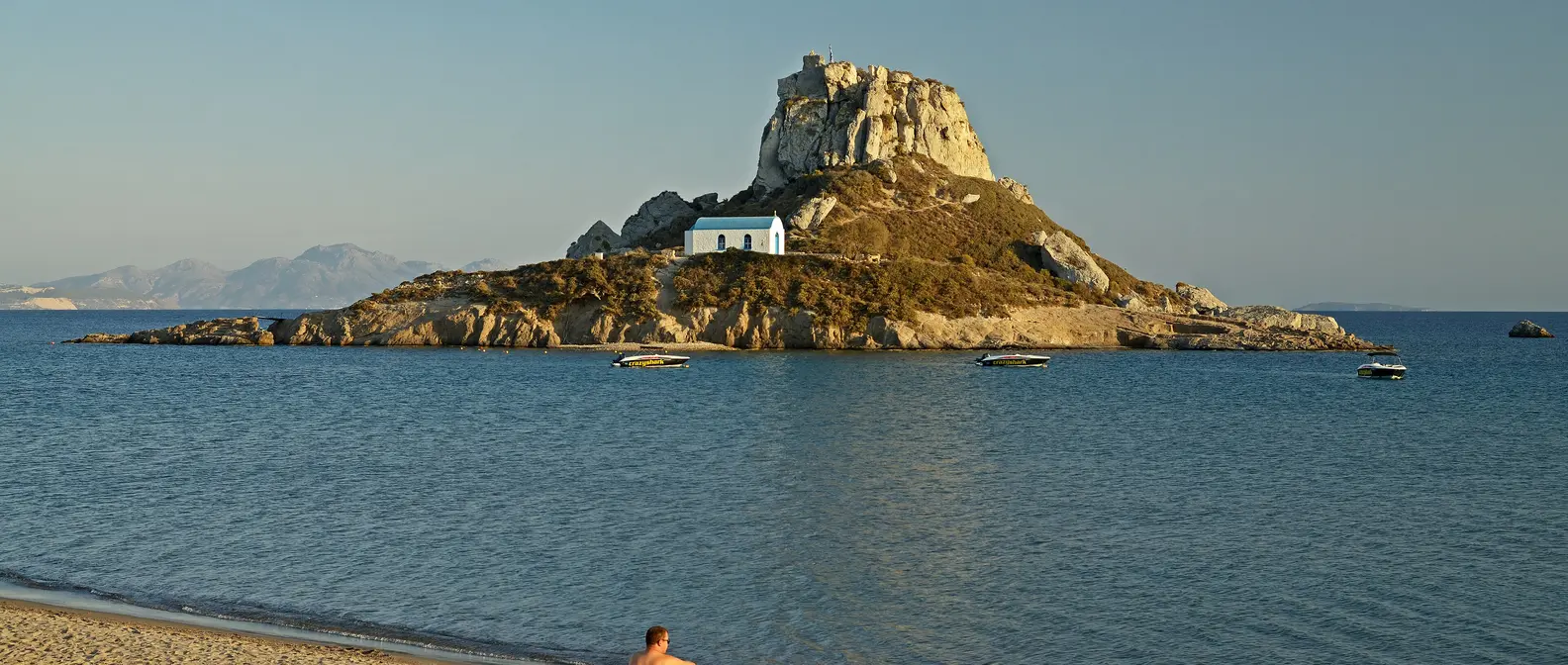
🪪 The island at a glance
📍 Where it is
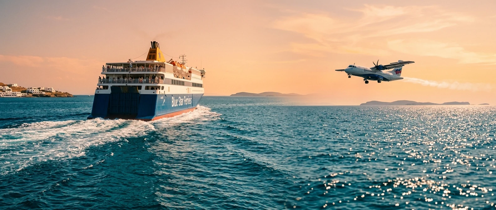
Kastellorizo, or Megisti, is the most remote island of the Dodecanese, about 120 kilometres east of Rhodes and just two kilometres from the coast of Turkey, opposite Kaş. You get there via Rhodes, by ferry in about four to five hours or by small plane. There are also occasional ferries from Piraeus, but the trip takes more than a day.
📍 Where Kastellorizo is
Kastellorizo is the easternmost island of Greece, very far from Athens and very close to Turkey. The island is in red, and in green are Athens airport and Rhodes, where you continue by ferry or plane.
🗺️ The map of the island
Kastellorizo is small and dry, with a single village, Megisti, built like an amphitheatre around the harbour, which is like an enclosed lake. Next to it, on a red rock, stands the castle, and behind it the little Mandraki. From the village, steps climb to the plateau, home to the airport, Palaiokastro and the monastery of Agios Georgios tou Vounou. There are almost no roads: everything is done on foot or by boat.
🗺️ Map of Kastellorizo
Kastellorizo is small and rocky, with its village, Megisti, around the harbour on the northeast coast and the castle next to it. Up on the plateau are the airport, Palaiokastro and the monastery of Agios Georgios. The Blue Cave is on the south coast. Around the island lie Ro, Strongyli and, opposite, Kaş. Tap each number to see what it is.
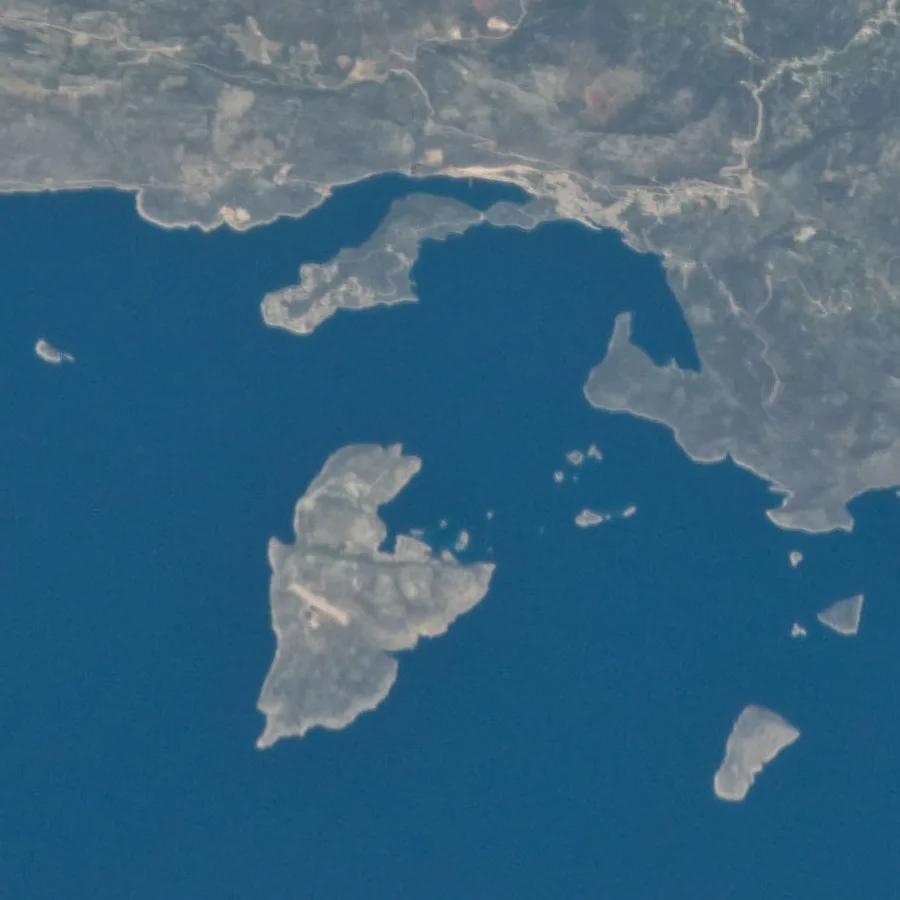
Photo: NASA (Public domain) · Wikimedia Commons
⚖️ Is it worth it? The pros and cons
Kastellorizo is a journey to the edge of Greece, for those who want beauty and peace, not sandy beaches. Here is an honest picture.
📊 At a glance, from 1 to 5
👍 The pros
- One of the most beautiful harbours in Greece.
- The Blue Cave, one of the largest sea caves in the Mediterranean.
- Crystal-clear water for diving off the rocks and the waterfront.
- Peace and quiet, with no cars and no rush.
- A day trip to Kaş in Turkey, just opposite.
👎 The cons
- A long journey: via Rhodes, by ferry or small plane.
- No sandy beaches, only rocks and ladders into the sea.
- Few places to stay, and pricier than other islands.
- In winter and in bad weather, connections get difficult.
⚓ The harbour of Megisti
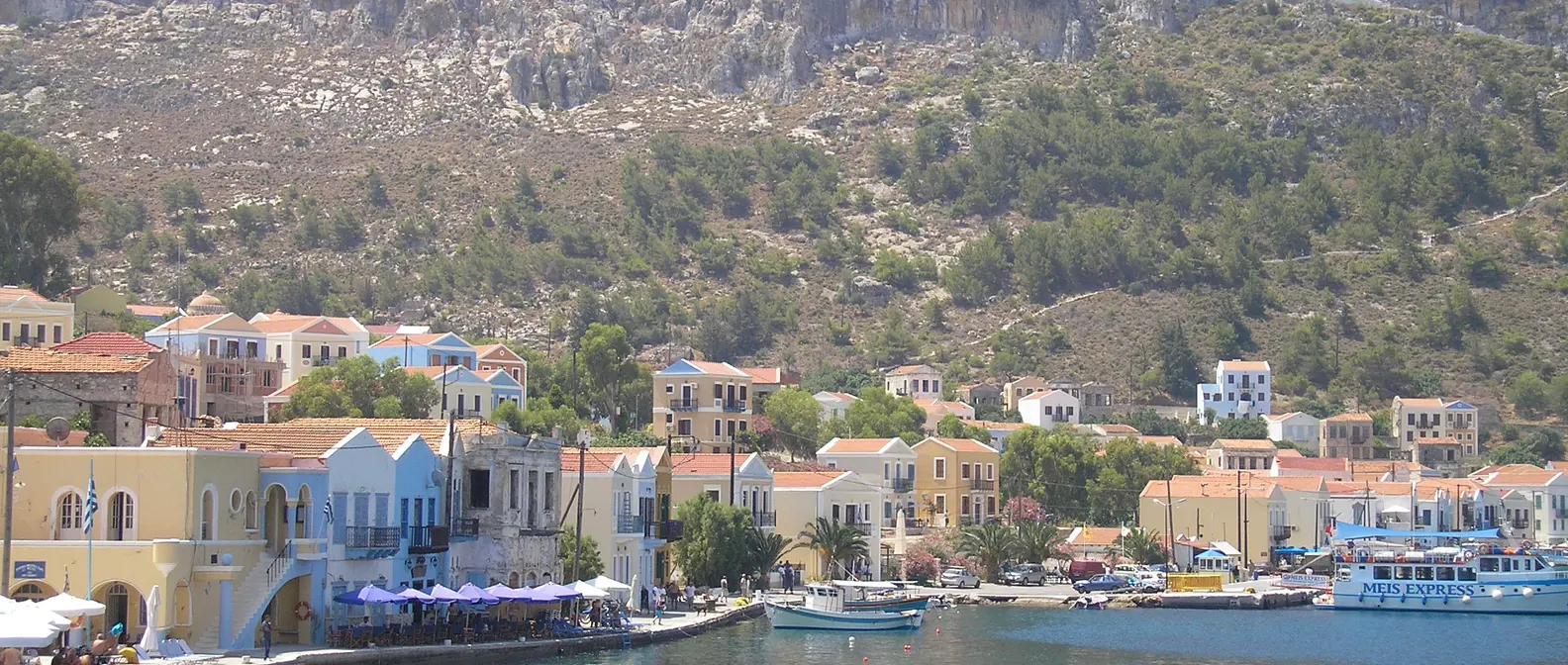
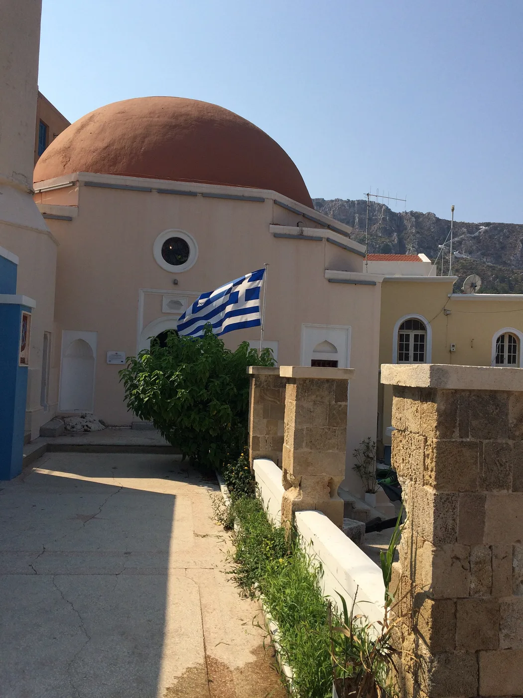
The harbour is the heart of the island. Around it stand two- and three-storey mansions with wooden balconies, painted yellow, blue, pink and red, a reminder of the years when Kastellorizo was a rich trading port with thousands of inhabitants. On the waterfront are the tavernas and cafés, with tables almost in the water, and the Agora with its arches. At the end stand an old mosque and the church of Saints Constantine and Helen.
The island has no sandy beaches. You swim from the waterfront, with little ladders going down into the crystal-clear water, and from the rocks around the harbour. The water is deep and transparent, and you will often see sea turtles swimming past.
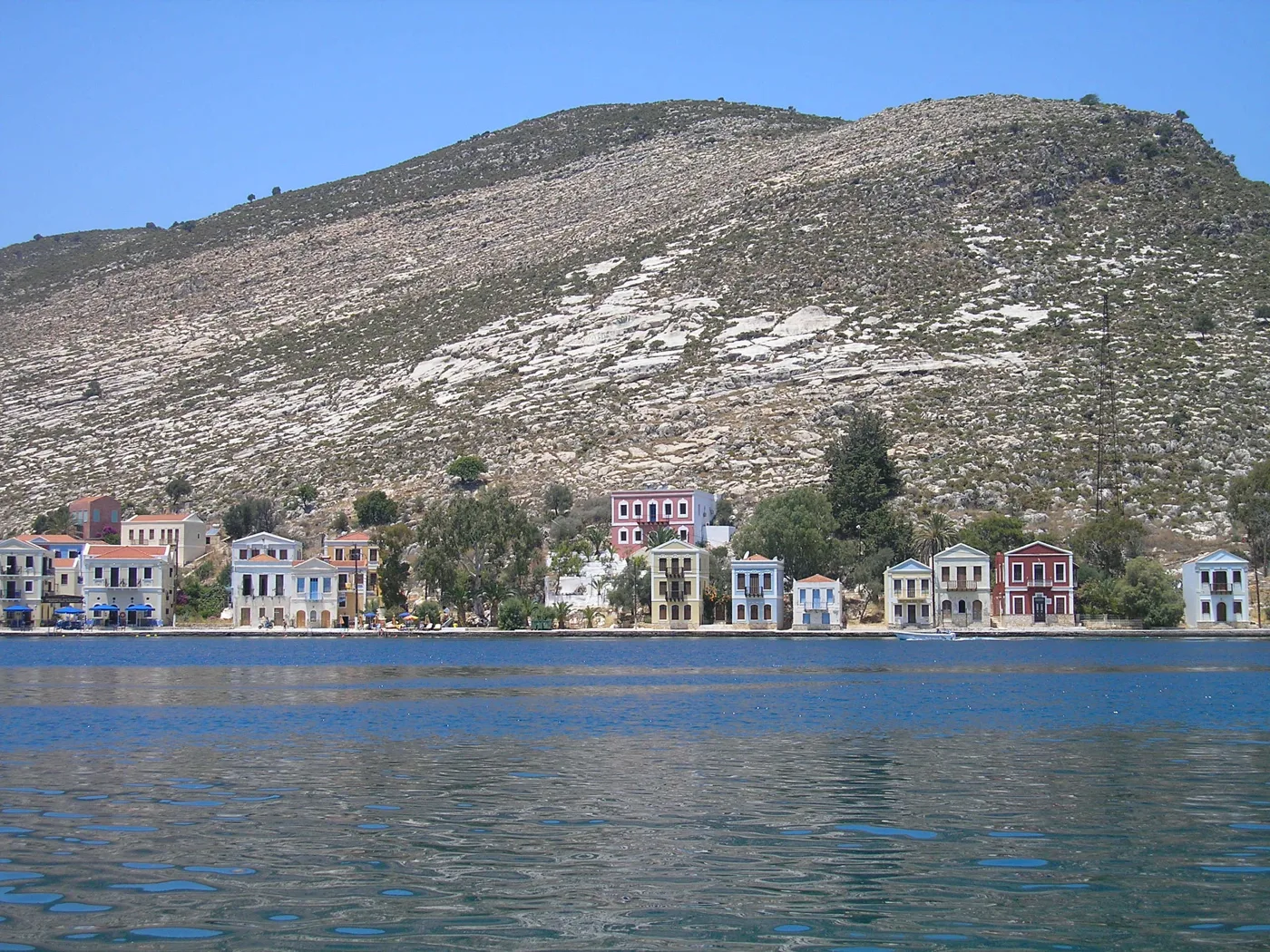
Houses right down to the water.
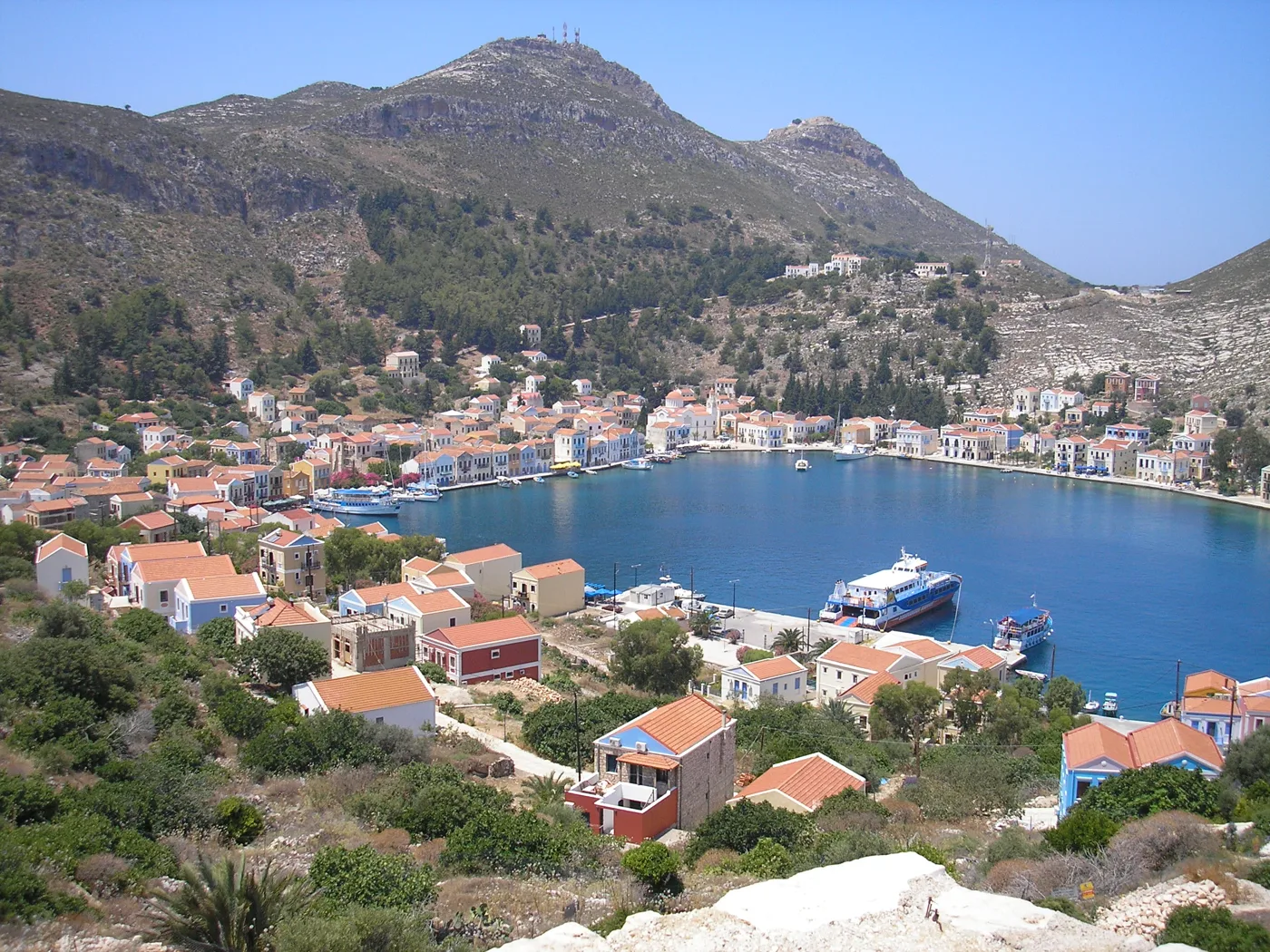
The harbour, enclosed like a lake.
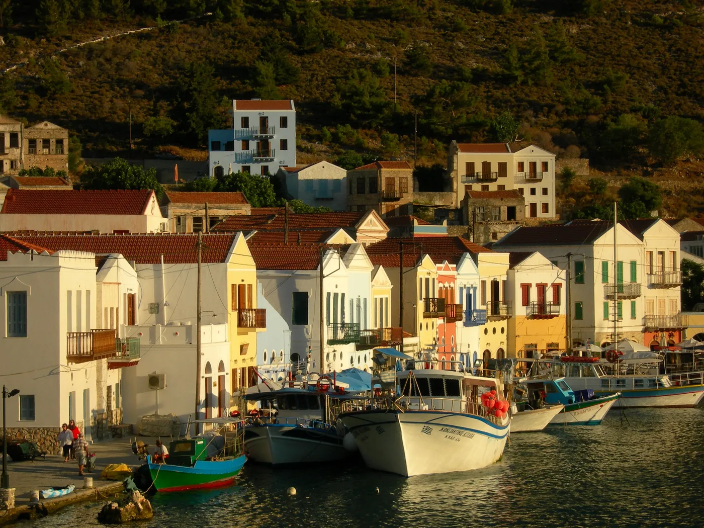
Boats and cafés.
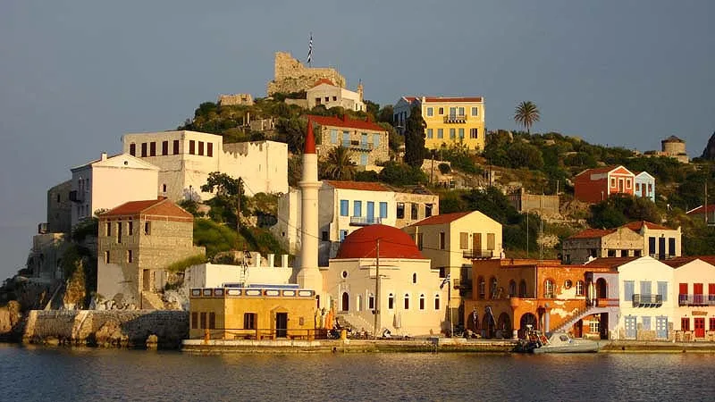
The mosque and the mansions.
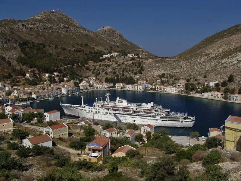
The link with the world.
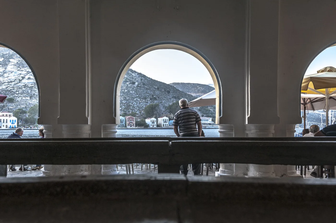
Arches above the water.
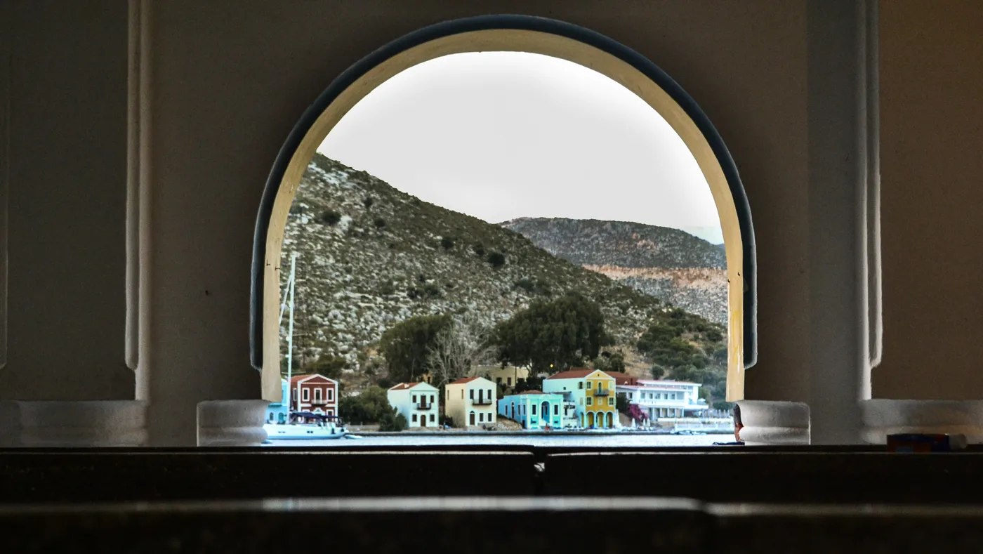
A frame for the harbour.
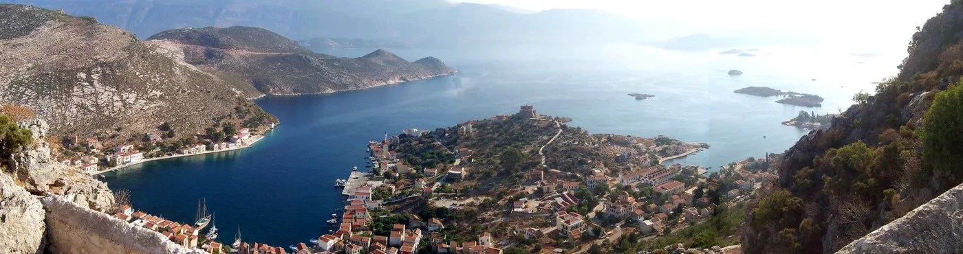
The harbour and the coast opposite.
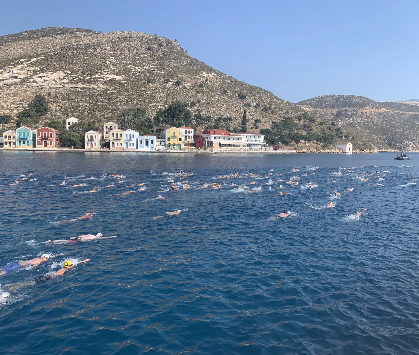
Diving off the waterfront.
Photos: Antonios Petropoulos (CC BY-SA 4.0), Ellogon (CC BY-SA 4.0), Cyverius (Attribution), Plamen Matanski (CC BY-SA 4.0), Thanasis Christodoulou (CC BY-SA 4.0), 1point8 (CC BY-SA 4.0), Papoutsis Travel (CC BY-SA 3.0), Camcool11 (CC BY-SA 4.0) · Wikimedia Commons
💙 The Blue Cave
On the south coast opens the Blue Cave, or Fokiali, one of the largest sea caves in the Mediterranean. The entrance is so low that you can only get in by small boat, ducking your head. Inside, the light that passes under the water makes the whole cave glow an intense blue. Boats leave the harbour every morning and usually stop for a swim inside the cave.
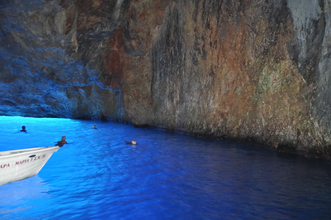
The water glows blue.
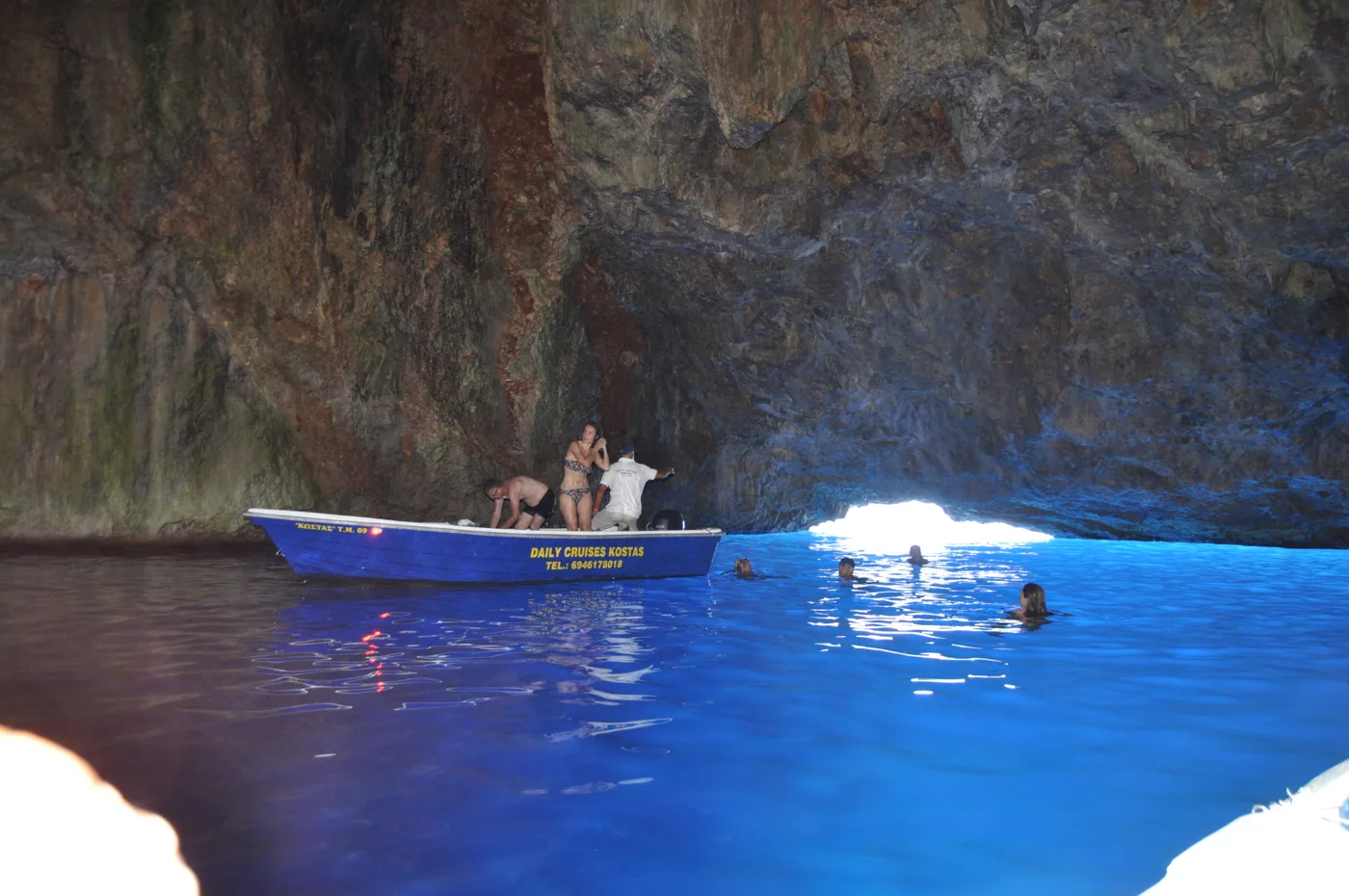
A swim in the blue.
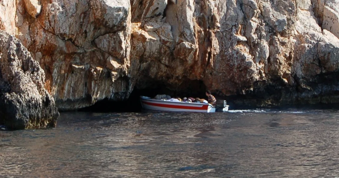
Only by small boat.
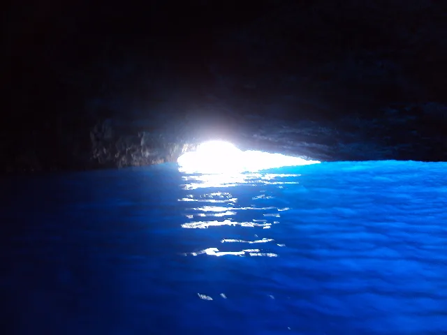
Stronger in the morning.
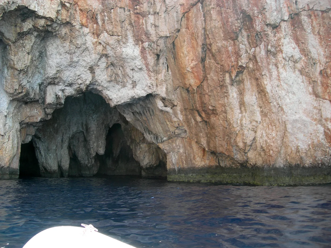
The coast is full of caves.
Photos: Ioannis Fakis (CC BY-SA 4.0), V-astro (Public domain), Eleni Sarkiri (CC BY-SA 4.0), Ellogon (CC BY-SA 4.0) · Wikimedia Commons
The blue is most intense early in the morning, when the sun is low and the sea is calm. With waves the boat cannot get in, so ask at the harbour the day before.
🏰 The castle and history
On a red rock next to the harbour stand the ruins of the 14th-century castle of the Knights of Saint John. Because of the red colour of the rock, the Italians called it Castello Rosso, and that is where the island got its name. From the top you see the whole harbour. Right below lies the Lycian tomb, carved into the rock in the 4th century BC, with columns on its façade, the only tomb of its kind in Greece.
On the harbour, the Historical Collection shows the life of the island, photographs from its golden years and the great fire of 1944. Up on the plateau, about four hundred steps from the village, are Palaiokastro, the ancient acropolis, and the monastery of Agios Georgios tou Vounou, with views over the whole island.
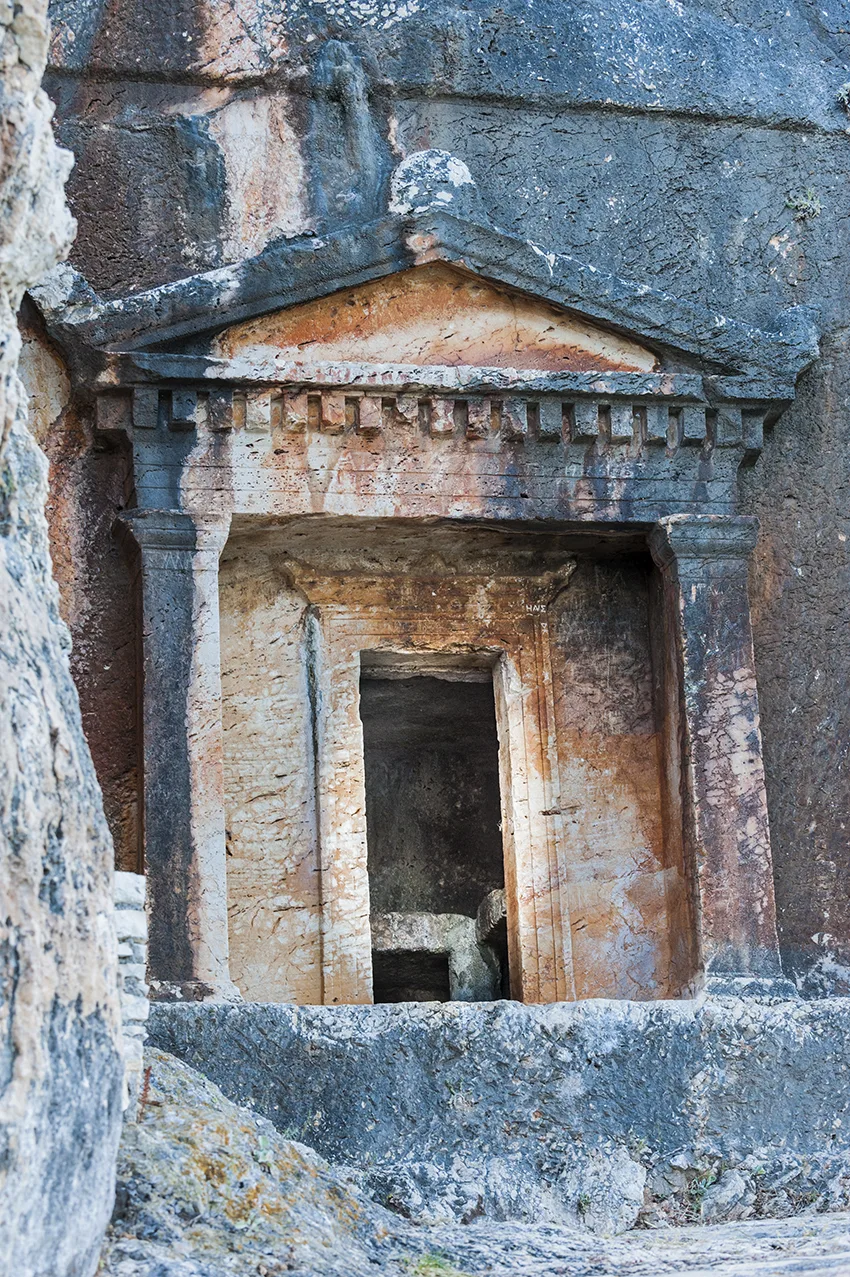
Carved into the rock.
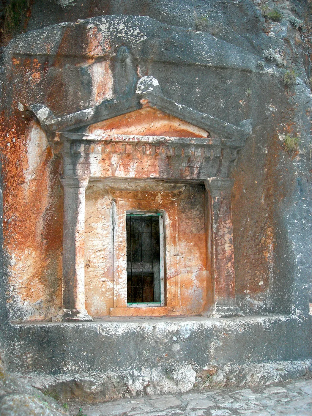
The only one in Greece.
The life of the island.
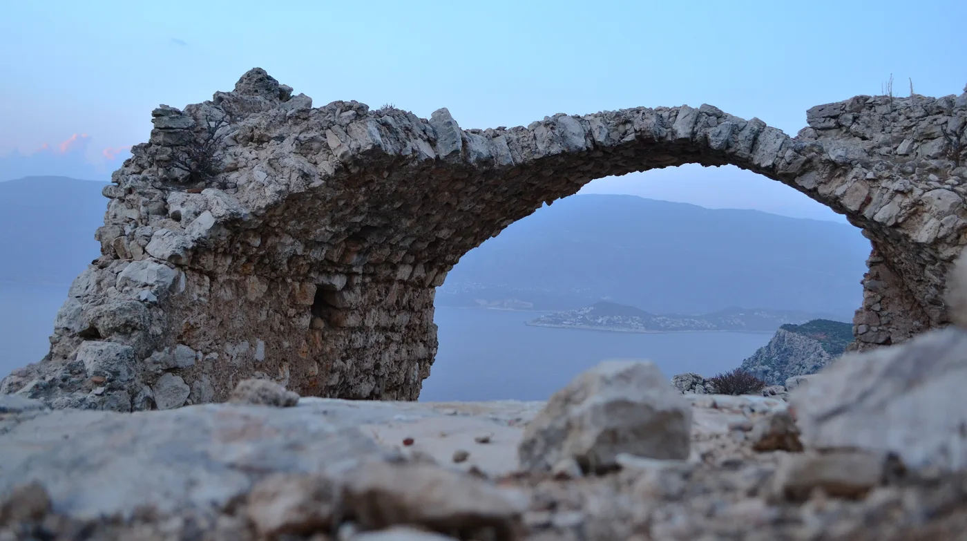
The ancient acropolis.
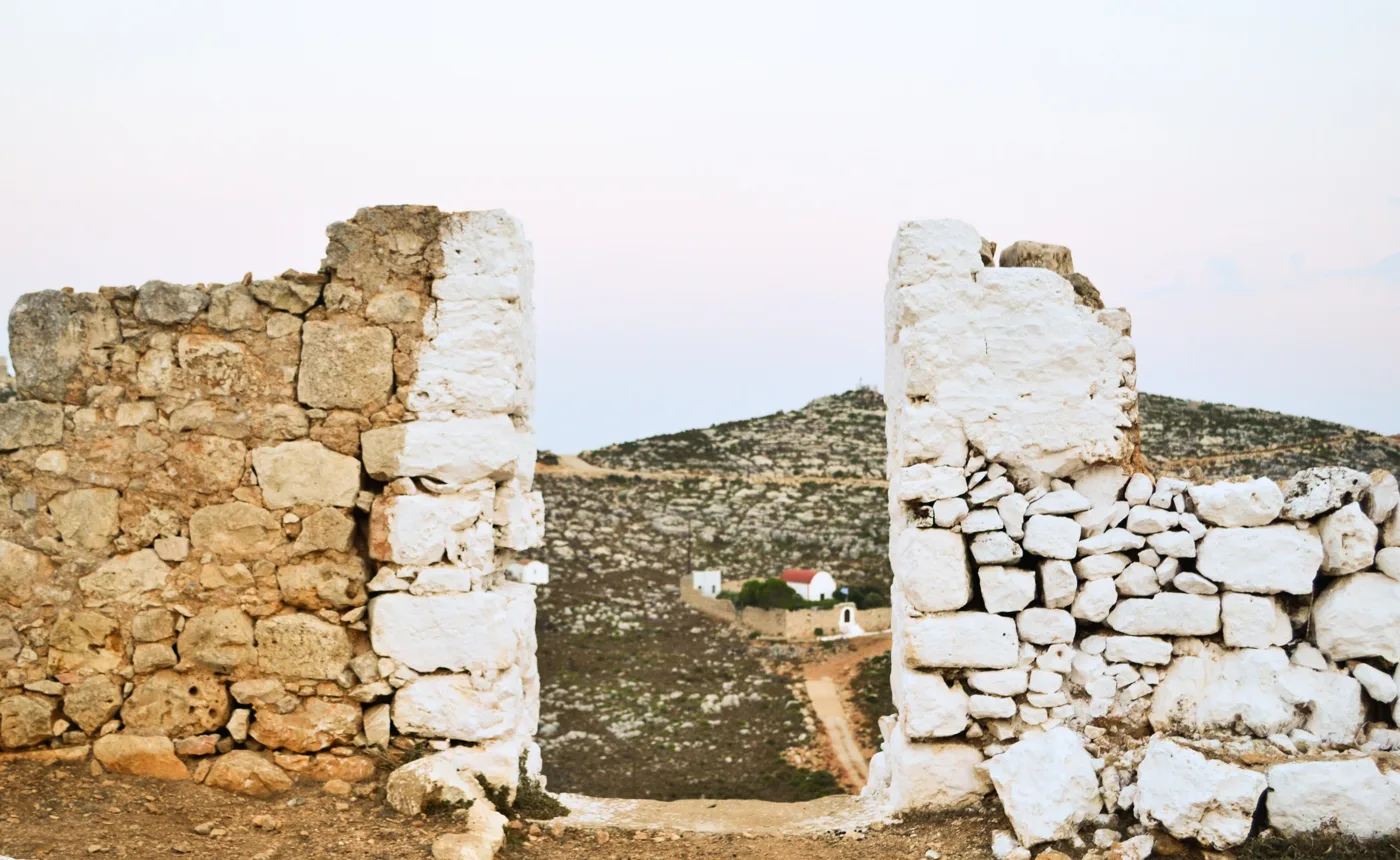
Stones from antiquity.
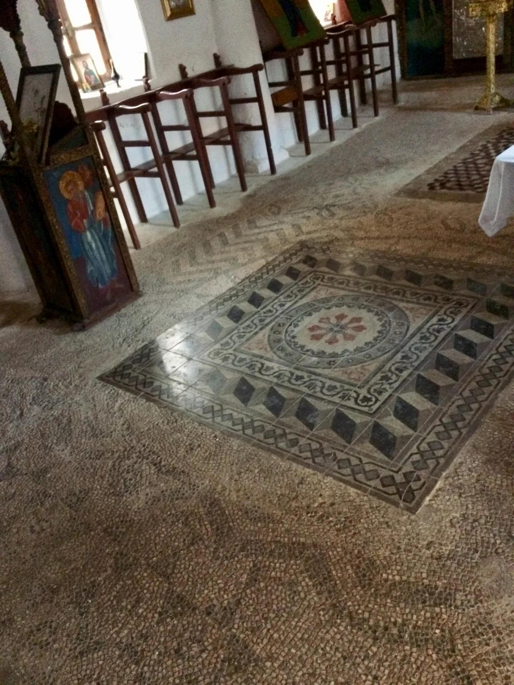
The monastery on the plateau.
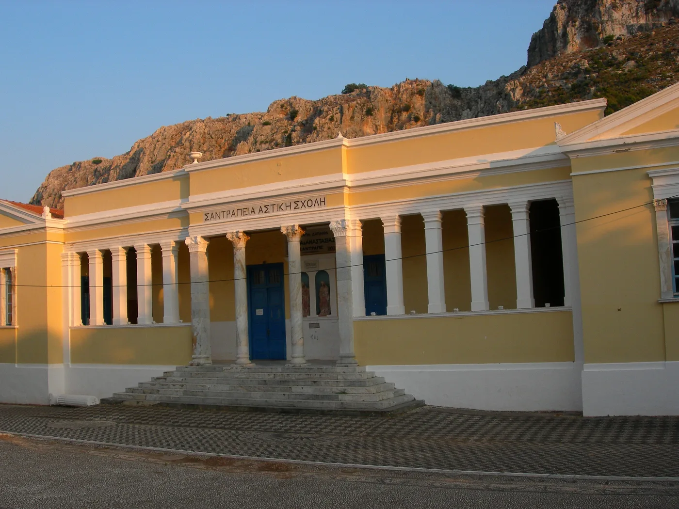
From the golden years.
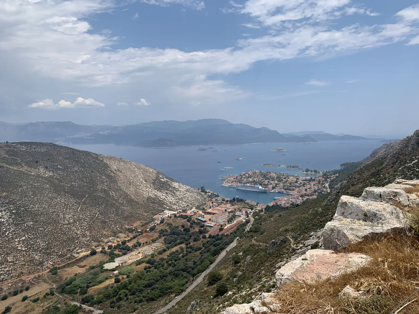
The view from the paths.
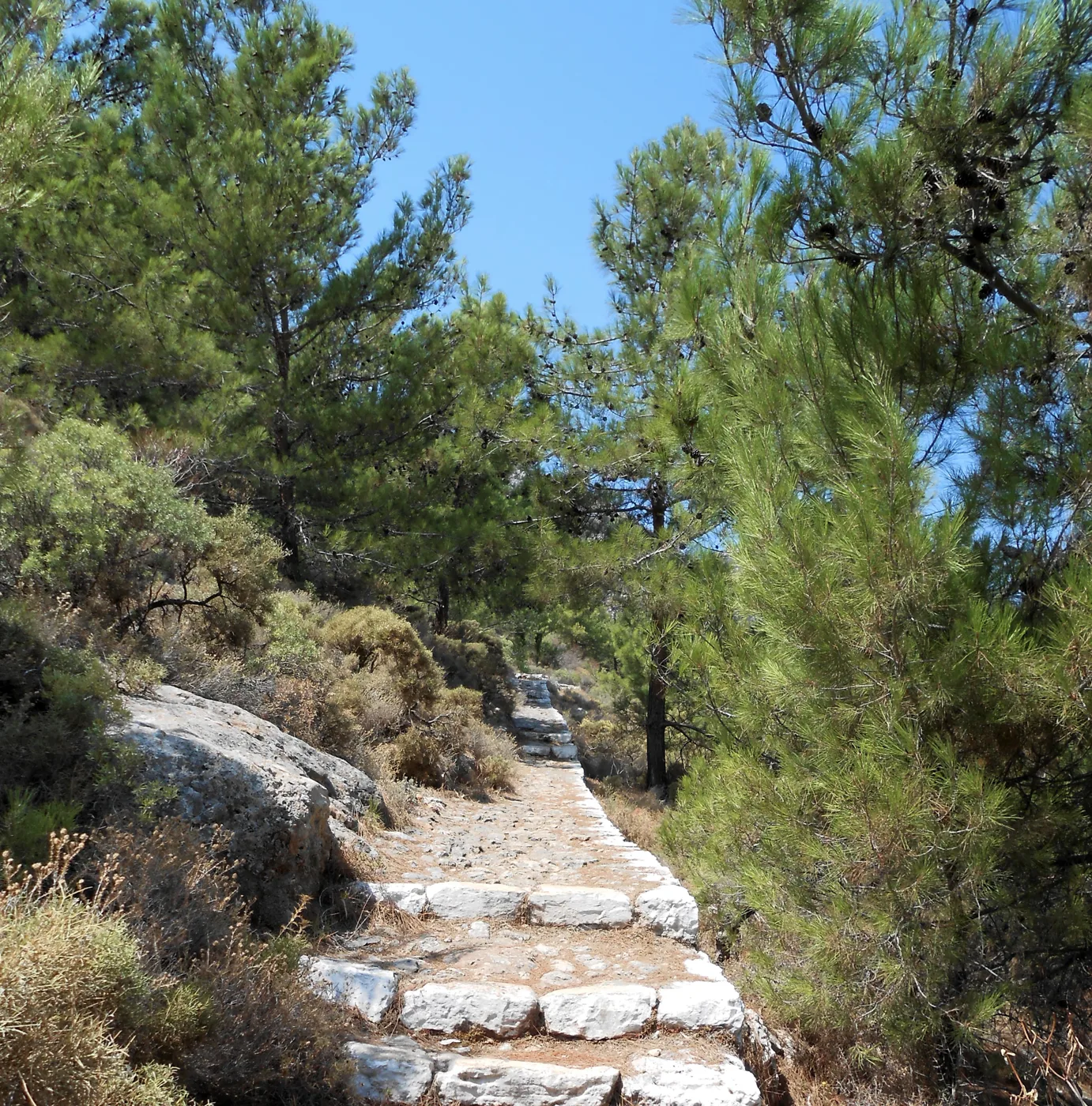
Steps up to the plateau.
Photos: Thanasis Christodoulou (CC BY-SA 4.0), Ellogon (CC BY-SA 4.0), Sp!ros (CC BY-SA 4.0), 1point8 (CC BY-SA 4.0), Camcool11 (CC BY-SA 4.0), Enpatrais (CC BY-SA 4.0) · Wikimedia Commons
🏝️ The islets
Around Kastellorizo there are small islets you can tour by boat. Agios Georgios, opposite the harbour, has a small beach and is ideal for a swim. Ro, to the west, is known for the Lady of Ro, a woman who lived there alone and raised the Greek flag every day for decades. Strongyli, to the southeast, with its lighthouse, is the easternmost point of Greece.
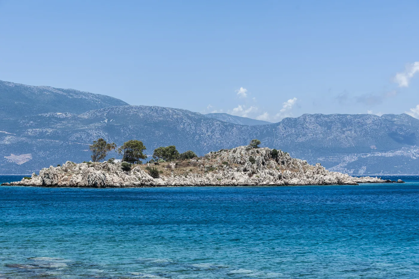
An islet with a small beach.
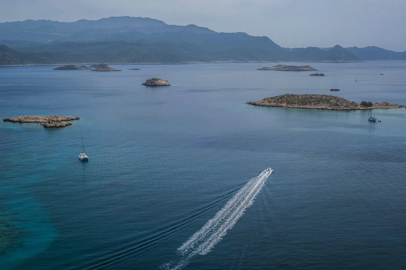
A boat trip.
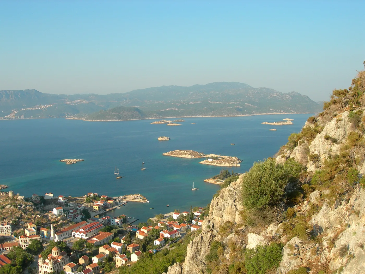
The sea around the harbour.
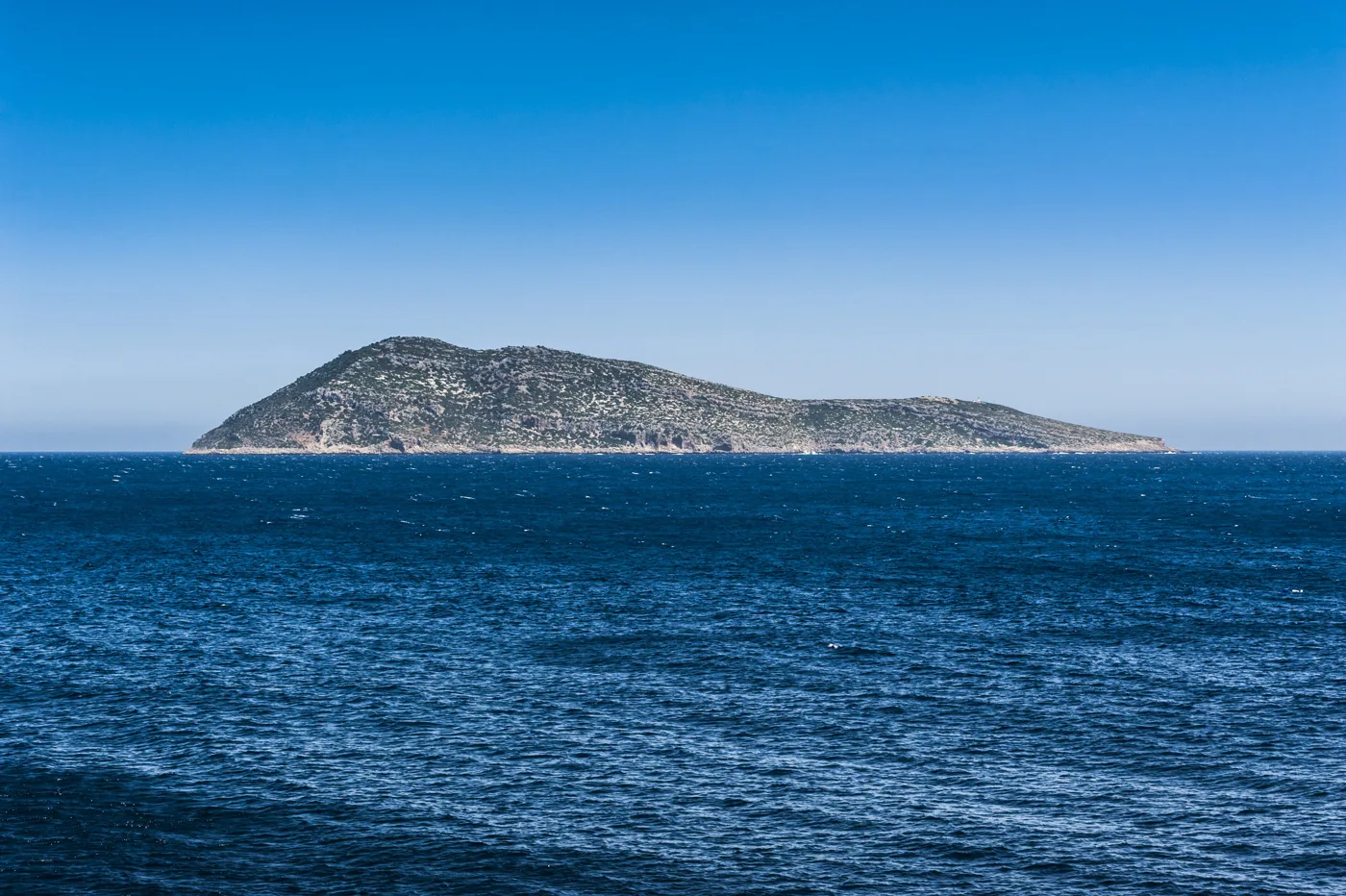
The easternmost point of Greece.
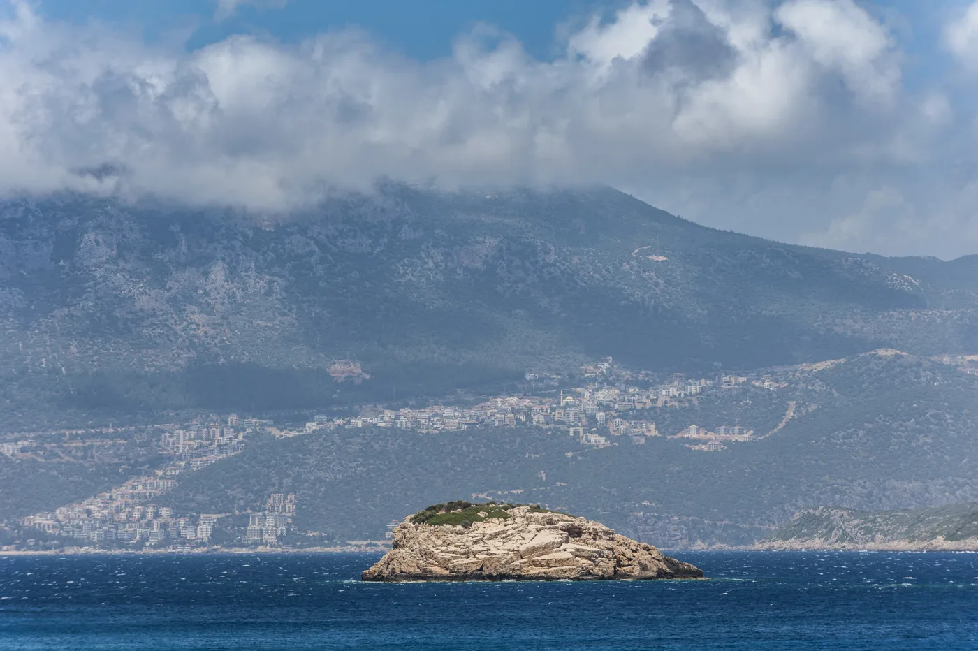
Rocks in the sea.
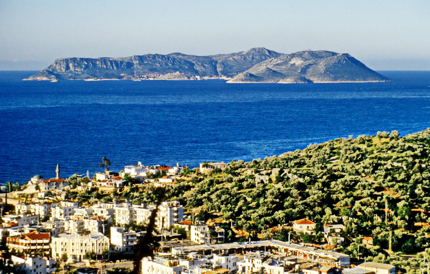
The island, from the opposite coast.
Photos: Thanasis Christodoulou (CC BY-SA 4.0), Ellogon (CC BY-SA 4.0), Volker Höhfeld (CC BY-SA 4.0) · Wikimedia Commons
- Waterfront: diving off the little ladders, in the harbour.
- Mandraki: quiet rocks, behind the castle.
- Blue Cave: a swim inside the cave, by boat.
- Agios Georgios: an islet with a small beach, by boat.
🍽️ What to eat
In the harbour tavernas you will eat fresh fish, octopus, squid and lobster spaghetti, with your feet almost in the water. Try the local sweets, strava, fried strips of dough with honey, and katimeria, thin pastry sheets with honey and cinnamon. In the morning, have a coffee on the waterfront and watch the boat leave for the cave.
📅 When to go
May, June and September are the best months, with a warm sea and a calm harbour. In July it gets very hot, and in August the few places to stay fill up. In winter the island is empty and the weather often stops the ferries.
✈️ How to get there from Athens
| How | Duration | From | Notes |
|---|---|---|---|
| Plane via Rhodes | About 1 hour to Rhodes, plus a short flight | Athens airport | The fastest option. The small plane has few seats. |
| Plane and ferry | About 1 hour to Rhodes, plus 4 to 5 hours by ferry | Athens airport | Fly to Rhodes and take the ferry. |
| Ferry from Piraeus | More than a day | Piraeus | Few sailings, only for those with time. |
From Ioulianou 50, Athens airport is an hour on metro Line 3. Book flights and accommodation early, as places are few. You don’t need a car on the island: everything is on foot or by boat. For a trip to Kaş you will need a passport or an ID card. Kastellorizo combines well with Rhodes: see also our guide to Rhodes.
🗓️ Three days on Kastellorizo
The harbour and the castle
Walk the whole harbour, from the Agora to Mandraki. Climb up to the castle for the view, go down to the Lycian tomb, and see the Historical Collection. In the afternoon, dive off the waterfront, and in the evening have fish right on the water.
The Blue Cave and the islets
Early in the morning take a boat to the Blue Cave, when the light is at its most intense. Carry on with a tour of the islets and a swim at Agios Georgios. If the weather allows, go as far as Ro and Strongyli.
The mountain or Kaş
Climb the steps to Palaiokastro and the monastery of Agios Georgios tou Vounou, for views over the whole island. Or cross by boat to Kaş, opposite, for a stroll and a meal, with your passport or ID card.
Frequently asked questions
Where should I stay on Kastellorizo?
On the harbour, in one of the old mansions, so that the sea is right below your window. In Mandraki, for more quiet. There is no other option on the island, and rooms are few.
Are there beaches on Kastellorizo?
Not sandy ones. You swim from the waterfront and the rocks, at Mandraki, inside the Blue Cave and on the islet of Agios Georgios, where there is a small beach.
Can I go to Kaş in Turkey?
Yes. Boats cross in about twenty minutes, and many people make a day trip. You will need a passport or, for EU citizens, an ID card is often enough. Check the rules in advance.
How many days do I need?
Two to three days are enough for the harbour, the castle, the Blue Cave and the islets. Four if you want to climb the mountain and cross to Kaş.
— Kathy