🪪 The island at a glance
📍 Where it is
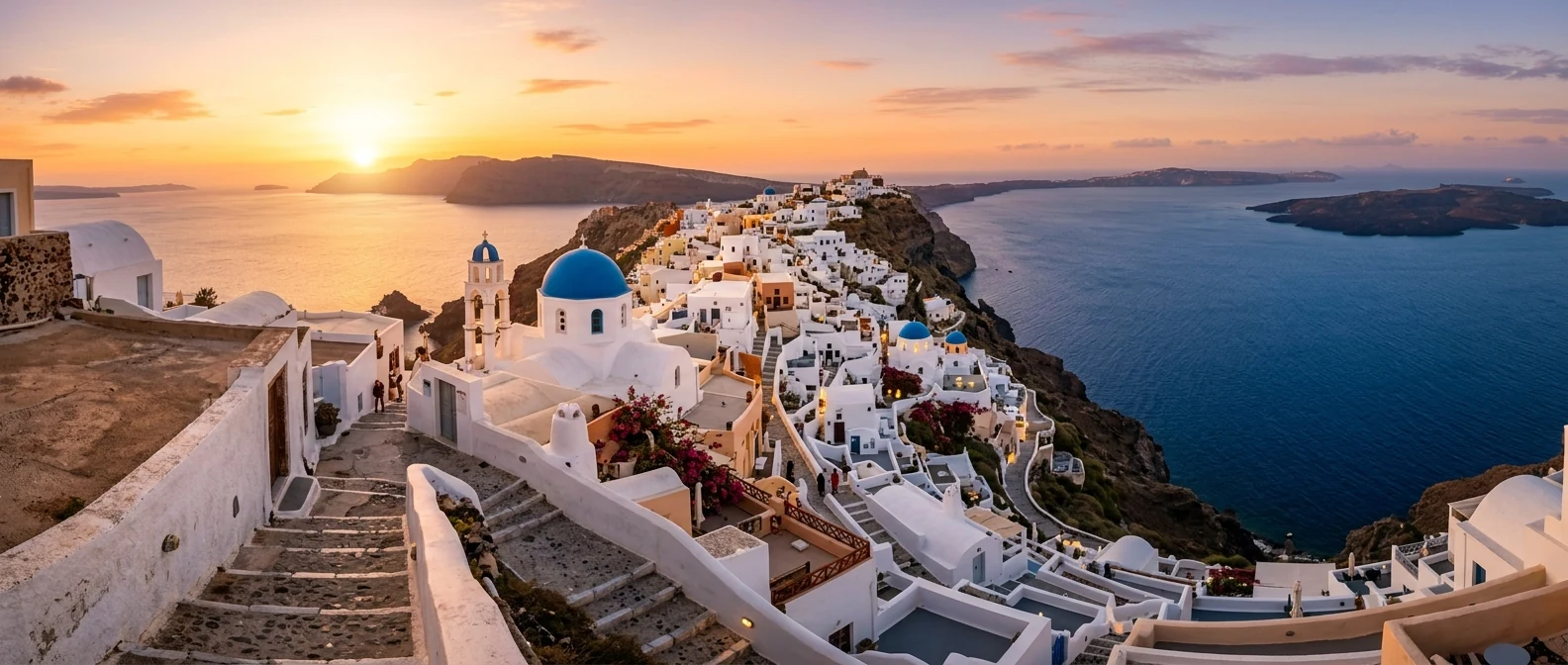
Thirasia lies in the Cyclades, on the western side of the caldera of Santorini, and belongs to Santorini. A narrow channel separates it from Oia, and the little boat from Ammoudi takes only a few minutes. Until the Minoan eruption, around 1600 BC, Thera and Thirasia were one island.
📍 Where Thirasia is
Thirasia lies in the Cyclades, on the western side of the Santorini caldera, opposite Oia. The island is shown in red, and in green are Piraeus and Athinios, the port of Santorini, where the boats come from.
🗺️ The map of the island
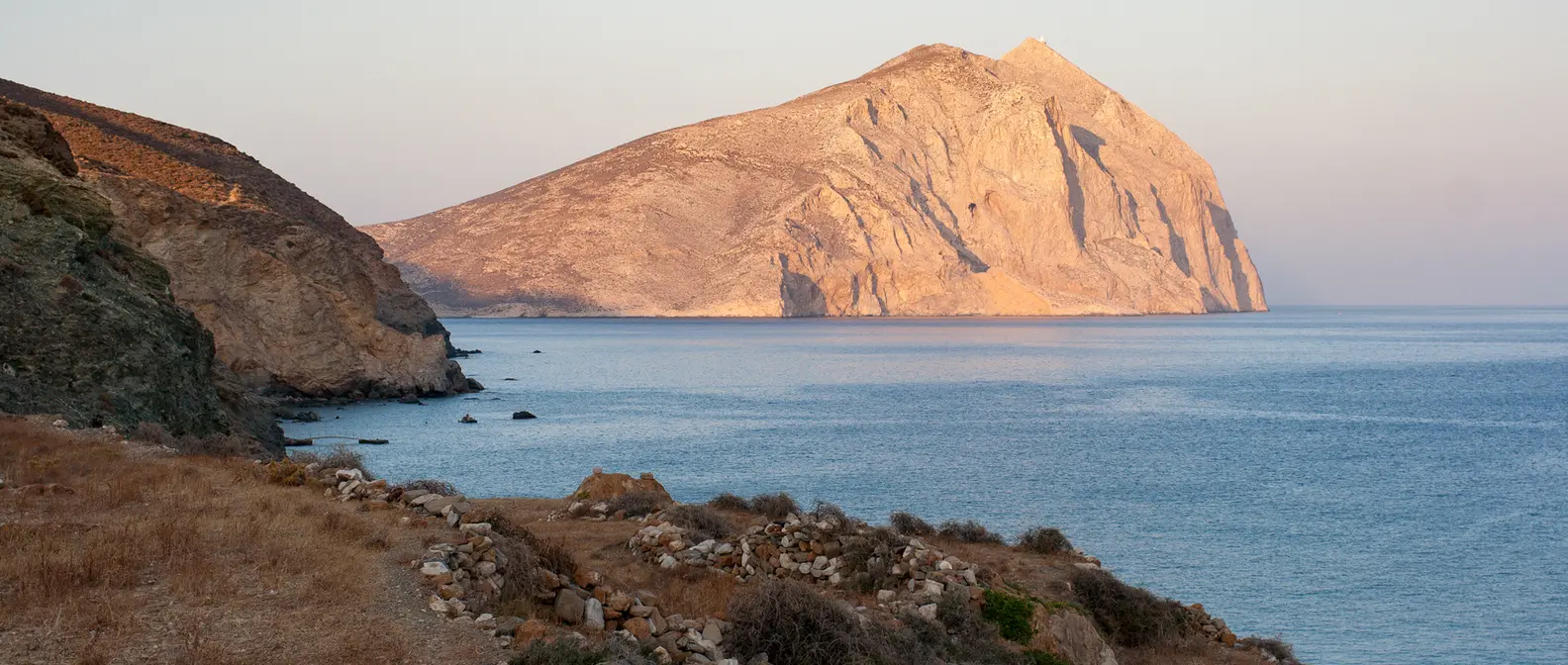
Thirasia is about 6 kilometres long. The east coast is a high cliff above the caldera, while the west side slopes gently down, with fields, terraces and vineyards. The largest village is Manolas, on the edge of the cliff, and below it lies the little harbour of Korfos. The regular ferries call at Riva, in the north. The highest peak, Viglos, reaches about 295 metres.
🗺️ Map of Thirasia
Thirasia is shaped like a crescent moon. Its east side is the cliff of the caldera, with Manolas on top and Korfos below. The west side slopes gently down to the sea, with Potamos, Agrilia and, in the north, Riva. Tap each number to see what it is.
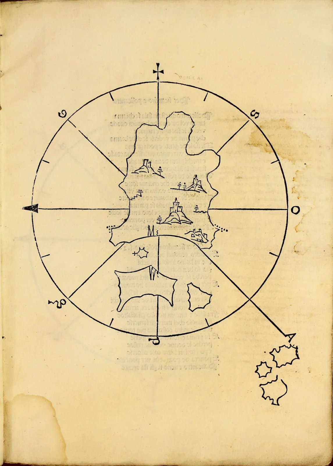
Map: Bartolomeo dalli Sonetti, Biblioteca de la Universidad de Sevilla (CC BY 2.0) · Wikimedia Commons
⚖️ Is it worth it? The pros and cons
Thirasia is worth it for anyone who wants to see the caldera from the other side, quietly. Here is an honest picture.
📊 At a glance, from 1 to 5
👍 The pros
- The caldera and Santorini opposite, without the crowds.
- Manolas, a real village on the edge of the cliff.
- Fish at the tavernas of Korfos, right by the water.
- An easy day trip from Oia.
- Very quiet nights, once the boats have left.
👎 The cons
- Few beaches, and not special ones.
- An uphill climb with steps from Korfos to Manolas.
- Few rooms and few shops.
- Boat schedules to the island change and need checking.
🏘️ Manolas
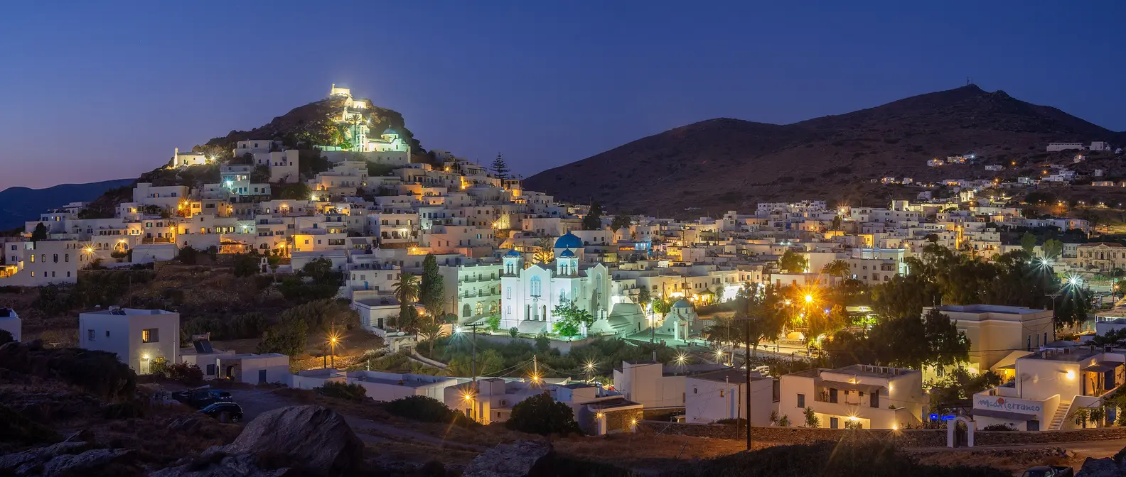
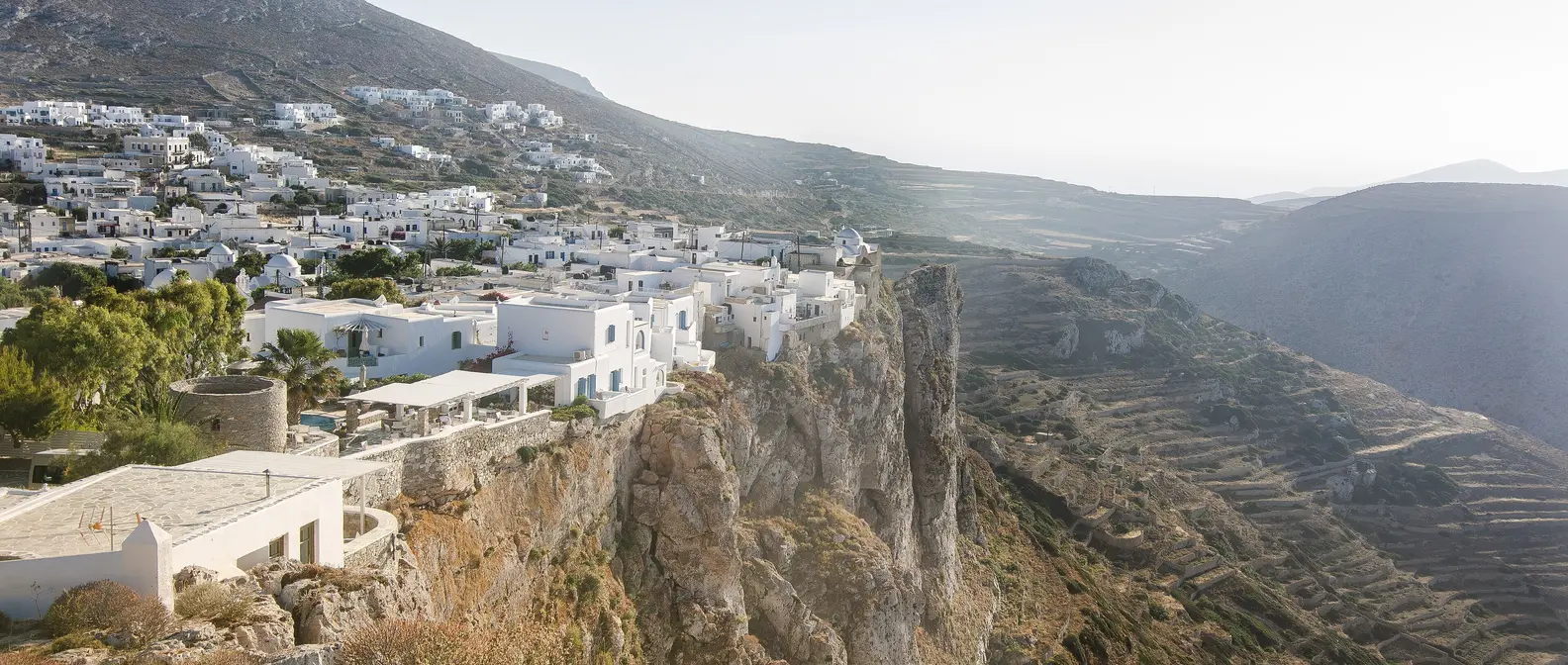
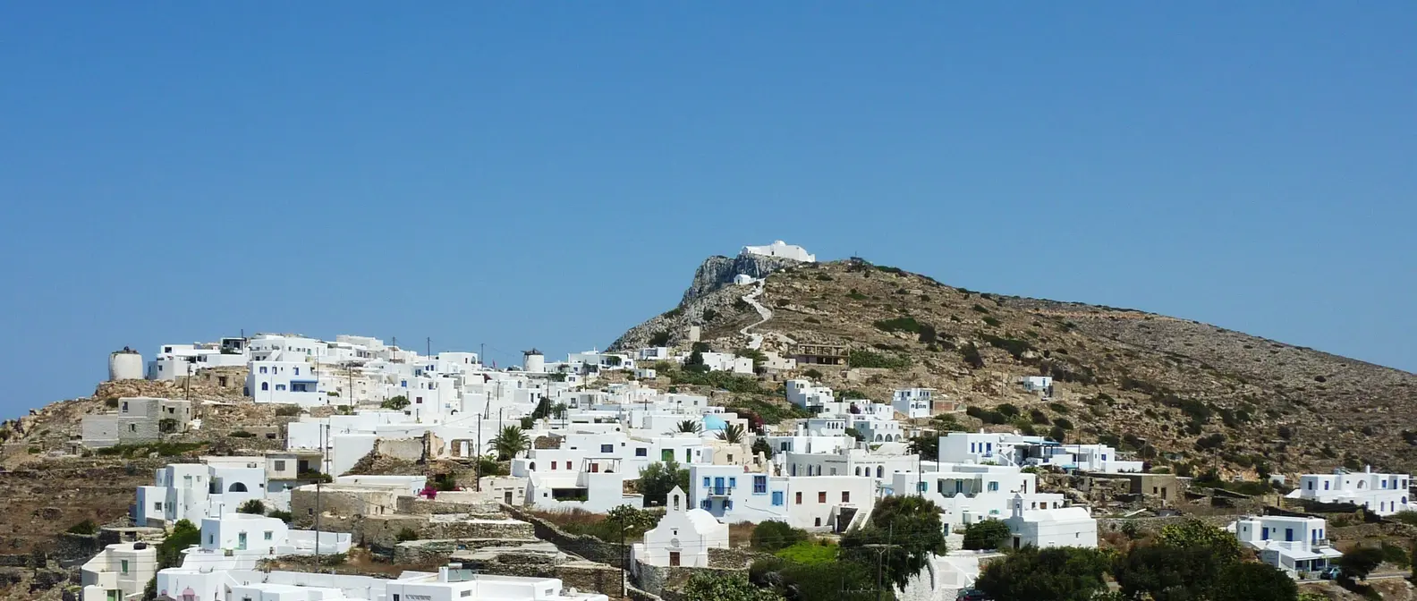
Manolas is the main village, home to about half of the island’s residents. Its white houses spread along the rim of the caldera, with one long alley, churches with blue domes, a few tavernas and cafés. From here you see Fira, Imerovigli and Oia opposite, and in the afternoon the sun lights them all up.
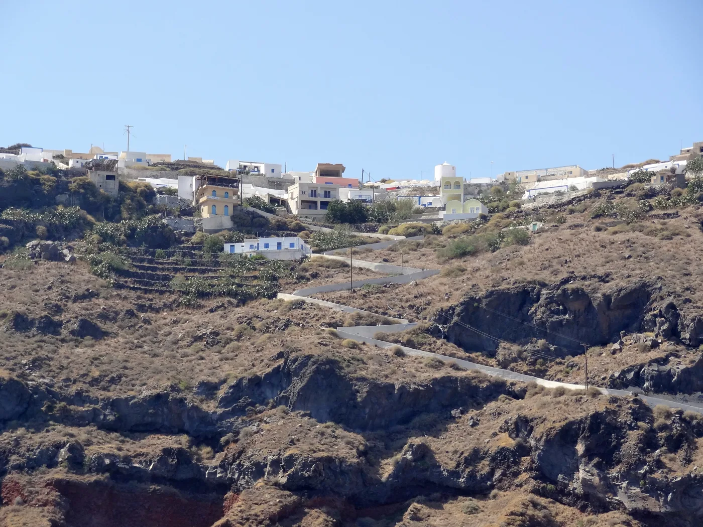
On the rim of the caldera.
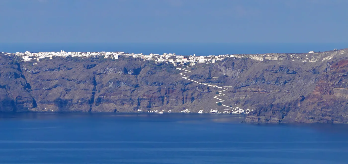
Manolas from Santorini.
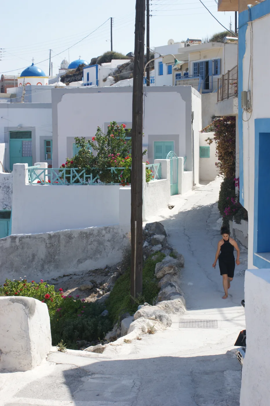
The main street of the village.
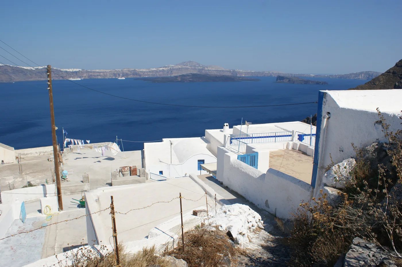
Santorini opposite.
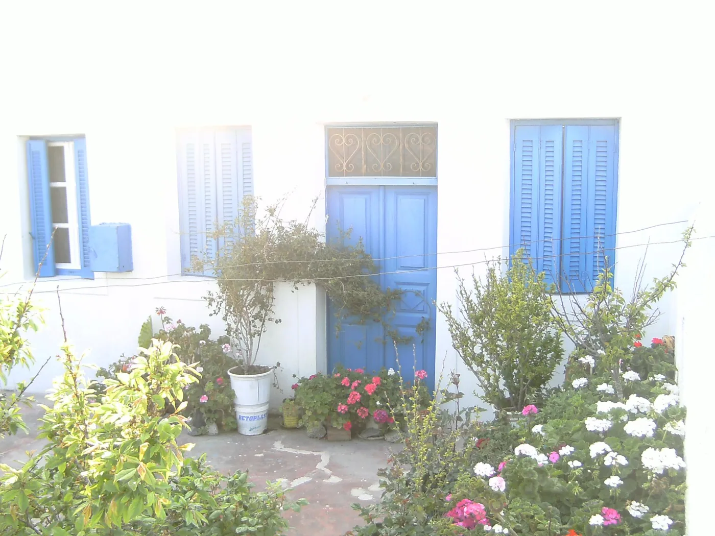
A house in Manolas.
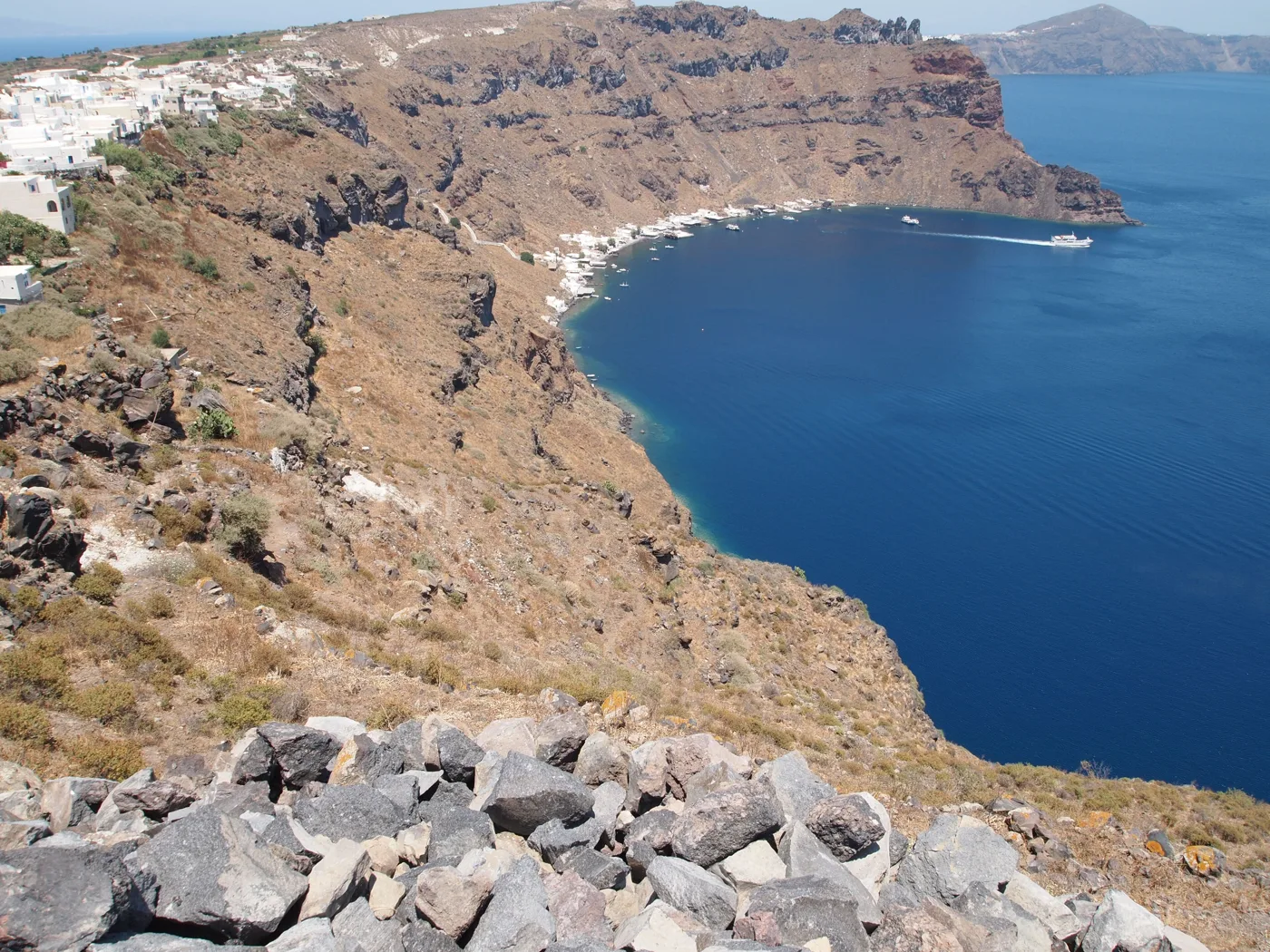
Korfos from above.
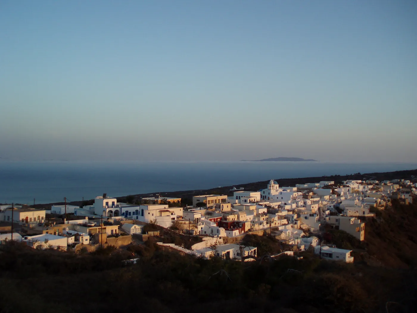
The time when the little boats leave.
Photos: Olaf Tausch (CC BY 3.0), Bernard Gagnon (CC BY-SA 3.0), Albinfo (CC BY-SA 3.0), Elpida Papanikolaou (Public domain), .anom (CC BY 3.0), Julia.Fragouli (CC0) · Wikimedia Commons
⚓ Korfos
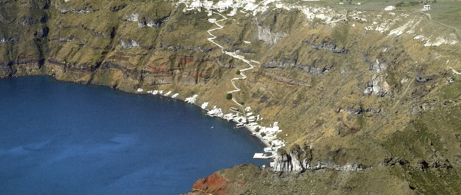
Korfos is the little harbour below Manolas, with fishing boats, small vaulted fishermen’s huts and tavernas over the water. This is where the little boats from Oia and the caldera excursion boats tie up. A stepped zigzag path climbs up to the village in about twenty minutes uphill. Take water and set off before midday.
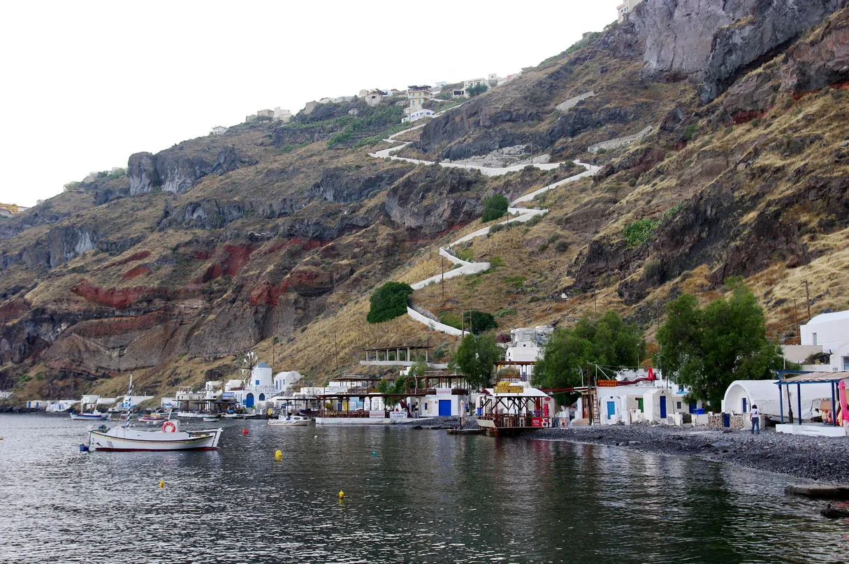
The path to Manolas.
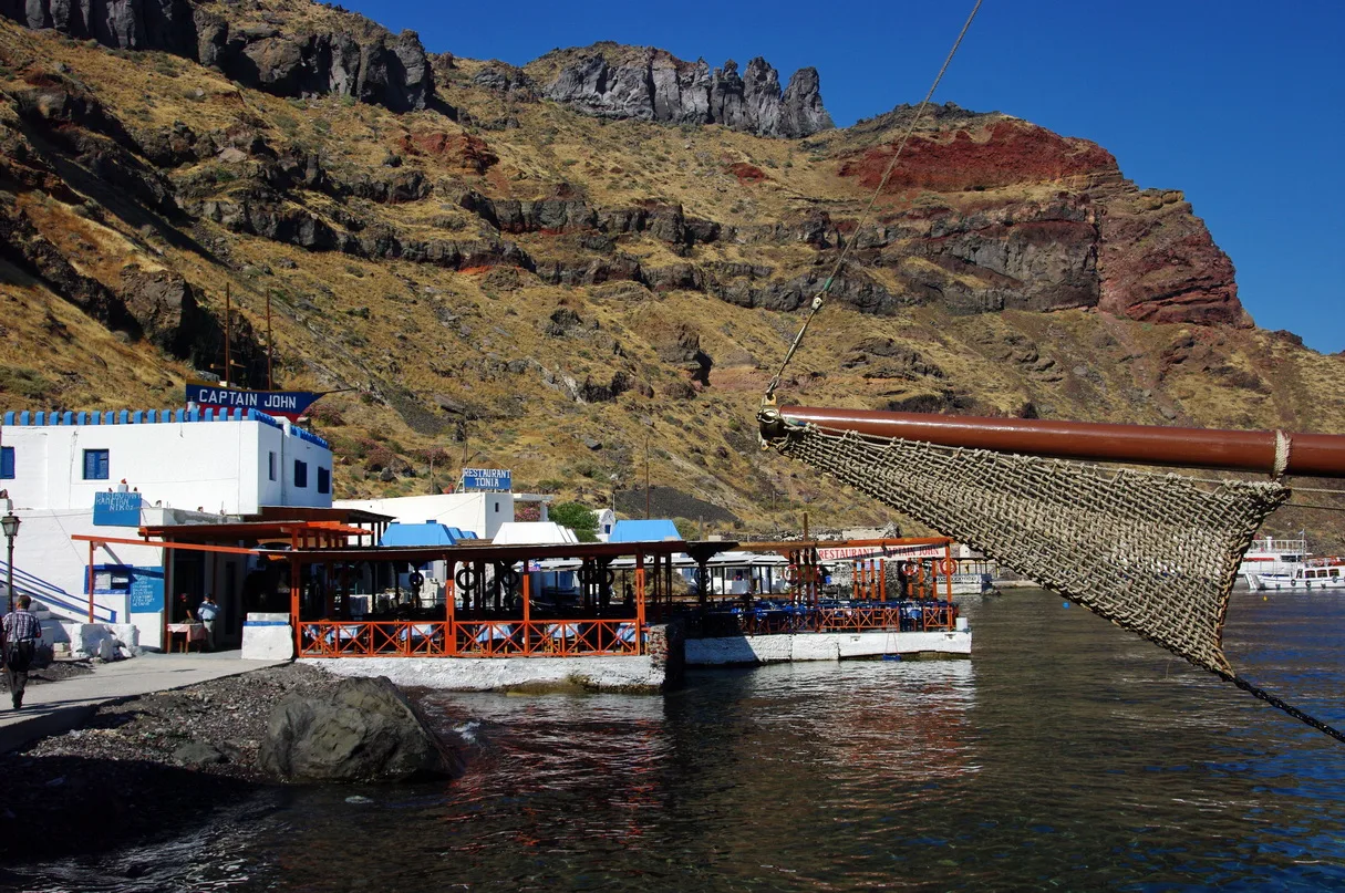
Fish by the waves.
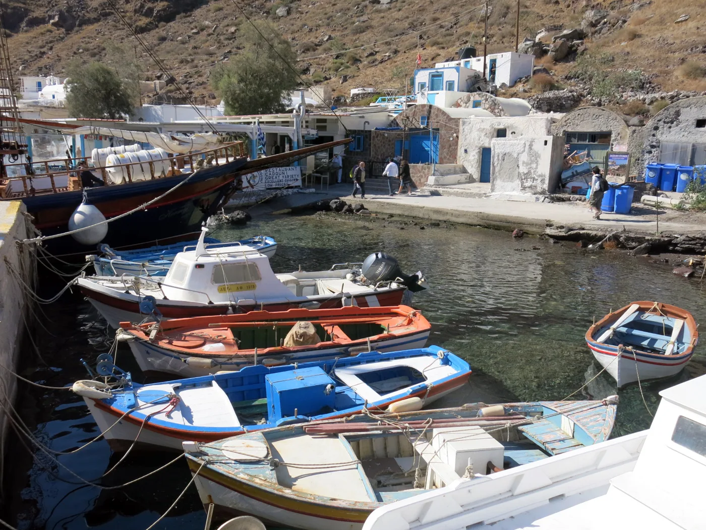
The little harbour.
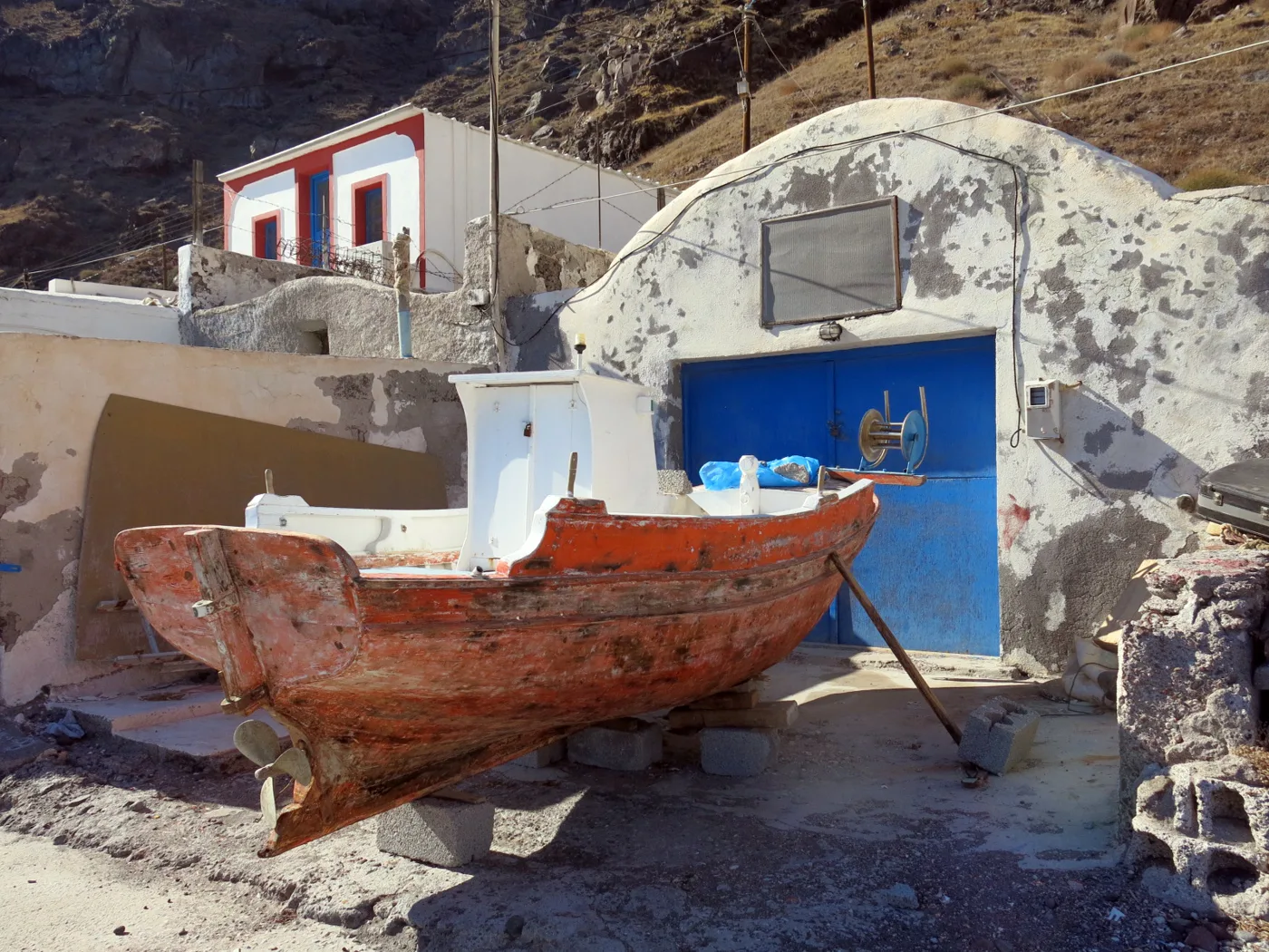
On dry land.
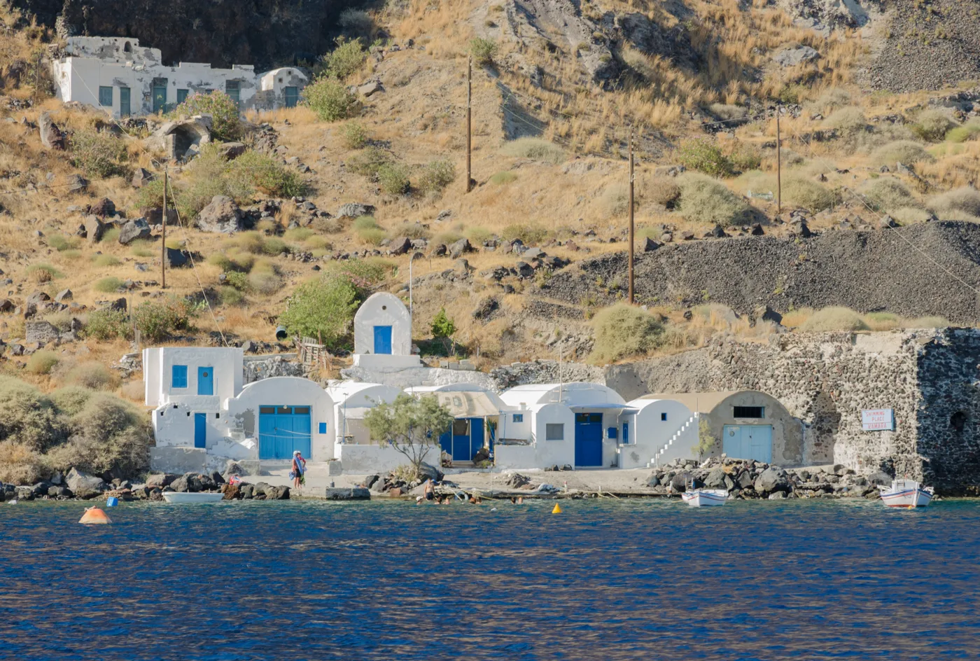
The boat sheds of Korfos.
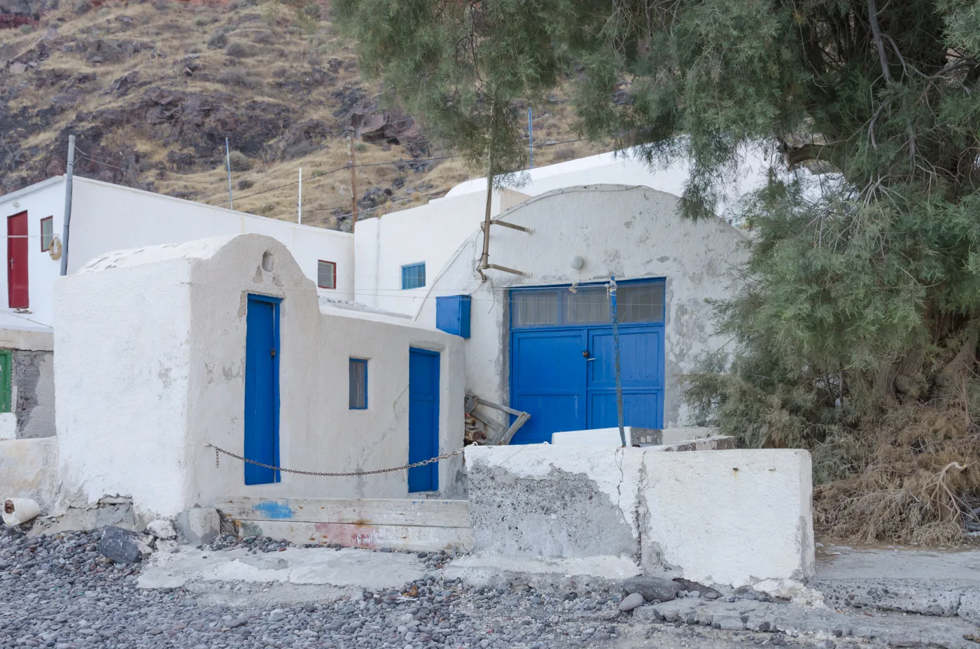
Blue and green.
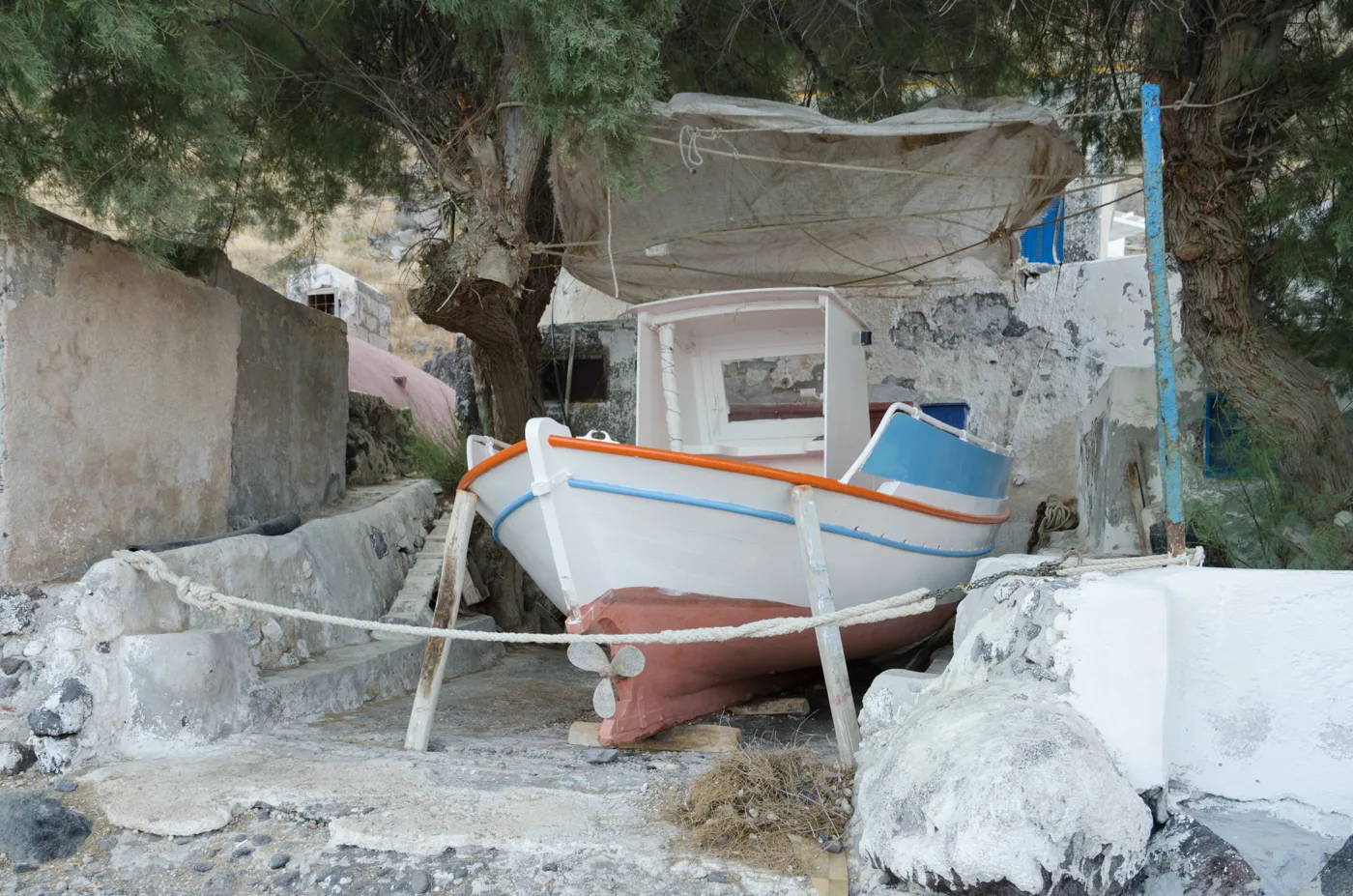
Under the tamarisk.
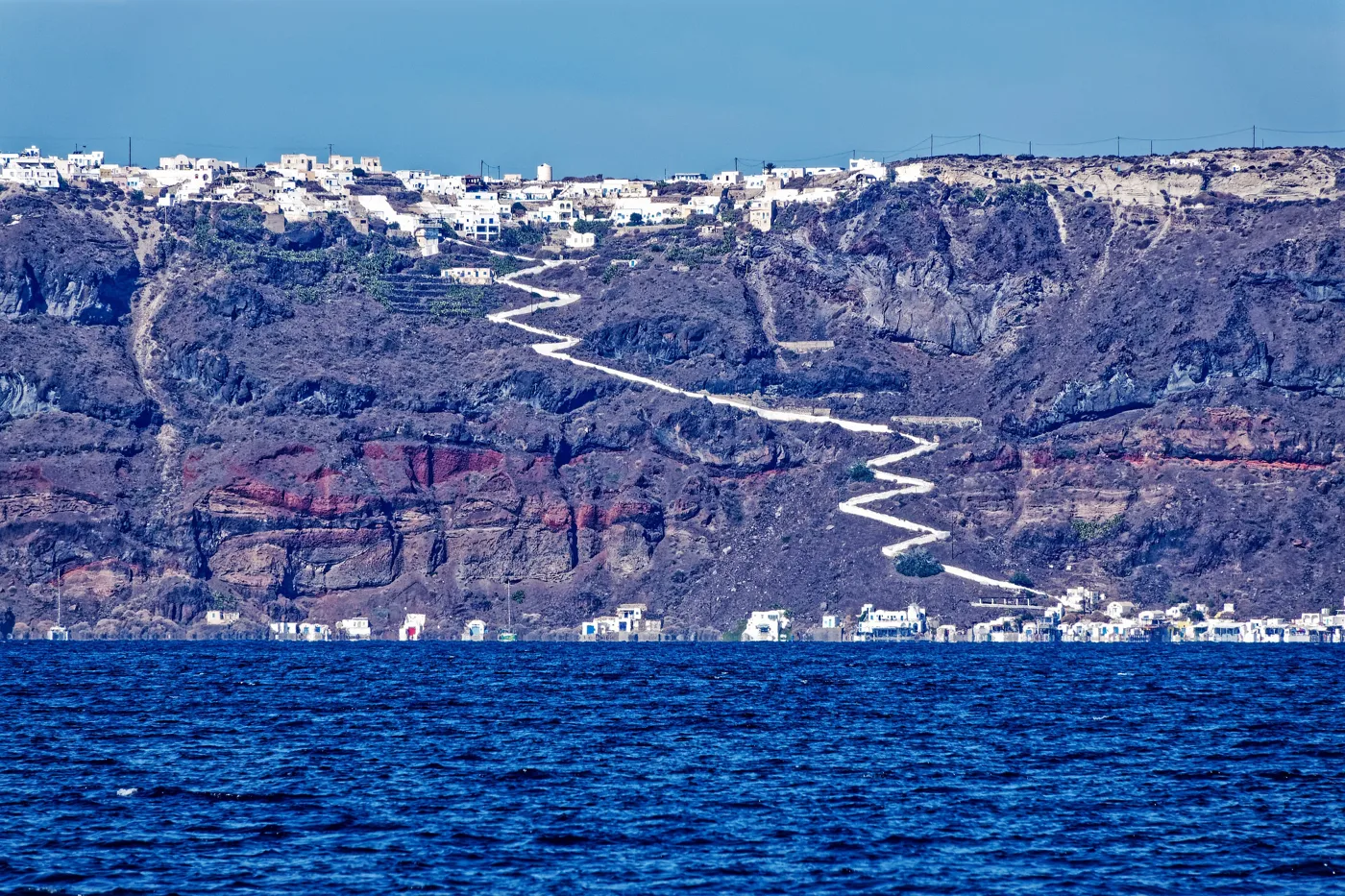
From the harbour to the village.
Photos: Bgabel (CC BY-SA 3.0), Enric (CC BY-SA 4.0), Norbert Nagel (CC BY-SA 3.0), Holger Uwe Schmitt (CC BY-SA 4.0) · Wikimedia Commons
🌋 The caldera from the other side
The cliff of Thirasia is the same as Santorini’s: layers of black and red lava, topped by a thick layer of white pumice from the Minoan eruption. In the 19th century, while pumice was being quarried for the Suez Canal, houses of a prehistoric settlement buried by the eruption were found in the south of the island, before Akrotiri was even excavated. From a boat, the rocks at Cape Simandiri clearly show the colours of the volcano.
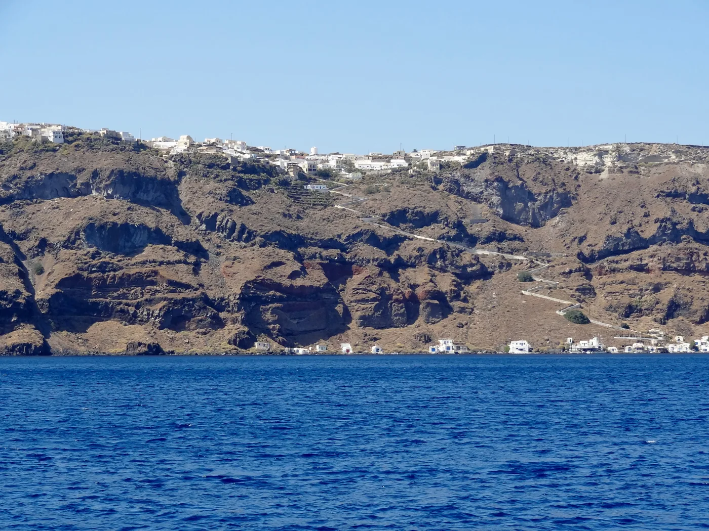
The caldera from the sea.
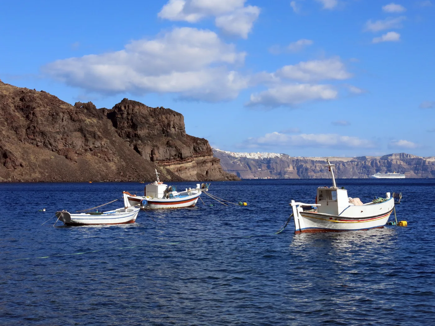
Oia in the distance.
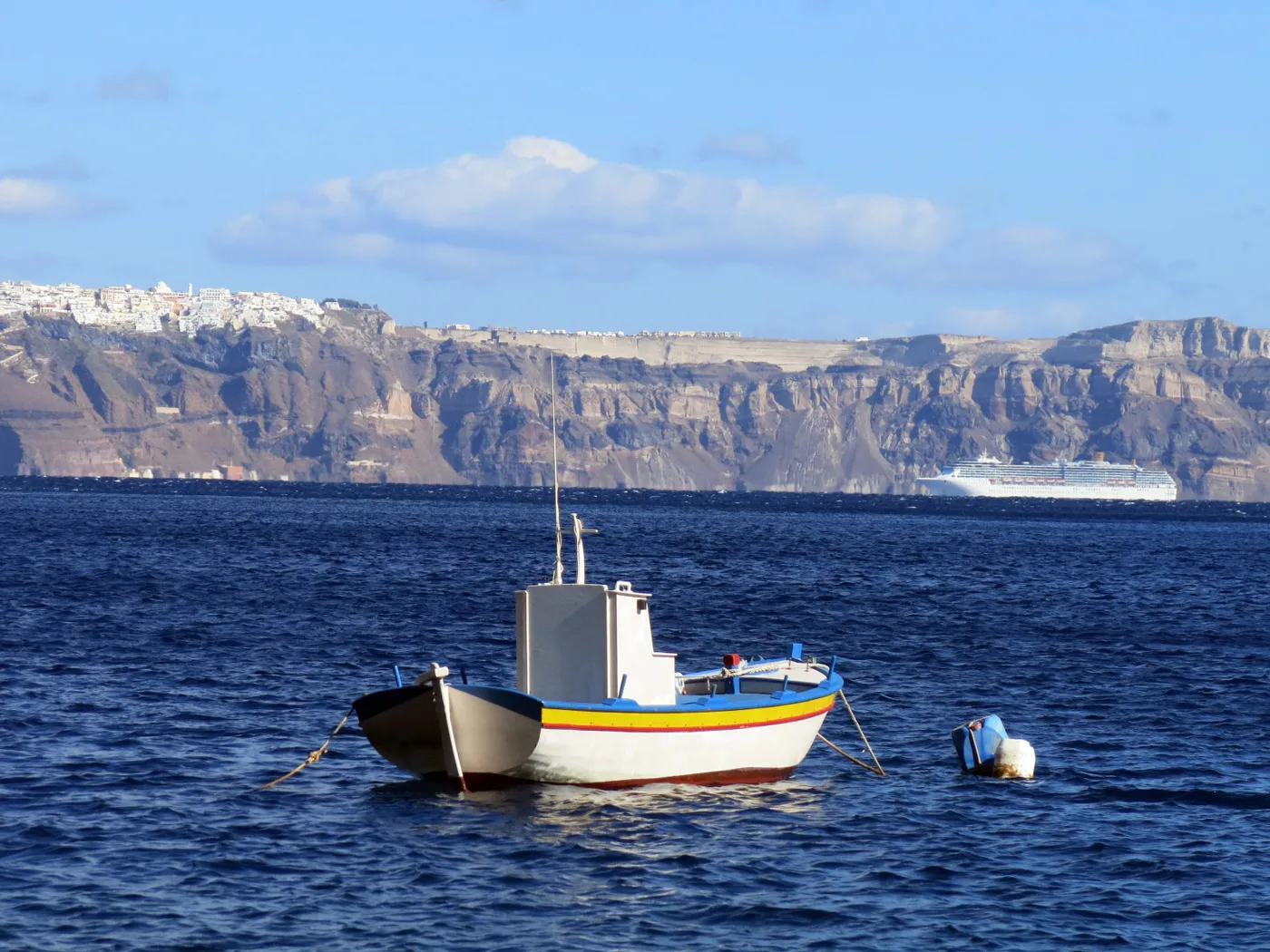
The view from Korfos.
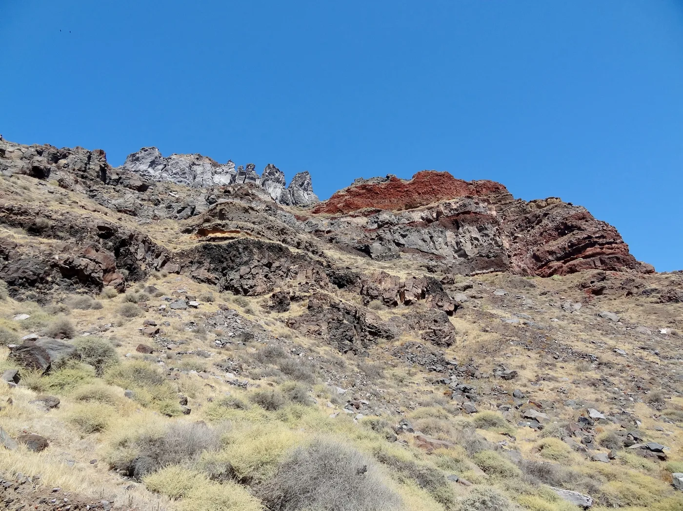
History written in the rock.
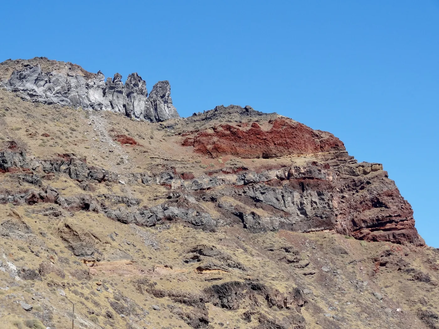
Lava from old eruptions.
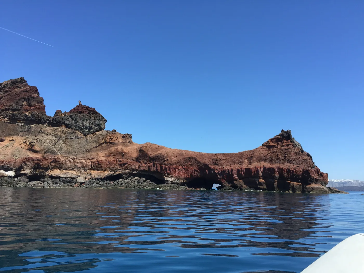
From the boat.
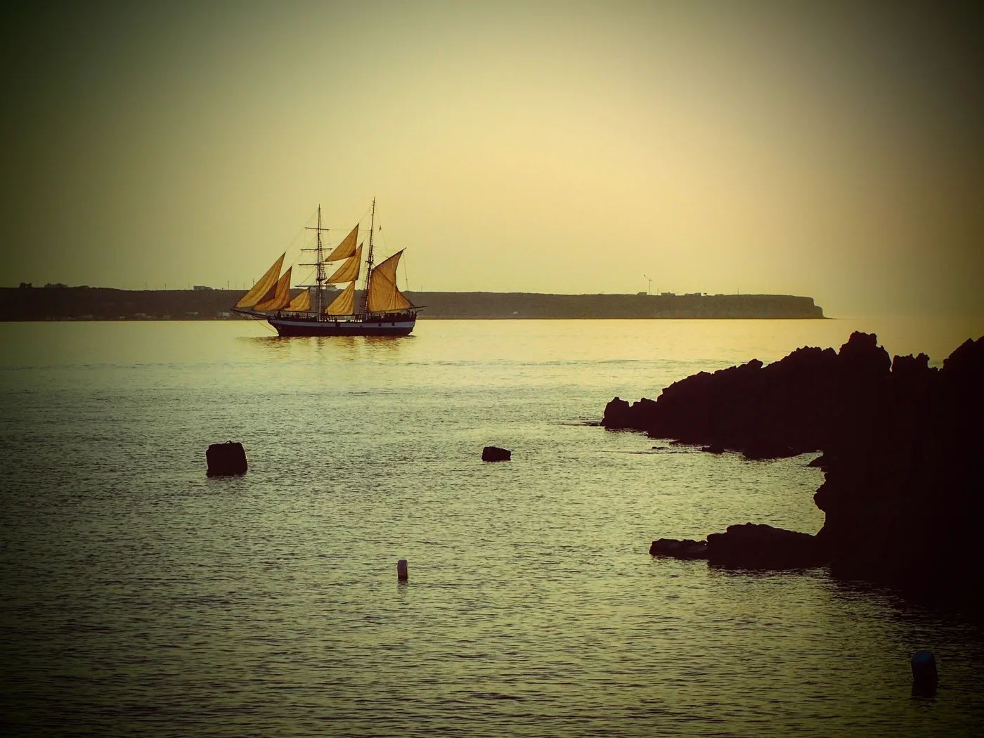
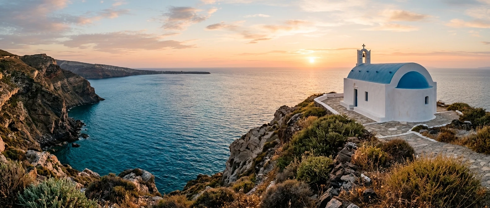
The caldera at sunset.
Photos: Olaf Tausch (CC BY 3.0), Enric (CC BY-SA 4.0), Adonis Santorini (CC BY-SA 4.0), Gozitano (CC BY-SA 4.0) · Wikimedia Commons
🌾 Potamos, Agrilia and the interior
West of Manolas, Potamos is a quiet village with the church of Agios Dimitrios and its colourful bell tower. A little further down, in a ravine, Agrilia has cave houses dug into the pumice, most of them now empty. In the south, the monastery of the Dormition of the Virgin looks out over the whole caldera. All around stretch dry fields, terraces, vineyards and small chapels.
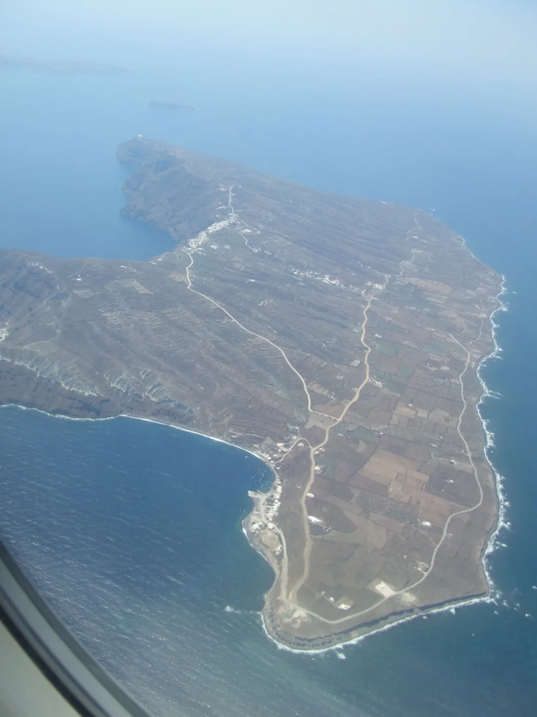
The whole island.
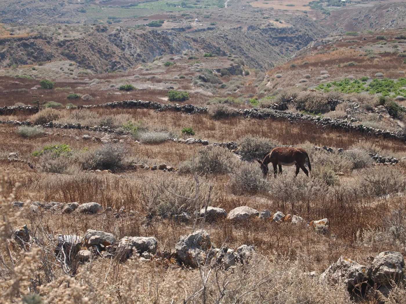
Fields and dry-stone walls.
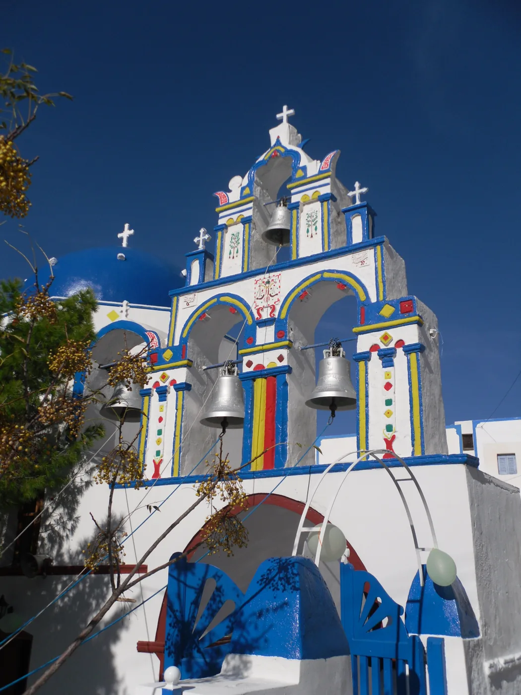
The church of Potamos.
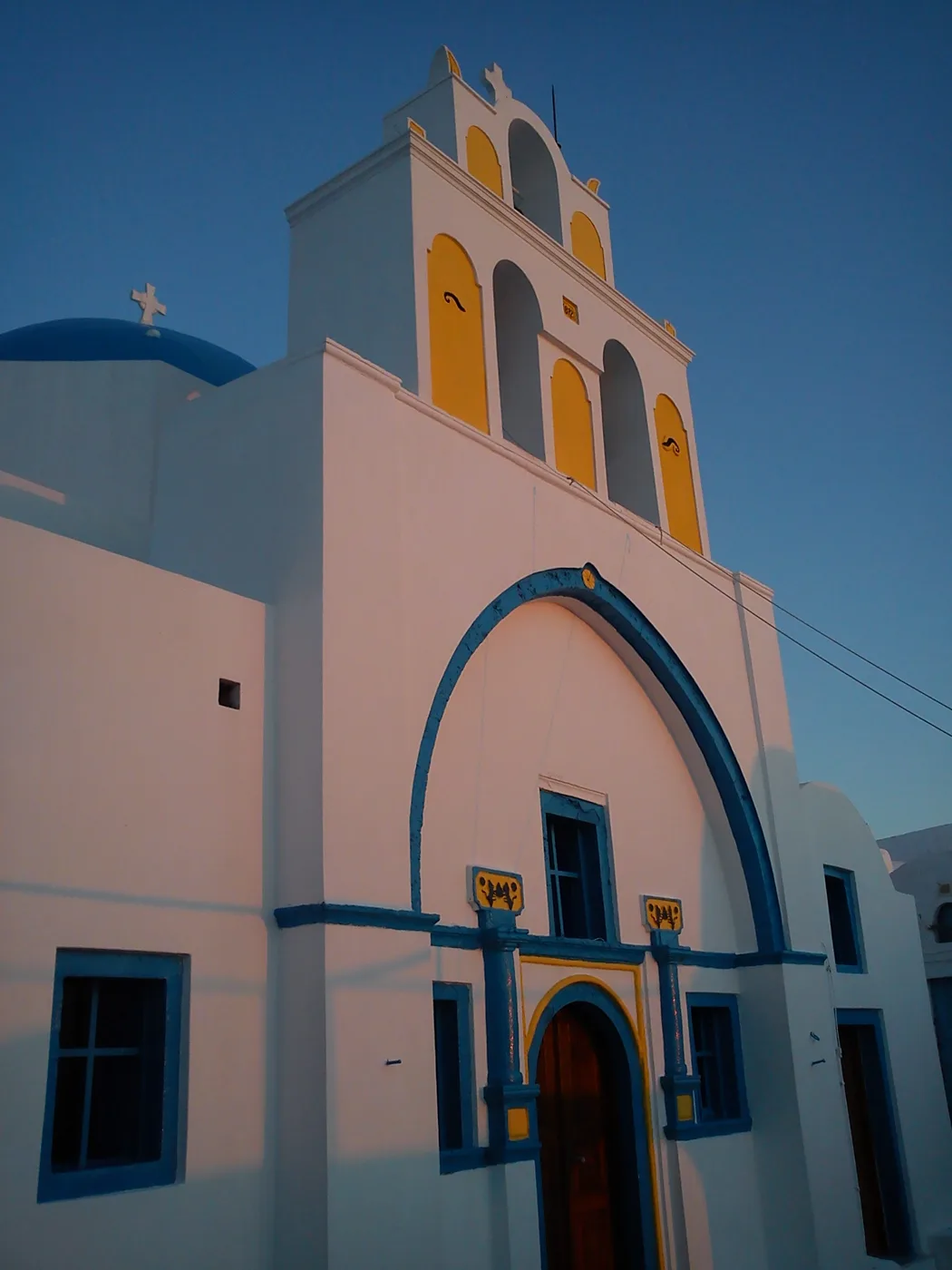
The Dormition of the Virgin.
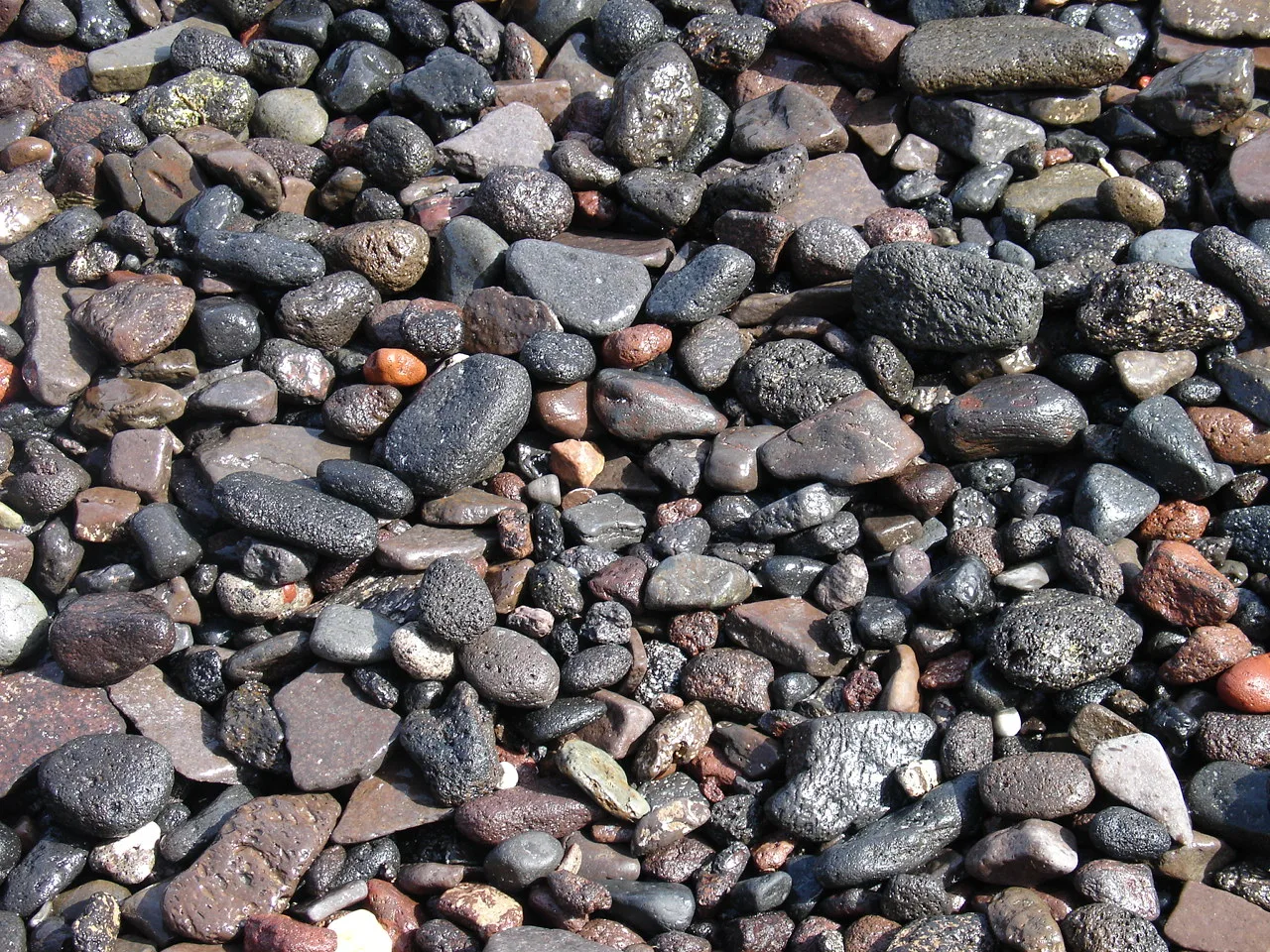
The sand of the volcano.
Photos: Claudio Bergantini (CC BY-SA 3.0), .anom (CC BY 3.0), Vania_mi (Public domain), Chrisletina (Public domain), Stan Zurek (CC BY-SA 3.0) · Wikimedia Commons
Thirasia has no big beaches. Most people swim off the rocks at Korfos or at the small pebble beach next to the port of Riva. Bring shoes for the pebbles.
🍽️ What to eat
The tavernas of Korfos serve fresh fish, octopus and fried squid by the water. In Manolas you will find the same cuisine as on Santorini: fava, tomato fritters made from the volcano’s small cherry tomatoes, capers and local wine, with a view of the caldera. Try the wood-oven bread too.
📅 When to go
May, June and September are the best months, warm without extremes and with a calm sea. In August the excursion boats fill Korfos at midday, but in the evening the island goes quiet again. In winter many shops close.
✈️ How to get there from Athens
| How | Duration | From | Notes |
|---|---|---|---|
| Plane and small boat | About 45 minutes to Santorini | Athens airport | From Ammoudi in Oia or from Athinios you continue to Thirasia. |
| Ferry to Santorini | About 5 to 8 hours | Piraeus | Many departures every day in summer. |
| Direct ferry | About 7 to 9 hours | Piraeus | A few ferries a week call at Riva. |
From Ioulianou 50, Piraeus is about 40 minutes by metro and the airport one hour on Line 3. From Santorini, a small ferry that also takes cars links Athinios and the old port of Fira with Thirasia, and little boats run every day from Ammoudi to Korfos and Riva. Check the times in advance, as they change with the season. Thirasia is easy to combine with Santorini: see also our guide to Santorini.
🗓️ Three days on Thirasia
Korfos and Manolas
Take the little boat from Ammoudi to Korfos and climb the steps up to Manolas. Stroll the alleys, look across at Santorini and go back down for fish at the harbour tavernas.
Potamos and Agrilia
Walk from Manolas to Potamos, with the church of Agios Dimitrios, and continue to the cave houses of Agrilia. In the afternoon watch the sunset from the west side of the island.
The monastery and Riva
Walk south up to the monastery of the Dormition of the Virgin, with views over the whole caldera. In the afternoon head down to Riva for a swim before catching the boat back.
Frequently asked questions
Is Thirasia worth a day trip from Santorini?
Yes. With the little boat from Ammoudi you are there in a few minutes, you climb up to Manolas, eat at Korfos and return in the afternoon. If you stay the night, you will see the island without a single day-tripper.
Do I need a car on Thirasia?
No. The villages are close together and walkable, and a small bus runs between them. If you stay a few days, a scooter brought over from Santorini helps.
Where should I stay on Thirasia?
In Manolas, for the caldera view, or in Potamos and Riva, for more peace and quiet. Rooms are few, so book early in summer.
How many days do I need?
One day is enough for Korfos and Manolas. With two or three days you have time for Potamos, Agrilia, the monastery and the island’s quiet nights.
— Kathy