🪪 The island at a glance
📍 Where it is
Anafi lies in the Cyclades, about 22 kilometres east of Santorini. From Piraeus the ferries take 9 to 12 hours, usually via Santorini, and they do not sail every day. The quickest way is to fly to Santorini and take a boat from there, which reaches the port of Agios Nikolaos in about an hour.
📍 Where Anafi is
Anafi is the southeasternmost island of the Cyclades, just east of Santorini. The island is shown in red, and Piraeus and Santorini, where the boats come from, in green.
🗺️ The map of the island
Anafi is mountainous and dry, with most of its beaches on the south coast. The port, Agios Nikolaos, is on the south side, and above it, on a ridge, is Chora. A road runs east to the monastery of Zoodochos Pigi, at the foot of Kalamos, passing above the beaches. The old road, a path by the sea, links them one after the other.
🗺️ Map of Anafi
Chora is on the south side, above the port of Agios Nikolaos. To the east, along the south coast, are Klisidi, Roukounas, Katalimatsa and Agioi Anargyroi. At the tip rises Kalamos, with Zoodochos Pigi at its foot and Kalamiotissa on top. Tap each number to see what it is.
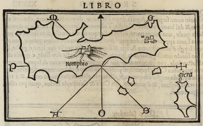
Map: Benedetto Bordone, 1547 (Public domain) · Wikimedia Commons
⚖️ Is it worth it? The pros and cons
Anafi is for people who want total peace, walking and the sea. Here is an honest picture.
📊 At a glance, from 1 to 5
👍 The pros
- One of the quietest and most authentic islands in the Cyclades.
- Kalamos, one of the largest monoliths in the Mediterranean.
- Sandy beaches with few people, such as Roukounas.
- Many footpaths, monasteries and ancient sites.
- An easy trip from Santorini.
👎 The cons
- Few ferries, and a very long trip from Piraeus.
- Few places to stay and few tavernas.
- For most beaches you walk or take a small boat.
- Dry landscape and a lot of wind.
🏘️ Chora
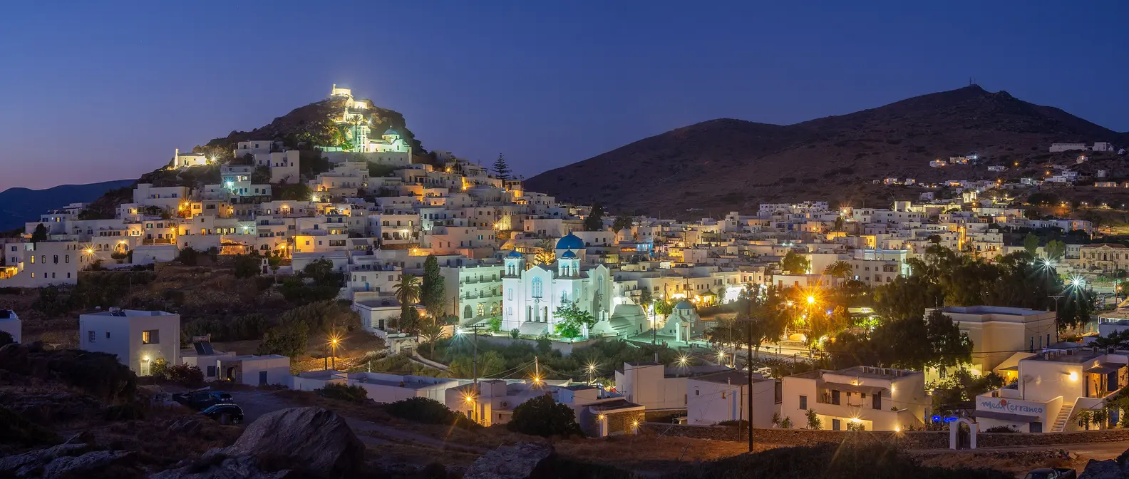
Chora spreads along a ridge above the port, with white houses, vaulted roofs and narrow lanes. At the top a few ruins survive of the Venetian Castle, and from there the view takes in the whole south coast all the way to Kalamos. Chora has a few tavernas and cafés around a square, and in the evening it fills with silence and stars.
In the houses you will still see the old round ovens in the courtyards. In the 20th century Anafi was a place of exile, and in Chora there is a small memorial to the exiles. Down at Agios Nikolaos the ferries dock, and a few steps further on is the sandy beach of Klisidi.
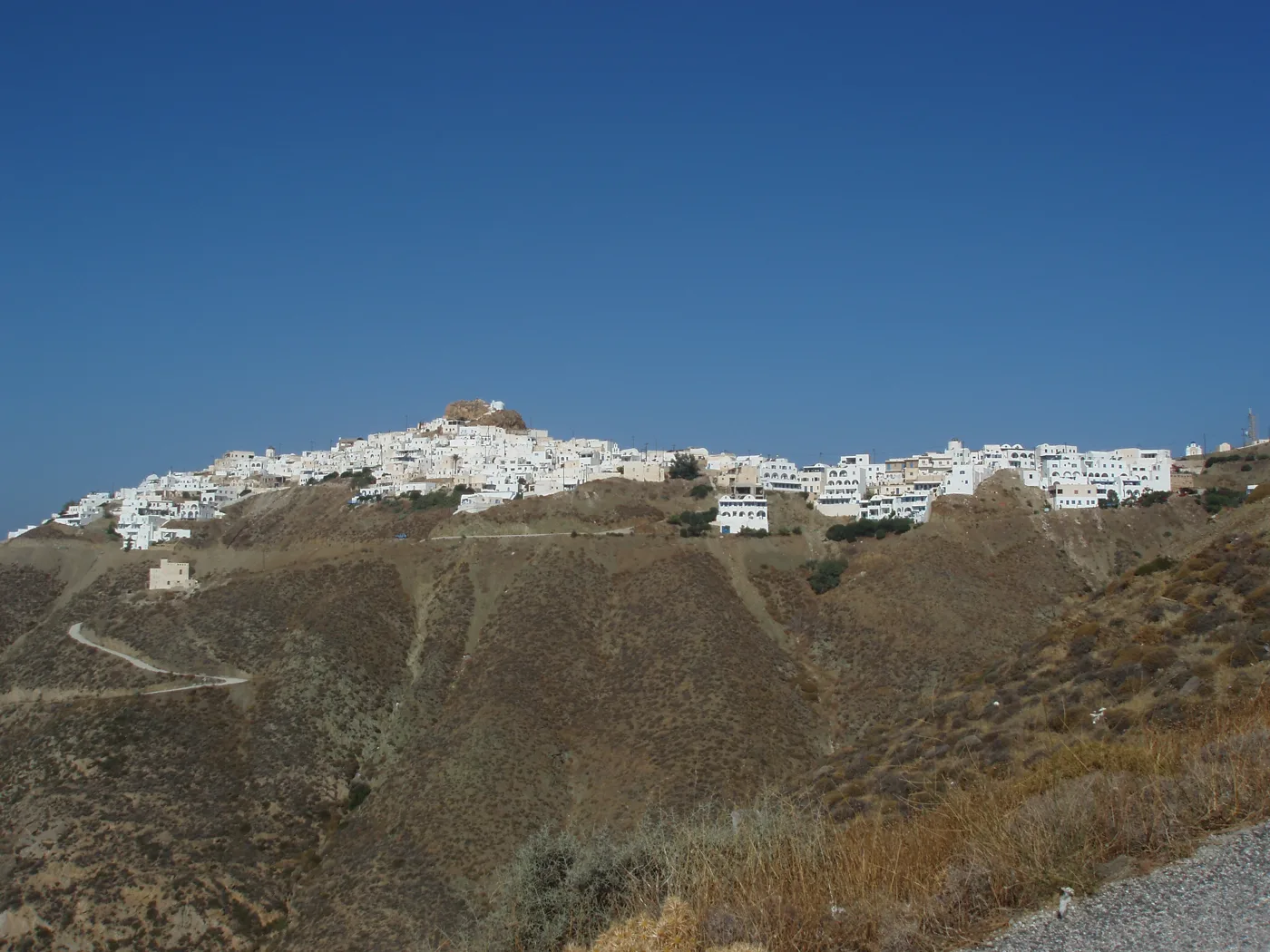
White, on the ridge.
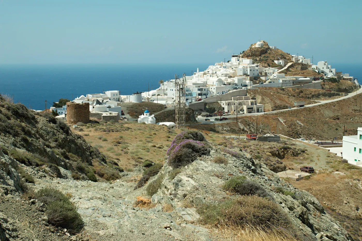
Chora and the sea.
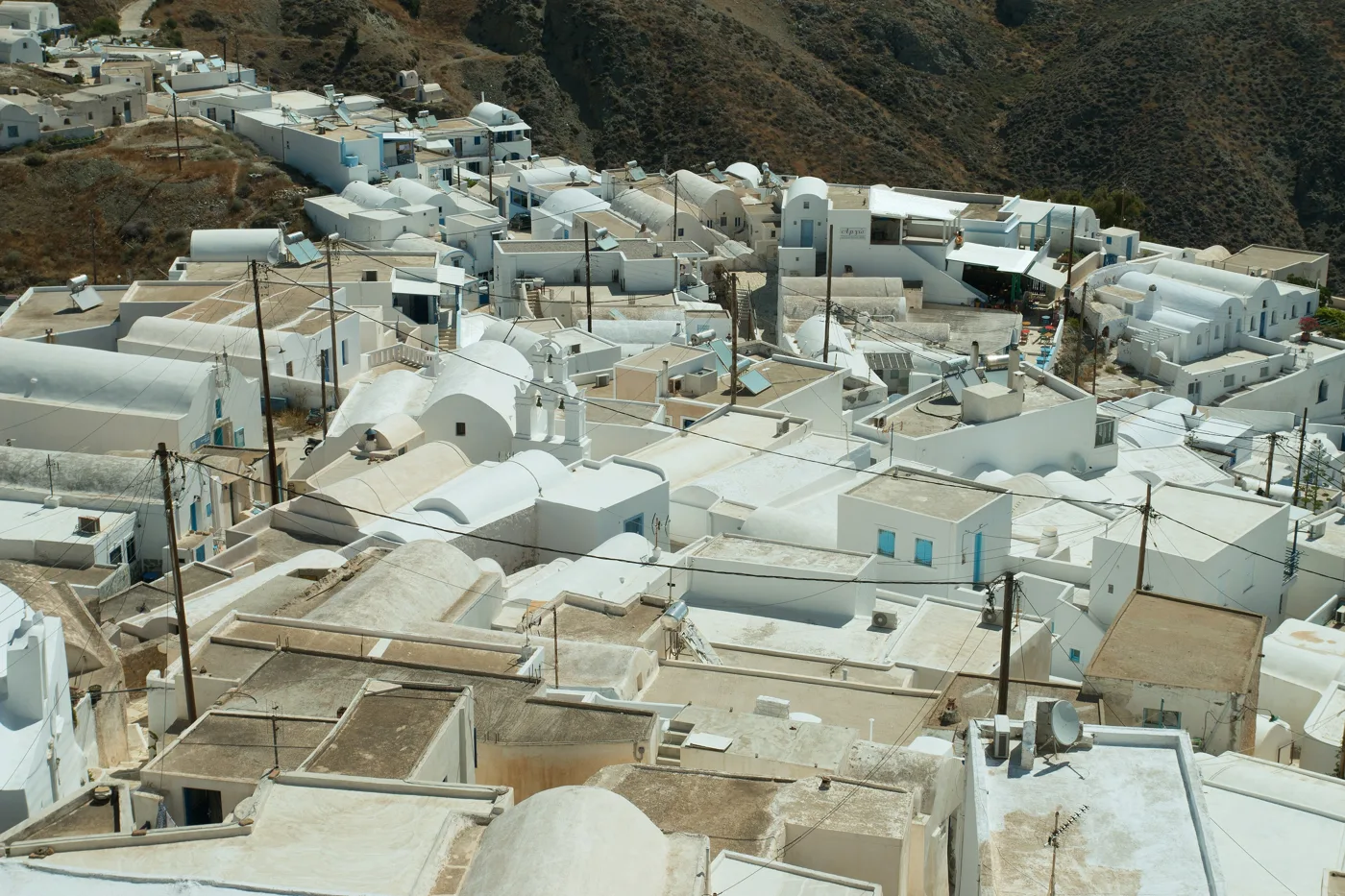
Domes and terraces.
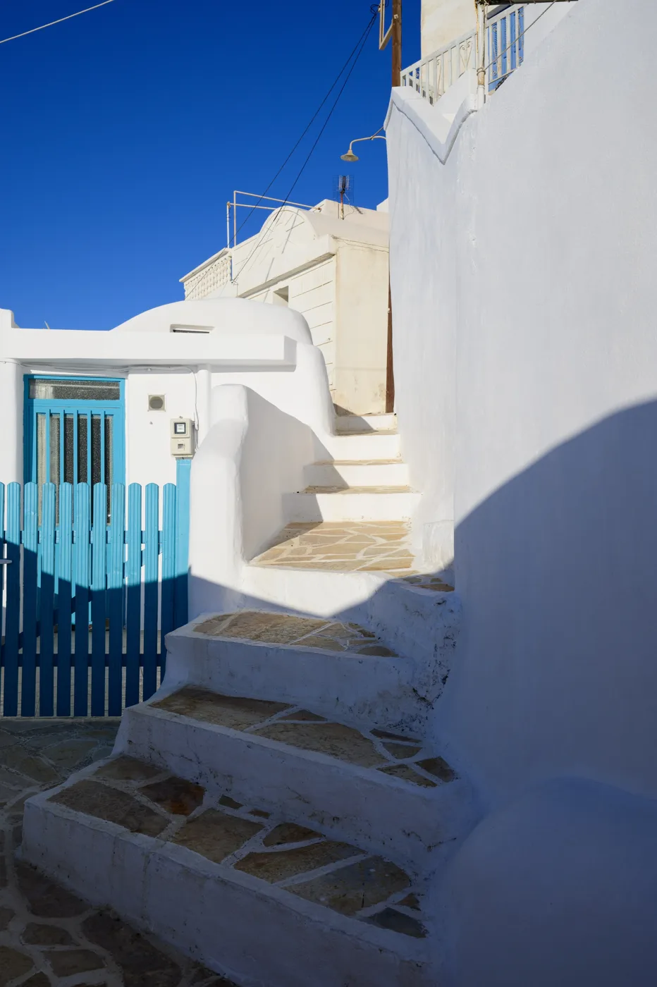
White and light blue.
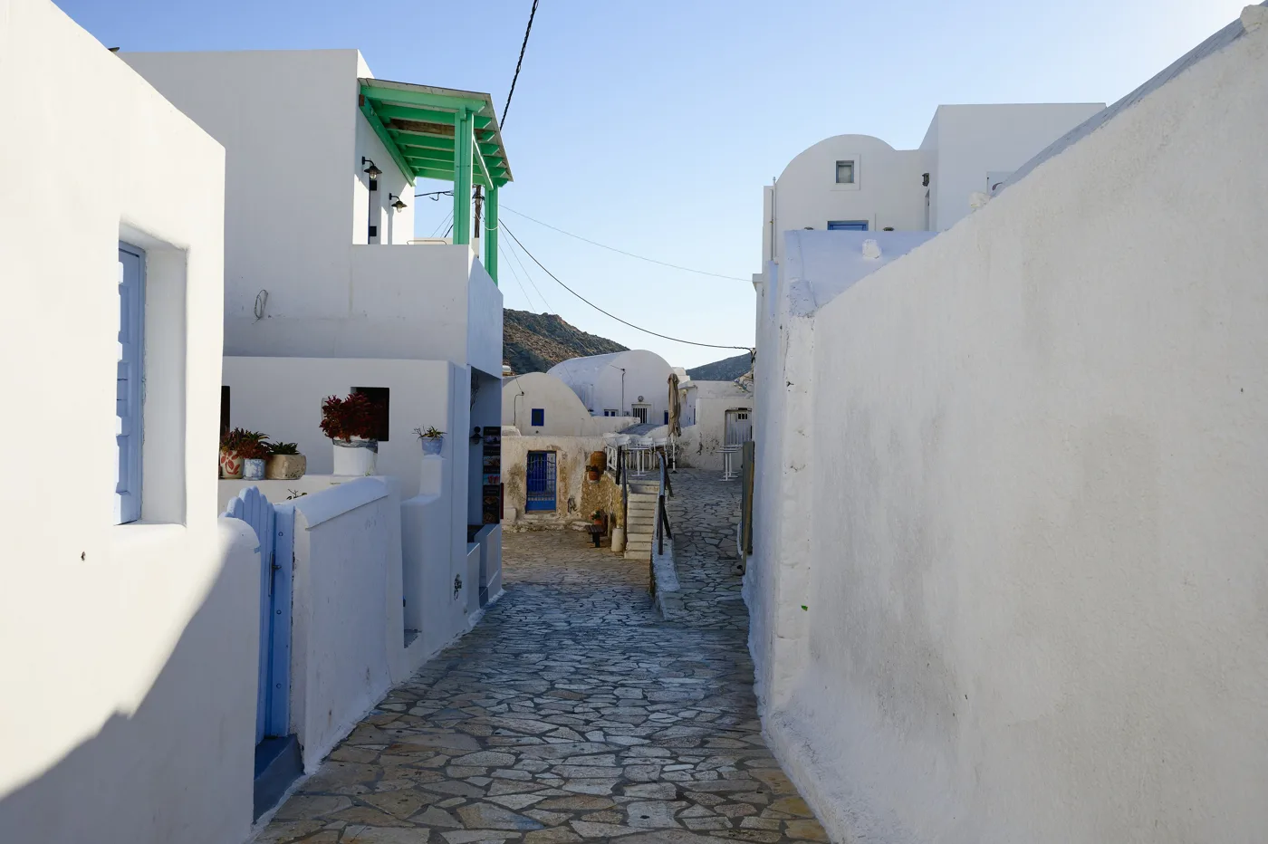
Stone and whitewash.
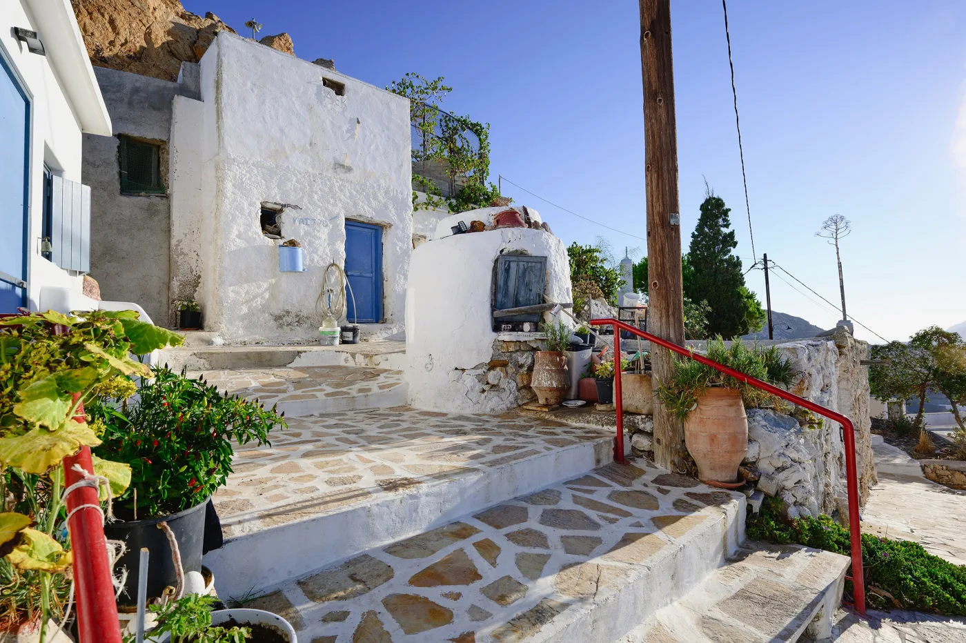
Flowers on the steps.
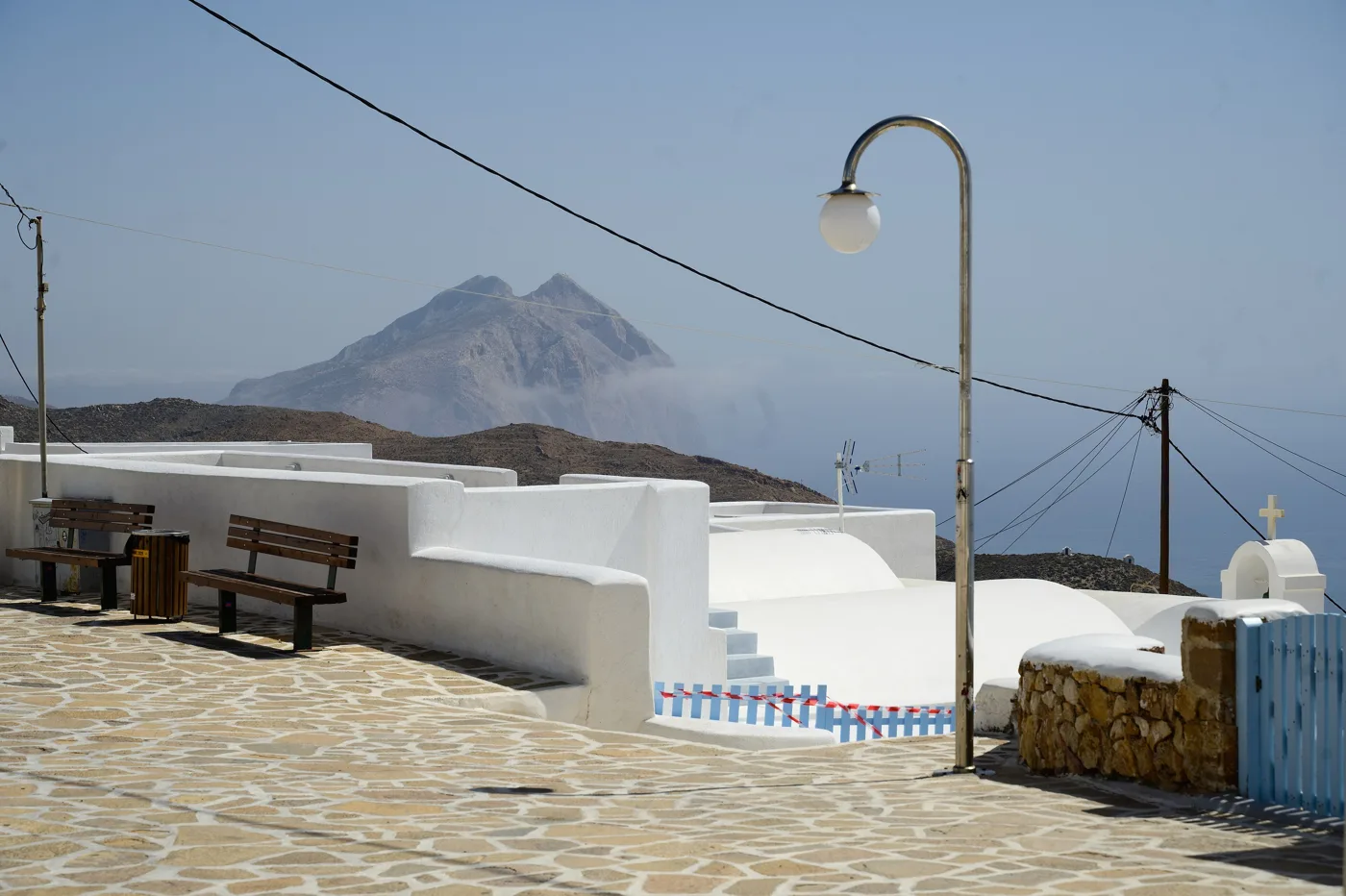
Kalamos on the horizon.
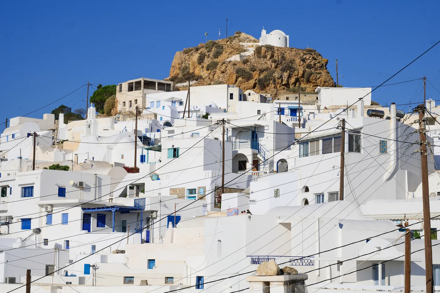
The rock above Chora.
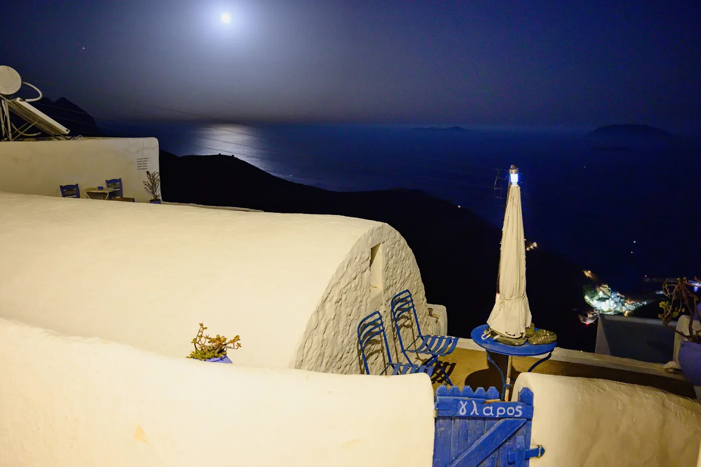
Moon over the open sea.
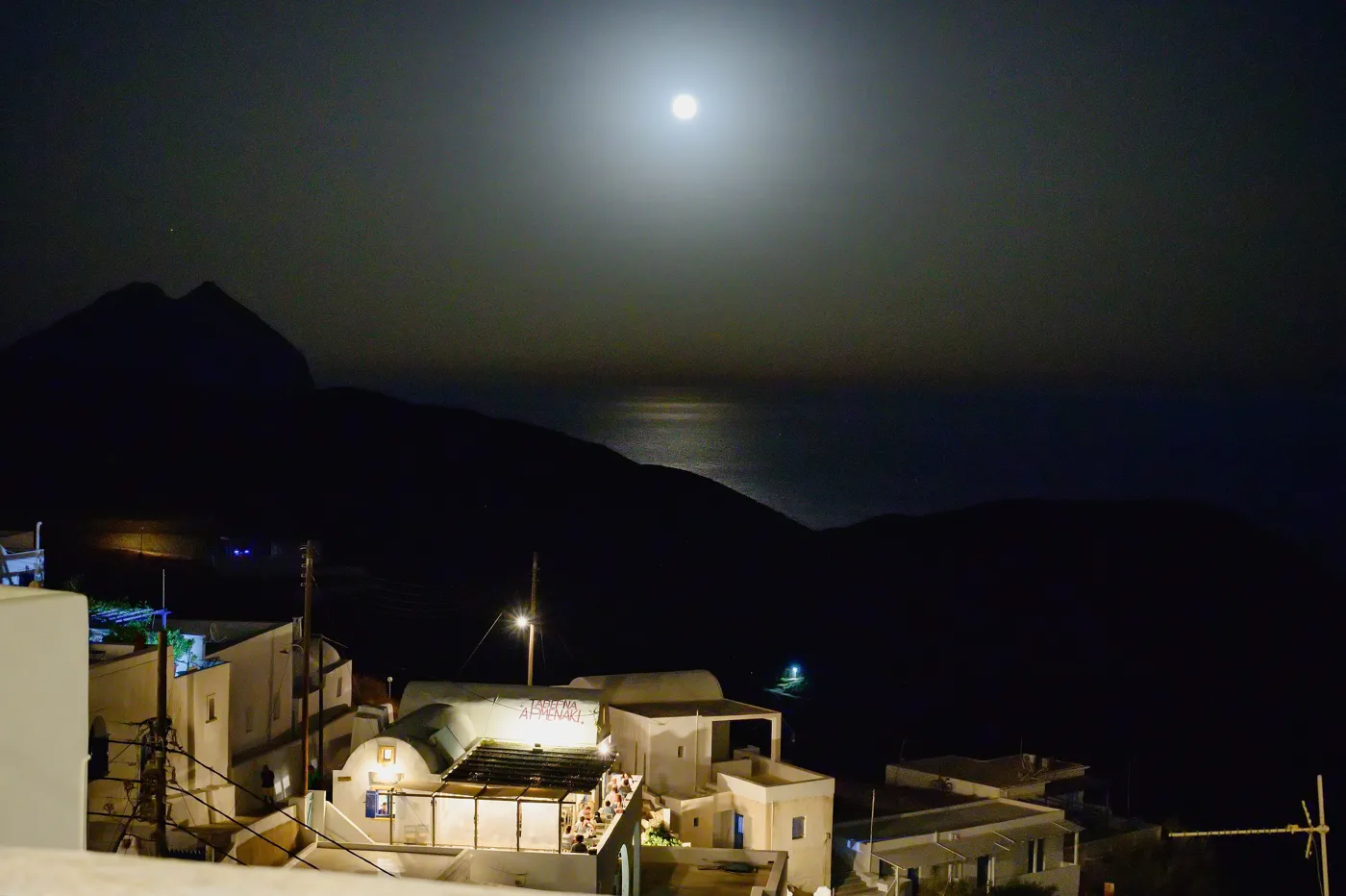
Chora in the evening.
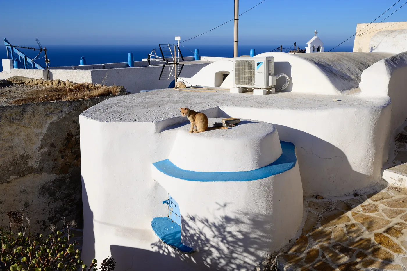
And its cat.
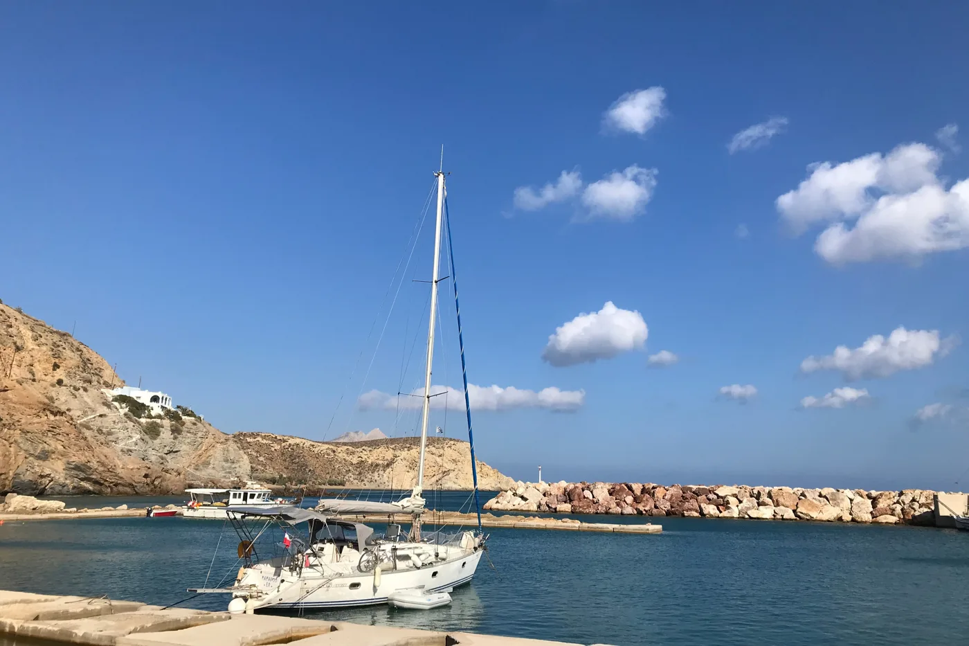
Agios Nikolaos.
Photos: Mlzs (CC BY-SA 4.0), Man77 (CC BY-SA 3.0), Zde (CC BY-SA 4.0) · Wikimedia Commons
🪨 Kalamos and the monasteries
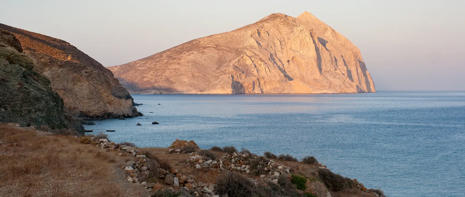
At the eastern tip of the island rises Kalamos, a limestone rock almost 460 metres high, one of the largest monoliths in the Mediterranean. On its summit stands the chapel of Panagia Kalamiotissa. A difficult path climbs up there in about an hour from the monastery, and the view from the top takes in the whole Aegean as far as Santorini.
At the foot of the rock is the monastery of Zoodochos Pigi, built on the ruins of the temple of Apollo Aigletes. Legend says the Argonauts were lost in a dark storm, Apollo shot a shining arrow and the island appeared before them. There they built a temple to thank him. In the monastery walls you will see ancient blocks. Further west, on the hill of Kasteli, stood the island’s ancient city.
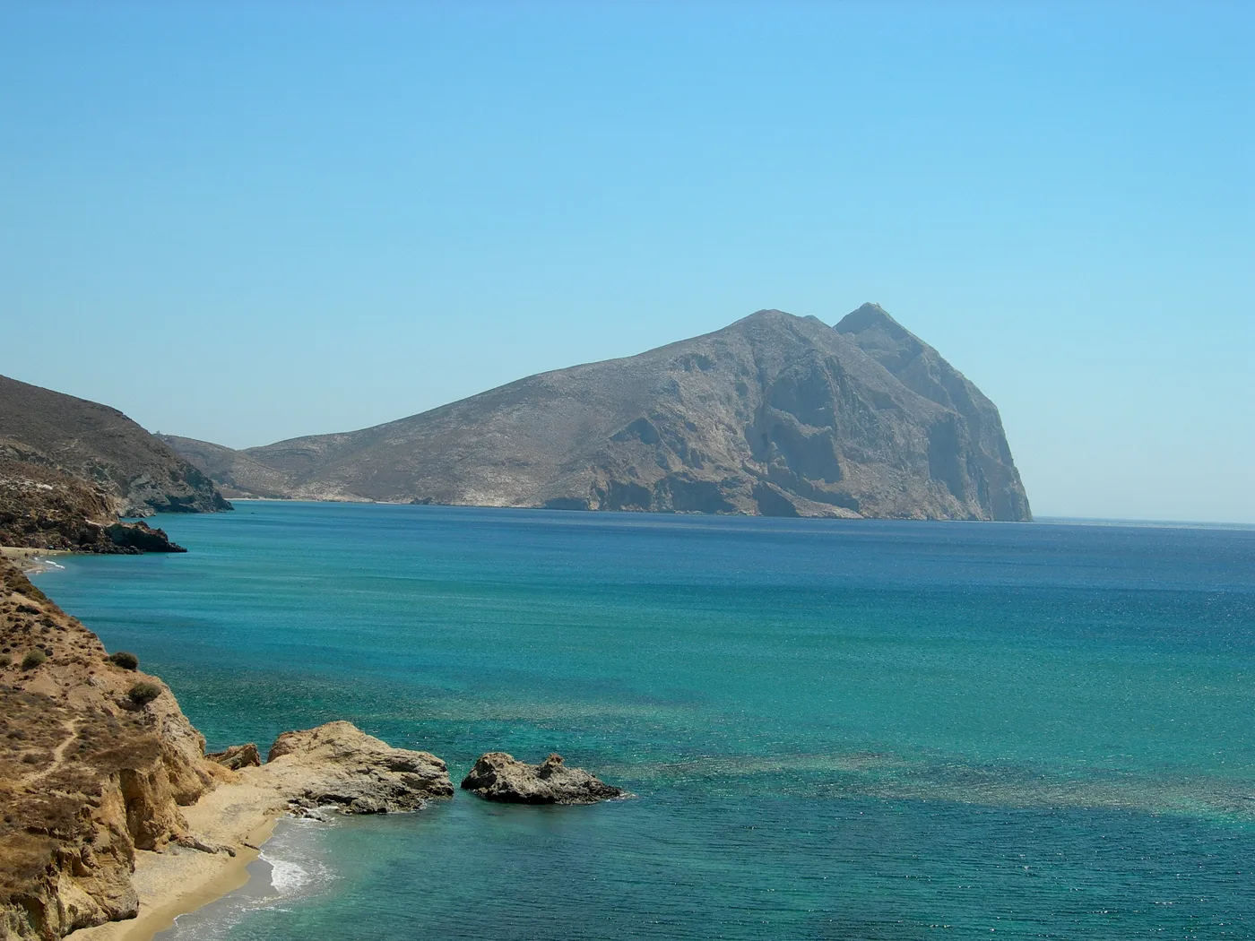
The rock from Roukounas.
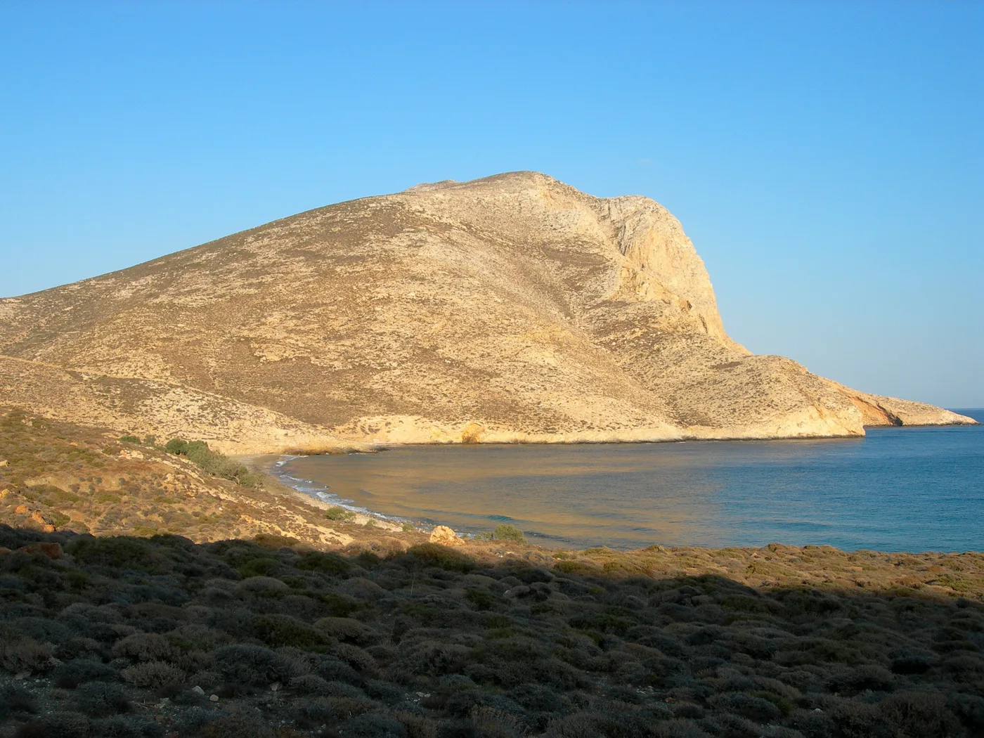
The rock and the bay.
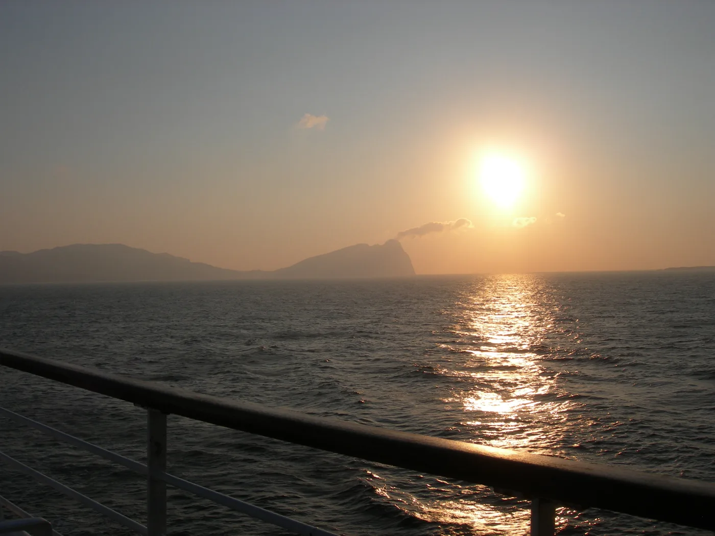
The sun rises from the sea.
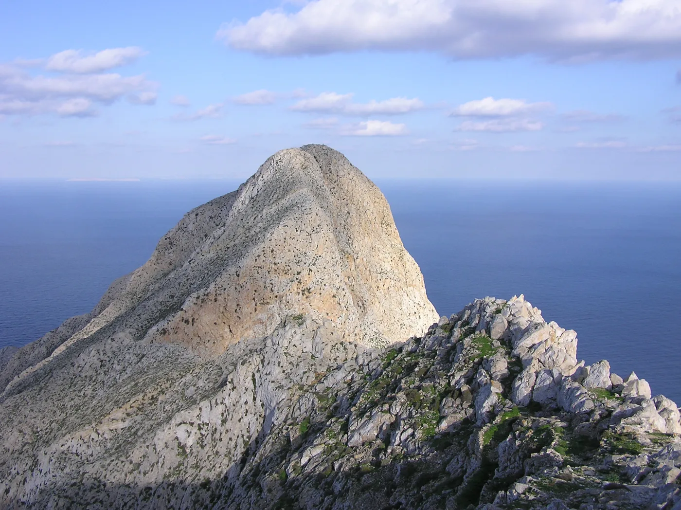
The rock up close.
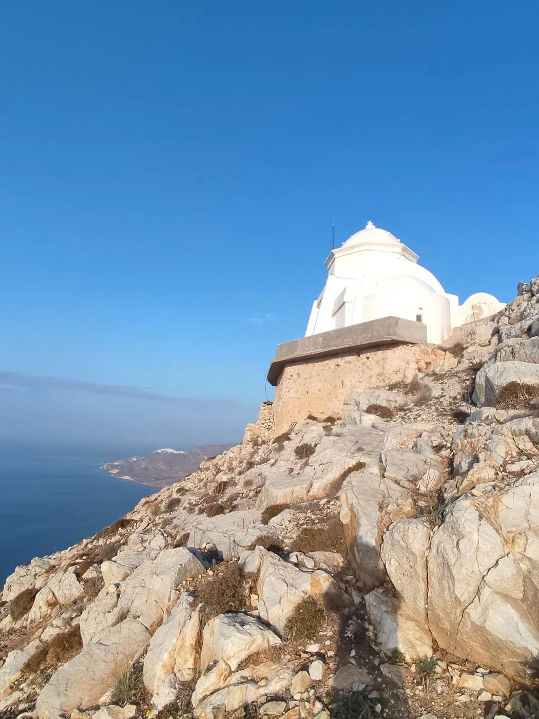
On top of Kalamos.
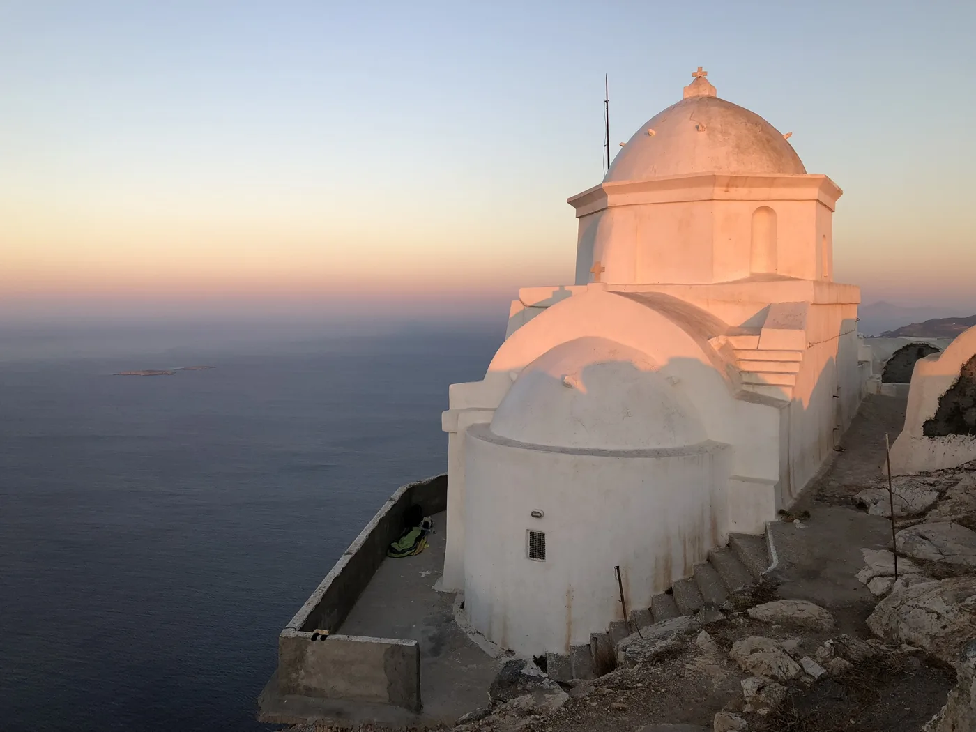
Pink light on the dome.
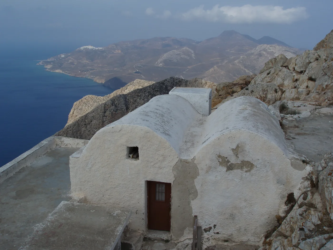
The view from the rock.
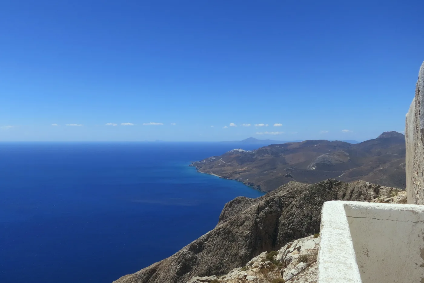
All the way to Chora.
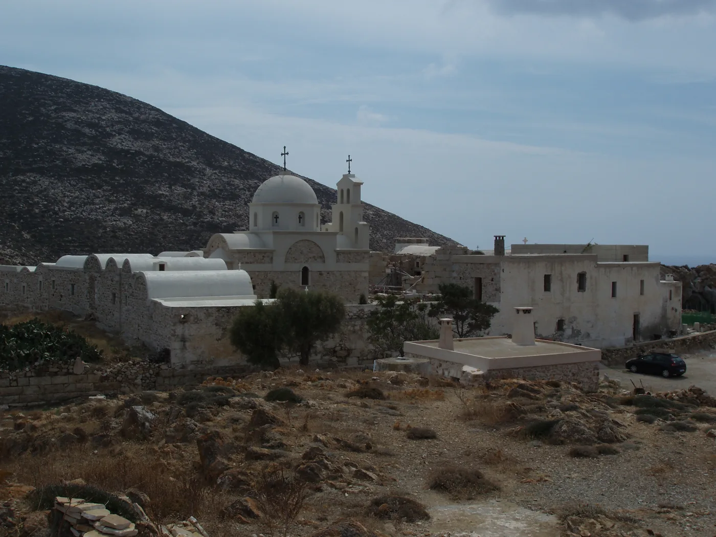
The monastery below Kalamos.
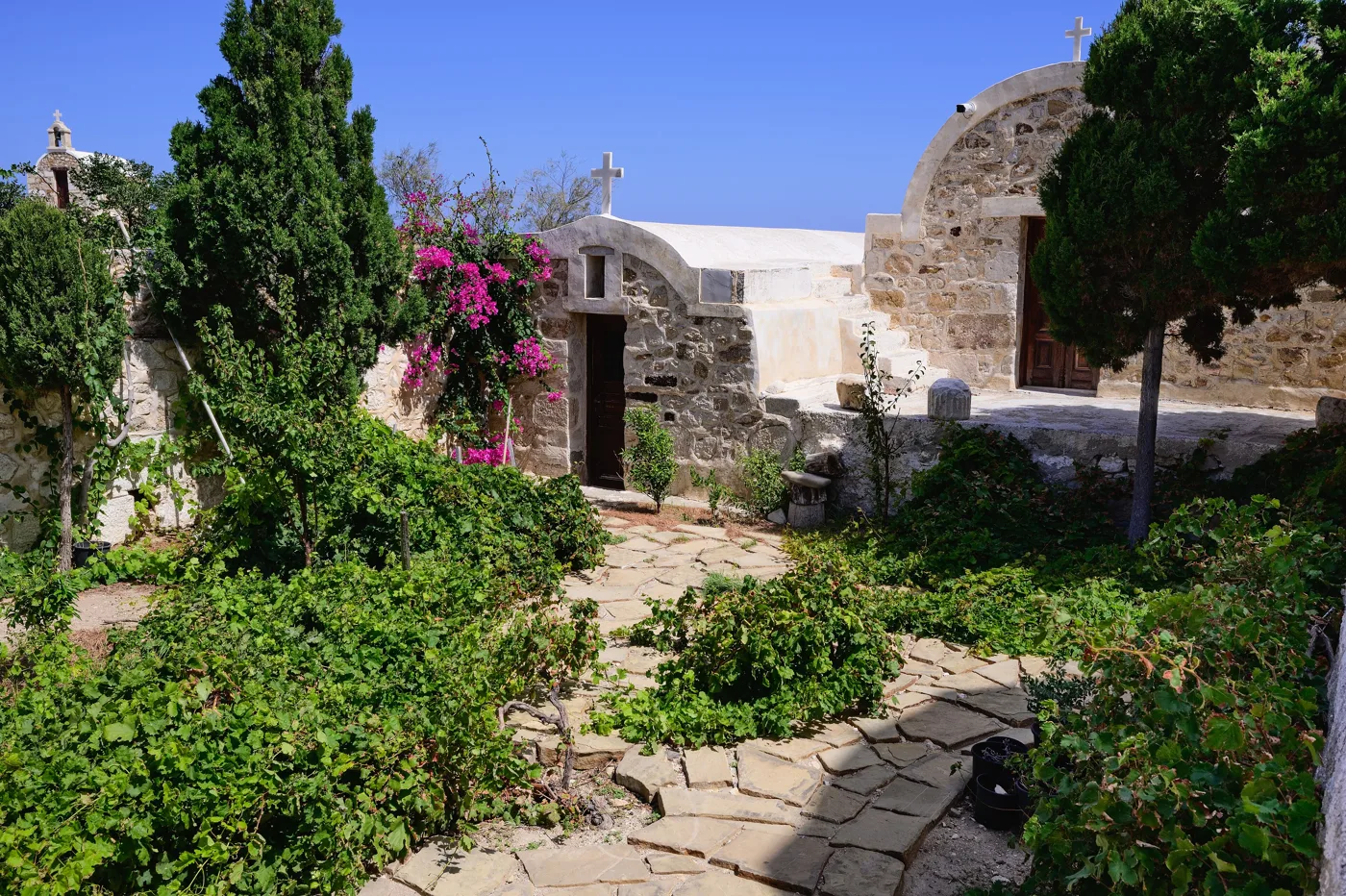
Flowers and stone.
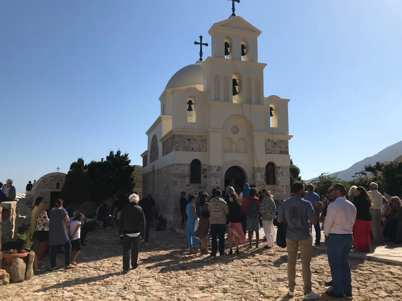
The monastery’s festival.
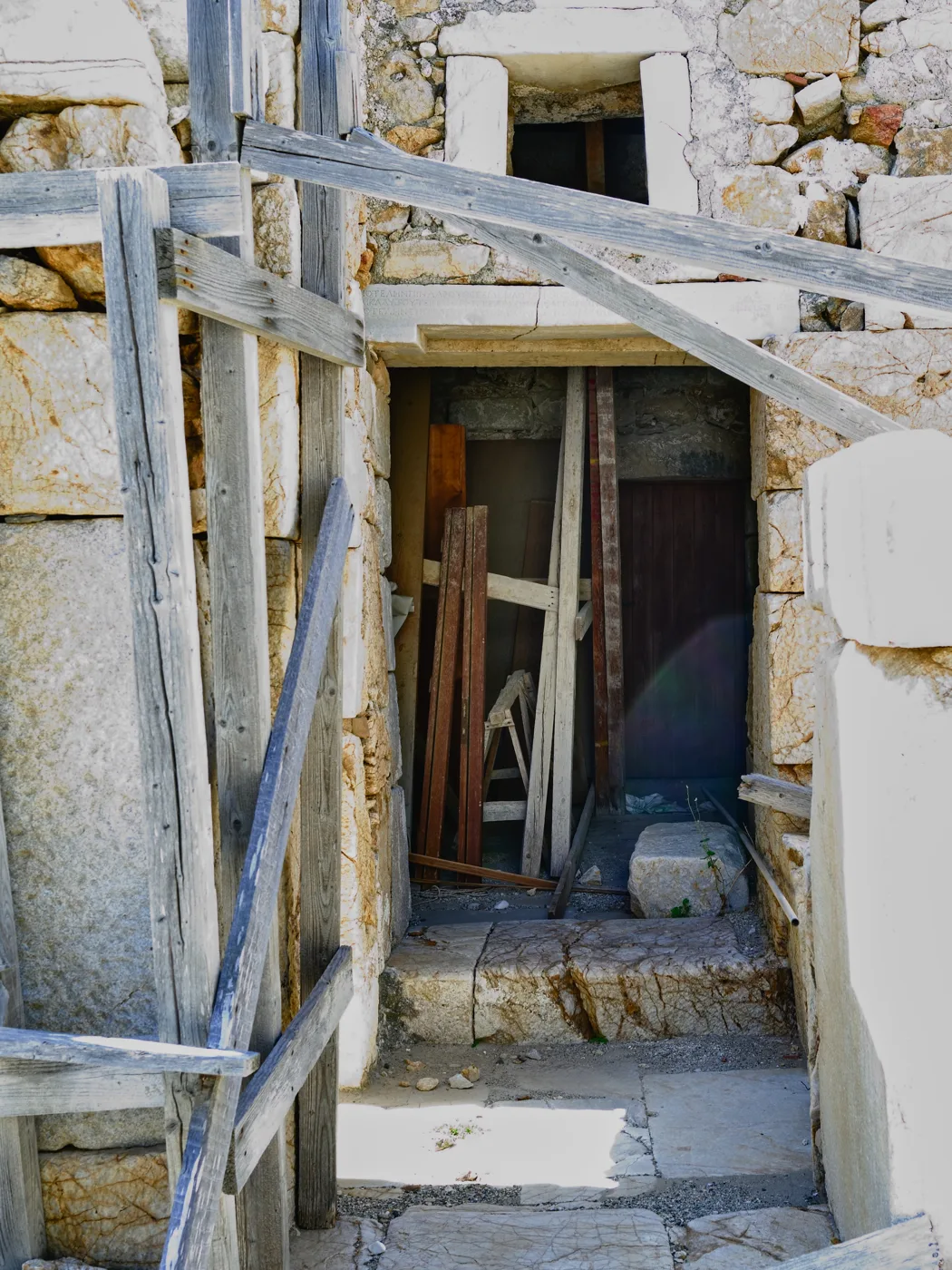
Ancient stones in the monastery.
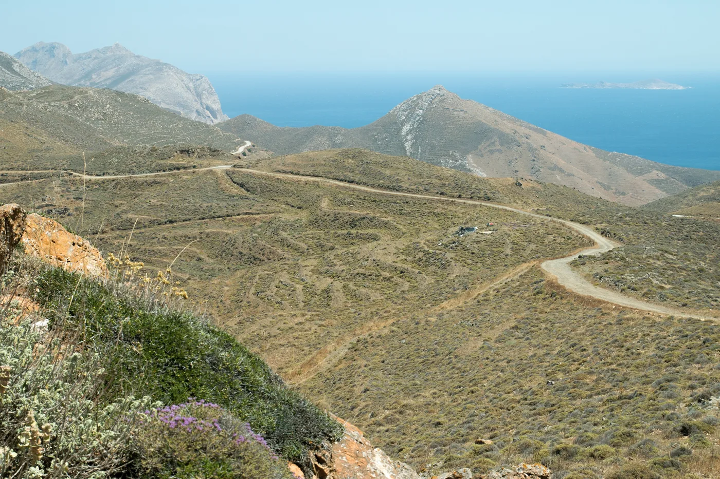
The hill of the ancient city.
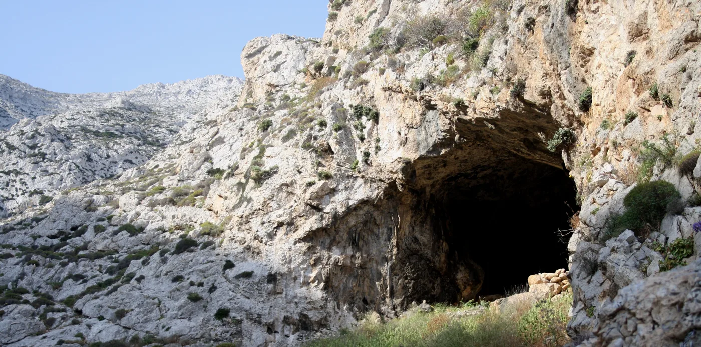
A cave on Kalamos.
Photos: Ellogon (CC BY-SA 4.0), Yiorgos Theodoropoulos (CC BY-SA 4.0), Billyael1 (CC BY-SA 4.0), Luca Aless (CC0), Man77 (CC BY-SA 3.0), Zde (CC BY-SA 4.0), GianE (Attribution) · Wikimedia Commons
Start very early in the morning or late in the afternoon, never in the midday sun. Wear closed shoes, take plenty of water and do not climb in strong wind. The path is steep and in places has no shade.
🏖️ The beaches
Anafi’s beaches are almost all on the south coast, between Chora and Kalamos. Roukounas is the largest, a long sandy beach with tamarisks for shade and a taverna. Next to it is Katalimatsa, and further east Megas Potamos, Agioi Anargyroi and Monastiri, below the monastery. Near the port, Klisidi is a sandy beach with tavernas.
- Klisidi: a sandy beach next to the port, with tavernas.
- Roukounas: the largest sandy beach, with tamarisks.
- Katalimatsa: a small sandy beach, a little further on.
- Agioi Anargyroi: a quiet beach with a chapel.
- Monastiri: pebbles below the monastery, with a view of Kalamos.
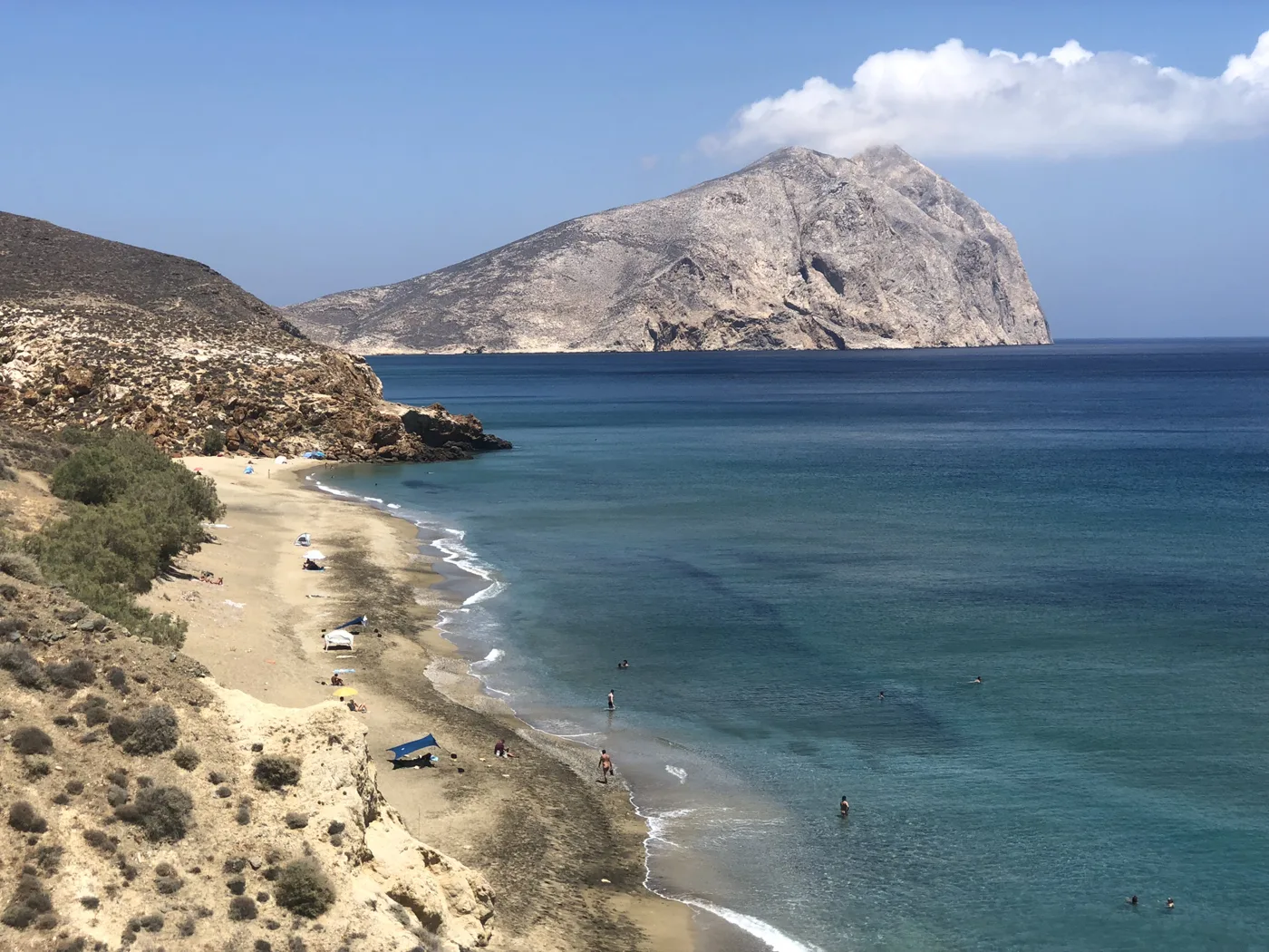
The largest beach.
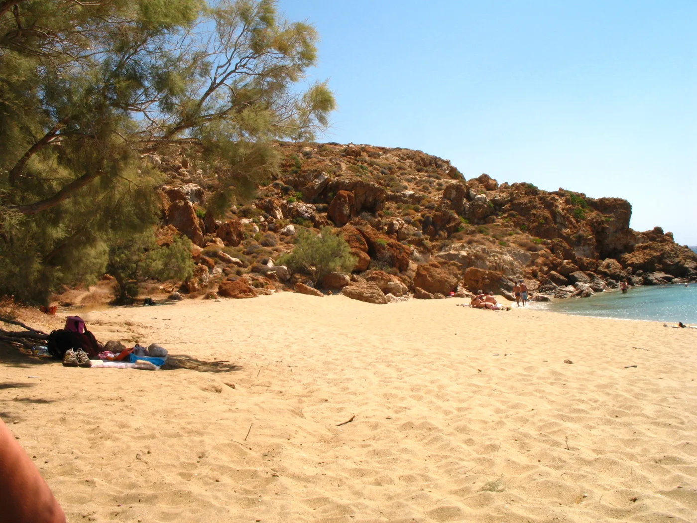
Tamarisks on the sand.
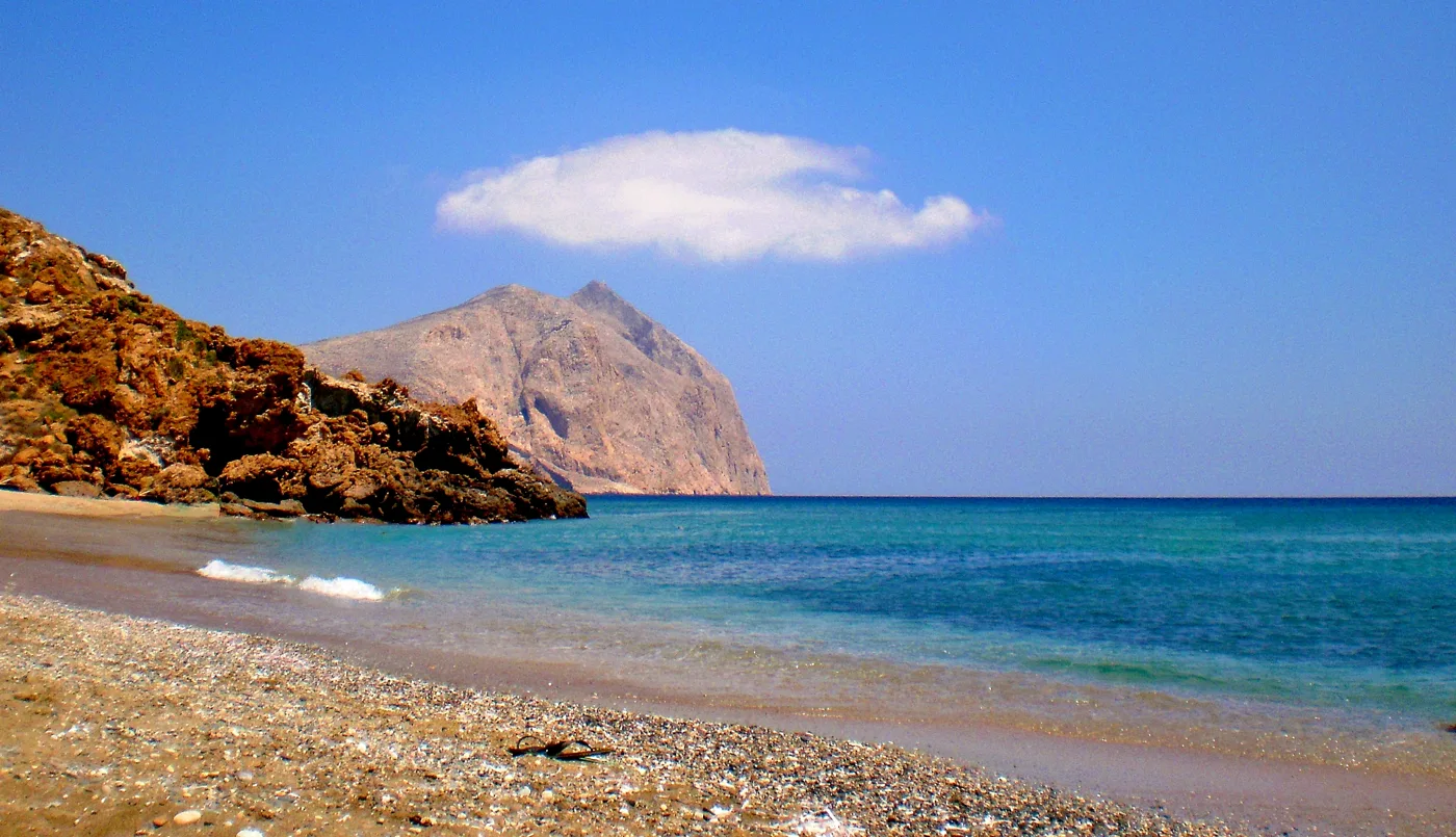
Blue all the way to Kalamos.
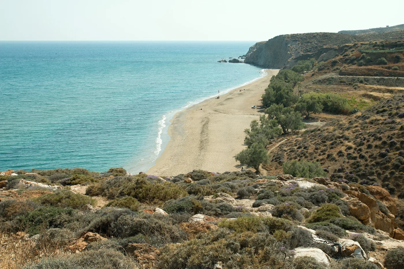
The beach and the hills.
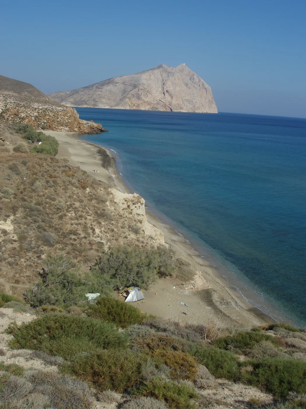
One sandy beach after another.
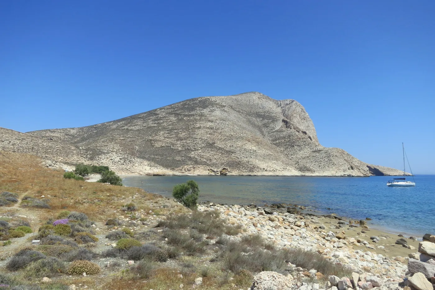
Below the monastery.
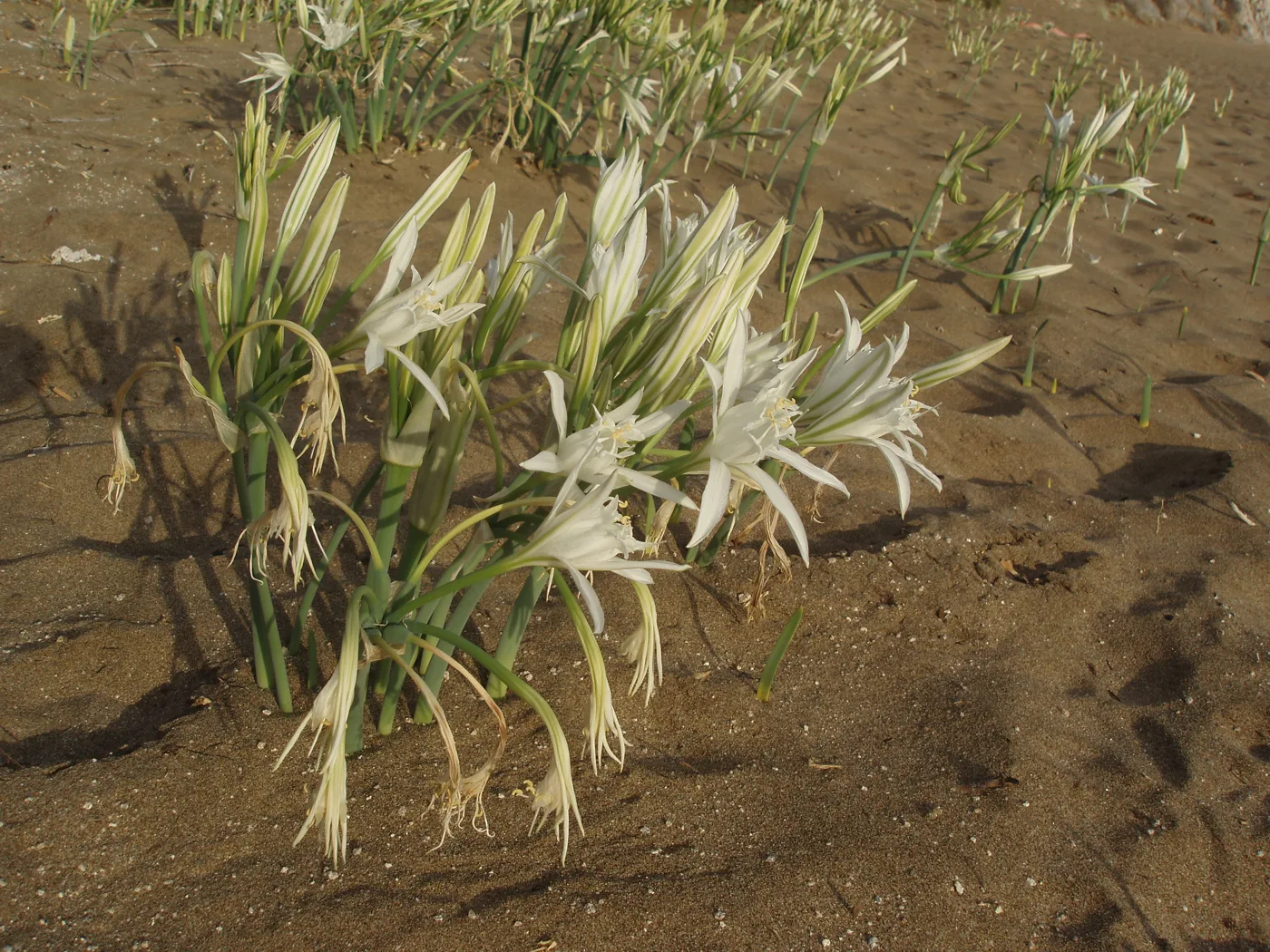
They bloom in the sand.
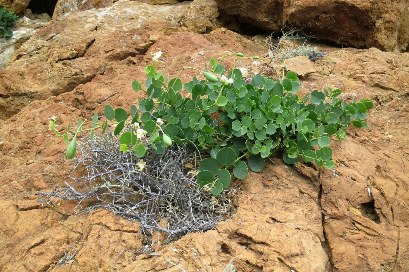
It grows on the rocks.
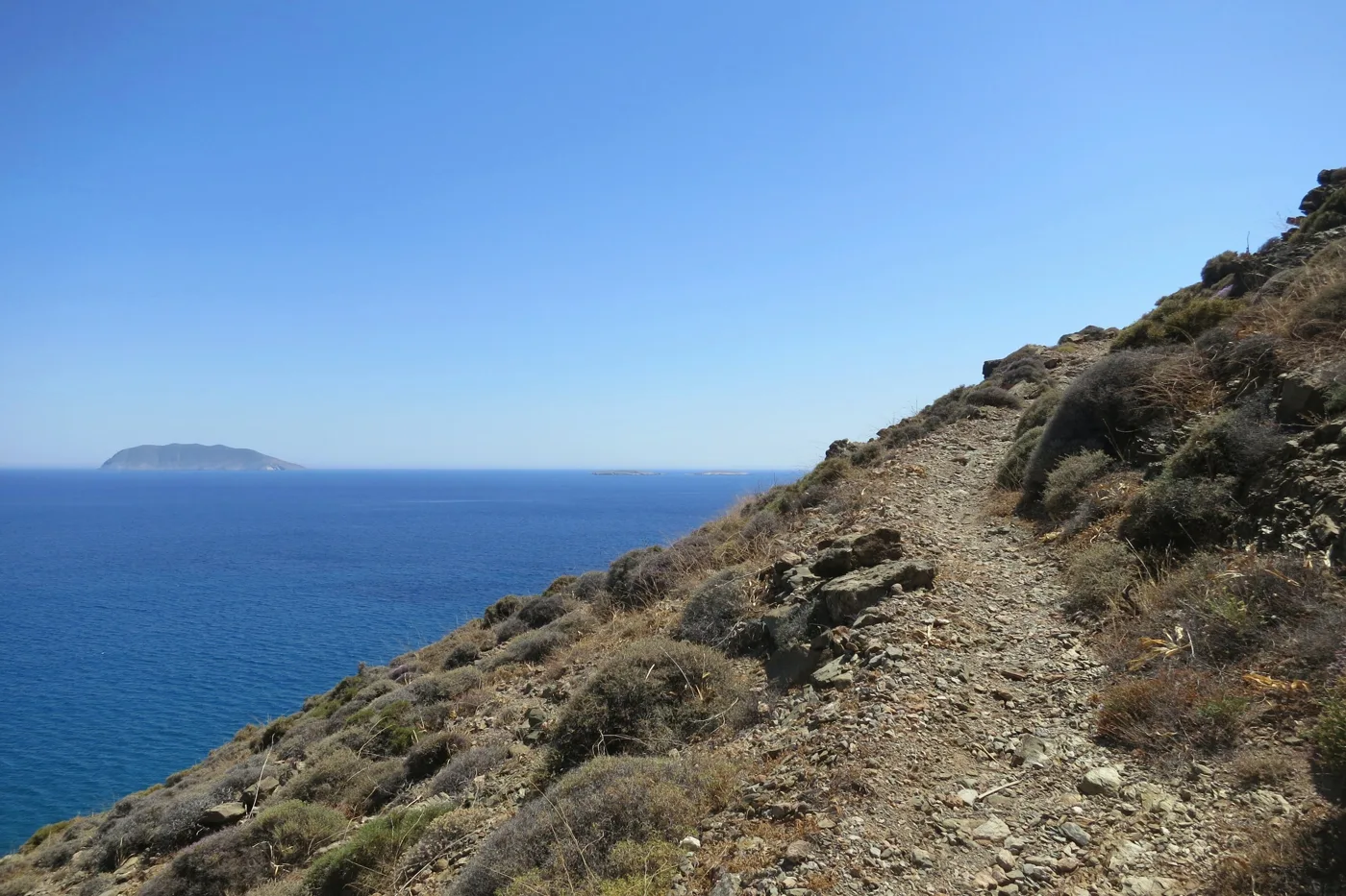
Walking above the waves.
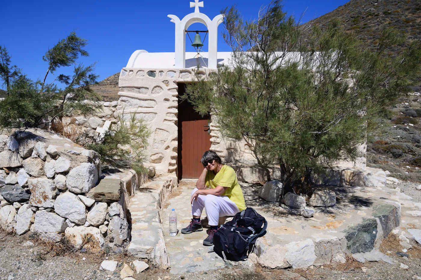
On the Sacred Way.
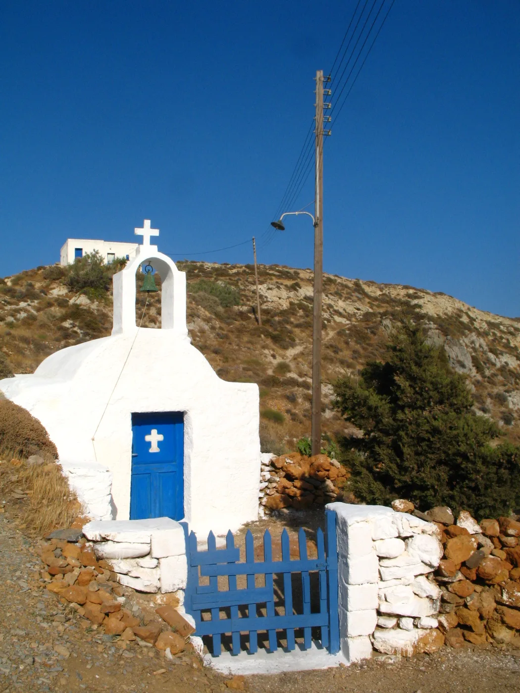
On the way to Roukounas.
Photos: Luca Aless (CC0), Little Ruth (CC BY-SA 4.0), Ginak97 (CC BY-SA 4.0), Zde (CC BY-SA 4.0), Man77 (CC BY-SA 3.0) · Wikimedia Commons
🍽️ What to eat
Anafi’s tavernas are few and simple, with fresh fish, local kid goat and capers from the rocks. Try the fava, the local cheeses and the thyme honey. At Easter and at festivals they make lambriatis, stuffed kid goat baked in the oven.
📅 When to go
June and September are the best months, with warm sea and a quiet island. May is ideal for walking. In August more people come, but Anafi stays quiet. The big festival of Zoodochos Pigi takes place on the Friday after Easter, and that of Kalamiotissa on 8 September.
✈️ How to get there from Athens
| How | Duration | From | Notes |
|---|---|---|---|
| Ferry from Piraeus | About 9 to 12 hours | Piraeus | A few sailings a week, usually via Santorini. |
| Plane and ferry | 45 minutes to Santorini, plus about 1 hour by boat | Athens airport | Fly to Santorini and take a boat from Athinios. |
From Ioulianou 50, Piraeus is about 40 minutes by metro and the airport an hour on Line 3. Check the timetables before you book, because boats to Anafi are few. On the island a bus links the port, Chora and the beaches, and in summer small boats go to the more distant ones. Anafi is easy to combine with Santorini: see also our guide to Santorini.
🗓️ Three days on Anafi
Chora and Roukounas
Walk up to Chora and the Castle for the view. In the afternoon take the bus or walk down to Roukounas for a swim under the tamarisks. In the evening, dinner on the square in Chora.
Kalamos and Kalamiotissa
Set off very early for the monastery of Zoodochos Pigi and climb the path to Panagia Kalamiotissa, on top of Kalamos. On the way back, swim at Monastiri or Agioi Anargyroi.
Footpaths and sandy beaches
Walk the old road along the south coast, from beach to beach, or climb to Kasteli, the ancient city. In the evening, watch the sunset from Chora.
Frequently asked questions
Can I visit Anafi as a day trip from Santorini?
Yes, when the timetables allow it, with a morning boat and a return in the afternoon. That gives you time for Chora and Roukounas. For Kalamos and the footpaths you need at least two days.
Where should I stay on Anafi?
In Chora, for the view, the tavernas and the square. At Klisidi, to be next to the sea and the port.
Do I need a car on Anafi?
Not necessarily. The bus links the port, Chora and the beaches, and many places can be reached on foot. A few cars and scooters can be rented in Chora, but book early.
How many days do I need?
Three to four days are enough for Chora, Kalamos, Zoodochos Pigi and the beaches. More if you want to walk all the footpaths.
— Kathy