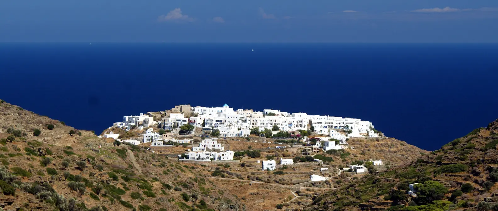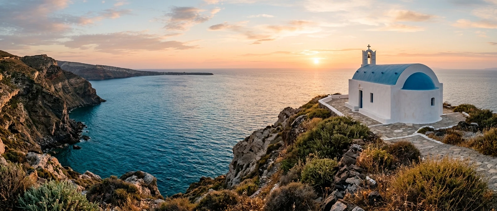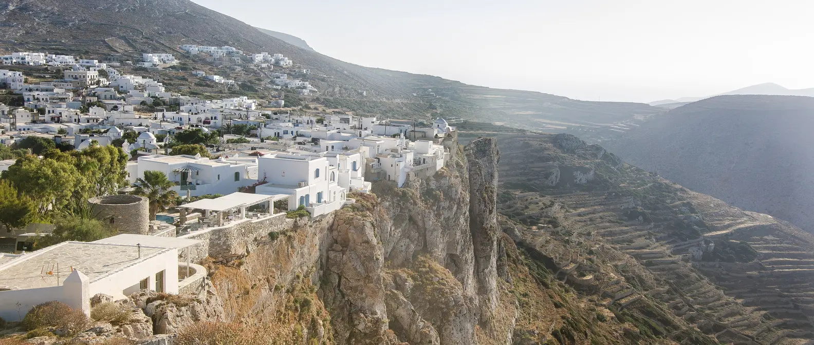
🪪 The island at a glance
📍 Where it is
Folegandros lies in the southwestern Cyclades, between Milos and Sikinos, and not far from Santorini. Ferries from Piraeus reach Karavostasis in about 4 to 7 hours, depending on the boat and the stops. There is no airport: if you would rather fly, go to Milos or Santorini and continue by ferry.
📍 Where Folegandros is
Folegandros is in the southwestern Cyclades, between Milos and Sikinos, not far from Santorini. The island is in red, and Piraeus, where the ferries leave from, is in green.
🗺️ The map of the island
Folegandros is long and narrow, and a main road crosses it from Karavostasis in the east to Ano Meria in the west. In the middle, on the northern cliff, is Chora. The north coast is almost all sheer cliffs, while the beaches are mostly on the south side, and many can only be reached by boat or on foot.
🗺️ Map of Folegandros
Folegandros is long and narrow, with one main road. The port, Karavostasis, is on the east coast, with Livadi and Katergo to the south. Chora is in the middle, on the edge of the northern cliff, with Panagia above it. The road continues west to Ano Meria, with Angali, Agios Nikolaos and Livadaki below, and Agios Georgios at the northern tip. Tap each number to see what it is.
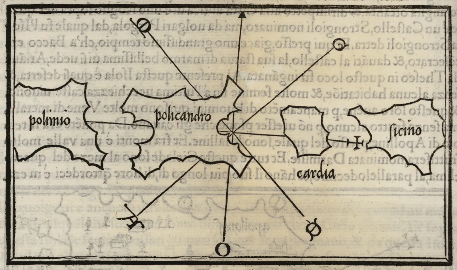
Map: Benedetto Bordone, 1547 (Public domain) · Wikimedia Commons
⚖️ Is it worth it? The pros and cons
Folegandros has become well known in recent years, but it still keeps its character. Here is an honest picture.
📊 At a glance, from 1 to 5
👍 The pros
- One of the finest Choras in the Cyclades, with no cars inside.
- Wild, dramatic landscapes, with cliffs and terraces.
- Clear water and beaches you can only reach by boat or on foot.
- A small, quiet island with no big hotels.
- Good food, with dishes of its own.
👎 The cons
- In August it fills up and prices rise.
- Strong meltemi wind in July and August.
- The best beaches require a walk or a boat.
- Few ferries in winter and spring.
🏘️ Chora and the Kastro
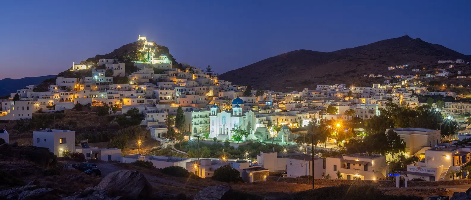
Chora is built right on the edge of a cliff, and from some spots you look straight down to the sea. Cars stay outside, and inside you will find paved streets, white churches and small squares, one after another, with tavernas and cafés under trees and vine pergolas. In the evening the whole island gathers here.
On the edge of the cliff is the Kastro, the medieval settlement from Venetian times. The two-storey houses are joined to one another, and their outer walls formed the defensive wall. You enter through a covered passage, and inside you see outside stone staircases, wooden balconies and flowerpots. People still live here, so walk quietly.
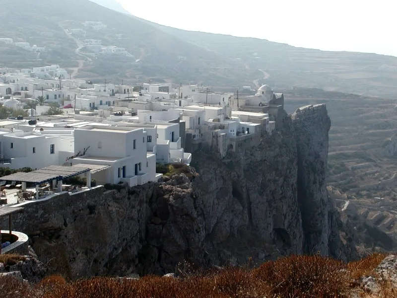
Chora, above the void.
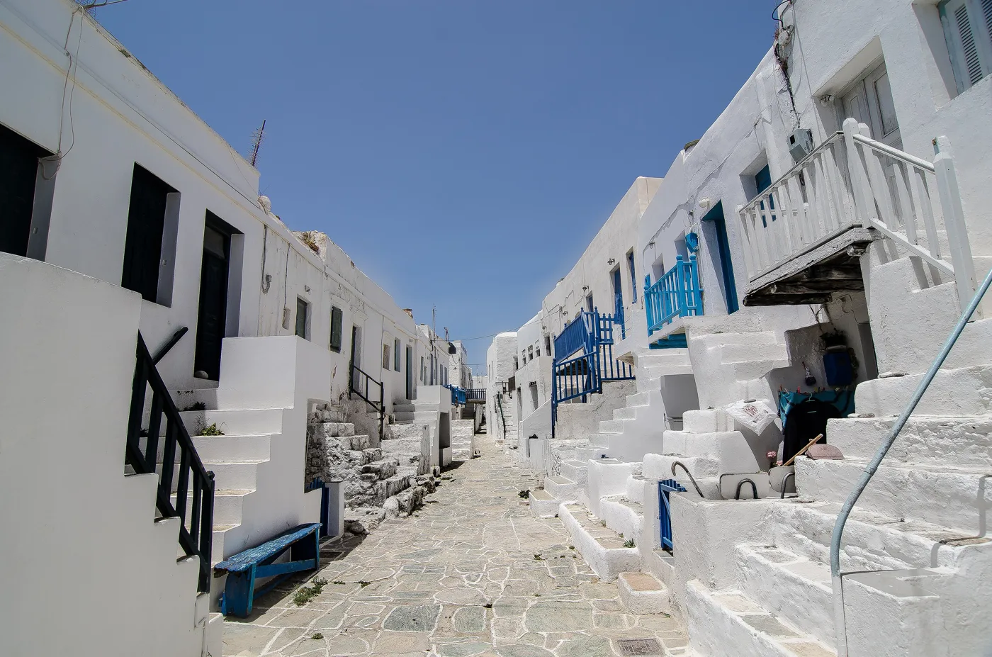
The houses were also the wall.
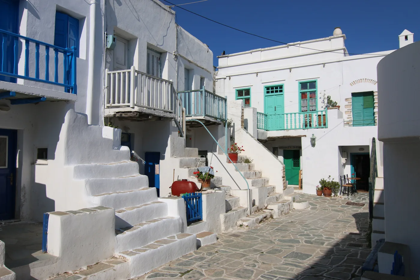
Stone staircases and wooden balconies.
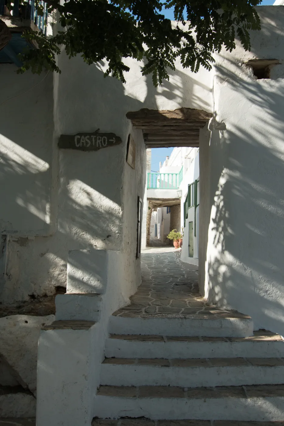
This is where you enter the Kastro.
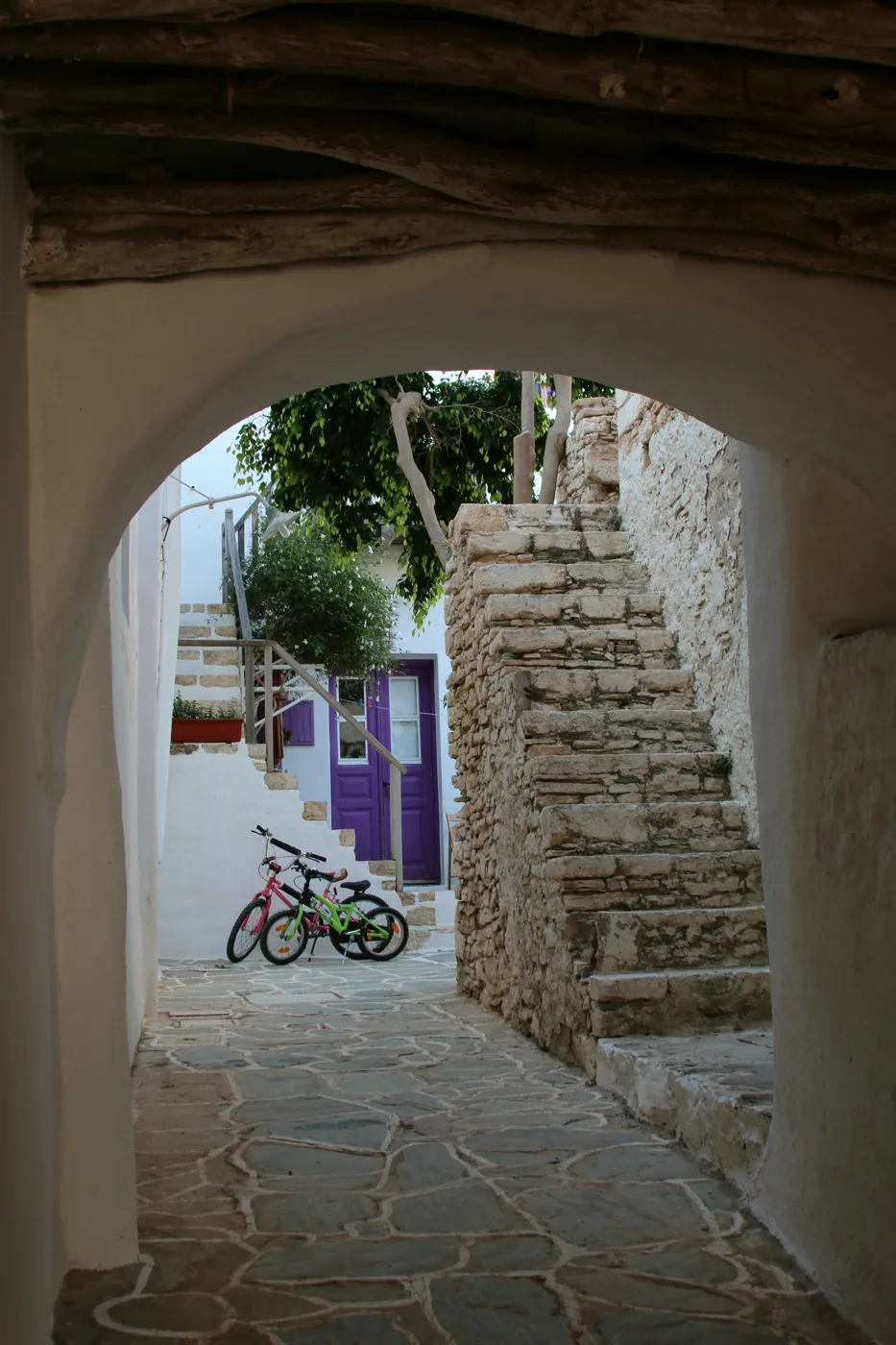
Arches and shade.
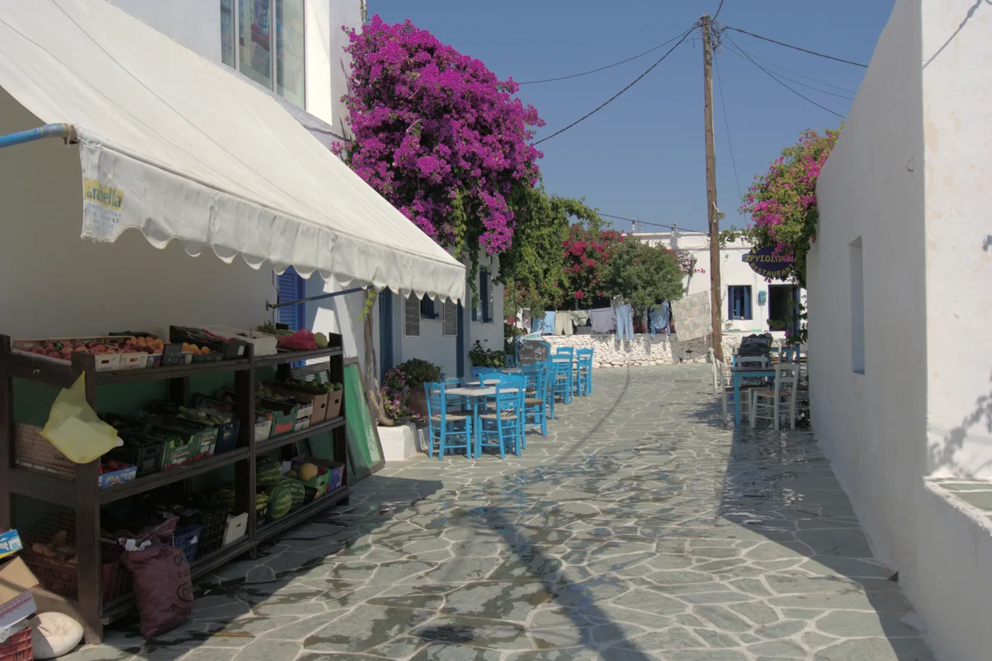
From square to square.
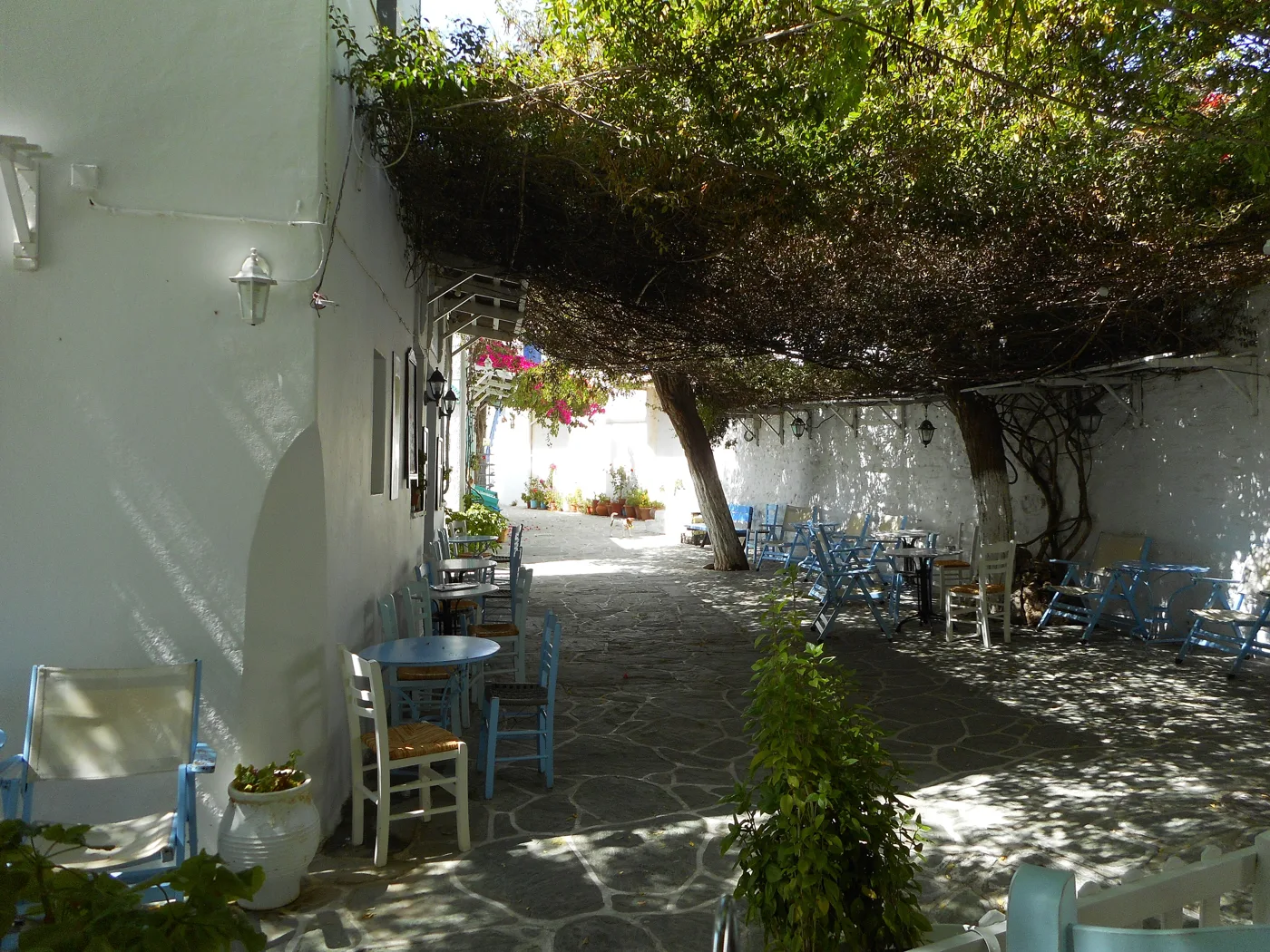
Tables under the trees.
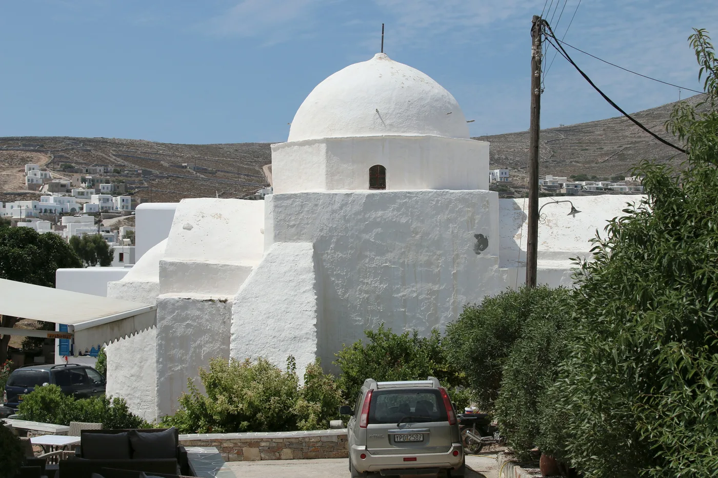
Whitewash everywhere.
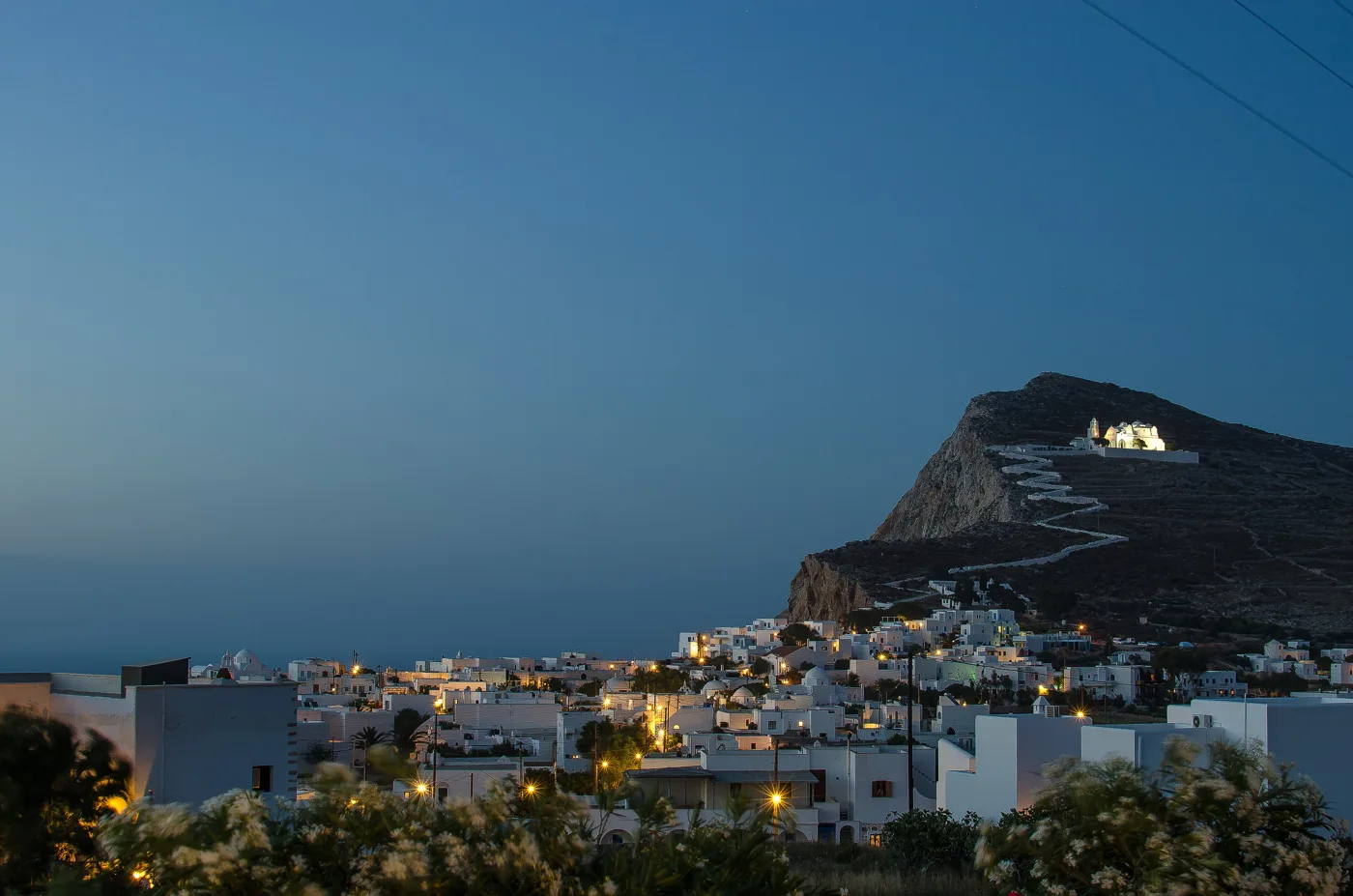
Chora lights up.
Photos: Frente (CC BY-SA 3.0), Etienne O. Dallaire (CC BY 4.0), Zde (CC BY-SA 4.0), Spyros L. (CC BY-SA 4.0) · Wikimedia Commons
⛪ Panagia and Chrysospilia
Above Chora, on a hill, stands Panagia, the most important church on the island. You reach it on a zigzag path, about 15 minutes uphill, and from the top you see the whole of Chora, the cliff and the sea. It is the best spot for the sunset. At Easter, the icon of the Virgin is carried around the island in a celebration that lasts for days.
In the cliff below the hill opens Chrysospilia, a cave with stalactites and ancient inscriptions on its walls. You can see it from the boat that sails around the island, but the entrance is not easy and visits only take place at certain times.
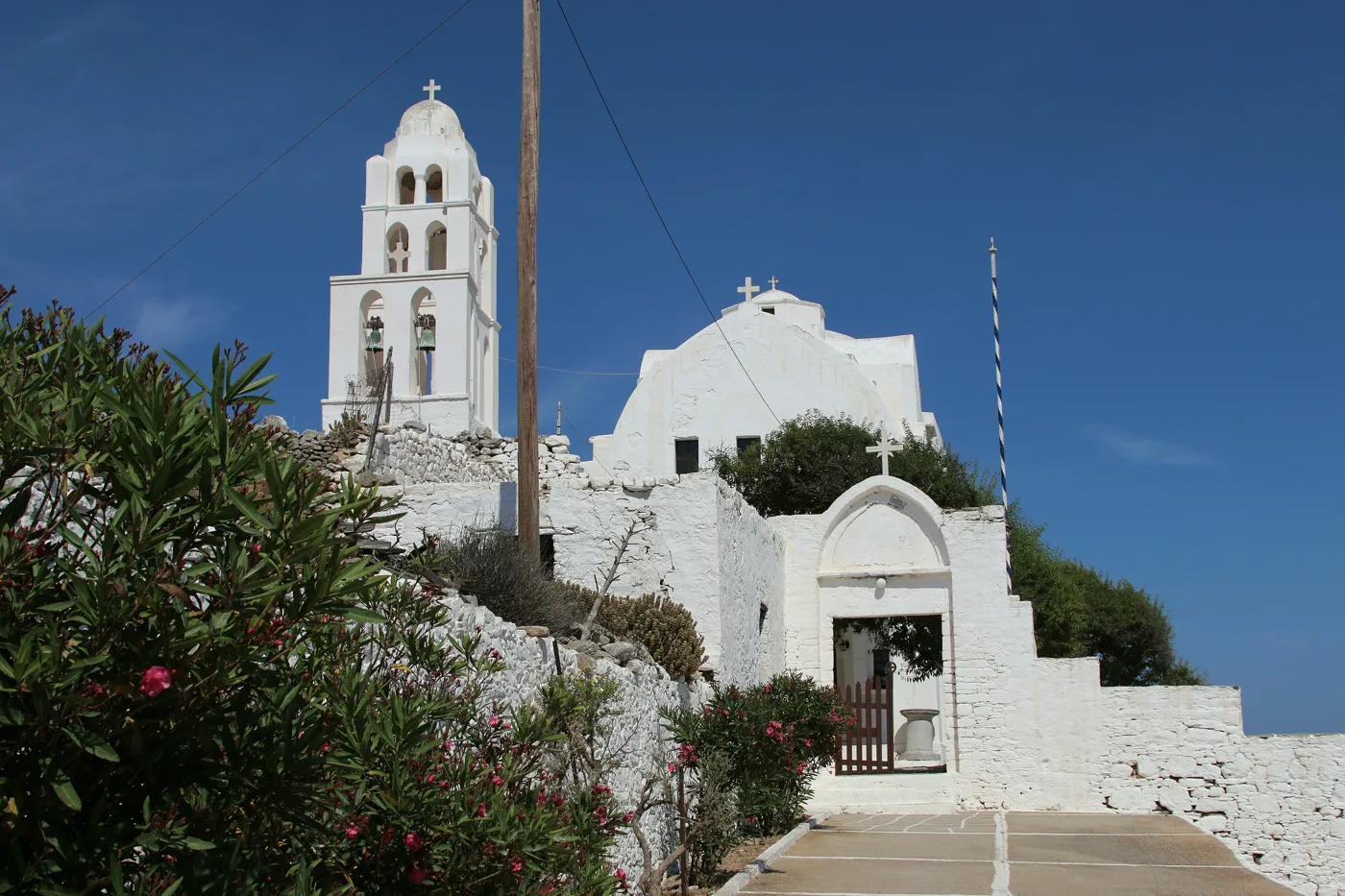
The bell tower and the courtyard.
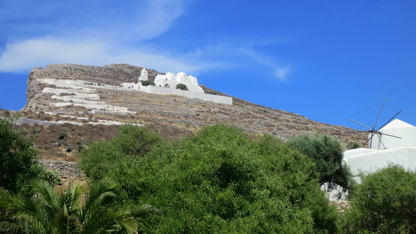
Above Chora.
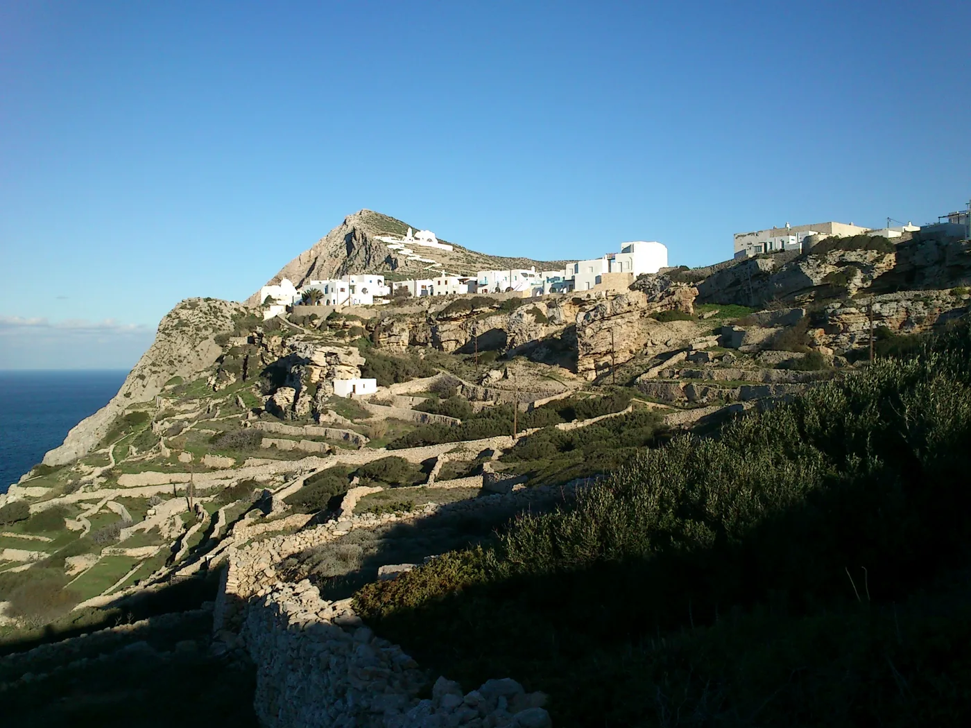
The path climbs the hill.
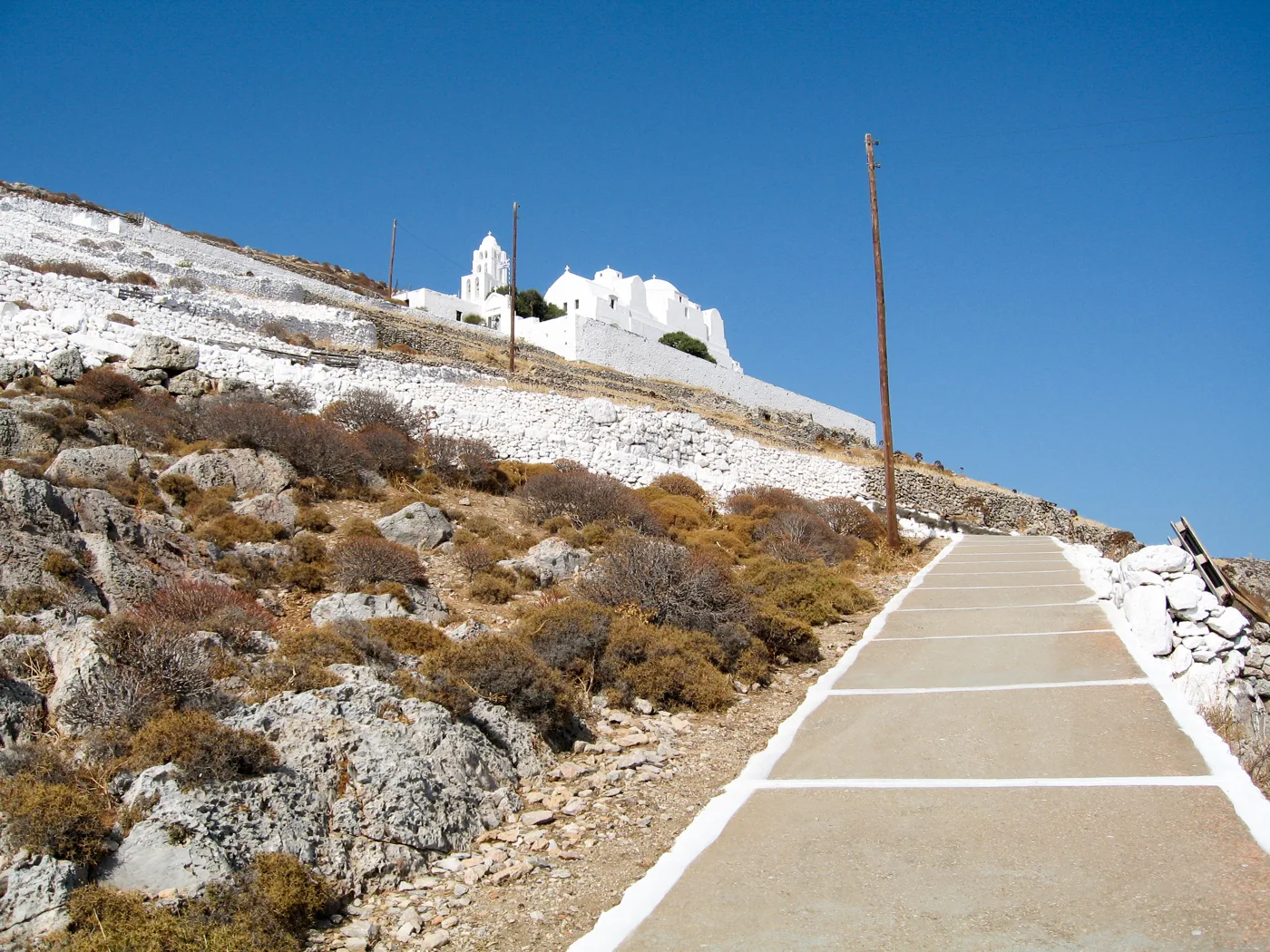
About 15 minutes uphill.
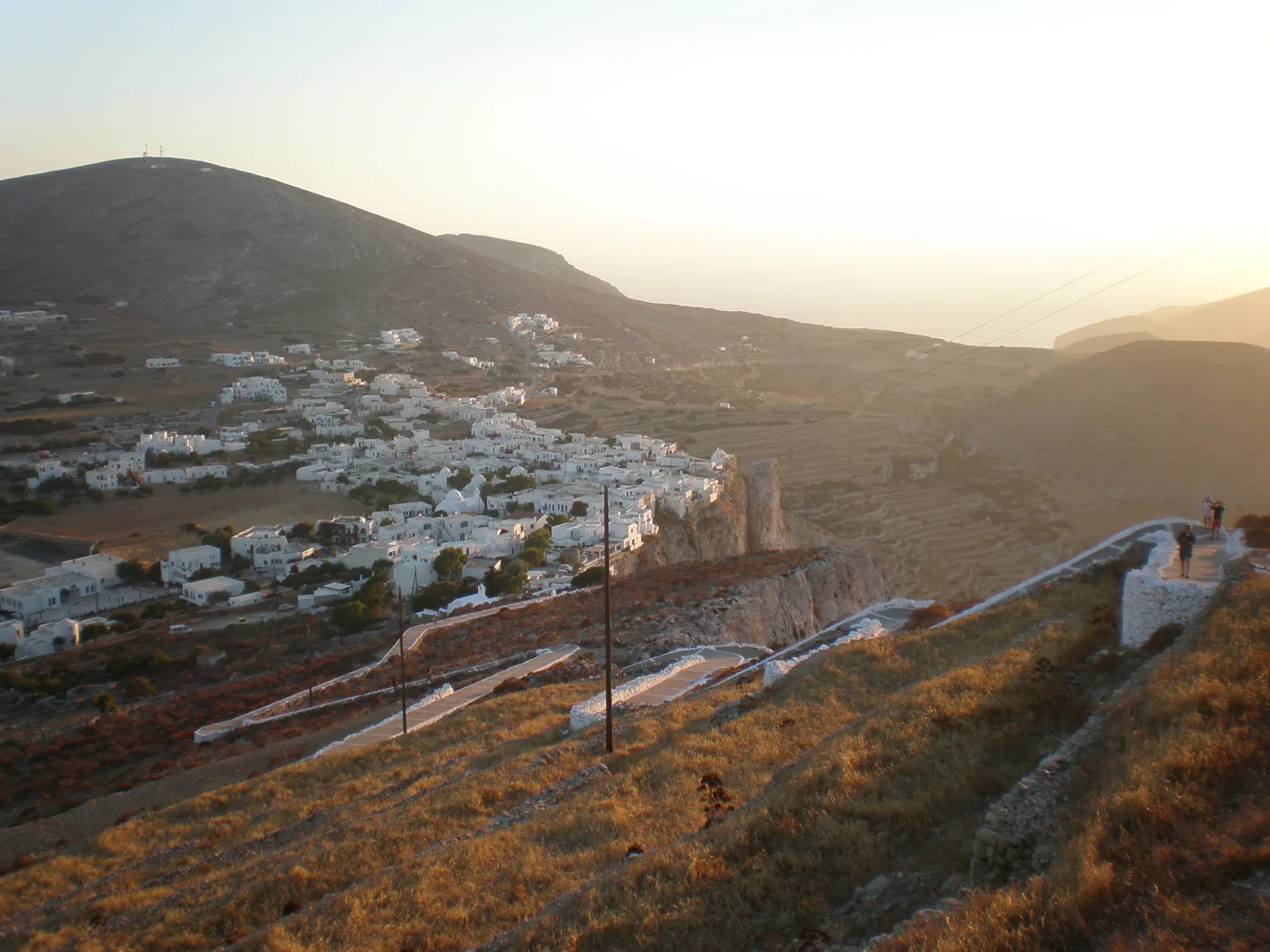
Chora from above.
Photos: Zde (CC BY-SA 4.0), Tiku (Public domain), Oliwan (CC BY-SA 3.0), Pel thal (CC BY-SA 3.0) · Wikimedia Commons
Set off for Panagia at least half an hour before sunset, in shoes fit for an uphill walk. Take a torch or your phone for the way down.
🌾 Ano Meria
West of Chora, Ano Meria is a farming village spread over a few kilometres, with houses among fields, dry-stone walls and threshing floors. Life here is slower, and you will still see donkeys on the roads. The Folklore Museum, in an old farmhouse, shows how people lived here. The tavernas of Ano Meria are among the best for the island’s own dishes.
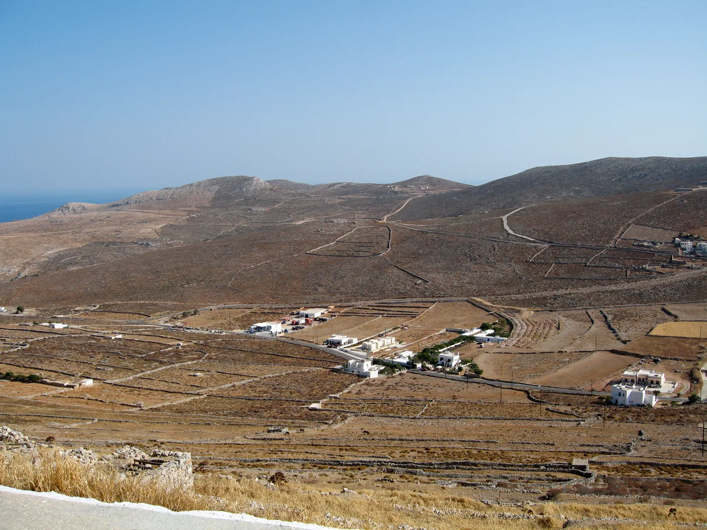
Houses scattered among the fields.
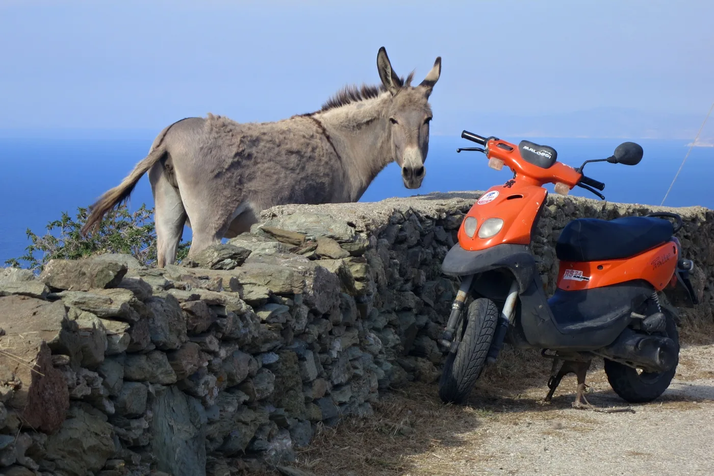
A donkey and a scooter.
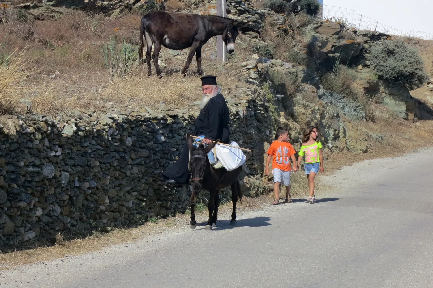
Life in Ano Meria.
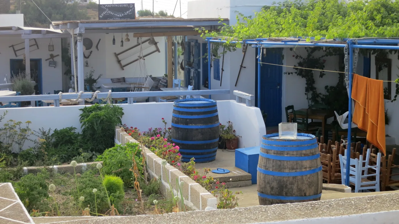
Wine and shade.
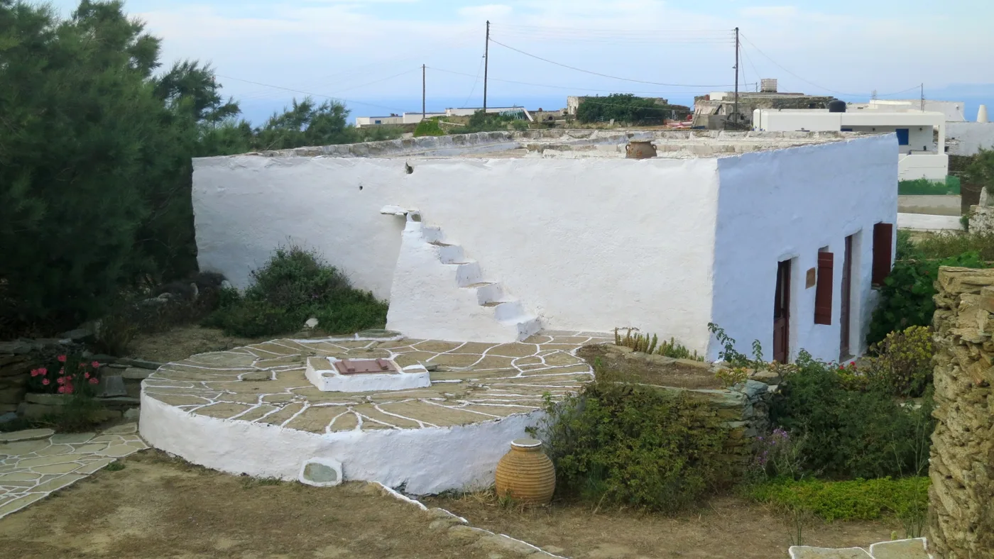
An old farmhouse.
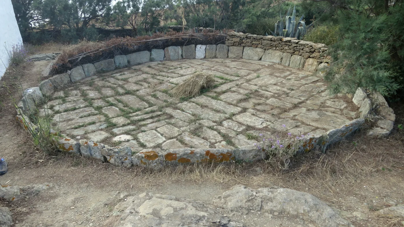
Where they threshed the wheat.
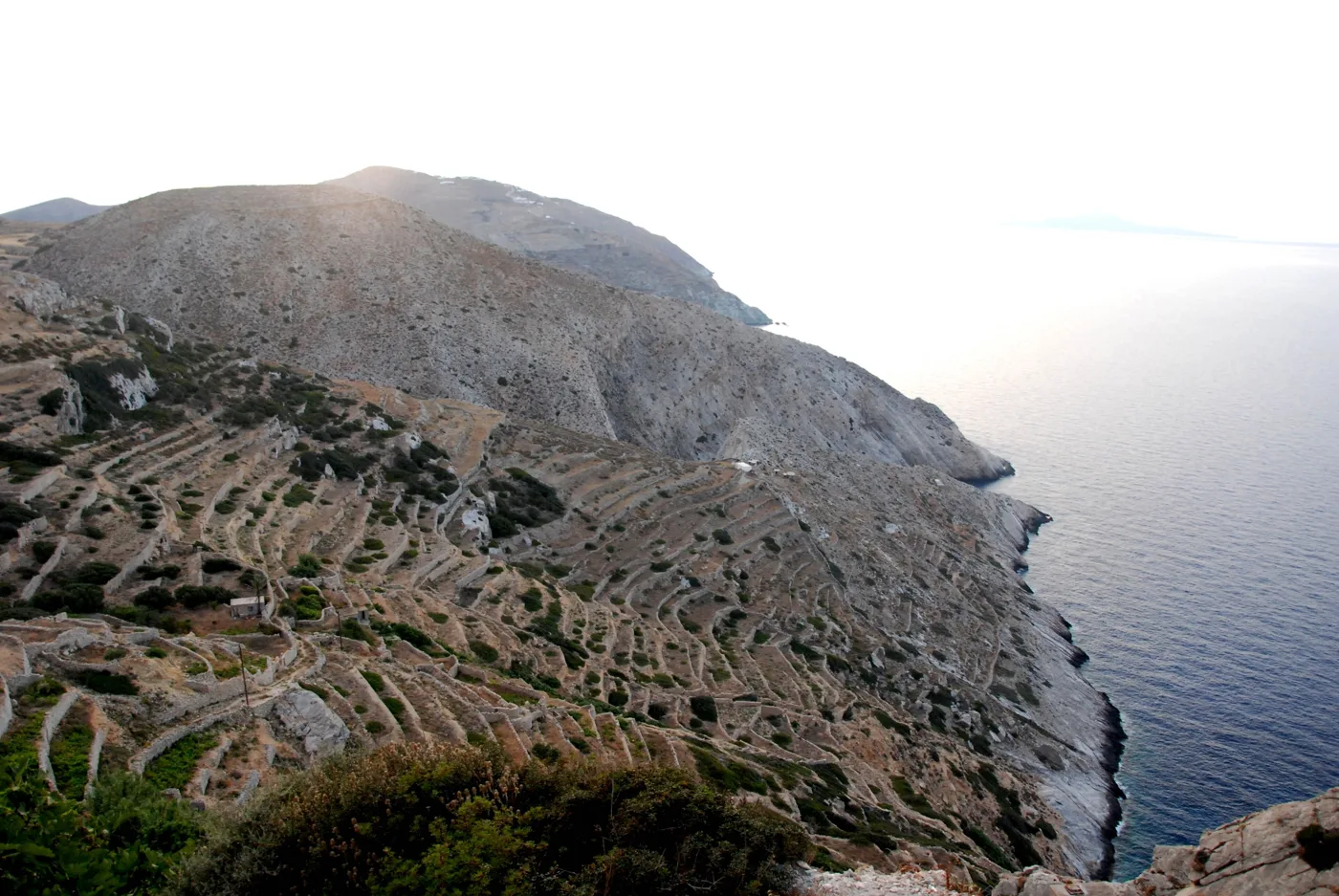
Fields built into the slope.
Photos: Oliwan (CC BY-SA 3.0), Zde (CC BY-SA 4.0), Porouclas (CC BY-SA 4.0) · Wikimedia Commons
⚓ Karavostasis
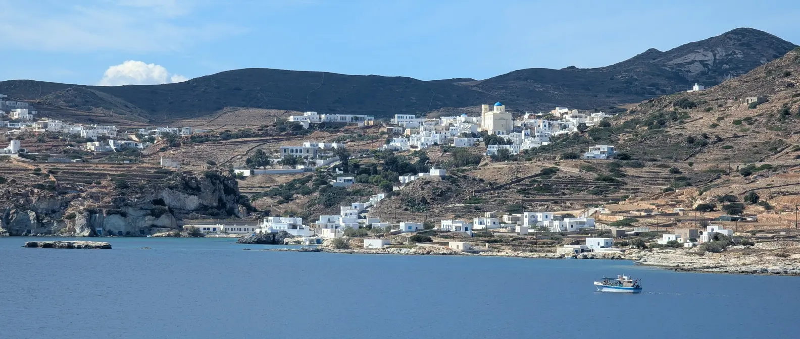
Karavostasis is the port, a small settlement with a few tavernas, places to stay and a beach. The boats to Katergo and around the island leave from here, as do the buses to Chora, about 10 minutes away by car. Next to it are Vardia and Livadi, two beaches for a quick swim.
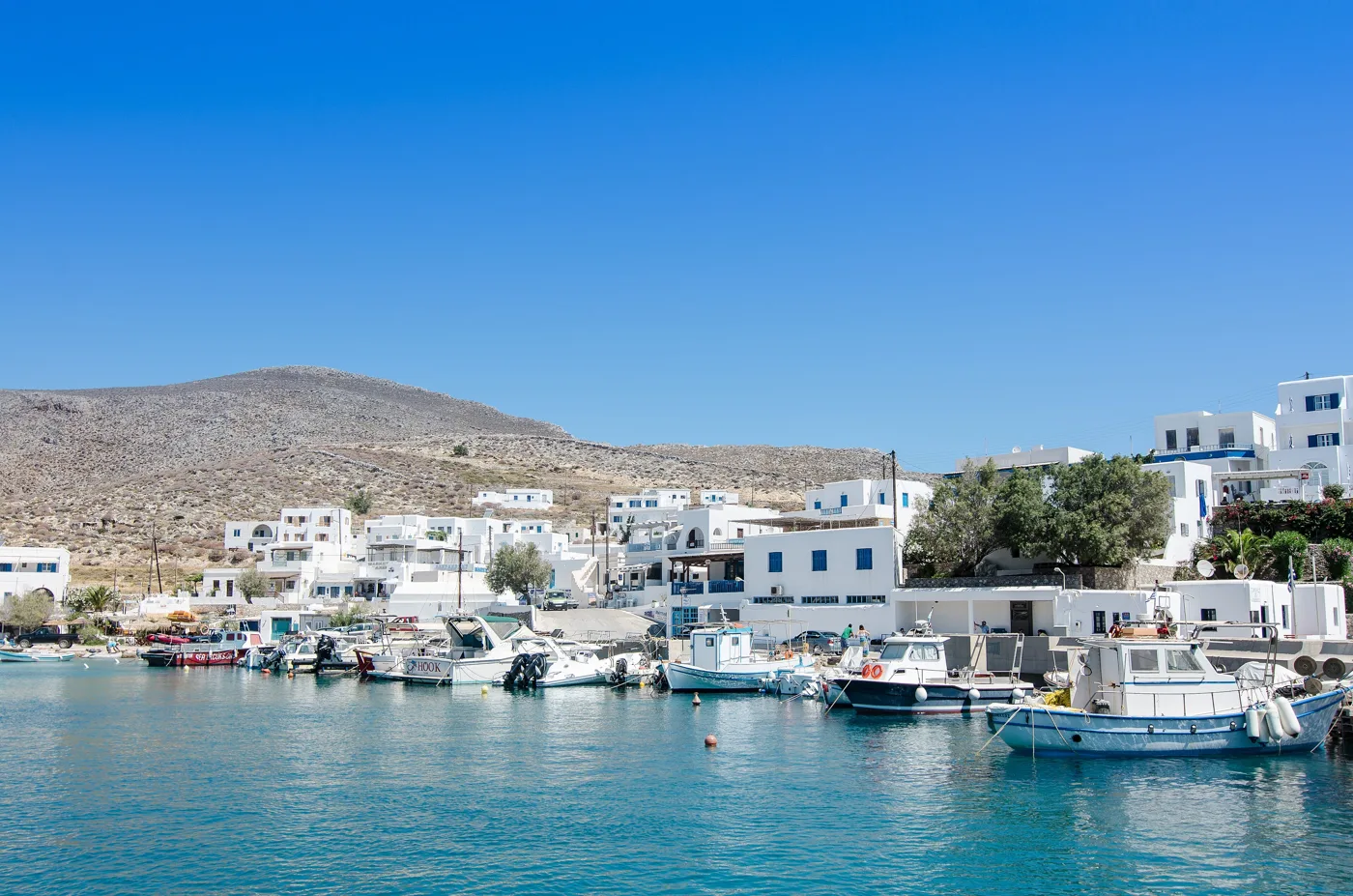
The island’s port.
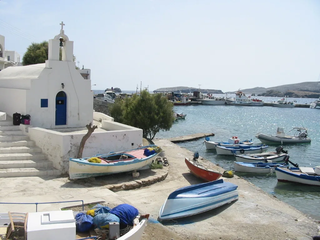
Boats by the waves.
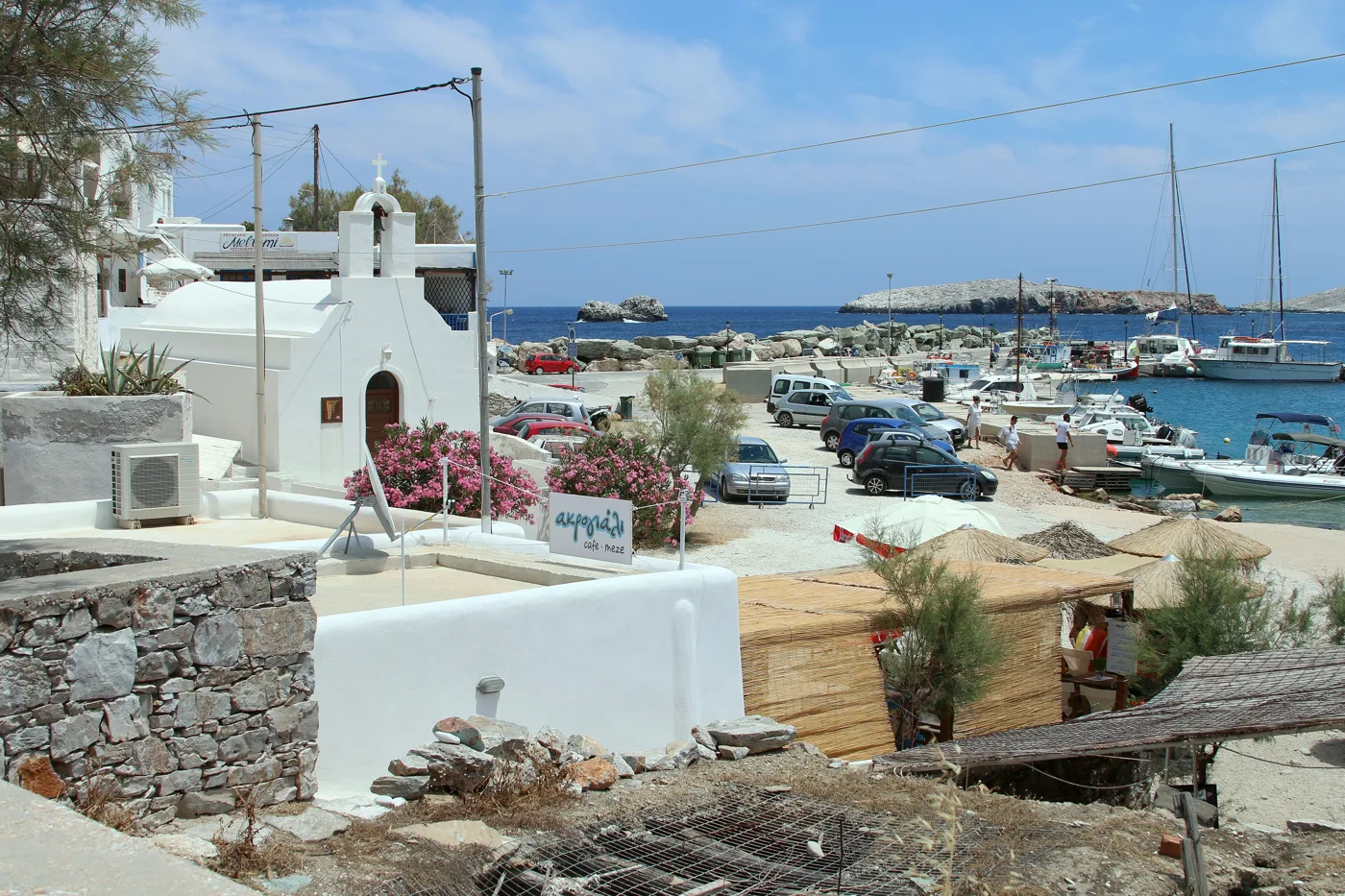
The ferries arrive here.
Photos: Etienne O. Dallaire (CC BY 4.0), Arnaud Malon (CC BY 2.0), Zde (CC BY-SA 4.0) · Wikimedia Commons
🏖️ The beaches
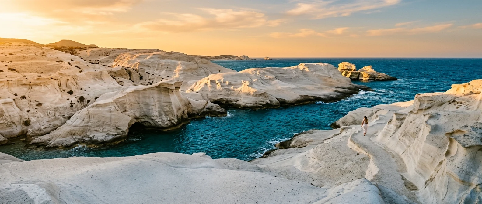
The best-known beach is Katergo, in the southeast, with fine pebbles, turquoise water and an islet opposite. There is no road: you get there on the boat from Karavostasis or on a path from Livadi. In the west, Angali has a road, tavernas and calm water, and from there a path takes you to Agios Nikolaos, with its tamarisks. Further on are Livadaki and, at the northern tip, Agios Georgios, which need a path or a boat.
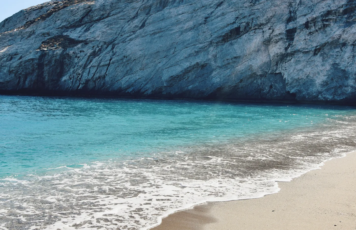
Only by boat or on foot.
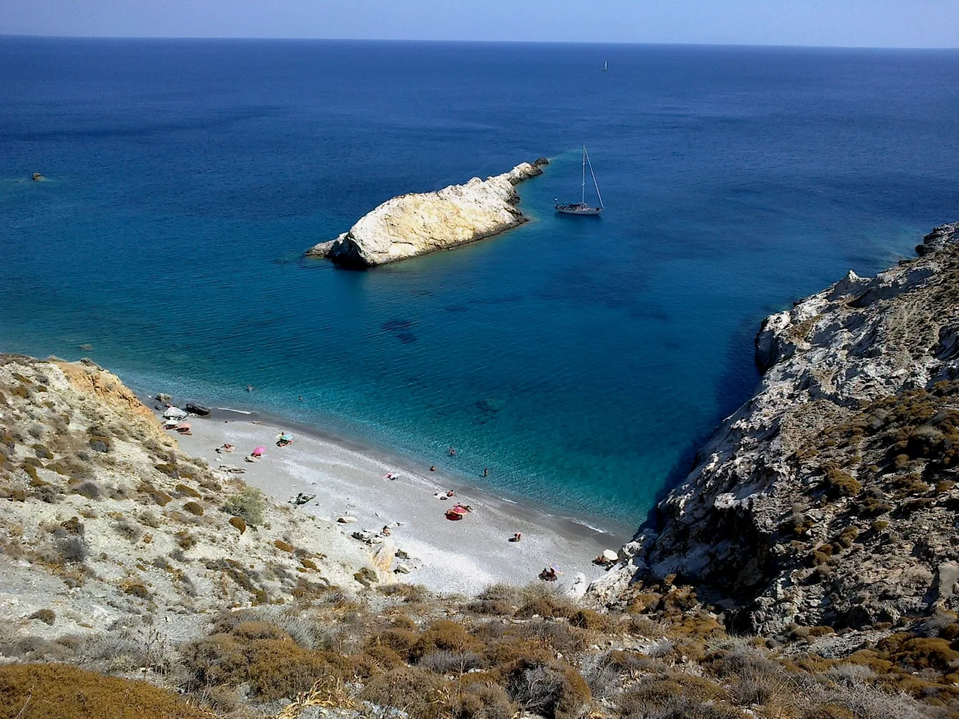
The islet opposite.
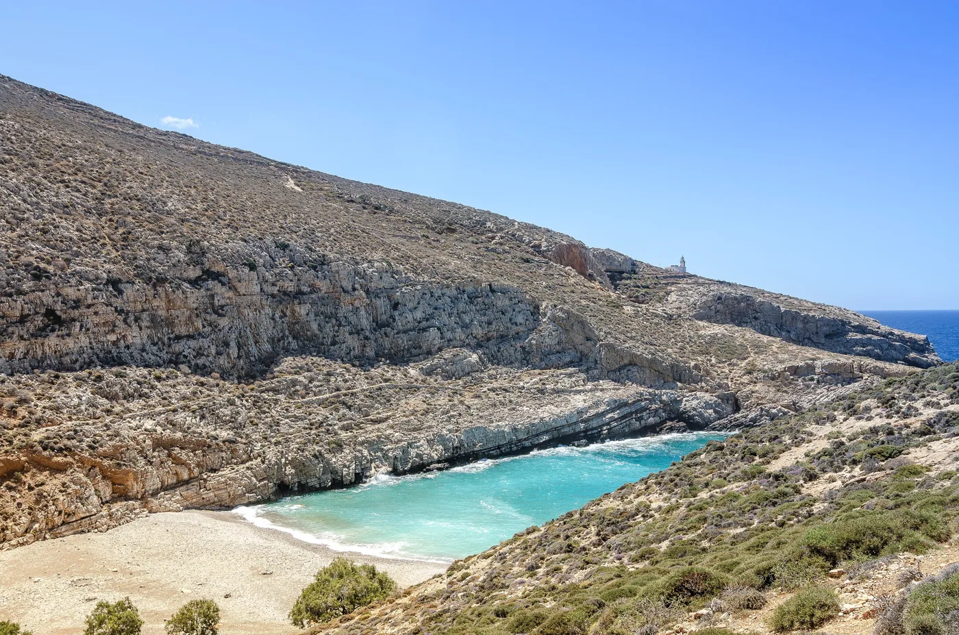
Below steep slopes.
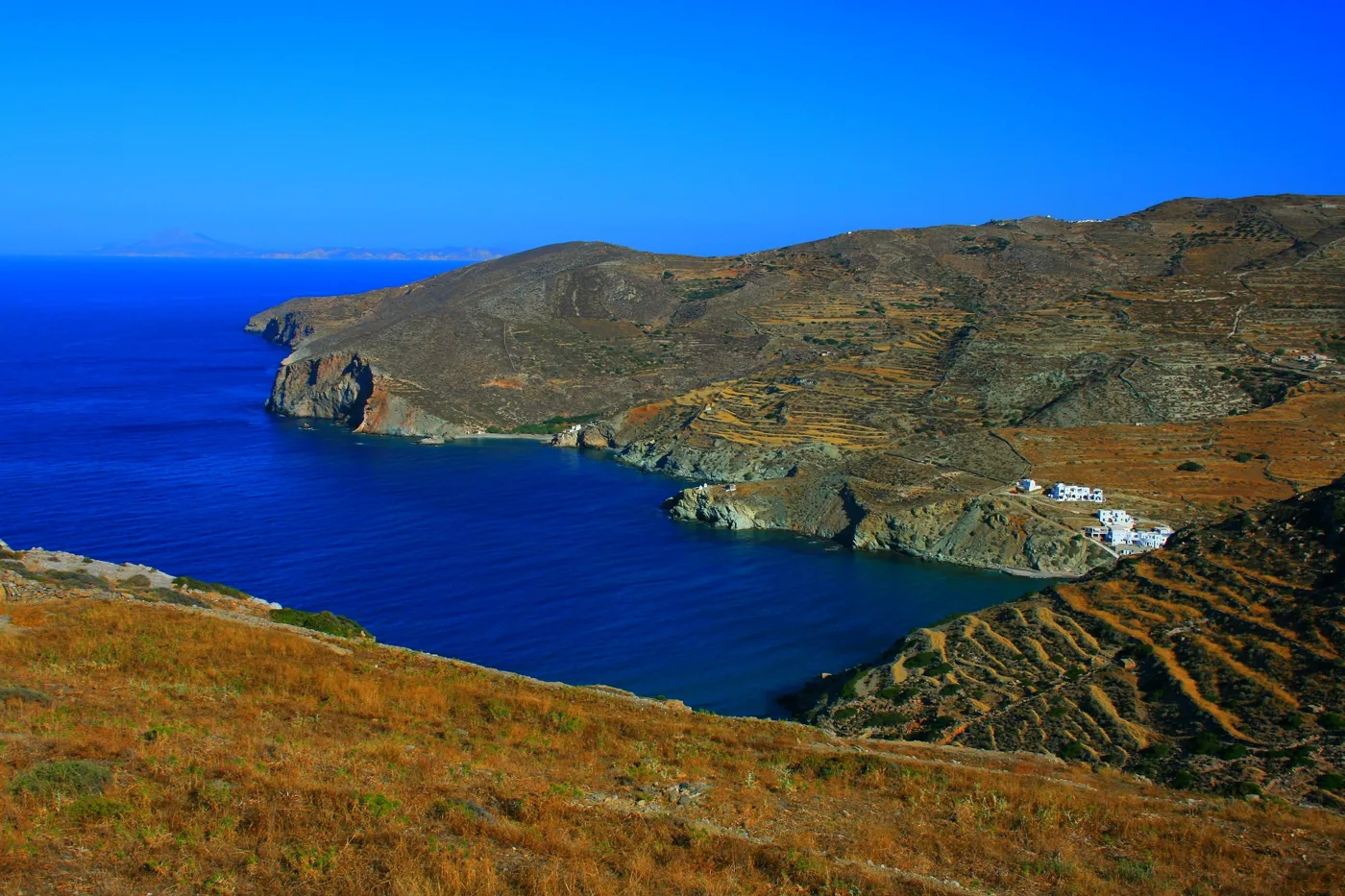
The bay, from above.
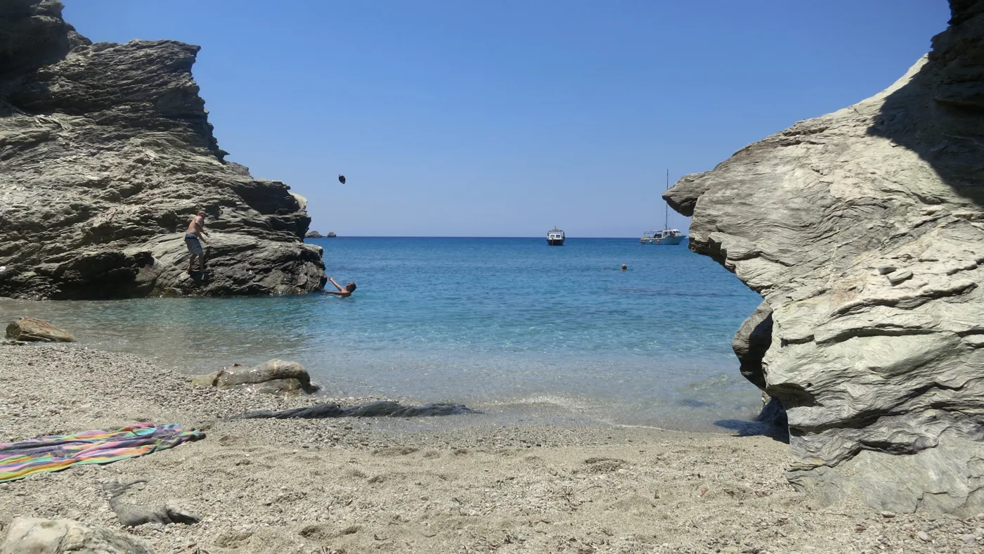
Calm water.
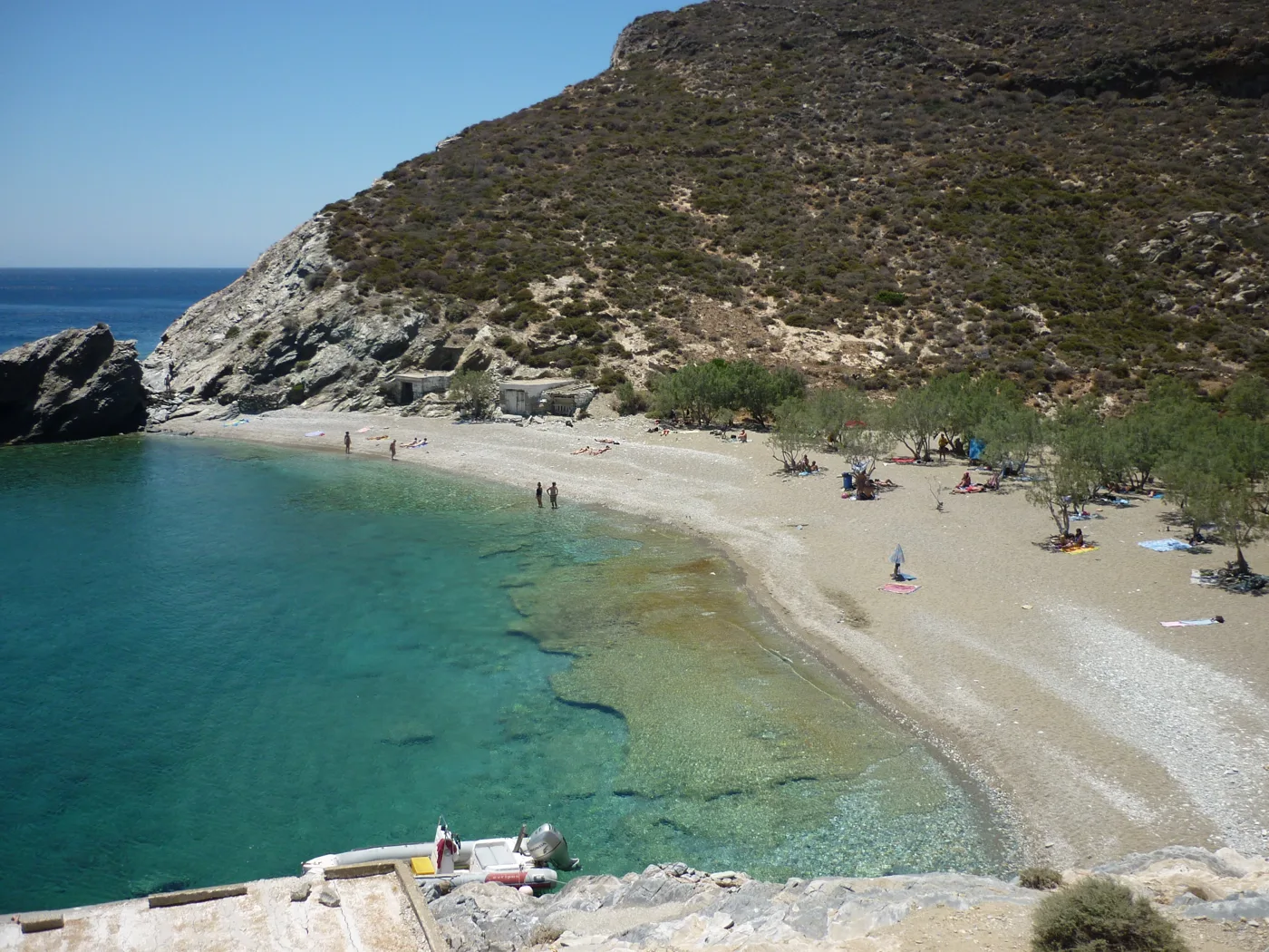
Tamarisks and sand.
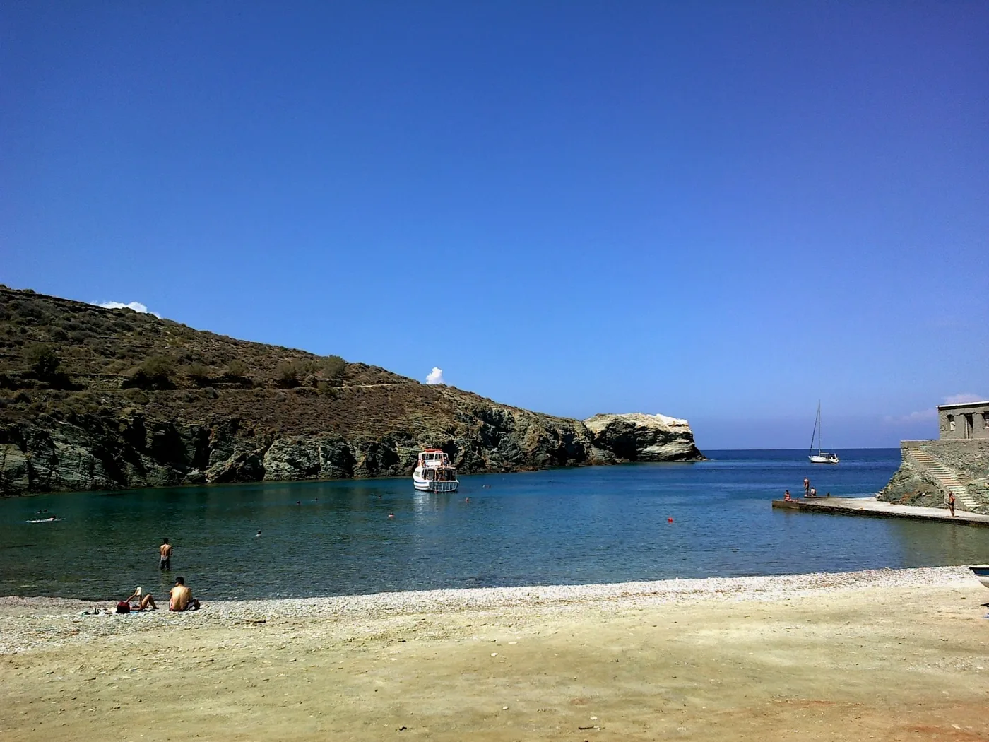
At the northern tip.
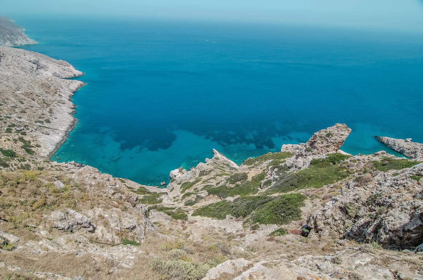
Cliffs and hidden coves.
Photos: Irini Papalexi (CC BY-SA 4.0), rene boulay (CC BY-SA 3.0), Etienne O. Dallaire (CC BY 4.0), Navin75 (CC BY-SA 2.0), Zde (CC BY-SA 4.0), Letzan (Public domain) · Wikimedia Commons
- Katergo: turquoise water, by boat or on foot.
- Angali: sandy beach with tavernas, reachable by road.
- Agios Nikolaos: tamarisks, on a path from Angali.
- Livadaki: wild cove, on foot or by boat.
- Agios Georgios: remote, at the northern tip.
- Vardia and Livadi: next to the port.
🍽️ What to eat
The dish of Folegandros is matsata, wide handmade pasta, usually with rooster or rabbit. Try souroto, a soft, tangy goat’s cheese, and karpouzopita, a sweet made with watermelon and honey. In the squares of Chora you will find rakomelo, and in Angali and Karavostasis fresh fish.
📅 When to go
June and September are the best months, with a warm sea, fewer people and gentler winds. In July and August a strong meltemi often blows, and in August the island fills up and prices rise. In winter many places close and ferries are few.
⛴️ How to get there from Athens
| How | Duration | From | Notes |
|---|---|---|---|
| Fast boat | About 4 hours | Piraeus | More expensive and faster, mainly in summer. |
| Conventional ferry | About 6 to 7 hours | Piraeus | Cheaper, with stops at other islands. |
From Ioulianou 50, Piraeus is about 40 minutes by metro. Book tickets early for August, and check the weather, because sailings change when the wind is strong. On the island, buses link the port, Chora, Ano Meria and Angali, and boats run to the beaches. Folegandros is easy to combine with Milos, Sikinos or Ios: see also our guide to Milos.
🗓️ Three days on Folegandros
Chora and Panagia
In the morning, walk around Chora and step into the Kastro. Just before sunset, climb the zigzag path to Panagia to watch the sun go down over the cliff. In the evening, dinner in one of Chora’s squares.
Katergo
From Karavostasis take the boat to Katergo and stay until midday. In the afternoon, swim at Livadi or Vardia, next to the port, and head back to Chora.
Ano Meria and Angali
By bus or car to Ano Meria, for the Folklore Museum and matsata at a taverna. Go down to Angali for a swim and walk on to Agios Nikolaos.
Frequently asked questions
Where should I stay on Folegandros?
In Chora, for the atmosphere, the squares and dinner in the evening. In Karavostasis, to be next to the port and the sea. In Ano Meria or Angali, for complete peace and quiet.
Do I need a car?
Not necessarily. Buses connect the main spots, and the best beaches are reached by boat or on foot. A scooter or a car for one day helps for Ano Meria and its paths.
Is Folegandros good for families?
Yes, for families who don’t mind walking. Angali and Livadi are easy for children. The steps of Chora and the paths are not for pushchairs.
How many days do I need?
Three days are enough for Chora, Panagia, Katergo and Ano Meria. Four to five if you want to walk the paths and see more beaches.
— Kathy