🪪 The island at a glance
📍 Where it is
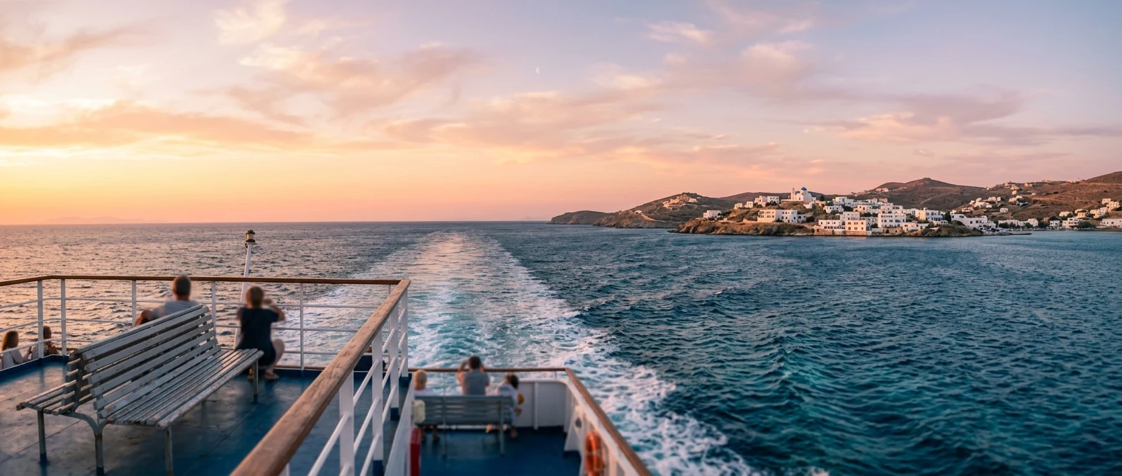
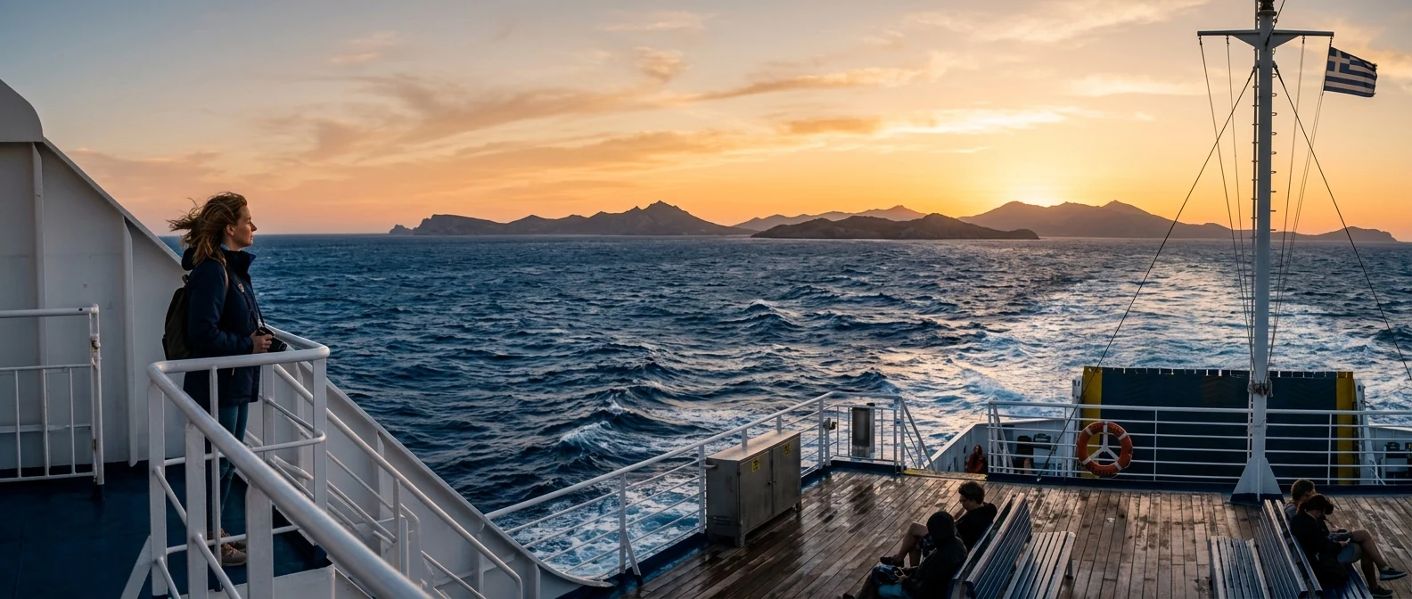
Amorgos is the easternmost island of the Cyclades, after Naxos and the Small Cyclades, on the way to the Dodecanese. It has no airport. From Piraeus the ferries take six hours by high-speed and eight to nine by conventional ferry, often overnight. The other way is to fly to Naxos or Santorini and take a ferry from there, two to three hours. The ferries call at both ports, Katapola and Aigiali.
📍 Where Amorgos is
Amorgos is the easternmost island of the Cyclades, after Naxos, on the way to the Dodecanese. The island is shown in red, and in green Piraeus, the Athens airport and Naxos, from where you arrive.
🗺️ The map of the island
Amorgos is thirty kilometres long and nowhere more than five wide, a ridge of mountains with cliffs to the east and bays to the west. In the middle are Katapola, the main port, Chora four hundred metres higher up, and Chozoviotissa on the other side of the mountain, with Agia Anna below. In the north, an hour’s drive away, is Aigiali, the second port, with Tholaria and Lagkada on the slope above. In the south, Mouros, Kalotaritissa and the shipwreck.
🗺️ Map of Amorgos
Amorgos is long and narrow, with mountains along its whole length. In the middle are Katapola, the port, Chora high on the mountain, and Chozoviotissa on the cliff of the east coast. In the north, Aigiali with Tholaria and Lagkada. In the south, Mouros and Kalotaritissa. Tap each number to see what it is.
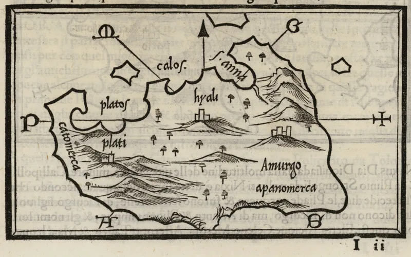
Map: Benedetto Bordone, 1547 (Public domain) · Wikimedia Commons
⚖️ Is it worth it? The pros and cons
Amorgos is an island for scenery, walking and quiet. It is not an island for sandy beaches and parties, and the journey is long. Here is an honest picture.
📊 At a glance, from 1 to 5
👍 The pros
- Chozoviotissa, a monastery hanging on a three-hundred-metre cliff.
- One of the most beautiful Choras in the Cyclades, still authentic.
- Footpaths with views for those who walk.
- A quiet island, far from mass tourism.
- Aigiali, with a sandy beach and three villages on the slope above.
👎 The cons
- Far away: six to nine hours by ferry, with no airport.
- Few and small beaches, most with pebbles.
- Two ports far from each other, an hour’s drive.
- It blows hard in July and August.
⛪ Chozoviotissa and Agia Anna
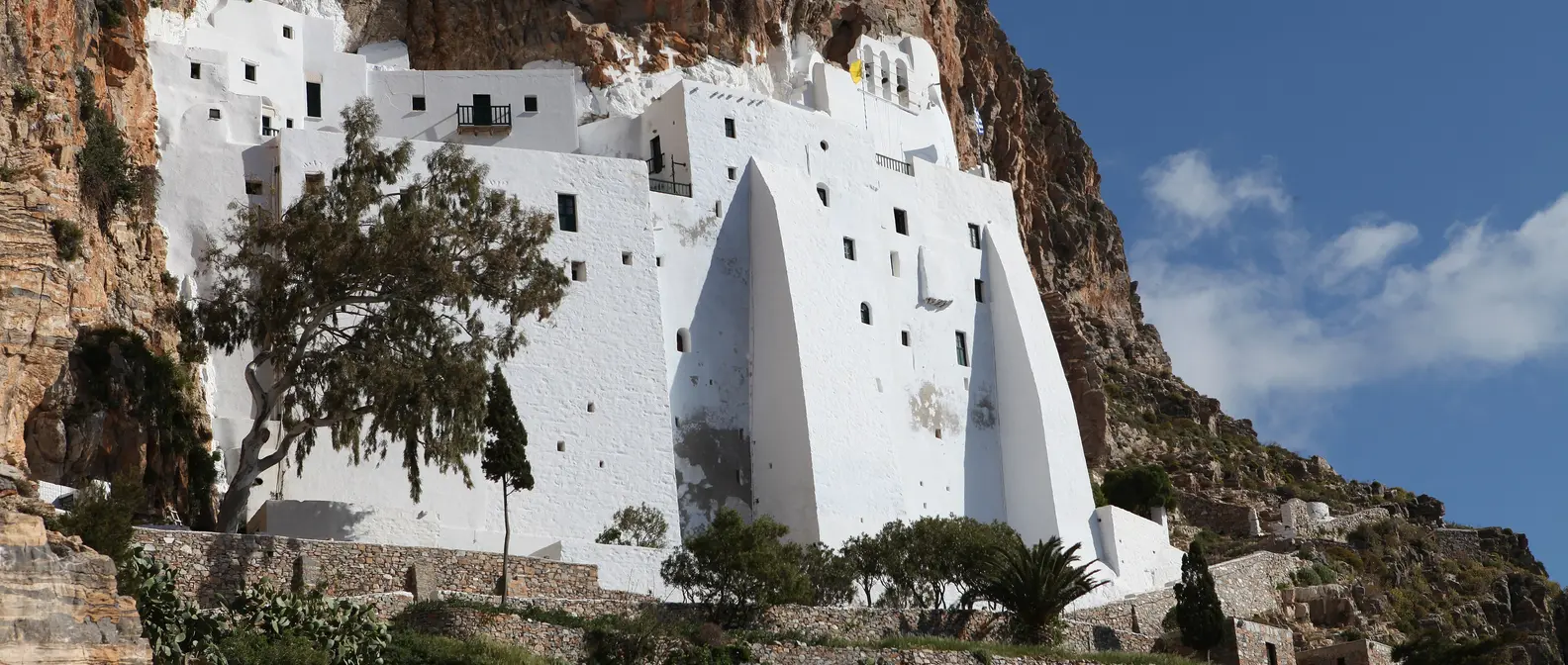
The Monastery of Chozoviotissa is the image of Amorgos: a dazzling white building eight storeys high and only five metres wide, glued to a vertical red rock three hundred metres above the sea. It was built in 1088 by the emperor Alexios Komnenos, to house an icon of the Virgin that, according to tradition, came from Chozova in Palestine. You climb three hundred steps, pass through a door so low that you stoop, and inside, in narrow corridors and small rooms carved into the rock, the monks offer you psimeni raki and loukoumi, and show you the view from the terrace: only sea, to the horizon.
Below the Monastery, at Agia Anna, two small pebble beaches between rocks and a white chapel. Here, in the deep blue water, Luc Besson filmed “The Big Blue” in 1988, and since then Amorgos has been the island of the film. The shipwreck seen in the film is real: the cargo ship “Olympia”, which ran onto the rocks in 1980 and is still rusting in a bay at the southern tip of the island, near Kalotaritissa.
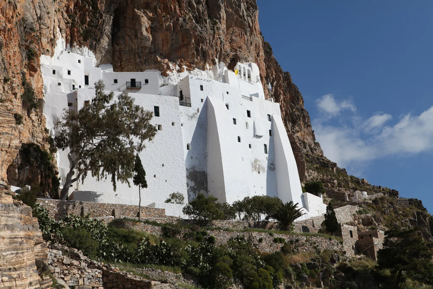
Eight storeys, five metres wide, on the rock.
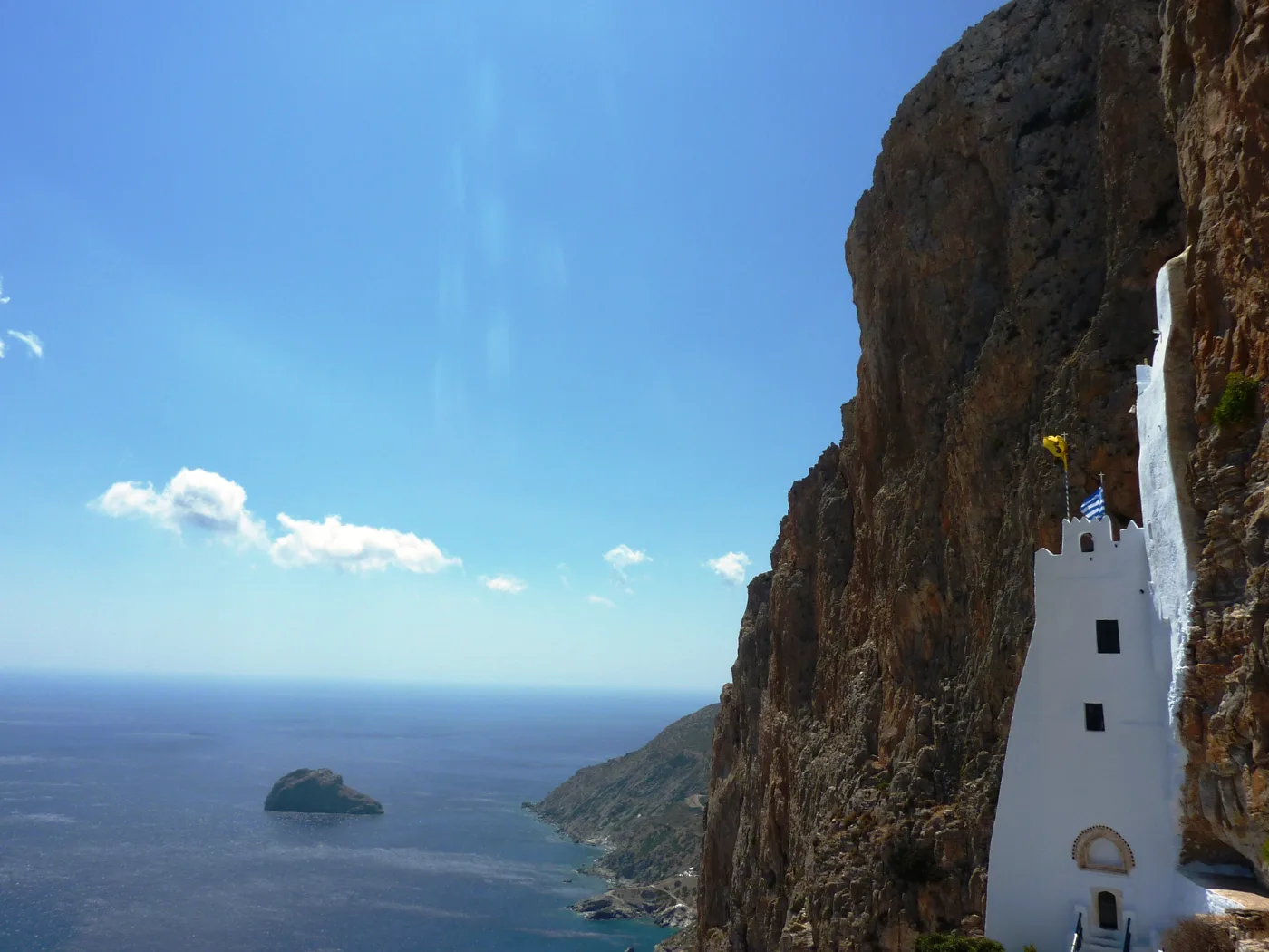
Three hundred metres above the sea.
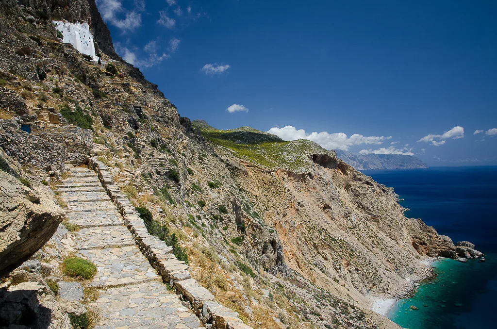
Three hundred steps to the door.
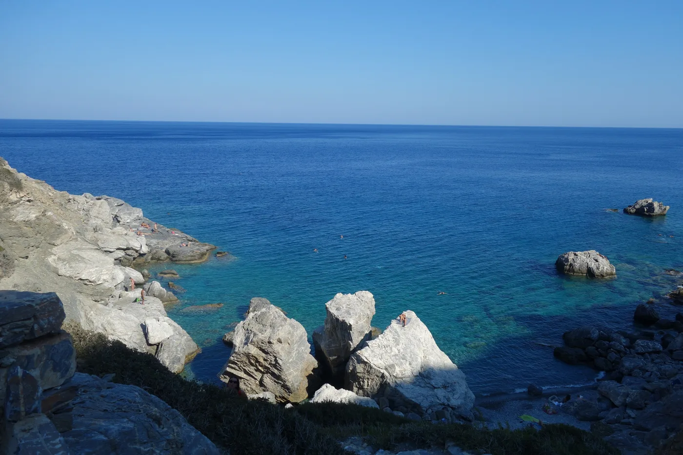
The rocks of “The Big Blue”.
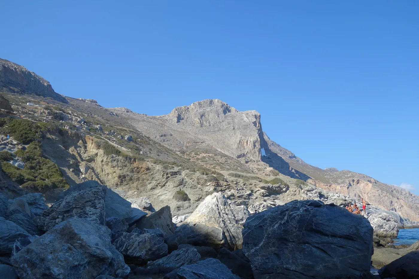
The Monastery from below, on the rock.
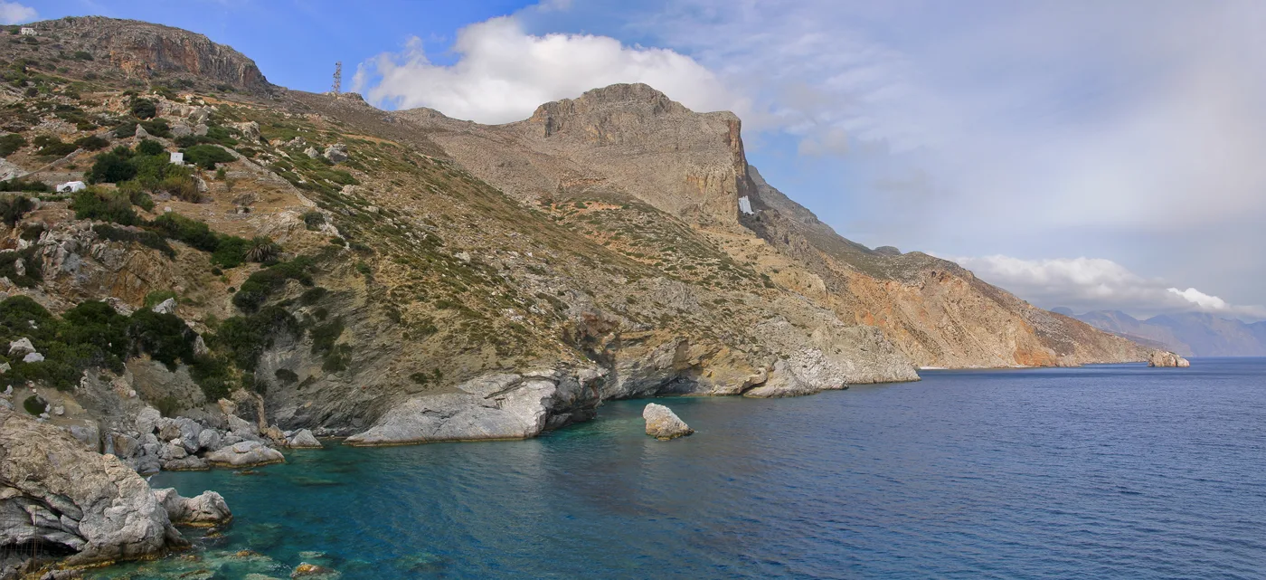
Cliffs along the whole length of the island.
Photos: Apenauta (Public domain), Chris Kar (CC BY-SA 4.0), Spiders66 (CC BY-SA 4.0), Zde (CC BY-SA 4.0), Martin Kraft (CC BY-SA 3.0) · Wikimedia Commons
Chozoviotissa opens in the morning, until early afternoon, and again in the late afternoon. Go up early, before it gets hot. Long trousers are required for men, skirts for women, and covered shoulders, and at the entrance they lend you clothes if you have none.
🏘️ Chora
Amorgos Chora is hidden high on the mountain, four hundred metres above Katapola, invisible from the sea, as the pirates made it necessary. It is one of the most beautiful in the Cyclades: dazzling white houses, lanes with arches, forty churches and squares with plane trees and cafés. In its middle, on a rock, stands the Kastro, a Venetian tower of the 13th century, and around it the smallest churches on the island. On the ridge above, the windmills are the place for the sunset, with a view of Katapola and, on the other side, the sea of Chozoviotissa.
Chora has life in the evening, as much life as Amorgos can have: tavernas, cafés with raki and meze, and a bar or two. The footpaths start from here, to Chozoviotissa, to Katapola and, the longest, the Palia Strata to Aigiali.
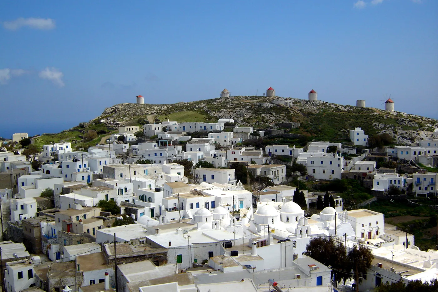
White, high on the mountain, with the windmills on the ridge.
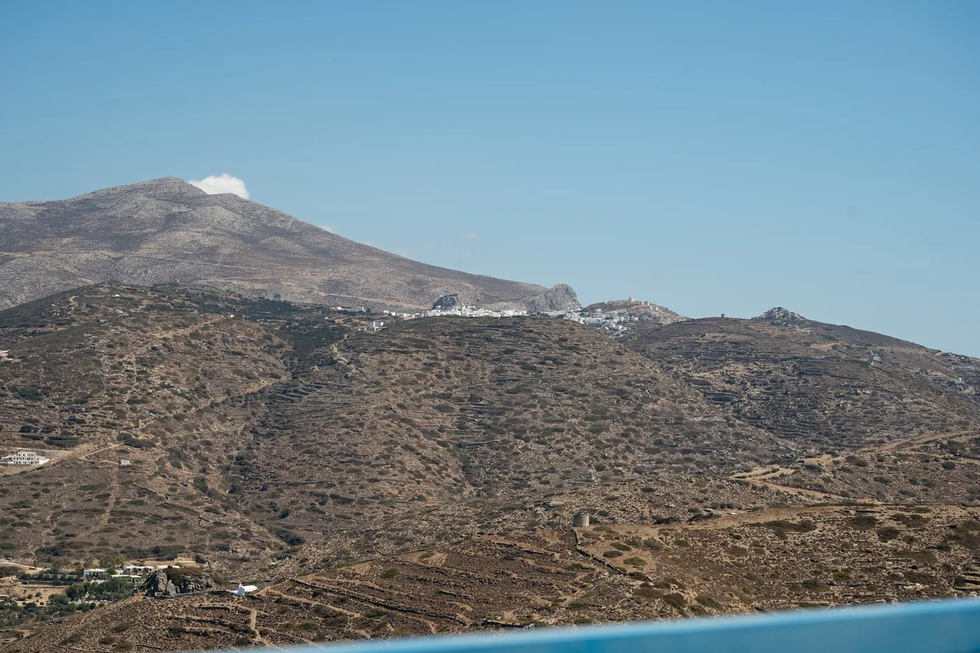
Four hundred metres above the sea.
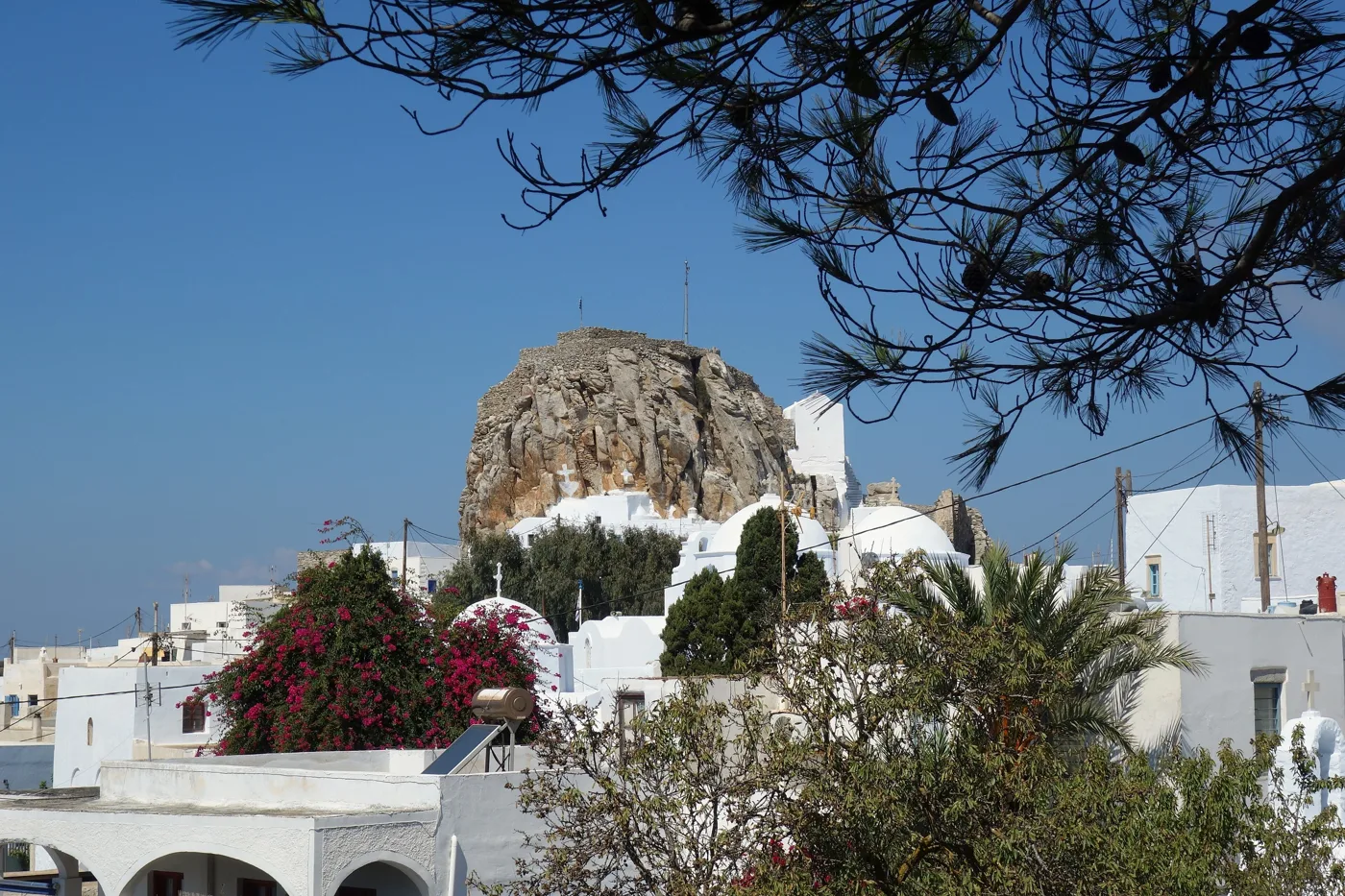
A rock in the middle of the village.
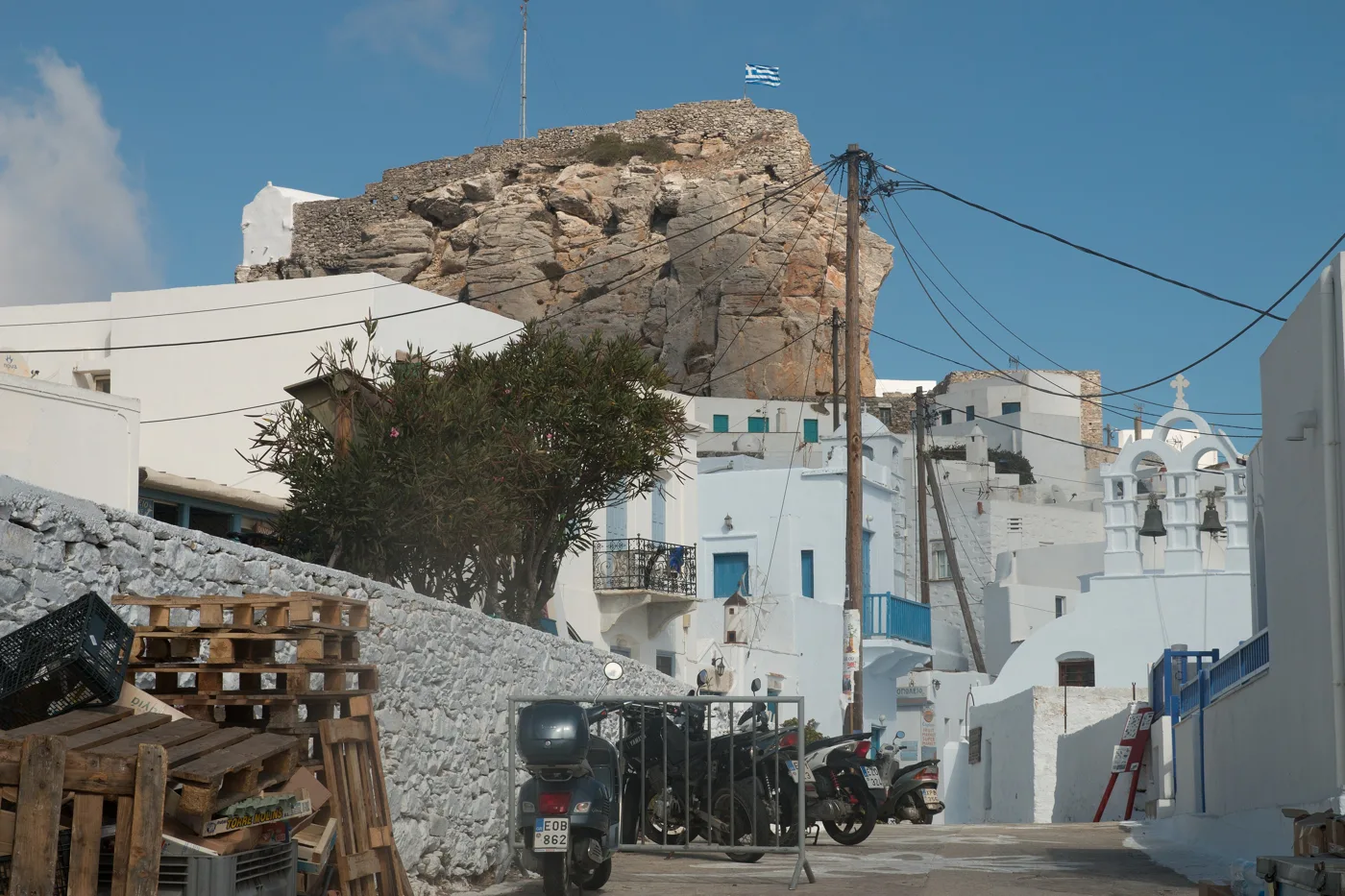
Churches around the rock.
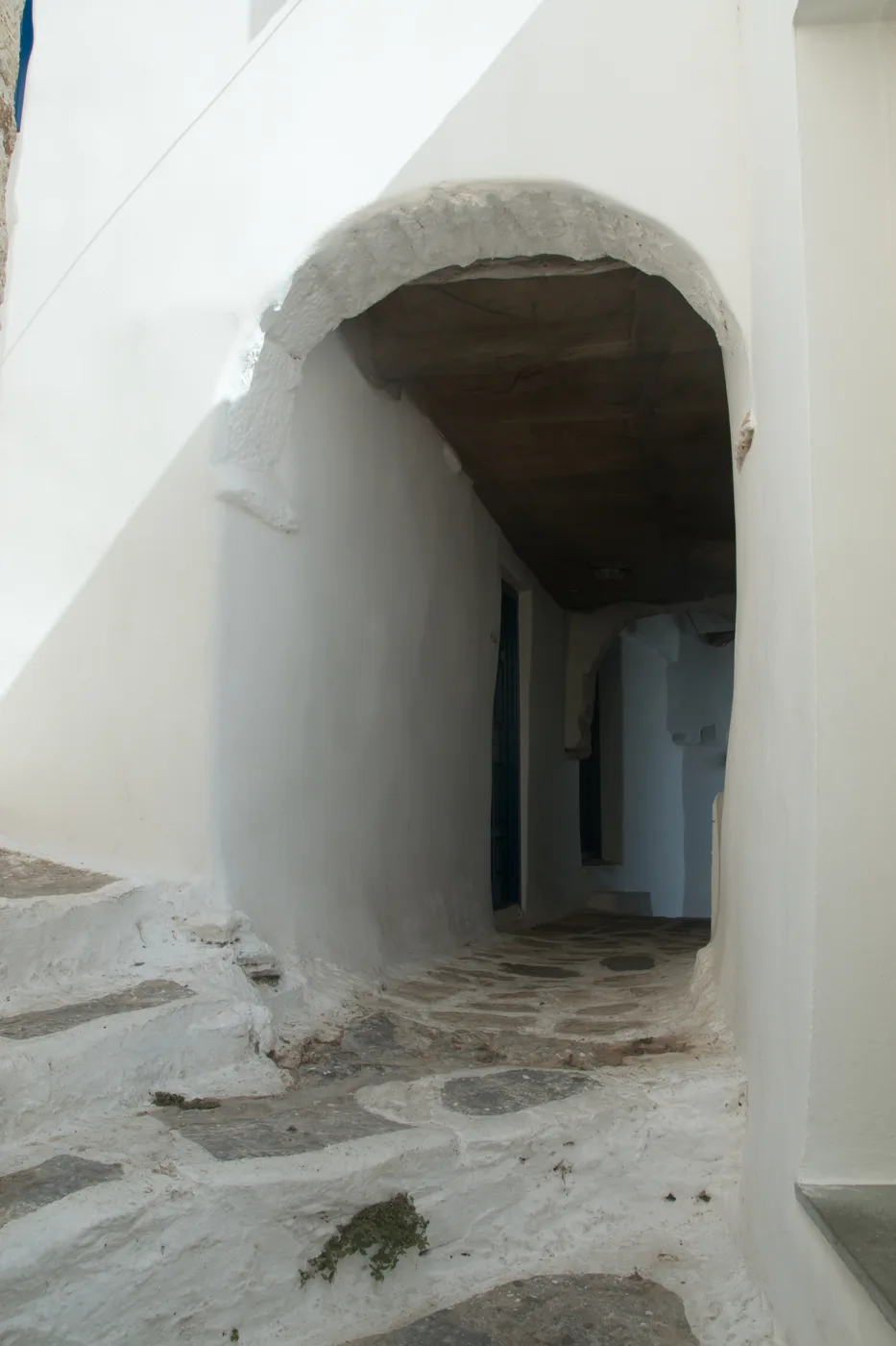
White, with arches.
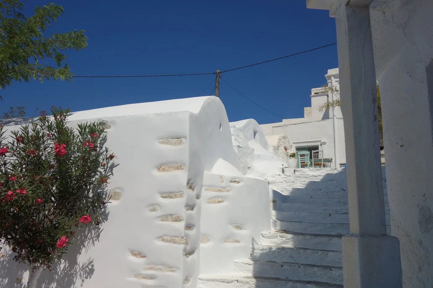
White steps and oleanders.
Photos: Stathis24 (Public domain), Zde (CC BY-SA 4.0) · Wikimedia Commons
The raki of Amorgos is “baked” with honey and spices, and is drunk hot or cold, with loukoumi. They will offer it to you at the Monastery and you will find it in every café in Chora. Take a bottle home.
⛵ Katapola, Aigiali and its villages
Katapola is the main port, three small villages around an enclosed bay, with tavernas, cafés and boats to the beaches. Above them, on the hill, are the ruins of Minoa, the ancient city, with a view over the whole bay. Aigiali, in the north, is the other face of the island: a big bay with the only large sandy beach on Amorgos, a lively harbour village, and on the slope above three villages, Tholaria, Lagkada and Potamos, white, with views, tavernas and festivals.
Amorgos is an island for walking. Its old footpaths are waymarked: from Chora to Chozoviotissa, from Tholaria to Lagkada, and the Palia Strata, the old road from Chora to Aigiali, four to five hours above the cliffs of the east coast, with the sea below you all the way.
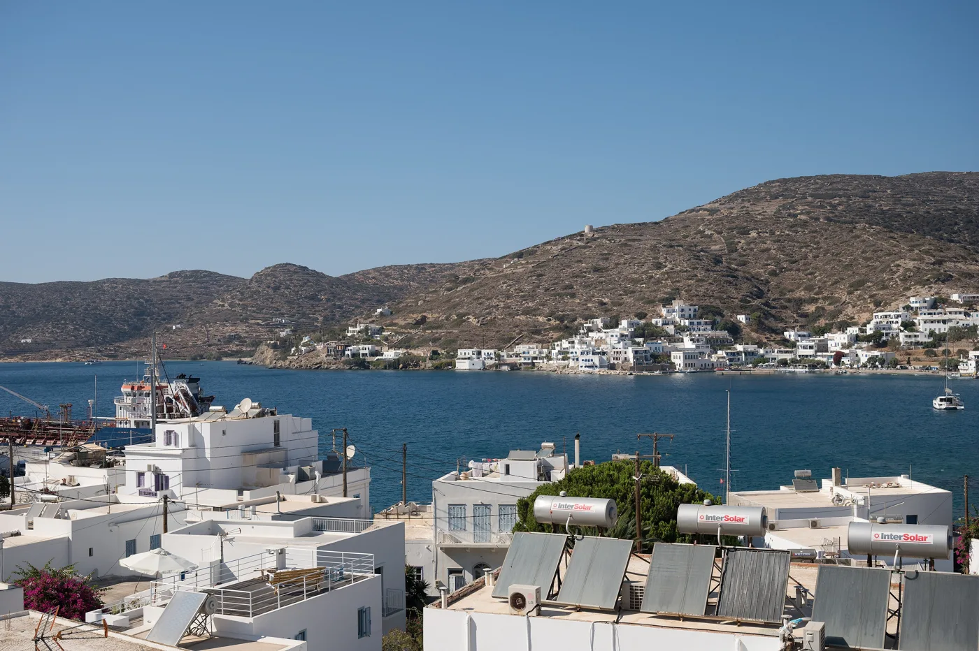
The port, in an enclosed bay.
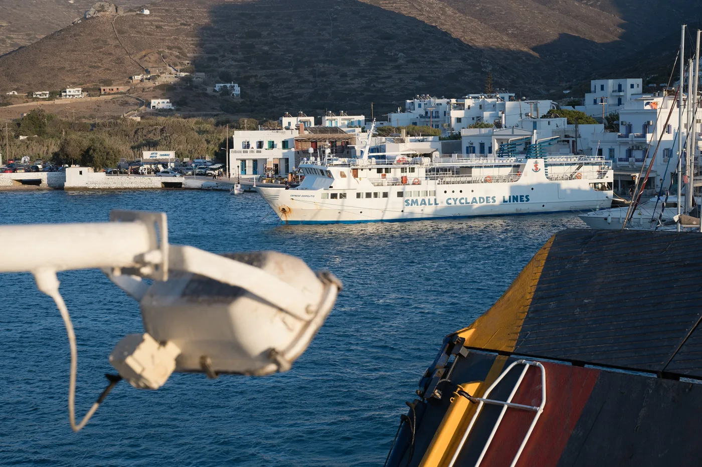
This is where the ferries from Piraeus arrive.
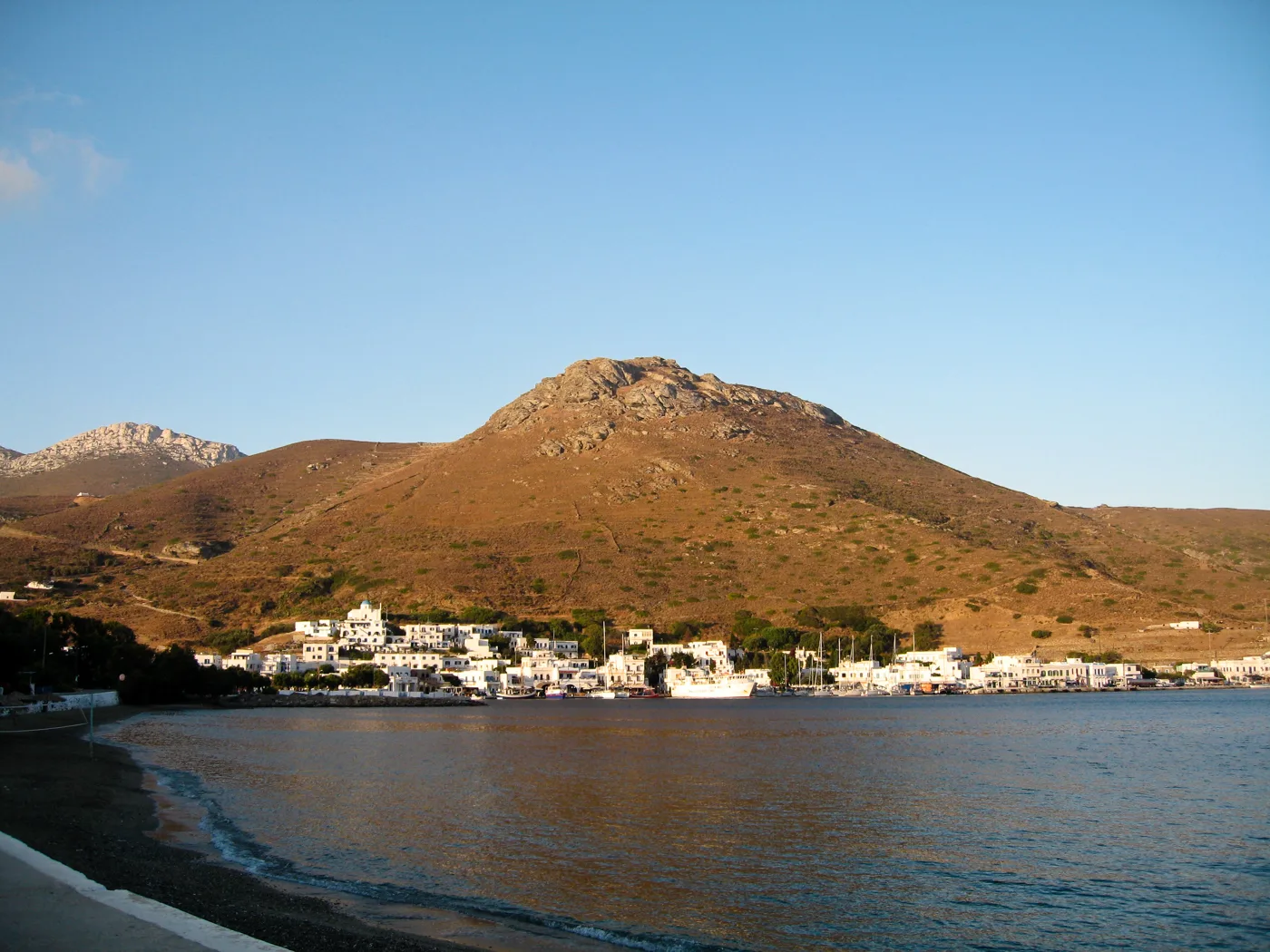
Three villages around the bay.
Photos: Zde (CC BY-SA 4.0), Oliwan (CC BY-SA 3.0) · Wikimedia Commons
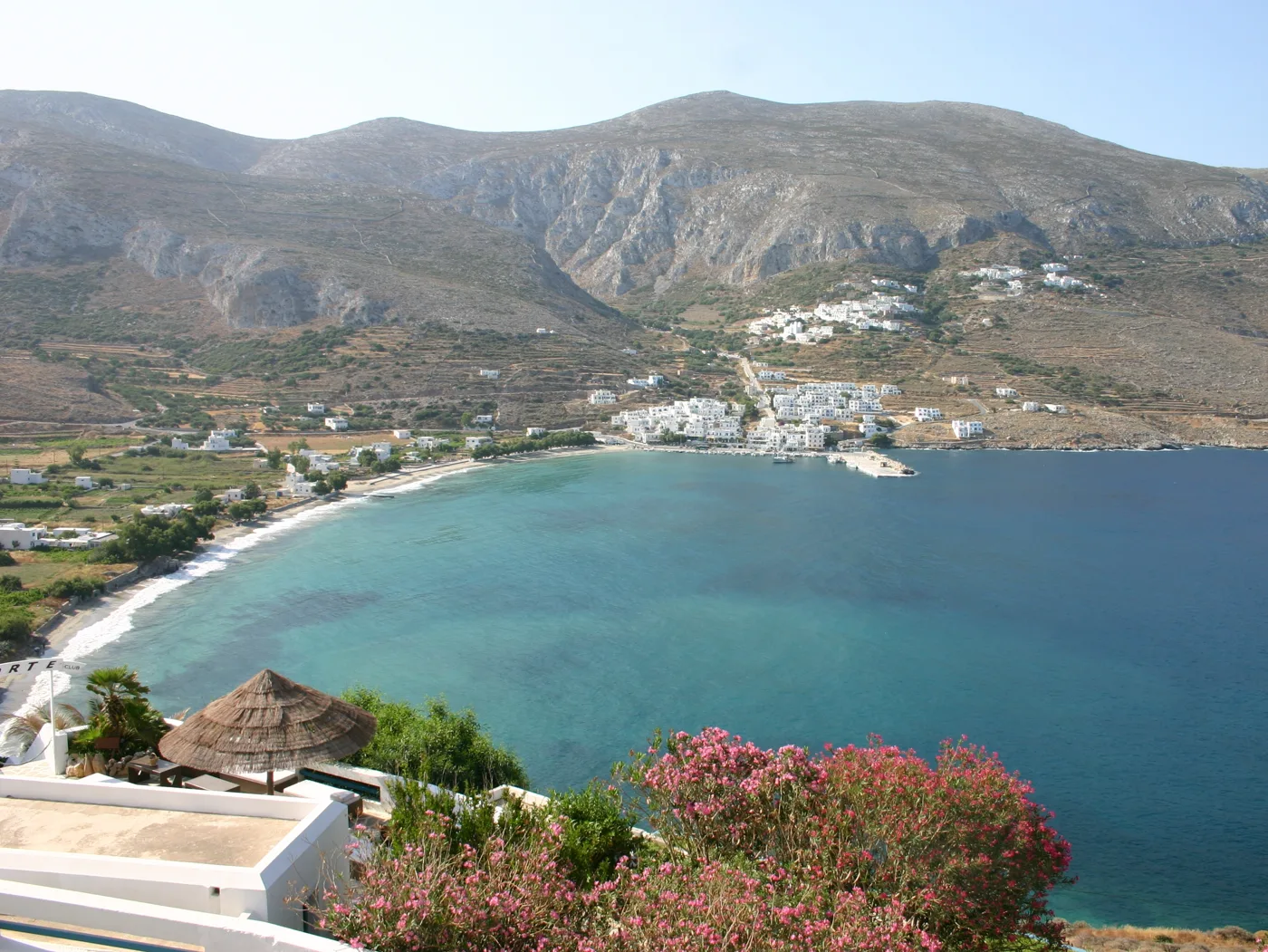
The island’s big sandy beach.
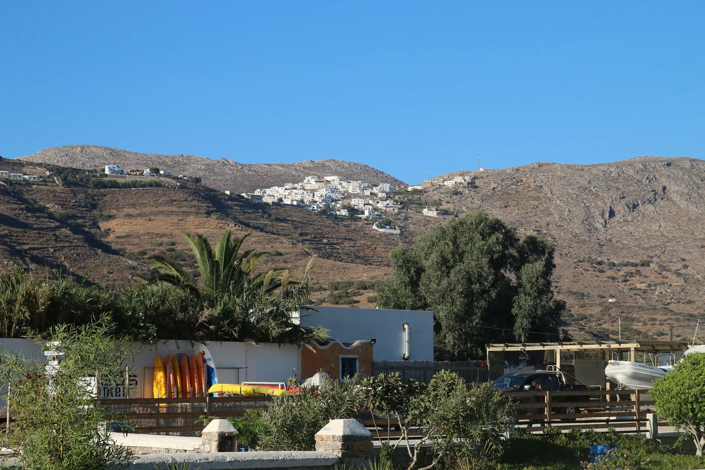
The village on the slope, above the bay.
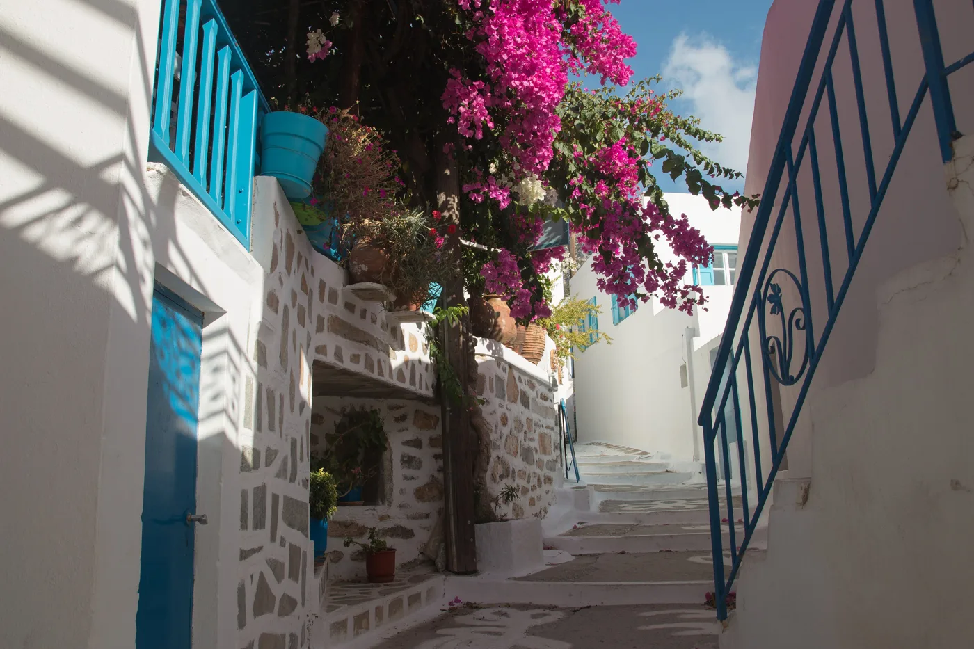
Bougainvillea and blue windows.
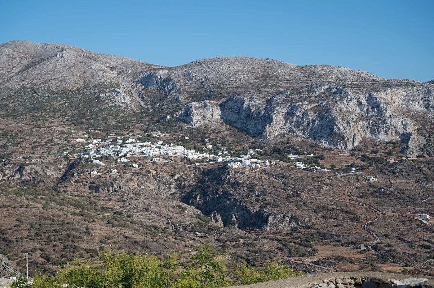
White, at the foot of the mountain.
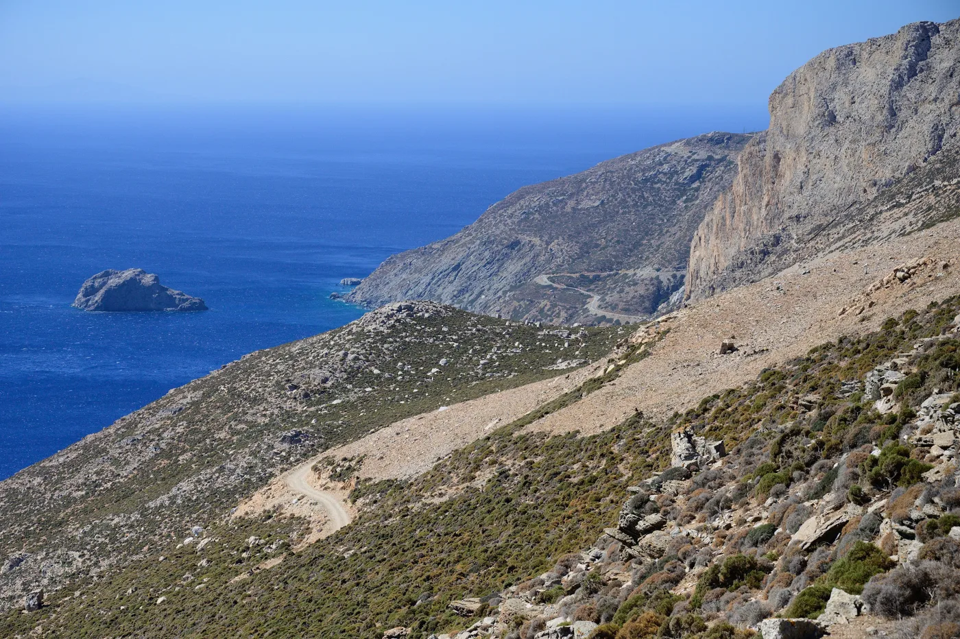
The Palia Strata, from Chora to Aigiali.
Photos: Dcarters (Public domain), Zde (CC BY-SA 4.0) · Wikimedia Commons
🏖️ The beaches
The beaches are not the reason to go to Amorgos, but it has a few that are worth it. Aigiali is the only big sandy beach, organised, with shallow water, and next to it Levrossos, smaller and quieter. Agia Anna, below the Monastery, has rocks and deep blue water. In the south, Mouros is a pebble beach between rocks, with caves you can swim into, and Kalotaritissa, at the southern tip, is a quiet sandy beach with a boat to the islet of Gramvousa. From Agios Pavlos, between Chora and Aigiali, boats go to Nikouria, an islet with two sandy beaches and a canteen.
- Aigiali: the big sandy beach, organised, for families.
- Agia Anna: rocks and blue water, below the Monastery.
- Mouros: pebbles and caves, in the south.
- Kalotaritissa: a quiet sandy beach at the southern tip, near the shipwreck.
- Nikouria: an islet with a boat from Agios Pavlos.
- Maltezi: near Katapola, by boat or footpath.
Amorgos is one of the windiest islands in the Cyclades. With the meltemi, Agia Anna and the east coast are calm, while Aigiali and Katapola, which face west, can have waves. Ask at the harbour before you set off.
🍽️ What to eat
The dish of Amorgos is patatato, goat stewed in tomato with potatoes, which you will find in the tavernas of Chora and at the festivals. Try also the fava, the xerotigana, fried sweets with honey, and the local cheese. In Katapola and Aigiali you will find fresh fish and kakavia, the fishermen’s fish soup. And everywhere, psimeni raki.
📅 When to go
May, June and September are the best months, for walking and swimming together, without much wind. In July and August the island fills up, mainly with French and Italians who came for “The Big Blue”, and the meltemi blows hard. In spring the island is green, and in October still warm.
⛴️ How to get there from Athens
| How | Duration | From | Notes |
|---|---|---|---|
| Fast boat | About 6 hours | Piraeus | In summer, a few times a week. |
| Conventional ferry | About 8–9 hours | Piraeus | Often overnight, with a cabin. Via Naxos. |
| Plane and ferry | About 45 minutes + 2–3 hours | Athens airport → Naxos or Santorini | The fastest way. Ferries every day in summer. |
From Ioulianou 50 take Line 1 to Piraeus, straight to the port, or Line 1 to Monastiraki and change to Line 3 for the airport. On the island the bus connects Katapola, Chora, the Monastery and Aigiali, but for the south and the beaches you need a car. For Naxos, see our our guide to Naxos.
🗓️ Three days on Amorgos
Chora and Chozoviotissa
Morning at Chozoviotissa, before it gets hot, with the steps and the monks’ raki. Then a swim at Agia Anna, below the Monastery. Afternoon in Chora: the Kastro, the lanes, the windmills for the sunset, and evening in the square.
The south
By car to the south: a swim at Mouros, with its caves, and at Kalotaritissa, with a stop at the bay of the shipwreck. Come back via Katapola for fish at the harbour.
Aigiali and its villages
Morning on the sandy beach of Aigiali or at Levrossos. Midday in Tholaria, lunch with a view, and in the afternoon a walk to Lagkada and back. If you have the energy, do the Palia Strata from Chora.
Frequently asked questions
Where to stay on Amorgos?
In Chora or Katapola, for the Monastery, the port and the centre of the island. In Aigiali, for the sandy beach and its villages. If you stay four days or more, split them between the two.
Do I need a car?
For Chora, the Monastery and Aigiali, the bus is enough. For the south, Mouros, Kalotaritissa and the shipwreck, yes. You rent in Katapola or Aigiali.
Where was “The Big Blue” filmed?
At Agia Anna, below Chozoviotissa, in the Monastery, in Katapola, in Aigiali and at the shipwreck of Kalotaritissa. Amorgos plays the island where Jacques grows up, and the film made the island known all over Europe.
How many days do I need?
Four days, to see both ends of the island without hurrying, and one more if you want to walk the Palia Strata. It combines with Naxos and the Small Cyclades.
— Kathy