🪪 The island at a glance
📍 Where it is
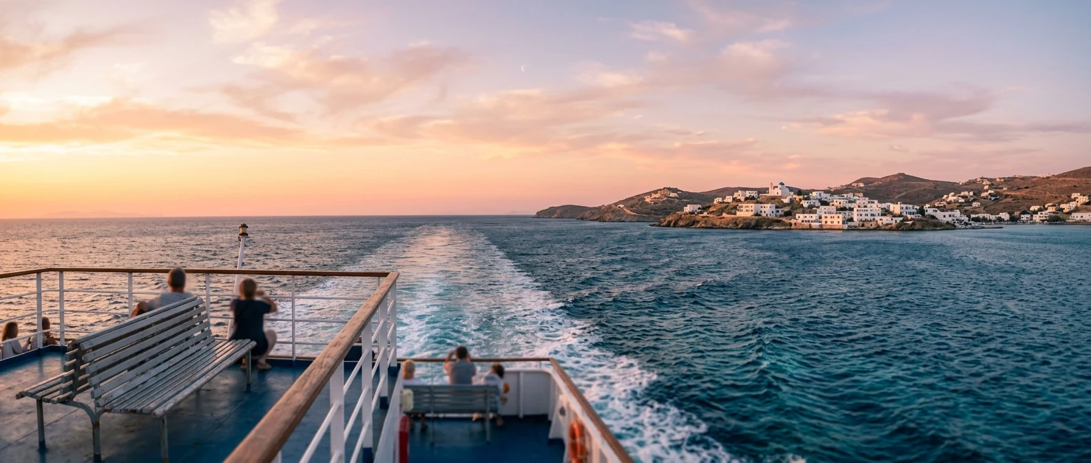
Kefalonia is the largest of the Ionian Islands, between Lefkada to the north and Zakynthos to the south. Right across to the east is Ithaca, while the coast of the Peloponnese is a little further away. The closest mainland port is Kyllini, where the ferry to Poros leaves from.
📍 Where Kefalonia is
Kefalonia is the largest of the Ionian Islands, west of the Peloponnese and the Gulf of Patras. The island is shown in red, and in green are Kyllini, where the ferry to Poros leaves from, Piraeus and Athens airport.
🗺️ The map of the island
Kefalonia has high mountains in the middle and many bays all around. In the southwest is the capital, Argostoli, and across from it the Paliki peninsula with Lixouri. The north has the best-known views: Myrtos, Assos and Fiskardo. On the east side, around Sami, are the caves and Antisamos. Mount Ainos, the highest mountain in the Ionian Islands, is in the middle.
🗺️ Map of Kefalonia
Argostoli and the airport are in the southwest, across from Lixouri and the Paliki peninsula. Myrtos, Assos and Fiskardo are on the north side. Sami, Melissani and Drogarati are on the east coast, and Mount Ainos is in the middle of the island. Tap each number to see what it is.
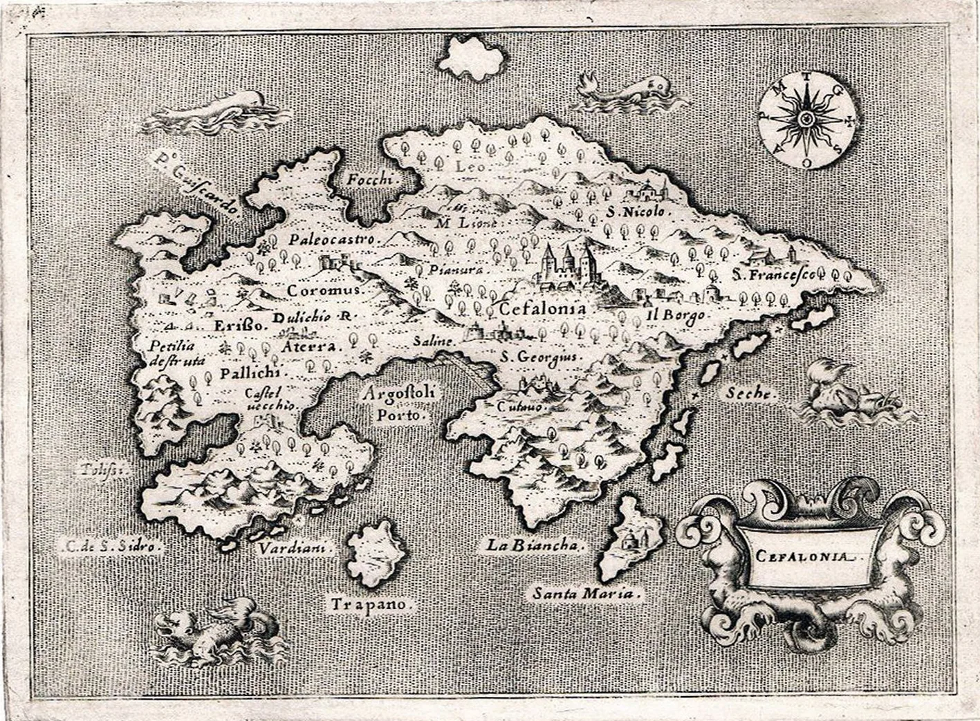
Map: T. Porcacchi, 1576 (Public domain) · Wikimedia Commons
⚖️ Is it worth it? The pros and cons
Kefalonia is big and varied, but it needs time and a car. Here is an honest picture.
📊 At a glance, from 1 to 5
👍 The pros
- Myrtos, one of the best-known beaches in Greece.
- Melissani Lake and Drogarati Cave.
- Very green, with the fir forest of Mount Ainos.
- Pretty villages, such as Assos and Fiskardo.
- A big island, with quiet corners even in August.
👎 The cons
- Distances are long and the roads have many bends.
- Without a car it is hard to see the island.
- The 1953 earthquake brought down most of the old buildings.
- Little nightlife.
- The best-known beaches fill up in August.
🏖️ Myrtos and Assos
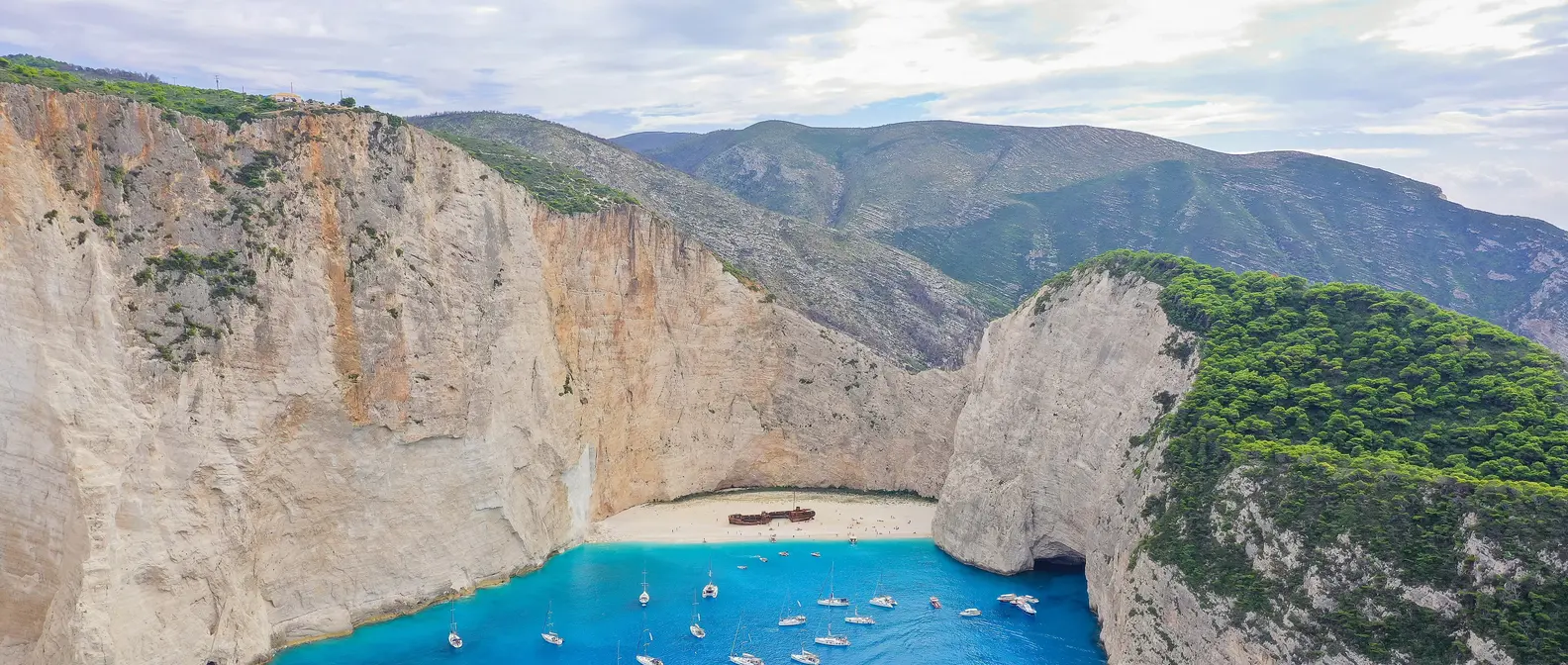
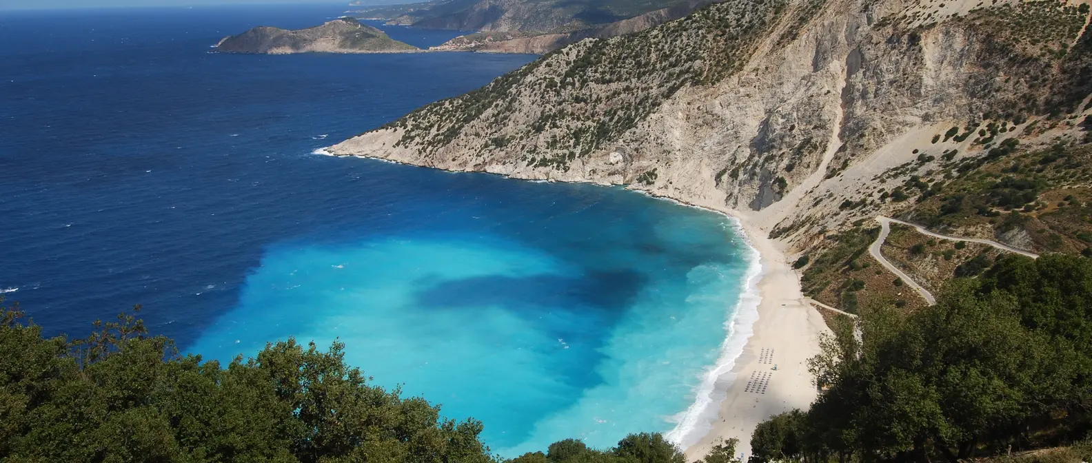
Myrtos is a long beach of white pebbles on the northwest coast, below a tall cliff. You drive down a road with many bends from the village of Divarata. The water is very blue, but it gets deep quickly and often has waves, so take care with children. For the best-known photo, stop at the viewpoint on the road.
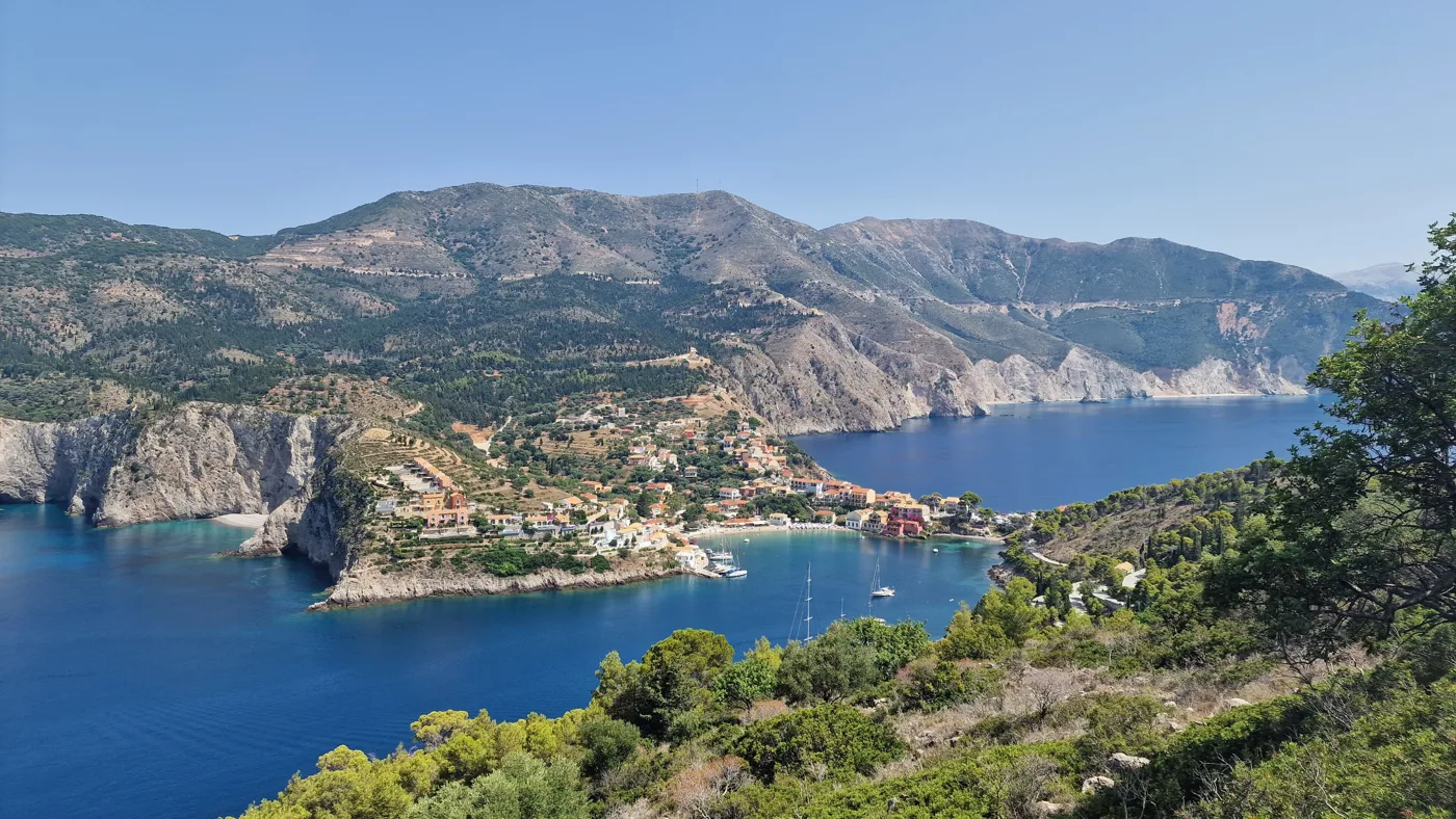
A little further north is Assos, a small village on a narrow isthmus. Behind it, on a green peninsula out in the sea, stands a large Venetian castle from the 16th century. In the village you will also see old mansions damaged by the 1953 earthquake. The best viewpoint is on the main road, before you drive down to the village.
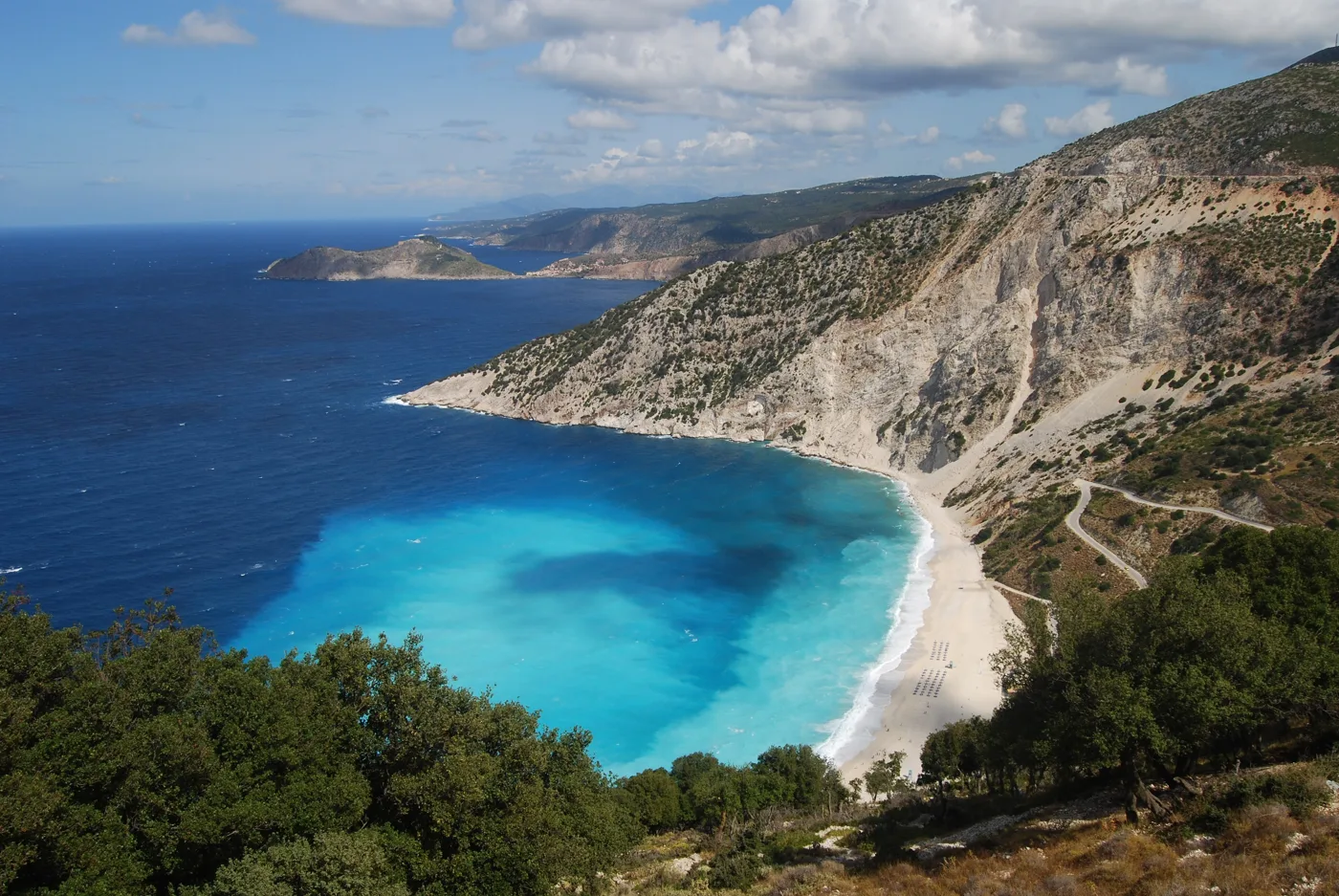
White pebbles below a tall cliff.
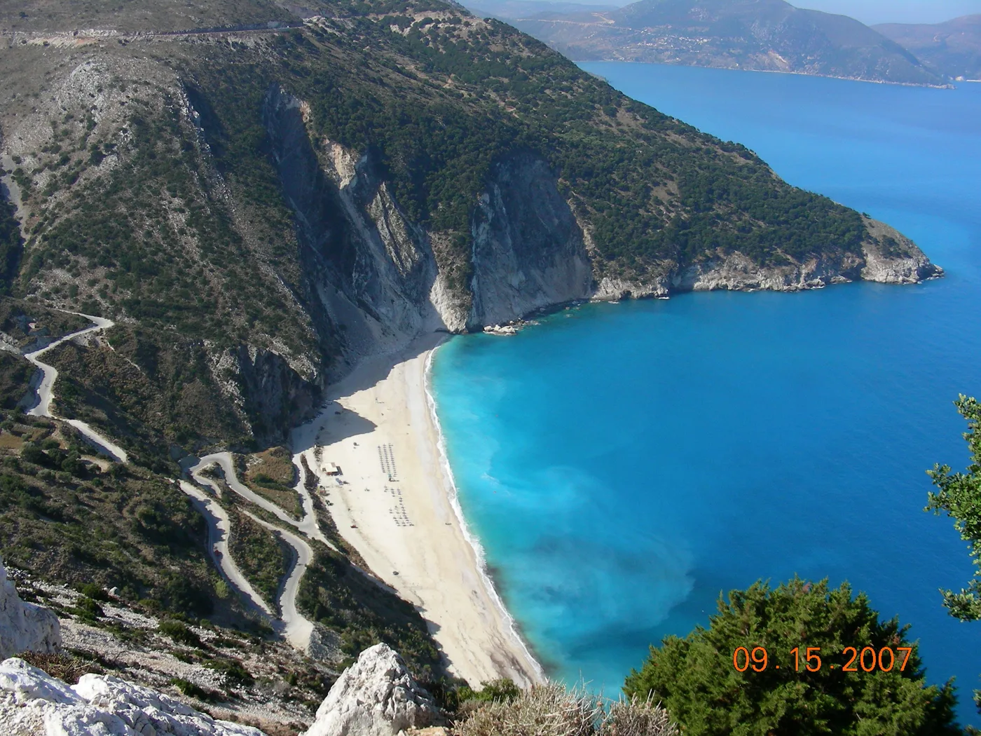
You drive down with bends from Divarata.
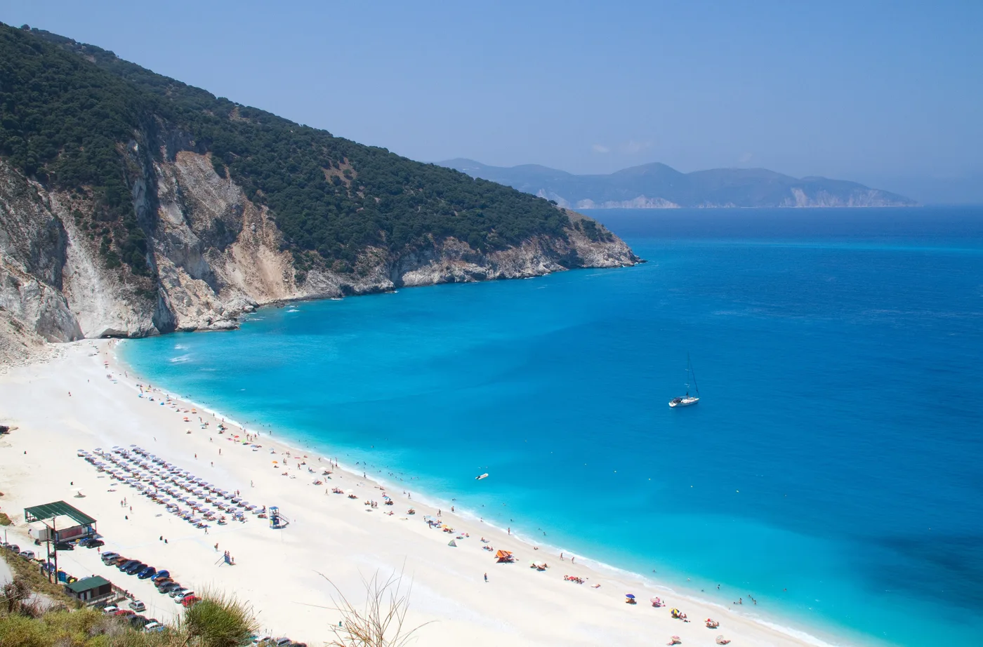
The water gets deep quickly.
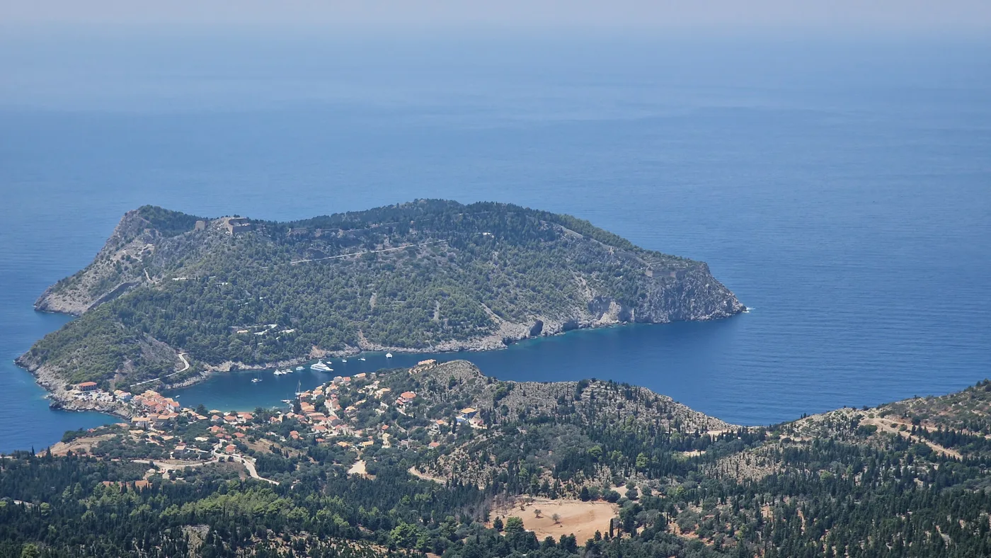
A village on a narrow isthmus, with a castle on the peninsula.
A little harbour and tavernas.
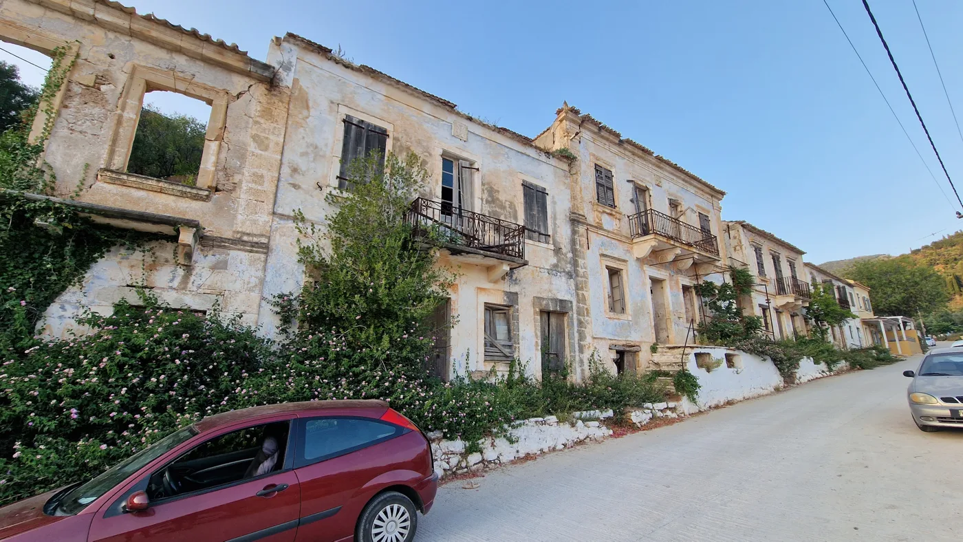
Traces of the 1953 earthquake.
Photos: Matt Sims (CC BY 2.0), Denajhr at English Wikipedia (CC BY-SA 3.0), Tony Hisgett (CC BY 2.0), Tom Corser (CC BY-SA 3.0) · Wikimedia Commons
The car park at Myrtos is small and fills up early in August. Go before 10 or after 5 in the afternoon, when the light falls more beautifully on the water.
⛵ Fiskardo
Fiskardo is at the northern tip of the island, across from Ithaca. It is one of the few places on Kefalonia that did not collapse in the 1953 earthquake, so it has kept its old houses with their colours and balconies. Its name comes from the Norman Robert Guiscard, who died here in the 11th century.
Around the little harbour are tavernas and cafés, and in summer many sailing boats moor here. Boats leave from here for Ithaca and for small beaches on the north coast. A path from the harbour takes you to the lighthouse, among pine trees.
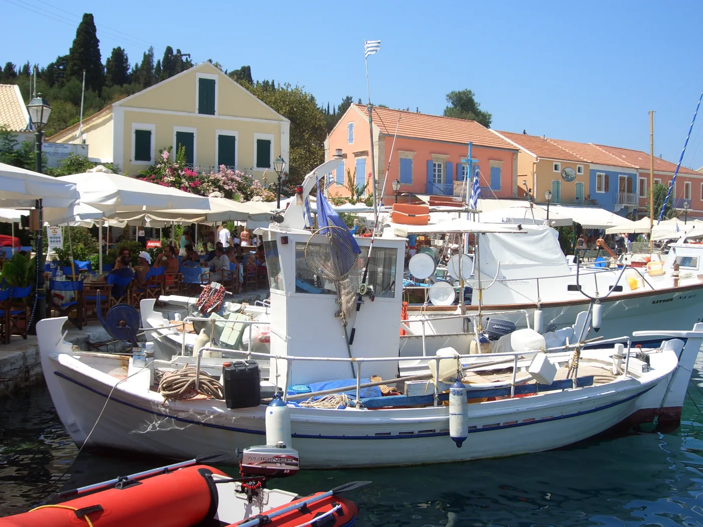
Old houses that survived the earthquake.
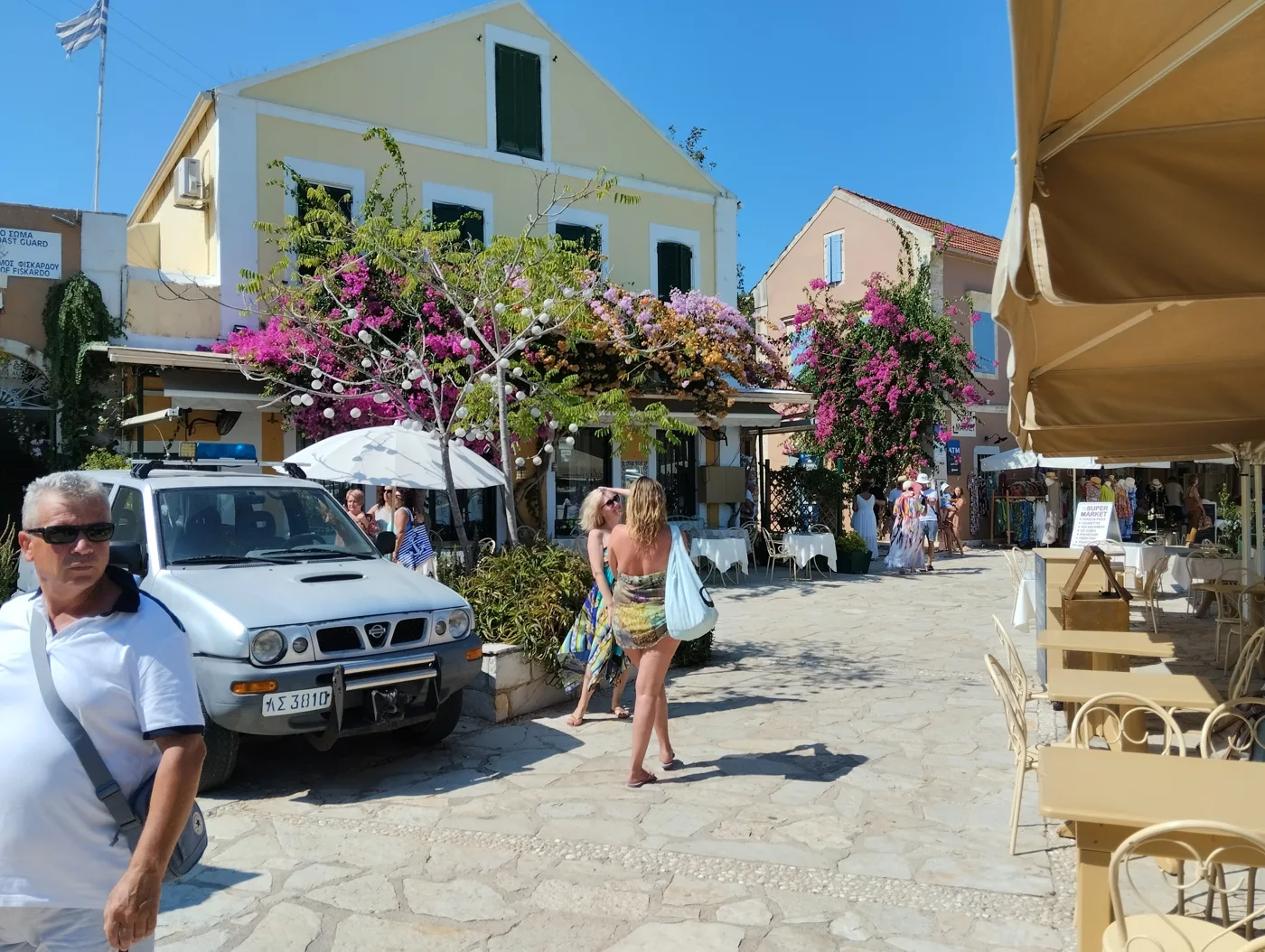
Cafés and tavernas around the harbour.
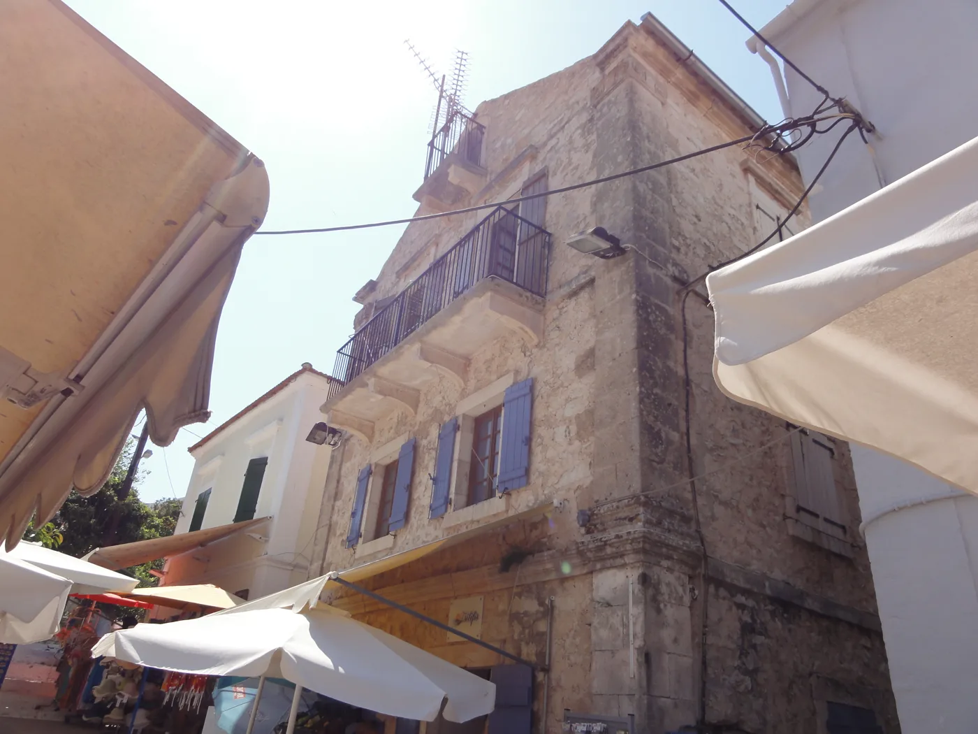
Architecture from before 1953.
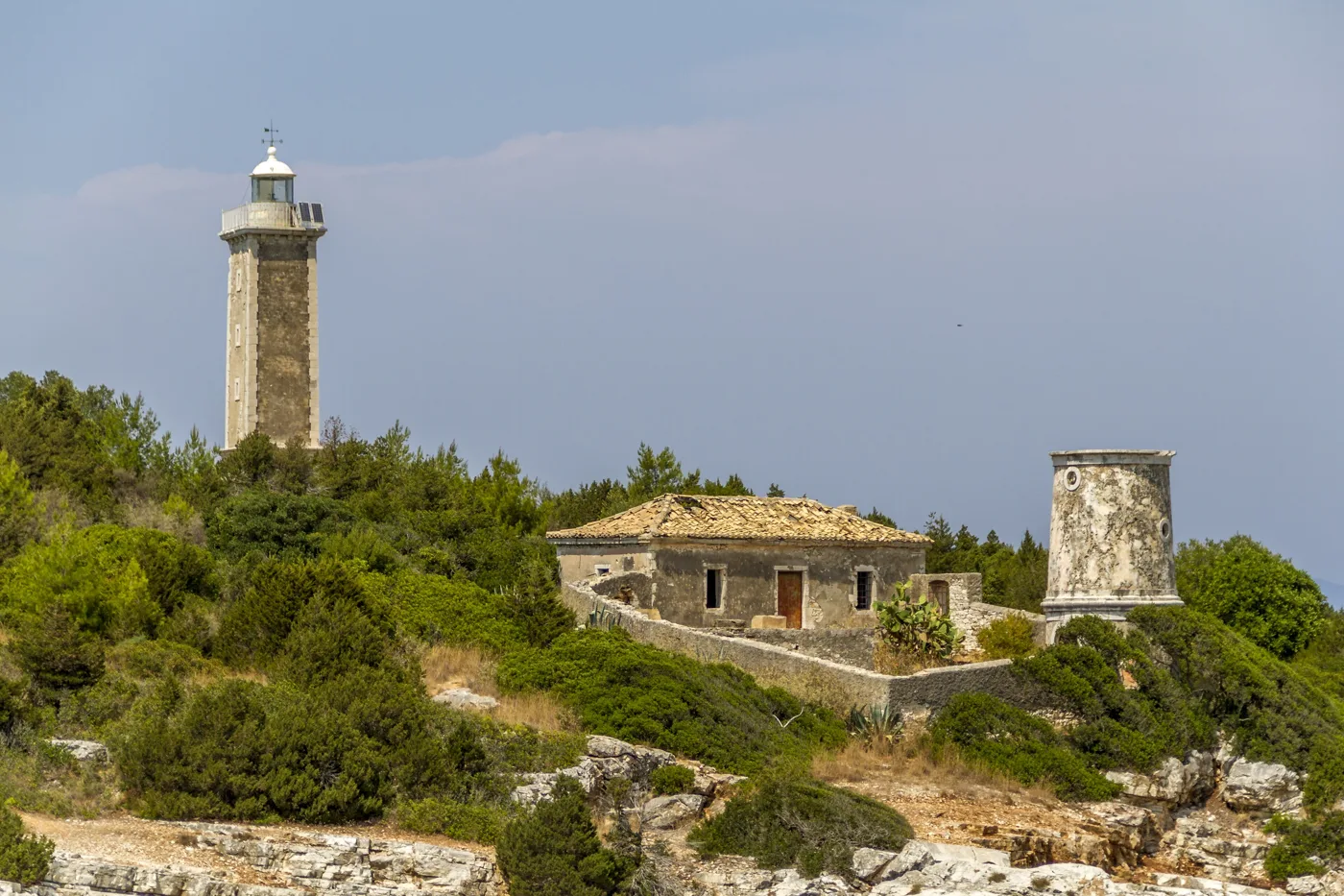
A short walk from the harbour.
Photos: Christos Vittoratos (Public domain), DominikCK1999 (CC BY 4.0), Fae (CC BY-SA 3.0), Dionysisa303 (CC BY-SA 4.0) · Wikimedia Commons
💧 Melissani, Drogarati and Antisamos
Melissani Lake, near Sami, is a lake inside a cave whose roof fell in many years ago. You go in by boat and the boatman takes you around the blue water. Go around midday, when the sun comes in through the opening and the water lights up. The lake water is half fresh and half salty: it comes from the sea at Katavothres in Argostoli and crosses the island underground.
A few kilometres further south, Drogarati Cave has a large chamber with stalactites and stalagmites. Thanks to its good acoustics it has also hosted concerts. From Sami, a road over the hill takes you to Antisamos, a beach with white pebbles and clear water between green hills. Scenes from the film «Captain Corelli's Mandolin» were shot here.
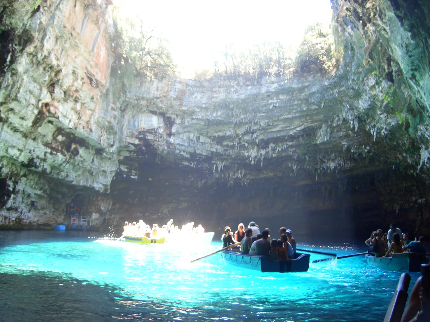
A lake inside a cave with no roof.
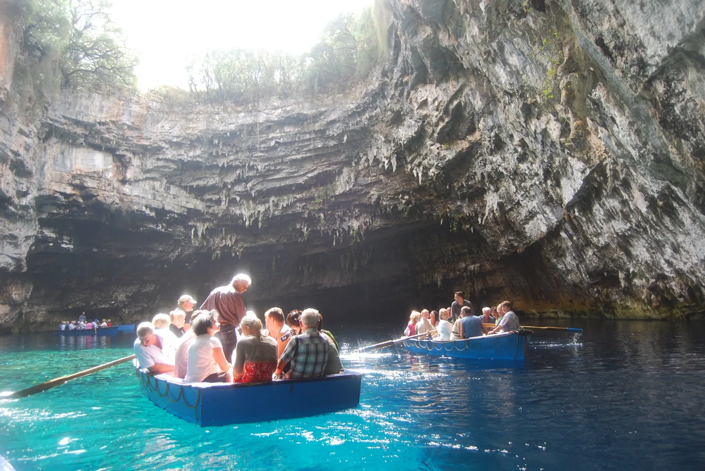
The boatman takes you around the lake.
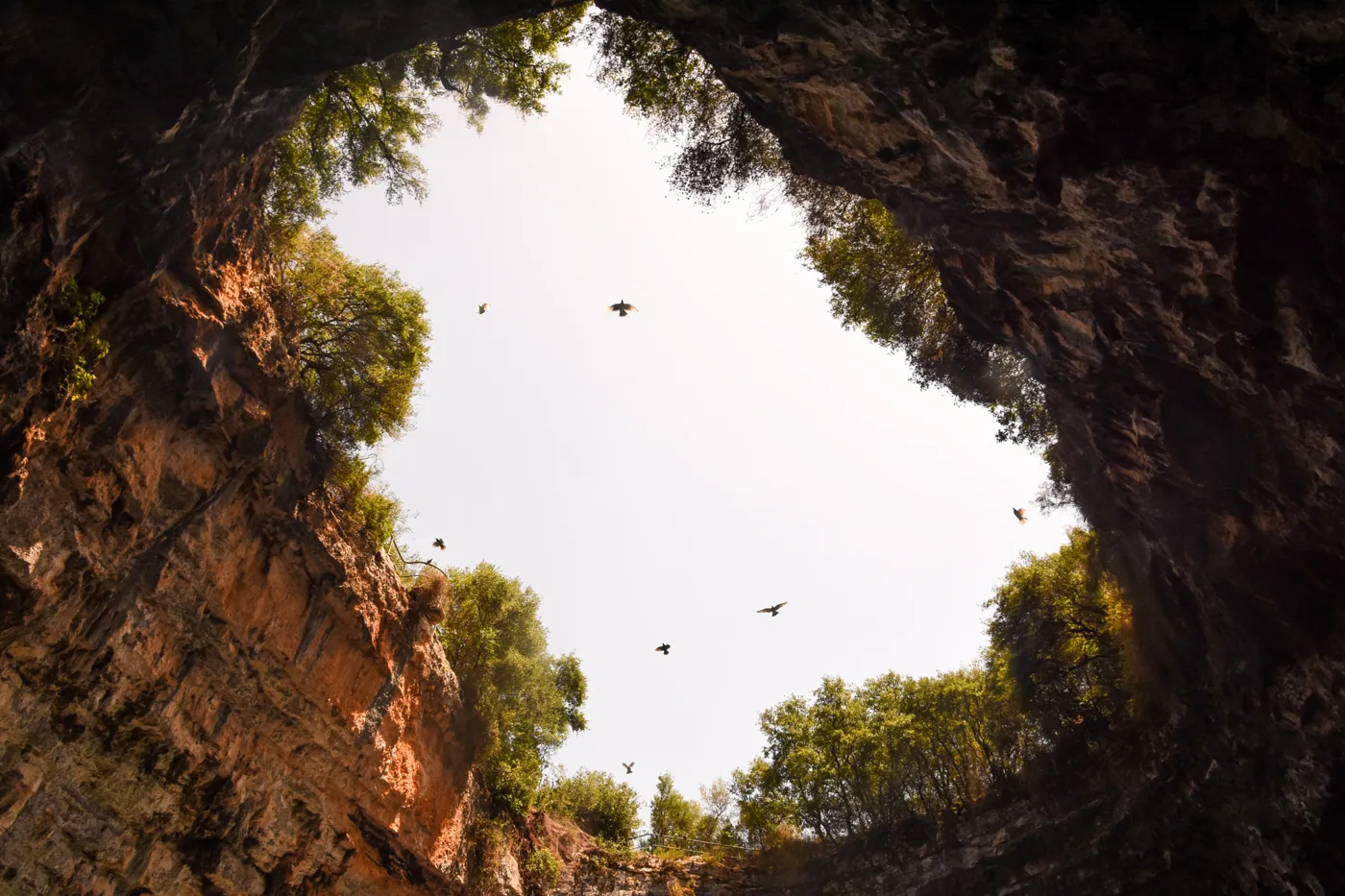
This is where the light comes in.
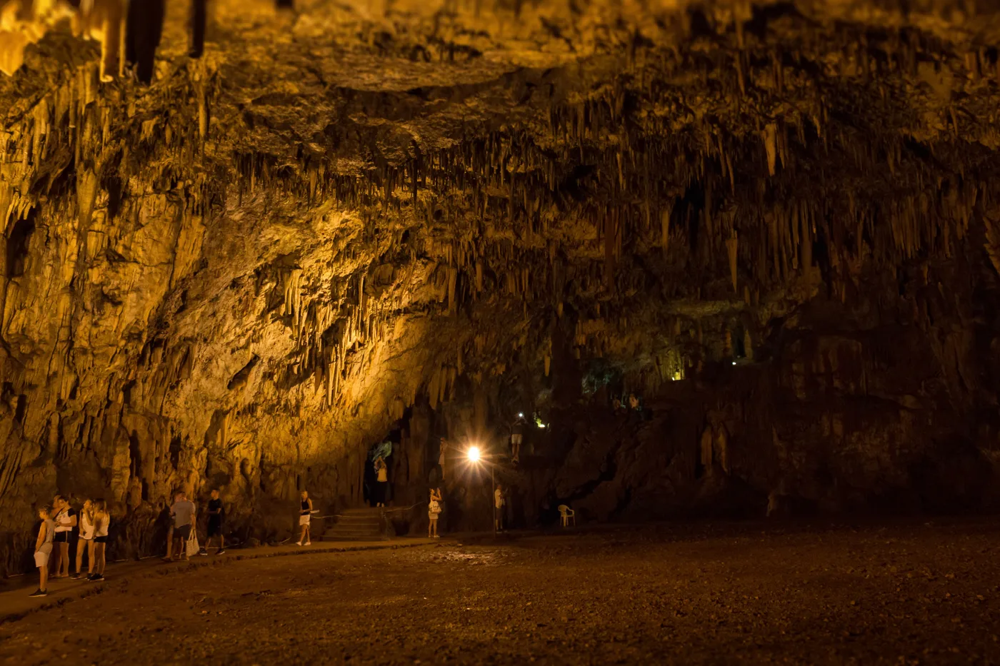
Stalactites near Sami.
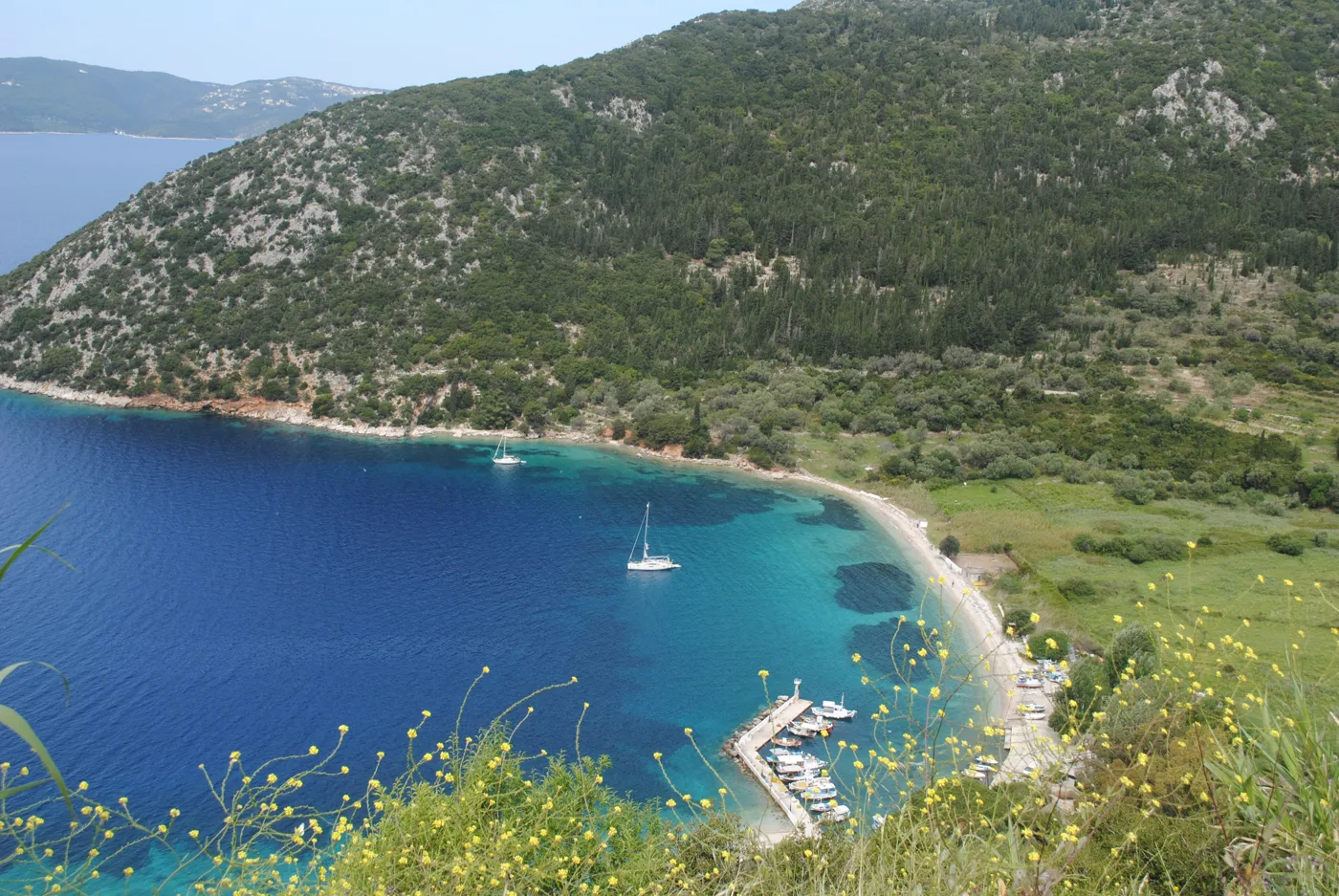
A pebble beach near Sami.
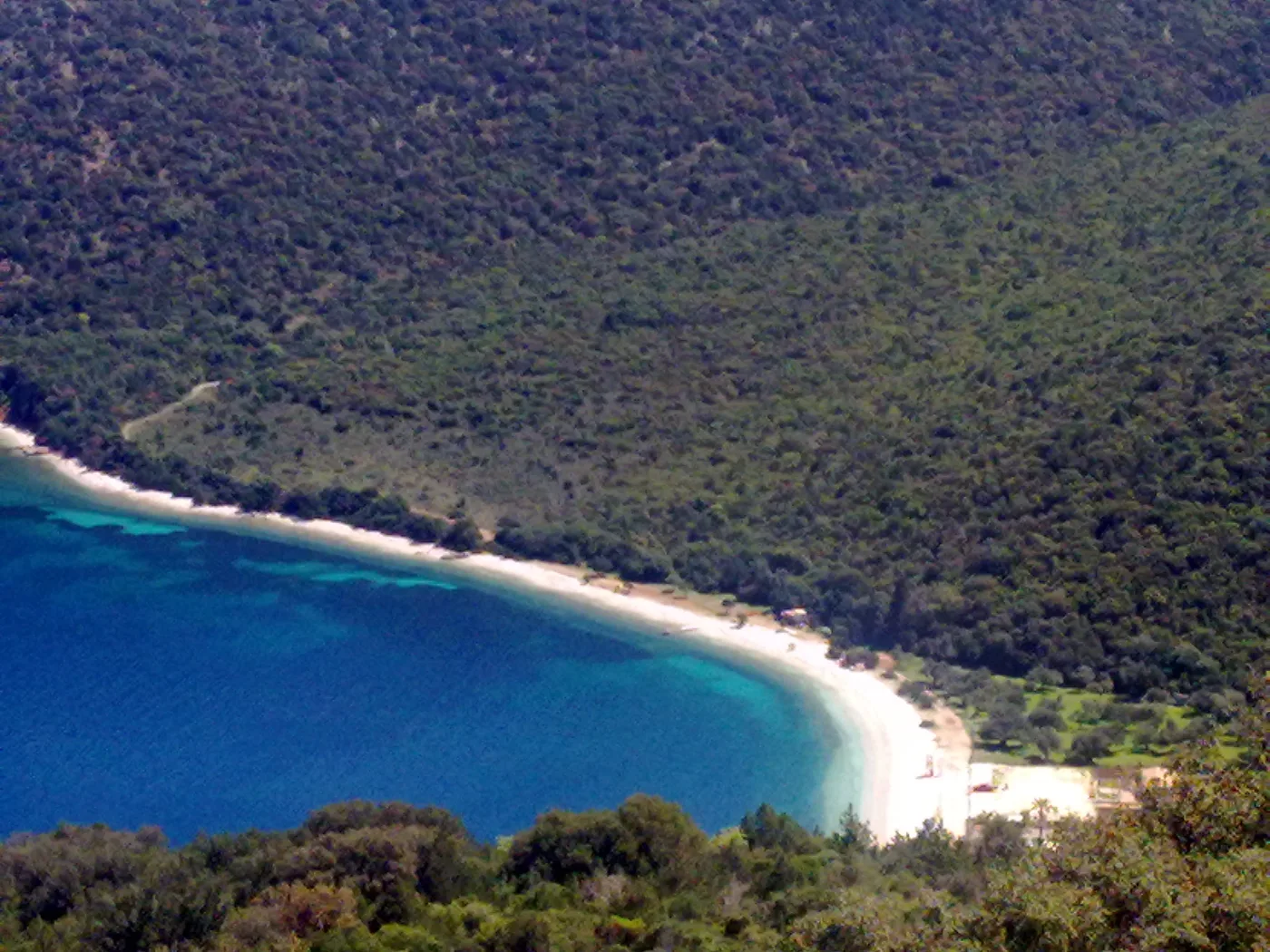
«Captain Corelli's Mandolin» was filmed here.
Photos: Christos Vittoratos (Public domain), Matt Sims (CC BY 2.0), Georgios Liakopoulos (CC BY-SA 3.0), Lubomir Mihalik (CC BY 3.0), Kefalonia 2017 (CC BY-SA 4.0), Fodasnos7 (CC BY-SA 3.0) · Wikimedia Commons
🏛️ Argostoli
Argostoli is the capital, built at the edge of a large bay. The 1953 earthquake destroyed almost all of it, so most buildings are newer. Town life centres on Vallianos Square and the Lithostroto pedestrian street, with shops and cafés. The stone De Bosset Bridge, from 1813, crosses the Koutavos lagoon.
In the morning, in the harbour near the fish market, you often see loggerhead turtles swimming next to the boats. Don't feed them. North of the town, at Katavothres, the sea flows into the ground and, as measurements showed, comes out on the other side of the island, near Sami, after about two weeks. A little further on are the Agios Theodoros lighthouse and the sandy beaches of Lassi.
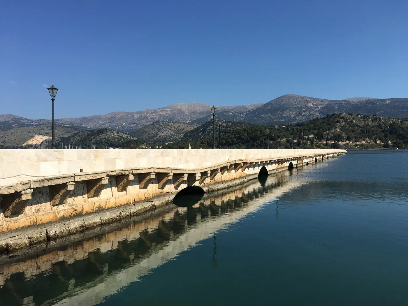
A stone bridge from 1813 across the water.
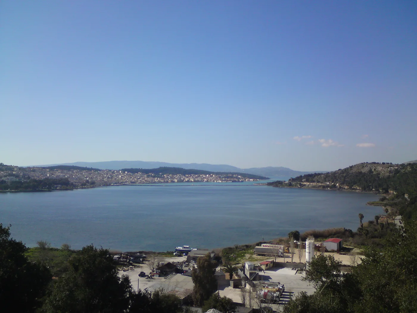
The lagoon next to the town.
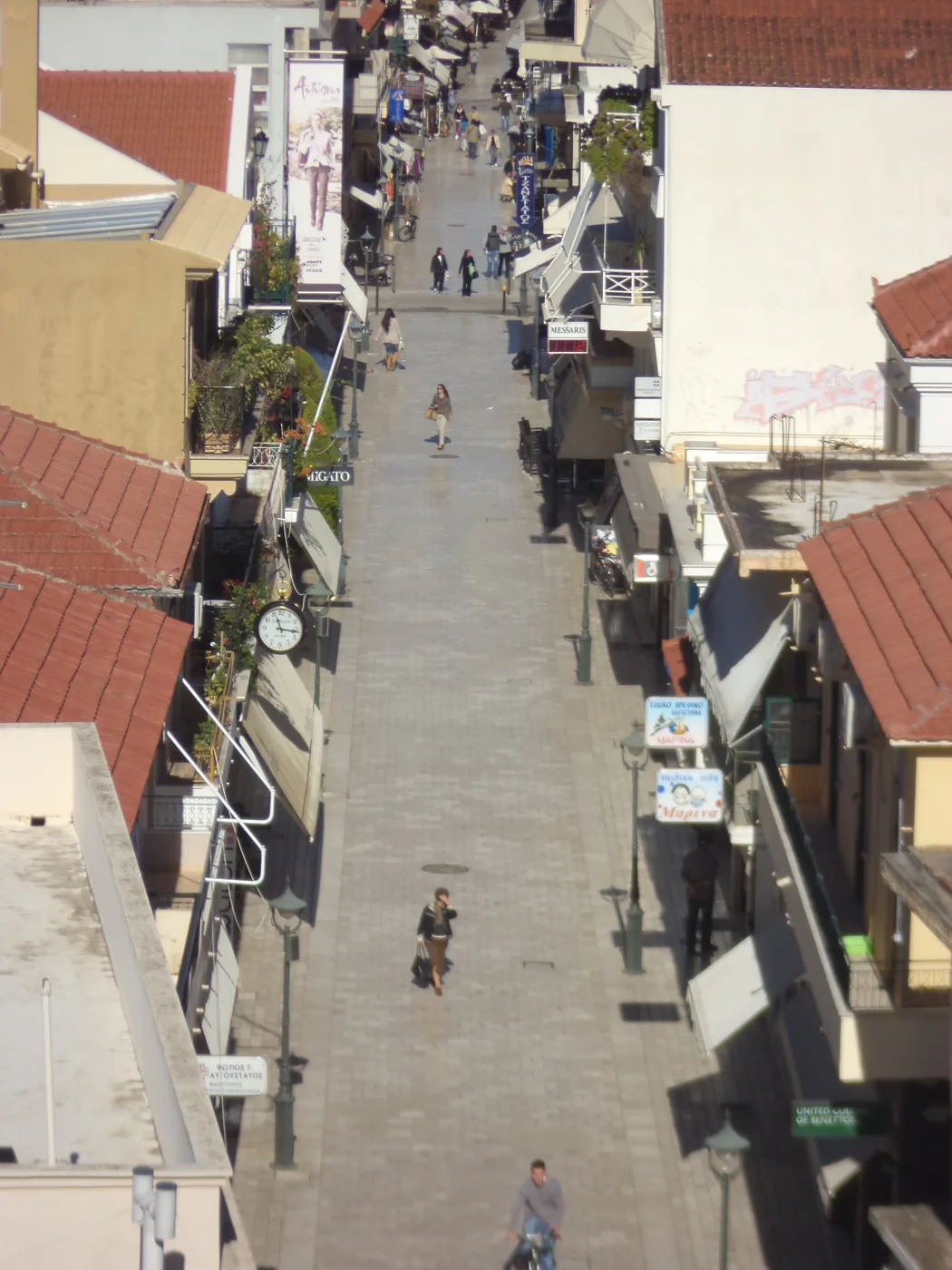
The main pedestrian street.
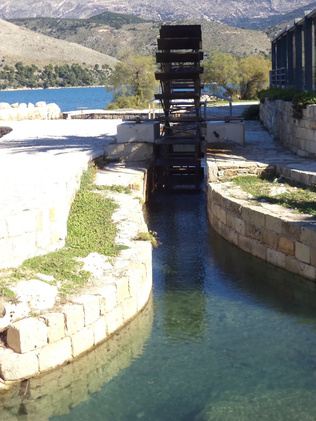
The sea disappears under the island.
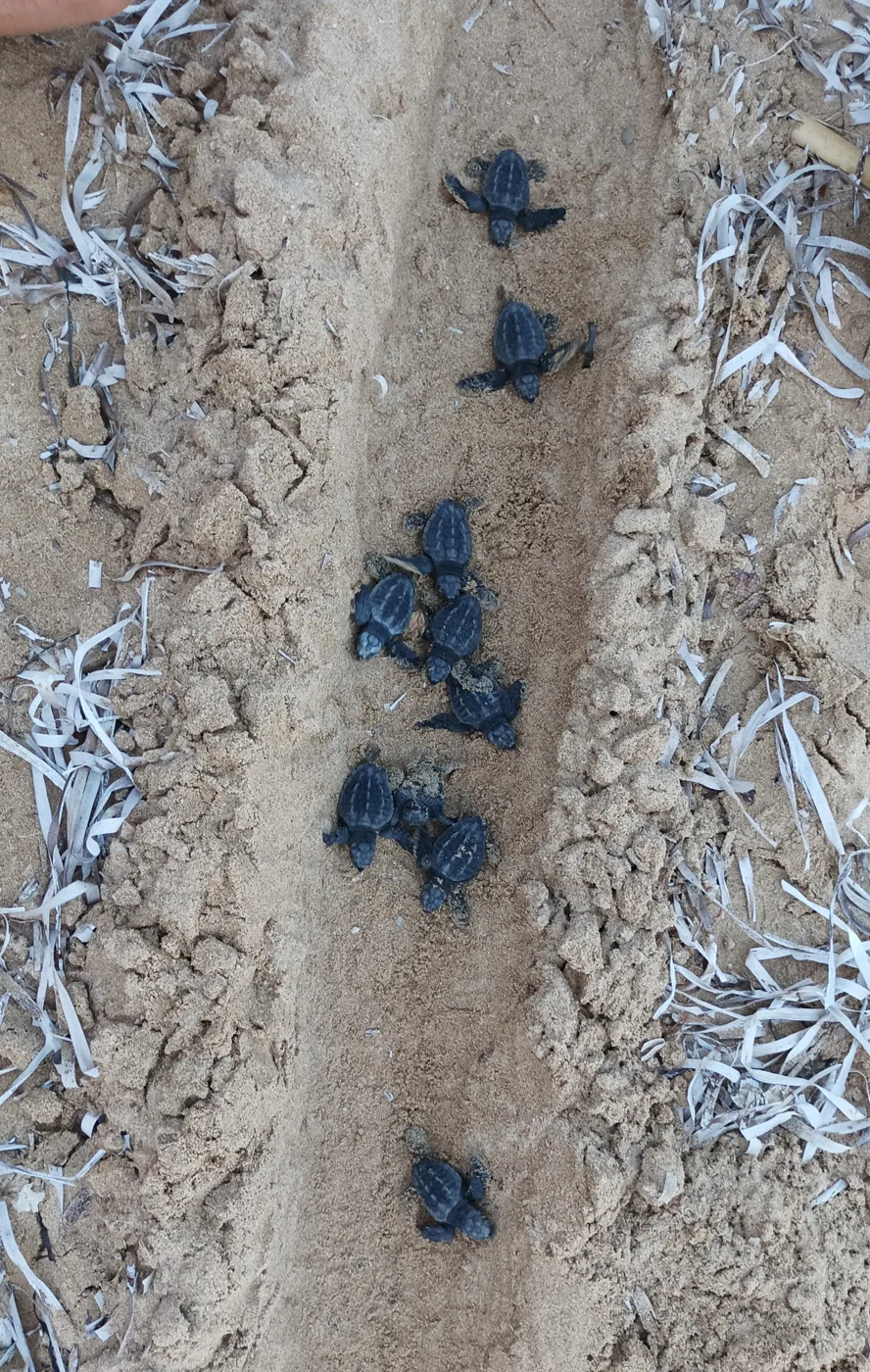
Turtles also nest on the beaches of the south.
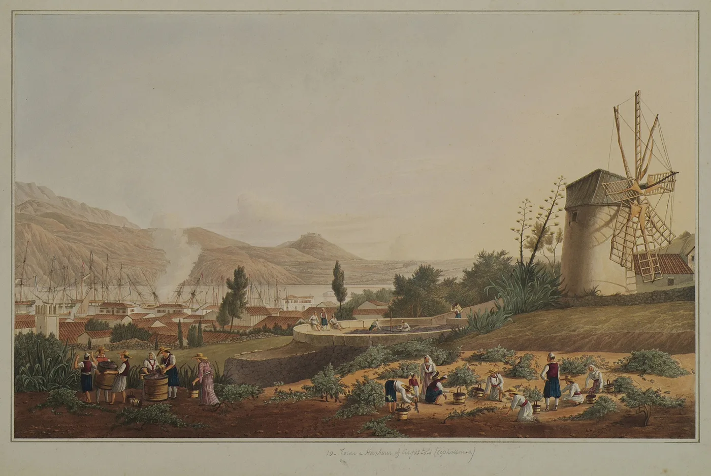
The town and harbour in a work by Joseph Cartwright.
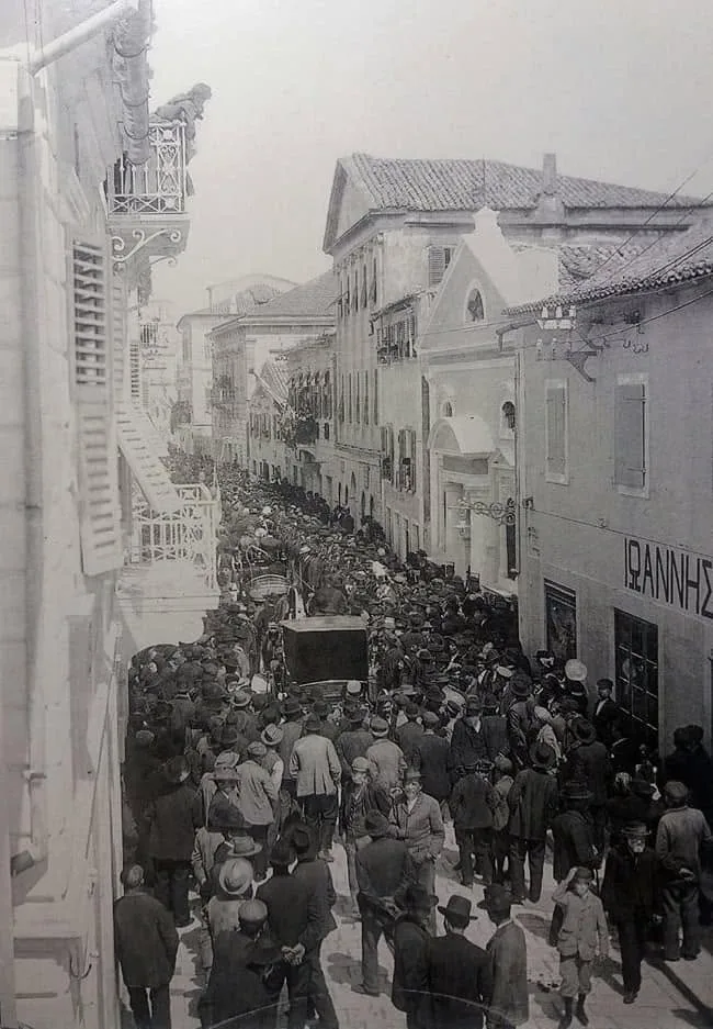
The town before the earthquake.
Photos: Kefexplorer (CC BY-SA 4.0), M. Theofilatou (CC BY-SA 3.0), George Tekmenidis (CC BY-SA 3.0), Monsieur VB (CC BY-SA 4.0), Public domain · Wikimedia Commons
⛰️ Mount Ainos, Agios Gerasimos and the castle
Mount Ainos is the highest mountain in the Ionian Islands, with a summit over 1,600 metres. It is a National Park, with a forest of Greek fir, a species that grows only in Greece. A road climbs almost to the top, and from there you walk on trails with views over the whole island. Wild horses also live on the slopes.
In the Omala valley is the Monastery of Agios Gerasimos, the island's patron saint. The valley is known for Robola, the white wine of Kefalonia, and there you will find wineries that offer tastings. Closer to Argostoli, on a hill, is the Venetian Castle of Agios Georgios, which was the island's capital until the 18th century. At the southern tip, in Skala, you can see the mosaic floors of a Roman villa.
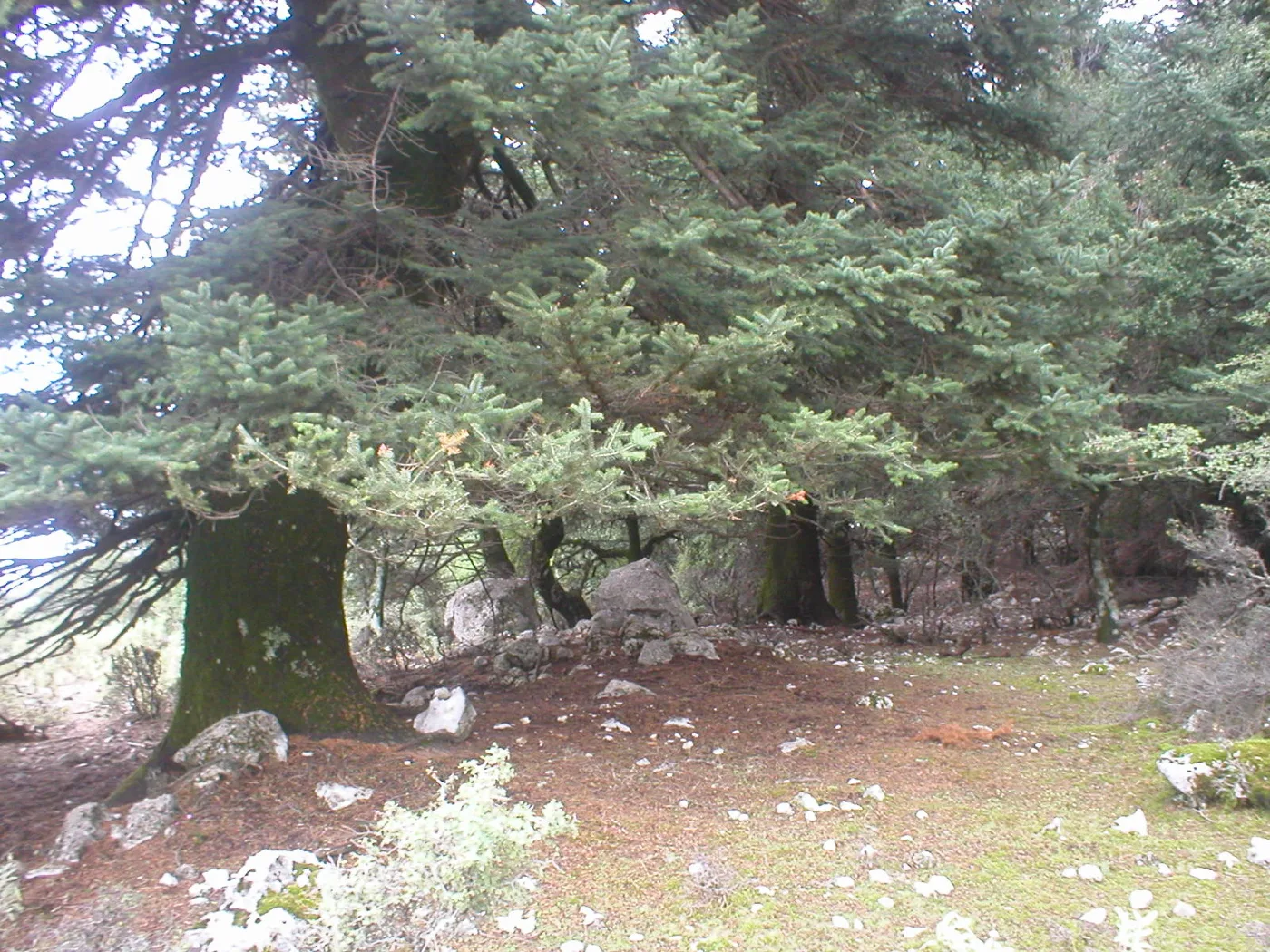
A National Park with firs that grow only in Greece.
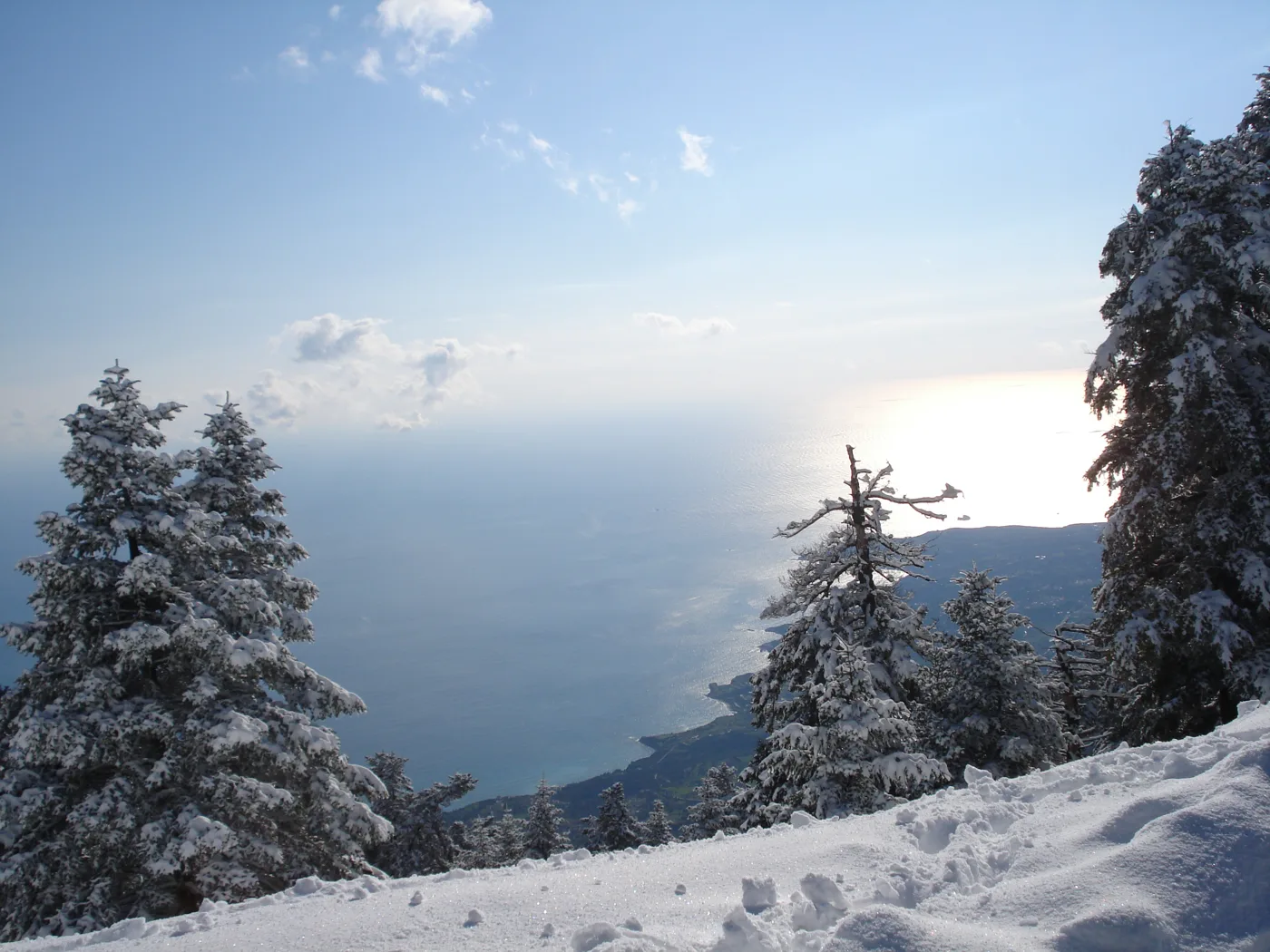
The highest peak in the Ionian Islands.
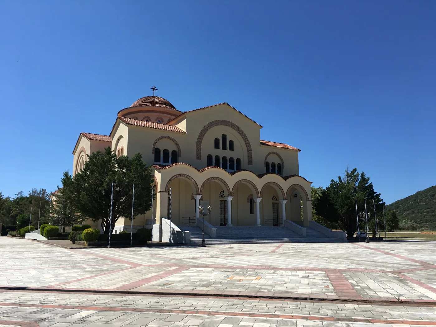
The patron saint of Kefalonia, in Omala.
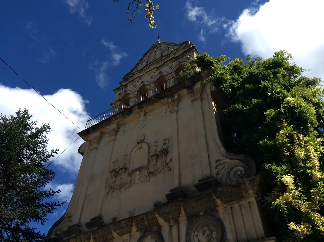
The monastery is in the Robola valley.
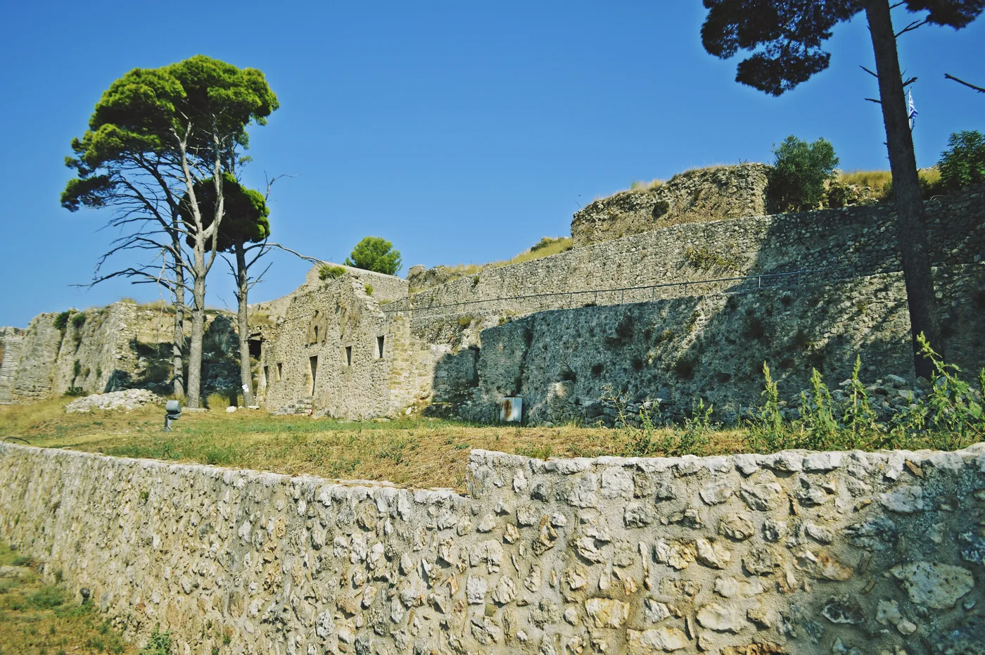
The island's old capital.
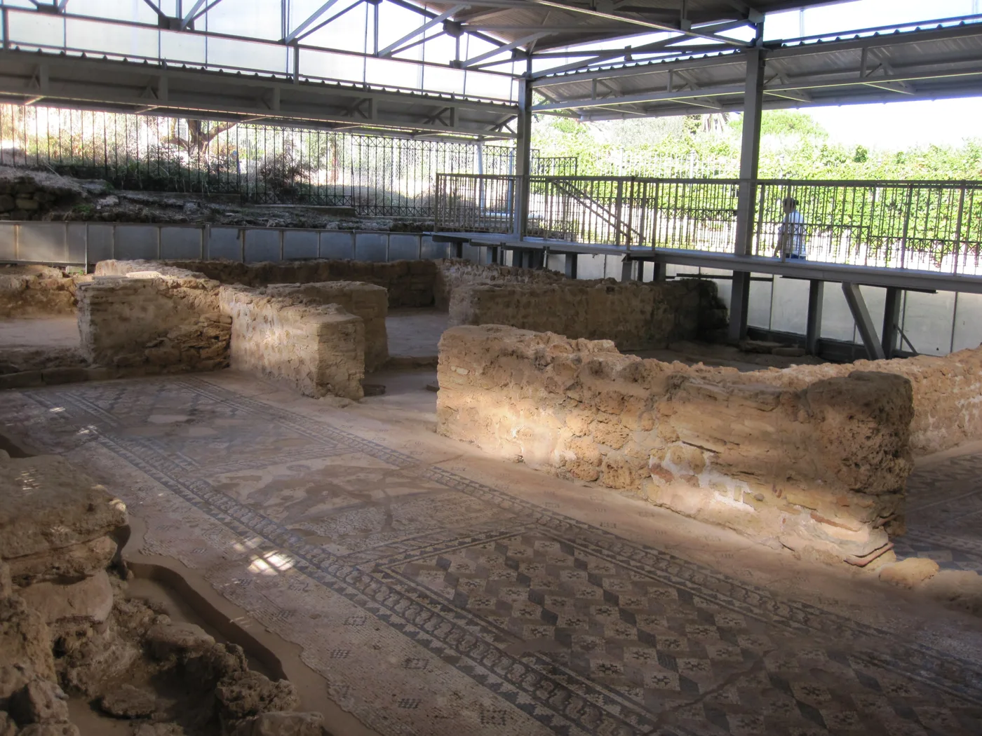
Mosaic floors at the southern tip.
Photos: ChristosV (CC BY-SA 3.0), Deana212121 (CC BY-SA 4.0), Kefexplorer (CC BY-SA 4.0), Vhryce (CC BY-SA 4.0), ValadisLiak (CC BY-SA 4.0), Matti (CC BY-SA 3.0) · Wikimedia Commons
🌅 The Paliki peninsula
Paliki is the western peninsula of the island. Its town, Lixouri, faces Argostoli, and a small ferry takes you across in about half an hour. Lixouri has a large square with cafés and a calmer pace than the capital.
At the southern tip of Paliki is Xi, a beach with reddish sand, shallow water and white clay rocks. On the west coast, Petani has white pebbles, a tall cliff and one of the finest sunsets on the island.
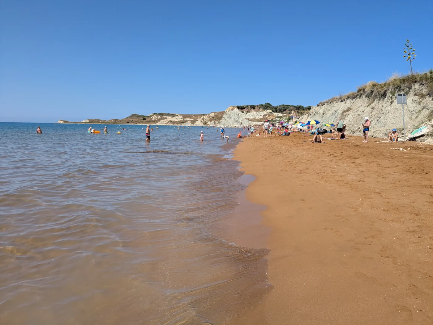
Red sand and shallow water.
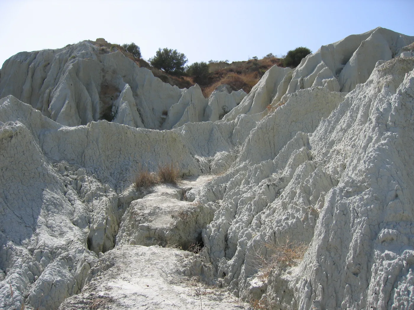
Clay shaped by the rain.
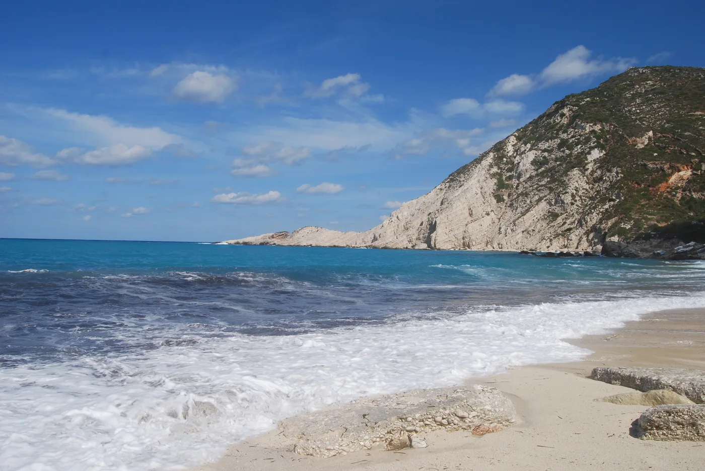
Pebbles and sunset on the west coast.
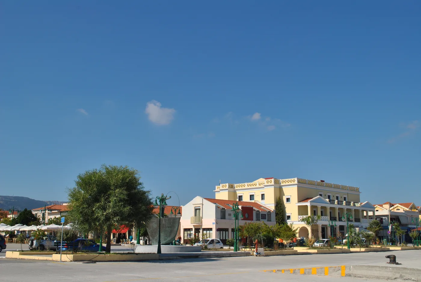
The island's second town.
Photos: Tigerente (CC BY 4.0), Splendid entry (CC BY 3.0), Matt Sims (CC BY 2.0), Kefalonia 2017 (CC BY-SA 4.0) · Wikimedia Commons
🏝️ Beaches
- Myrtos: white pebbles below a tall cliff, on the northwest coast. Often has waves.
- Antisamos: pebbles and clear water between green hills, near Sami.
- Petani: pebbles and sunset on Paliki.
- Xi: reddish sand and shallow water, good for children.
- Makris Gialos and Platis Gialos: sandy beaches in Lassi, a few minutes from Argostoli.
- Skala: a long sandy beach at the southern tip, with calm water.
The light enters Melissani Lake mainly between 12 and 1 at midday. That is when the water turns a bright blue. Earlier or later the lake is darker.
🍽️ What to eat
Try the Kefalonian meat pie, with different meats, rice and spices, salt cod with aliada, a garlic and potato dip, and mandoles, caramelised almonds. Pair your meal with a glass of Robola, the white wine grown in the island's hills.
📅 When to go
The best time is May, June and September: warm sea, fewer people on the beaches and good weather for walking on Mount Ainos. In July and August, Myrtos and Fiskardo fill up. In winter the island is very quiet and many places to stay close, but Argostoli is lively all year round.
✈️ How to get there from Athens
| How | Duration | From | Notes |
|---|---|---|---|
| Plane | About one hour | Athens airport | The fastest way. The airport is close to Argostoli. |
| KTEL bus and ferry | About 6–7 hours | Kifissos KTEL station | The bus boards the ferry at Kyllini for Poros. |
| Car and ferry | About 5–6 hours | Athens to Kyllini | About an hour and a half by ferry from Kyllini. |
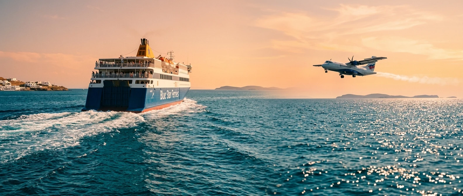
From Ioulianou 50, you reach the airport on Line 1 to Monastiraki and then Line 3. For the KTEL Kifissos bus station, take Line 1 one stop to Omonia and then bus 051. On the island you need a car, because distances are long and buses are few. To compare ferry and plane, see our guide to ferry or plane.
🗓️ Four days on Kefalonia
Argostoli and Paliki
Morning in Argostoli: the Lithostroto, the De Bosset Bridge and Katavothres. In the afternoon take the ferry to Lixouri and watch the sunset at Petani.
Caves and Antisamos
A boat on Melissani Lake around midday, then Drogarati Cave. In the afternoon swim at Antisamos and eat in Sami.
Myrtos, Assos, Fiskardo
A swim or the view at Myrtos, a stop at the Assos viewpoint and lunch in Fiskardo. Back via Agia Efimia.
Mount Ainos and Omala
Morning on Mount Ainos, walking in the fir forest. Then the Monastery of Agios Gerasimos, a glass of Robola and the Castle of Agios Georgios.
Frequently asked questions
Where should I stay on Kefalonia?
In Argostoli or Lassi, if you want restaurants and nearby sandy beaches. In Sami or Agia Efimia, if you want a base for the caves and Myrtos. In Fiskardo or Assos, for peace and pretty villages.
When is the best time for Melissani?
Around midday, when the sun comes in through the opening in the roof. That is also when it is busiest, so expect a short queue.
Can I go to Ithaca from Kefalonia?
Yes. Ferries go from Sami and, in summer, boats from Fiskardo. It makes a good day trip.
How many days do I need?
At least four days for Myrtos, the caves, Fiskardo, Argostoli and Mount Ainos. To see Paliki too at a relaxed pace, a week.
— Kathy