🪪 The island at a glance
📍 Where it is
Zakynthos is the southernmost of the large Ionian islands, south of Kefalonia and west of the Peloponnese. The Venetians, who held it for centuries, called it Zante and «Fiore di Levante», the flower of the East. The nearest mainland port is Kyllini, in the Peloponnese.
📍 Where Zakynthos is
Zakynthos is the southernmost of the large Ionian islands, west of the Peloponnese. The island is shown in red, and in green Kyllini, where the ferry leaves from, Piraeus and Athens airport.
🗺️ The map of the island
Zakynthos has two faces. The west side is mountainous, with pine forests, villages and high cliffs that drop straight into the sea. That is where you find Navagio, Porto Limnionas and the sunsets. The east and south side is lower, with the town, the sandy beaches and the large Bay of Laganas. At the northern tip, on Cape Skinari, are the Blue Caves.
🗺️ Map of Zakynthos
The town and the long sandy beaches are on the east and south side, around the Bay of Laganas. The west side is mountainous, with high cliffs, Navagio and the sunsets. The Blue Caves are at the northern tip. Tap each number to see what it is.
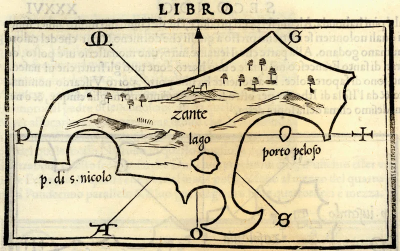
Map: Benedetto Bordone, 1547 (Public domain) · Wikimedia Commons
⚖️ Is it worth it? The pros and cons
Zakynthos has some of the most beautiful coastal scenery in Greece, but also areas of heavy tourism. Here is an honest picture.
📊 At a glance, from 1 to 5
👍 The pros
- Navagio and the Blue Caves, among the best-known views in Greece.
- The loggerhead turtles and the National Marine Park in the Bay of Laganas.
- A green island, with cliffs in the west and sandy beaches in the south.
- Many direct flights and good prices outside August.
- Sunsets at Keri and Kambi.
👎 The cons
- Laganas is very touristy, with loud nightlife.
- The best-known sights are seen mainly from a boat.
- In August it gets very crowded.
- The town was rebuilt after the 1953 earthquake and has few old buildings.
- You need a car for the villages and the west coast.
🚢 Navagio and the Blue Caves
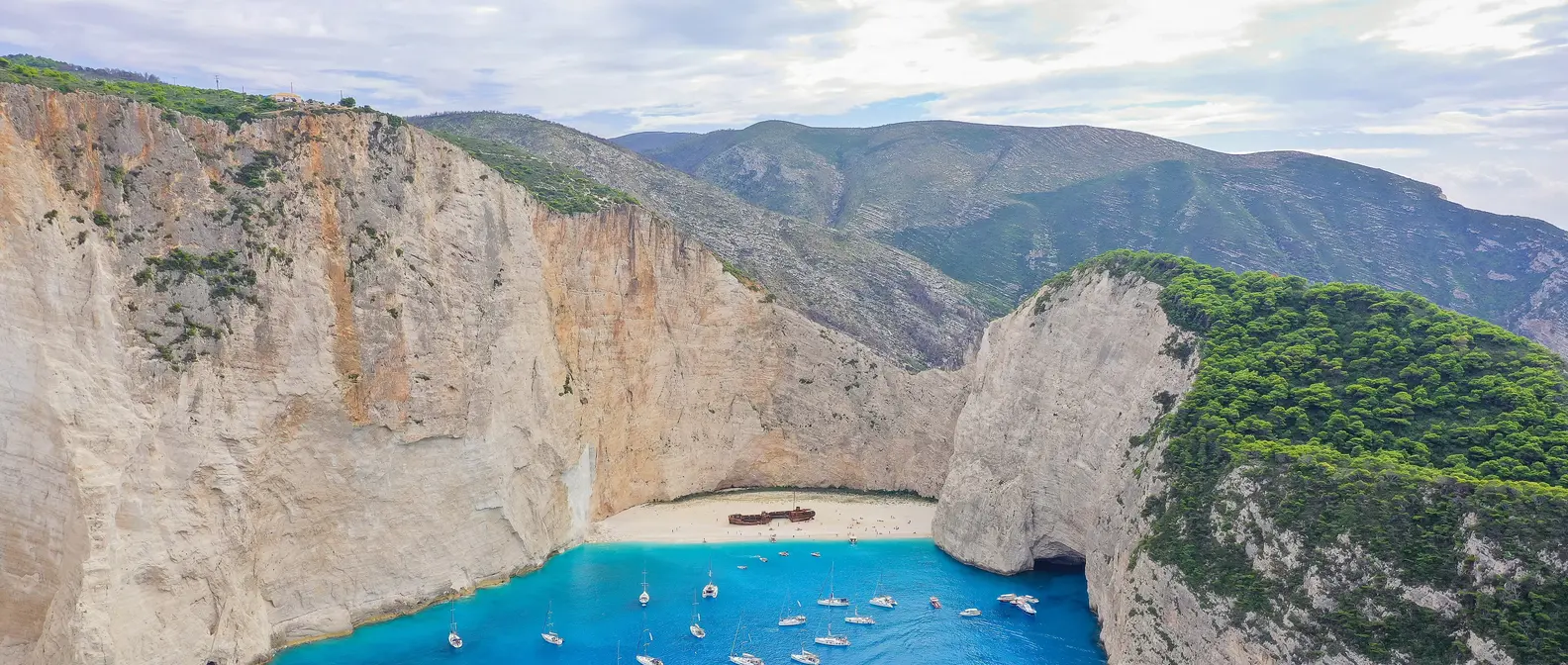
Navagio is a small cove on the north-west coast, enclosed by cliffs hundreds of metres high. On its sand lies a rusty ship that ran aground there in 1980. You can only reach the cove by boat, from Agios Nikolaos in the north, from Porto Vromi or from the town. At times landing on the beach is banned because of rockfalls, so ask before you book.
For the famous photo, drive to the viewpoint above the cove, near the villages of Anafonitria and Volimes. Go early in the morning or late in the afternoon, as it gets crowded at midday. At the northern tip of the island, the Blue Caves are caves and arches in the rocks, where the water seems lit from within. The small boats from Agios Nikolaos go inside when the sea is calm.
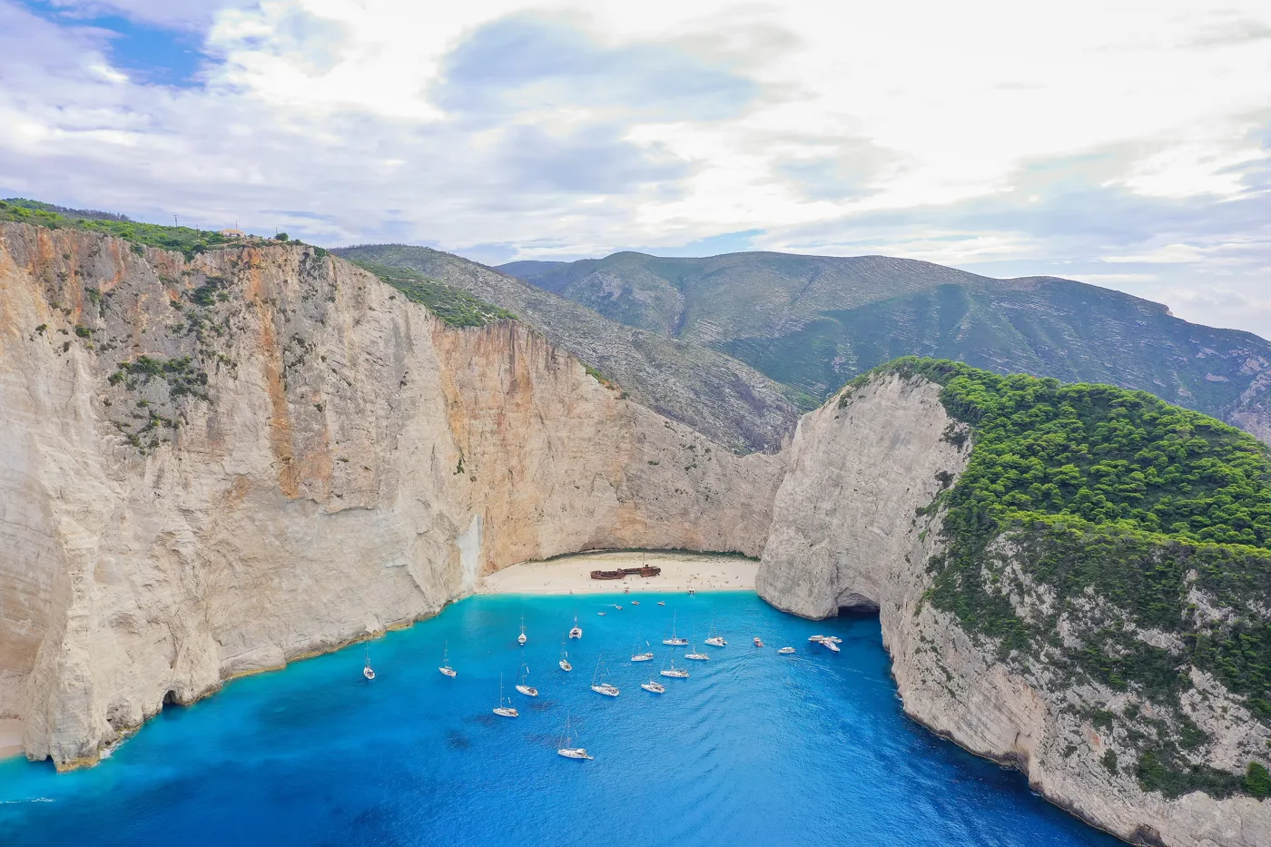
The cove with the ship, below high cliffs.
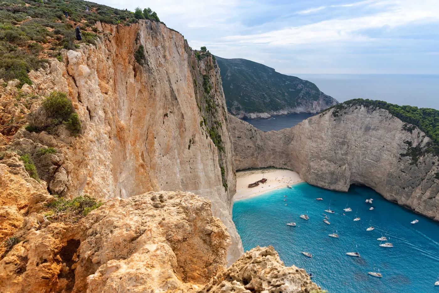
The view from above.
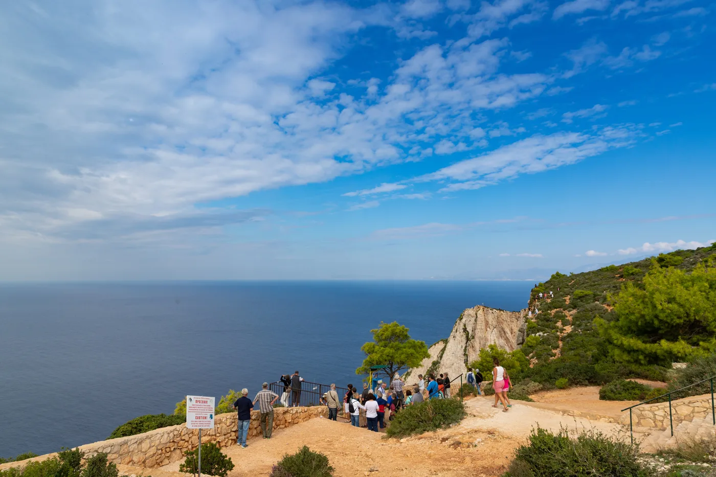
A path from the road leads to the view.
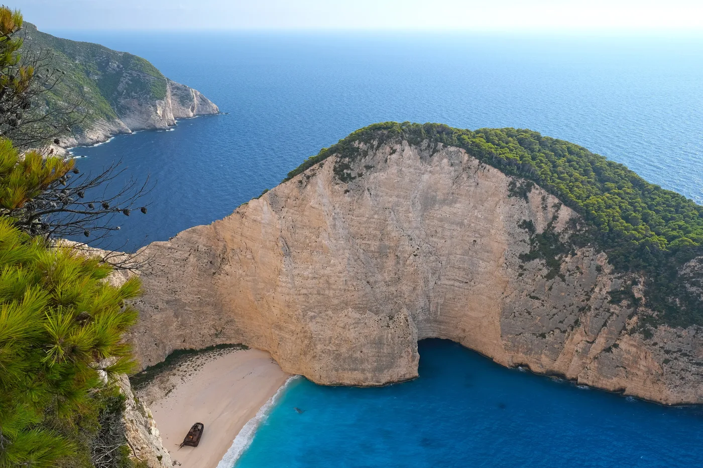
Reachable only by boat.
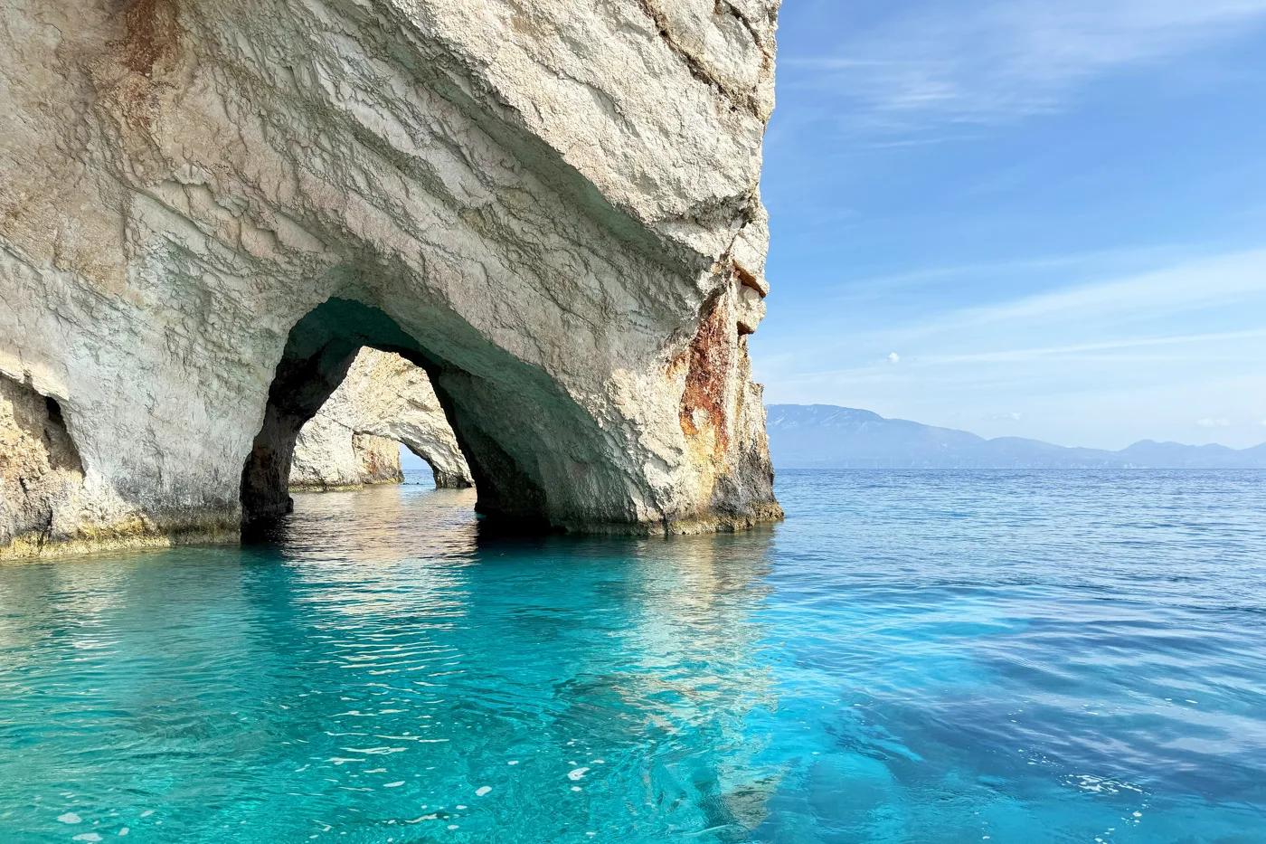
Arches and caves at Cape Skinari.
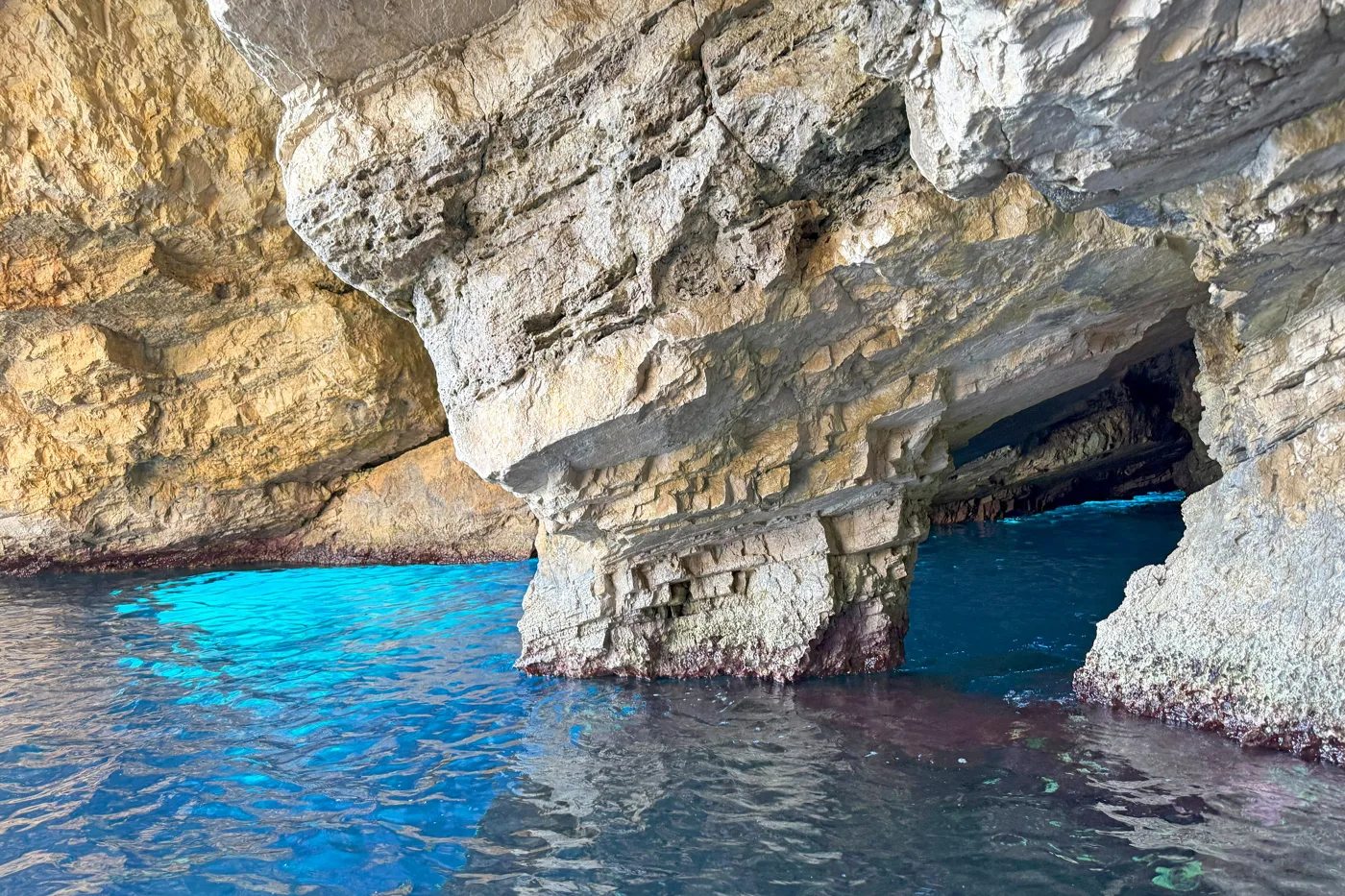
The water is lit from below.
Photos: dronepicr (CC BY 2.0), kallerna (CC BY-SA 4.0), Bouke ten Cate (CC BY 4.0) · Wikimedia Commons
For the Blue Caves, go in the morning: the light gets into the caves and the sea is usually calmer. The first boats are also less crowded.
🐢 The loggerhead turtles and the marine park
The Bay of Laganas is one of the most important places in the Mediterranean where the loggerhead sea turtle lays its eggs. To protect it, the bay became a National Marine Park. On some beaches, such as Gerakas, Kalamaki and Dafni, rules apply: no entry at night, no umbrellas close to the water and no litter.
In the middle of the bay is Marathonisi, «turtle island», with a sandy beach and turquoise water. Small boats from Laganas and Keri visit it and often see turtles in the sea. If you see a turtle, keep your distance, don’t touch it and don’t feed it.
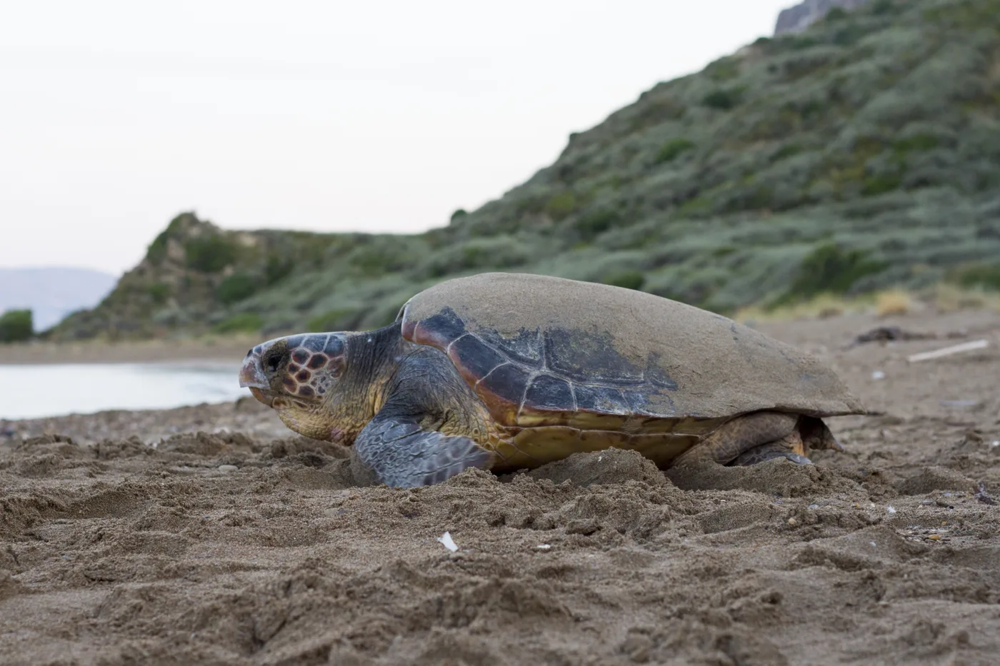
It lays its eggs on the beaches of Laganas.
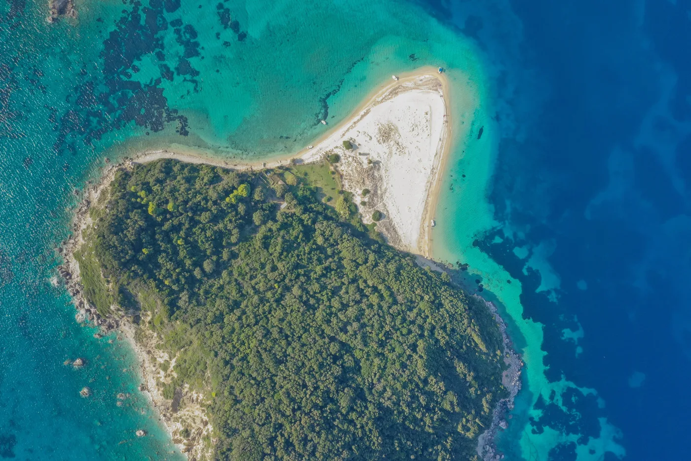
«Turtle island».
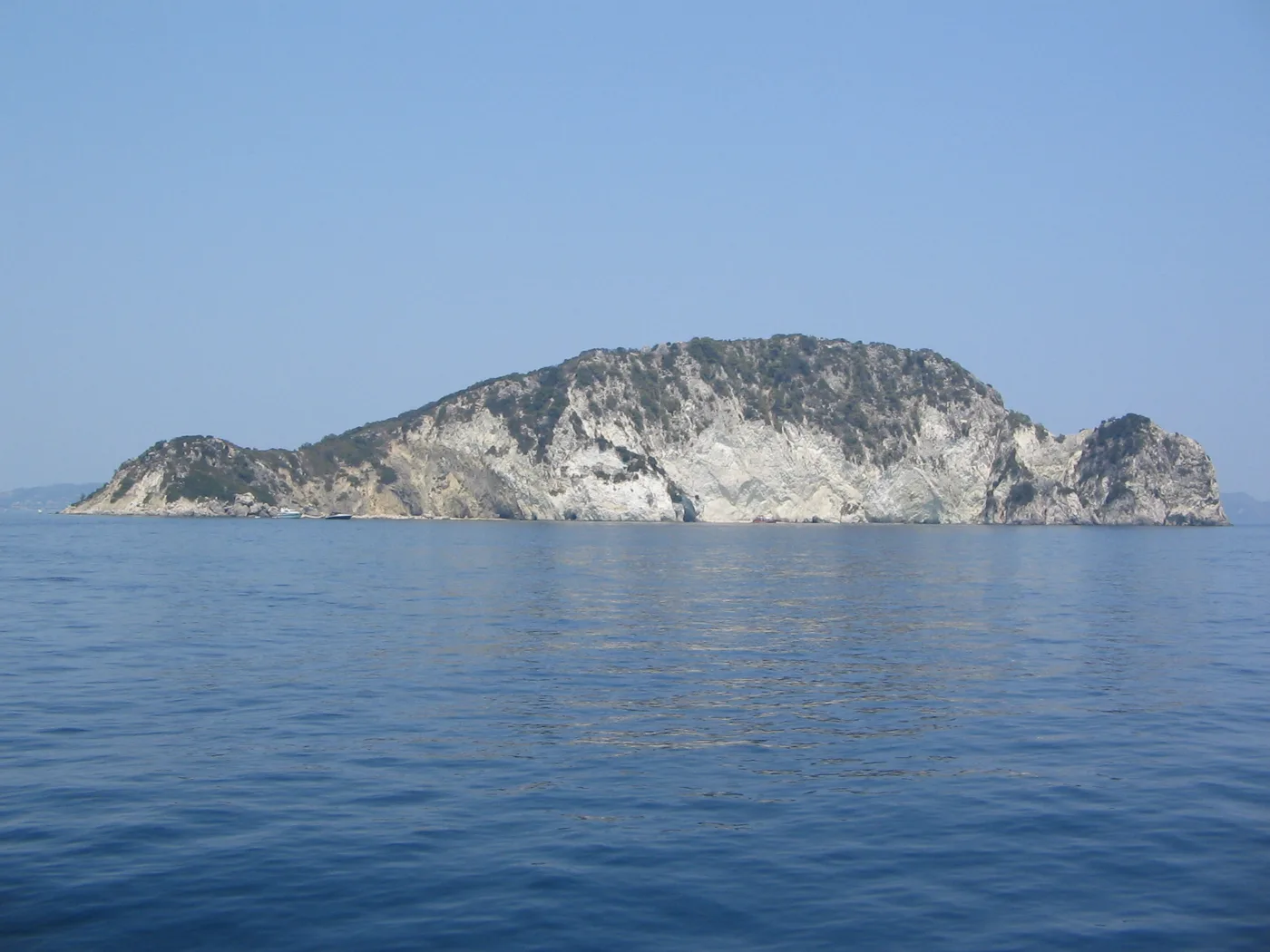
In the middle of the Bay of Laganas.
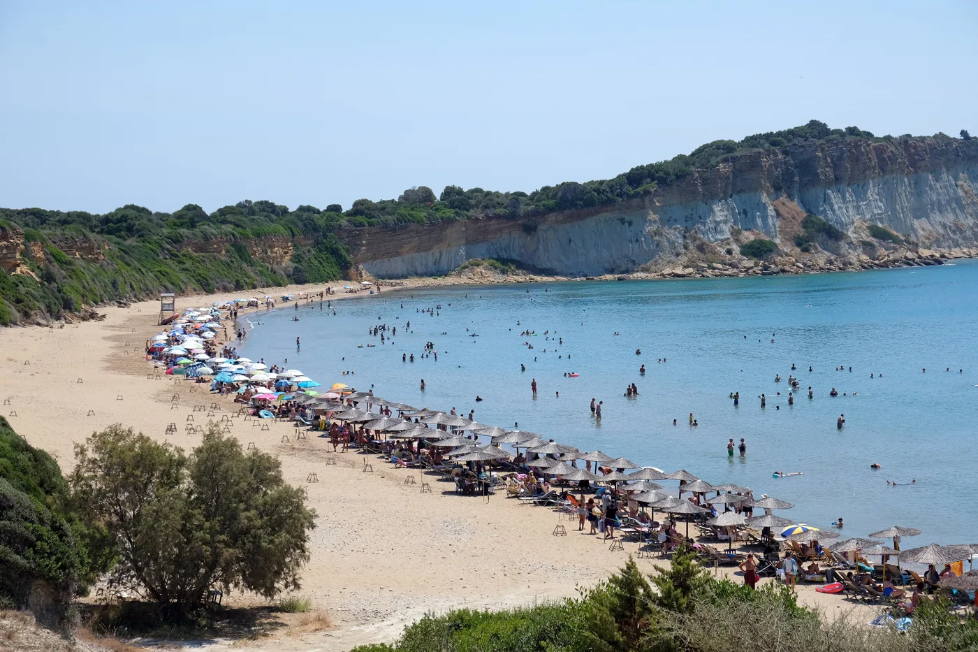
A beach of the marine park.
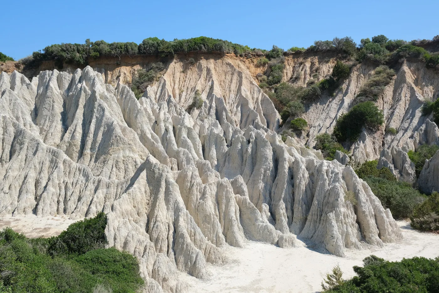
White rocks above the beach.
Photos: Dionysisa303 (CC BY-SA 4.0), dronepicr (CC BY 2.0), Andy Buckingham (CC BY 2.0), kallerna (CC BY-SA 4.0) · Wikimedia Commons
🏛️ Zakynthos town
The town spreads around the harbour, with arcades and large squares. The 1953 earthquake and the fire that followed destroyed almost all of the old Venetian town, which was rebuilt afterwards. The large Solomos Square, by the sea, has the poet’s statue, the Municipal Library and the Byzantine Museum. Next to it, the church of Agios Nikolaos tou Molou is one of the few buildings that survived the earthquake.
Dionysios Solomos was born here. He wrote the «Hymn to Liberty», the poem that became the Greek national anthem. The Solomos Museum is on St Mark’s Square. Above the town, on Bochali hill, are the Venetian castle and tavernas with views over the whole town and the sea. At the southern end of town is the large church of Agios Dionysios, the island’s patron saint.
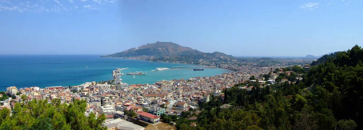
The best view of the town.
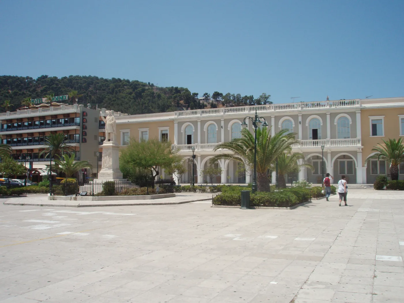
The large square by the sea.
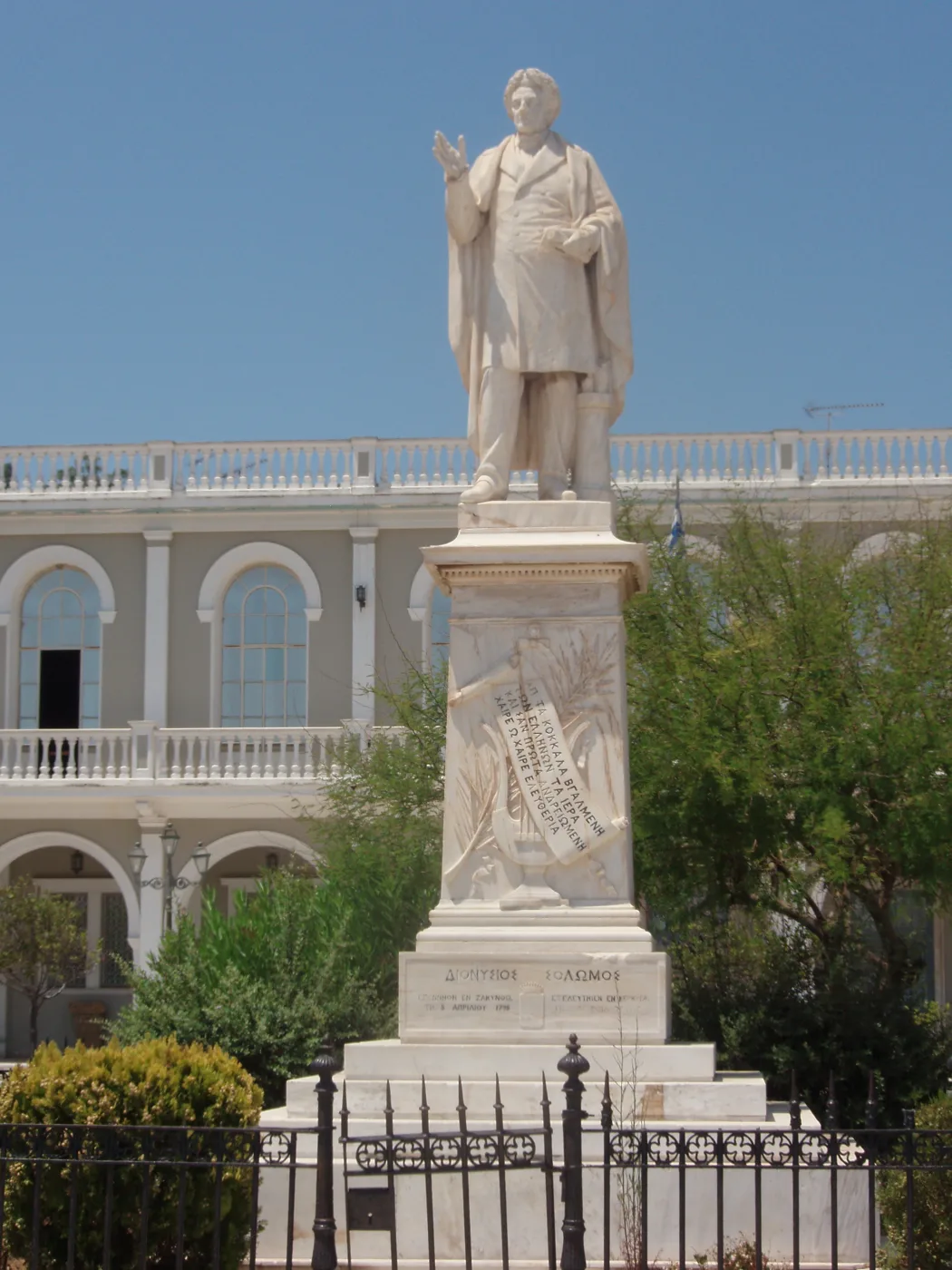
The poet of the national anthem.
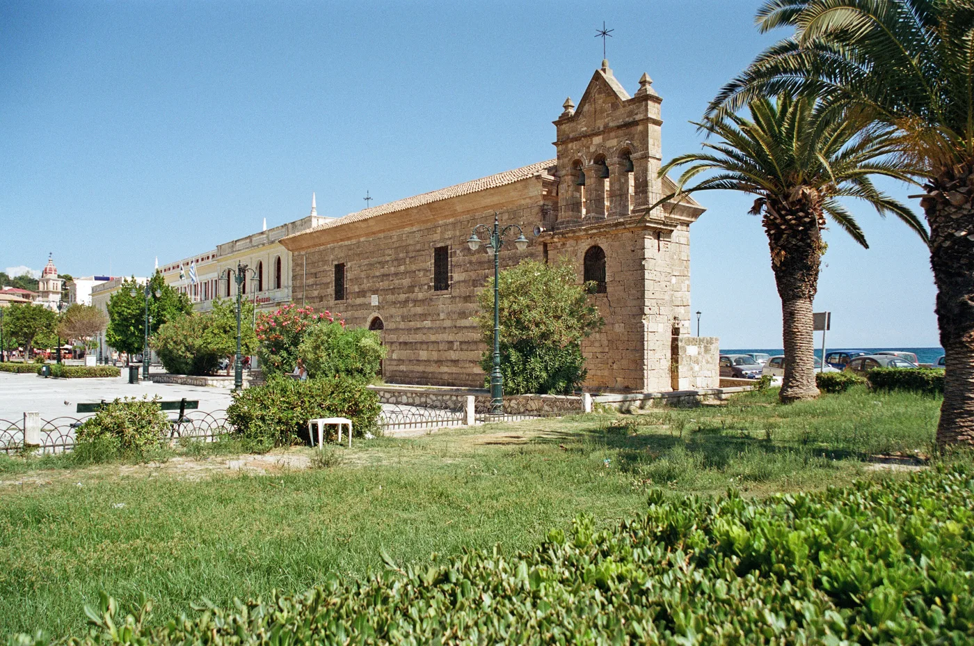
One of the few buildings that survived the earthquake.
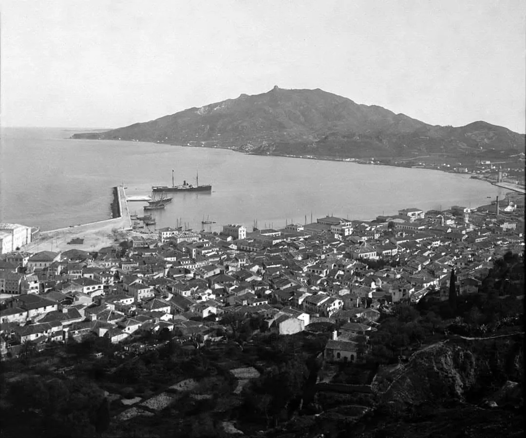
The old town around 1895.
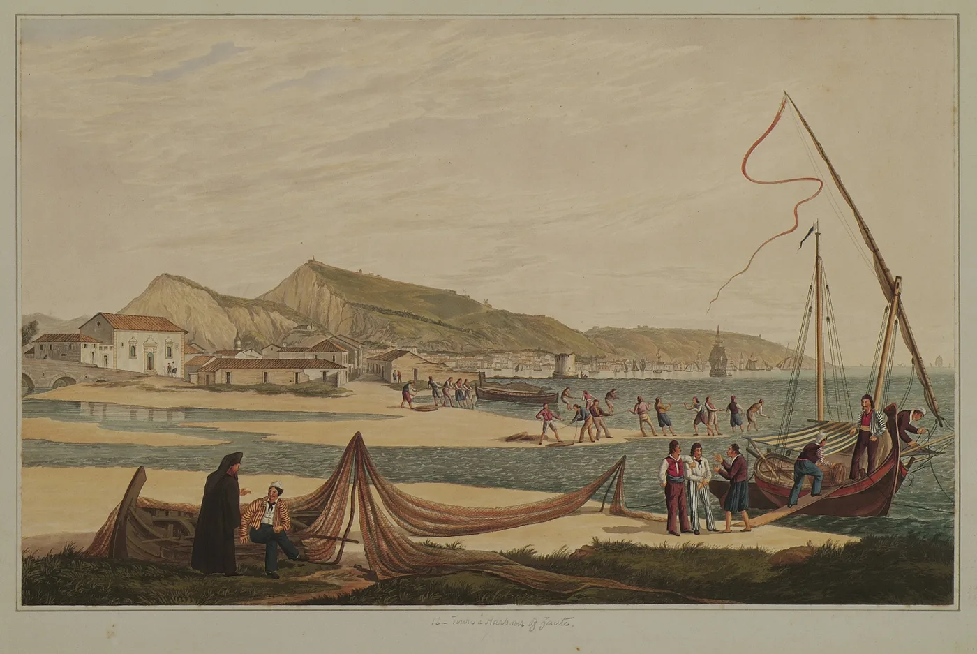
The town and harbour in a work by Joseph Cartwright.
Photos: Roddy McDougall (CC BY 2.0), Christaras A (CC BY 3.0), Herbert wie (CC BY-SA 4.0), Public domain · Wikimedia Commons
🌅 The west coast and the sunsets
The west coast is wild and high, with few beaches, reached by narrow roads. Porto Limnionas is a narrow inlet with rocks and clear, deep water, where you swim off the rock ledges. Further north, on the east coast, Xigia has sulphur springs that rise in the sea, so the water smells of sulphur and turns milky.
On the southern cape, near the village of Keri, a lighthouse stands above high cliffs. From there you see the Mizithres, two white rocks in the sea, and one of the most beautiful sunsets on the island. Another good spot for sunset is Kambi, high above the sea, with tavernas on the edge of the cliff.
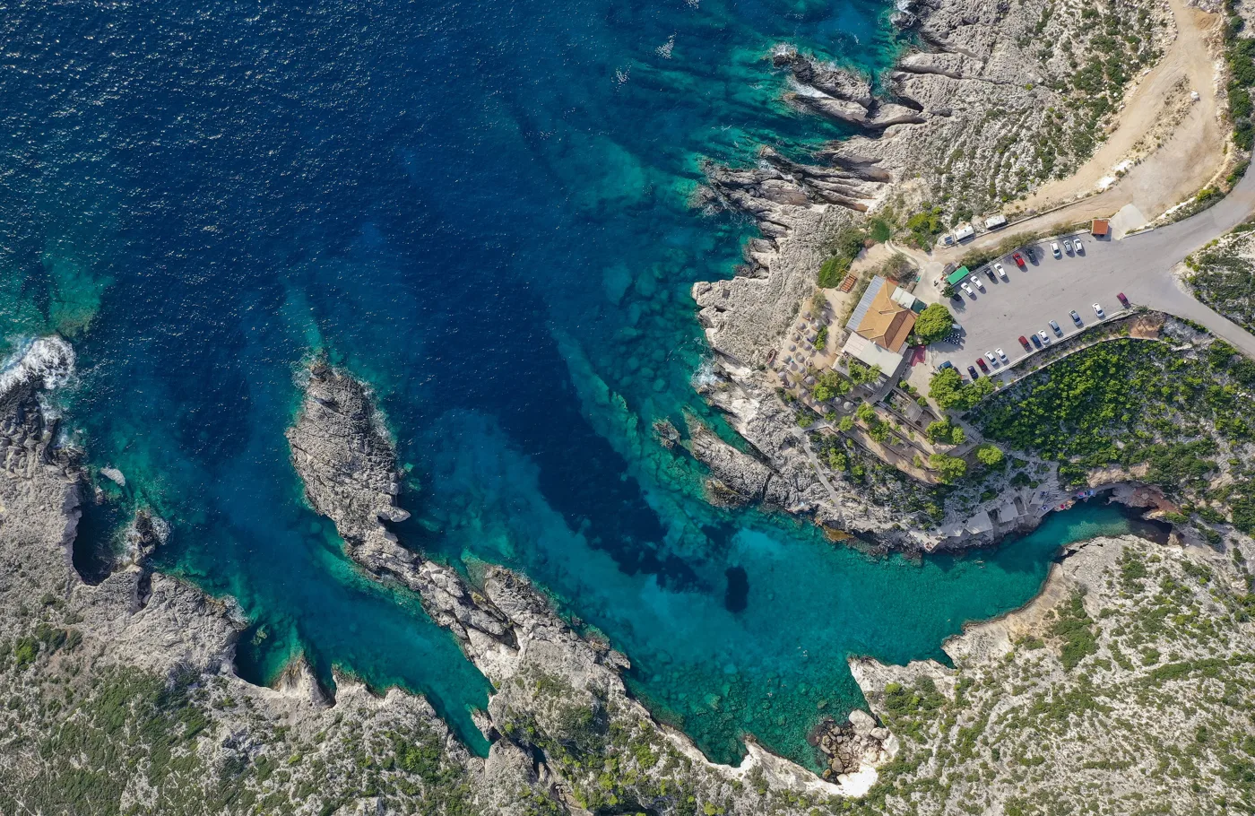
Rocks and clear water in the west.
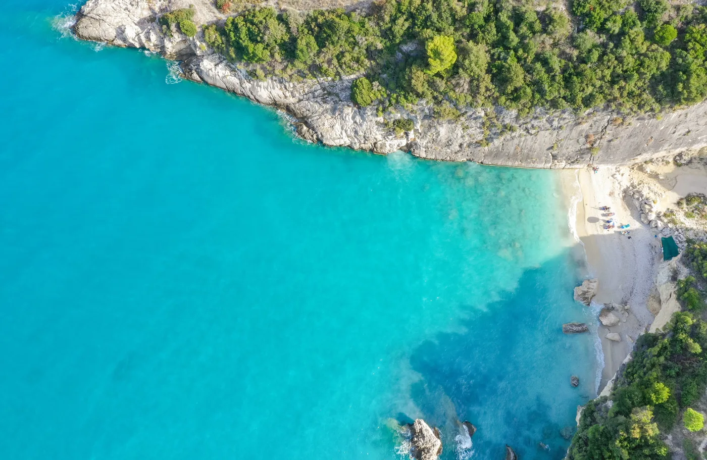
Sulphur springs in the sea.
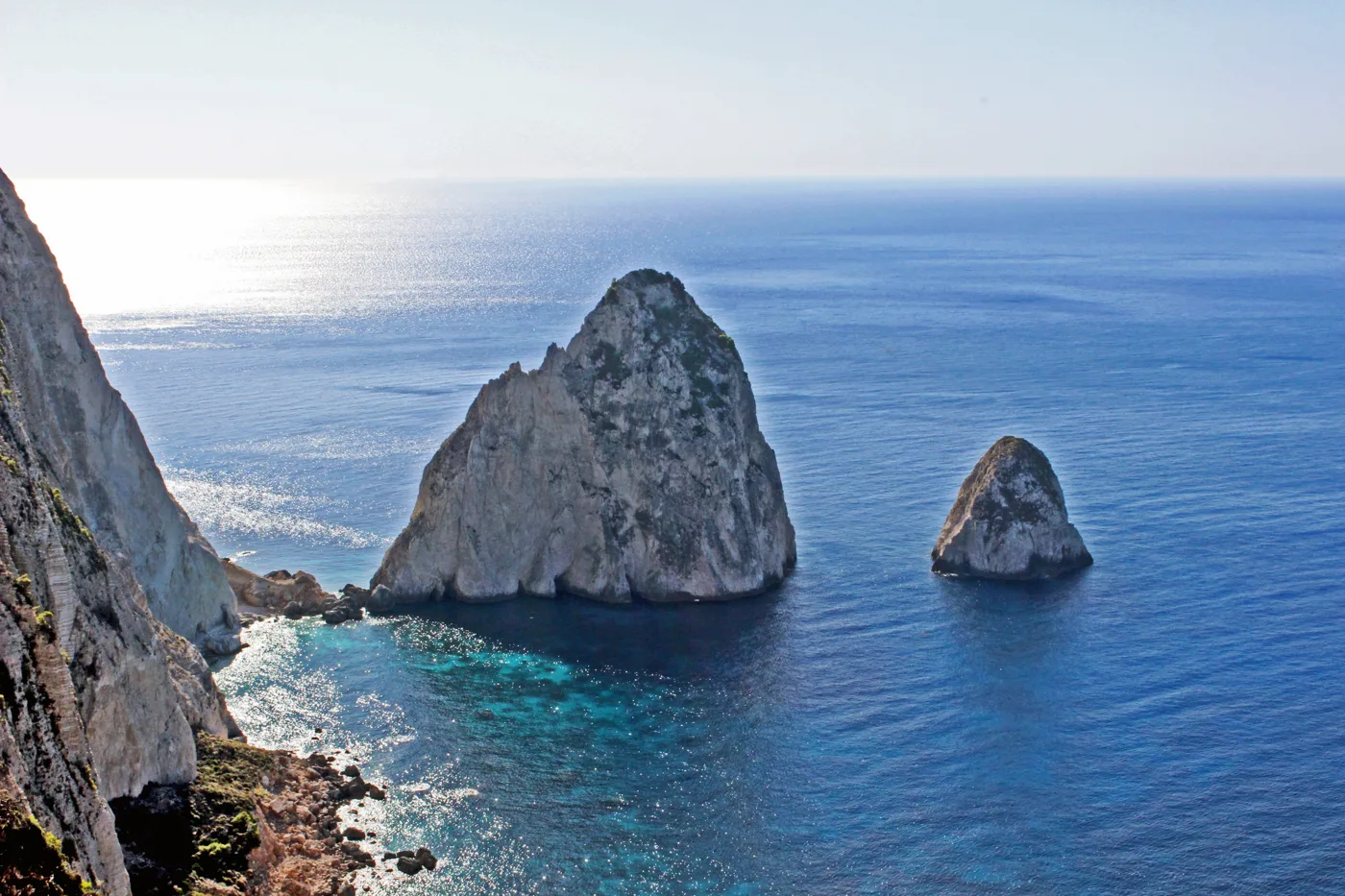
Two rocks off the southern cape.
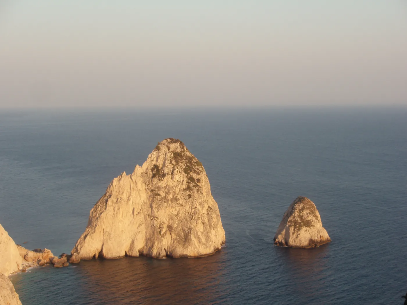
One of the loveliest sunsets.
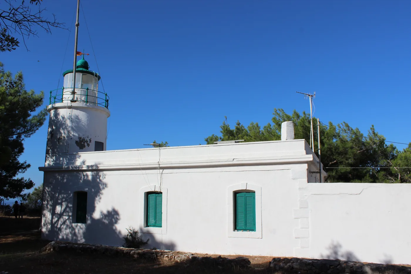
At the south-western tip of the island.
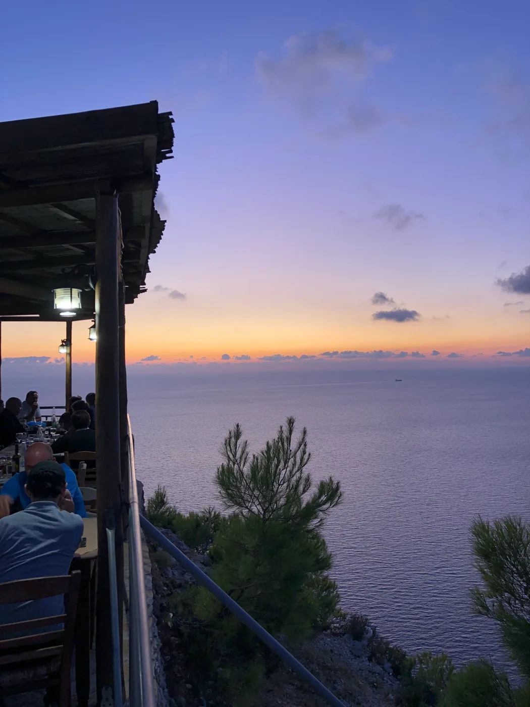
Sunset from up high.
Photos: dronepicr (CC BY 2.0), Maesi64 (CC0), Christaras A (CC BY 3.0), Chris X. (CC BY-SA 4.0) · Wikimedia Commons
⛰️ The mountain villages
In the hills of Zakynthos are villages with stone houses, olive groves and vineyards. Volimes is the largest village of the north, known for its weaving and honey. Nearby, the Anafonitria Monastery has a stone tower from the Venetian era. Tradition says that here Saint Dionysios forgave his brother’s murderer. A drive through the villages shows a quieter Zakynthos, far from the beaches.
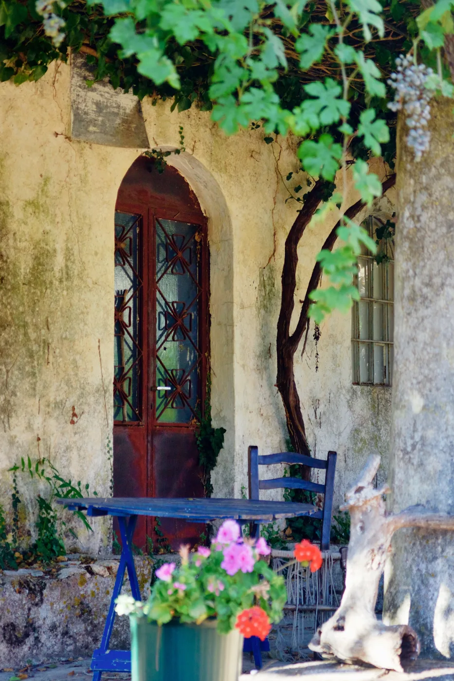
A monastery in the hills of the north.
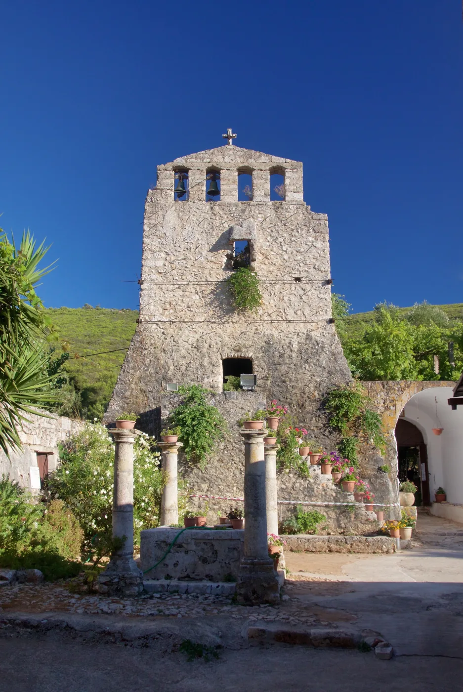
A stone tower from the Venetian era.
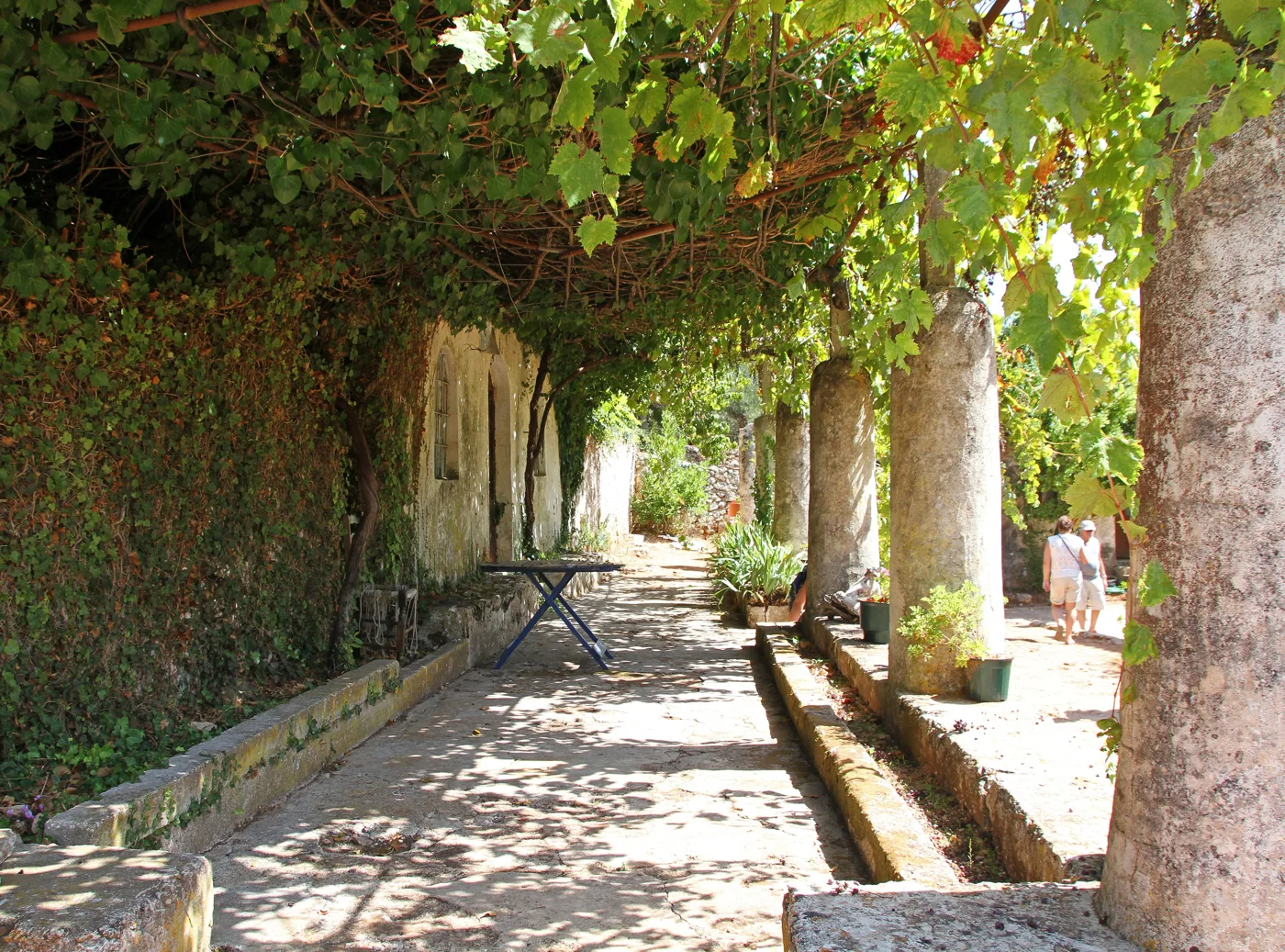
Peace in the mountain villages.
Photos: Hanc Tomasz (CC BY-SA 3.0), Tony Hisgett (CC BY 2.0) · Wikimedia Commons
🏖️ The beaches
- Gerakas: a long sandy beach with shallow water on the Vasilikos peninsula, inside the marine park.
- Porto Roma and Vasilikos: sandy beaches with pine trees on the eastern peninsula, quieter than Laganas.
- Laganas: a long sandy beach with crowds, bars and nightlife.
- Tsilivi and Alykes: sandy beaches on the north-east coast, good for families.
- Marathonisi: a sandy beach on the islet, by boat only.
On the beaches of the park you will see small fenced-off spots with stakes. These are nests with turtle eggs. Don’t go near them and don’t let children dig close to them.
🍽️ What to eat
Try the ladotyri of Zakynthos, a sharp cheese matured in olive oil, skordostoumbi, aubergines with garlic and tomato, and mandolato, the almond and honey nougat you will find all over town. In the evening, some tavernas fill with kantades, the songs of Zakynthos with guitar and voices.
📅 When to go
The best time is May, June and September: warm sea, calm water for the boats and fewer people. In July and August the island fills up, and Laganas has busy nightlife. From November to March most places to stay close and the boats to Navagio don’t run.
✈️ How to get there from Athens
| How | Duration | From | Notes |
|---|---|---|---|
| Plane | Less than an hour | Athens airport | The fastest way. The airport is near Laganas. |
| KTEL bus and ferry | About 5–6 hours | Kifissos KTEL station | The bus boards the ferry at Kyllini. |
| Car and ferry | About 4–5 hours | Athens to Kyllini | About an hour on the ferry from Kyllini. |
From Ioulianou 50 you get to the airport on Line 1 to Monastiraki and then Line 3. For the KTEL Kifissos bus station, take Line 1 one stop to Omonia and then bus 051. On the island, a car or scooter gives you freedom, as buses are few. To compare ferry and plane, see our guide to ferry or plane.
🗓️ Four days on Zakynthos
The town and Bochali
Morning on Solomos Square and at the Solomos Museum, a stroll around town and the harbour. In the afternoon, go up to Bochali for the view at sunset.
North: caves and Navagio
A boat from Agios Nikolaos to the Blue Caves and Navagio from the sea. Then drive to the viewpoint above Navagio and come back via Anafonitria.
Laganas and the turtles
A boat in the Bay of Laganas to Marathonisi and, with a little luck, the turtles. In the afternoon, a swim at Gerakas or Porto Roma.
West coast and sunset
A swim at Porto Limnionas, then a drive to Keri for the Mizithres. Stay at the lighthouse or in Kambi for the sunset.
Frequently asked questions
Can I go down to Navagio beach?
Only by boat, and only when it is allowed. At times landing is banned because of rockfalls. From the road you can always see the cove from the viewpoint.
Where will I see loggerhead turtles?
In the Bay of Laganas, usually from a boat around Marathonisi. The hatchlings come out of their nests in August and September, mostly at night.
Is Zakynthos good for families?
Yes, if you stay in the quiet areas, such as Vasilikos, Tsilivi or Alykes. Laganas is more for young people looking for nightlife.
How many days do I need?
Four to five days for Navagio, the caves, the turtles, the west coast and the town. For a relaxed holiday, a week.
— Kathy