🪪 The island at a glance
📍 Where it is
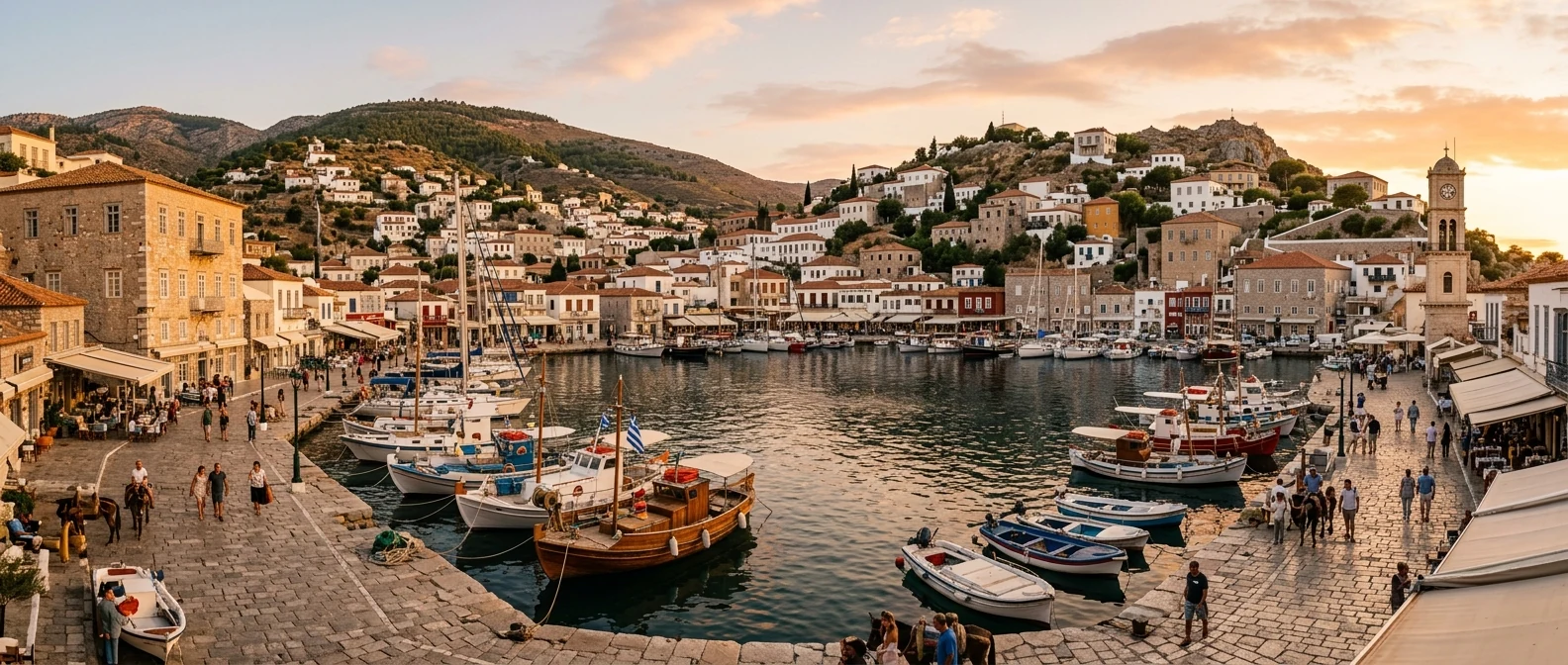
Salamis is the largest island in the Saronic Gulf, directly opposite Piraeus. From the shore at Perama to Paloukia, the island’s port, it is less than a mile, and the ferries make the crossing around the clock, every few minutes. On the west side, a second ferry links Nea Peramos, near Megara, with Faneromeni. You need no booking and no timetable: it is the only island you go to as if you were going to another neighbourhood of Athens.
📍 Where Salamis is
Salamis is the largest island in the Saronic Gulf, so close to Athens that you can see it from the Acropolis. The island is shown in red, and in green Athens, Piraeus and Perama, from where you cross by ferry.
🗺️ The map of the island
Salamis closes off the Gulf of Elefsina from the south, and its shape looks like a horseshoe, open to the west. The north is the town: Salamina, the capital, Paloukia with the port and Ampelakia, where the ancient city stood, right on the straits of the battle. At the north-western tip, the Monastery of Faneromeni. As you go south, the houses thin out and the pines begin: Selinia and Kaki Vigla in the east, Aianteio and Kanakia in the west, and in the south Peristeria, with the cave of Euripides.
🗺️ Map of Salamis
Salamis is shaped like a horseshoe, with its big bay to the west. In the north and east are the town, the port at Paloukia, Ampelakia and Selinia. At the north-western tip, the Monastery of Faneromeni. The south is covered in pines, with Aianteio, Kanakia, Peristeria with the cave of Euripides, and Kaki Vigla. Tap each number to see what it is.
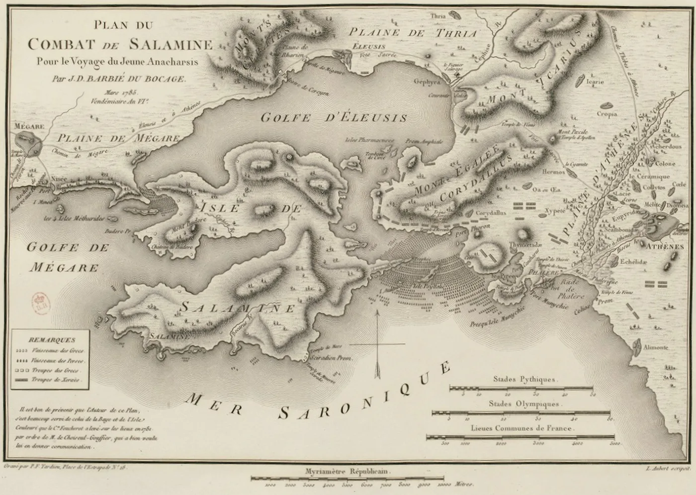
Map: J.-D. Barbié du Bocage, 1798 (Public domain) · Wikimedia Commons
⚖️ Is it worth it? The pros and cons
Salamis is not a postcard island. Tens of thousands of people live here, with shipyards in the north and apartment blocks in the town. It is worth it for its history, for its south and for being so close. Here is an honest picture.
📊 At a glance, from 1 to 5
👍 The pros
- The closest island to Athens: one ferry, around the clock.
- The straits of one of the greatest naval battles in history.
- The Monastery of Faneromeni, with thousands of figures painted on its walls.
- The cave of Euripides and a Mycenaean acropolis at Kanakia.
- Fish tavernas and neighbourhood prices, not tourist prices.
👎 The cons
- The town and the north are densely built, without island charm.
- The water near the shipyards and in the north is not for swimming.
- Few sights set up for visitors, very few signs.
- Without a car or scooter, the south is hard to reach.
⚔️ The battle and Ampelakia
In September 480 BC, the Persians of Xerxes had already burned Athens. The Athenians had fled to Salamis, and the Greek fleet waited in the straits, between the island and Attica. Themistocles lured Xerxes into attacking there, where the much larger Persian fleet had no room to manoeuvre, and the Greek triremes destroyed it. Xerxes, Herodotus says, watched the battle seated on a throne on the slopes of Mount Aigaleo. The battle of Salamis was the beginning of the end of the Persian campaign, and without it the Parthenon might never have been built.
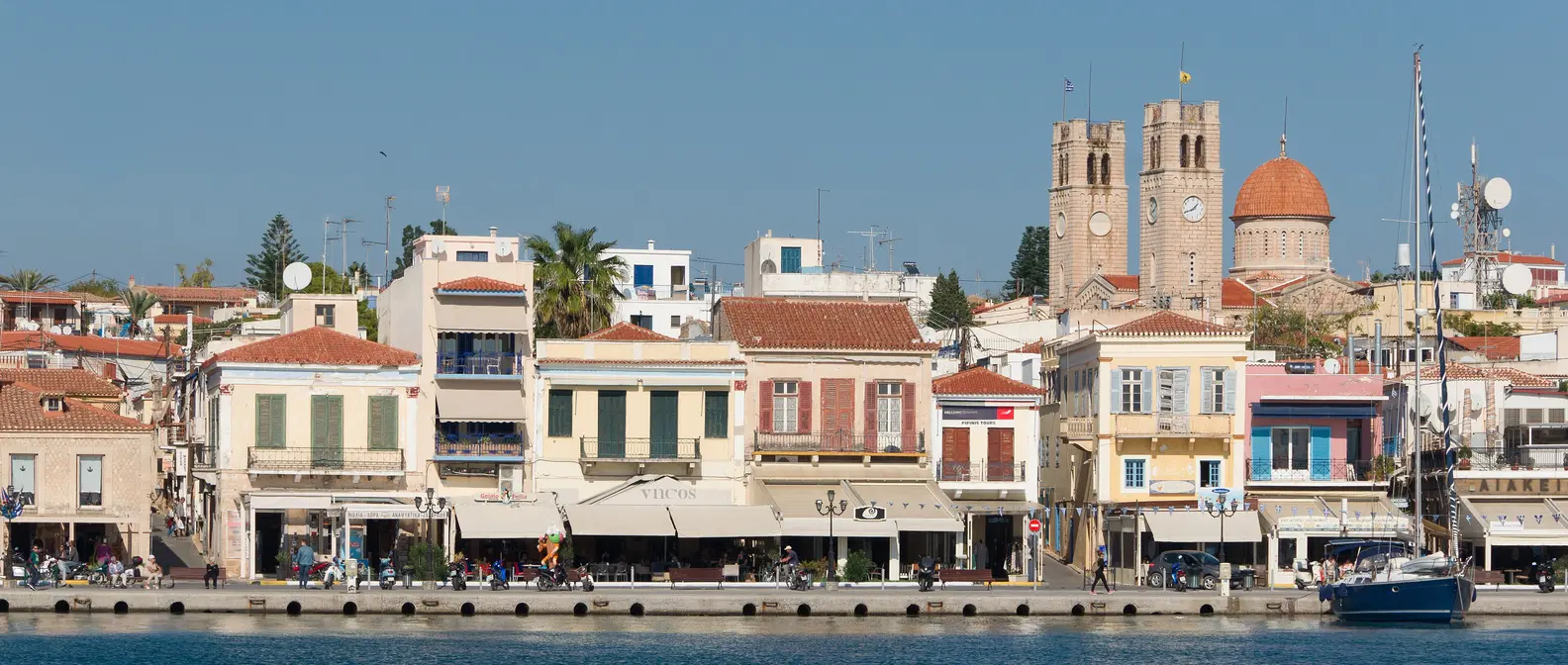
At Ampelakia, on the bay above the straits, stood the ancient city of Salamis, with its harbour. Today it is a quiet seaside village, with a stone mansion on the square, chapels among the pines and pieces of ancient walls here and there. In the town, the small Archaeological Museum shows finds from the whole island. Stand on the shore and look across towards Perama: there, in that narrow stretch of sea, the battle was fought.
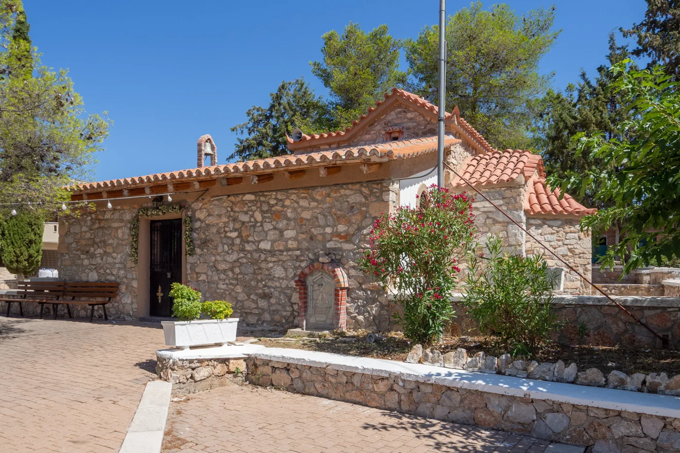
At Ampelakia, above the bay.
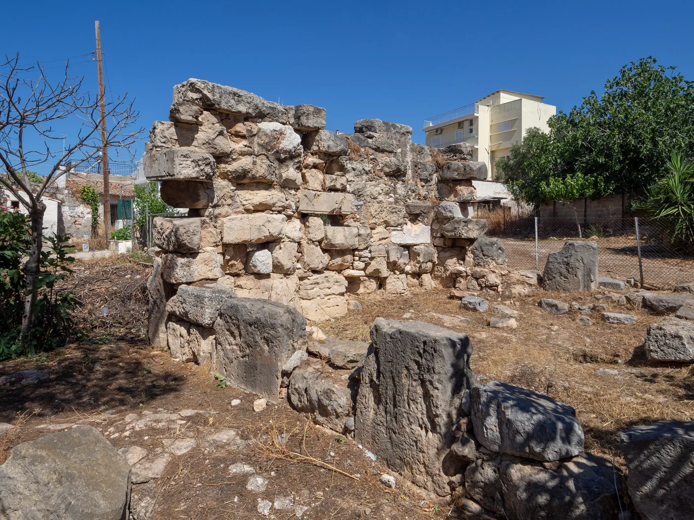
Ancient stones at Ampelakia.
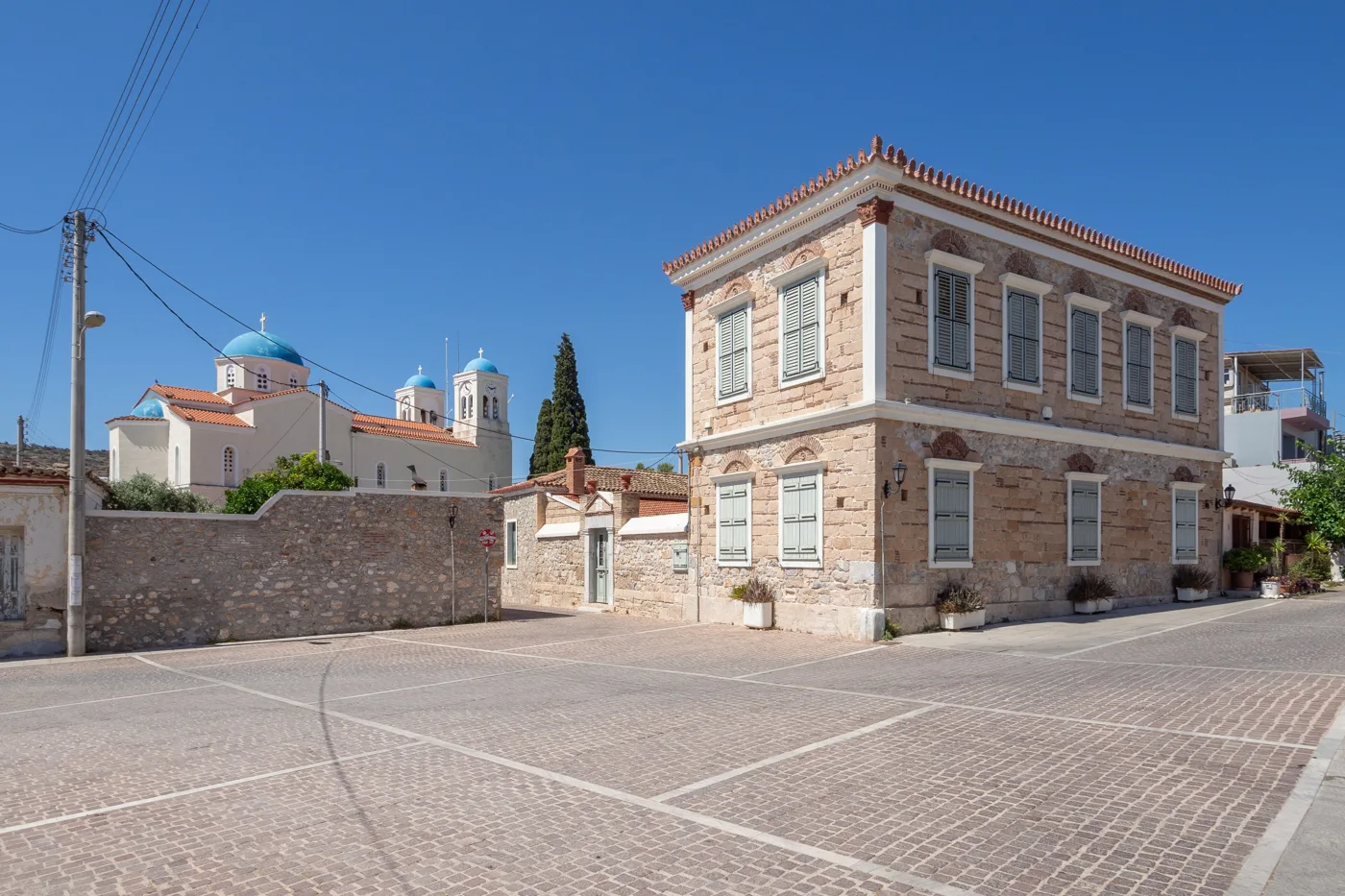
On the square at Ampelakia.
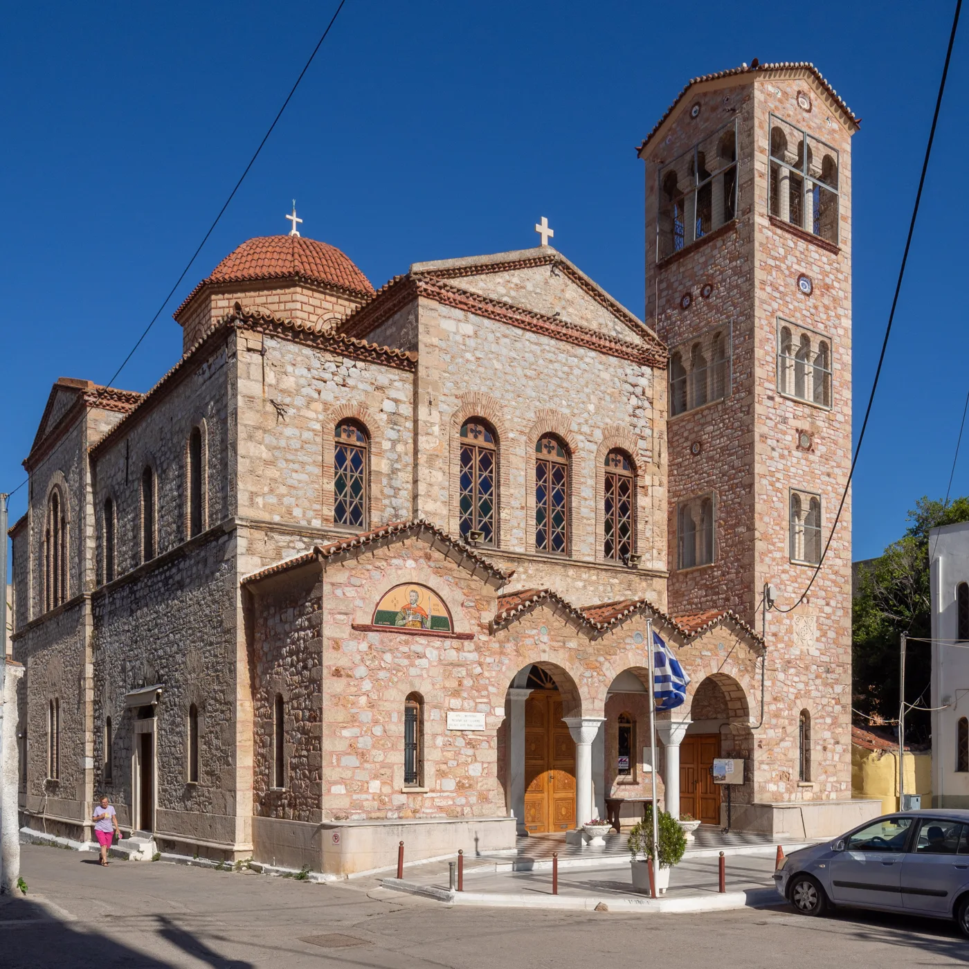
In the town of Salamina.
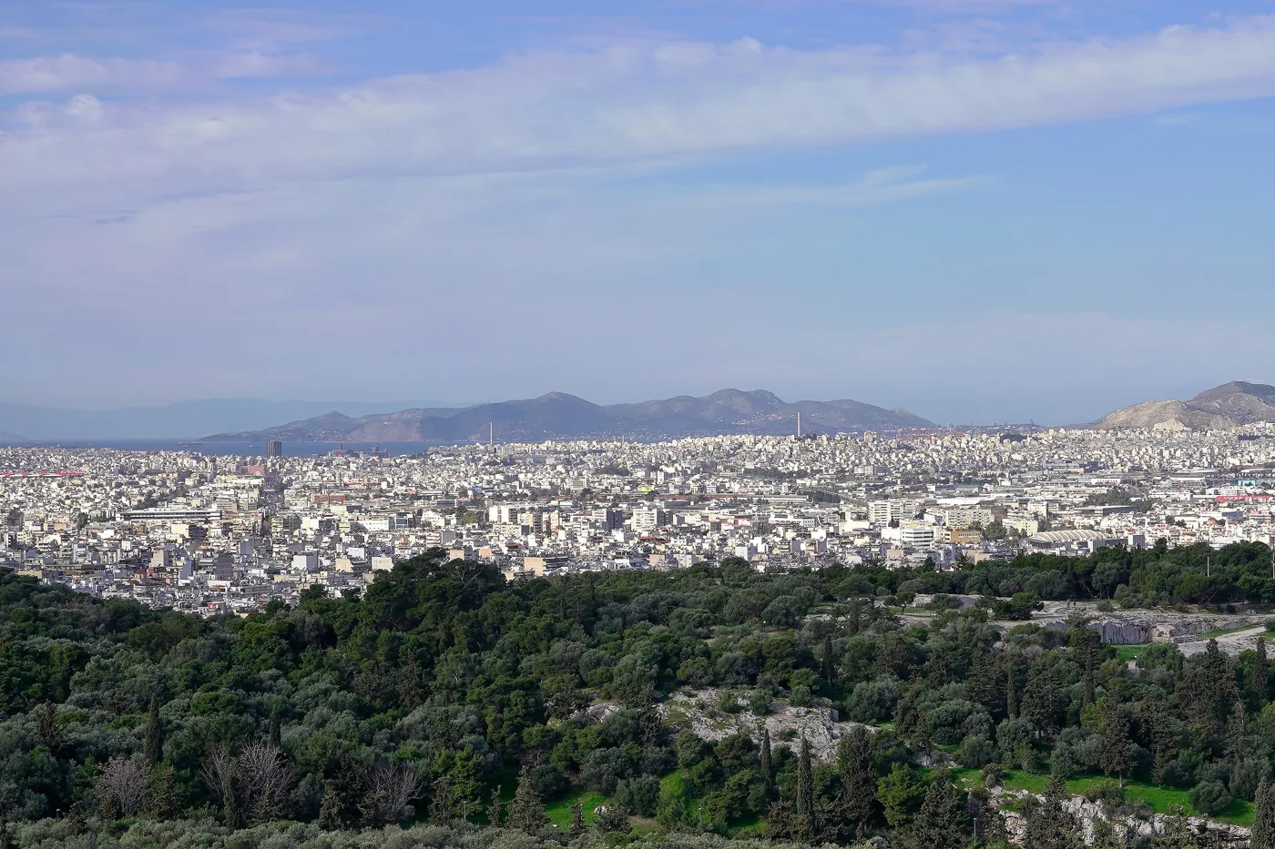
From Salamis towards the Saronic Gulf.
Photos: C messier (CC BY-SA 4.0), George E. Koronaios (CC BY-SA 4.0) · Wikimedia Commons
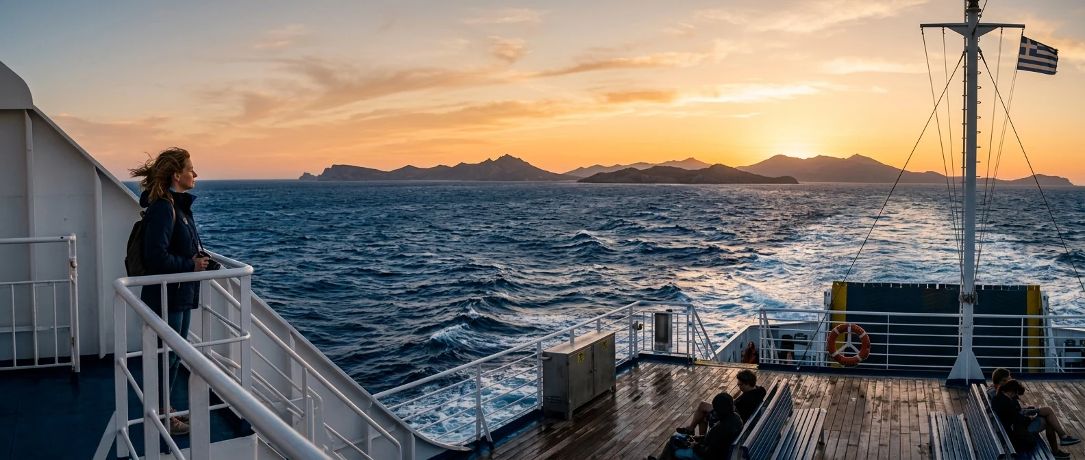
The ferry from Perama to Paloukia passes right over the scene of the battle. Go out on deck: to the left is the Kynosoura peninsula, ahead Ampelakia, behind you Attica, and in the distance Mount Aigaleo, from where Xerxes watched.
⛪ The Monastery of Faneromeni
At the north-western tip of the island, among pines and cypresses, stands the Monastery of Faneromeni, the best-known monastery in the Saronic Gulf. It was built in the 17th century on the ruins of an older church, and its main church has one of the most richly painted interiors in Greece: in 1735 the painter Georgios Markou from Argos and his pupils covered every inch of the walls with more than three thousand figures. The Last Judgement, saints, prophets, scenes from the life of Christ, all in deep blue, red and gold.
The courtyard, with its tall cypresses and benches in the shade, is one of the quietest places near Athens. The monastery keeps the icon of the Virgin that, according to tradition, was found in the ruins and gave it its name. On 23 August the big feast is held.
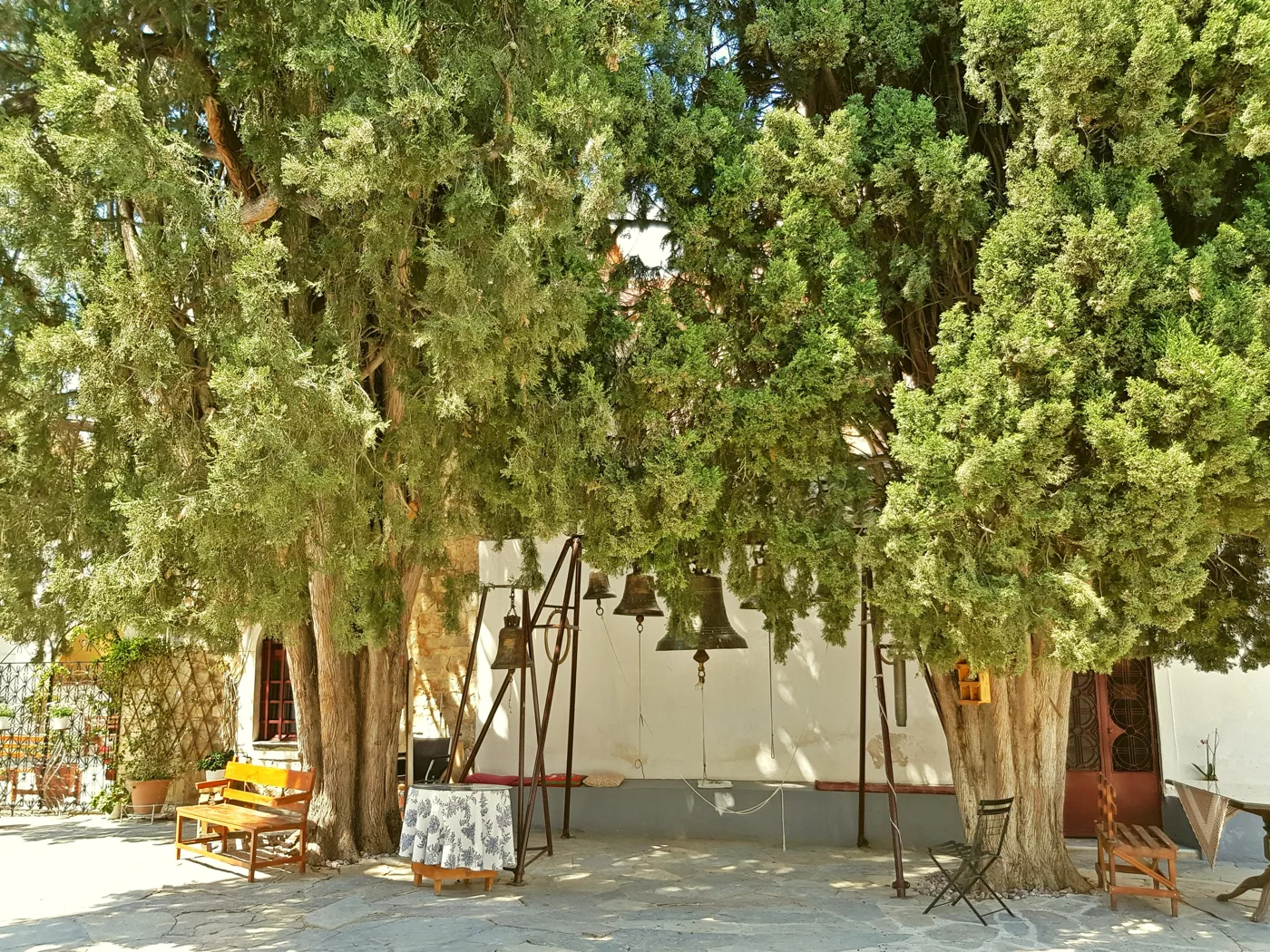
Under the cypresses.
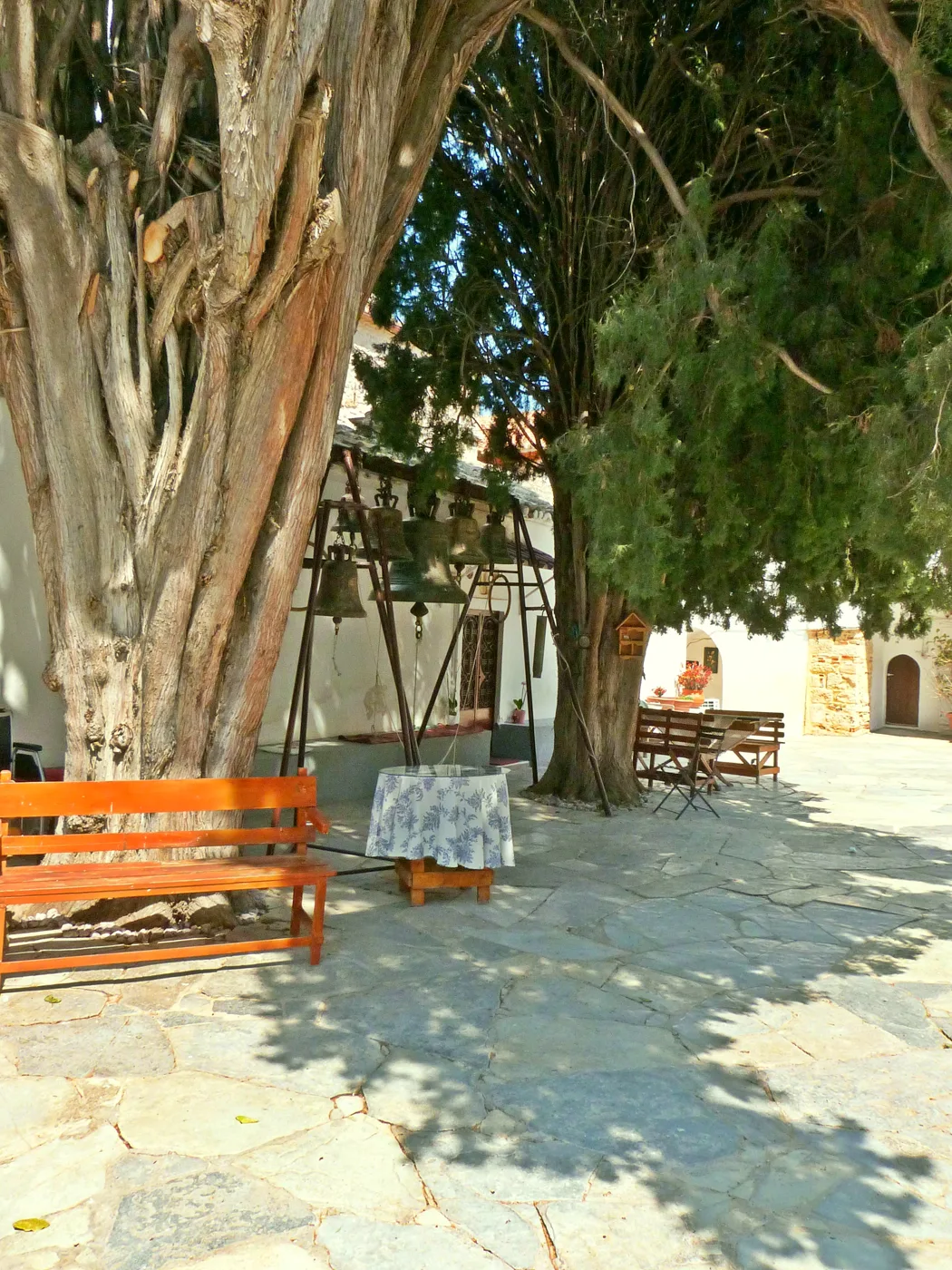
Cool and quiet.
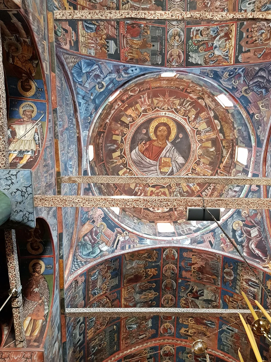
The frescoes of 1735.
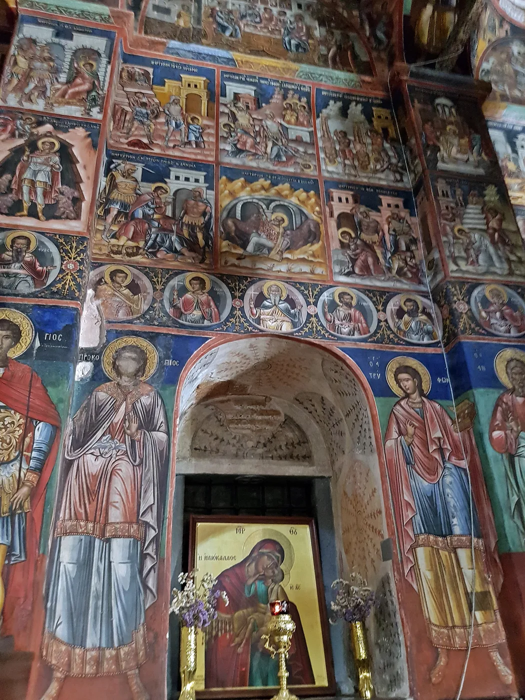
Thousands of figures, everywhere.
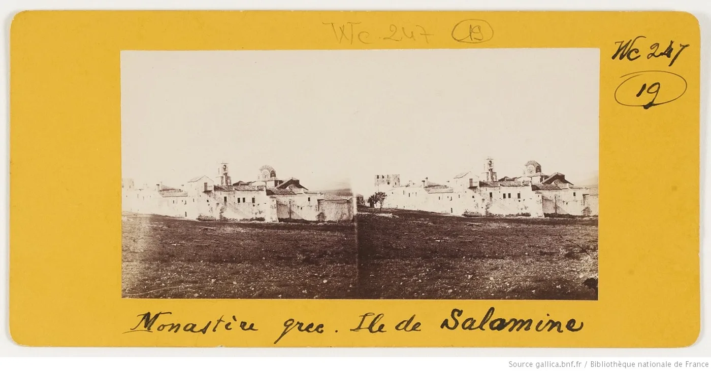
Faneromeni in an old photograph.
Photos: Ziegler175 (CC0), Léon Quinault (Public domain) · Wikimedia Commons
Faneromeni is a living monastery. Long trousers are required for men, skirts for women, and covered shoulders. Inside the church, ask before taking photos and keep your voice down.
🏛️ The south: Kanakia, Aianteio and the cave of Euripides
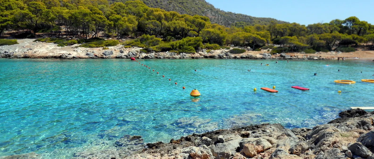
The south of Salamis is another island: pines down to the sea, olive groves, scattered houses and bays with clear water. Aianteio, named after Ajax, the Trojan War hero from Salamis, is a large bay with a beach and tavernas. Further west, Kanakia has the island’s most beautiful beach, with pebbles and turquoise water, and on the hill above a Mycenaean acropolis excavated by the University of Ioannina. Many archaeologists believe this was the seat of the kings of Salamis, Telamon and Ajax.
At Peristeria, on the slope above the bay, a path climbs to the cave of Euripides. The tragic poet, tradition says, was born on Salamis on the day of the battle, and came to this cave to write, away from the world. Excavations found traces of people from the Neolithic to Roman times, and among them a cup with his name incised on it. The climb is short, but take water and good shoes.
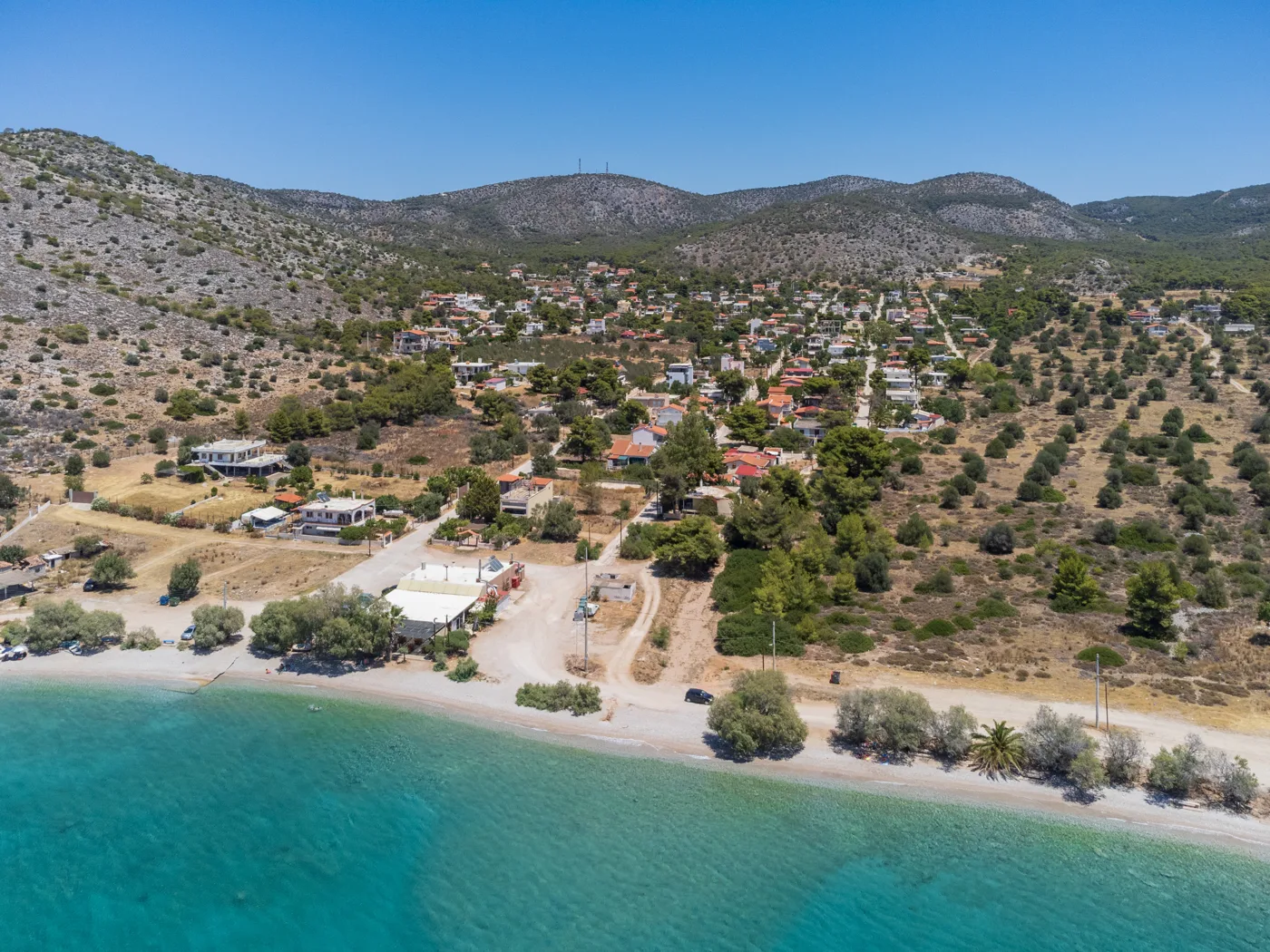
The most beautiful bay on the island.
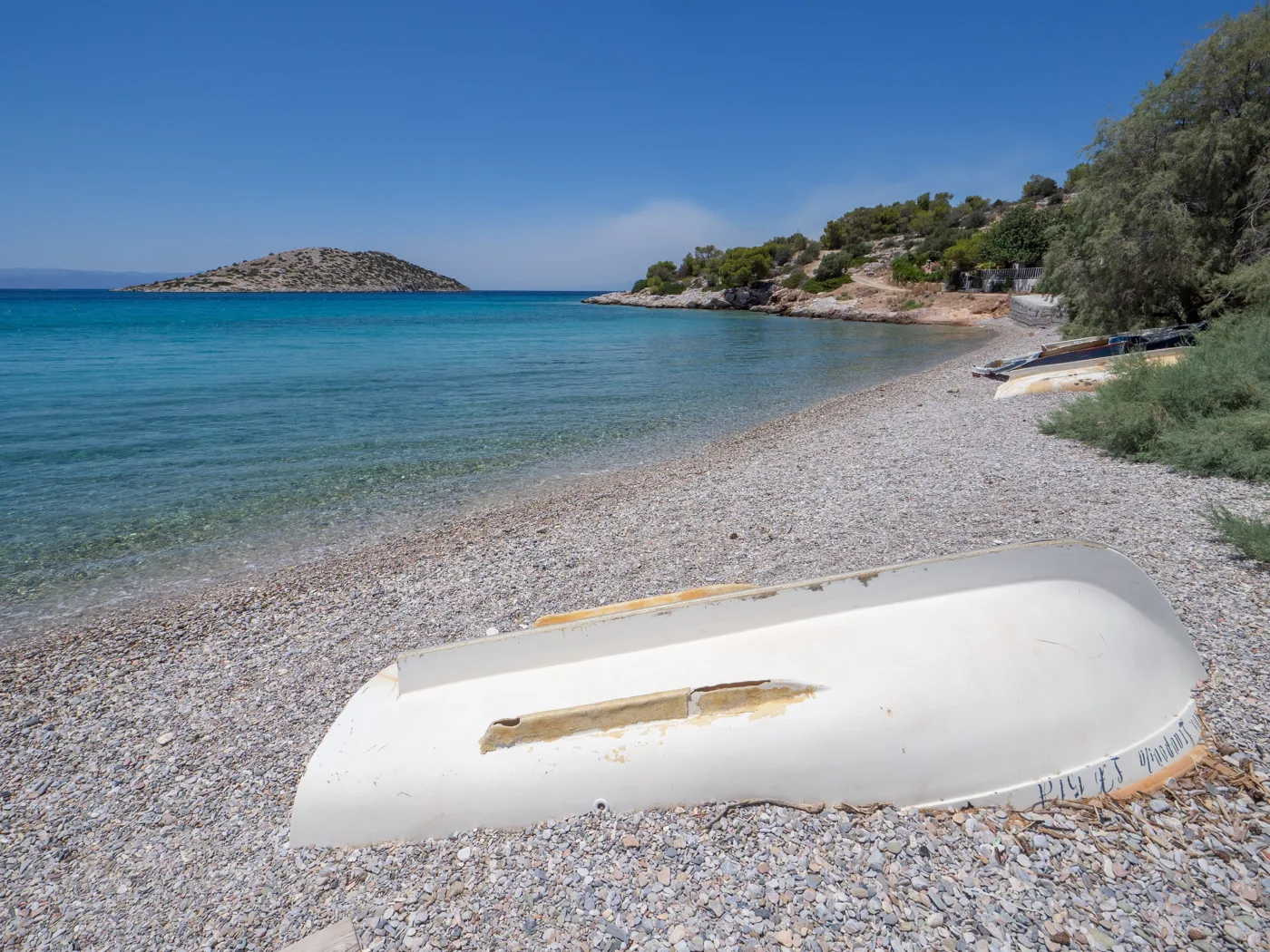
Pebbles and clear water.
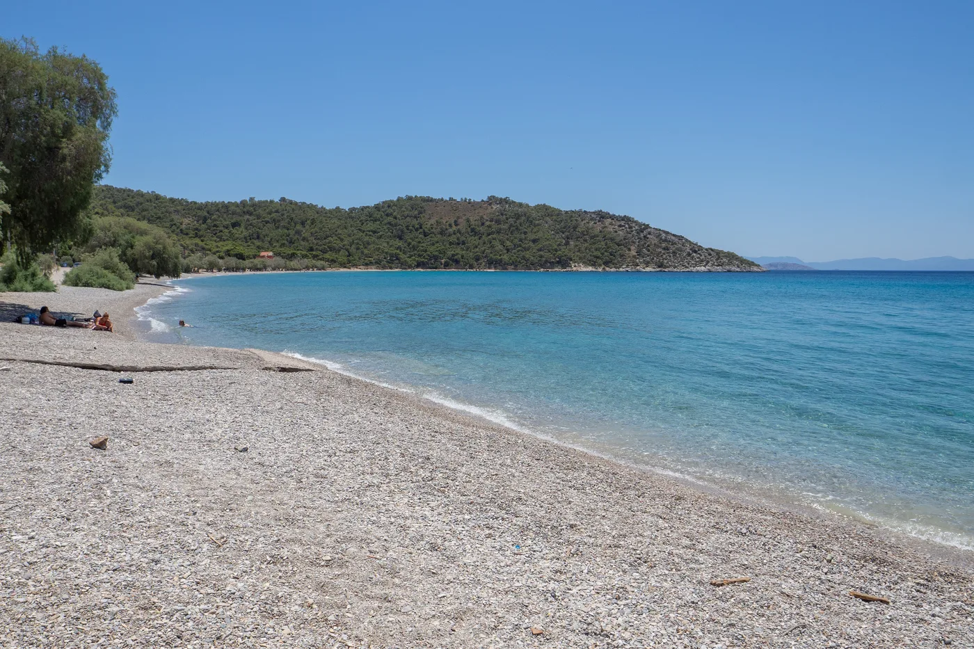
Open towards the Saronic Gulf.
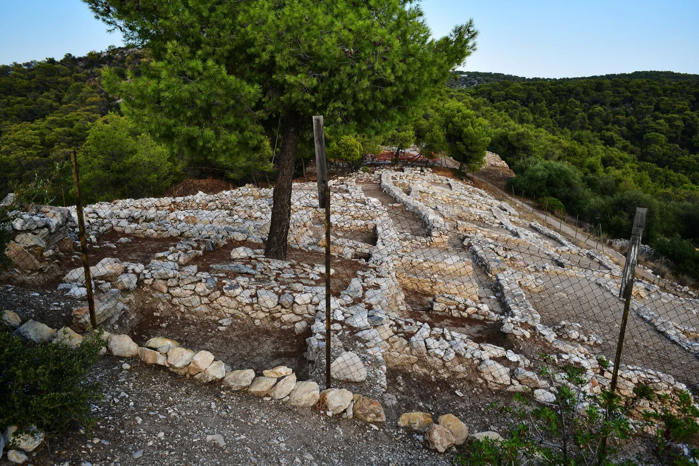
The Mycenaean buildings at Kanakia.
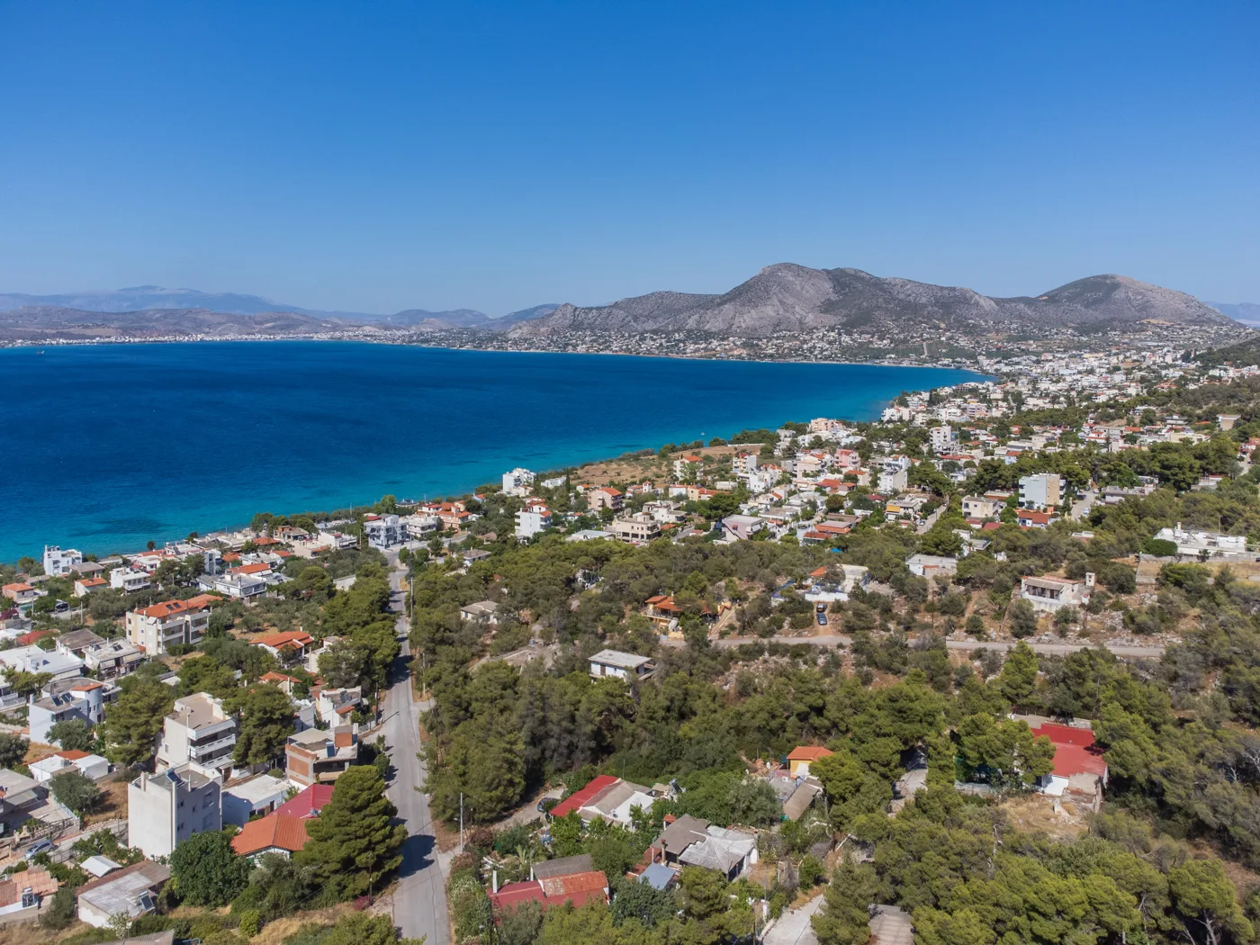
From above, out to the Saronic Gulf.
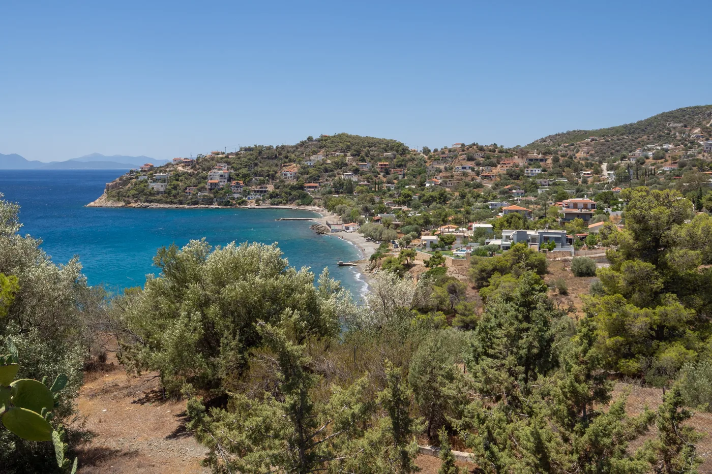
In the south, near the cave.
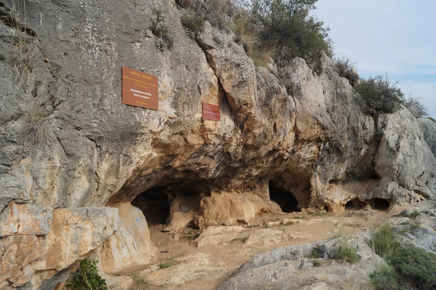
On the slope above Peristeria.
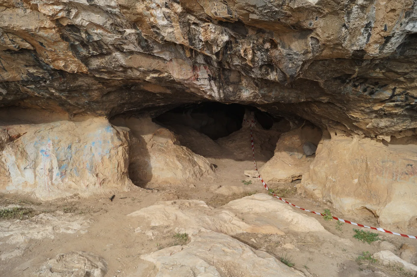
Here, tradition says, he wrote.
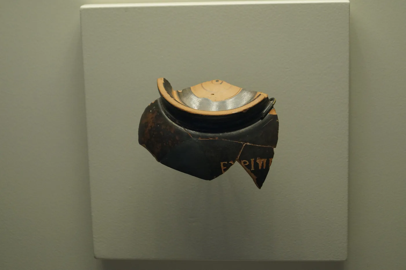
The cup with the name of Euripides.
Photos: C messier (CC BY-SA 4.0), C messier (CC BY-SA 3.0), Panegyrics of Granovetter (CC BY-SA 2.0), Schuppi (CC BY-SA 4.0) · Wikimedia Commons
The north is served by local buses, but for the south, Kanakia, Peristeria and Kaki Vigla, you need your own vehicle. Bring it over on the ferry from Perama, or rent one on the island.
🏖️ The beaches
Don’t expect the beaches of the Cyclades. The north, with the port and the shipyards, is not for swimming. The south, however, has clear water and pines down to the shore, and on weekdays you will find beaches almost empty. Selinia, an old Athenian summer resort with villas from the last century, has a small bay with a sandy beach and fish tavernas. Kaki Vigla, at the south-eastern tip, is the locals’ favourite, with pines that reach the water.
- Kanakia: pebbles, turquoise water and the acropolis above.
- Kaki Vigla: pines down to the sea, clear water.
- Selinia: a small bay, sandy beach and fish tavernas.
- Aianteio: a large bay with tavernas, for families.
- Peristeria: a quiet bay, below the cave.
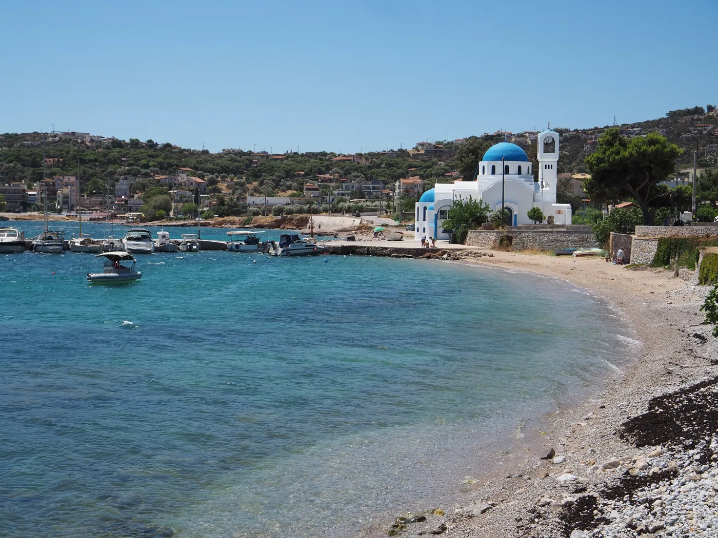
The old Athenian summer resort.
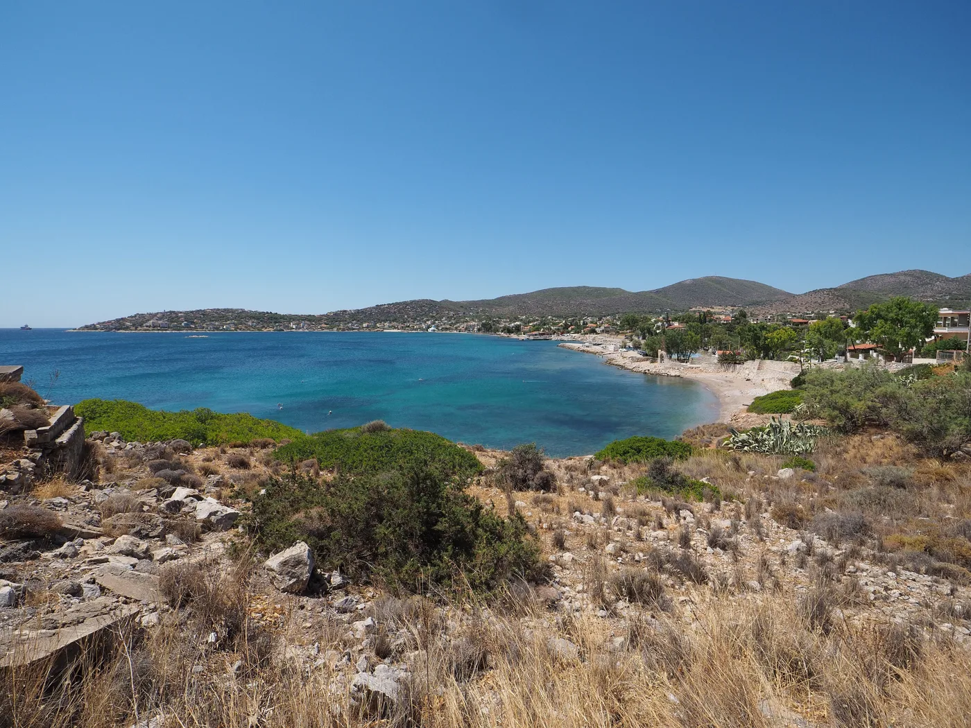
From the hill.
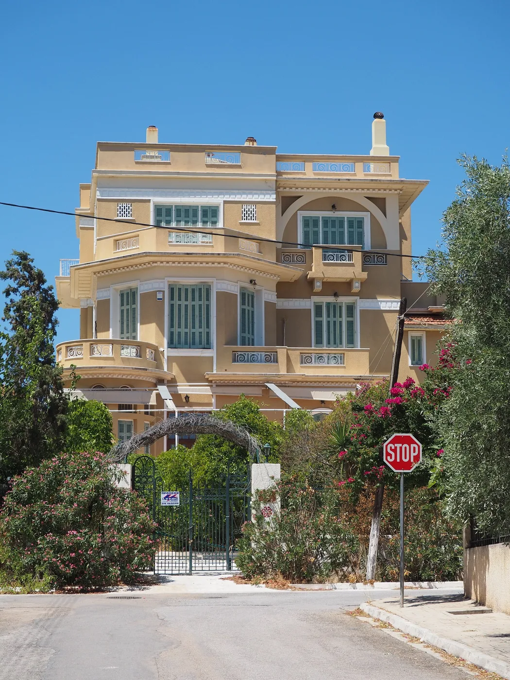
At Selinia.
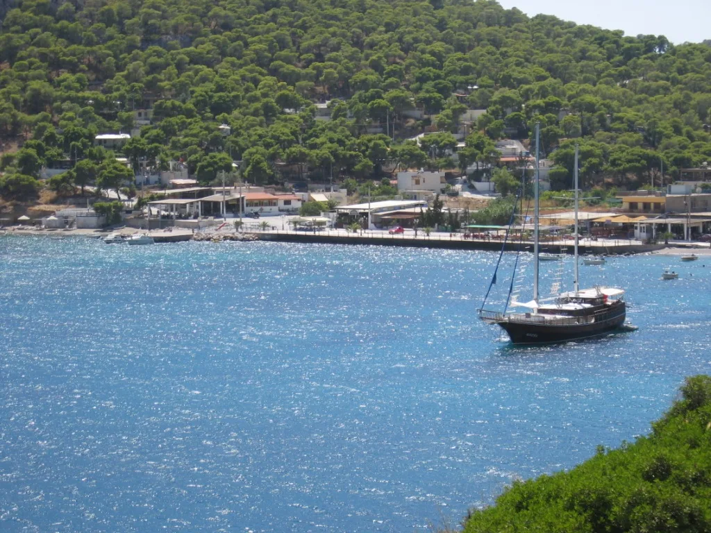
Pines down to the sea.
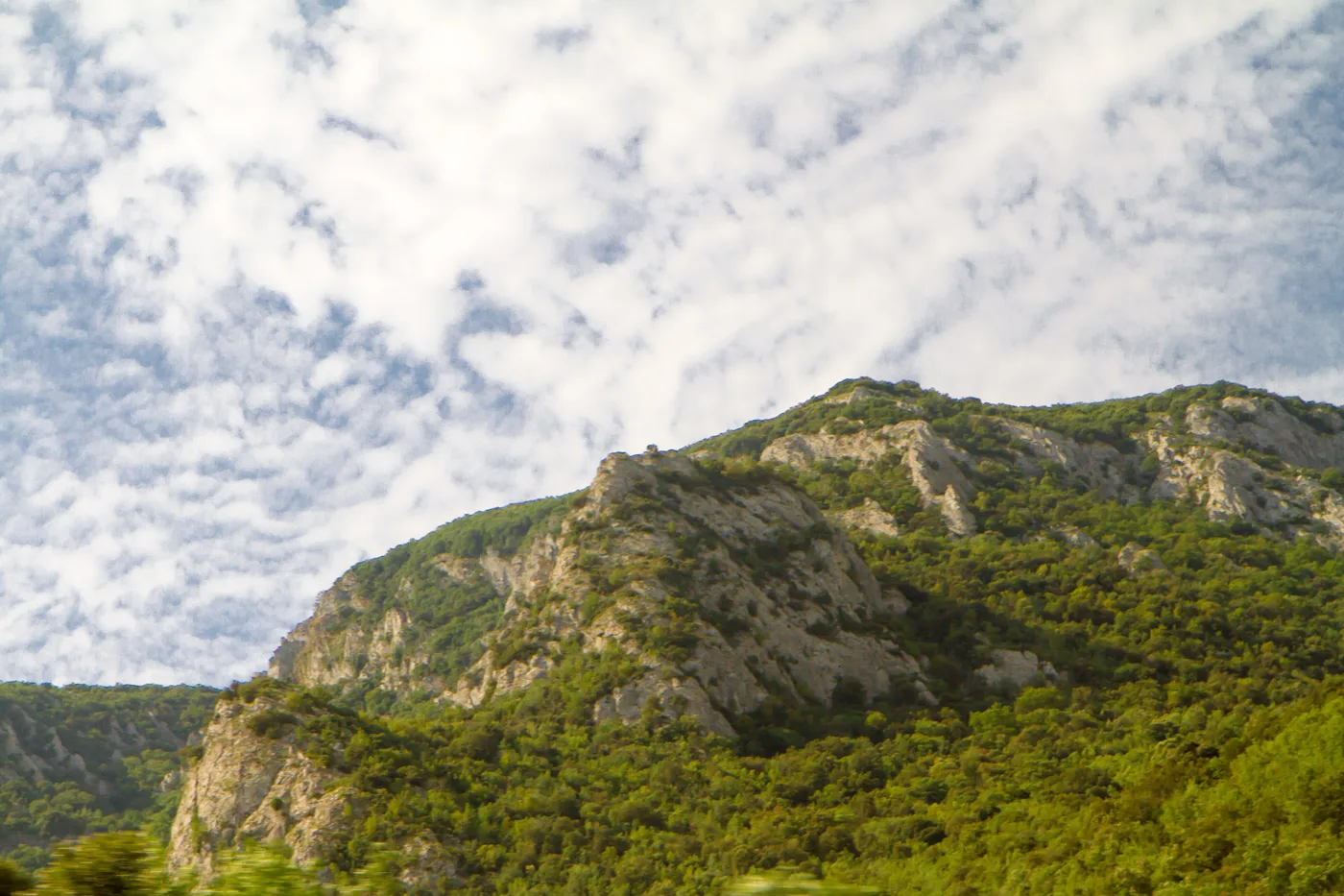
Pines all over the south.
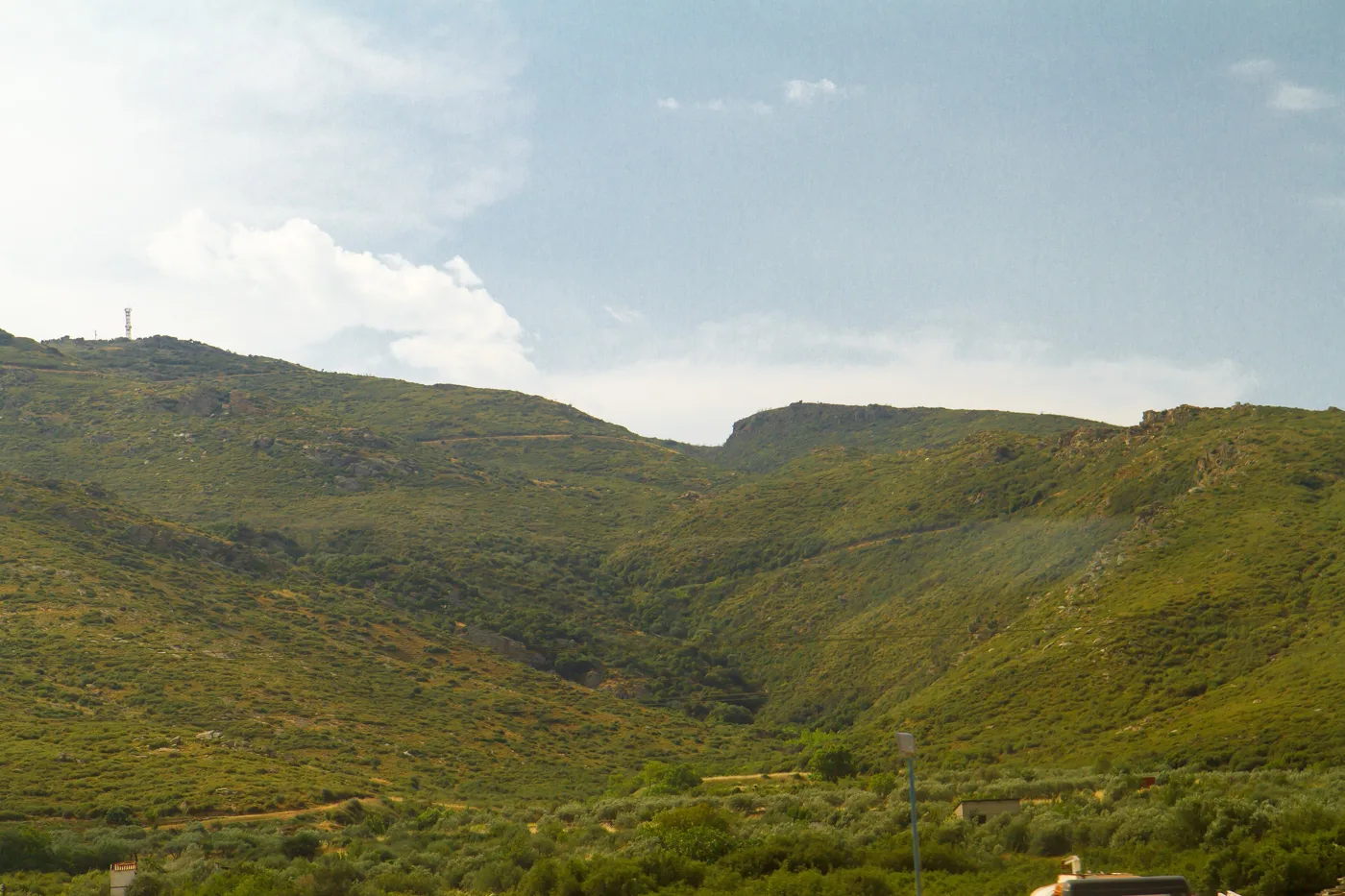
In the interior of the island.
Photos: C messier (CC BY-SA 3.0), C messier (CC BY-SA 4.0), Papatrexas (Public domain), Максим Улитин (CC BY 3.0) · Wikimedia Commons
🍽️ What to eat
Salamis is an island of fishermen, and fish and seafood are the reason many Athenians cross over to eat. At Selinia, Aianteio, Kanakia and Ampelakia you will find fish tavernas right by the water, with fresh fish, octopus, squid and sardines, at prices far lower than on the Aegean islands. Ask for kakavia, the fishermen’s fish soup, and a wine from the vineyards of Attica.
📅 When to go
Salamis is for all year round: the ferry never stops and the island lives winter and summer. For swimming, June and September are the best months, before and after the August crowds. For Faneromeni and the cave, spring and autumn are ideal, with cool air and green pines. Avoid summer Sundays, when the queues at the ferry get long.
⛴️ How to get there from Athens
| How | Duration | From | Notes |
|---|---|---|---|
| Perama ferry | About 15 minutes | Perama → Paloukia | Around the clock, every few minutes. Takes cars too. |
| Nea Peramos ferry | A few minutes | Nea Peramos → Faneromeni | For those coming from the west, close to the monastery. |
| Metro, bus and ferry | About 1 hour 15 minutes | Ioulianou 50 → Piraeus → Perama | The cheapest way without a car. |
From Ioulianou 50 take Line 1 to Piraeus and from there bus 843 to the Perama ferry. On the island, local buses leave from Paloukia for the town and the villages, but for the south you need a car or scooter. For the other islands of the gulf, see our guide to the Argosaronic islands.
🗓️ Two days on Salamis
The battle and Faneromeni
The ferry from Perama in the morning, with the straits of the battle around you. A walk at Ampelakia, where the ancient city stood, and then the small Archaeological Museum in town. At midday the Monastery of Faneromeni, for the frescoes, and fish at Selinia before you head back.
The south and the cave
By car to the south: the acropolis and the beach at Kanakia, the cave of Euripides above Peristeria, and a swim at Kaki Vigla, among the pines. Come back via Aianteio for the sunset.
Frequently asked questions
Is a day trip to Salamis worth it?
Yes, if you are interested in history or want a quick escape from Athens. In one day you can fit in the straits of the battle, Ampelakia, Faneromeni and a swim with fish at Selinia or Kanakia.
Where was the battle of Salamis fought?
In the straits between Salamis and the coast of Attica, opposite Perama, in front of Ampelakia and the Kynosoura peninsula. The ferry from Perama passes right through it.
Do I need a car?
For the town, Ampelakia and Selinia, no, buses and taxis are enough. For the south, Kanakia, the cave of Euripides and Kaki Vigla, yes. Bring your own on the ferry or rent one on the island.
Are there clean beaches?
Yes, in the south. Kanakia, Kaki Vigla and Peristeria have clear water and pines. Avoid the shores of the north, near the port and the shipyards.
— Kathy