🪪 The island at a glance
📍 Where it is
Tilos lies in the Dodecanese, between Rhodes and Nisyros. Ferries from Piraeus take 12 to 15 hours, so most people fly to Rhodes and continue by catamaran or ferry, in about one and a half to two hours. From Nisyros the trip takes less than an hour.
📍 Where Tilos is
Tilos lies in the Dodecanese, between Rhodes and Nisyros, close to the Turkish coast. The island is shown in red, and in green Piraeus, Rhodes and Nisyros, where the boats come from.
🗺️ The map of the island
Tilos is mountainous, with bare peaks, small plains and deep bays. The harbour, Livadia, is on the east coast, and a road passes Mikro Chorio to reach Megalo Chorio, the capital, and from there the west coast. Many beaches and settlements can only be reached on foot, along the old footpaths.
🗺️ Map of Tilos
Tilos is long and mountainous. The harbour, Livadia, is on the east coast, with Mikro Chorio and the Charkadio cave above it. In the middle are Megalo Chorio with its castle and Eristos, and to the west Agios Antonios, Plaka and the monastery of Agios Panteleimonas. Lethra, Gera and Agios Sergios are reached by footpath. Tap each number to see what it is.
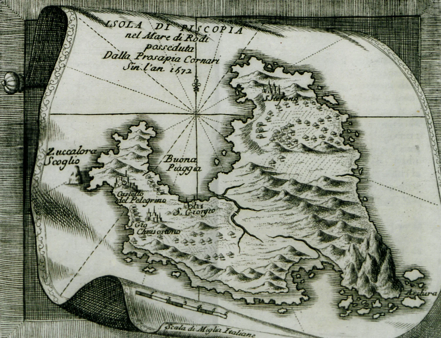
Map: Vincenzo Coronelli (Public domain) · Wikimedia Commons
⚖️ Is it worth it? The pros and cons
Tilos is for people who want nature, walking and peace. Here is an honest picture.
📊 At a glance, from 1 to 5
👍 The pros
- Dozens of marked footpaths, among the best in the Dodecanese.
- Mikro Chorio, a ghost village full of atmosphere.
- The dwarf elephants, a rare tale from prehistory.
- Protected nature, birds and quiet.
- Friendly locals and a slow pace.
👎 The cons
- A very long trip from Piraeus.
- Few ferries, especially outside summer.
- Most beaches are pebbly.
- Heat and little shade in high summer.
⚓ Livadia
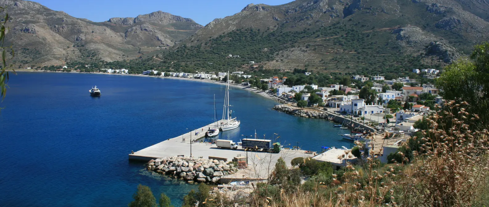
Livadia is the harbour and the biggest village, spread along a large bay with a pebble beach. On the waterfront you will find tavernas, cafés and most of the island’s rooms, and in the middle of the village the large church of Agios Nikolaos. In the evening the square fills up, and in the morning the sun rises behind the mountains opposite.
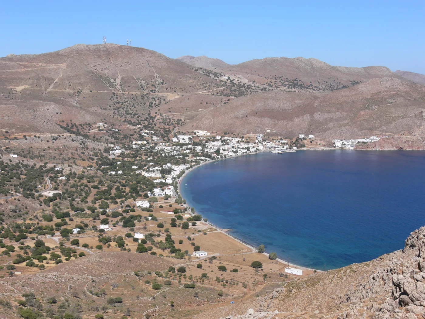
The harbour and the bay.
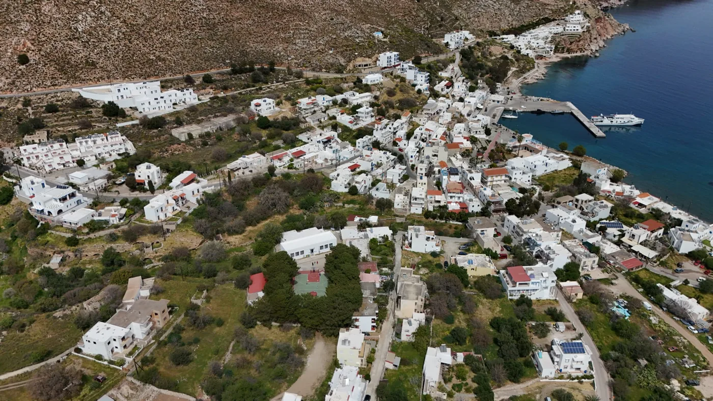
The village by the sea.
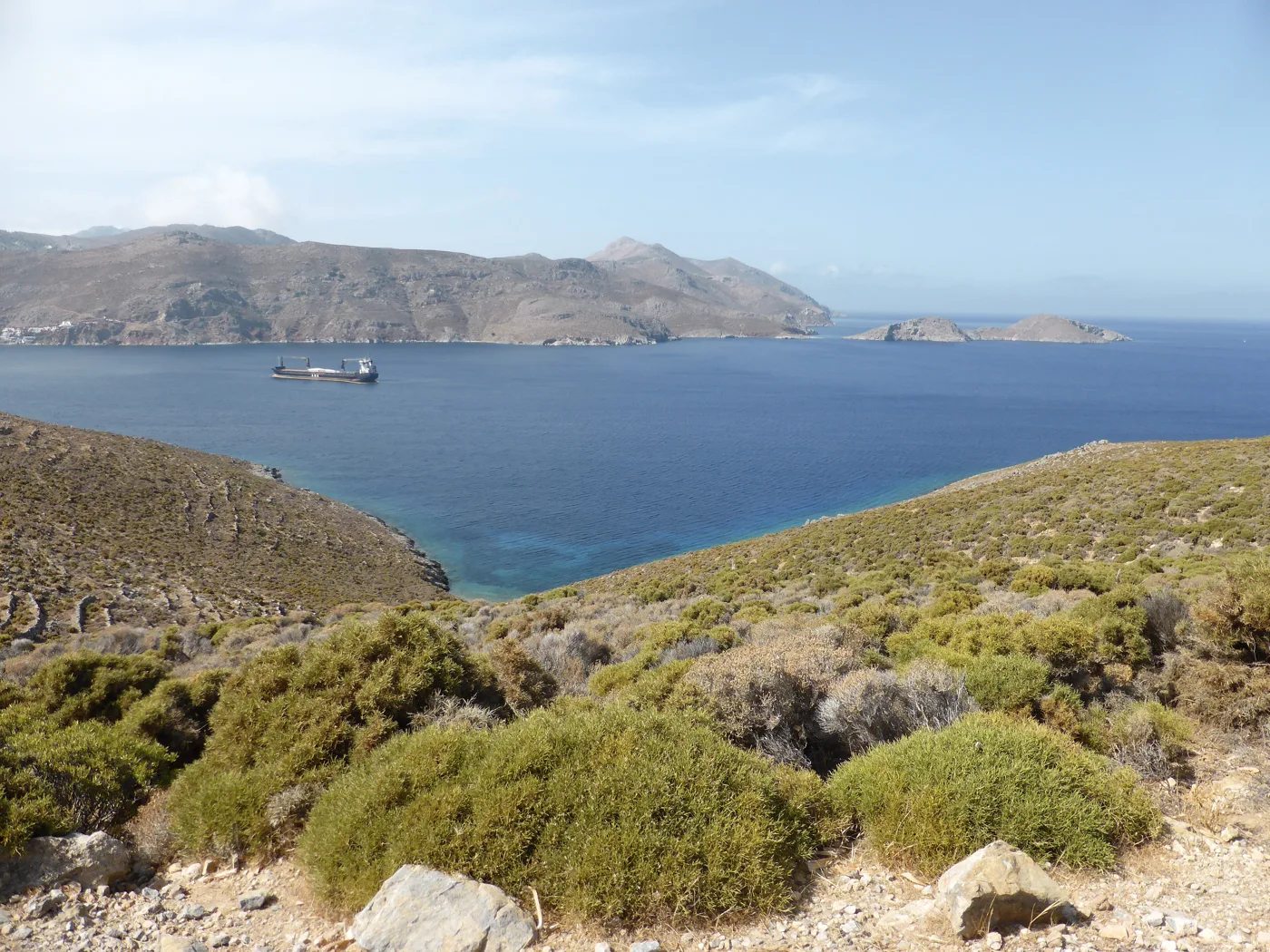
Islets on the horizon.
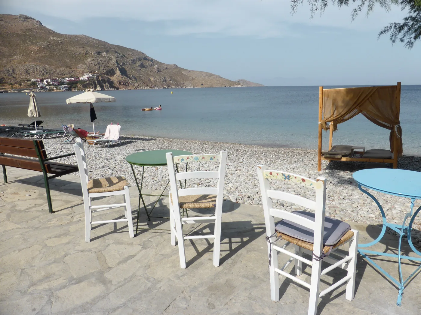
Food by the waves.
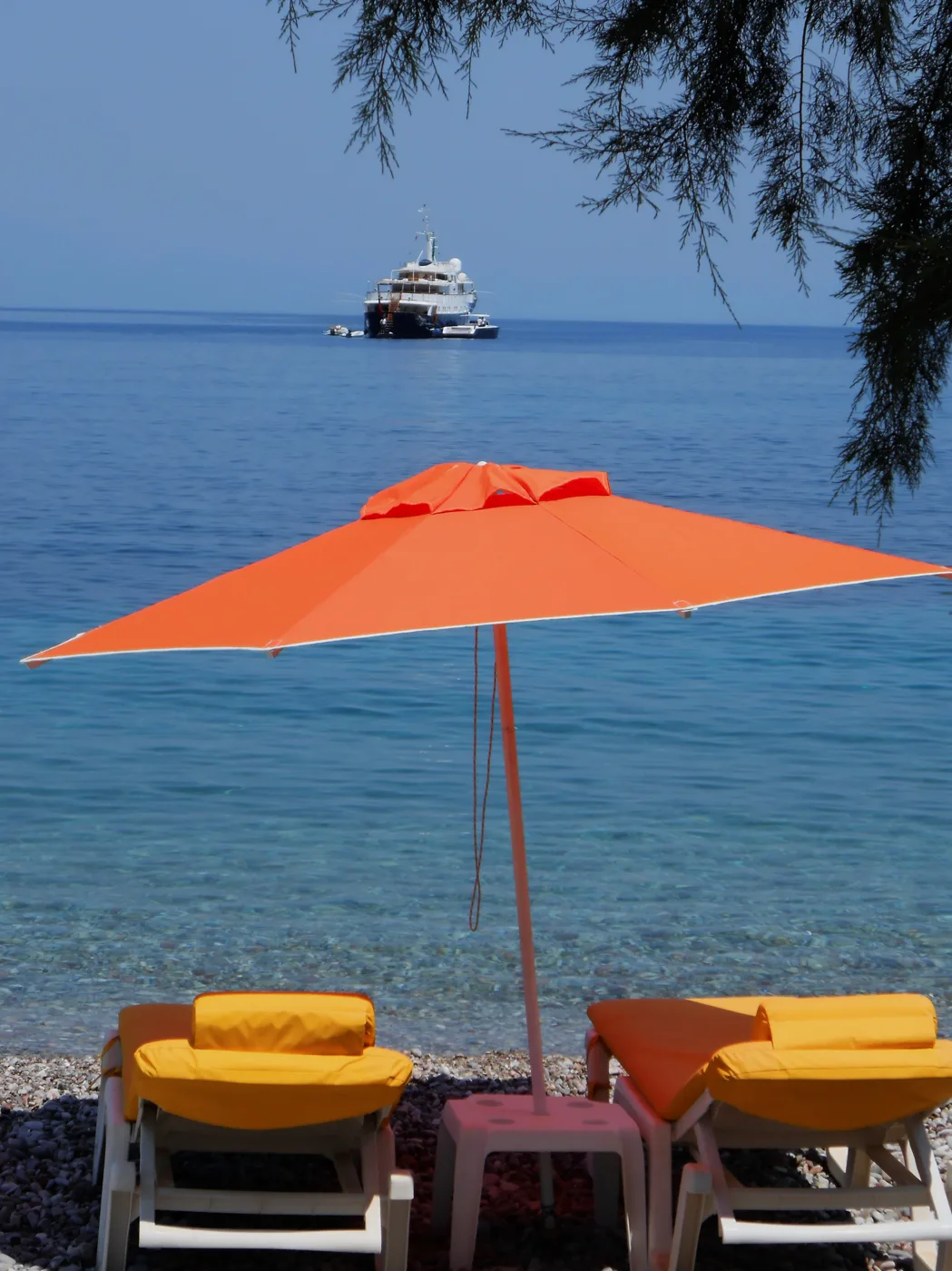
A swim in the village.
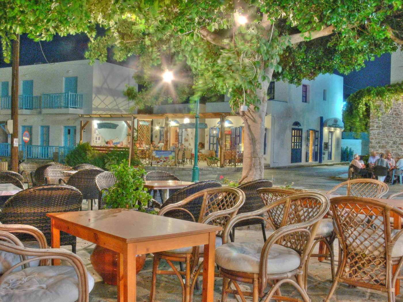
The evening meeting place.
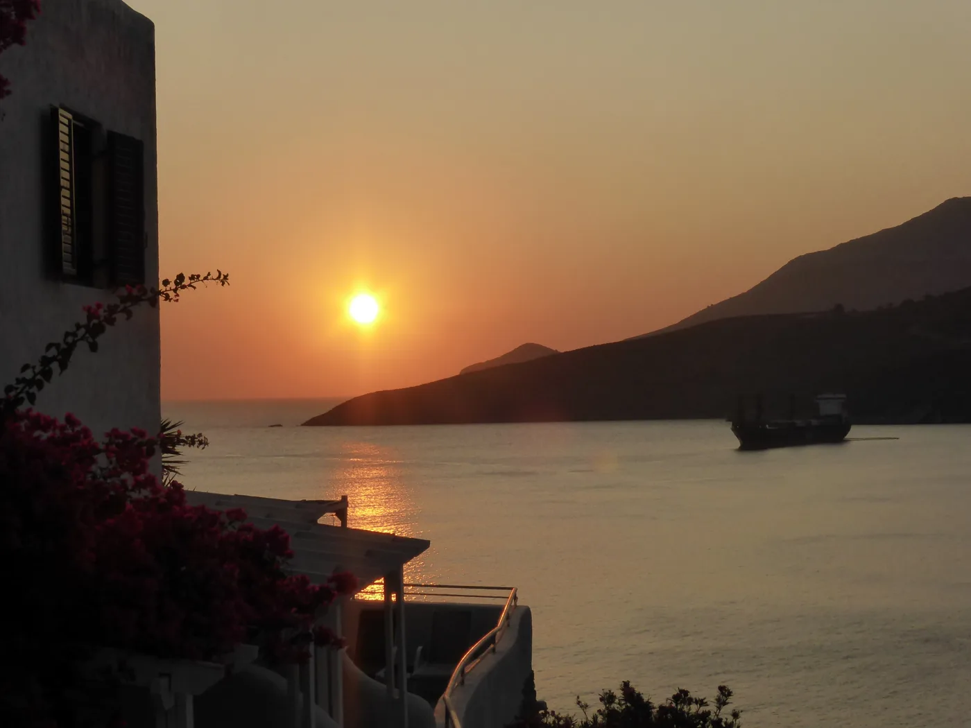
First light over the bay.
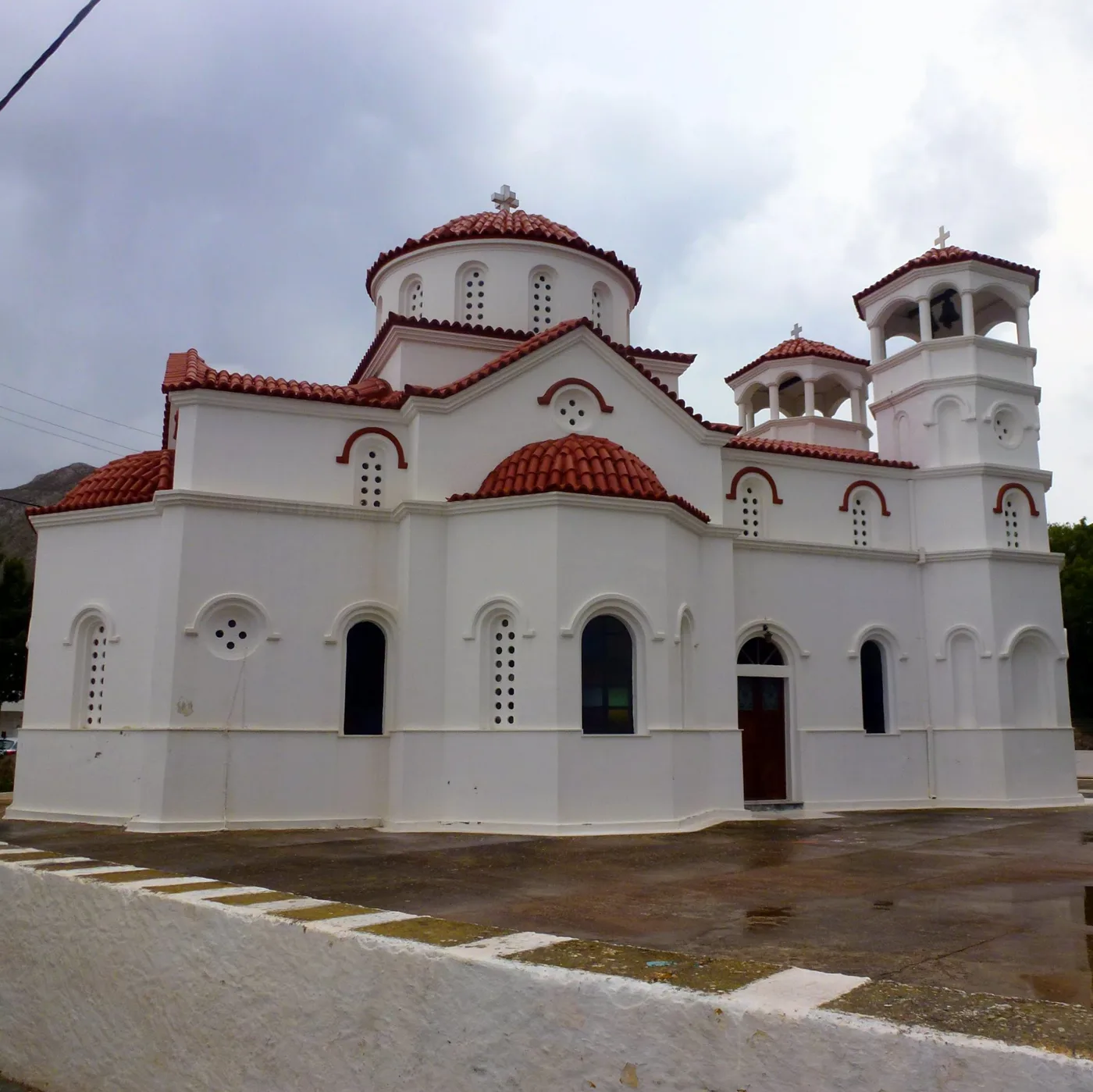
Agios Nikolaos in Livadia.
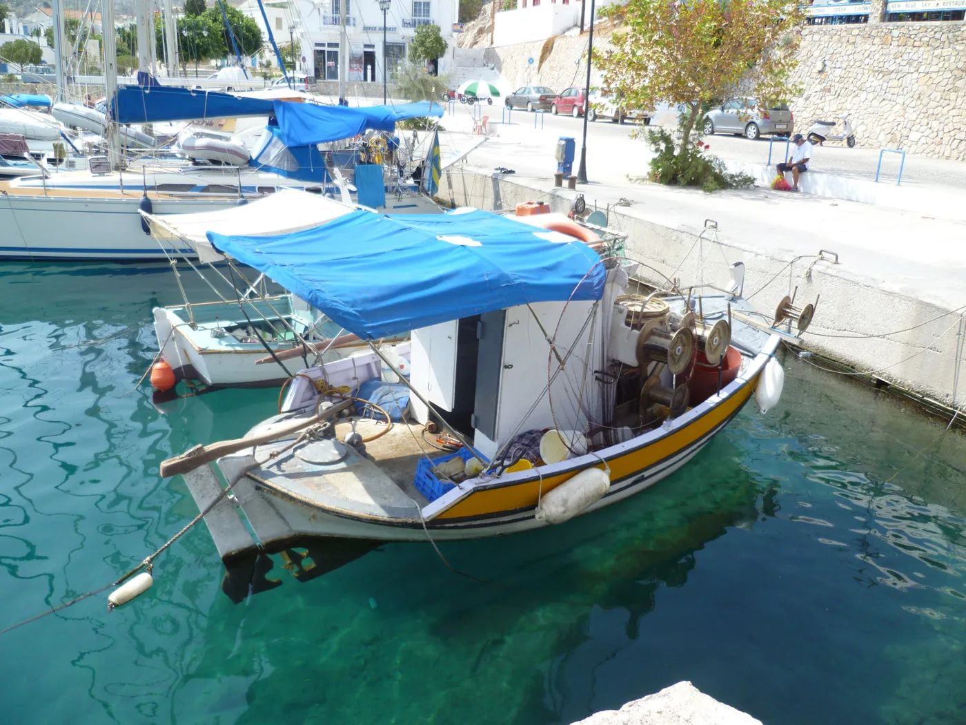
Fishing boats in the harbour.
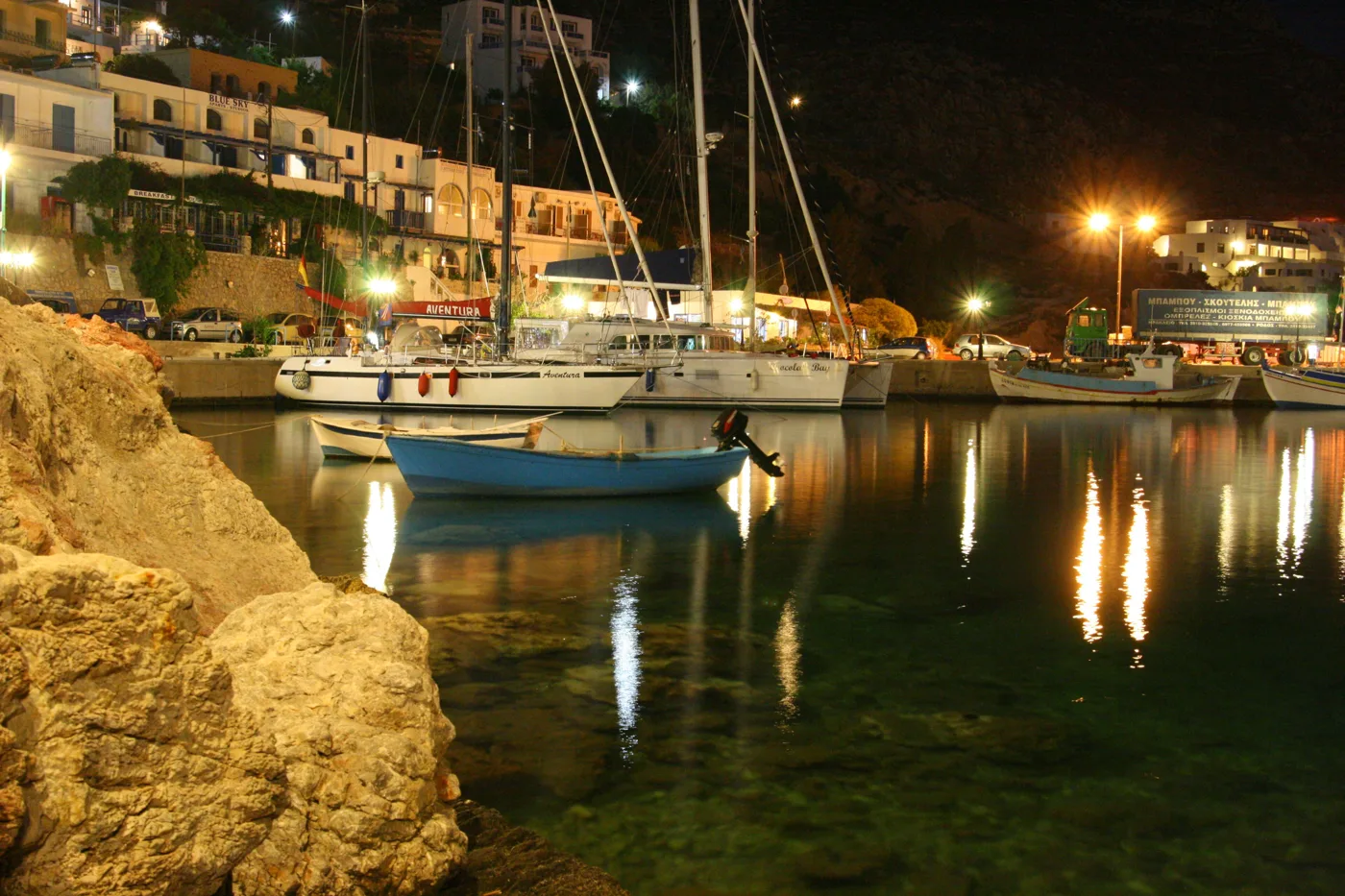
Lights in the harbour.
Photos: Pavlos11 (CC BY-SA 3.0), Chrischerf (CC BY-SA 4.0), Rosa-Maria Rinkl (CC BY-SA 4.0), Enpatrais (CC BY-SA 4.0), Nikolai Maksimovich (CC BY 3.0), U. Clemens (CC BY-SA 3.0 de) · Wikimedia Commons
🏰 Megalo Chorio and the castle
Megalo Chorio is the capital, built on the hillside below a rock. On top of the rock stands the castle of the Knights of Rhodes, on the site of the ancient acropolis of Tilos, and pieces of the ancient wall survive in the lanes. The church of the Taxiarchis has a carved wooden iconostasis and a pebble-mosaic courtyard. The climb to the castle takes about an hour, and the view from the top opens over the whole island.
Between the two villages, in the Charkadio cave, scientists found the bones of dwarf elephants, about one and a half metres tall, that lived on Tilos until around 4,000 years ago, among the last in Europe. The finds are on display in a small museum beside the road.
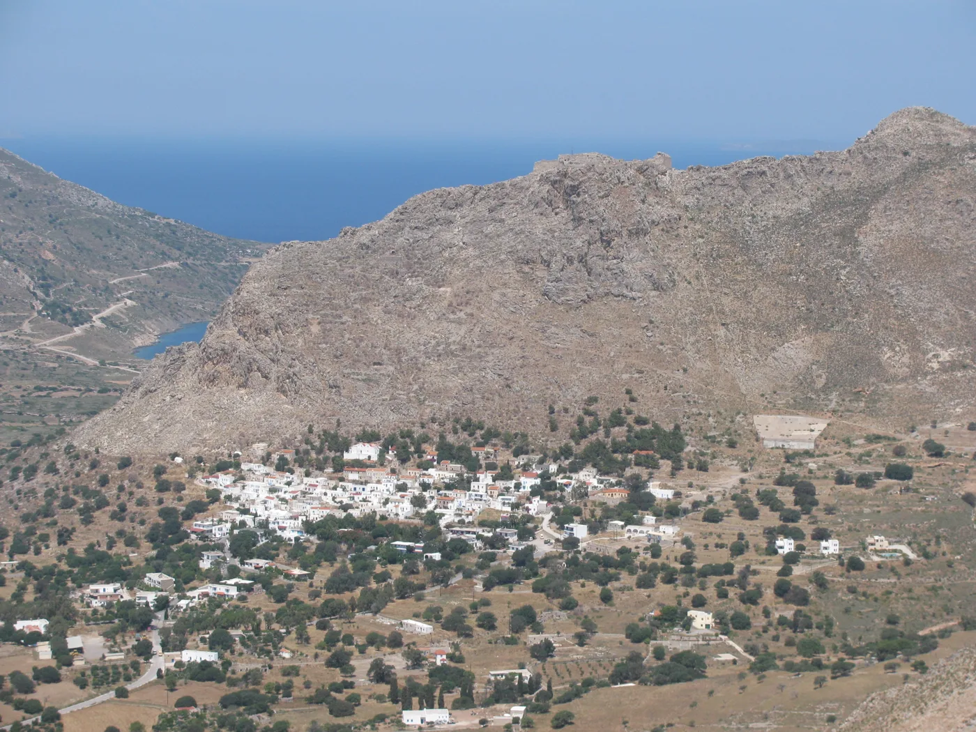
Below the castle.
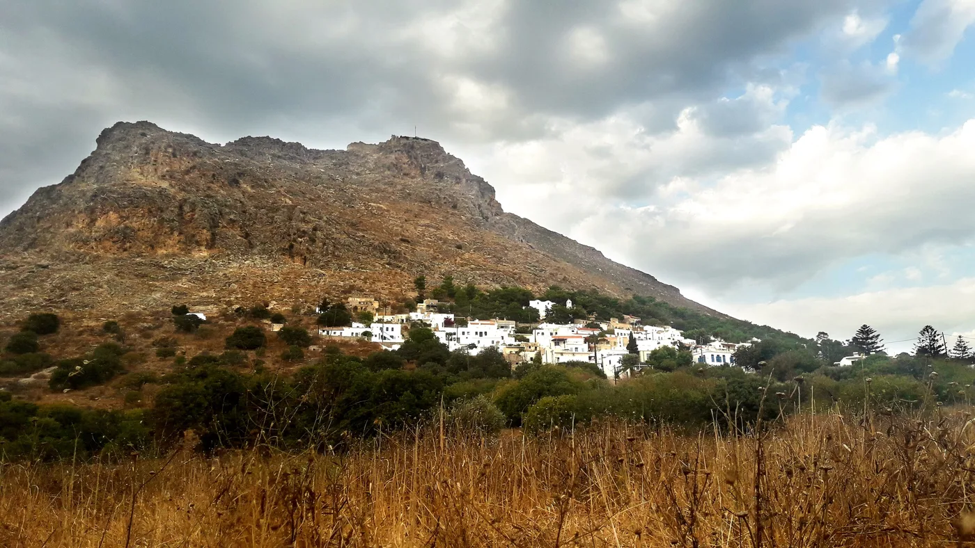
The castle on the summit.
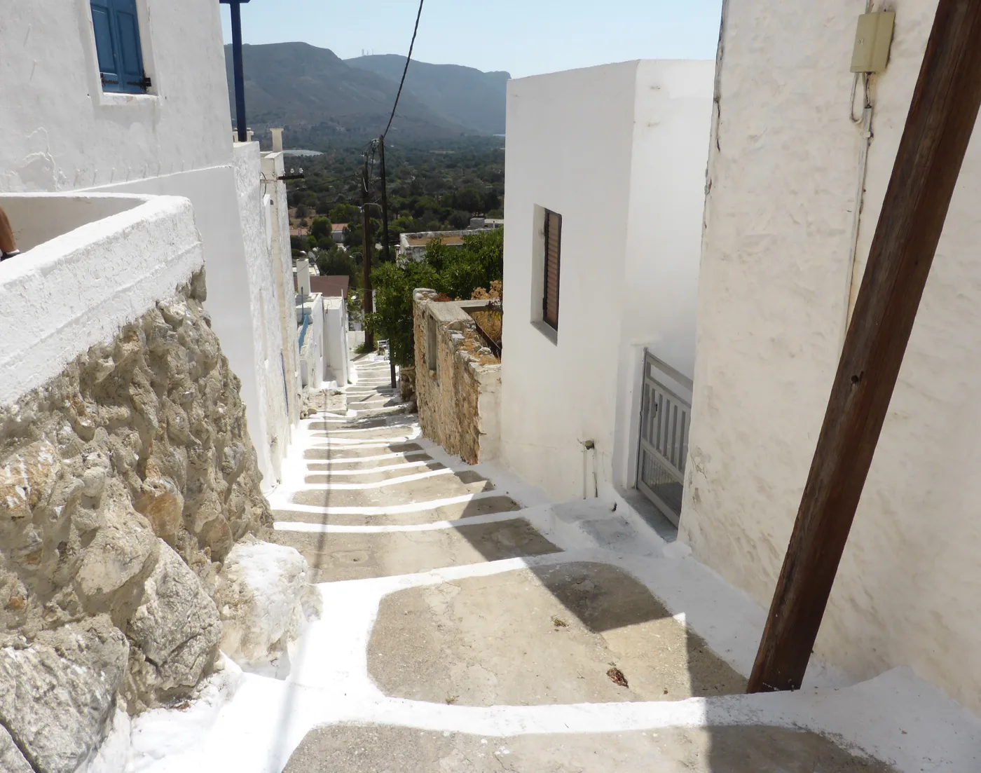
Steps and whitewash.
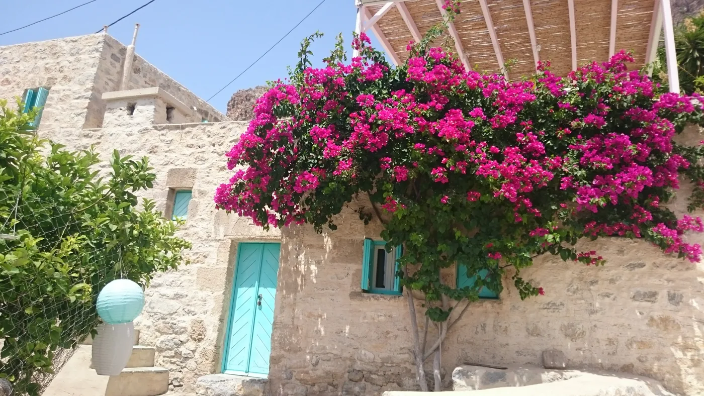
Colour on stone.
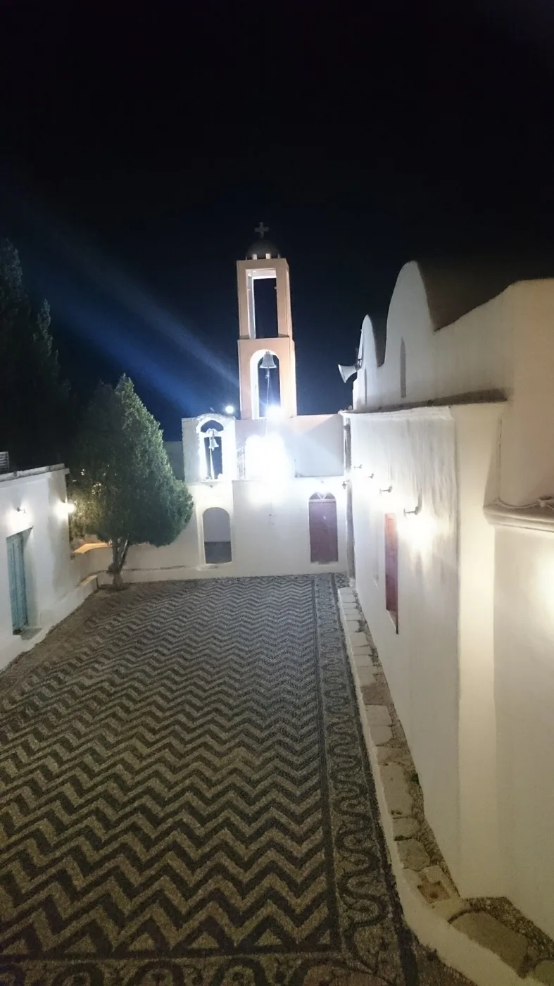
The village church.
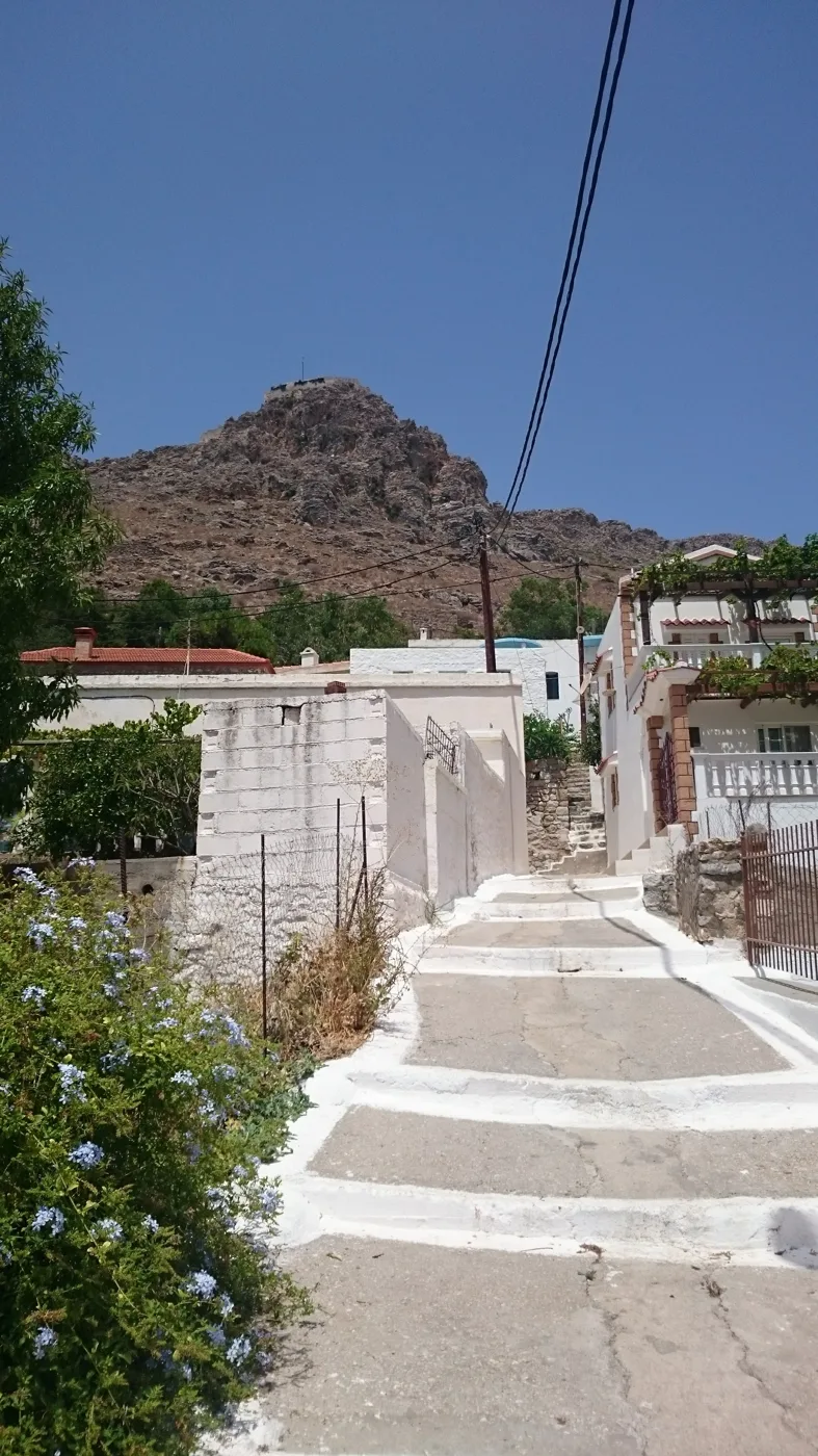
The climb begins.
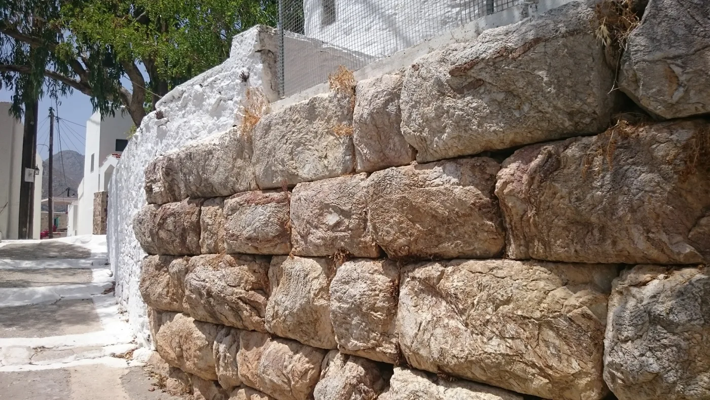
The ancient city of Tilos.
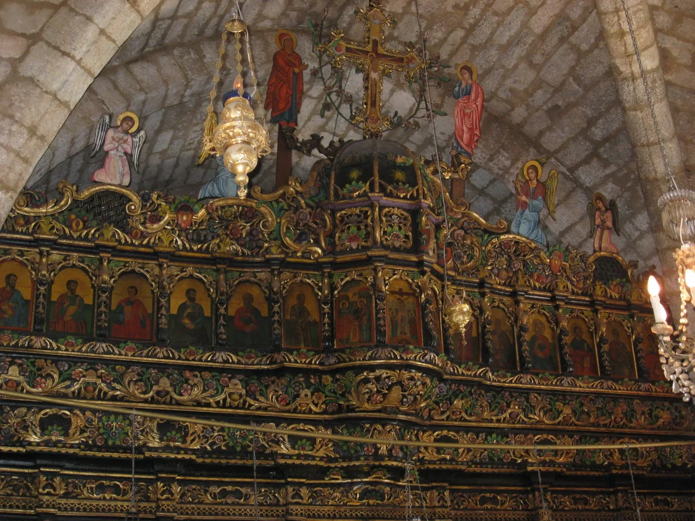
Carved wood and gold.
Photos: Spanos77 (Public domain), Athanasia Pastrikou (CC BY-SA 4.0), Rosa-Maria Rinkl (CC BY-SA 4.0), DORA Greece (CC BY-SA 4.0), Maksim Ulitin (CC BY 3.0) · Wikimedia Commons
🏚️ Mikro Chorio and Agios Panteleimonas
Above Livadia, Mikro Chorio is a ghost village: its people left it in the 20th century to live closer to the sea, and today the stone walls, the lanes and the white church remain. In the afternoon, in the golden light, it is one of the most atmospheric places in the Dodecanese, and in summer a bar opens there in the evenings.
On the west coast, the monastery of Agios Panteleimonas is built on the side of a cliff, among cypresses, plane trees and a spring. On its feast day, at the end of July, the biggest festival on the island takes place.
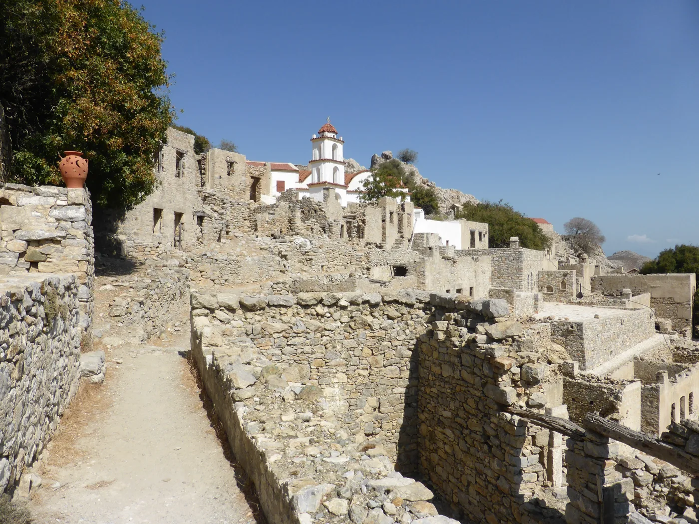
A ghost village.
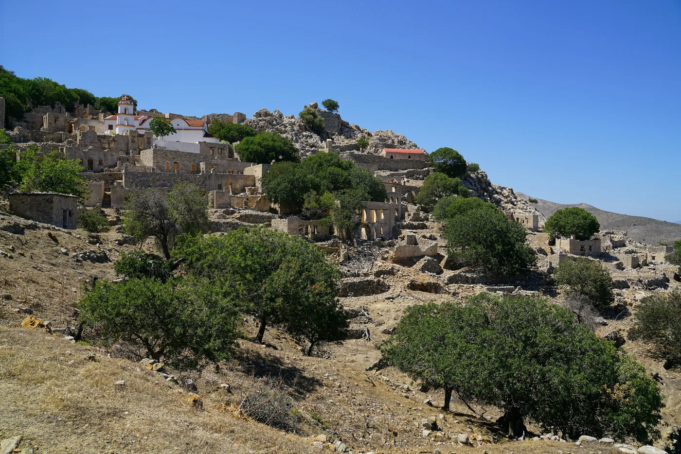
Houses without roofs.
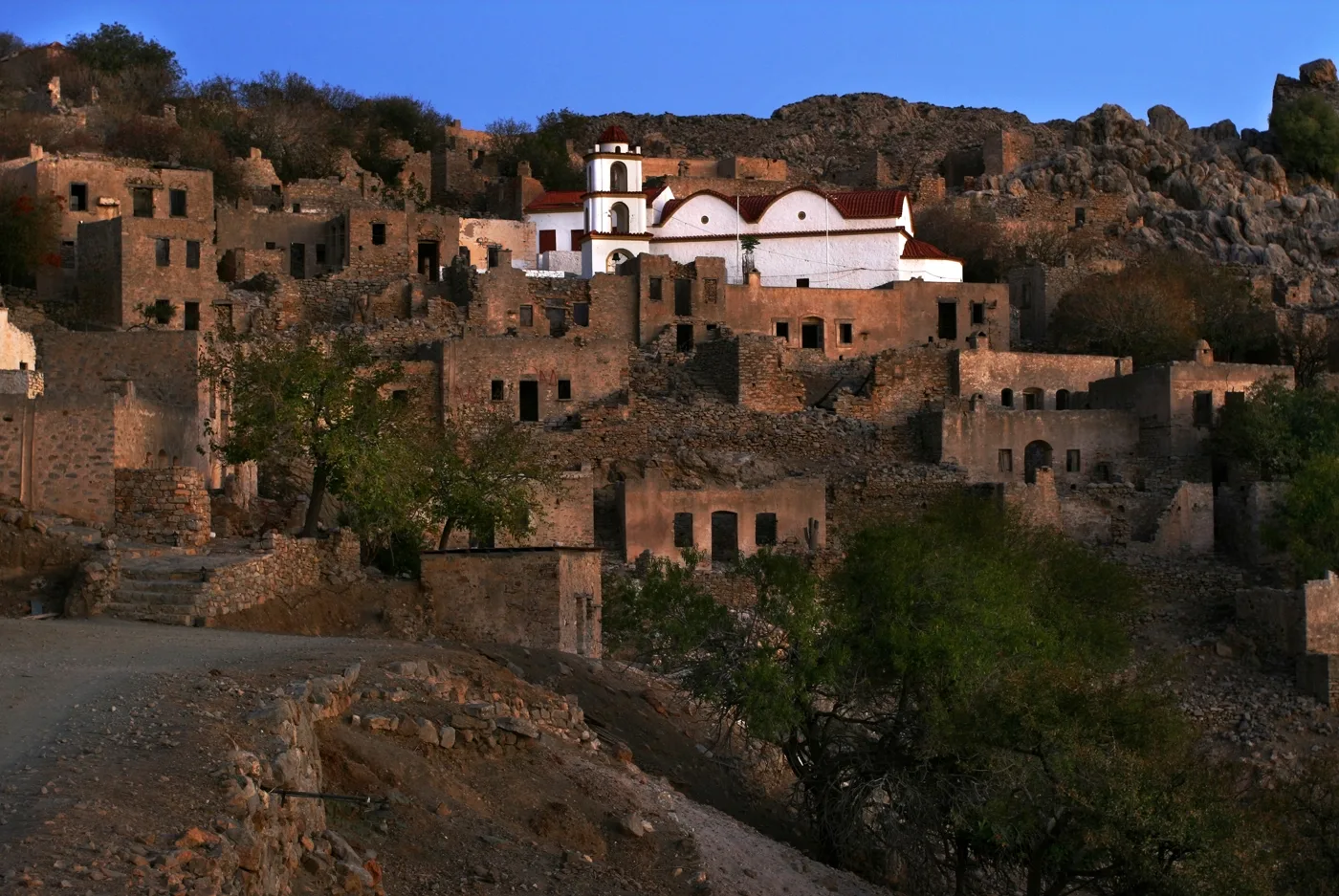
Golden stones.
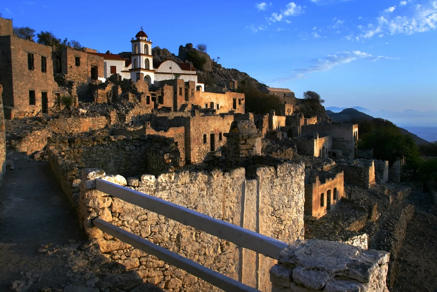
The church among the ruins.
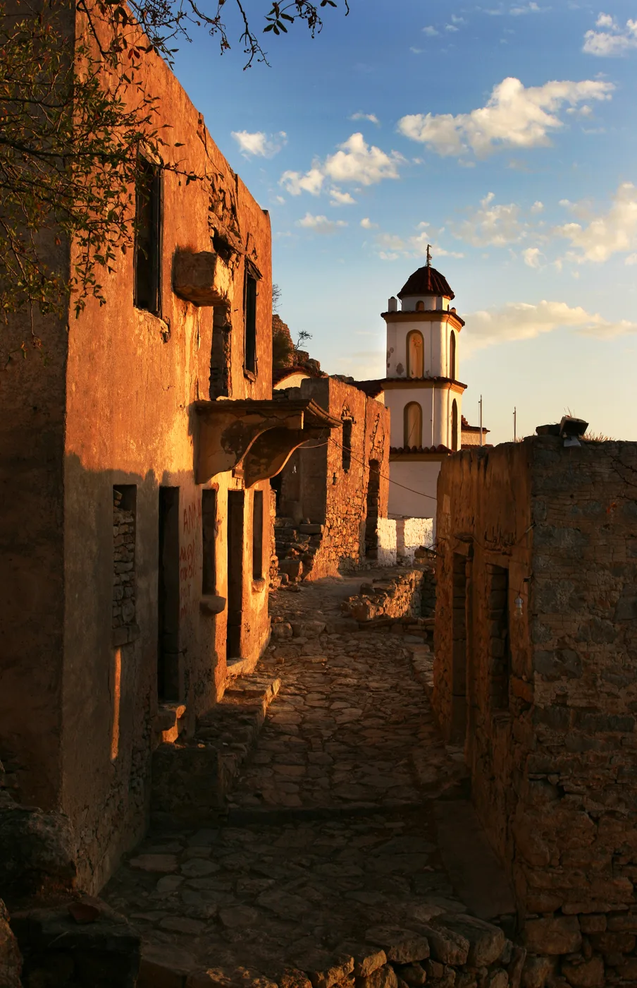
In the twilight.
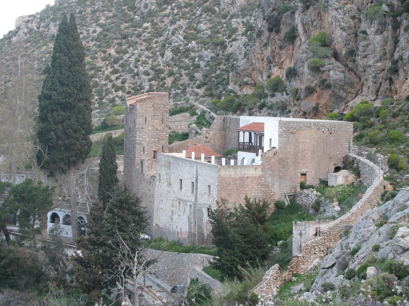
The monastery above the sea.
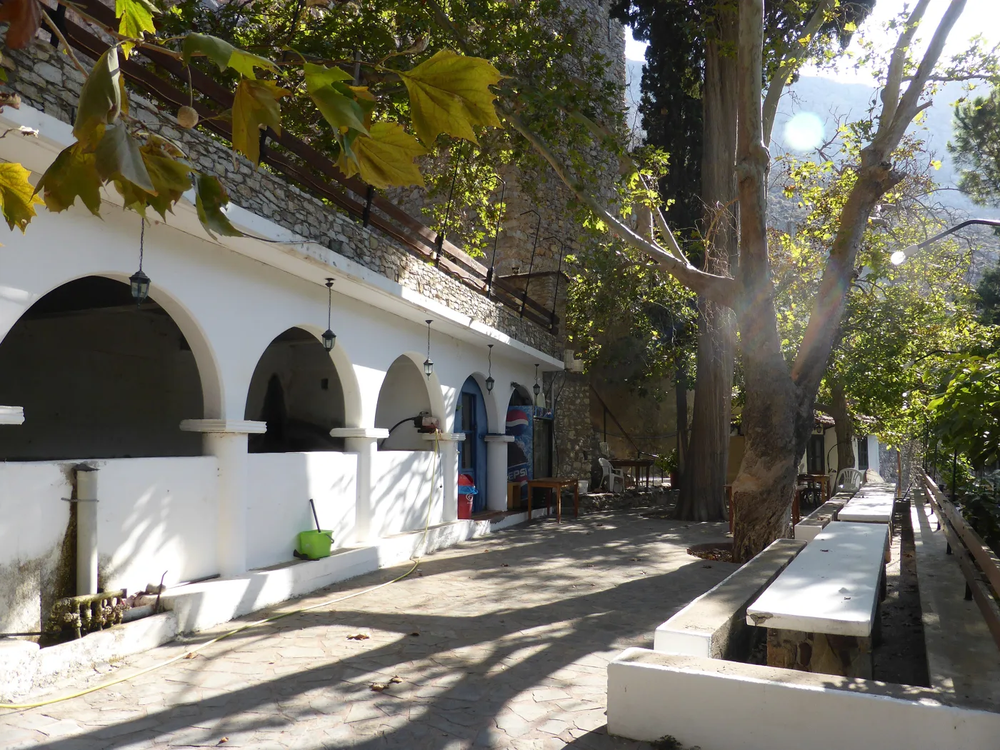
Shade under the plane trees.
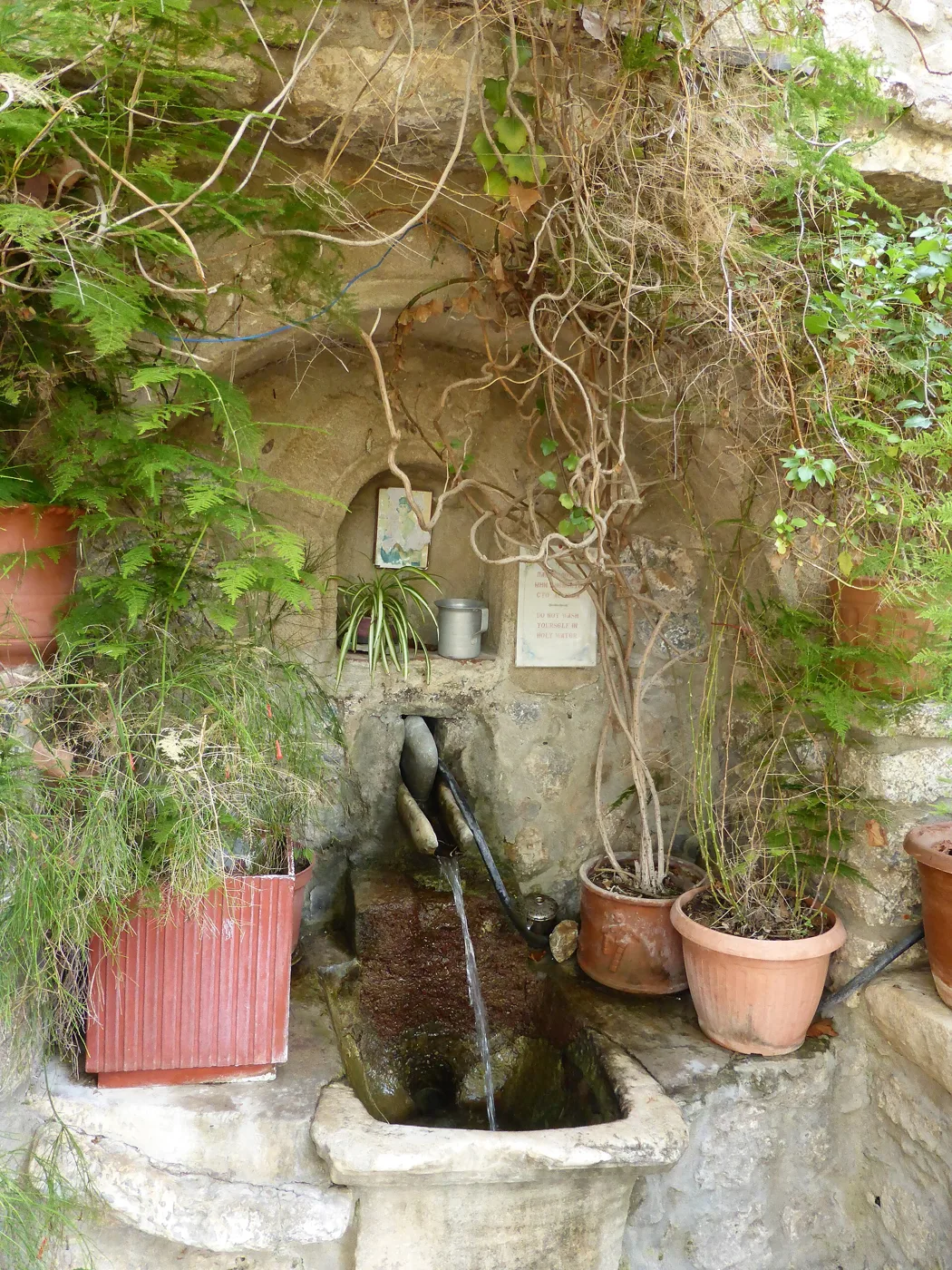
Water from the spring.
Photos: Rosa-Maria Rinkl (CC BY-SA 4.0), Redeemer (CC BY-SA 4.0), Nikos Laskaridis (CC BY-SA 4.0), Spanos77 (Public domain) · Wikimedia Commons
🏖️ The beaches
The beaches of Tilos are mostly pebbly with clear water. The biggest is Eristos, below Megalo Chorio, with sand, pebbles and tamarisks. In Livadia the beach is in the village itself. To the west, Plaka is quiet, near Agios Antonios, a small fishing harbour. On foot you can reach Lethra, Skafi and Agios Sergios.
- Livadia: pebbles in the village, with tavernas.
- Eristos: the biggest beach, with tamarisks.
- Plaka: quiet beach on the west coast.
- Lethra and Skafi: wild coves, reached on foot.
- Agios Sergios: pebbles and clear water in the south.
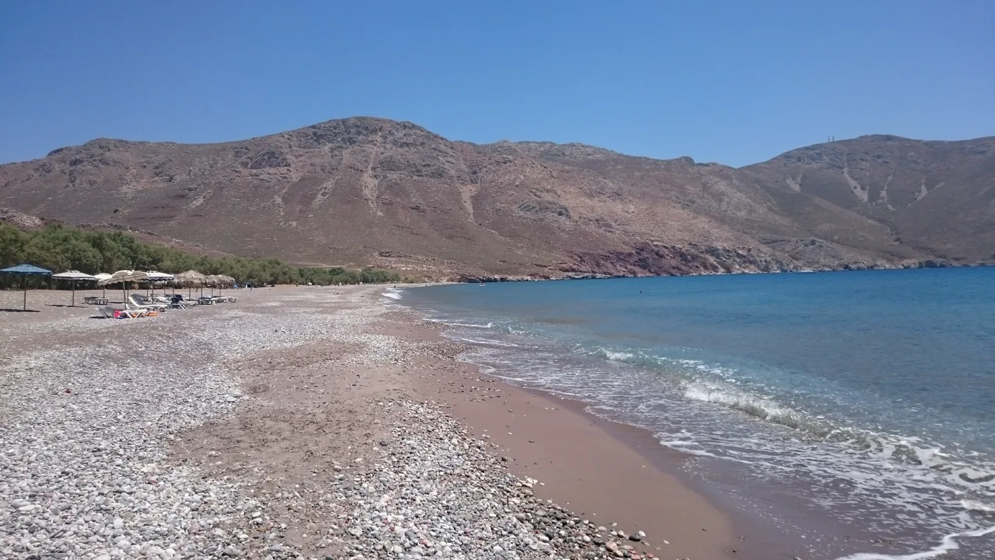
The largest beach.
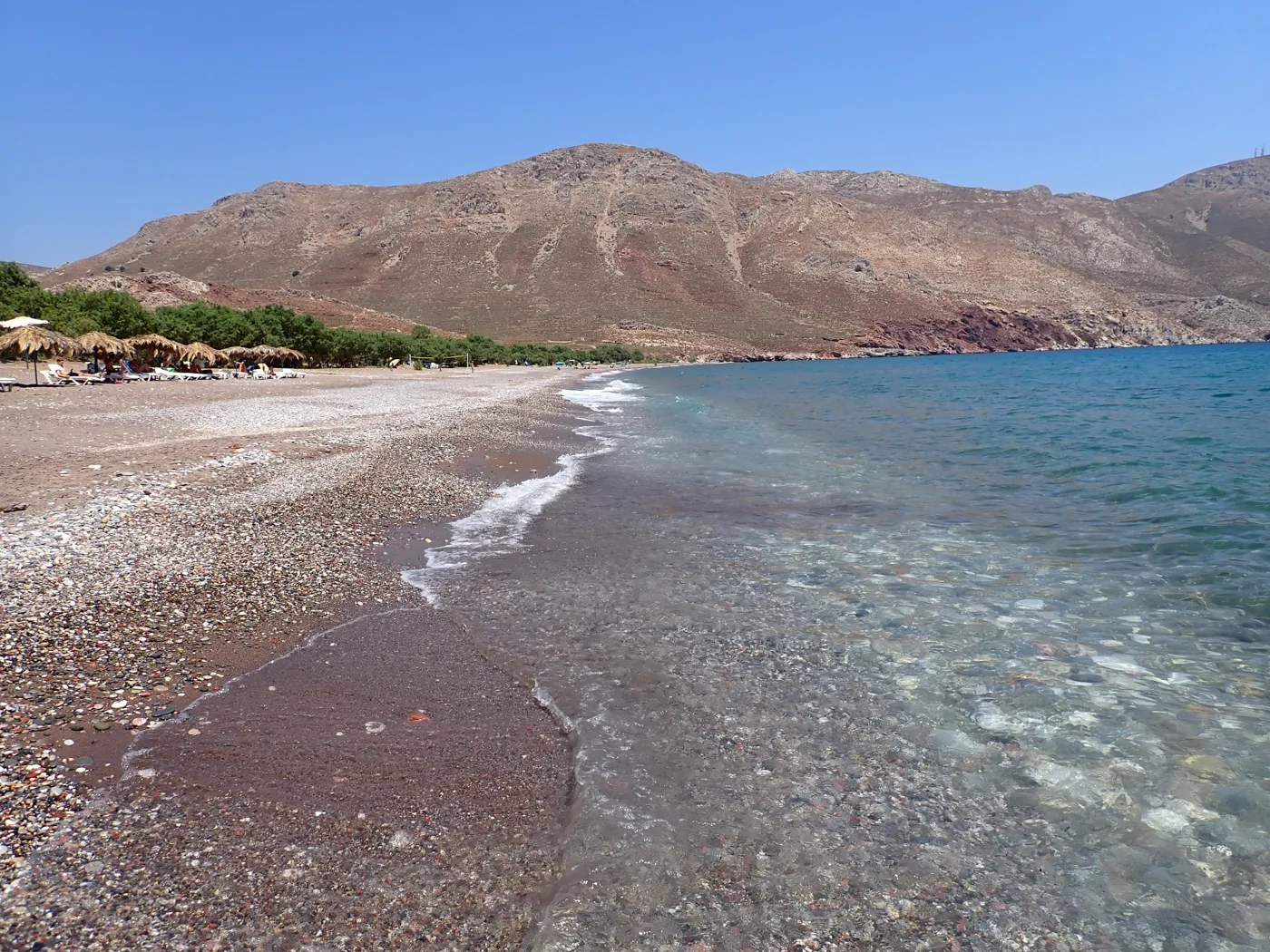
Open to the south wind.
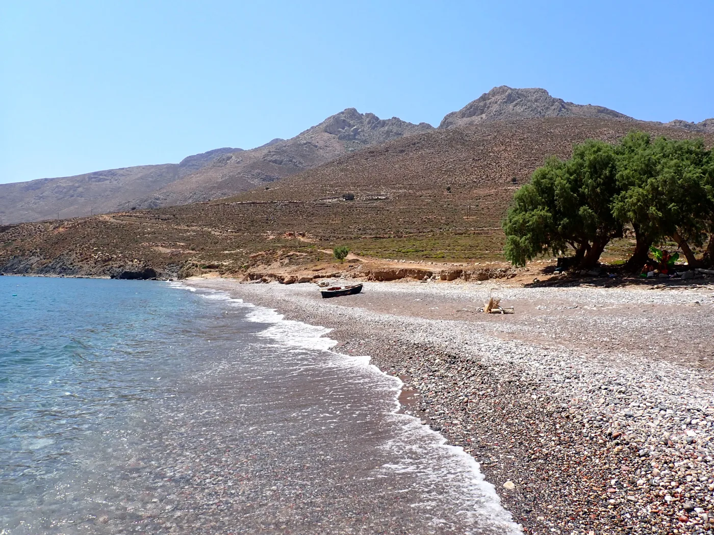
Shade under the tree.
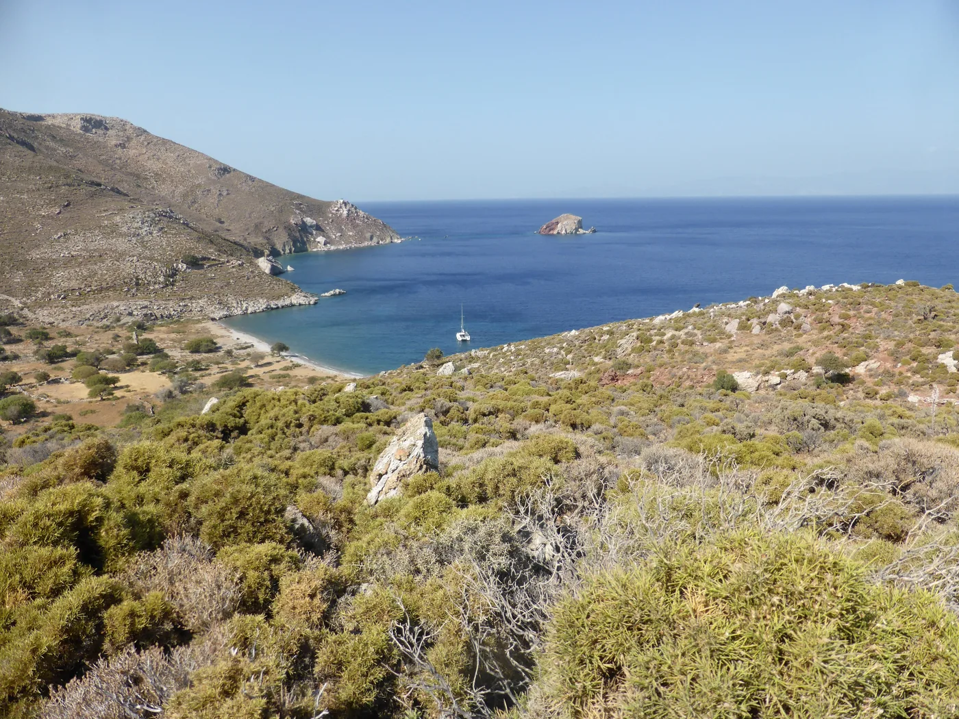
A beach reached on foot.
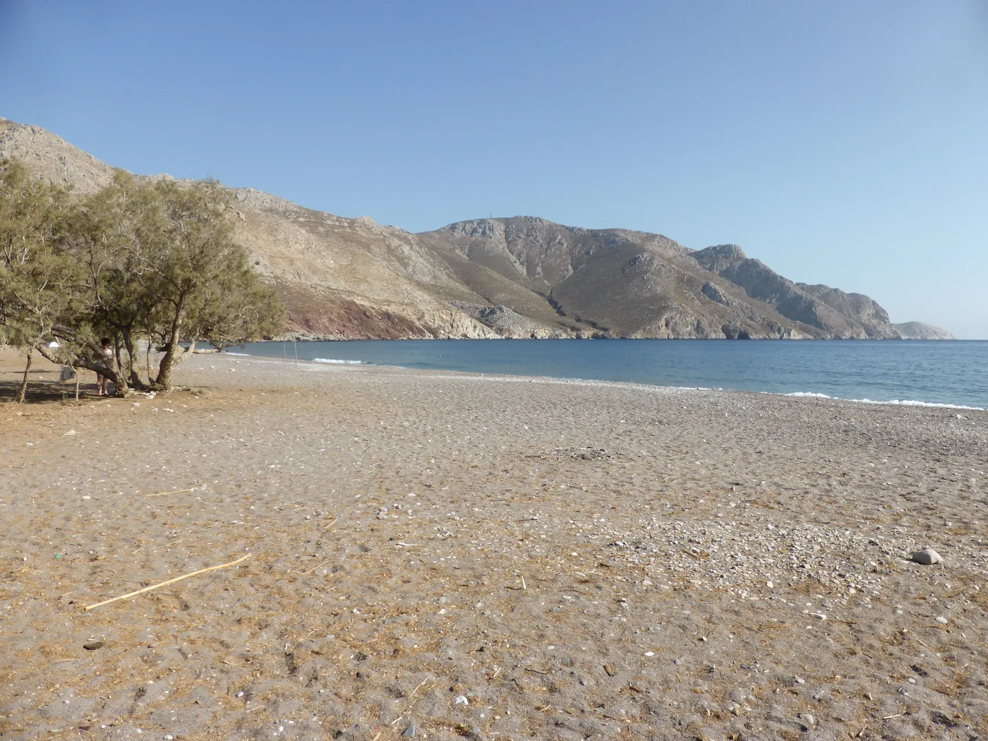
Not a soul around.
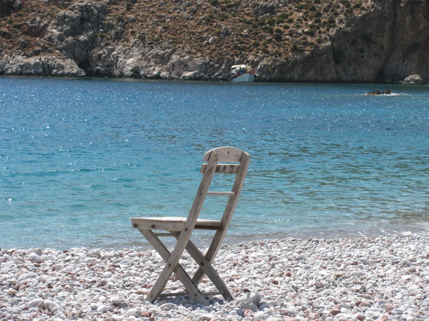
Pebbles and clear water.
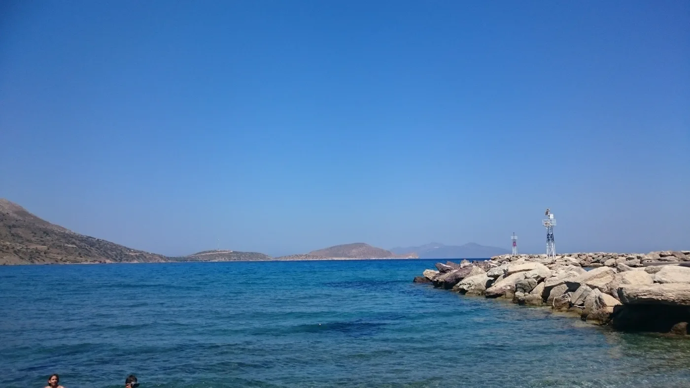
The little fishing harbour.
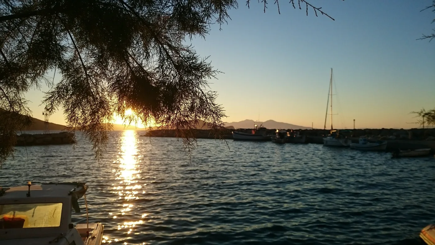
Sunset at Agios Antonios.
Photos: DORA Greece (CC BY-SA 4.0), PLAKLE (CC BY-SA 4.0), Rosa-Maria Rinkl (CC BY-SA 4.0), Giannissp (CC BY-SA 4.0) · Wikimedia Commons
Tilos has dozens of marked footpaths linking villages, monasteries, beaches and abandoned settlements such as Gera. Start early, take plenty of water, and in spring and autumn you will have the best experience.
🌿 Footpaths and nature
Tilos was one of the first islands in Greece to ban hunting, and today the whole island is a protected area, with many rare birds. It is also known for its clean energy and for a programme that recycles almost all its waste. The footpaths cross red earth, rocks, goats and abandoned settlements, and end in coves where you will find no one.
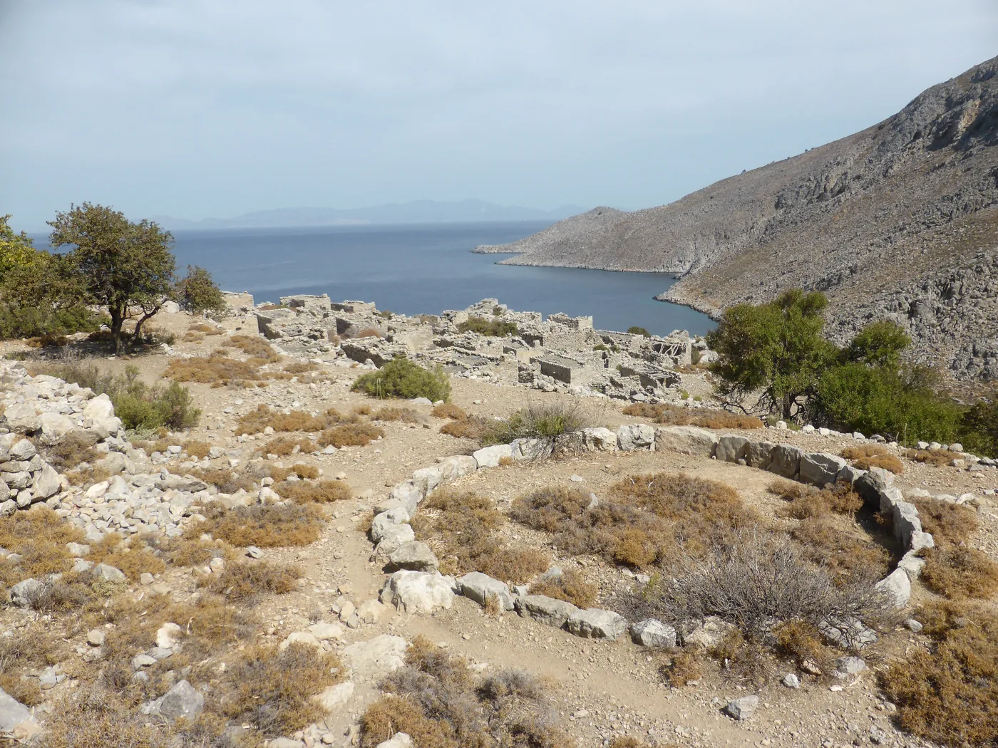
An abandoned settlement.
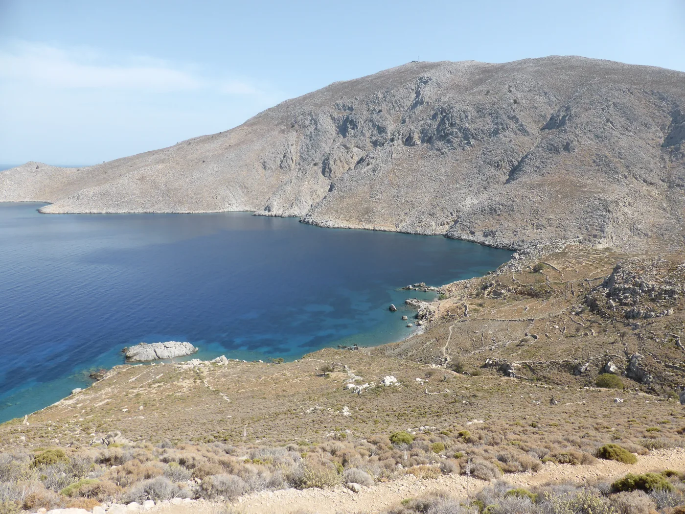
Near Gera.
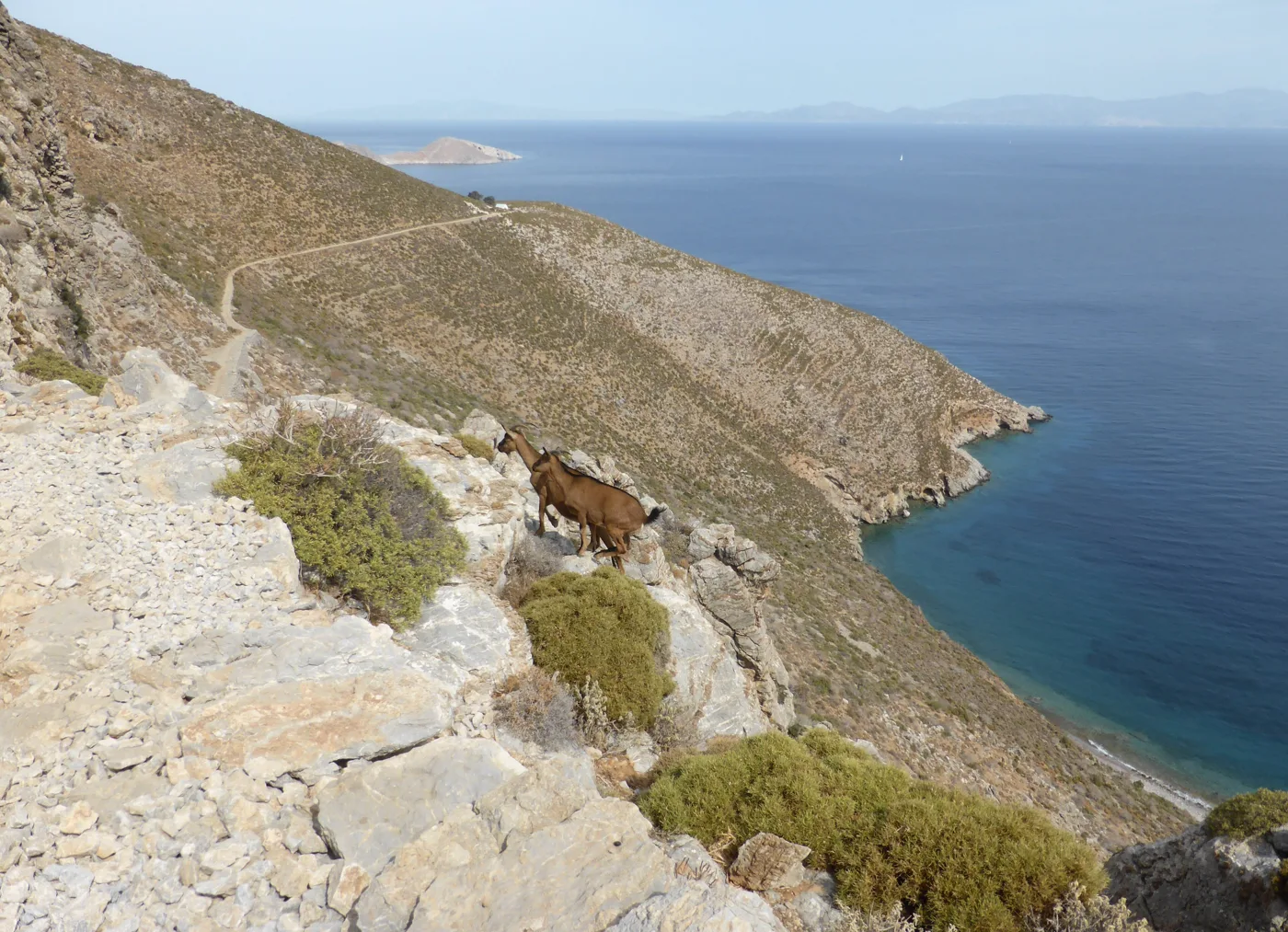
The way to Gera.
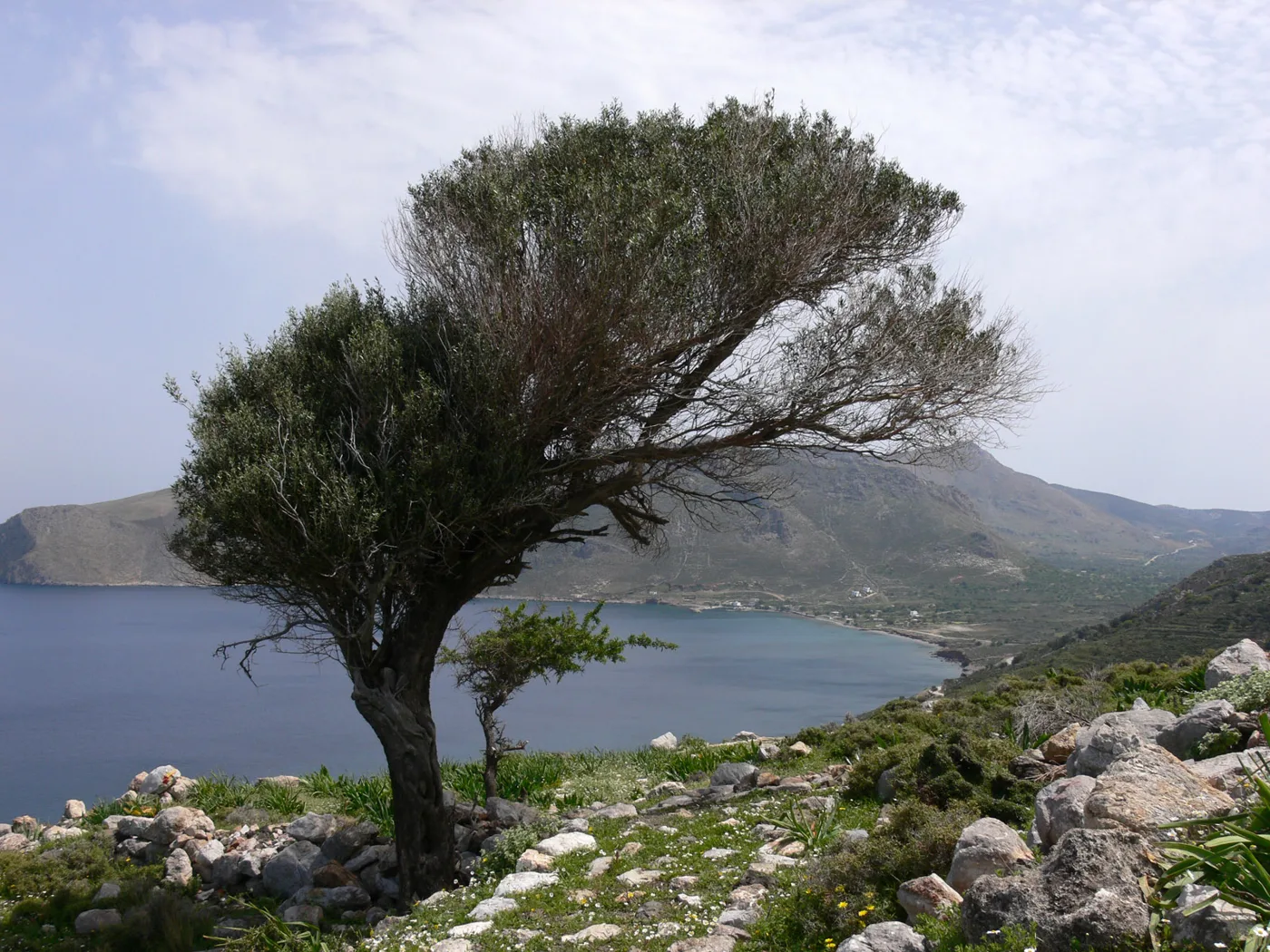
Bent by the wind.
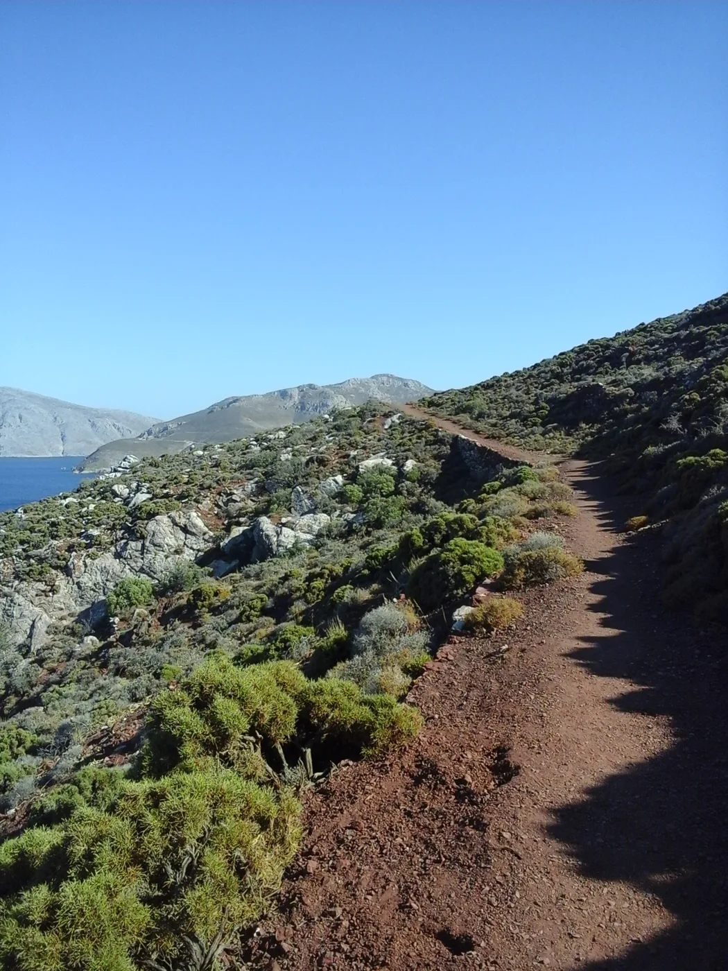
Earth the colour of rust.
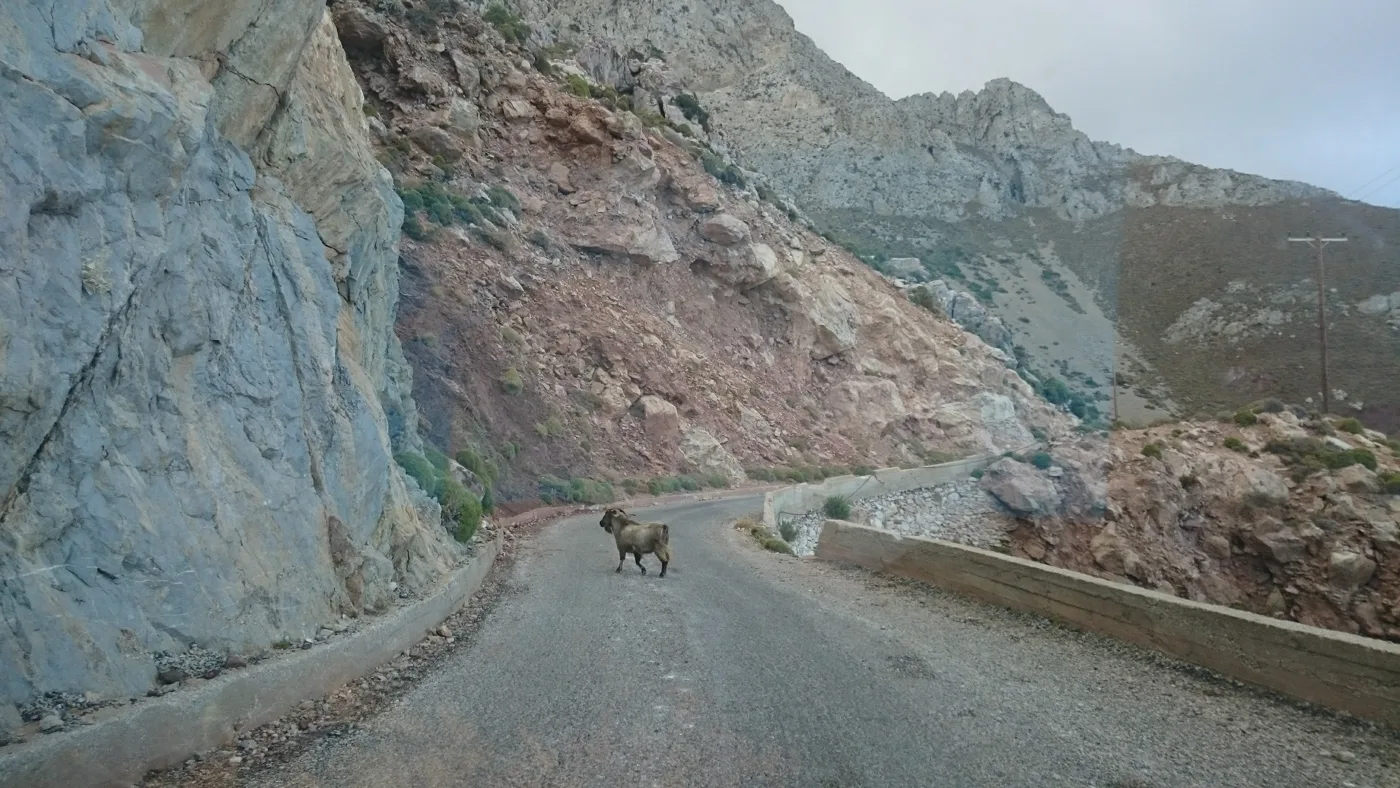
The lady of the road.
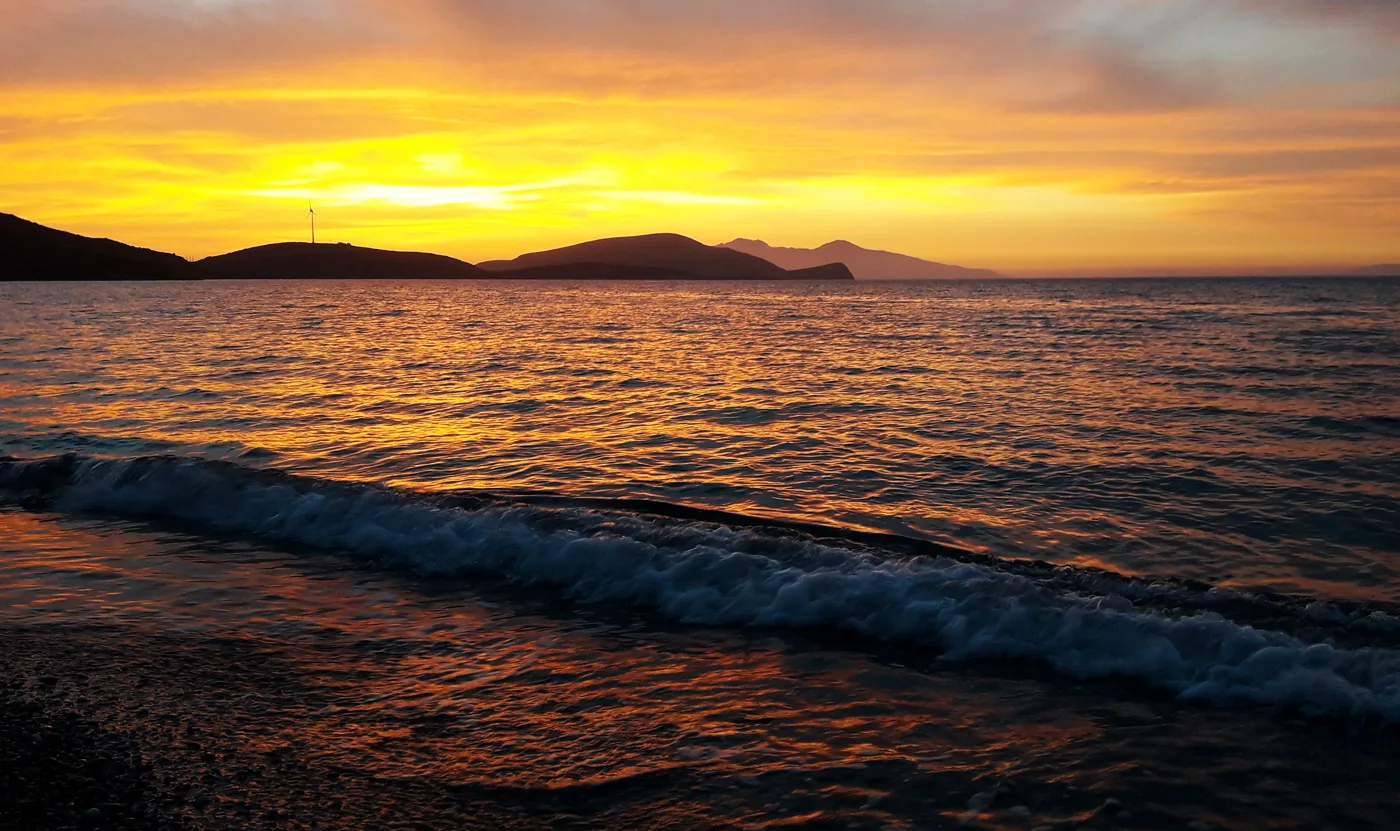
The sky catches fire.
Photos: Rosa-Maria Rinkl (CC BY-SA 4.0), Pavlos11 (CC BY-SA 3.0), Vaszorbas (CC BY-SA 4.0), DORA Greece (CC BY-SA 4.0), Athanasia Pastrikou (CC BY-SA 4.0) · Wikimedia Commons
🍽️ What to eat
In the tavernas of Tilos you will find fresh fish, local kid goat, stuffed vegetables, local cheese and honey. Try the stuffed kid goat with rice, the traditional festive dish, and the honey sweets. In the morning, ask for fresh bread and cheese from the bakery in Livadia.
📅 When to go
May, June and September are the best months, ideal for walking and swimming. In August it is hot and the island is busier, but it stays quiet. In spring the mountains turn green and fill with flowers.
✈️ How to get there from Athens
| How | Duration | From | Notes |
|---|---|---|---|
| Plane and ferry | About 1 hour to Rhodes, plus 1.5 to 2 hours by boat | Athens airport | The fastest way. The catamaran leaves from the port of Rhodes. |
| Ferry from Piraeus | About 12 to 15 hours | Piraeus | Few sailings a week, usually overnight. |
From Ioulianou 50, Piraeus is about 40 minutes by metro and the airport one hour on Line 3. Check the timetables in advance, as they change often. On the island a bus links Livadia with Megalo Chorio, Eristos and Agios Antonios, and you can rent cars and scooters. Tilos is easy to combine with Nisyros: read our guide to Nisyros.
🗓️ Three days on Tilos
Livadia and Mikro Chorio
A swim at the beach of Livadia and in the afternoon a walk to Mikro Chorio, the abandoned village above the bay. Stay for the sunset among the ruins.
Megalo Chorio, the elephants and Eristos
Visit the museum of the dwarf elephants and Megalo Chorio. If you have the energy, climb up to the castle early. In the afternoon go down for a swim at Eristos.
Agios Panteleimonas and the sunset
Drive or take the bus to the monastery of Agios Panteleimonas, on the west coast. On the way back, swim at Plaka and watch the sunset from the little harbour of Agios Antonios.
Frequently asked questions
Can I visit Tilos on a day trip from Rhodes?
Yes, when the catamaran timetables allow. In one day you can see Livadia and Mikro Chorio and have a swim. For Megalo Chorio, Eristos and the footpaths you need at least two nights.
Where should I stay on Tilos?
In Livadia, so you are close to the harbour, the tavernas and the beach. In Megalo Chorio or near Eristos, if you want more peace.
Where can I see the dwarf elephants?
The finds from the Charkadio cave are on display in a small museum on the road between Livadia and Megalo Chorio. Check the opening hours before you go.
How many days do I need?
Three to four days are enough for the villages, the beaches and a few footpaths. A week if you want to do a lot of walking.
— Kathy