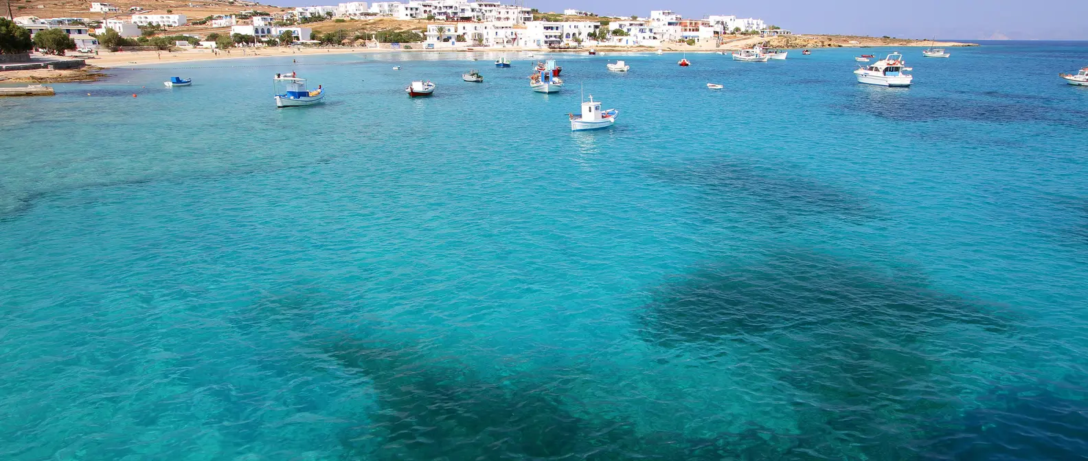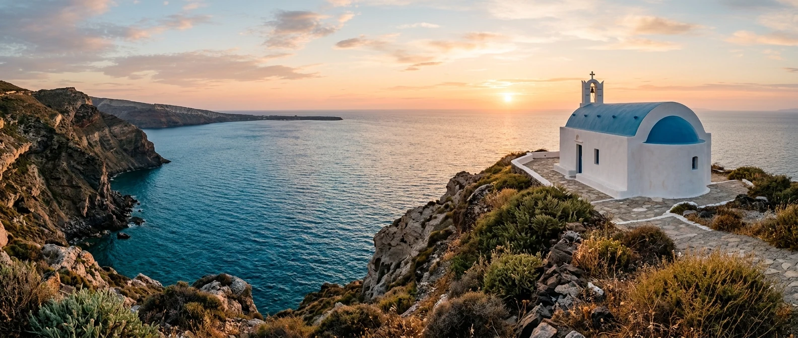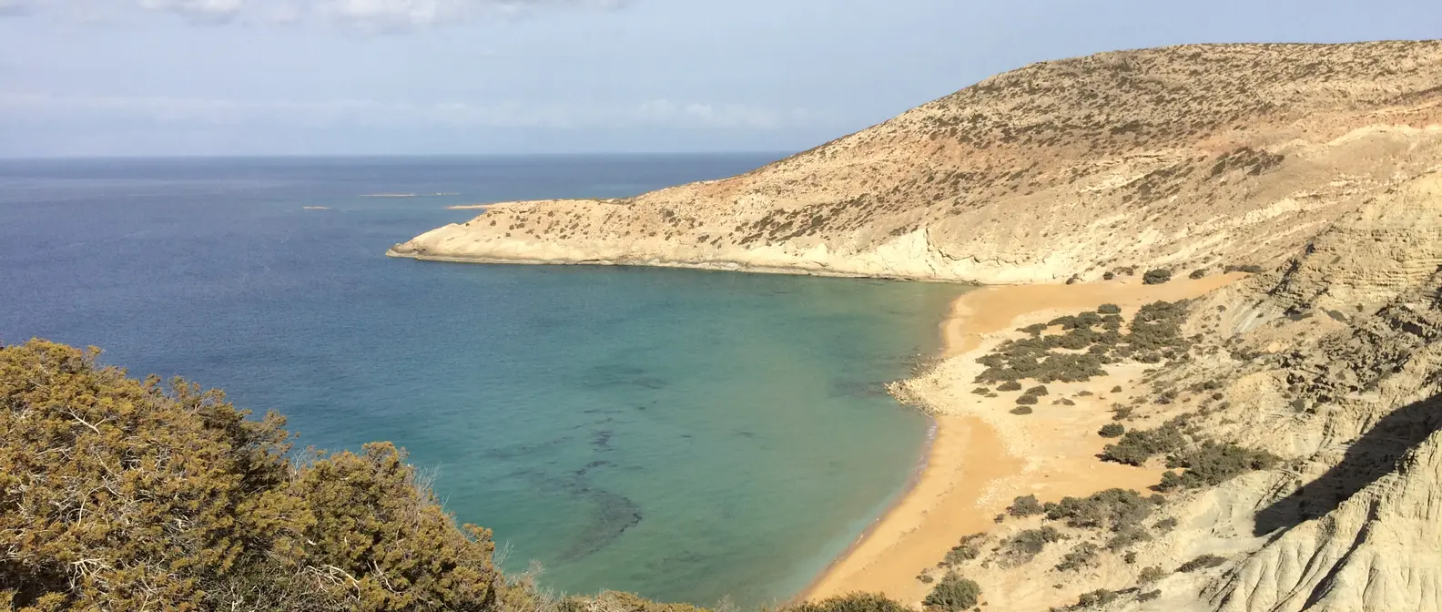
🪪 The island at a glance
📍 Where it is
Gavdos lies in the Libyan Sea, about 40 kilometres south of the coast of Chania, and belongs to Crete. It is the southernmost island of Greece. It has no airport, so you first travel to Crete, by plane or ferry, and from there you take a boat from Chora Sfakion or Paleochora.
📍 Where Gavdos is
Gavdos lies in the Libyan Sea, south of Chania, and is the southernmost island of Greece. The island is shown in red, and in green Piraeus, Chania, Chora Sfakion and Paleochora, where the boats come from.
🗺️ The map of the island
Gavdos is low and dry, with hills covered in cedars and pine trees. The main road starts at the harbour, Karave, and goes to the capital, Kastri, and from there to the few villages. Many beaches can only be reached by dirt road or footpath. To the north, across the water, lies the uninhabited islet of Gavdopoula.
🗺️ Map of Gavdos
Gavdos is shaped like a triangle. The harbour, Karave, is on the east coast, with Sarakiniko a little further north. On the north coast are Agios Ioannis, Lavrakas, Pyrgos and Potamos, and in the west the lighthouse and Ambelos. In the middle is Kastri, and in the south Vatsiana, Korfos, Lakkoudi and Tripiti. Tap each number to see what it is.
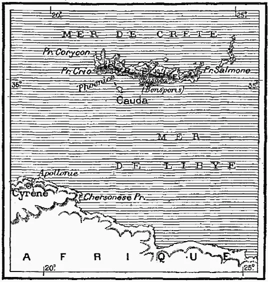
Map: Louis Thuillier (Public domain) · Wikimedia Commons
⚖️ Is it worth it? The pros and cons
Gavdos is for people who truly want to get away. Here is an honest picture.
📊 At a glance, from 1 to 5
👍 The pros
- The southernmost point of Europe, with the chair at Tripiti.
- Long, empty sandy beaches with cedars and dunes.
- Peace and quiet, with no big hotels and no crowds.
- Nights with thousands of stars.
- A sense of freedom that few islands still have.
👎 The cons
- A long journey: first Crete, then a boat.
- Boats are often cancelled when it is windy.
- Few places to stay, few shops and little water.
- You need a car or strong legs for the beaches.
🧭 Tripiti, the southernmost point of Europe
At the southern tip of the island, Cape Tripiti is the southernmost point of Europe. There, on the white rocks, someone set up a large wooden chair, and today everyone sits in it for a photo, with Africa somewhere beyond the horizon. The name comes from the rocks with holes and arches carved by the sea.
The road ends near Vatsiana, the southernmost village, and from there a path goes down to the sea in about 45 minutes. Nearby are Lakkoudi, with pebbles and clear water, and Korfos, a bay with sand and a taverna.
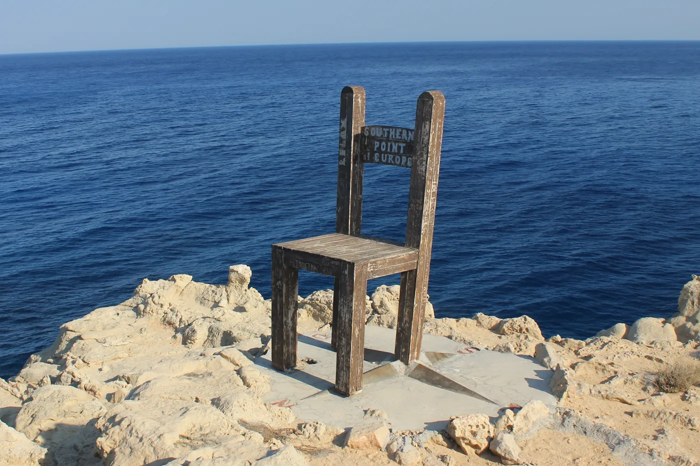
The southernmost point of Europe.
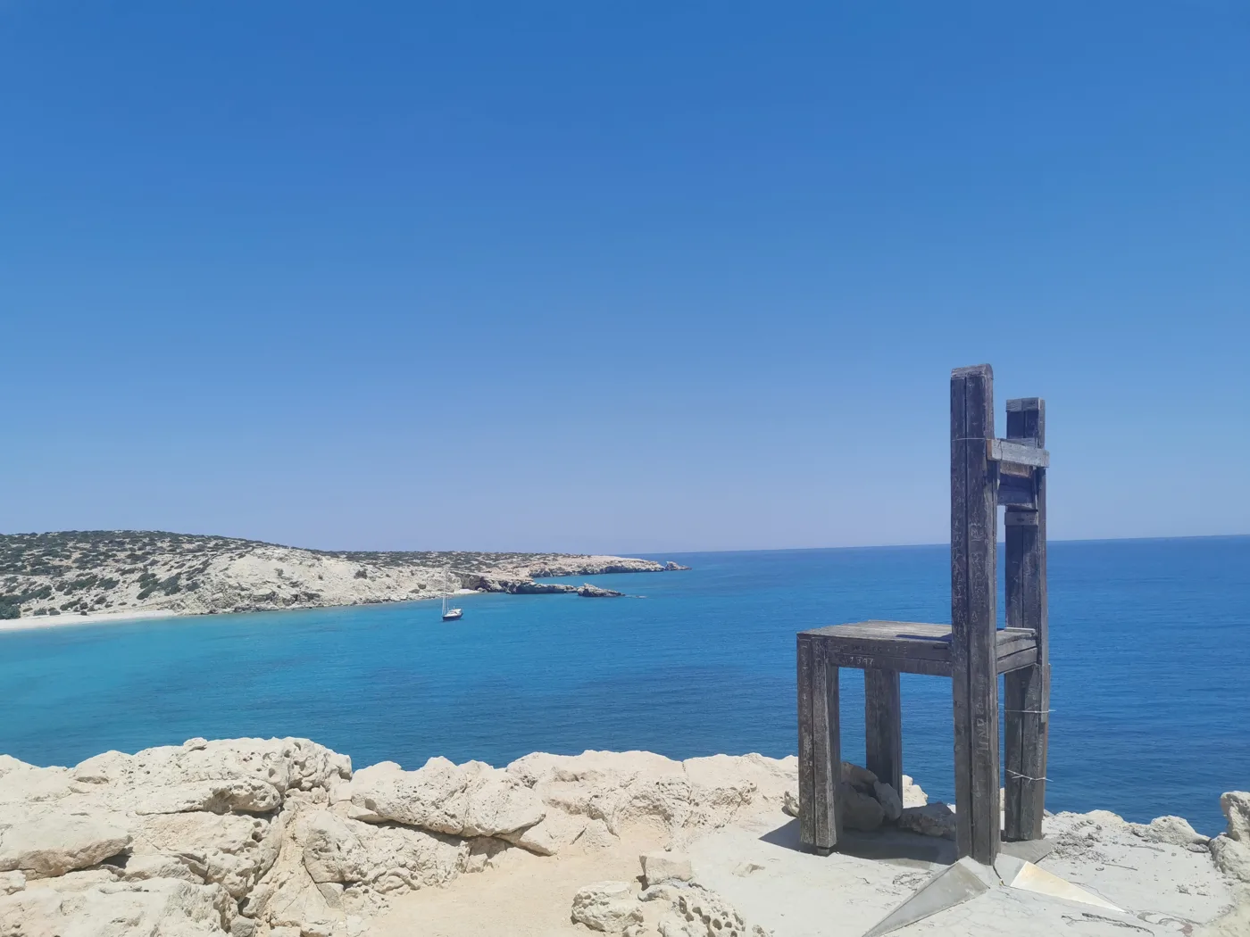
Africa lies across the sea.
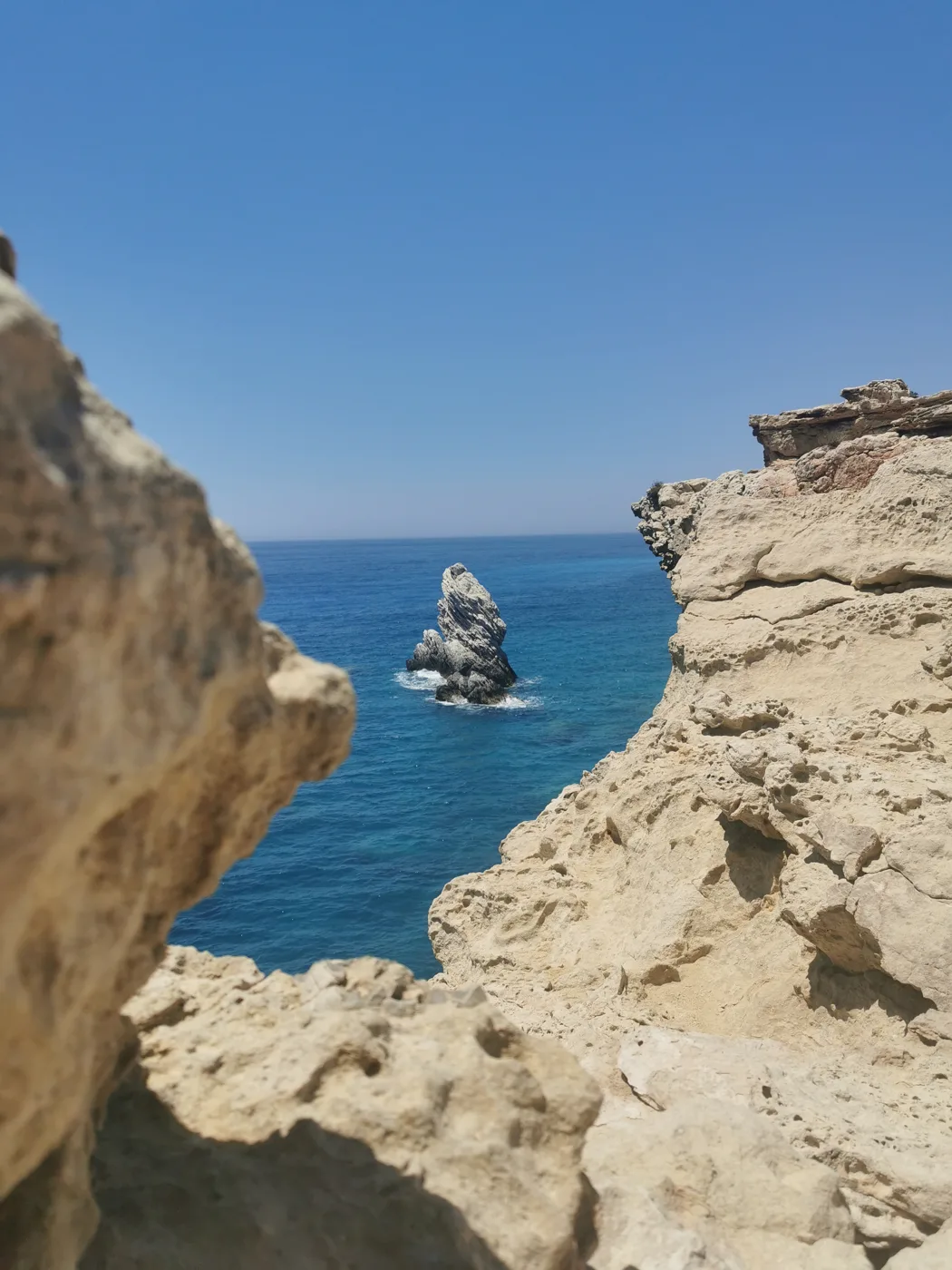
Holes and arches on the coast.
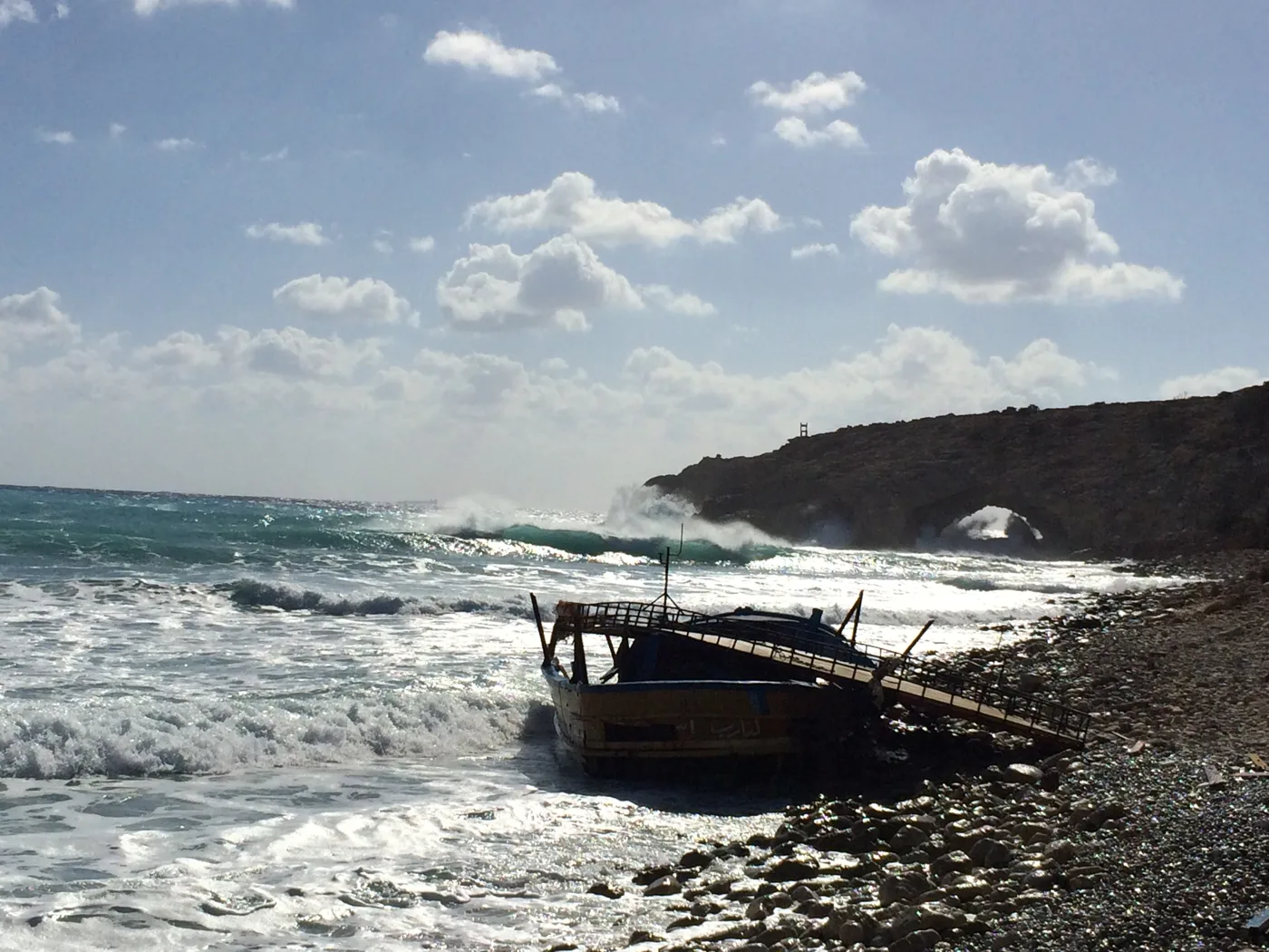
The south in the wind.
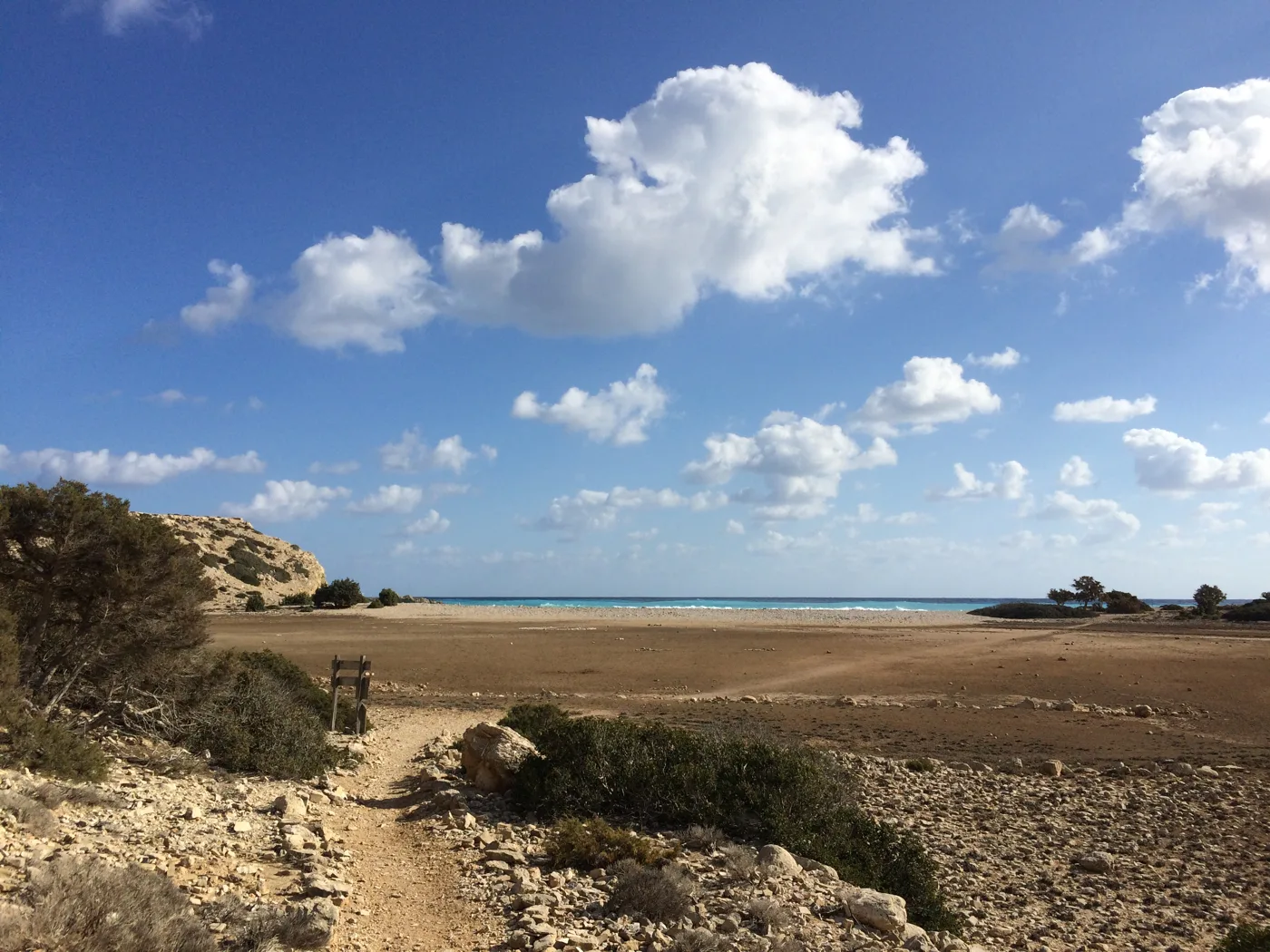
The way to the sea.
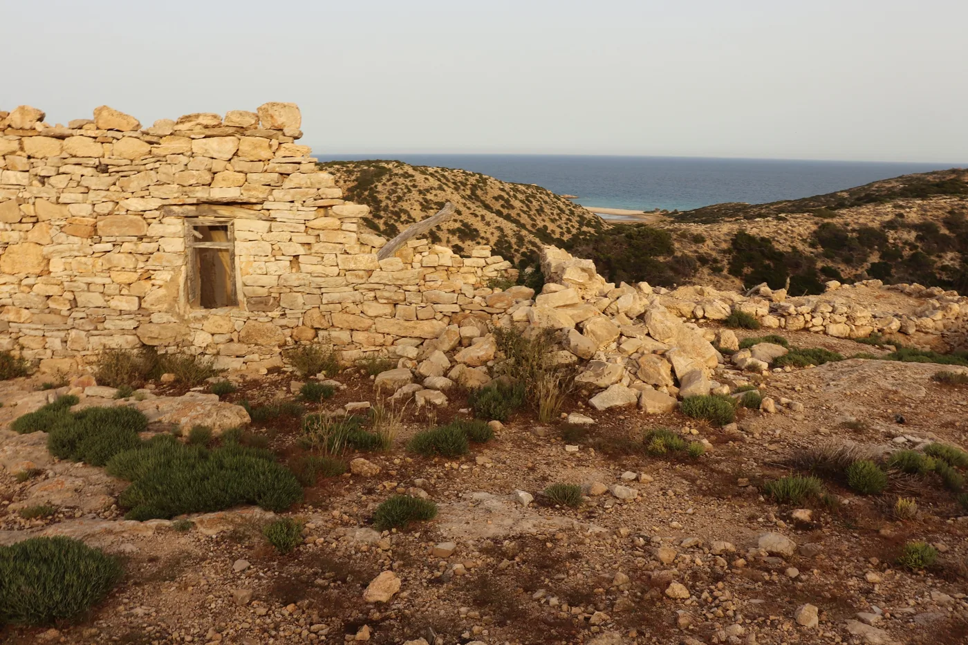
Old houses in the wilderness.
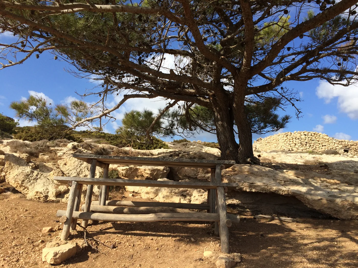
Shade under the cedar.
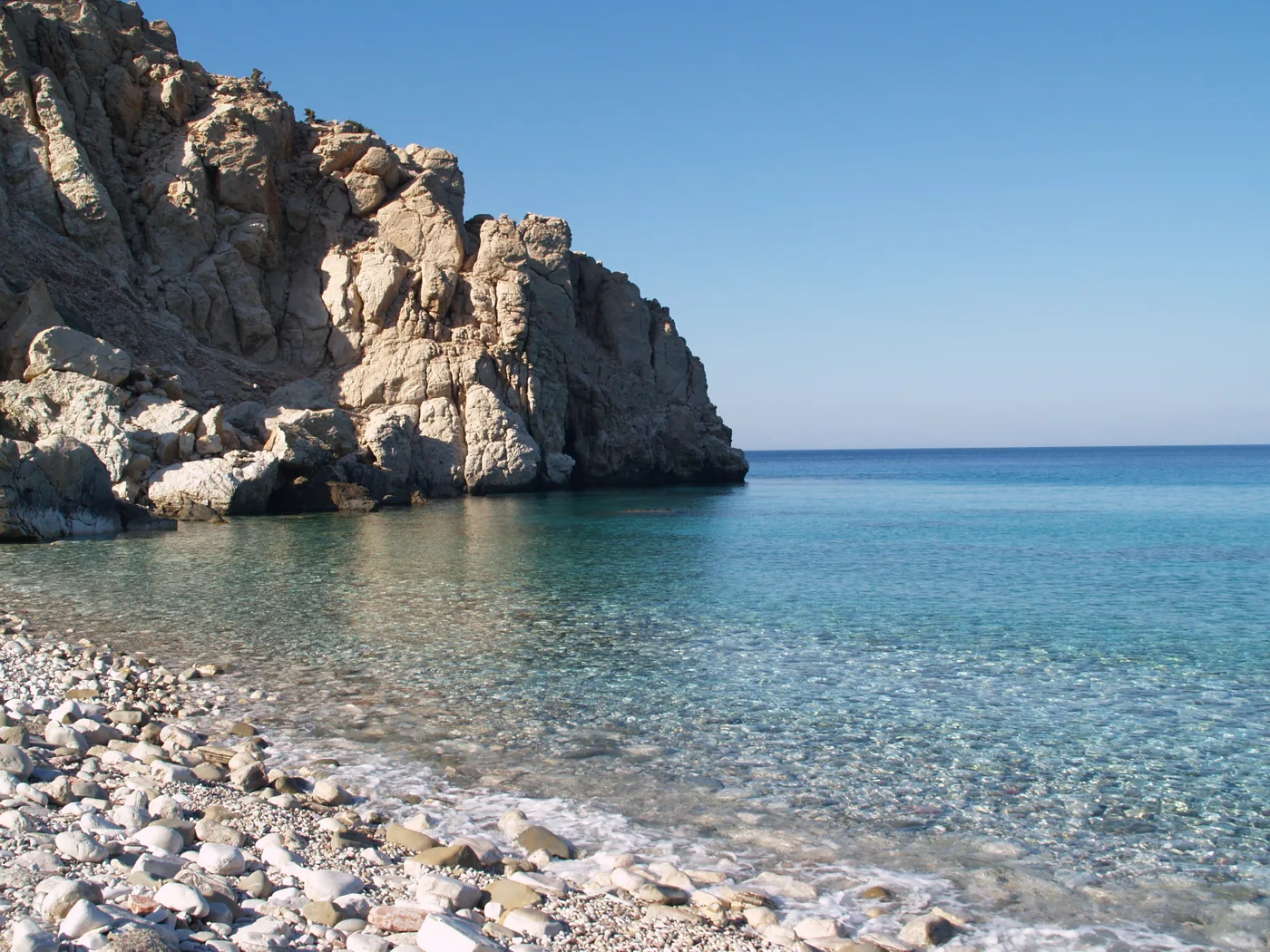
Pebbles and clear water.
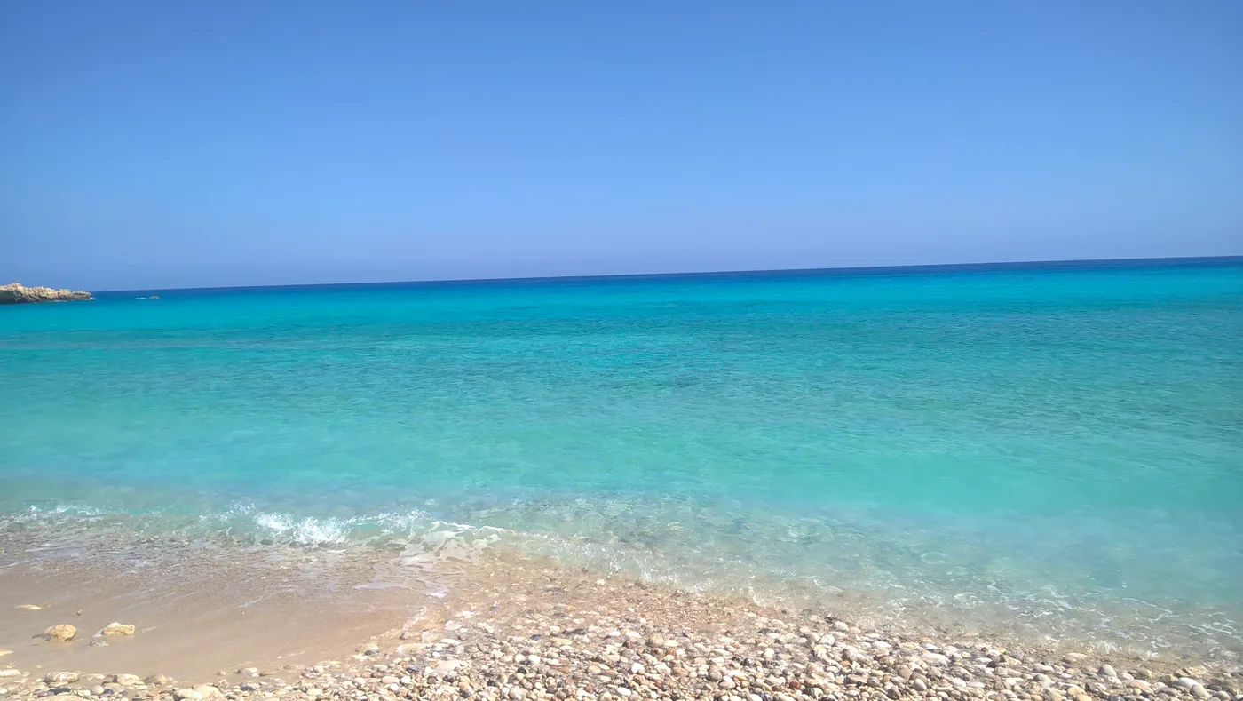
The colour of the south coast.
Photos: Milad A380 (CC BY 3.0), ioannis limnios sekeris (CC BY-SA 4.0), Eneas_Ts (CC BY-SA 4.0), Lorileviathan (CC BY-SA 4.0), Vaszorbas (CC BY-SA 4.0), Olympiatsapara (CC BY-SA 4.0) · Wikimedia Commons
Start early in the morning or late in the afternoon, as there is no shade on the path. Take plenty of water, a hat and good shoes, and keep away from the edge of the rocks when it is windy.
🏖️ The beaches
The beaches of Gavdos are long, with golden sand, dunes and cedars that reach down to the water. Next to the harbour, Sarakiniko is the biggest sandy beach, with tavernas and people. To the north, Agios Ioannis, or Ai Giannis, has dunes inside a cedar forest, and Lavrakas a small lagoon behind the sand. Further west, Pyrgos and Potamos are empty bays you reach on foot.
- Sarakiniko: long sandy beach with tavernas, near the harbour.
- Agios Ioannis: dunes and cedars, the most famous.
- Lavrakas and Pyrgos: quiet sandy beaches in the north.
- Potamos: golden sand below white rocks, reached by a path.
- Korfos and Lakkoudi: in the south, near Tripiti.
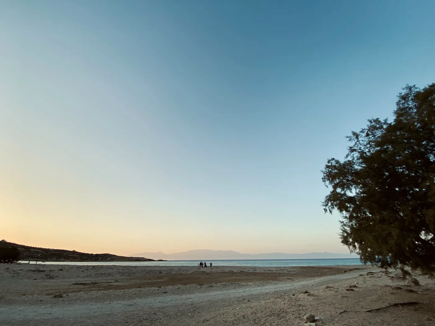
The biggest sandy beach.
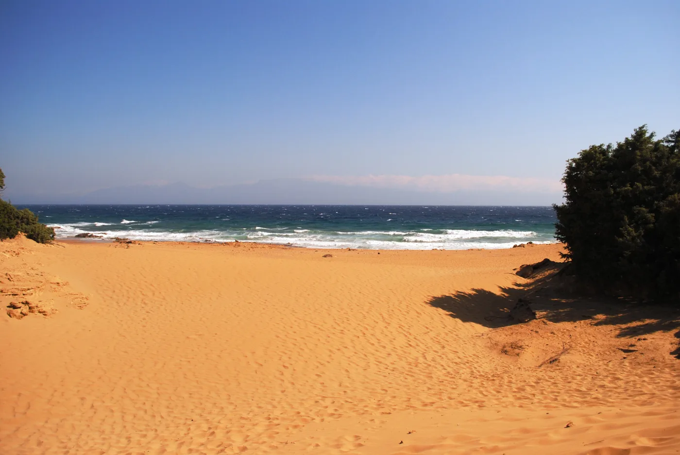
Sand and cedars.
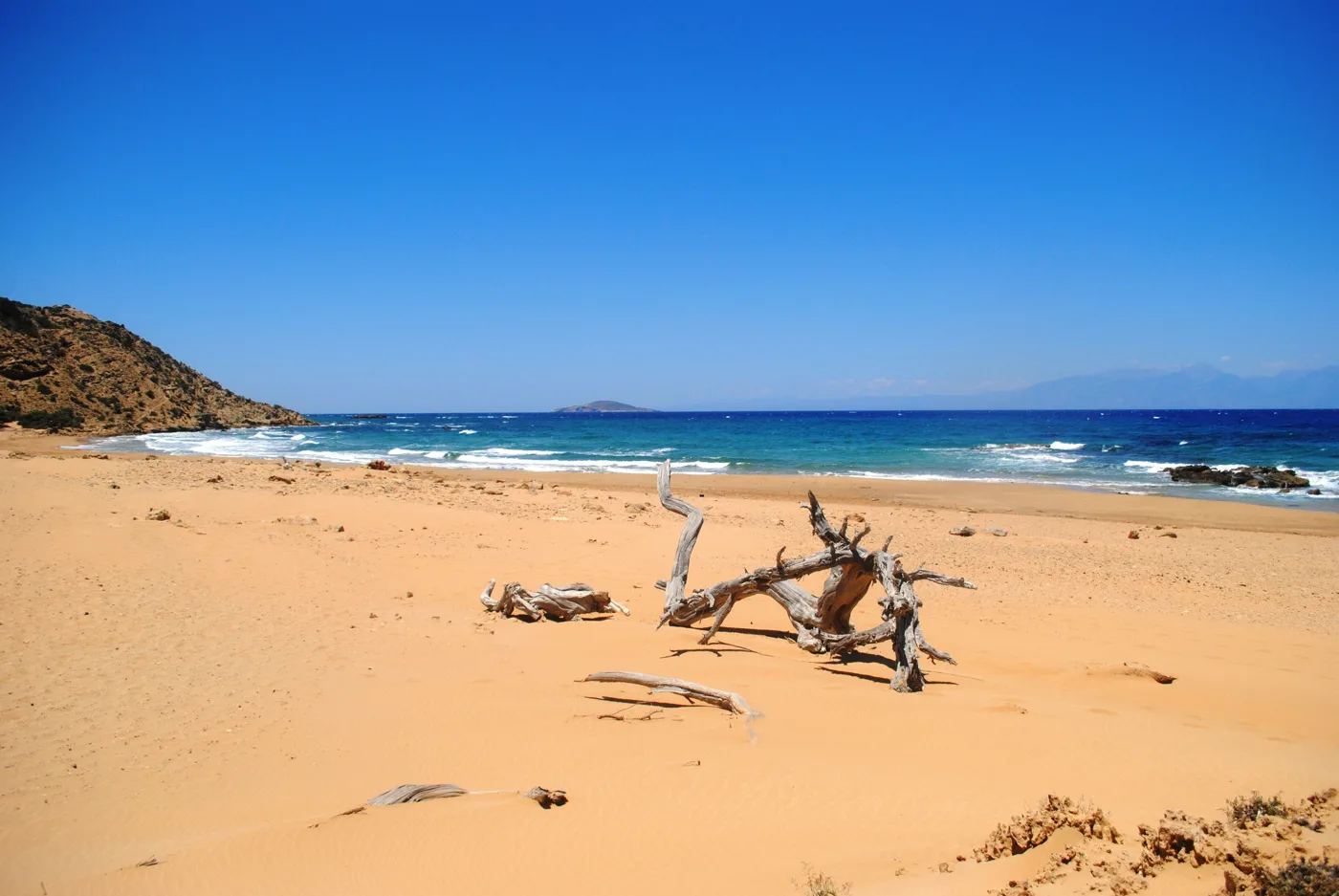
Empty to the horizon.
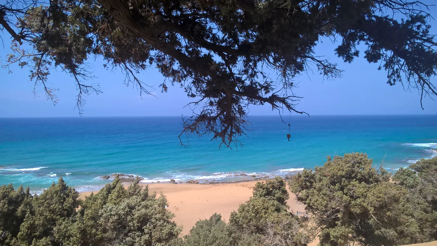
The way to the sea.
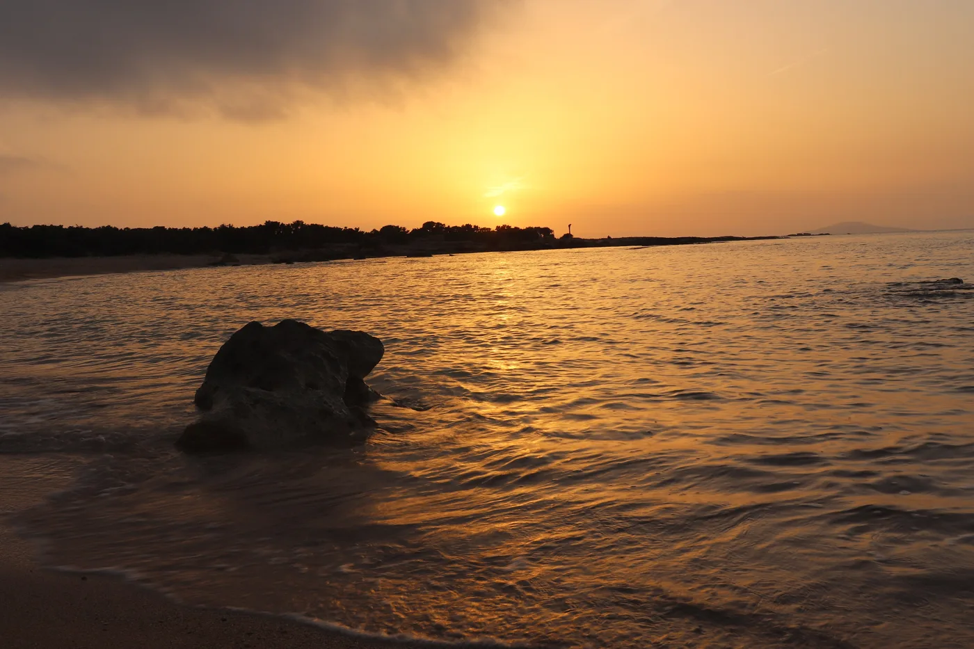
Sunset in the north.
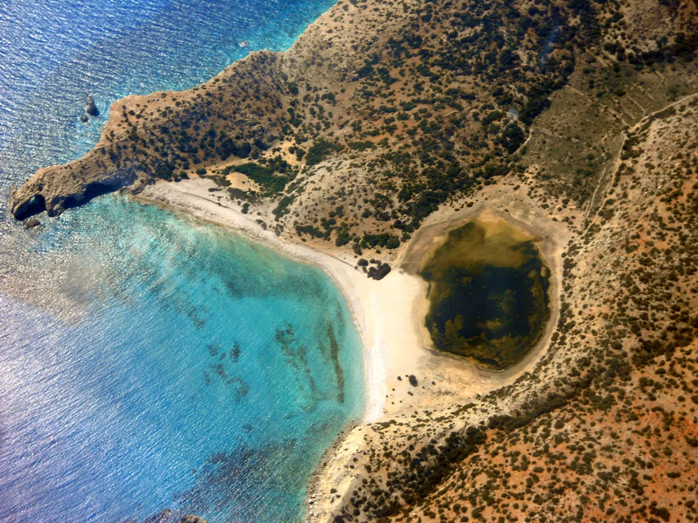
The lagoon behind the sand.
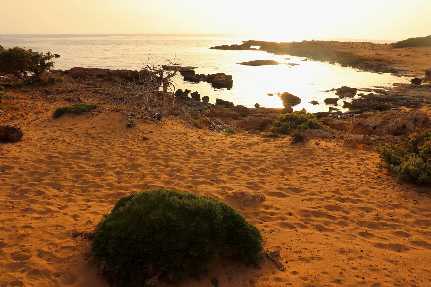
Dunes at sunset.
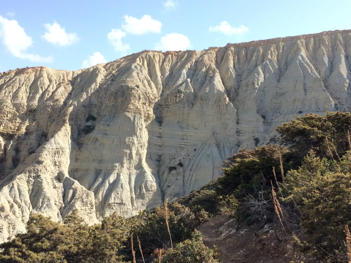
The white rocks.
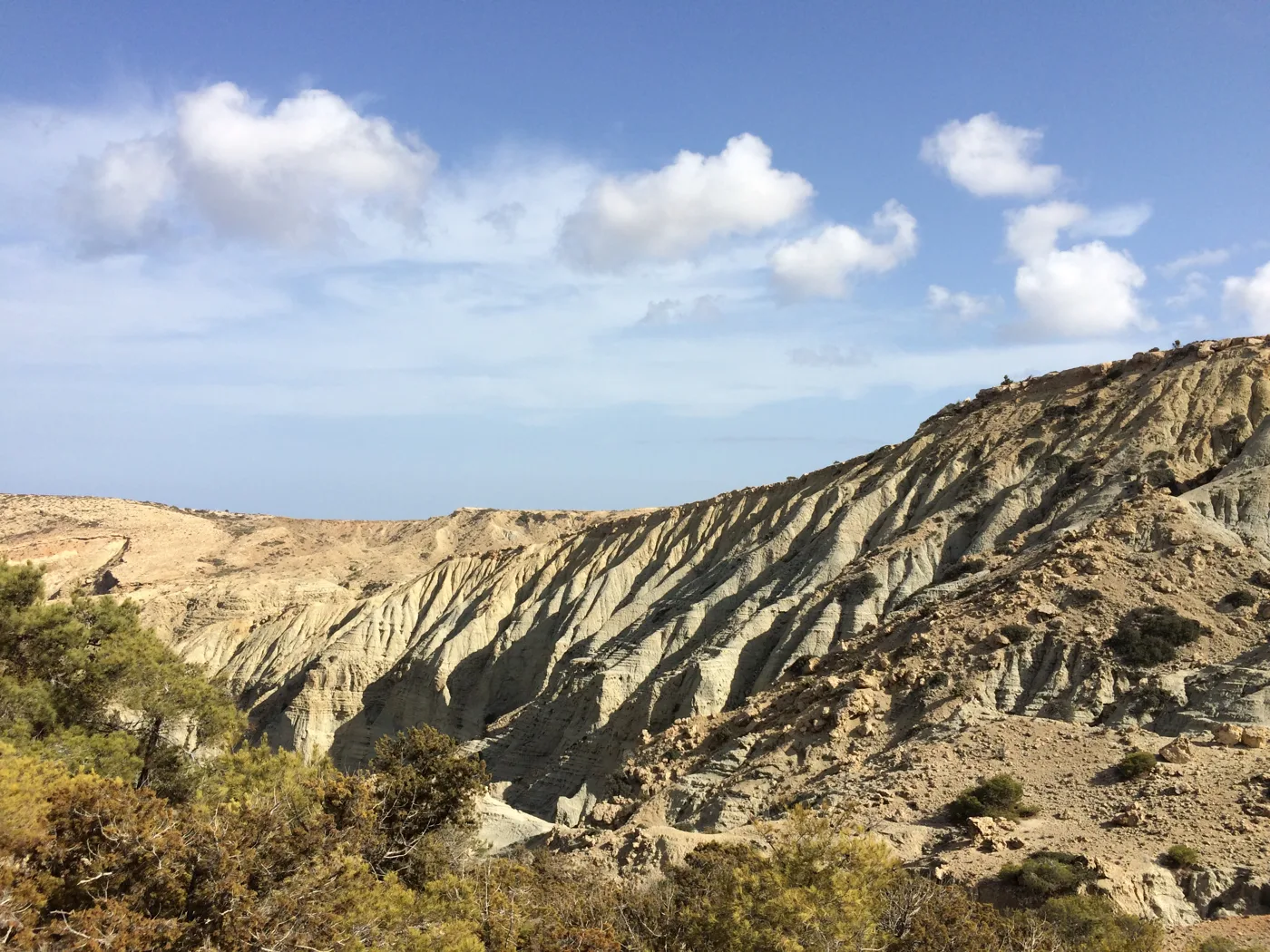
Above the beach.
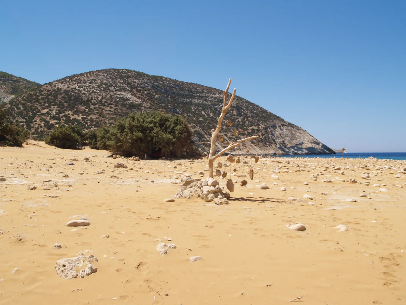
Golden and empty.
Photos: Varvac (CC BY-SA 4.0), Artemis Katsadoura (CC BY-SA 4.0), Olympiatsapara (CC BY-SA 4.0), Lorileviathan (CC BY-SA 4.0), Giannis M. (CC BY-SA 4.0), Eneas_Ts (CC BY-SA 4.0), Vaszorbas (CC BY-SA 4.0) · Wikimedia Commons
Gavdos is known for tents on the beaches, mainly at Ai Giannis and Sarakiniko. The cedar forests are protected: never light a fire, do not cut branches and take all your rubbish with you. Water is scarce, so use it sparingly.
🌲 The cedars and nature
The most beautiful part of Gavdos is its forests of cedars, low, twisted trees that grow on the sand and the rocks. Among them grows thyme, which the bees turn into the island’s honey. The forests and dunes are protected as a Natura area. At night, with no lights, the sky fills with stars and the Milky Way is clearly visible.
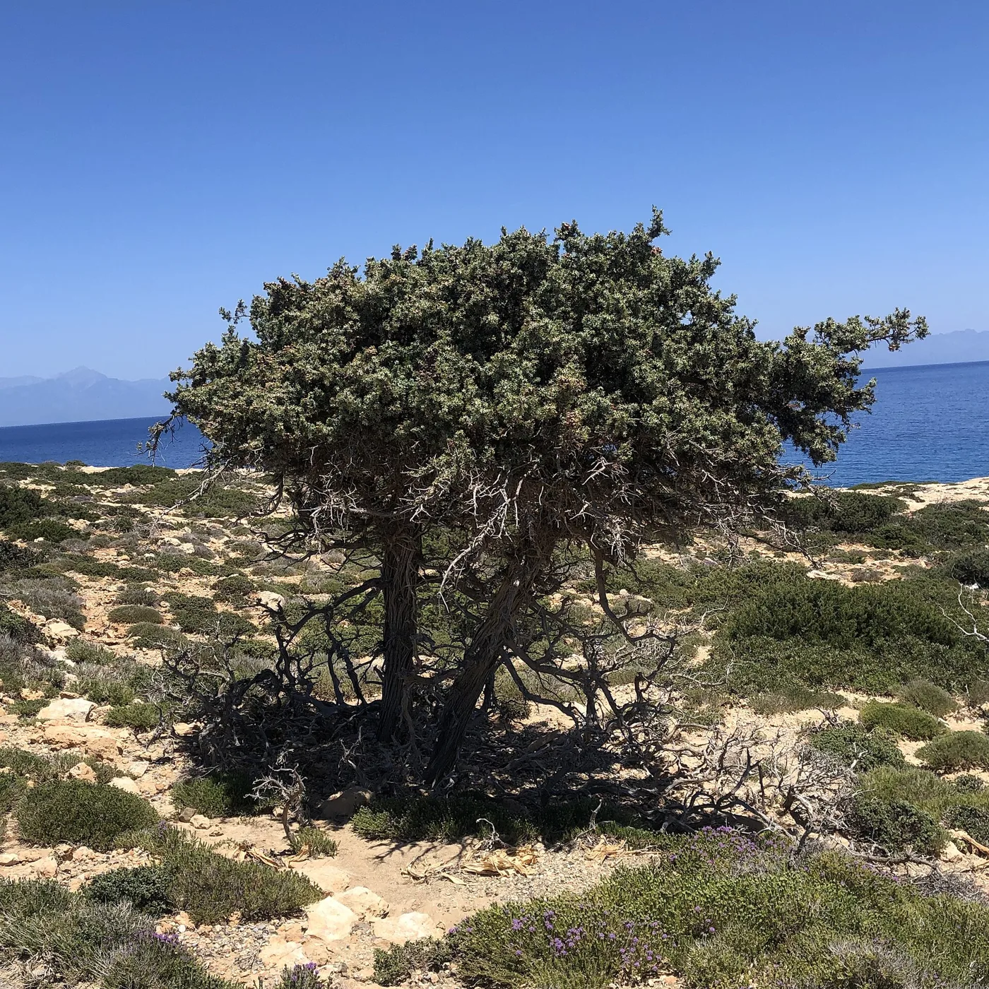
The tree of the island.
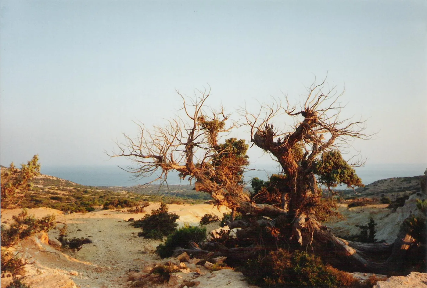
Twisted by the wind.
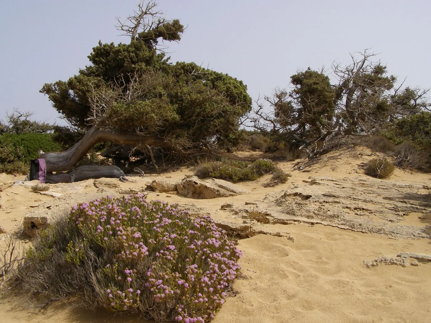
Cedars and thyme on the sand.
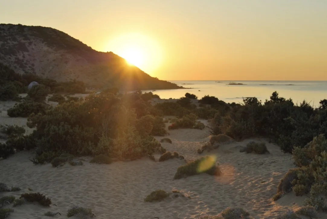
On the way to Ai Giannis.
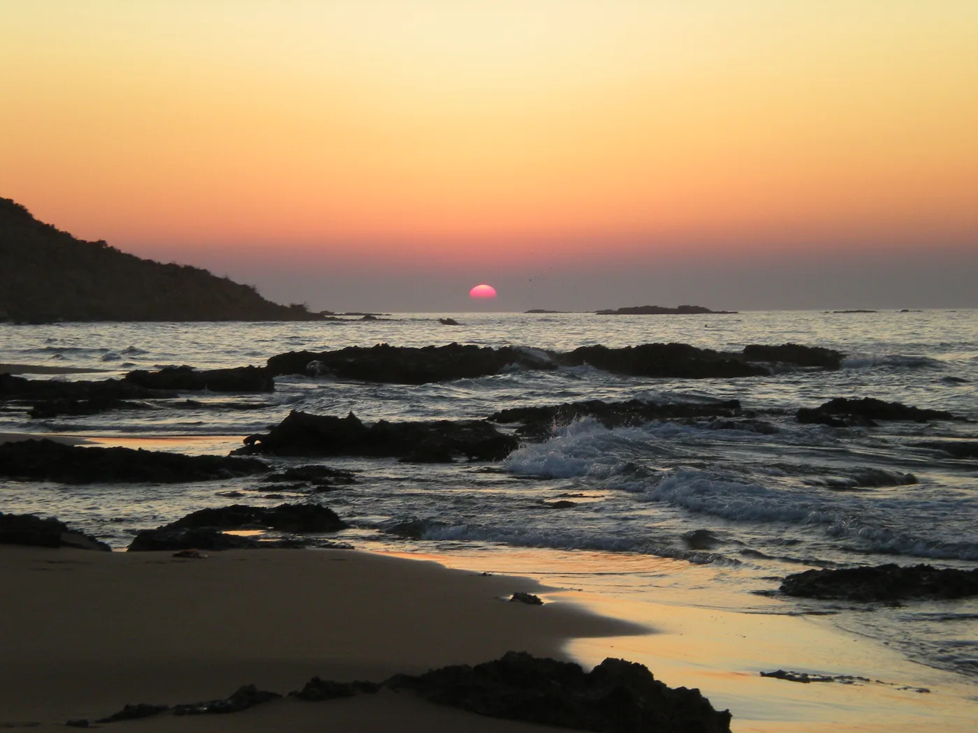
Sunset over the sea.
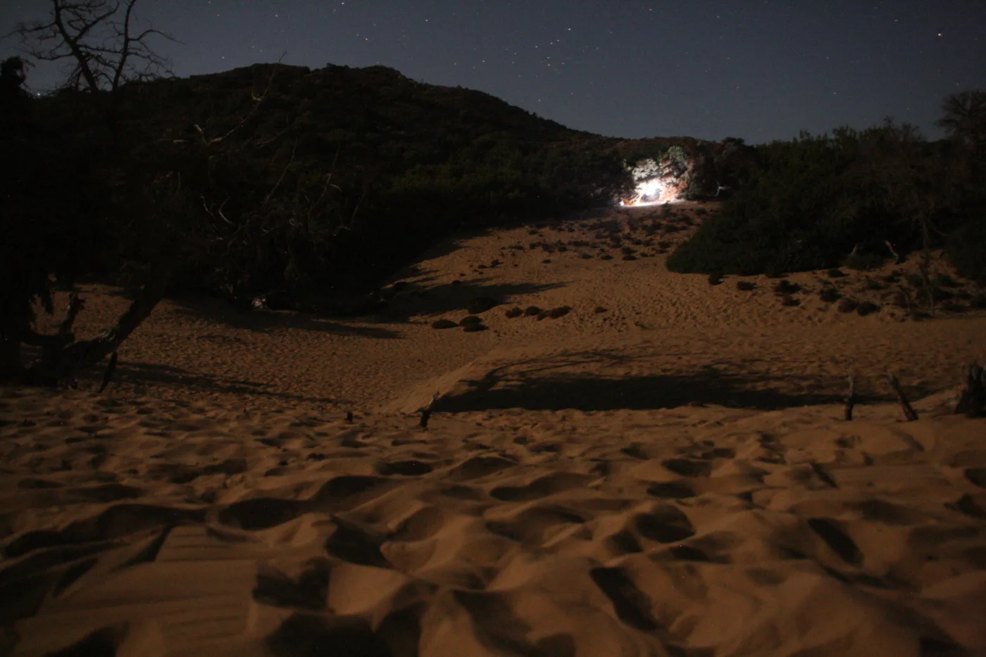
Tents under the stars.
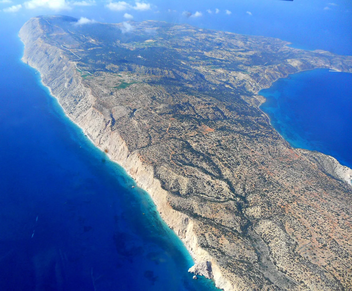
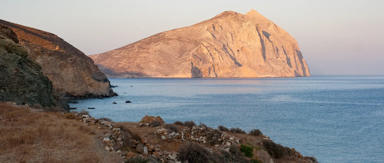
Cliffs on the west coast.
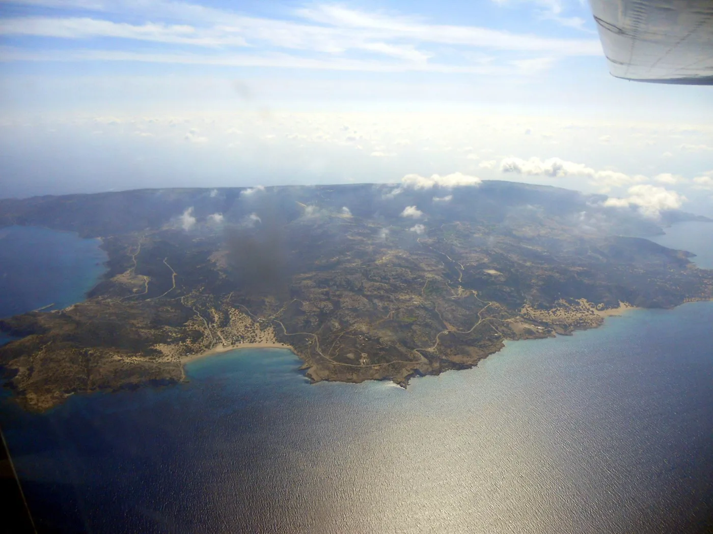
An island in the middle of the sea.
Photos: Fheinimann96fh (CC0), weidegruen (CC BY-SA 2.0), Frente (CC BY-SA 2.0 de), Michalis Empeoglou (CC BY-SA 4.0), Elena Alexiou (CC BY-SA 4.0), Aggelospallikarakis (CC BY-SA 4.0), Giannis M. (CC BY-SA 4.0) · Wikimedia Commons
🏡 The villages and the lighthouse
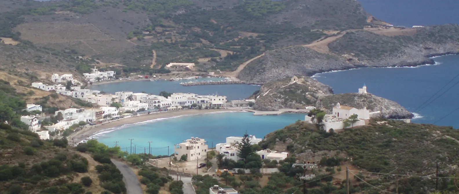
The villages of Gavdos are just a few houses each. Karave has a few cafés and shops, and Kastri, the capital, has the church and the community office. At Sarakiniko you can still see the house where political exiles lived between the two world wars, when the island was a place of exile.
In the west, above Ambelos, the 19th-century lighthouse was rebuilt and now houses a small museum and a café, with views over the whole sea. It is the best place on the island for sunset. Tradition says that Gavdos is Ogygia, the island of the nymph Calypso in the Odyssey.
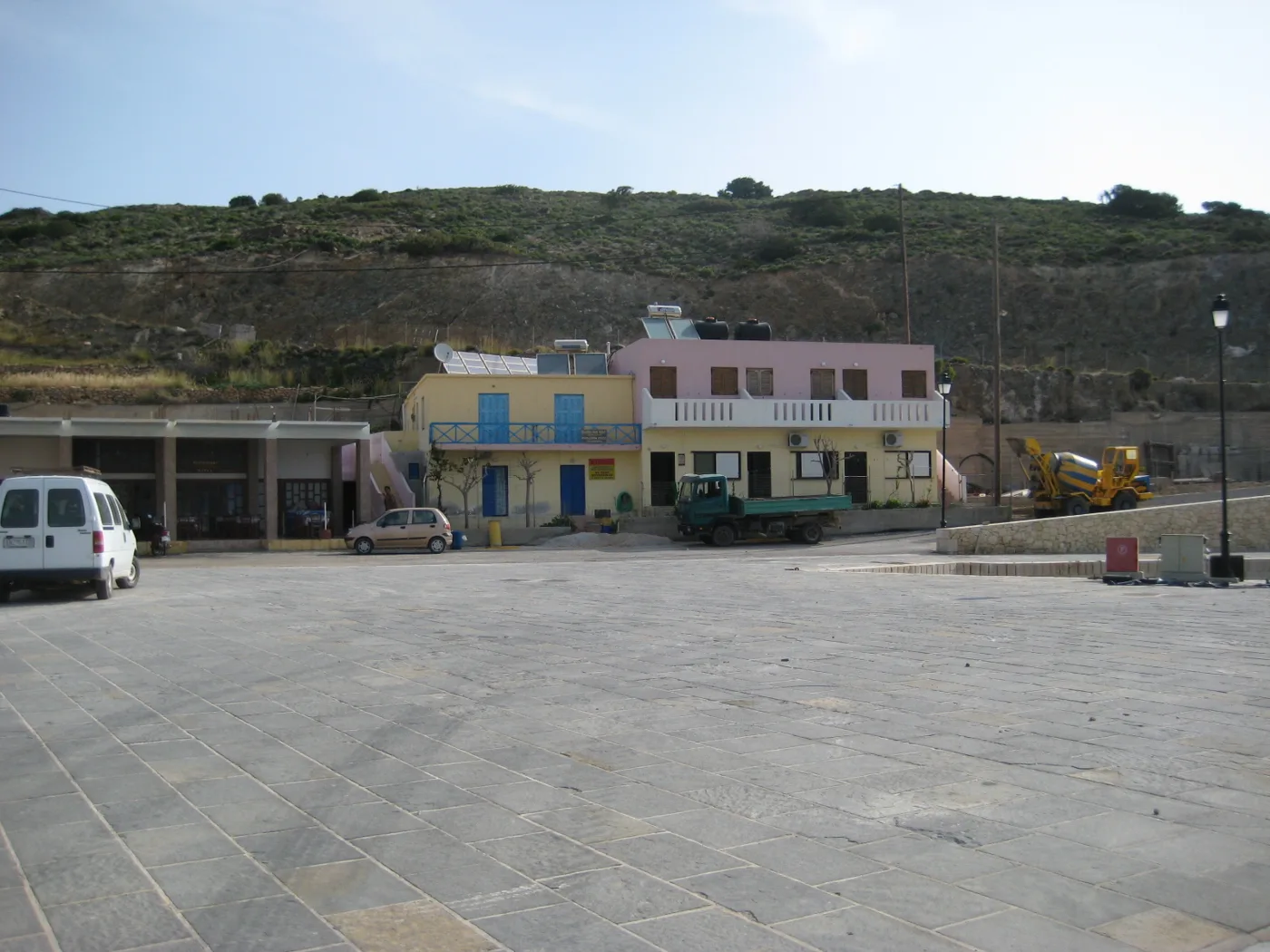
The island’s port.
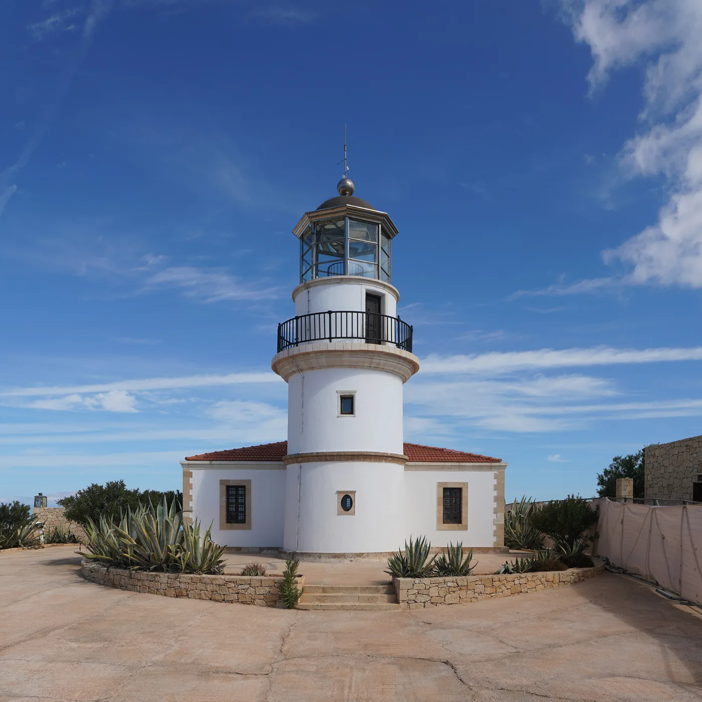
The lighthouse at Ambelos.
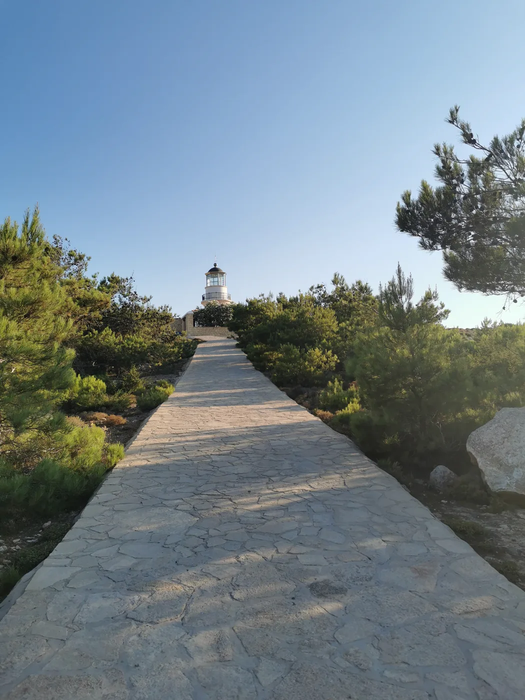
Among the pine trees.
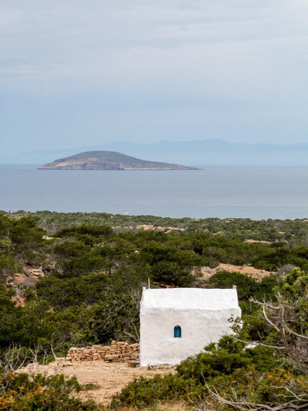
The islet opposite.
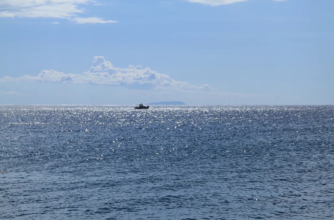
Crete on the horizon.
Photos: Jörg Weingrill (CC BY 2.0), Redeemer (CC BY-SA 4.0), ioannis limnios sekeris (CC BY-SA 4.0), Risa Doulgeridou (CC BY-SA 4.0), trolvag (CC BY-SA 3.0) · Wikimedia Commons
🍽️ What to eat
The few tavernas on the island cook Cretan food: fresh fish, kid goat, dakos, wild greens and cheese. Try the thyme honey of Gavdos, on yoghurt or on a pancake. The shops have the basics, but fruit and vegetables come by boat, so bring anything special you need from Crete.
📅 When to go
June and September are the best months, with warm sea and few people. In August many young people come with tents and the beaches fill up. In May and October the island is almost empty, but there are fewer boats and the wind cancels them more often.
✈️ How to get there from Athens
| How | Duration | From | Notes |
|---|---|---|---|
| Plane, bus and boat | About 1 hour to Chania, 2 hours to Sfakia, 2 hours by boat | Athens airport | The fastest way. You may need a night in Sfakia. |
| Ferry, bus and boat | About 9 hours to Chania, plus Sfakia and the boat | Piraeus | Overnight ferry to Souda, and in the morning on to Sfakia. |
From Ioulianou 50, Piraeus is about 40 minutes by metro and the airport one hour on Line 3. Boats to Gavdos are few and the wind often cancels them, so check the timetables and leave a spare day for the way back. On the island a small bus goes to some beaches, but a car or a scooter helps a lot. If you have not decided where to stay in Crete, read our guide to eastern and western Crete.
🗓️ Three days on Gavdos
Karave and Sarakiniko
You arrive at Karave and go down to Sarakiniko, the long sandy beach with the tavernas. Swimming, food by the sea and in the evening stars above the sand.
Tripiti and the south
Drive to the end of the road towards Vatsiana and walk to Tripiti, to sit in the chair at the southernmost point of Europe. On the way back, swim at Lakkoudi or Korfos.
Ai Giannis, Potamos and the lighthouse
A morning swim at Ai Giannis, among the cedars, and a walk to Potamos. In the afternoon go up to the lighthouse at Ambelos for the sunset over the sea.
Frequently asked questions
Can I visit Gavdos on a day trip?
Yes, in summer, from Chora Sfakion. The morning boat arrives at Karave and the afternoon one goes back, so you have a few hours for Sarakiniko or a quick look around. For Tripiti and the distant beaches you need at least one night.
Where should I stay on Gavdos?
At Sarakiniko or near Karave, so you are close to the sea and the tavernas. Rooms are few, so book early for July and August.
Do I need cash?
Yes, bring plenty with you from Crete. Not every shop takes cards, and the options for withdrawing money on the island are very limited.
How many days do I need?
Three to four days are enough for the beaches, Tripiti and the lighthouse. Many people stay a week or more, to truly relax.
— Kathy