🪪 The island at a glance
📍 Where they are
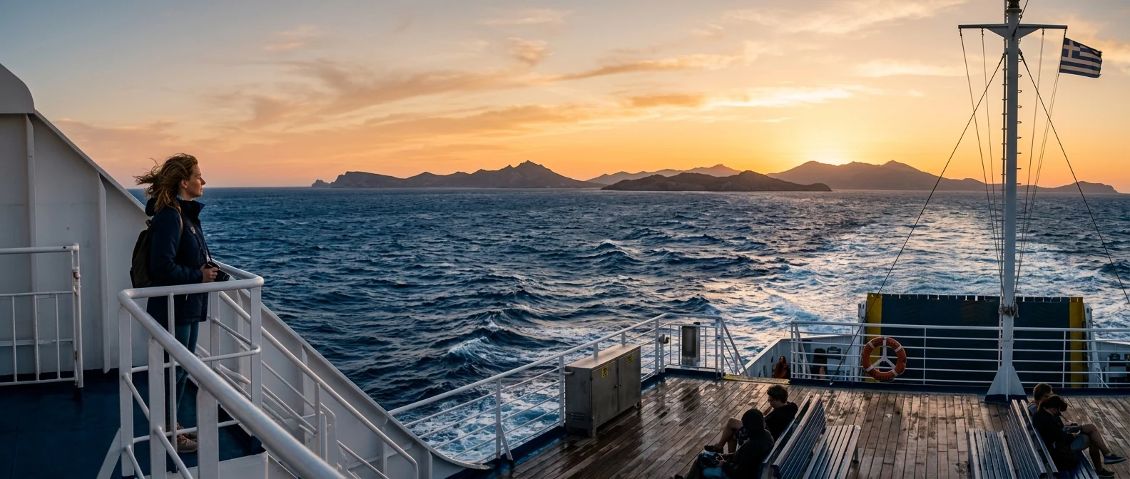
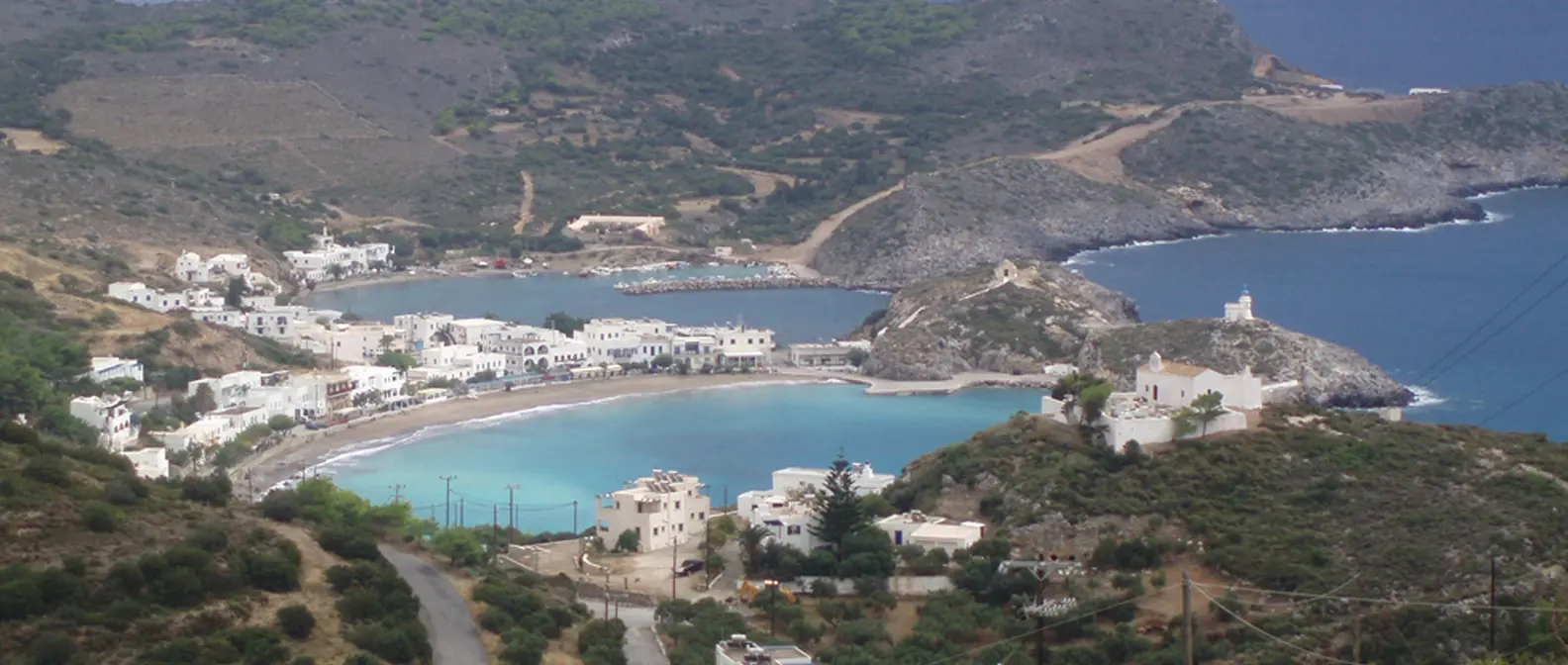
Kythira is a large island south of the Peloponnese, opposite Cape Malea, in the middle of the sea between Laconia and Crete. Administratively it belongs to the Ionian Islands, although it is hundreds of kilometres from Corfu. It has a small airport with flights from Athens, and its port, Diakofti, is linked every day with Neapoli in Laconia, a little over an hour away. The Venetians called it Cerigo, and the name is still heard.
📍 Where Kythira is
Kythira is south of the Peloponnese, opposite Cape Malea, on the way to Crete. The island is shown in red, and in green Athens airport, Piraeus and Neapoli, where you arrive from.
🗺️ The map of the island
Kythira is mountainous, with a plateau in the middle and gorges running down to the coasts. Chora, with the Castle, is at the southern tip, above Kapsali. In the east are Avlemonas and Kaladi, and further up the port, Diakofti. In the west, Mylopotamos with its waters. In the north, Potamos, the biggest village, Paleochora and Agia Pelagia. Distances are long and the roads winding: allow an hour from end to end.
🗺️ Map of Kythira
Chora with the Castle and Kapsali is in the south. Avlemonas and Kaladi are in the east, with Diakofti, the port, further up. Mylopotamos is in the west, and in the north are Paleochora, Potamos and Agia Pelagia. Tap each number to see what it is.
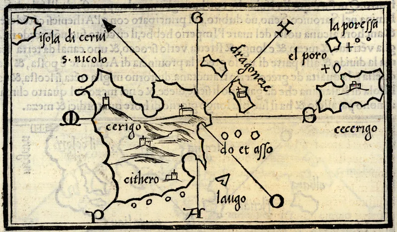
Map: Benedetto Bordone, 1547 (Public domain) · Wikimedia Commons
⚖️ Is it worth it? The pros and cons
Kythira is an island for those who want beaches without crowds, villages with character and quiet. It is not an island for parties or for those who do not want to drive. Here is an honest picture.
📊 At a glance, from 1 to 5
👍 The pros
- Beaches among the best in Greece, almost without people.
- Avlemonas, Chora, Mylopotamos: three villages you will not forget.
- An airport, with a 45-minute flight from Athens.
- Quiet, without mass tourism, with good prices.
- Some of the best honey in Greece.
👎 The cons
- A big, mountainous island, you need a car.
- It is often windy, and some beaches need a dirt road.
- Few flights and ferries, book early.
- Hardly any nightlife.
🏰 Chora, the Castle and Kapsali
The Chora of Kythira is built at the southern tip of the island, a village of white houses, blue windows and lanes that ends at the Venetian Castle, on a rock. The Castle was built in the 13th century and took its present form in the 16th. Inside you will see churches, cannons and, above all, the view: below you the two bays of Kapsali, Chytra in the sea and, on clear days, Crete on the horizon. In Chora there is also the small Archaeological Museum, with the marble lion of Kythira, from the 6th century BC.
Below Chora, Kapsali is two bays side by side, with a sandy beach, boats, tavernas and cafés on the beach. It is the liveliest place on the island in the evening, as lively as a place on Kythira can be. Opposite it, the rocky islet of Chytra, the Egg, hides a sea cave with blue water, where the boats from Kapsali take you when the sea is calm. Eleonora’s falcons nest on its cliffs.
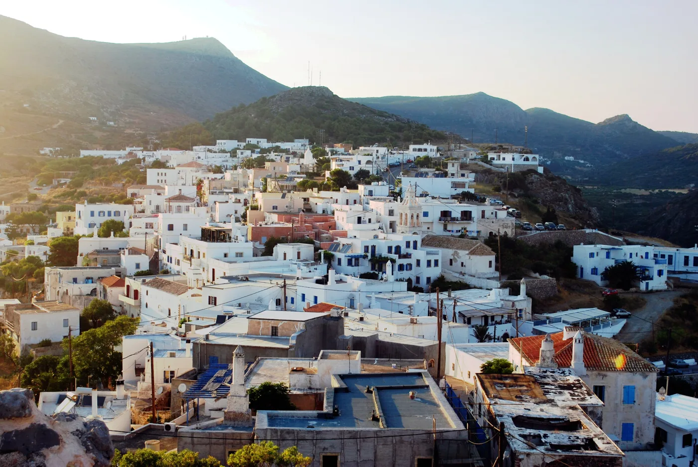
White houses below the Castle.
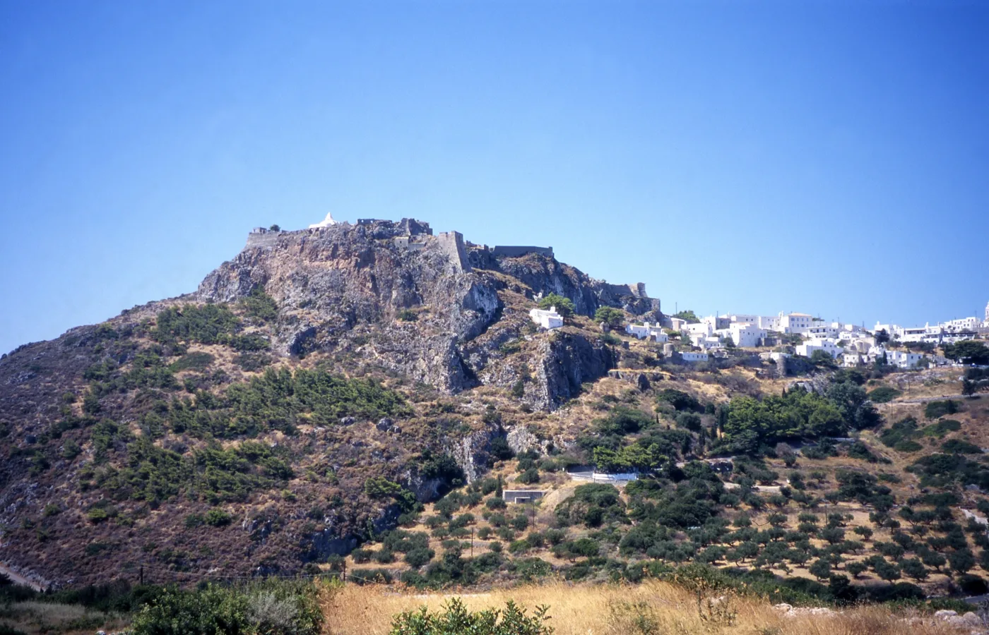
Venetian, on top of the rock.
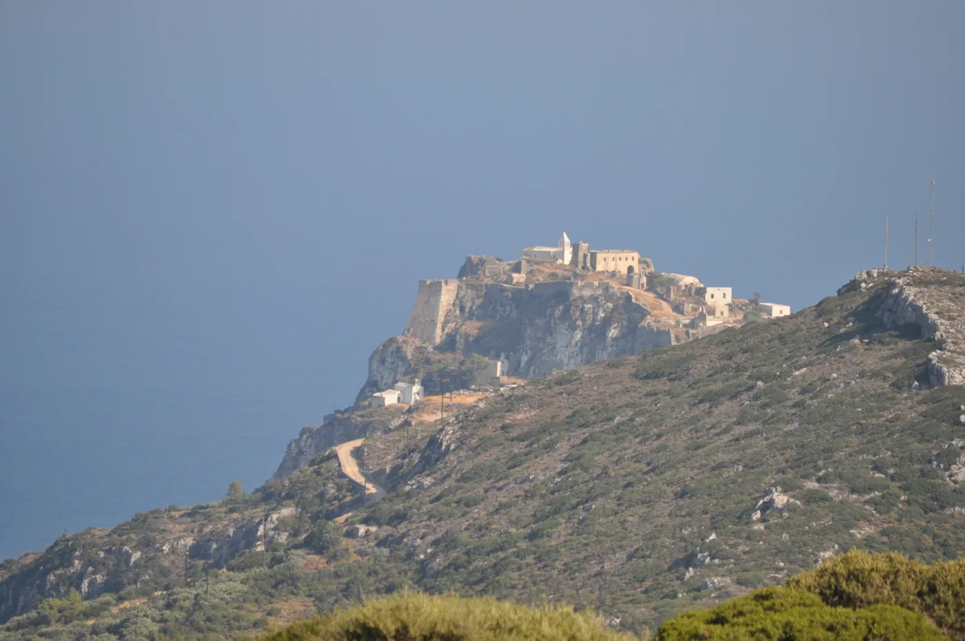
Visible from the whole south.
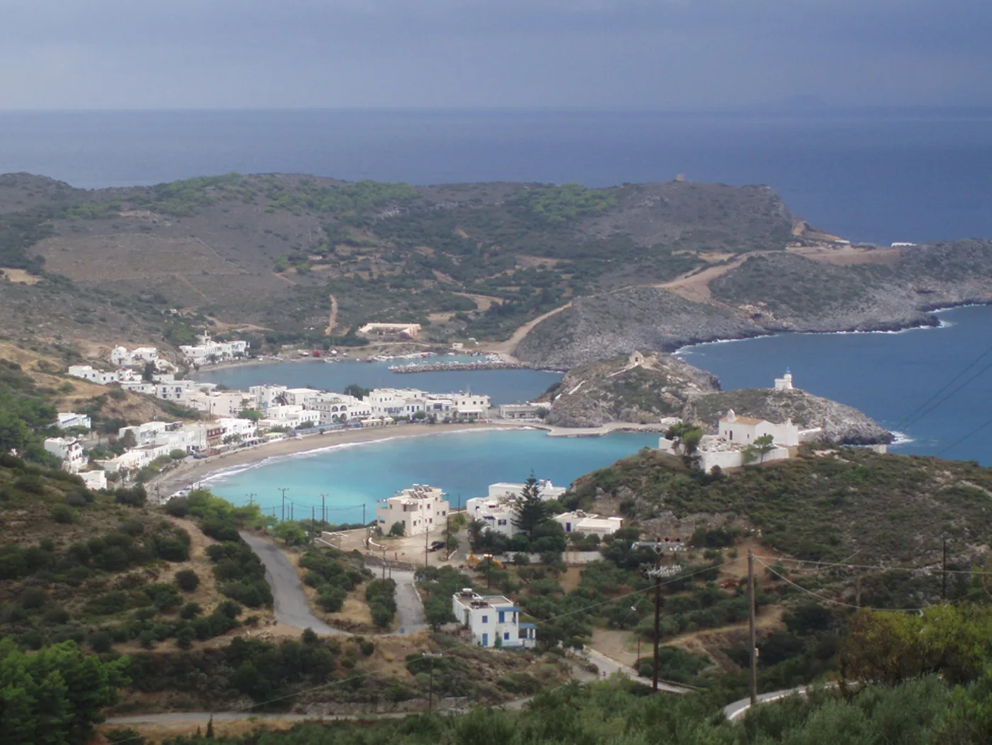
Two bays below Chora.
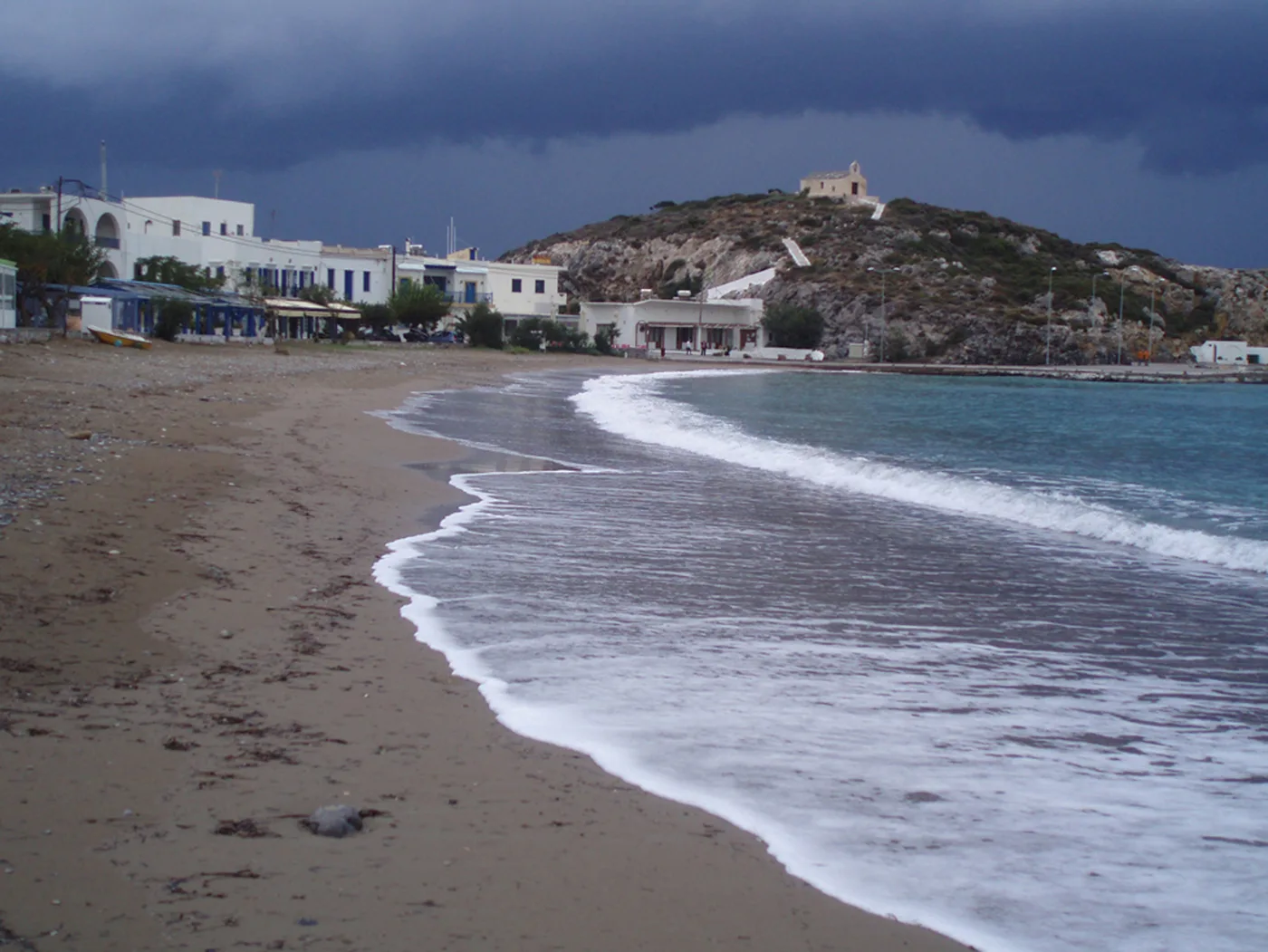
Sand and tavernas.
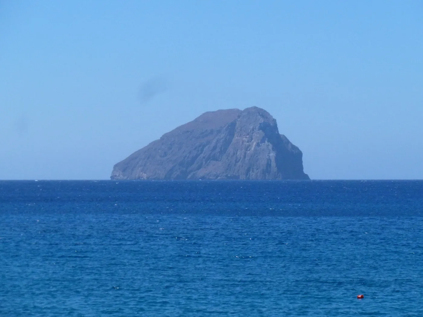
The Egg, with the sea cave.
Photos: Comzeradd (CC BY-SA 3.0), Ingo Mehling (CC BY-SA 3.0), Soviof (CC BY 3.0), Ioannis Fakis (CC BY-SA 4.0), Leonidas Kourmadas (CC BY-SA 4.0) · Wikimedia Commons
Go up to the Castle an hour before sunset. The view over Kapsali and Chytra in the afternoon light is the loveliest image of Kythira. Then go down to Kapsali for dinner.
🐟 Avlemonas and Kaladi
Avlemonas is the village you see in the photos of Kythira: white houses with blue windows on the rocks, a little bay like a natural pool where you dive in from the rocks, boats, and fish tavernas right by the water. At its edge, a small 16th-century Venetian fort guarded the bay. Next to it is the long sandy beach of Paleopoli, where, according to the myth, Aphrodite rose from the foam of the sea, and where the ancient city and its port, Skandeia, once stood.
A little to the west, Kaladi is the island’s best-known beach: three small coves with pebbles and blue water, below high cliffs, with a big rock in the sea. You go down by steps, many of them, and there is nothing above, no umbrellas and no canteen. Take water and shade.
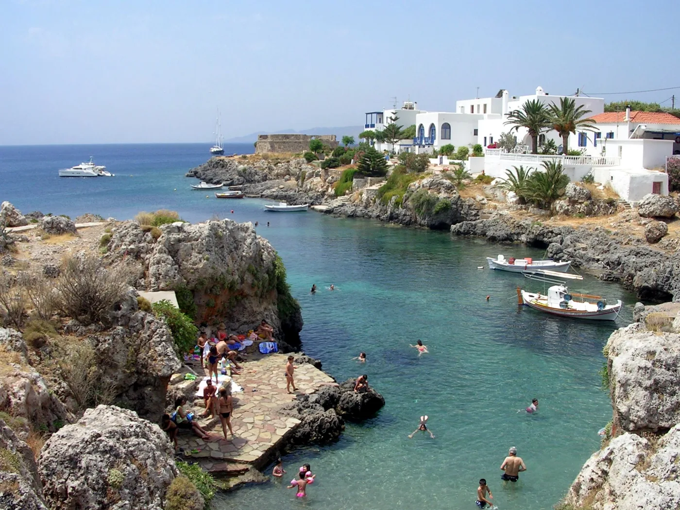
The little bay, like a pool.
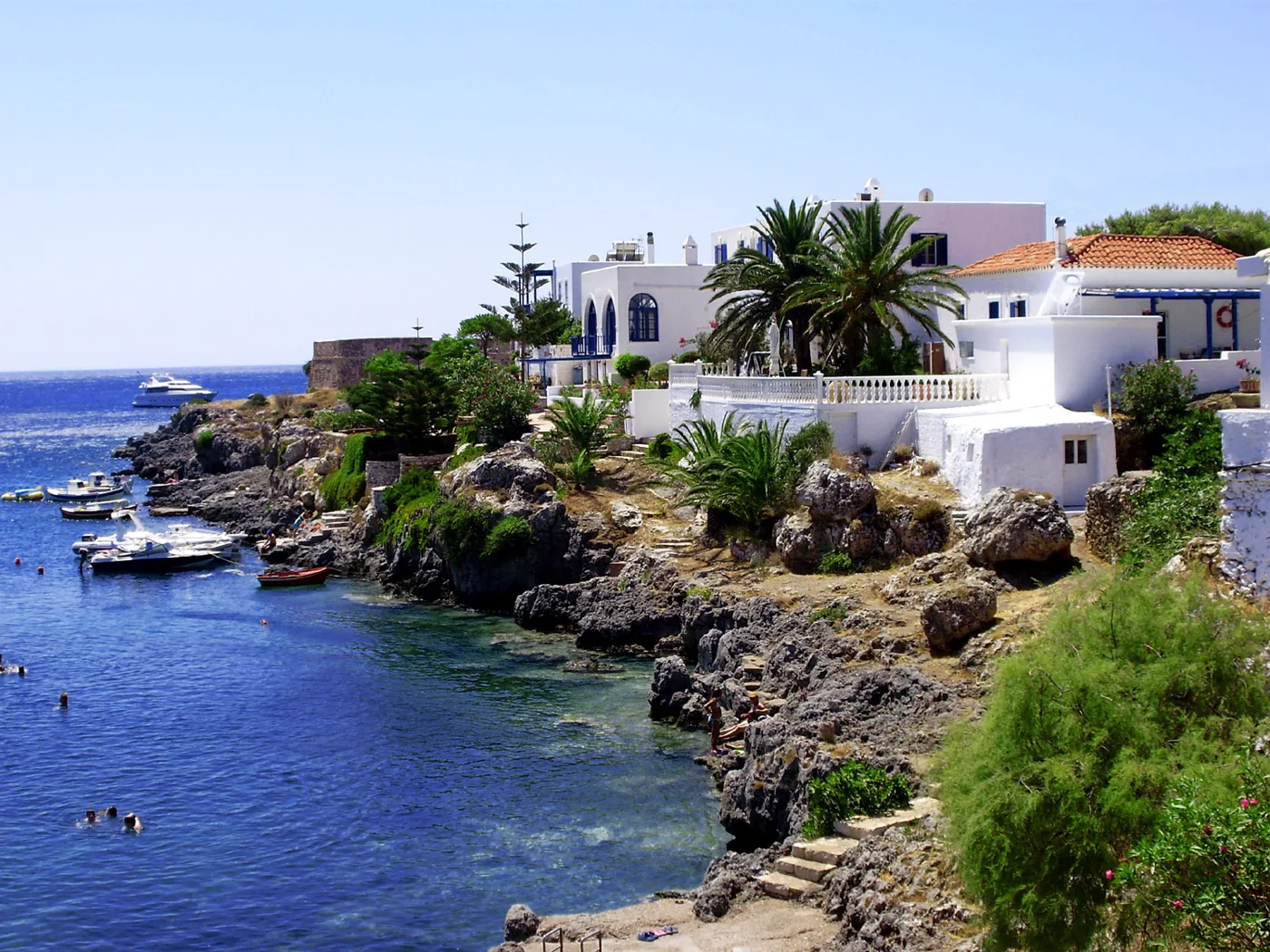
On the rocks, next to the waves.
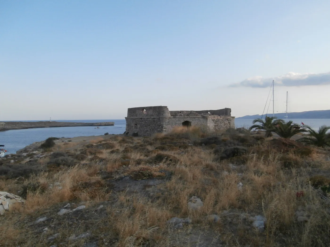
Venetian, from the 16th century.
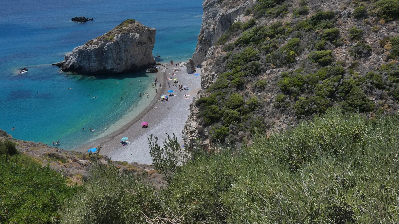
The island’s best-known beach.
Photos: Lapost (CC BY-SA 3.0), G Da (CC BY-SA 3.0), C messier (CC BY-SA 3.0), Dionisio Calucci (CC BY-SA 4.0) · Wikimedia Commons
Behind the beach of Paleopoli, among the fields, are the few ruins of ancient Skandeia. The sanctuary of Aphrodite was higher up, on the hill, where the church of Agios Kosmas stands today, built with its stones.
🌳 Mylopotamos, Paleochora and Potamos
Mylopotamos, on the west side, is the green village of Kythira: plane trees, a square with running water, ducks and cafés. From here a path goes down the ravine past the old watermills, more than twenty of them, to the Fonissa waterfall, which falls into a pool among the trees. A little further down, Kato Chora is a Venetian castle-village, with the lion of Saint Mark above the gate and small churches, and beyond it, in the rock above the sea, the cave of Agia Sofia, with Byzantine frescoes at its entrance.
In the north, Paleochora was the Byzantine capital of the island, hidden above a gorge so that pirates would not see it. In 1537 Barbarossa found it, and sacked it. Today you walk among its ruins and churches, with the cliff below. Potamos, the biggest village on the island, has a square with cafés under the trees and, every Sunday morning, a market with local products. Agia Pelagia, the old port, is a village with hotels and beaches, and Diakofti, today’s port, has a beach with white sand and shallow blue water, like the Caribbean.
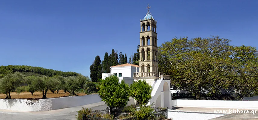
Plane trees, water and a bell tower.
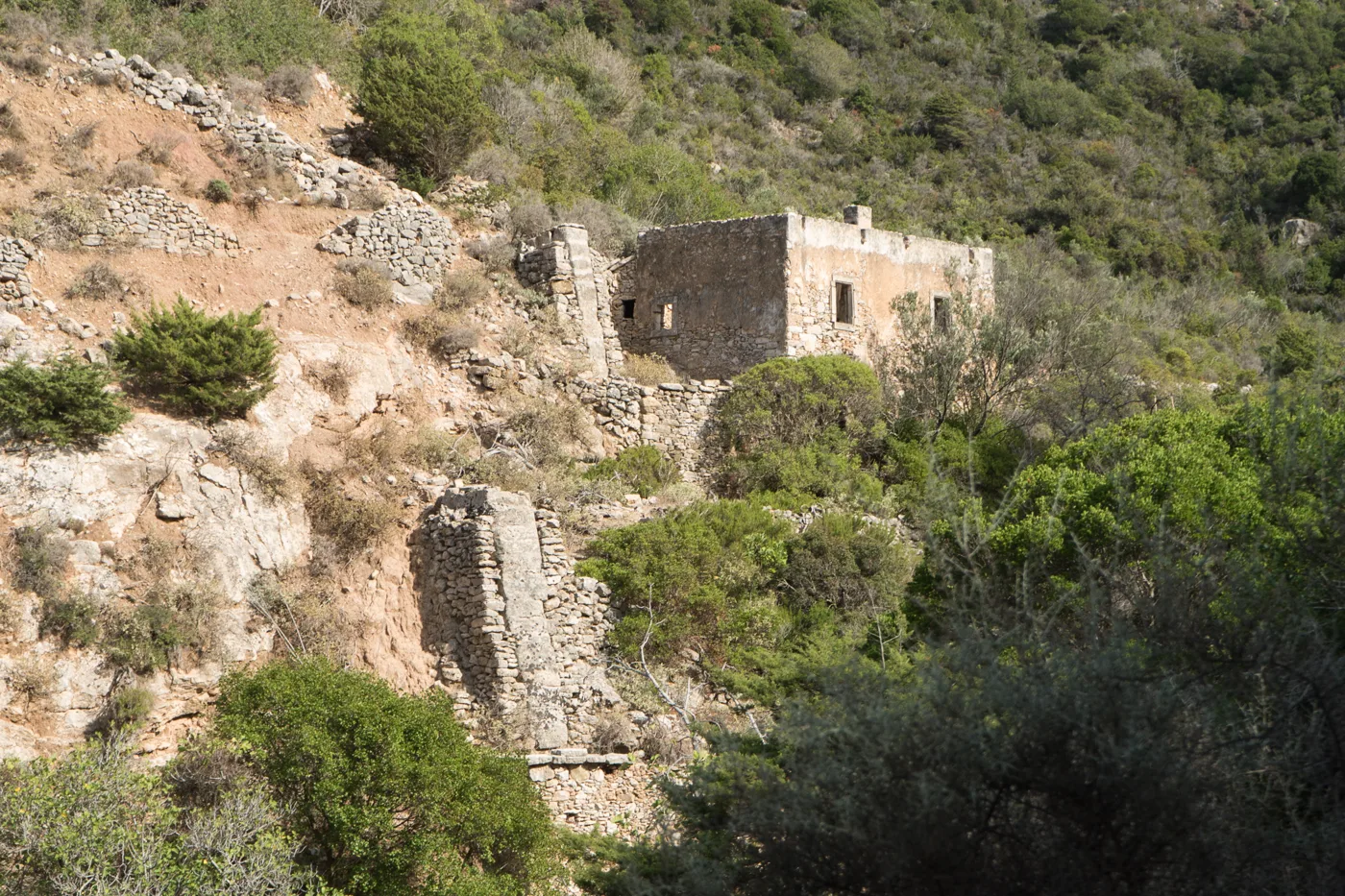
In the ravine, towards the waterfall.
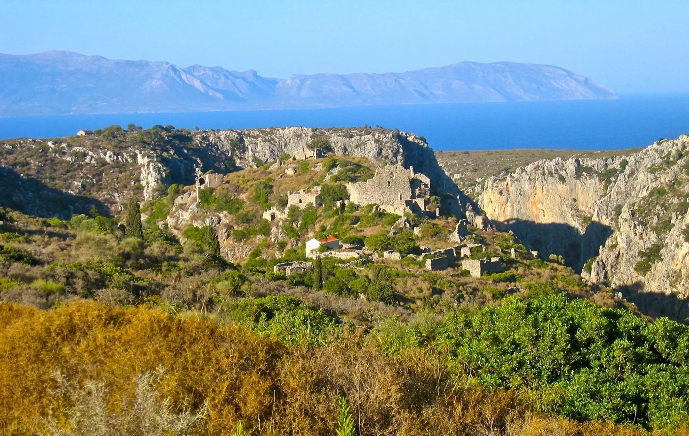
The Byzantine capital, above the gorge.
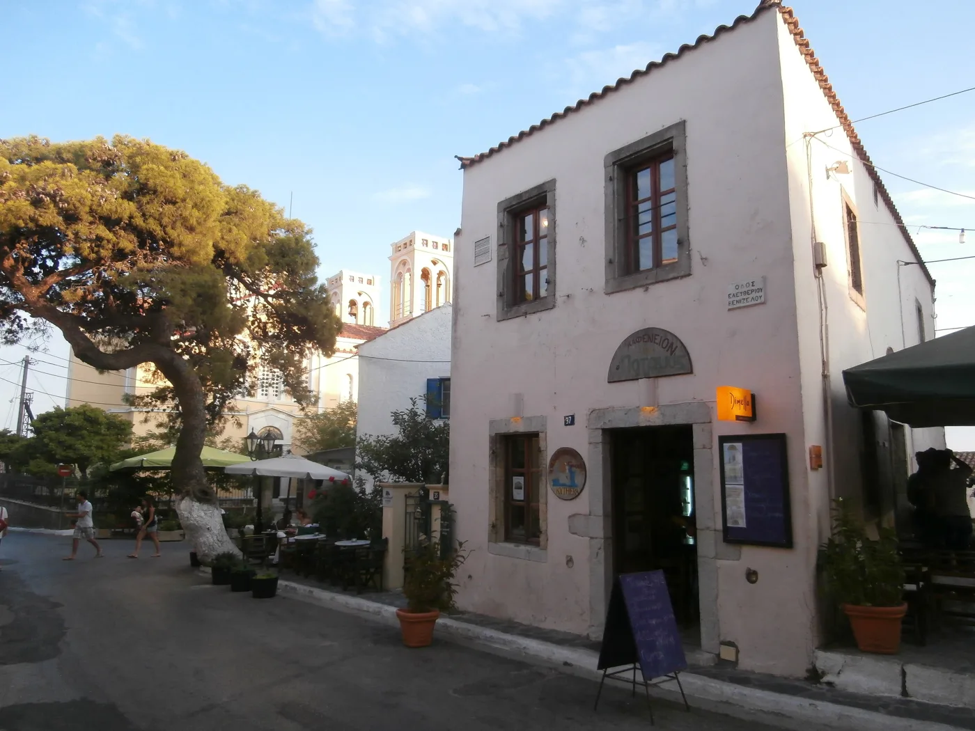
The biggest village on the island.
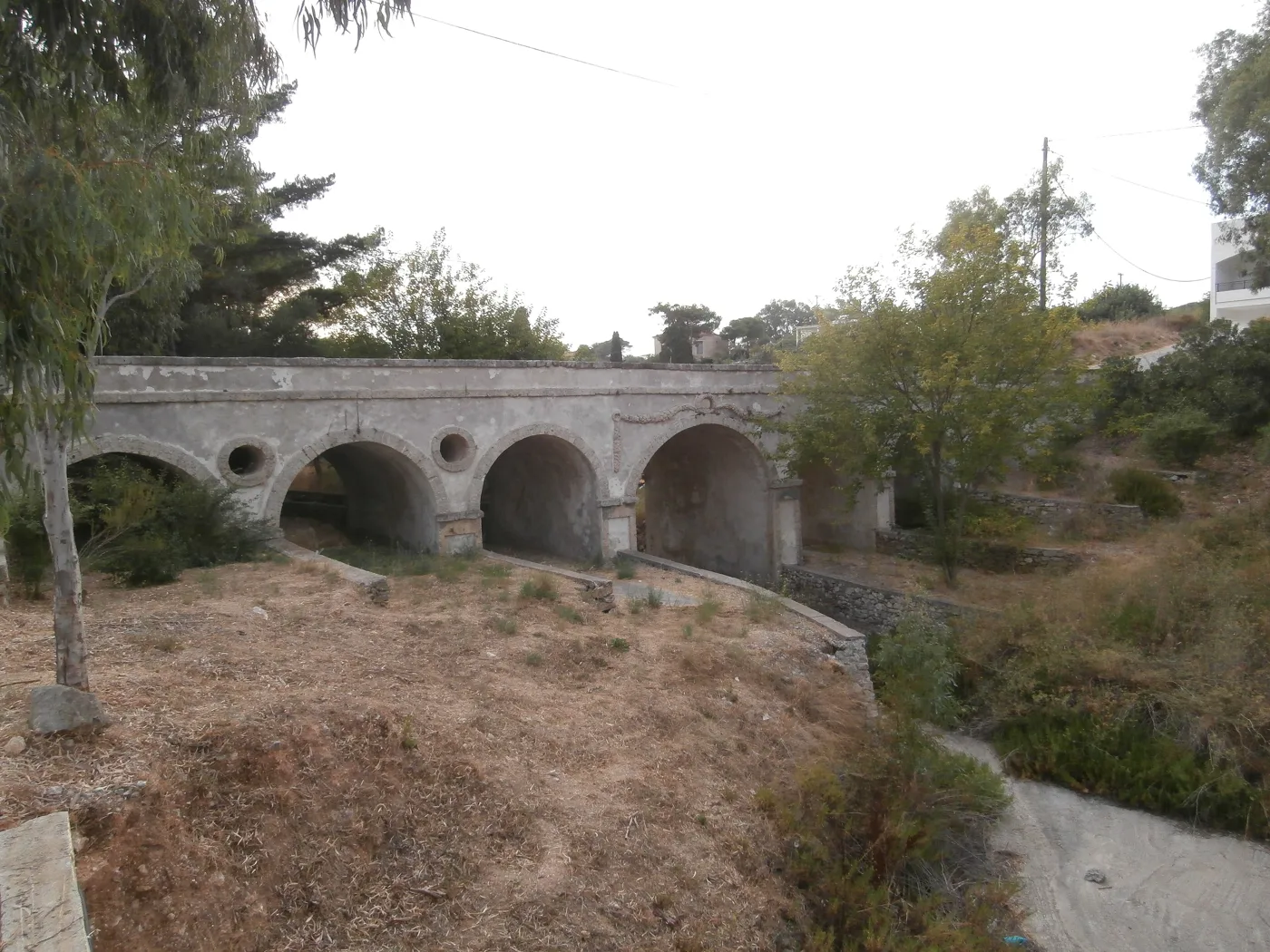
From the British years.
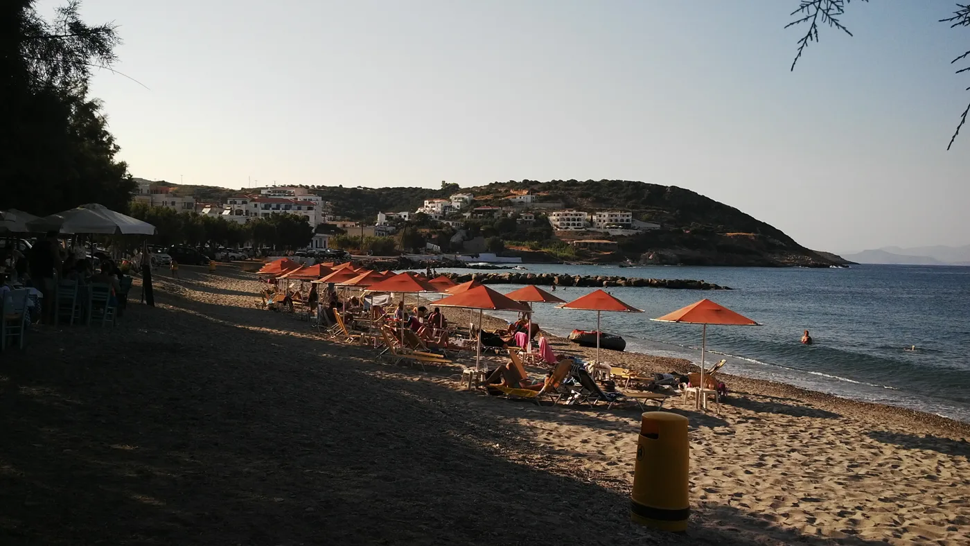
The village and the beaches of the north.
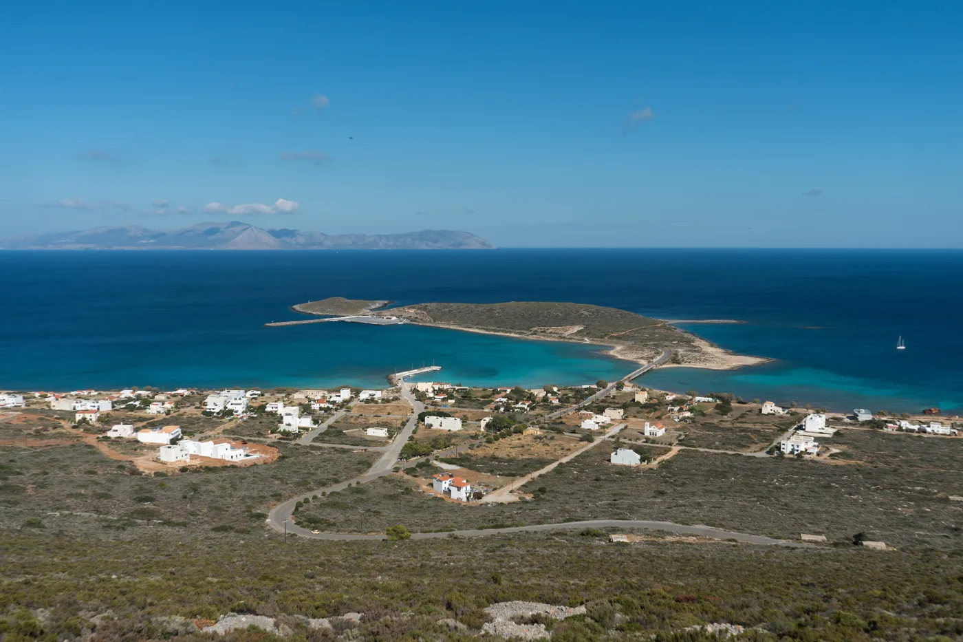
The port, with white sand.
Photos: Dimitris7gr (CC BY-SA 3.0), Alexey Komarov (CC BY-SA 4.0), Dr mercator (CC BY-SA 3.0), C messier (CC BY 3.0), FocalPoint (CC BY-SA 4.0) · Wikimedia Commons
🏖️ The beaches
Kythira has beaches for every wind, and that matters, because it is often windy. When the north wind blows, go south, to Kapsali or Chalkos. When the south wind blows, go north, to Agia Pelagia or Platia Ammos. On the east coast, Kaladi, Paleopoli and Diakofti are usually calm.
- Kaladi: pebbles, rocks and blue water, with steps.
- Avlemonas: natural pools among the rocks.
- Paleopoli: a long sandy beach, quiet.
- Diakofti: white sand and shallow water, good for children.
- Fyri Ammos: red pebbles, one in the east and one in the north.
- Chalkos: small, in the south, by dirt road.
- Kapsali: sand, tavernas and boats, below Chora.
The main roads are good, but for many beaches, such as Chalkos or Fyri Ammos, you need a dirt road. A small car is enough, but go slowly, and ask in the village before taking an unknown road.
🍽️ What to eat
Kythira has some of the best-known thyme honey in Greece, and you will notice it in the sweets: try rozedes, small triangular sweets with almond and honey, and xerotigana. The rusk of Potamos, from the old bakery, goes with everything. In the tavernas of Avlemonas and Kapsali you will find fresh fish, and inland kid goat and wild greens. The island’s olive oil is very good, and after the meal drink fatourada, the local liqueur with cinnamon and cloves.
📅 When to go
The best time is May, June and September: warm sea, empty beaches, everything open. In July and August the island fills up, mainly with Greeks and Kythirians from Australia coming back for the summer, but it never reaches the crowds of the Cyclades. In winter most things close.
✈️ How to get there from Athens
| How | Duration | From | Notes |
|---|---|---|---|
| Plane | About 45 minutes | Athens airport | Small plane, few flights. Book early. |
| Car or bus and ferry | About 4–5 hours + 1 hour 15 minutes | Athens → Neapoli in Laconia | The most common way, with your own car. A ferry every day. |
| Ferry | About 6–7 hours | Piraeus | A few times a week, mainly in summer. |
From Ioulianou 50 you go to the airport on Line 1 to Monastiraki and a change to Line 3, or straight to Piraeus on Line 1. For Neapoli, the KTEL buses of Laconia leave from the Kifisou station. On the island you need a car: the buses are few, and Diakofti and the airport are far from Chora. To compare ferry and plane, see our guide to ferry or plane.
🗓️ Three days on Kythira
Chora, the Castle and Kapsali
Morning at the Castle of Chora, with the view over Kapsali and Chytra, and a stroll through the lanes. A swim and a meal at Kapsali, and if the weather is good, a boat trip to the cave of Chytra. Sunset from the Castle.
Avlemonas and Kaladi
Morning at Kaladi, before it fills up. Midday in Avlemonas, a swim in the natural pools and fish by the water. Afternoon on the long sandy beach of Paleopoli, where Aphrodite was born.
The north
Mylopotamos: coffee in the square, a walk to the waterfall, Kato Chora and the cave of Agia Sofia. Then Paleochora and Potamos, and a swim at Agia Pelagia or Diakofti.
Frequently asked questions
Where should I stay on Kythira?
In Chora or Kapsali, for the Castle, the view, the tavernas and the evenings. In Avlemonas, for the loveliest village and the sea next to you. In Agia Pelagia, for hotels with a beach. Wherever you stay, you will be driving.
Do I need a car?
Yes, definitely. The island is big, the villages and beaches are scattered, and the buses are very few. Book a car in advance, especially in August, so it is waiting for you at the airport or at Diakofti.
Was Aphrodite born on Kythira?
According to Hesiod, yes: the goddess rose from the foam of the sea first at Kythira and then went to Cyprus. Her sanctuary was above Paleopoli. Cyprus tells its own version, but the Kythirians have no doubts.
How many days do I need?
Four to five days for Chora, Avlemonas, Kaladi, Mylopotamos and the north. Kythira takes time; it is not an island to see in a hurry.
— Kathy