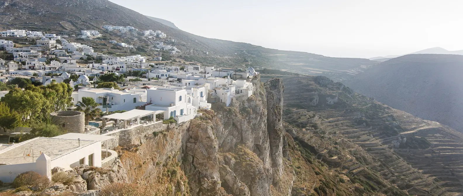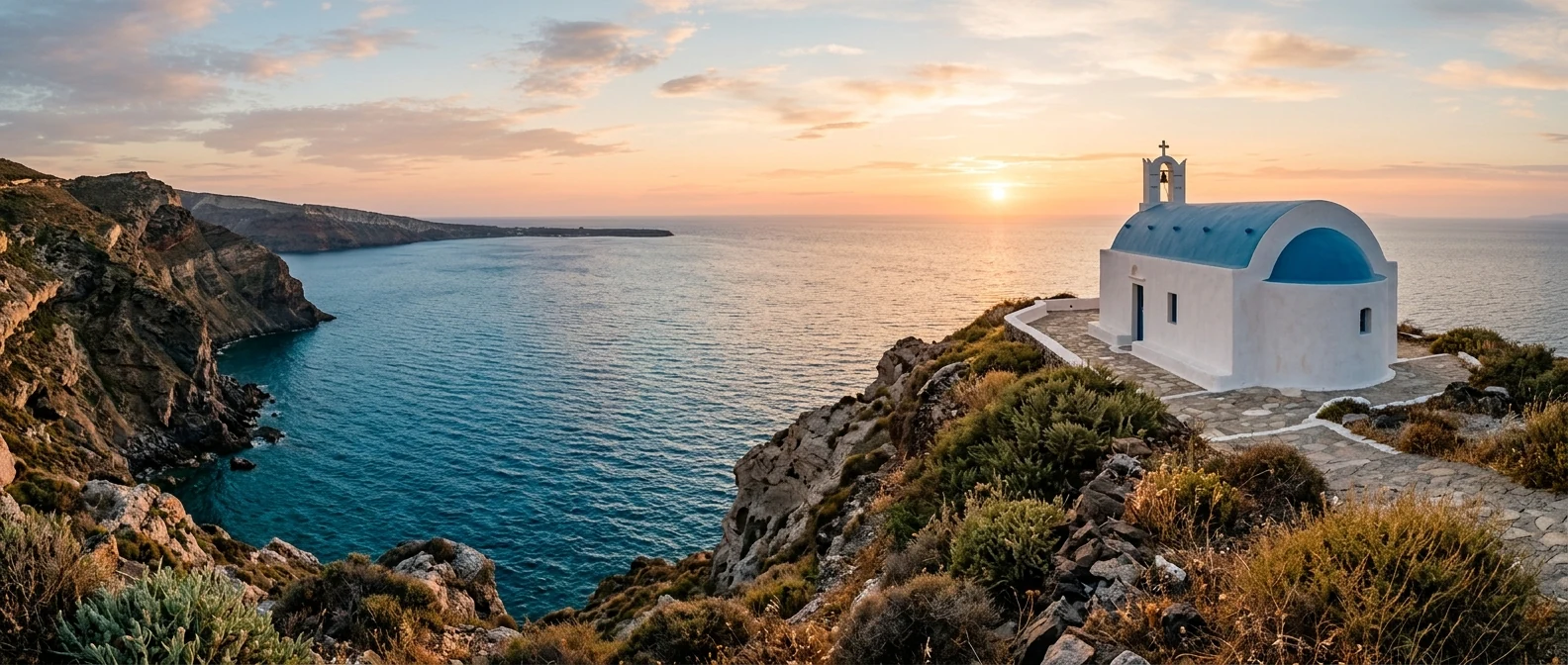
🪪 The island at a glance
📍 Where it is
Donousa is the easternmost island of the Small Cyclades, about 16 kilometres east of Naxos and north of Amorgos. Ferries from Piraeus take 6 to 7 hours, via Paros and Naxos. From Naxos there are also smaller boats that stop at the other islets, such as Koufonisia, Iraklia and Schinousa.
📍 Where Donousa is
Donousa is the easternmost island of the Small Cyclades, between Naxos and Amorgos. The island is shown in red, and in green Piraeus, Naxos and Amorgos, where the ferries come from.
🗺️ The map of the island
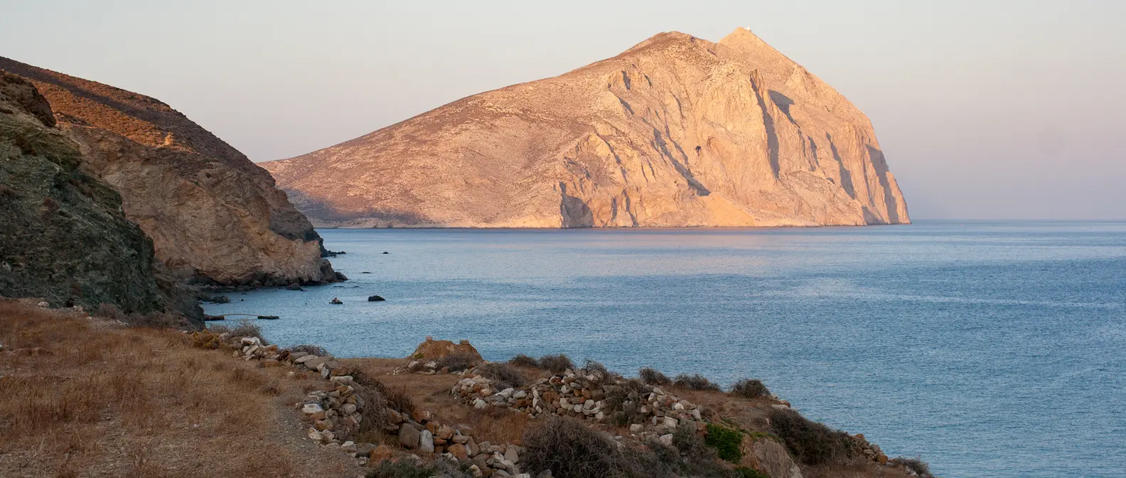
Donousa is small and hilly, with bare hills, bushes and few trees. The harbour, Stavros, is the biggest village, and a road goes from there to the small villages of Messaria, Mersini and Kalotaritissa. The old footpaths have been cleared and marked, and with them you can reach almost everywhere on foot.
🗺️ Map of Donousa
Donousa is small and hilly. The harbour, Stavros, is on the south-west coast, with Kedros next to it. In the south are Vathy Limenari and Livadi, above them Messaria and Mersini, and to the east Fokospilia. Papas rises in the middle, and in the north are Kalotaritissa and Ammoudi. Tap each number to see what it is.
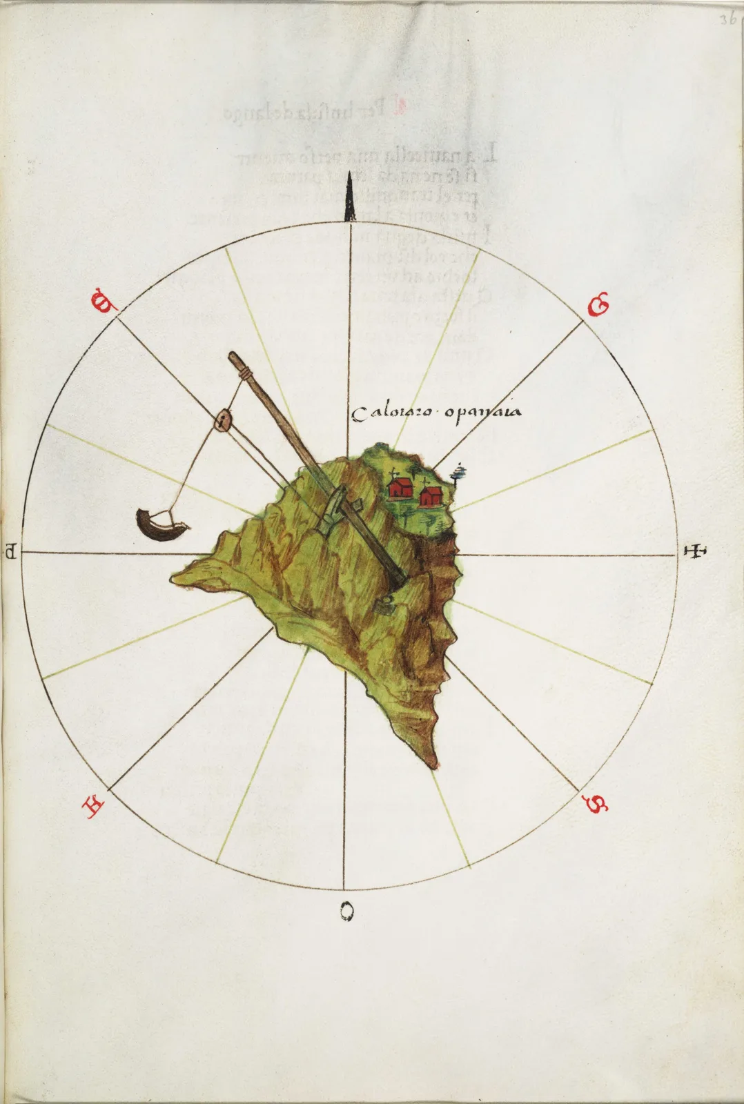
Map: Bartolomeo dalli Sonetti (Public domain) · Wikimedia Commons
⚖️ Is it worth it? The pros and cons
Donousa is for people who want peace, sea and walking. Here is an honest picture.
📊 At a glance, from 1 to 5
👍 The pros
- One of the quietest islands in the Cyclades.
- Sandy beaches with clear blue water, such as Kedros and Livadi.
- Marked footpaths linking villages and beaches.
- The harbour, the tavernas and the first beach are all in the same place.
- Friendly locals and a slow pace.
👎 The cons
- Few ferries, especially outside summer.
- Not much to see apart from nature and the sea.
- Very little shade on the beaches and the paths.
- Few rooms and few shops.
🏘️ Stavros and the harbour
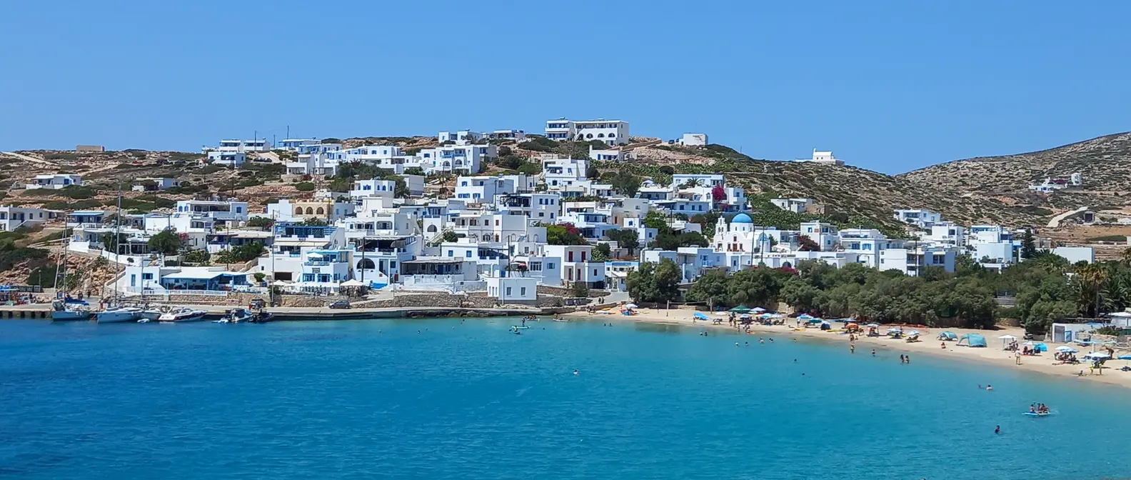
Stavros is the harbour and the heart of the island. The white houses climb the hillside above a bay with a sandy beach, while the waterfront has the tavernas, the cafés and a mini market. The church of the Holy Cross, with its blue dome, gave the village its name. When the ferry arrives, half the village comes down to the pier, and it is the liveliest moment of the day.
At Vathy Limenari, to the south, archaeologists found a fortified settlement from the Geometric period, the 9th and 8th centuries BC. Its pottery is now in the Archaeological Museum of Naxos.
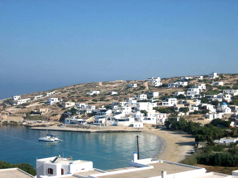
The village and the harbour.
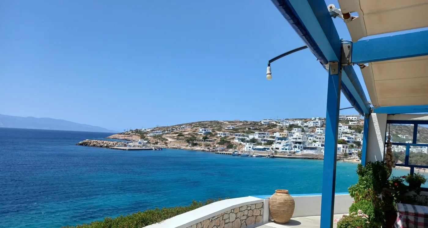
A view over the bay.
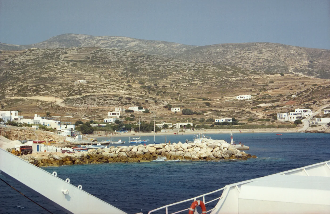
Bare hills around the pier.
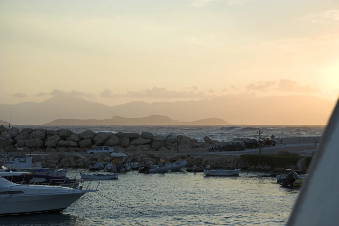
Naxos on the horizon.
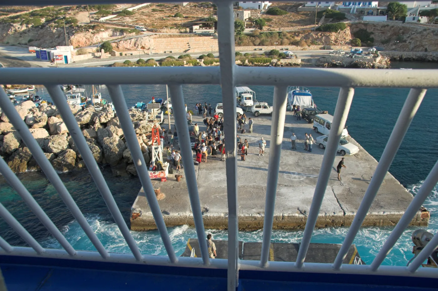
The big moment of the day.
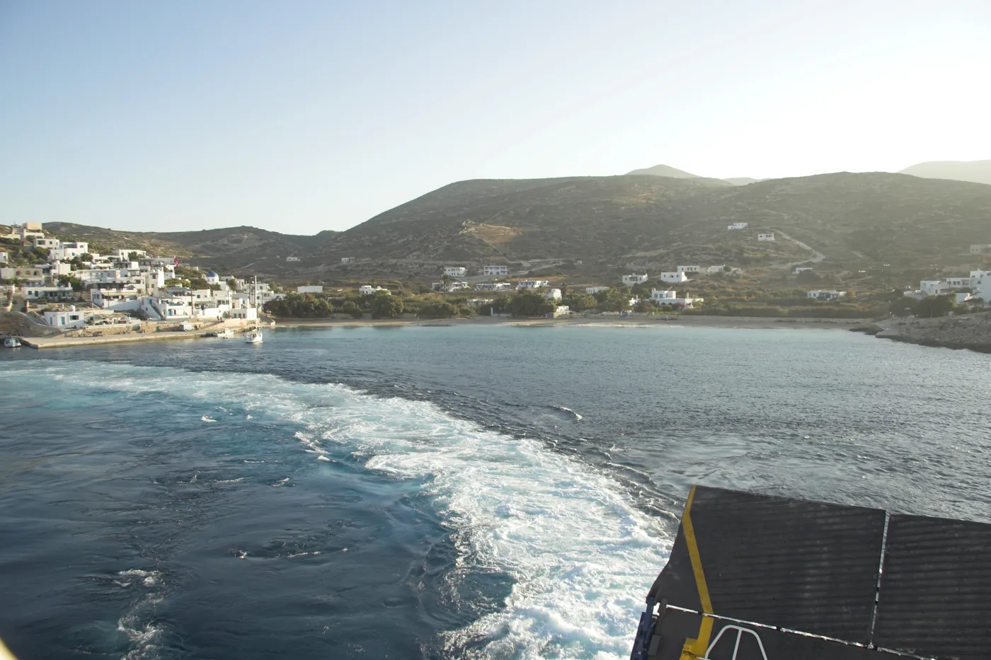
Stavros from the sea.
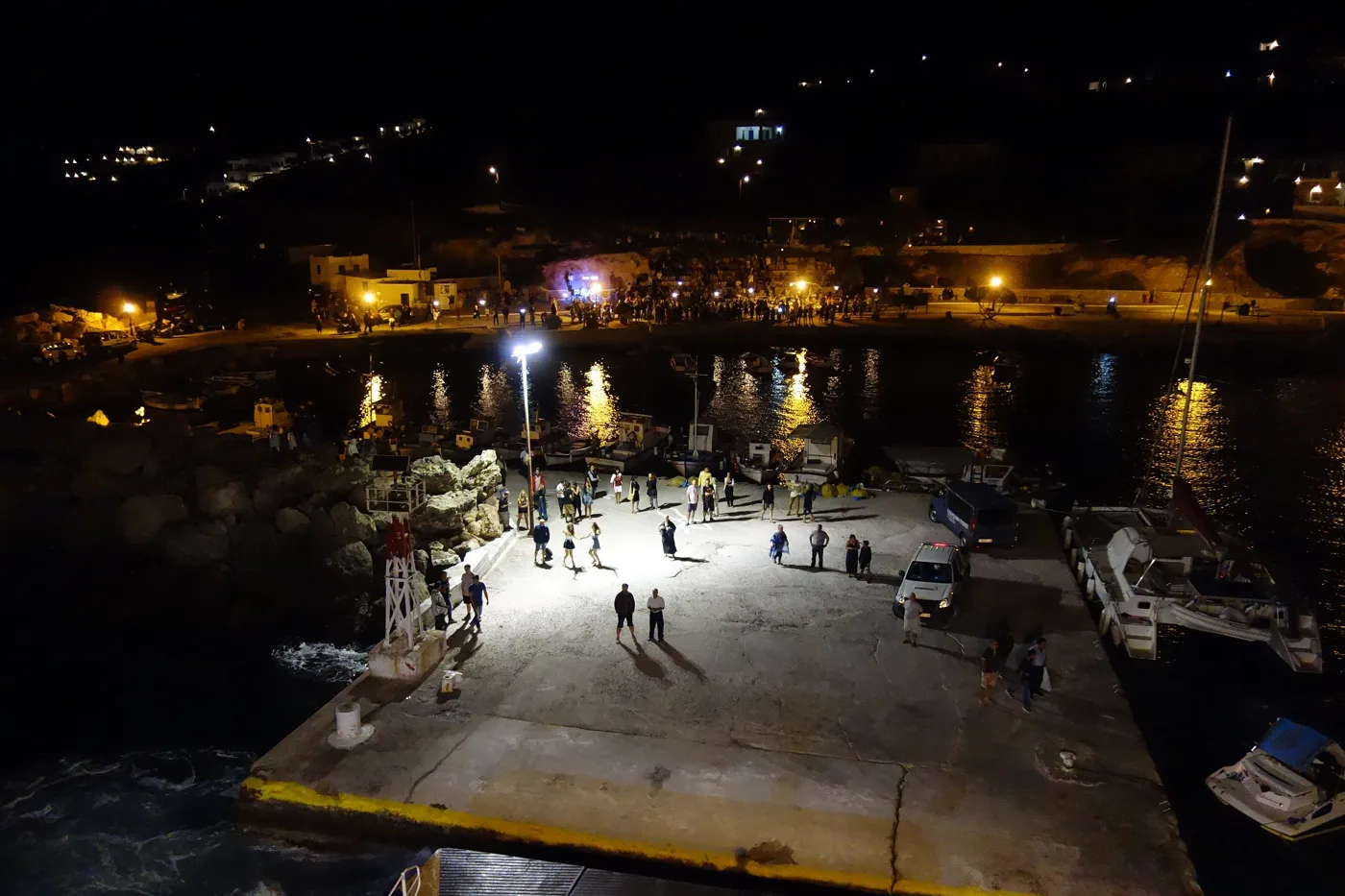
A celebration in the harbour.
Photos: Av-fuzzy (CC BY-SA 2.0 de), G-Lignum (CC BY-SA 4.0), Zde (CC BY-SA 4.0) · Wikimedia Commons
🏖️ The beaches
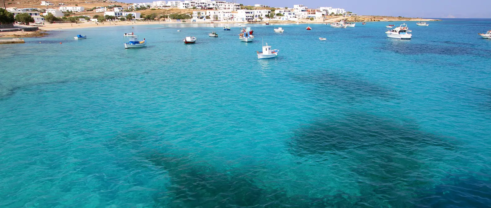
The beaches of Donousa have sand and clear blue water. In the harbour is the sandy beach of Stavros, and a 15-minute walk away is Kedros, the best-known beach, with cedars and a Second World War wreck in the water that you can see with a mask. To the east, Livadi is the biggest sandy beach, reached by a footpath from Mersini. In the north, Kalotaritissa has a quiet bay with boats.
- Stavros: sandy beach in the village, next to the tavernas.
- Kedros: sand, cedars and a wreck for snorkelling.
- Livadi: the biggest sandy beach, reached by a path.
- Kalotaritissa: quiet bay in the north.
- Ammoudi: small beach on the north-west coast.
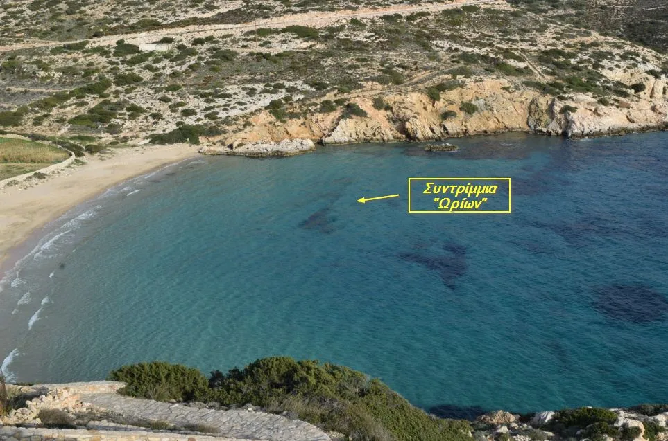
The wreck in the water.
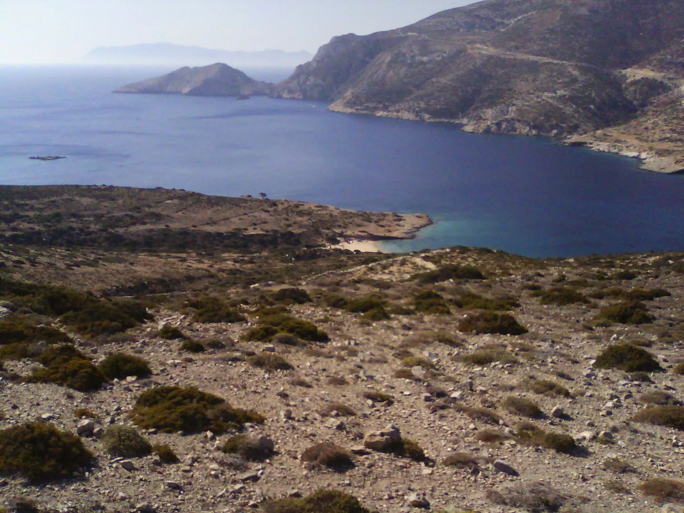
The bay in the north.
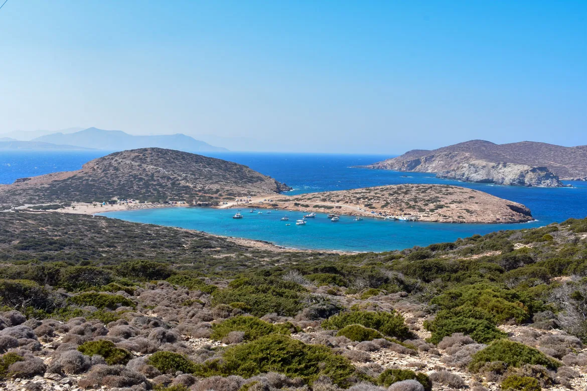
An islet in front of the beach.
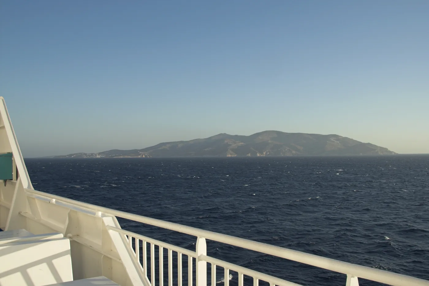
Donousa in the morning.
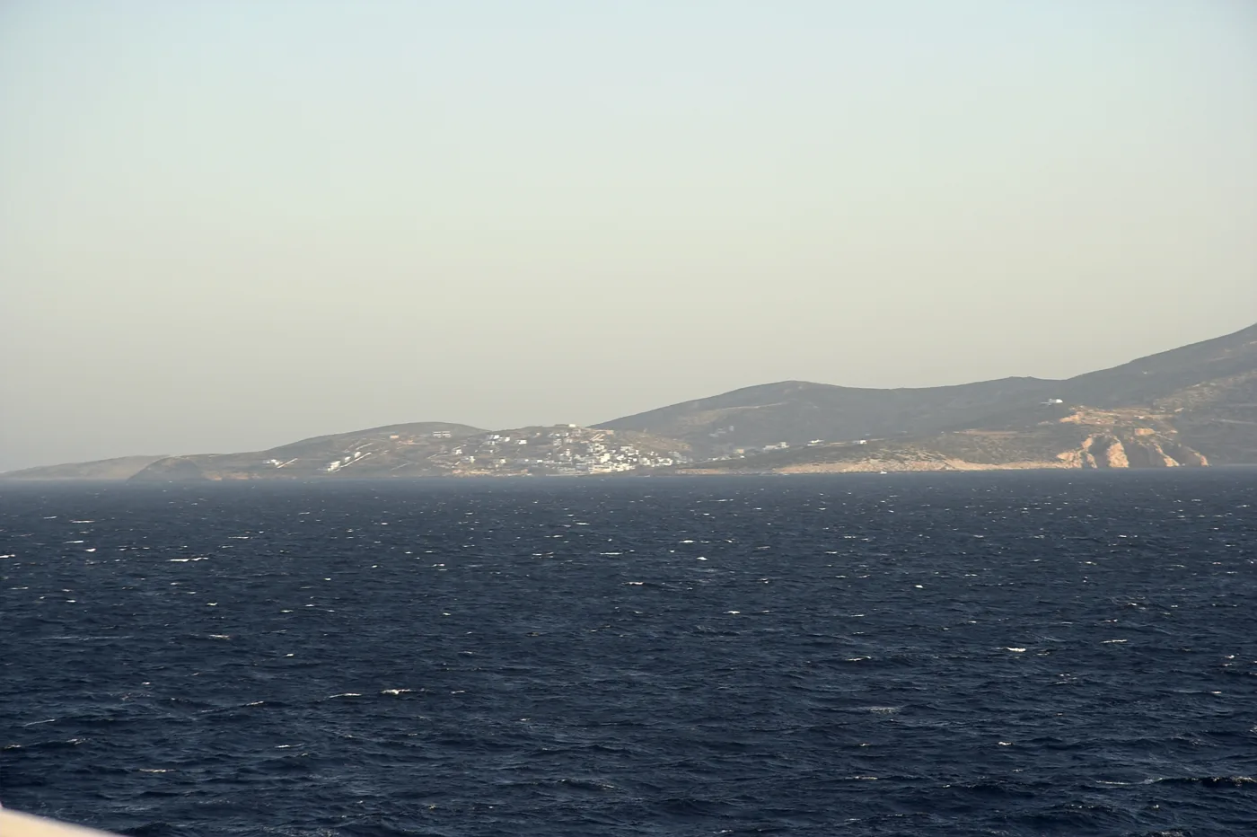
Hills and houses.
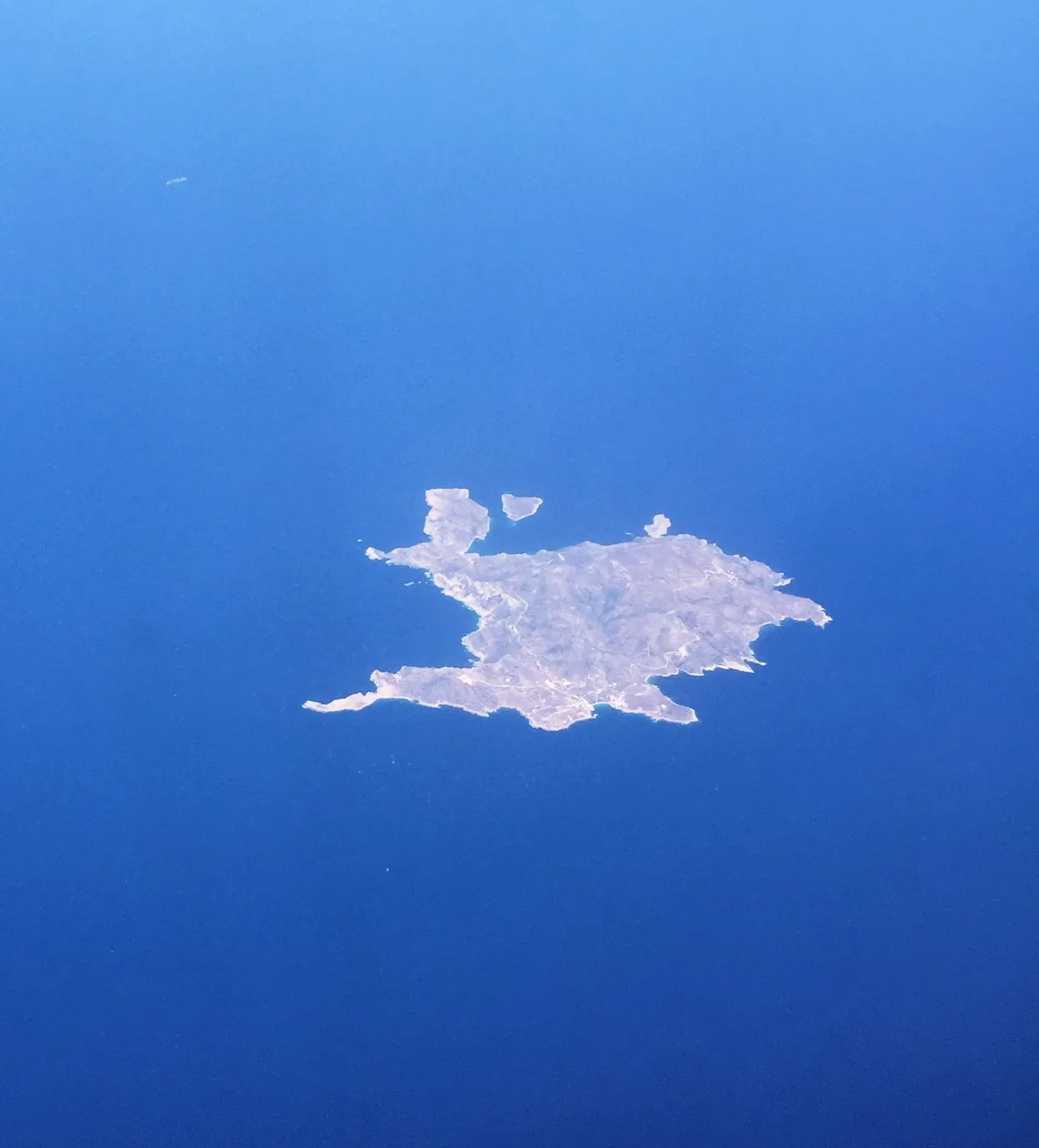
The whole island.
Photos: Giovcri (Public domain), Miltos Sakellariou (Attribution), Ntaskos (CC BY-SA 4.0), Zde (CC BY-SA 4.0), Olevy (CC BY-SA 4.0) · Wikimedia Commons
The island’s old footpaths are marked with numbers and signposts, and they link the villages with the beaches. Start early in the morning, take plenty of water and a hat, and wear good shoes, as there is hardly any shade anywhere.
🐟 Footpaths, Fokospilia and the seabed
Donousa is ideal for walking. From Mersini one path goes down to Livadi, and another leads to Fokospilia, a sea cave where seals once found shelter. In the middle of the island, from the top of Papas, the view reaches all the Small Cyclades, Naxos and Amorgos.
Under the water, the rocks of Donousa are full of fish: scorpionfish, wrasse, rabbitfish, sand-dwelling fish and shoals of small fish. A mask and a snorkel are the best souvenir you can bring.
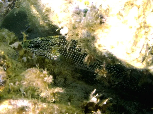
A fish of the rocks.
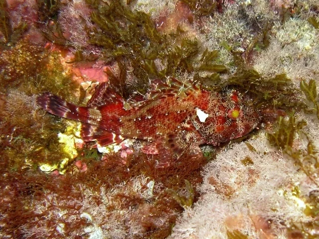
Hidden in the rock.
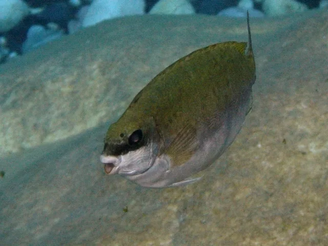
In the shallows.
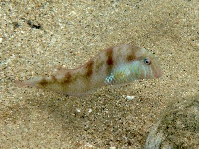
It lives on the sandy seabed.
Photos: Roberto Pillon (CC BY 3.0) · Wikimedia Commons
🍽️ What to eat
The few tavernas in Stavros and the villages cook simply and well: fresh fish, octopus, local kid goat, wild greens and cheese from the island’s flocks. At the café, ask for an ouzo or a raki with a meze. The bakery and the mini market have the basics for a picnic on the beach.
📅 When to go
June and September are the best months, with warm sea and few people. In August the island fills up and rooms are booked early. Spring and October are ideal for walking, but there are fewer ferries and many shops are closed.
✈️ How to get there from Athens
| How | Duration | From | Notes |
|---|---|---|---|
| Ferry from Piraeus | About 6 to 7 hours | Piraeus | Via Paros and Naxos, a few sailings a week. |
| Plane and ferry | About 45 minutes to Naxos, plus 1 to 3 hours by ferry | Athens airport | Fly to Naxos and take a ferry to Donousa. |
From Ioulianou 50, Piraeus is about 40 minutes by metro and the airport one hour on Line 3. Check the timetables in advance, because ferries are few and the wind delays them. On the island a small bus goes to the villages in summer, and you do the rest on foot. Donousa is easy to combine with the other islets: read our guide to Koufonisia.
🗓️ Three days on Donousa
Stavros and Kedros
A swim at the beach of Stavros, next to the harbour, then a 15-minute walk to Kedros to swim over the wreck. In the evening, dinner at the tavernas in the harbour.
The villages and Livadi
Walk from Stavros to Messaria and Mersini, and take the path down to Livadi, the biggest sandy beach on the island. Take water and food, as there is nothing there.
The north and Kalotaritissa
Take the small bus or walk to Kalotaritissa, at the northern tip of the island, for a swim in the quiet bay. If you have the energy, climb Papas for a view over all the Small Cyclades.
Frequently asked questions
Do I need a car on Donousa?
No. The island is small, a small bus goes to the villages in summer, and the footpaths take you almost everywhere. You can walk to Stavros and Kedros.
Where should I stay on Donousa?
In Stavros, so you are next to the harbour, the tavernas and the beach. Rooms are few, so book early for July and August.
Can I combine Donousa with other islands?
Yes, easily. The same ferry stops at Naxos, Koufonisia, Amorgos and the other islets of the Small Cyclades, so you can island-hop with a few days on each island.
How many days do I need?
Three to four days are enough for the beaches and the main footpaths. A week if you only want rest and walking.
— Kathy