🪪 The island at a glance
📍 Where they are
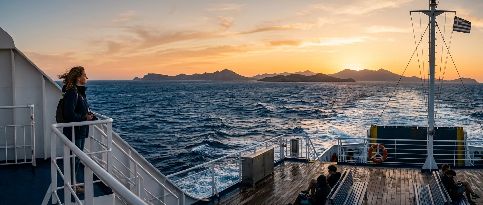
Gramvousa and Balos are in the prefecture of Chania, at the northwest tip of Crete. The nearest town is Kissamos, about an hour by car from Chania. From the harbour of Kissamos, every morning from May to October, the boats leave for Gramvousa and Balos. From Athens, you fly to Chania in fifty minutes or take the overnight ferry from Piraeus.
📍 Where Gramvousa and Balos are
Gramvousa and Balos are at the northwest tip of Crete, at the end of the Gramvousa peninsula, north of Kissamos. In red are the islands, and in green Athens airport, Piraeus and Chania, where you arrive from.
🗺️ The map
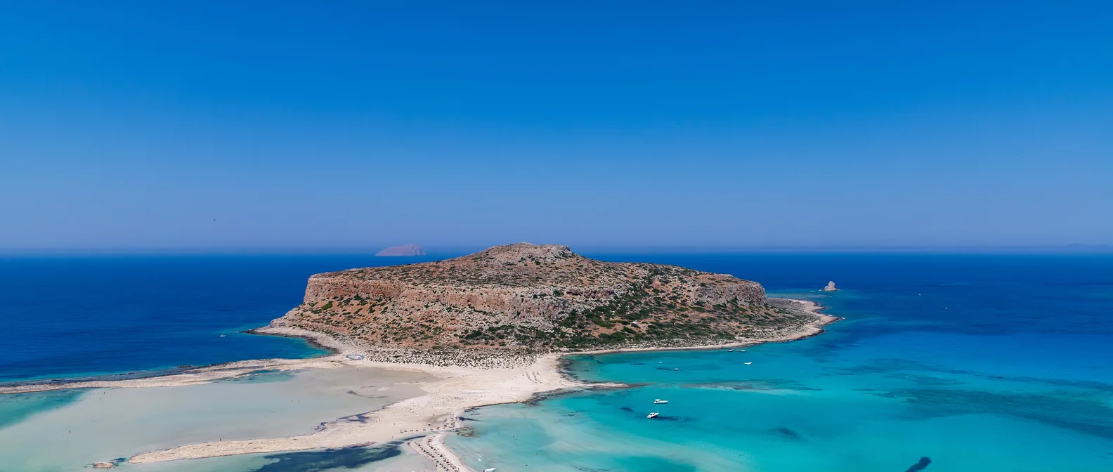
The Gramvousa peninsula is a wild, dry strip of land with mountains, without villages, protected by the Natura 2000 network. At its northern tip, behind Cape Tigani, is the Balos lagoon. Opposite, separated by a narrow channel, is Imeri Gramvousa, with the fortress on top and the bay with the beach and the shipwreck on the south side. Further north is Agria Gramvousa, uninhabited, with a lighthouse.
🗺️ The map of Gramvousa and Balos
The Gramvousa peninsula is the northwest tip of Crete. At its northern point, at Cape Tigani, is the Balos lagoon, and opposite it Imeri Gramvousa with the fortress and the bay with the shipwreck. Further north, Agria Gramvousa. The boats leave from the harbour of Kissamos, while the dirt road starts from Kaliviani. Tap each number to see what it is.
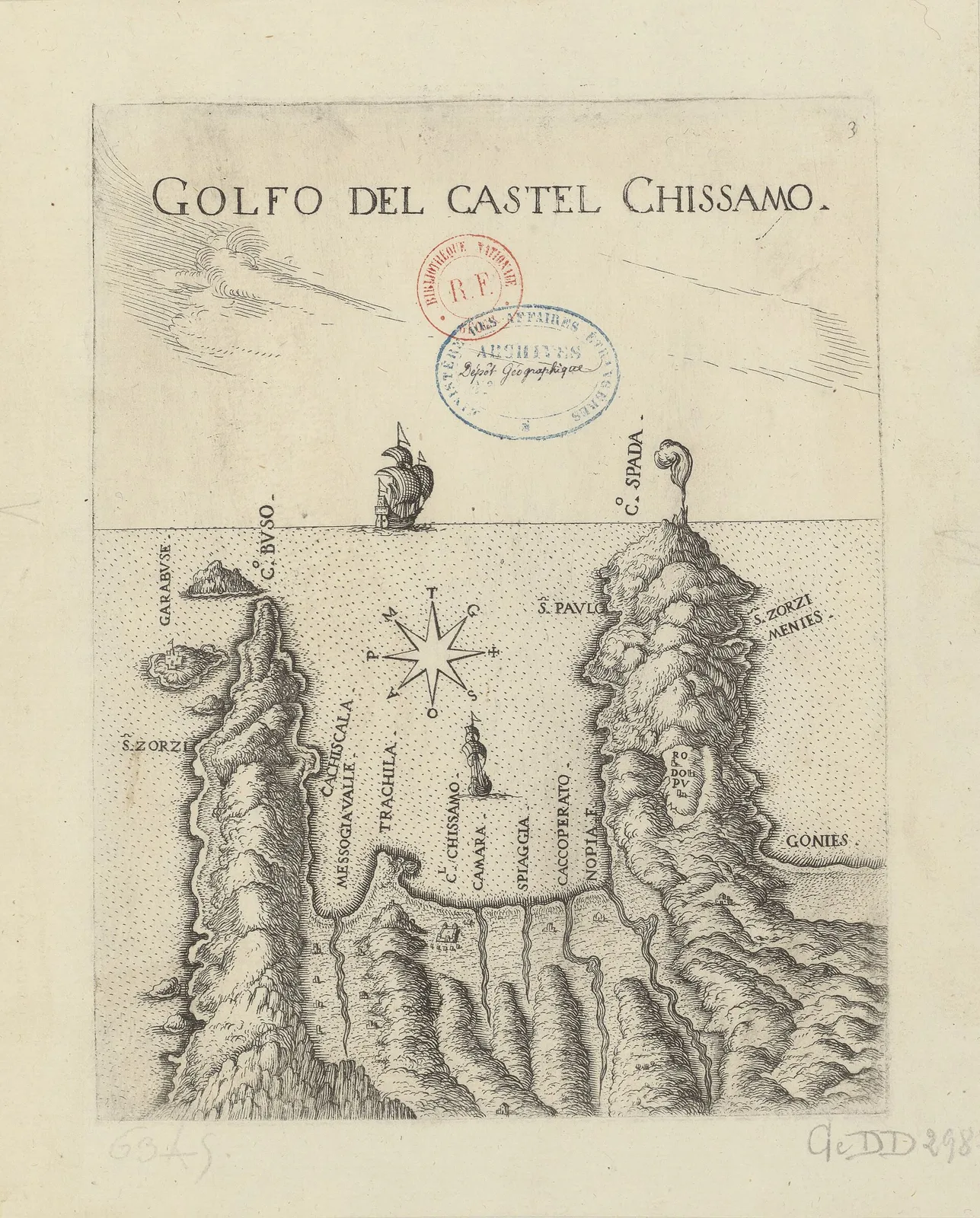
Map: Marco Boschini, 17th century (Public domain) · Wikimedia Commons
⚖️ Is it worth it? The pros and cons
Balos and Gramvousa are worth it for anyone in Chania. But they are among the busiest spots in Crete, and at midday in summer they look more like a town square than a wild landscape. Here is an honest picture.
📊 At a glance, from 1 to 5
👍 The pros
- The Balos lagoon, one of the most photographed landscapes in Greece.
- A Venetian fortress on a rock, with a breathtaking view.
- The story of the pirates and the Cretan Revolution.
- Shallow, warm water, ideal for children.
- Everything in one day, by boat from Kissamos.
👎 The cons
- Far too many people at midday, in July and August.
- The path to the fortress is steep and without shade.
- The dirt road to Balos is bad and needs care.
- Few options for food, only on the boat or at a snack bar.
🌊 The Balos lagoon
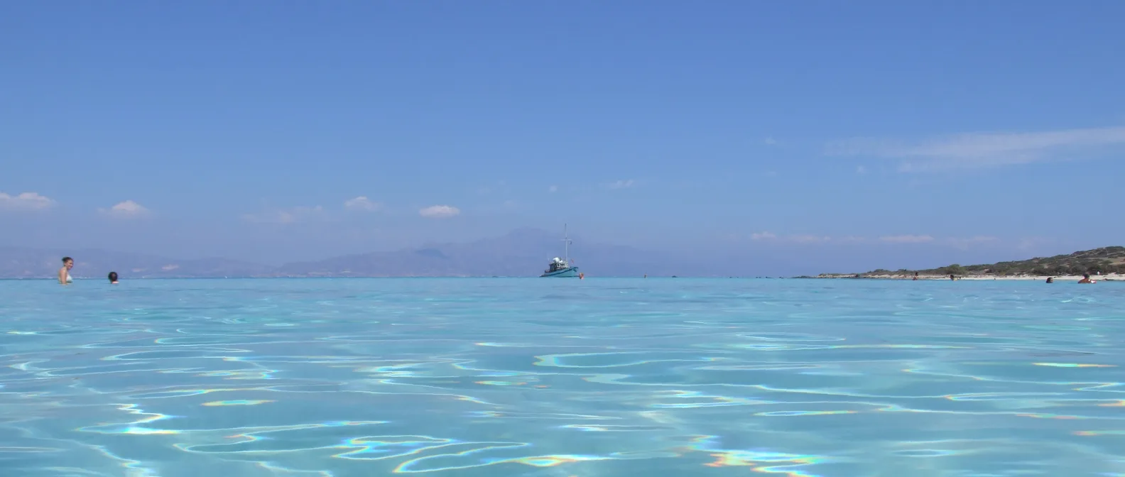
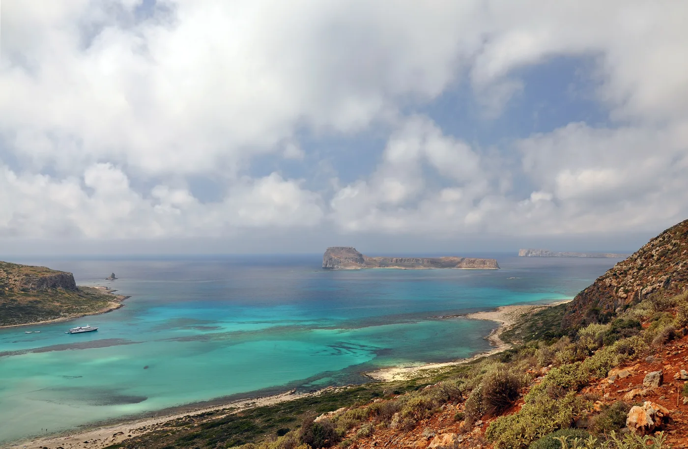
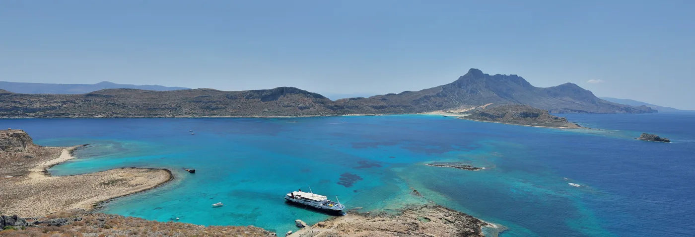
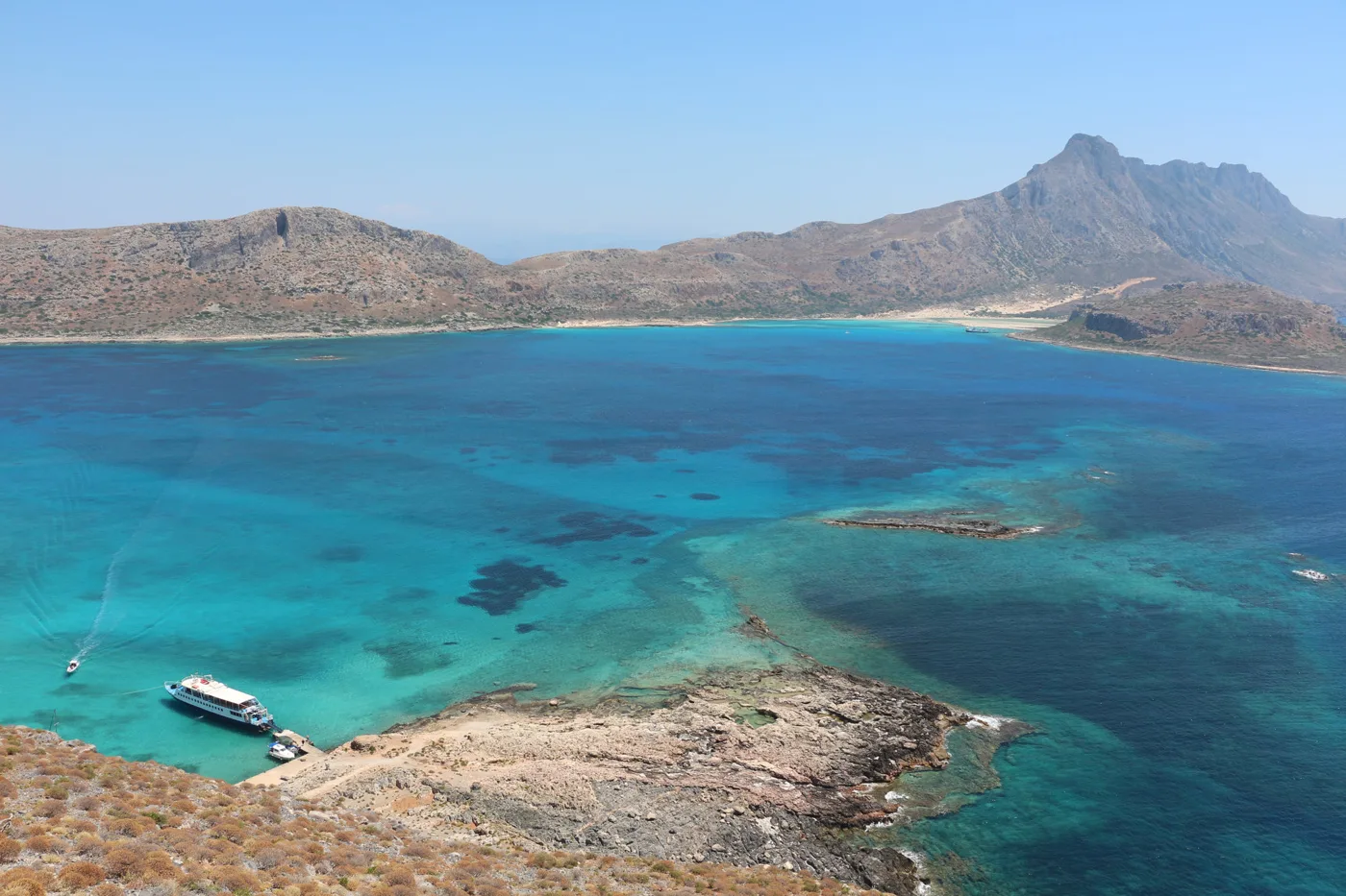
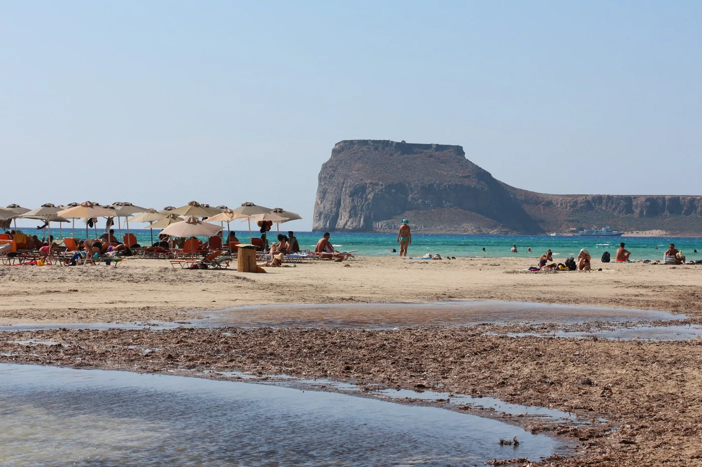
Balos is a shallow lagoon between Cape Tigani and the coast of the peninsula, joined to the sea by a strip of sand. Its water is so shallow that you can walk in it for hundreds of metres up to your knees, and the colours change from clear to turquoise and deep blue, depending on the depth and the light. In places the sand takes on a pink tint from crushed shells.
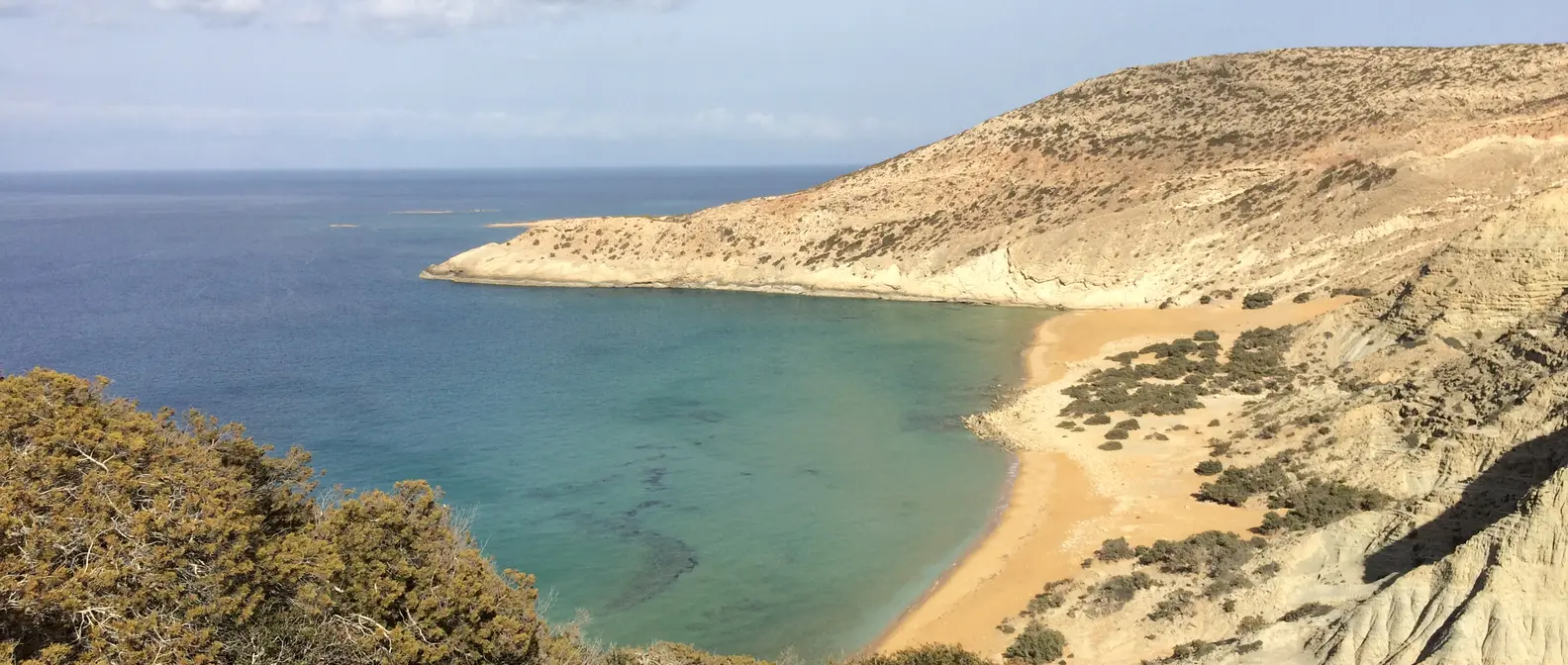
The best view is from above: from the path that comes down from the dirt road, the lagoon spreads out below you with Gramvousa in the distance. Stay on the marked paths, because the dunes and the plants of the area are protected, and rare birds nest here.
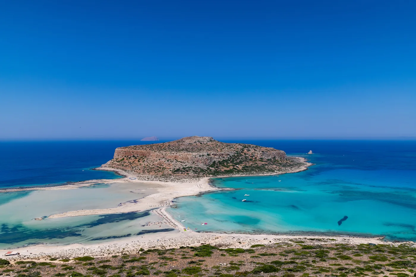
The lagoon and Gramvousa.
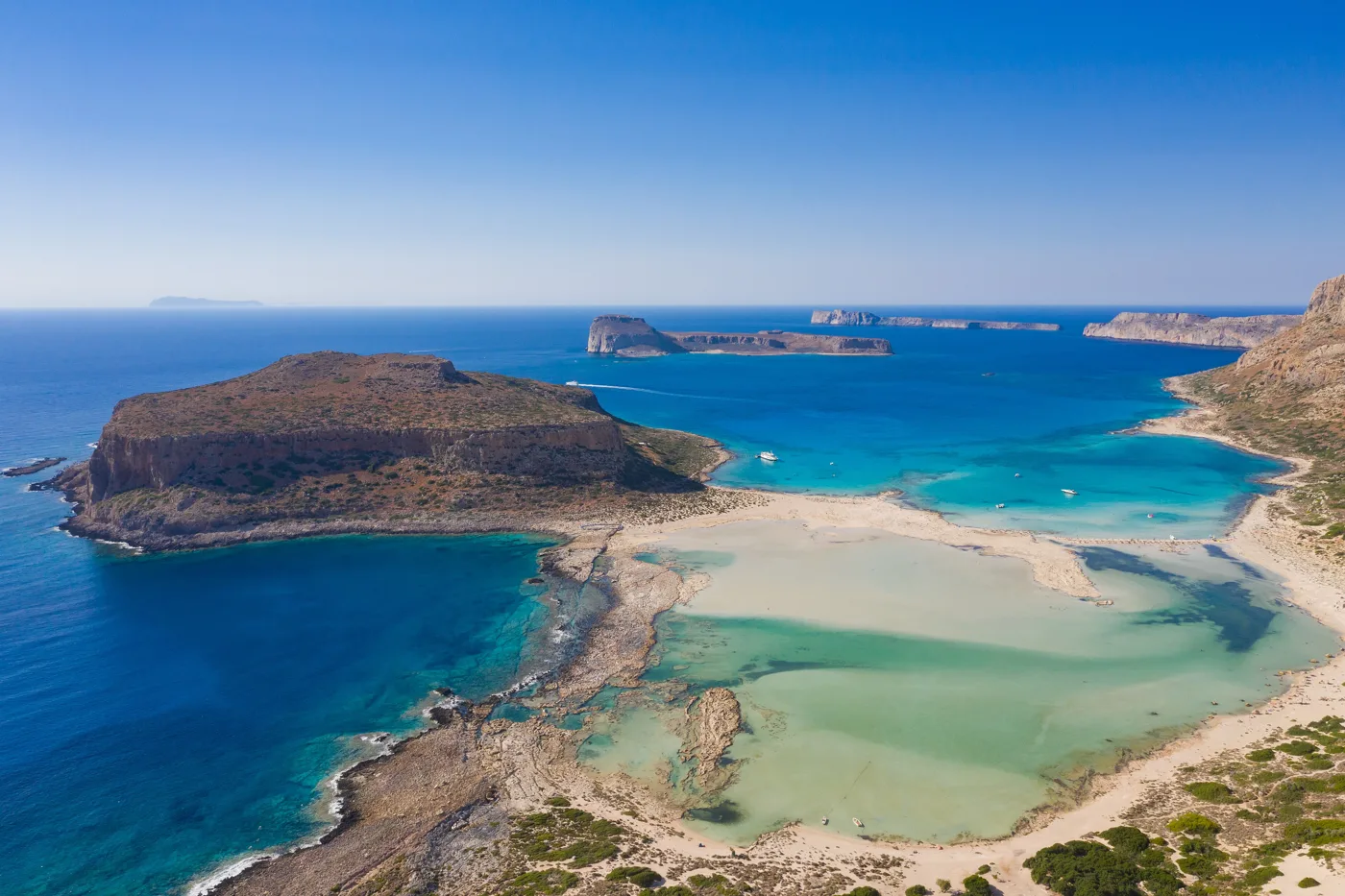
Shallow water in every shade.
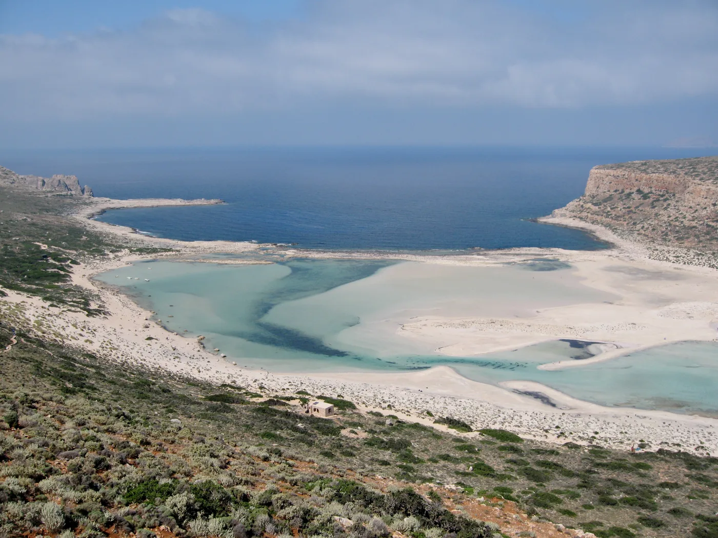
The view on the way down.
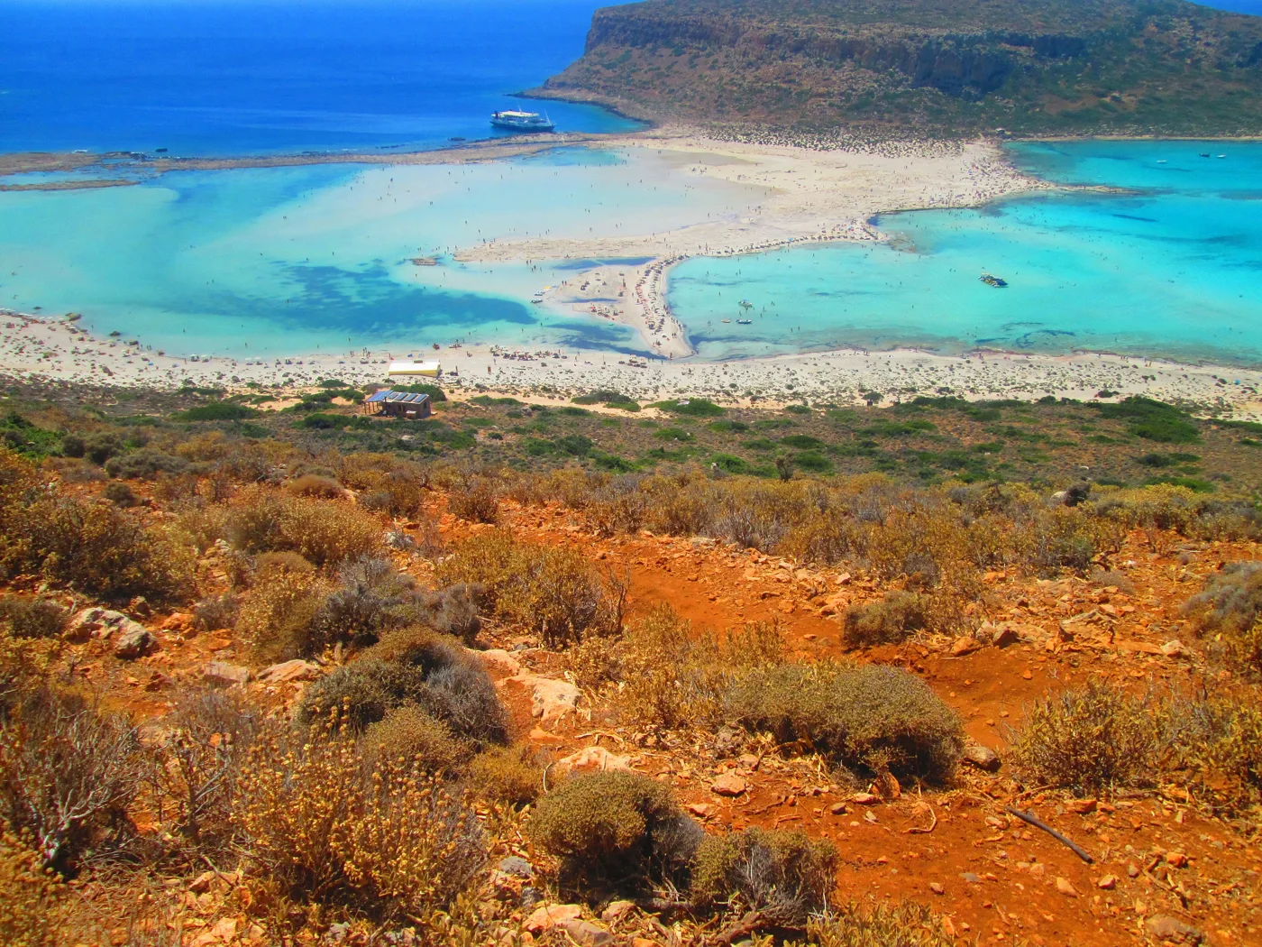
Red earth, white sand, turquoise water.
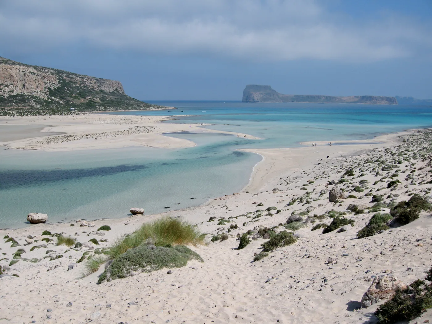
Between the lagoon and the sea.
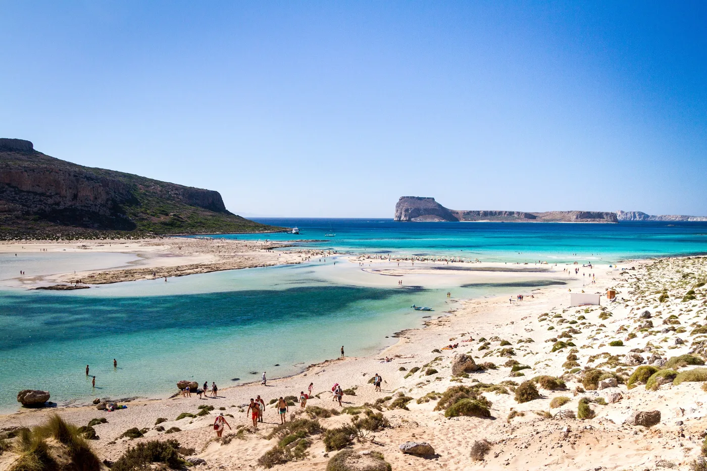
Water up to your knees.
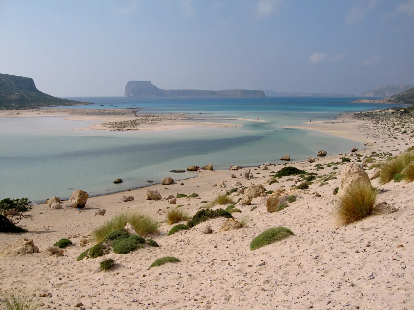
Cape Tigani.
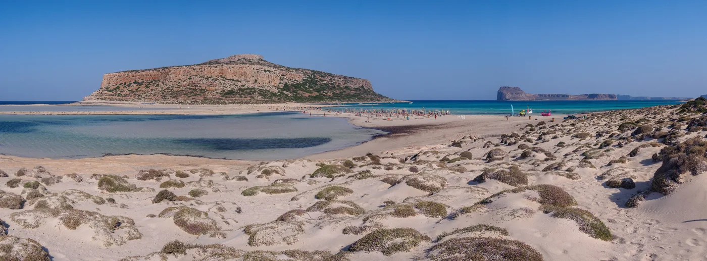
As far as Imeri Gramvousa.
The bay in a different light.
Photos: dronepicr (CC BY 2.0), Olaf Tausch (CC BY-SA 3.0), Mwchalmers (CC BY-SA 4.0), TimOve (CC BY 2.0), C messier (CC BY-SA 4.0), Moonik (CC BY-SA 3.0) · Wikimedia Commons
The boat from Kissamos is the easiest way, and it takes you to Gramvousa too. If you go by car, the dirt road from Kaliviani is about eight kilometres, bad in places, with an entrance fee to the peninsula, and from the car park you need twenty to thirty minutes on a footpath to the beach, and more on the climb back.
🏰 The fortress of Gramvousa
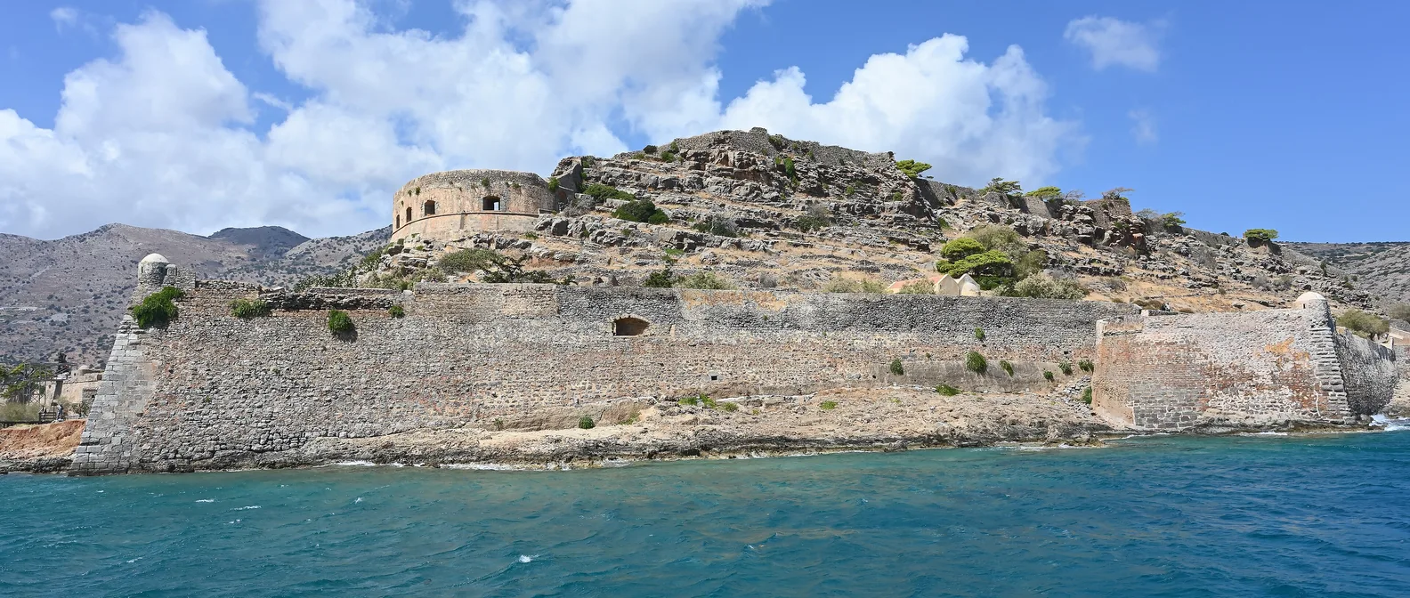
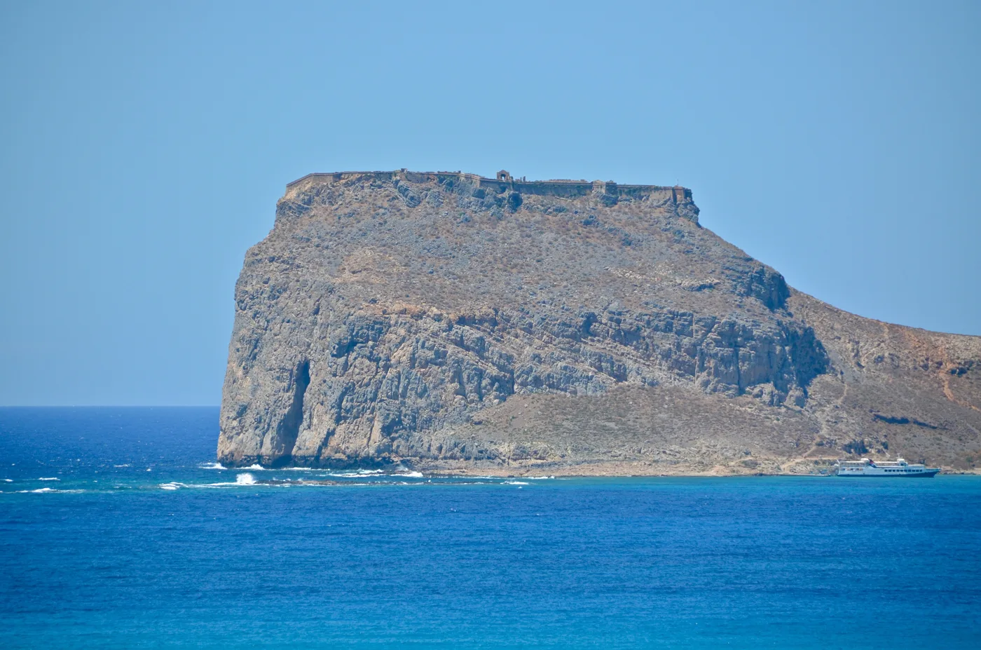
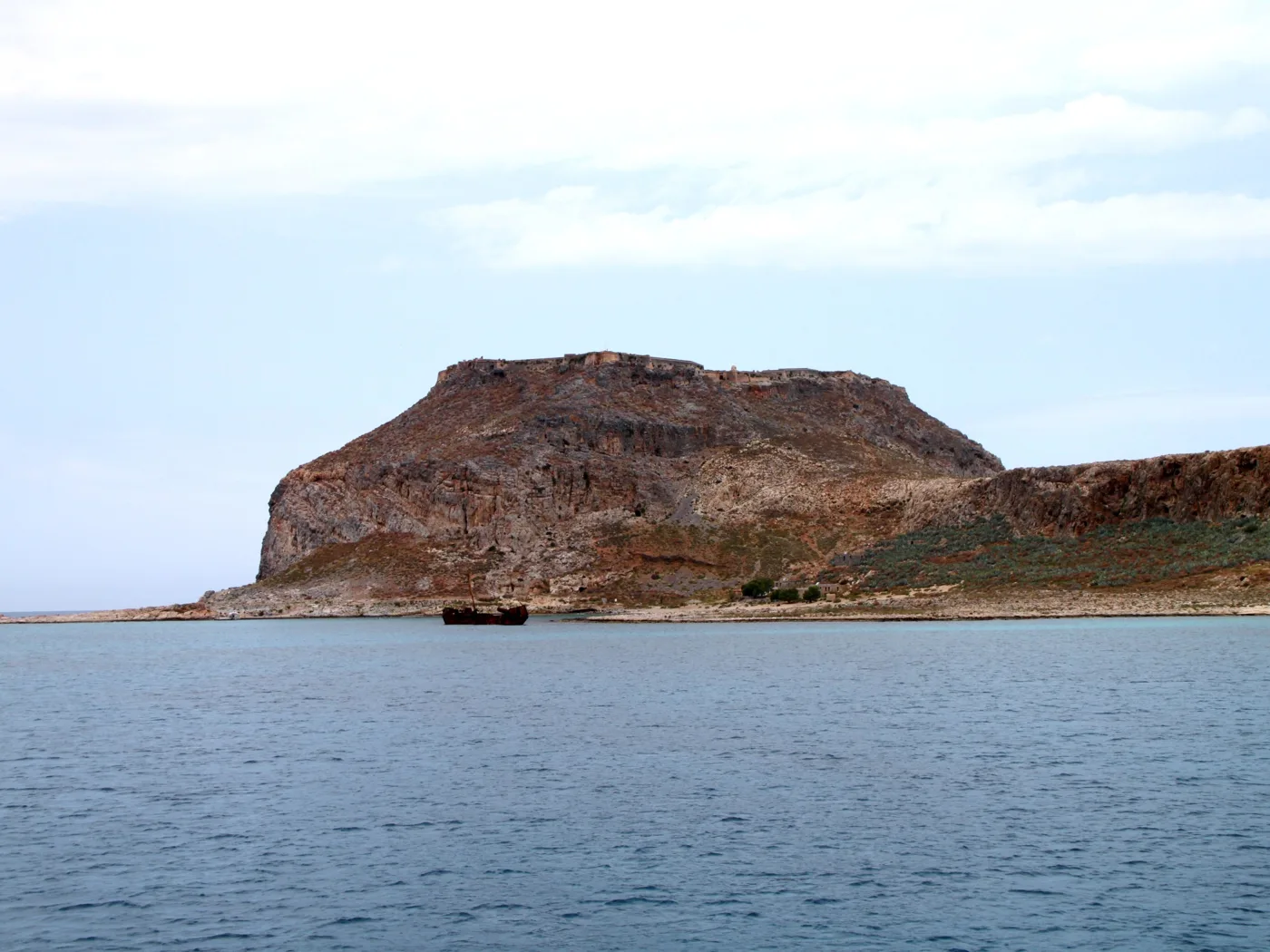
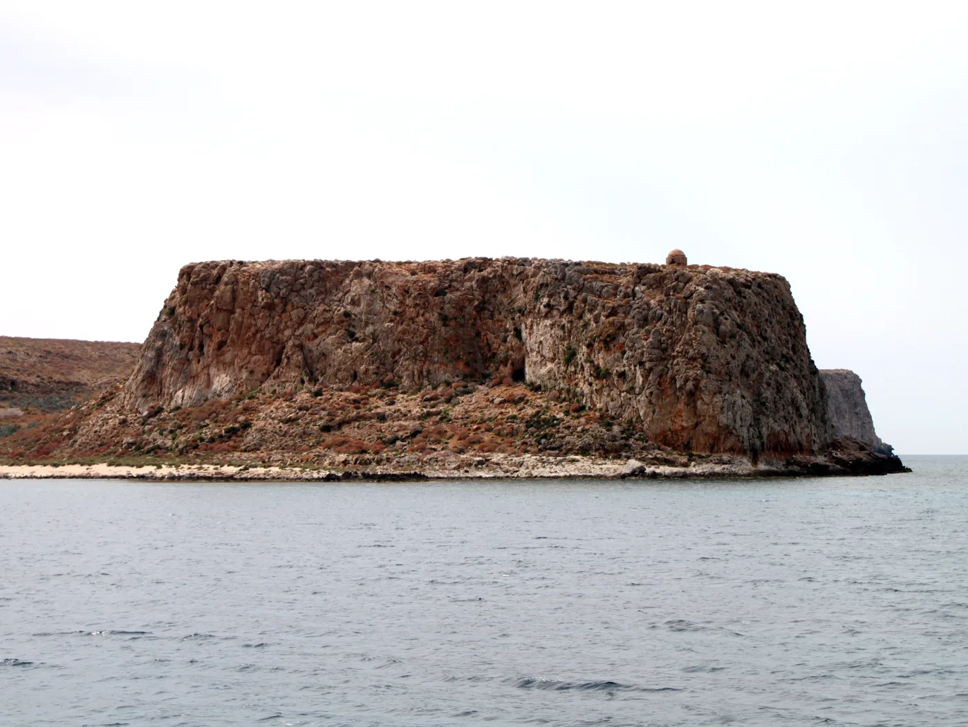
When the Venetians ruled Crete, in the 16th century they built a fortress on top of Imeri Gramvousa, on a rock with sheer walls, to guard the sea against the Turks and the pirates. The fortress was so impregnable that it stayed Venetian even after Crete fell to the Ottomans in 1669, together with Souda and Spinalonga. In 1691 it was handed over to the Turks without a fight, through the treachery of its commander.
In 1825, during the years of the Revolution, Cretan rebels took the fortress. Thousands of refugees fled here, and to survive many of them became pirates: from Gramvousa they set out to raid the ships passing by, until in 1828 the fleets of England and France came and closed the nest. Today you climb up by a path from the bay, in twenty to thirty minutes, and inside the walls you will find a ruined Venetian church, cisterns, storehouses and, at the top, one of the finest views in Crete, with Balos below.
The rock of the fortress.
The walls on the top.
More than a hundred metres above the sea.
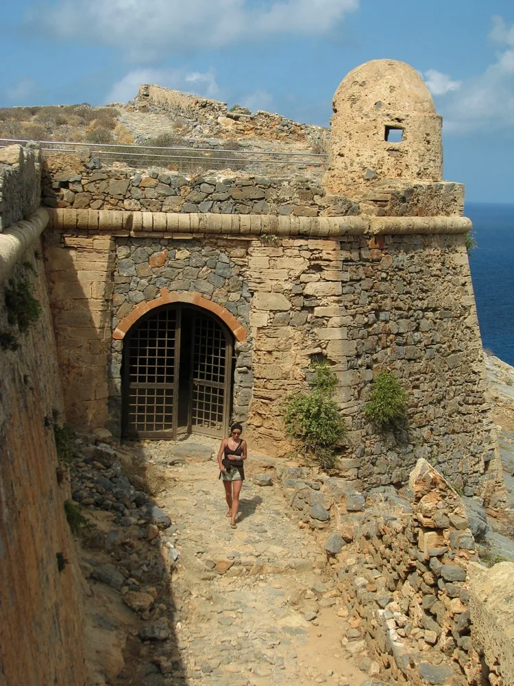
The entrance to the fortress.
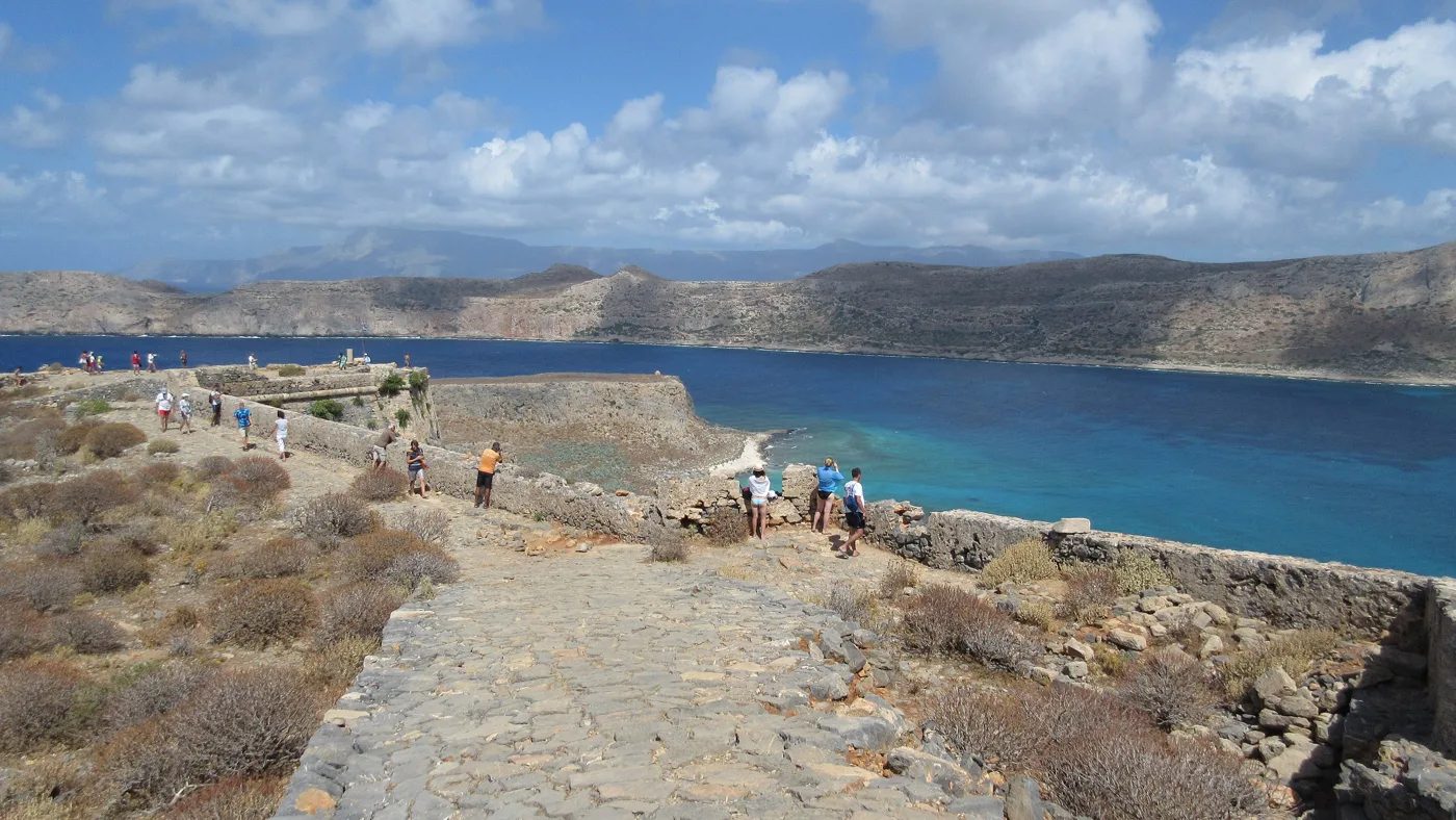
On the top.
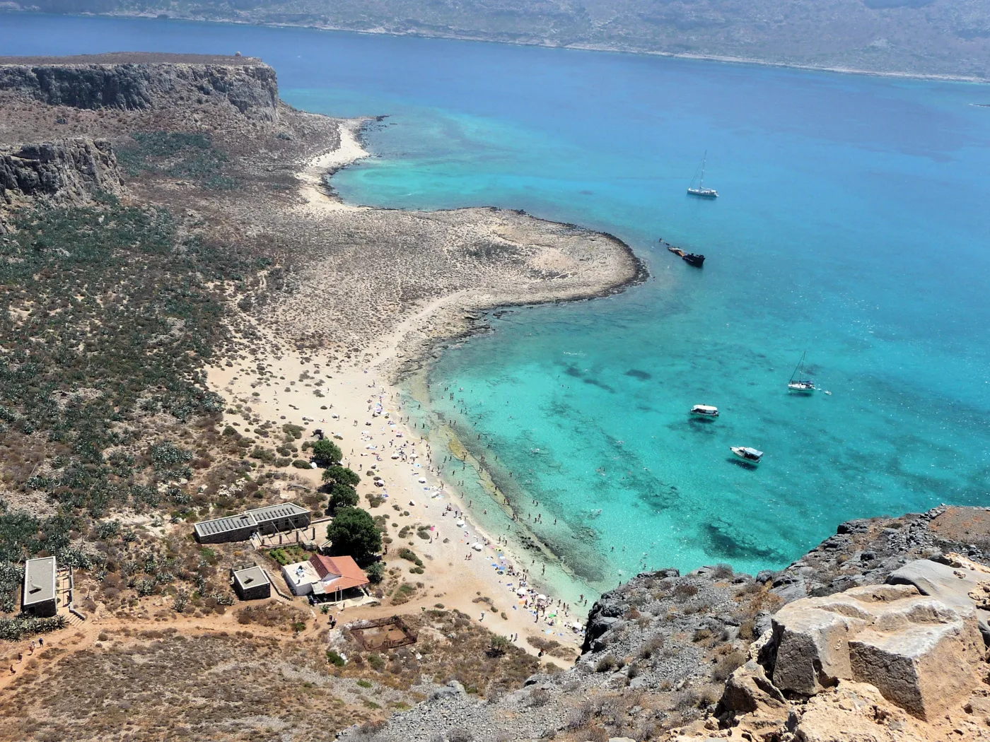
The bay from the fortress.
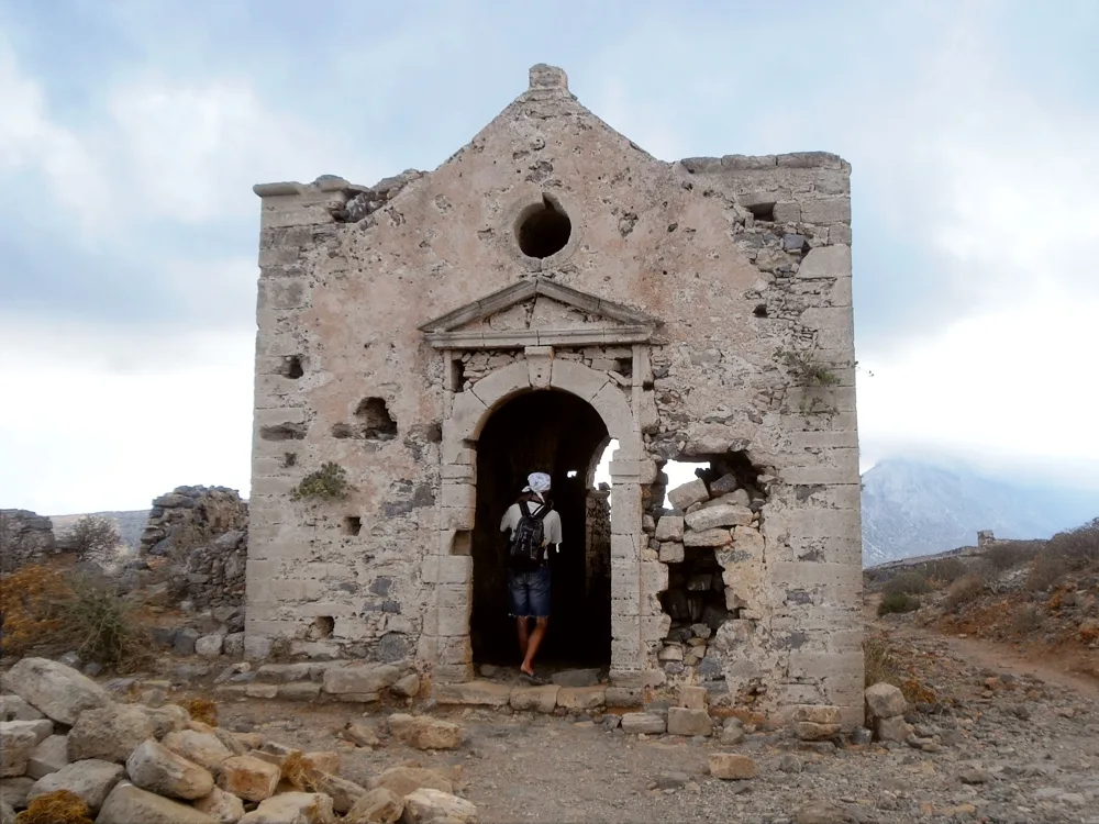
Venetian, inside the fortress.
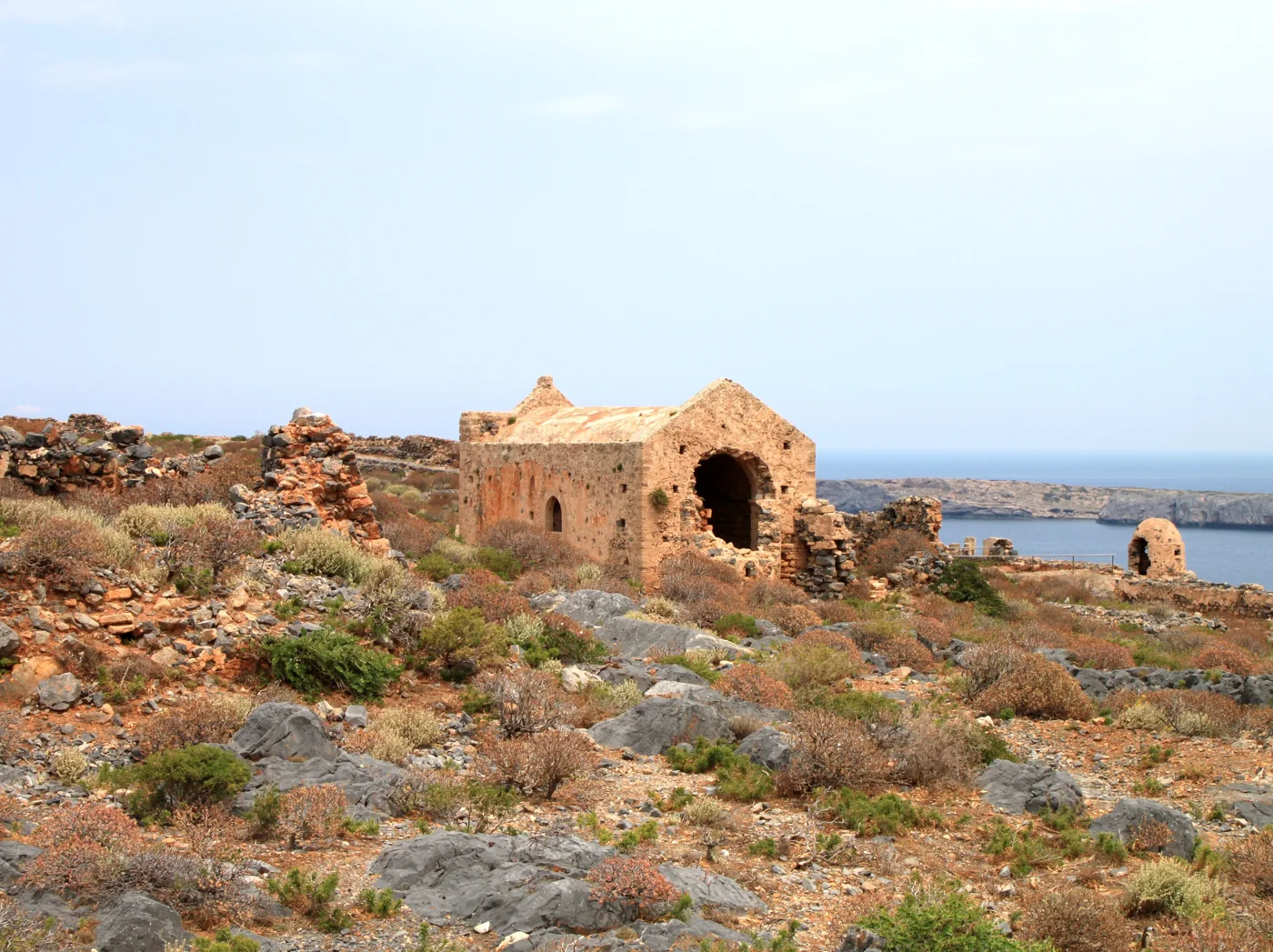
Storehouses and barracks.
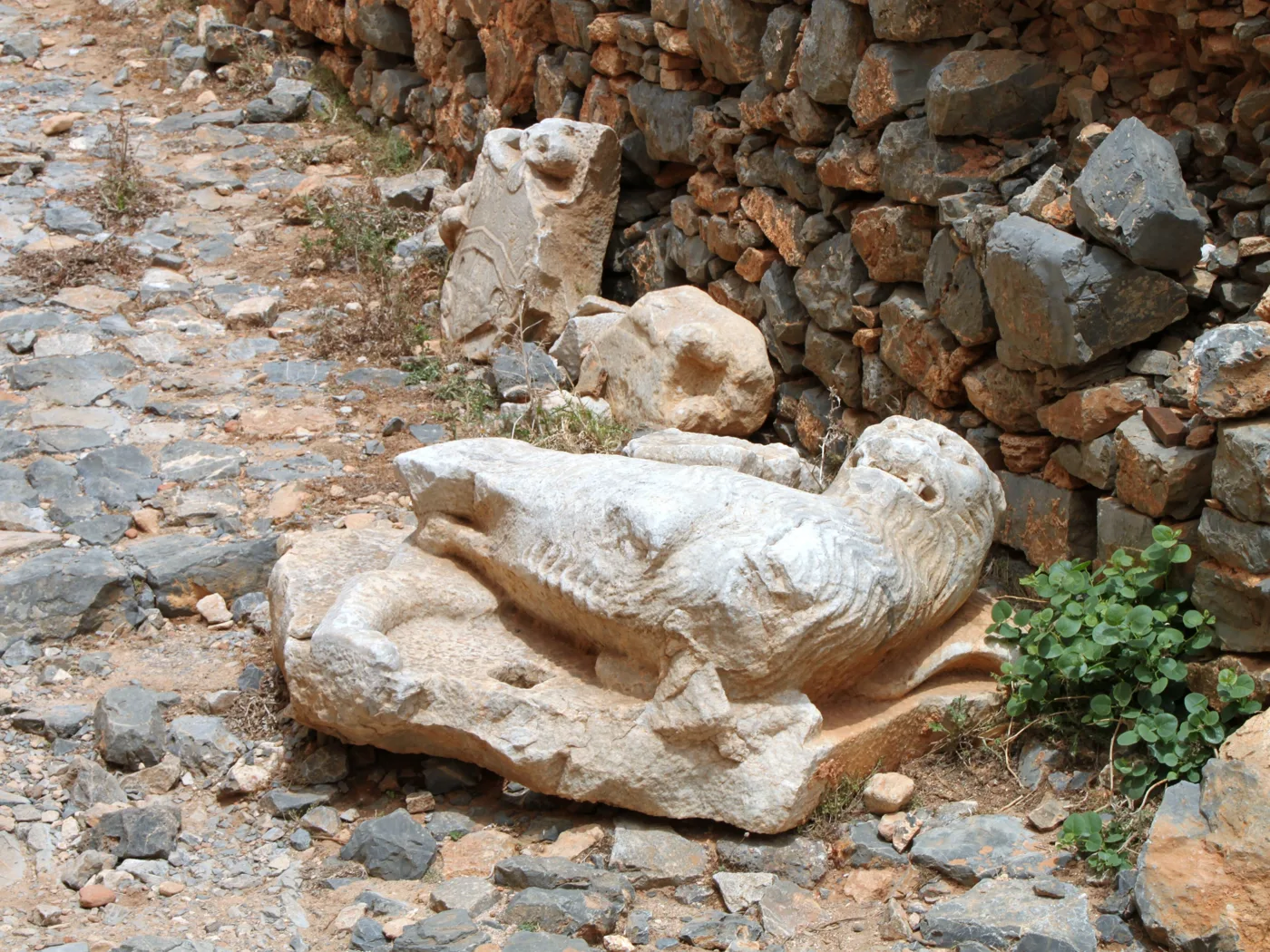
A Venetian relief.
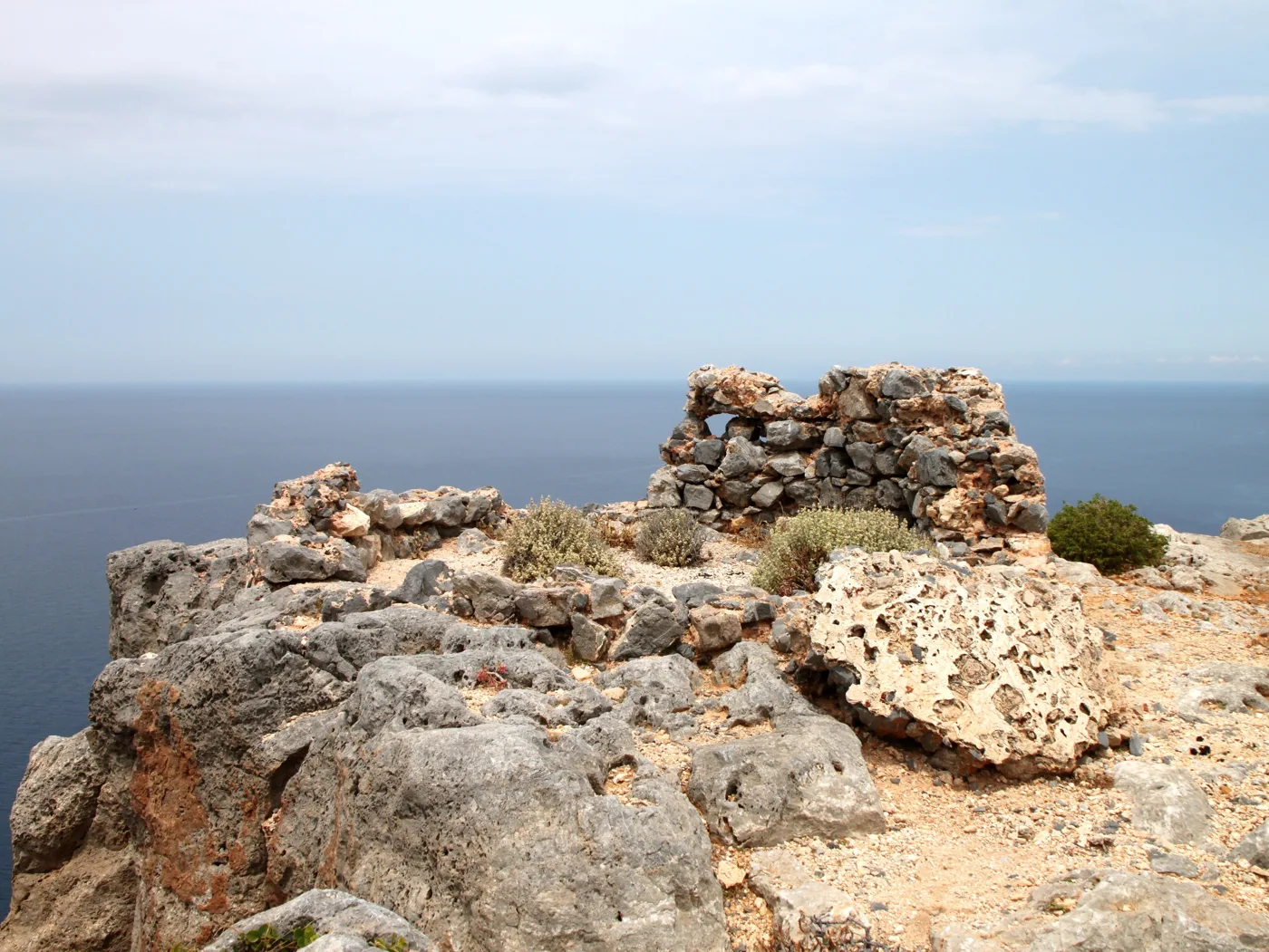
On the edge of the cliff.
Photos: Akispro (CC BY-SA 4.0), Olaf Tausch (CC BY 3.0), Robin & Bazylek (CC BY 2.0), Long lasting memories (CC BY-SA 4.0), Andrzej19 (CC BY-SA 4.0) · Wikimedia Commons
The path is stony and steep, without shade. Wear closed shoes, take water and a hat, and climb up as soon as you get off the boat, before the midday heat sets in.
⚓ The shipwreck and Agria Gramvousa
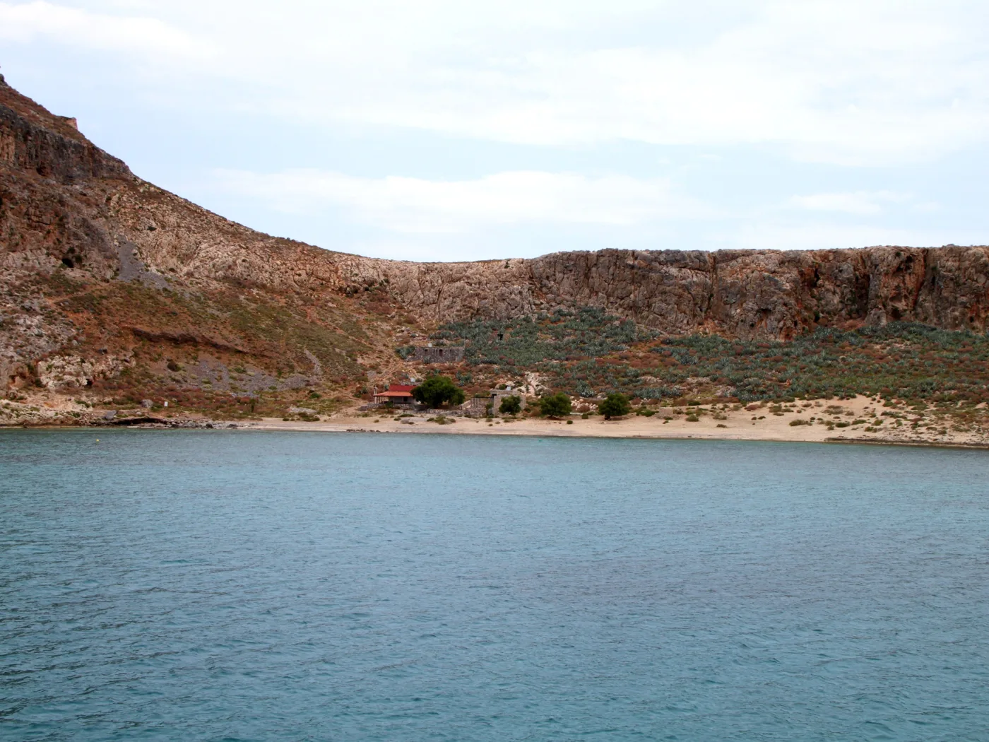
In the bay of Imeri Gramvousa, where the boats moor, you will see the rusty hull of a cargo ship that ran aground in the shallows decades ago and stayed there. The beach next to it is ideal for a swim after the fortress. Further north, Agria Gramvousa is a low, uninhabited island with a lighthouse, which you can see from the fortress and from the boat.
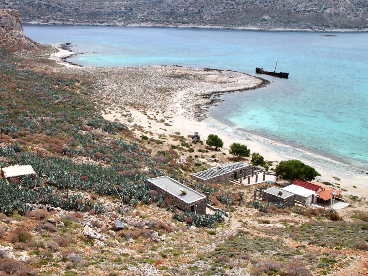
On the beach of Gramvousa.
This is where the boats moor.
The view from Gramvousa.
From the fortress.
From Balos.
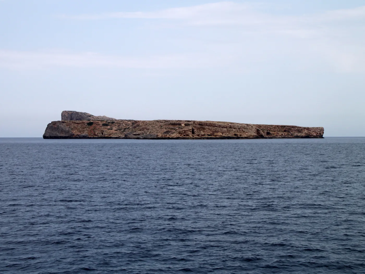
Its sister, further north.
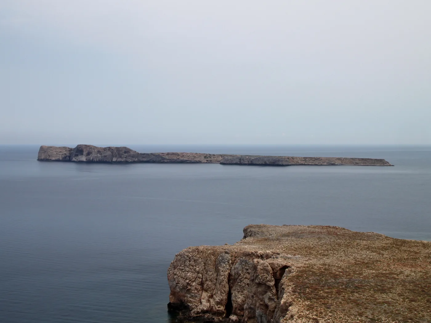
Agria Gramvousa.
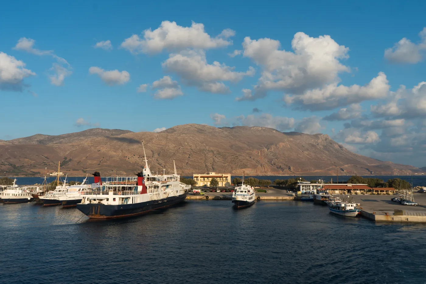
Boats leave from here.
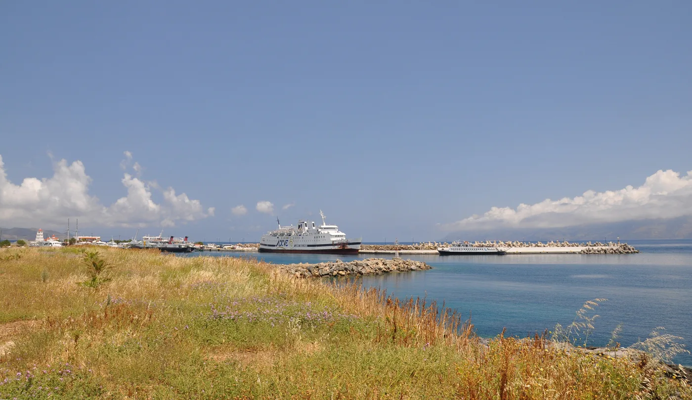
In the harbour of Kissamos.
Photos: Olaf Tausch (CC BY 3.0), Taxiarchos228 (FAL), Przemek Pietrak (CC BY-SA 3.0), Alexey Komarov (CC BY-SA 4.0), Moonik (CC BY-SA 3.0) · Wikimedia Commons
🍽️ What to eat
There are no tavernas on Gramvousa or at Balos, only a snack bar at Balos and the bar on the boat, so take water and something to eat. The eating happens before and after, in Kissamos: fish in the harbour, chochlioi boubouristi (fried snails), Cretan wedding pilaf, dakos, kalitsounia and a wine from the vineyards of Kissamos, among the best in Crete.
📅 When to go
The boats run from May to October. June, September and October are the best months: warm sea, fewer people, a gentle sun for the fortress. In July and August the lagoon fills up, especially from eleven to four. If you go by car, set off very early, to arrive before the boats. With a strong north wind, the sailings may be cancelled.
✈️ How to get there from Athens
| How | Duration | From | Notes |
|---|---|---|---|
| Plane and car | About 50 minutes + 1 hour | Athens airport → Chania → Kissamos | The fastest way. |
| Ferry and car | About 9 hours + 1.5 hours | Piraeus → Souda (Chania) | Overnight ferry with a cabin. |
| Boat | About 1 hour | Kissamos harbour → Gramvousa → Balos | Every morning, May to October, return in the afternoon. |
From Ioulianou 50 go to the airport on Line 1 to Monastiraki and change to Line 3, or straight to Piraeus on Line 1 for the ferry. From Chania, the KTEL bus goes to Kissamos, and in summer there is a bus to the harbour for the boats. For the rest of Crete, see our guide to Crete.
🗓️ A day on Gramvousa and Balos
The boat and the fortress
The boat leaves the harbour of Kissamos around ten and goes first to Gramvousa. Climb straight up to the fortress, before it gets hot: twenty to thirty minutes of climbing. On the way down, a swim on the beach of the bay, next to the shipwreck.
Balos
The boat takes you to Balos for two to three hours. Walk through the shallows of the lagoon as far as Cape Tigani, and if you have the energy, go a little way up the path for the view from above. Back to Kissamos in the afternoon, and fish in the harbour.
Frequently asked questions
Is it better by boat or by car?
By boat, if you also want Gramvousa and its fortress, without the dirt road and the climb. By car, if you want to reach Balos very early or late in the afternoon, without the crowds from the boats, and with the view from above.
How long does the trip take?
A whole day: the boat leaves Kissamos in the morning and returns in the afternoon, with about two hours on Gramvousa and two to three at Balos.
Is it suitable for children?
Balos, with its shallow water, is ideal for children. The climb to the fortress needs care, because the path is steep and stony, and at midday it is scorching.
Is there shade?
Very little. At Balos you can rent an umbrella on a small part of the beach, and elsewhere there is no shade. Bring a hat, sunscreen and plenty of water.
— Kathy