🪪 The island at a glance
📍 Where it is
Chrysi, which old sailors called Gaidouronisi, lies in the Libyan Sea, about fifteen kilometres south of Ierapetra, the big town of south-eastern Crete. From Athens you fly to Heraklion and drive about an hour and a half to Ierapetra, or to Sitia, which is closer. From the harbour of Ierapetra, every morning from May to October, boats leave for the island and come back in the afternoon.
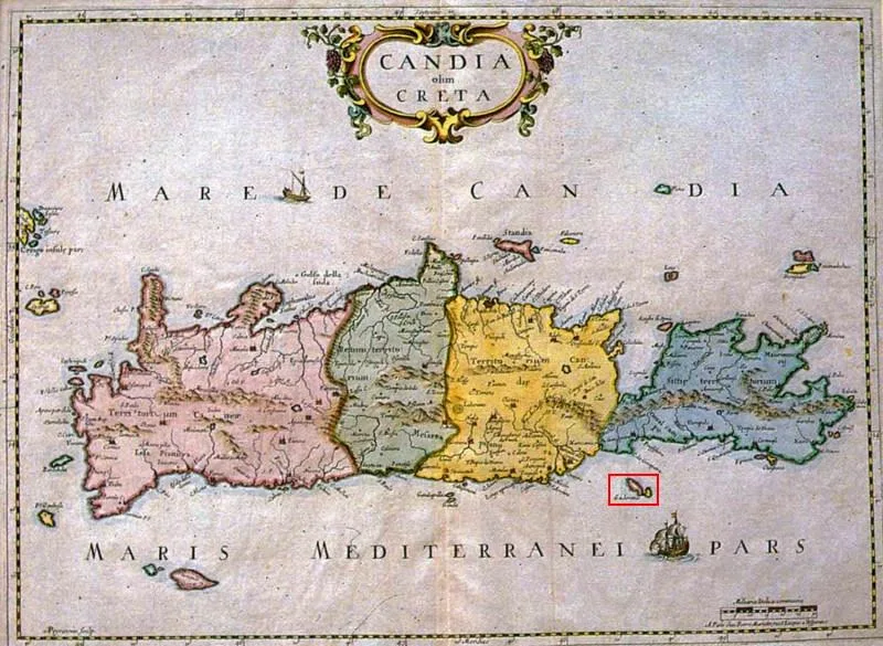
📍 Where Chrysi is
Chrysi is an islet in the Libyan Sea, about fifteen kilometres south of Ierapetra, in south-eastern Crete. The island is shown in red, and in green the Athens airport, Heraklion and Ierapetra, from where you arrive.
🗺️ The map of the island
Chrysi is about five kilometres long and one wide, almost flat, with low rocks only in the east. The boats tie up on the south coast, and from there a path through the cedars brings you out on Golden Beach. To the west are the lighthouse and the chapel of Agios Nikolaos. If you cross the island to the north, in twenty minutes you reach Belegrina, the beach of shells, and Kataprosopo, opposite Mikronisi.
🗺️ Map of Chrysi
Chrysi is long, narrow and flat, five kilometres from end to end. The boats tie up on the south coast, next to Golden Beach. At the western end are the lighthouse and the chapel of Agios Nikolaos. On the north coast, Belegrina with its shells and Kataprosopo, opposite Mikronisi. In between, the cedar forest. Tap each number to see what it is.
Map: 17th century (Public domain) · Wikimedia Commons
⚖️ Is it worth it? The pros and cons
Chrysi is worth a day for anyone in southern Crete, mainly for the sea and the cedars. It is not an island to stay on, and in August it is not quiet. Here is an honest picture.
📊 At a glance, from 1 to 5
👍 The pros
- Snow-white sand and shallow turquoise water, like a tropical island.
- A cedar forest on dunes, one of the rarest in Europe.
- Belegrina with its pink shells and the fossils in the rocks.
- An easy day trip from Ierapetra, with a boat every morning.
- Protected nature, with no houses, roads or cars.
👎 The cons
- Lots of people in July and August, especially near the jetty.
- Very little shade on the sand, except under the cedars.
- Only one canteen and a small taverna, bring water.
- With a south wind the sea gets rough and trips are cancelled.
🌲 The cedar forest and the dunes
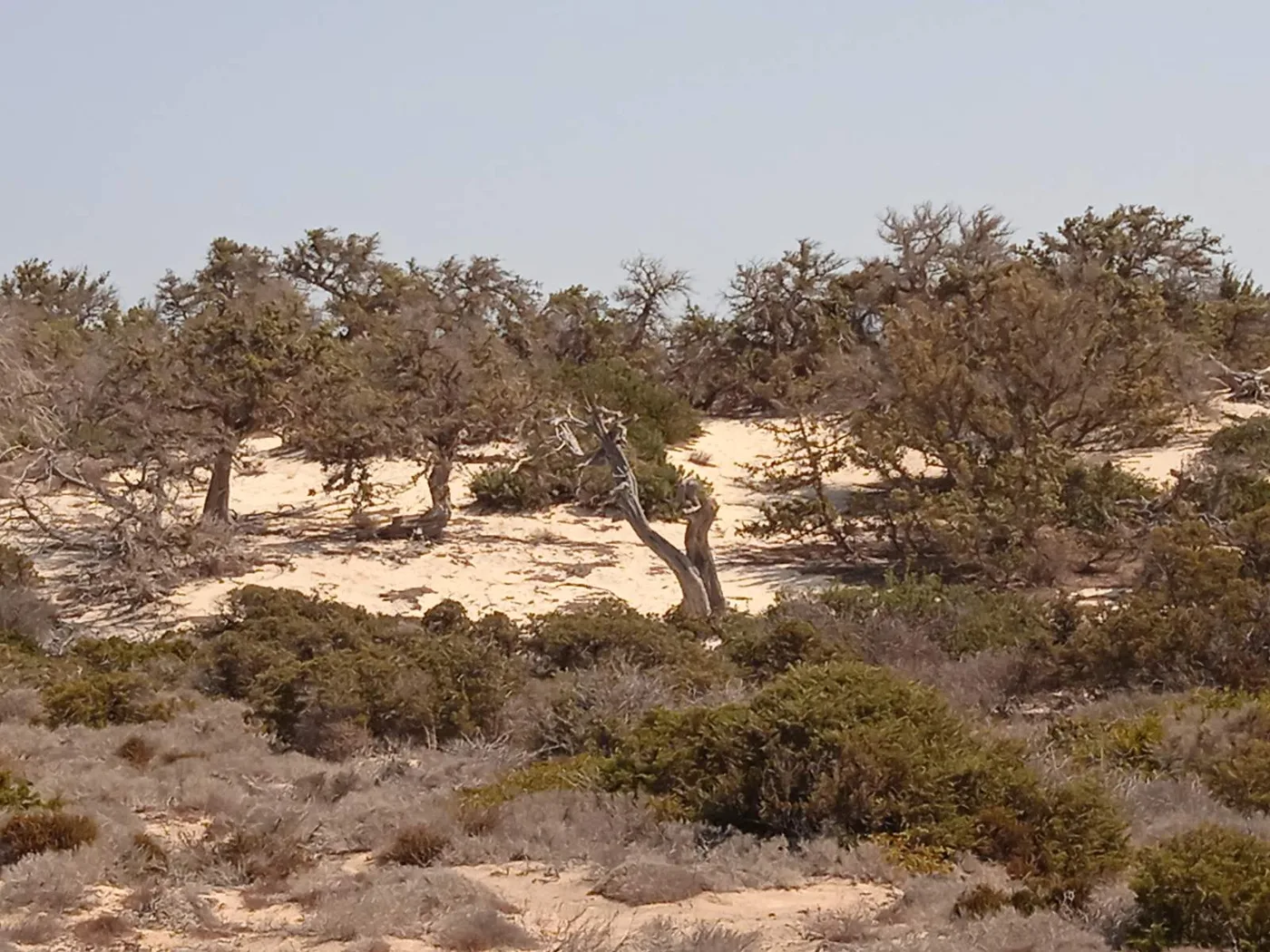
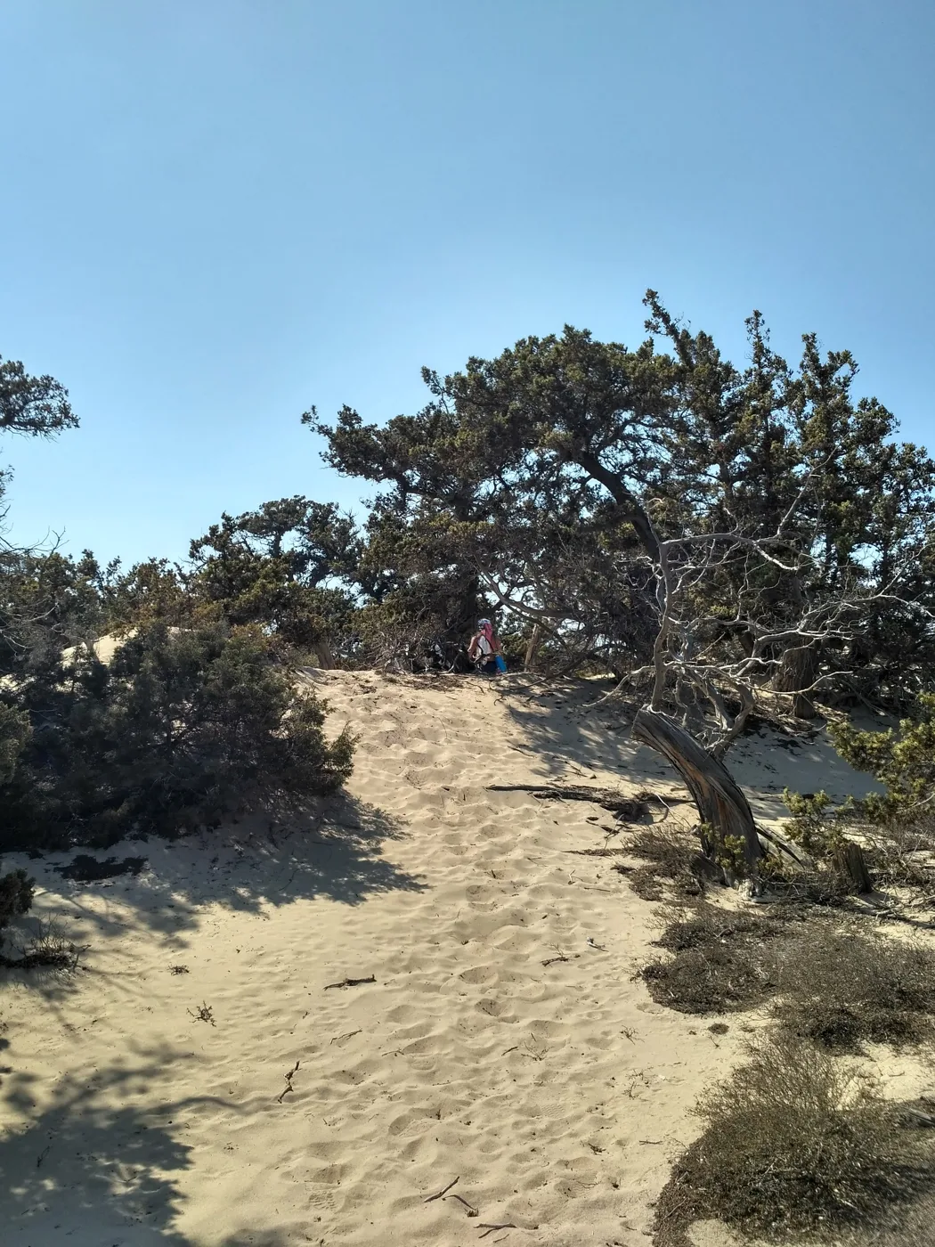
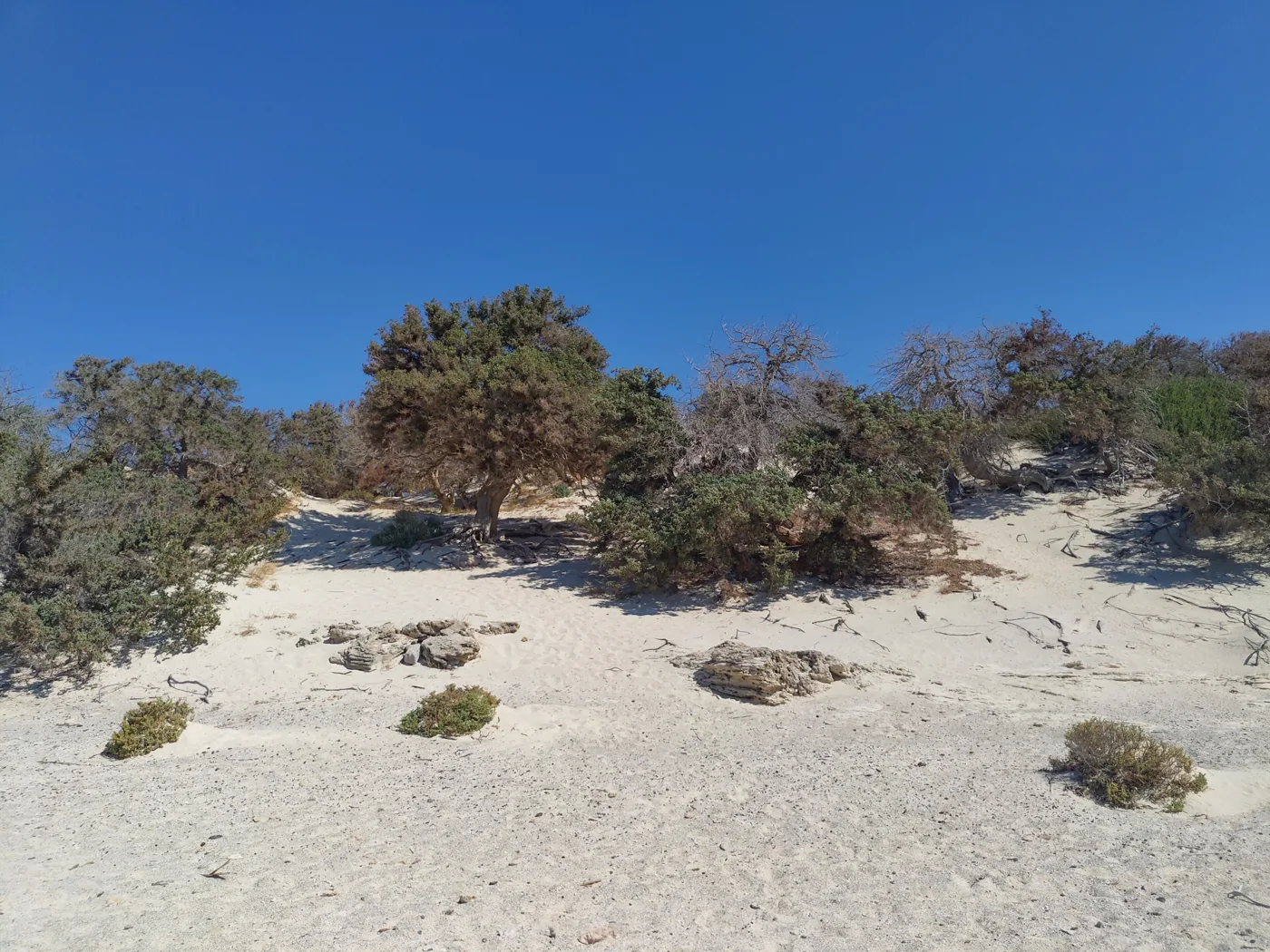
What makes Chrysi unlike any other island is its cedar forest. On the dunes grow cedars, a kind of juniper that withstands salt and wind, with twisted trunks and wide, low crowns. Many are hundreds of years old, and together they form one of the largest natural forests of this kind in Europe. That is why the island is protected by the Natura 2000 network.
Walk the paths that cross the island: the sand, white as salt, covers half-buried trunks, dry branches form sculptures, and between the cedars clearings open up with views of the sea and the mountains of Crete opposite. Always stay on the marked paths: the dunes are fragile, and one step off them destroys roots that took decades to grow.
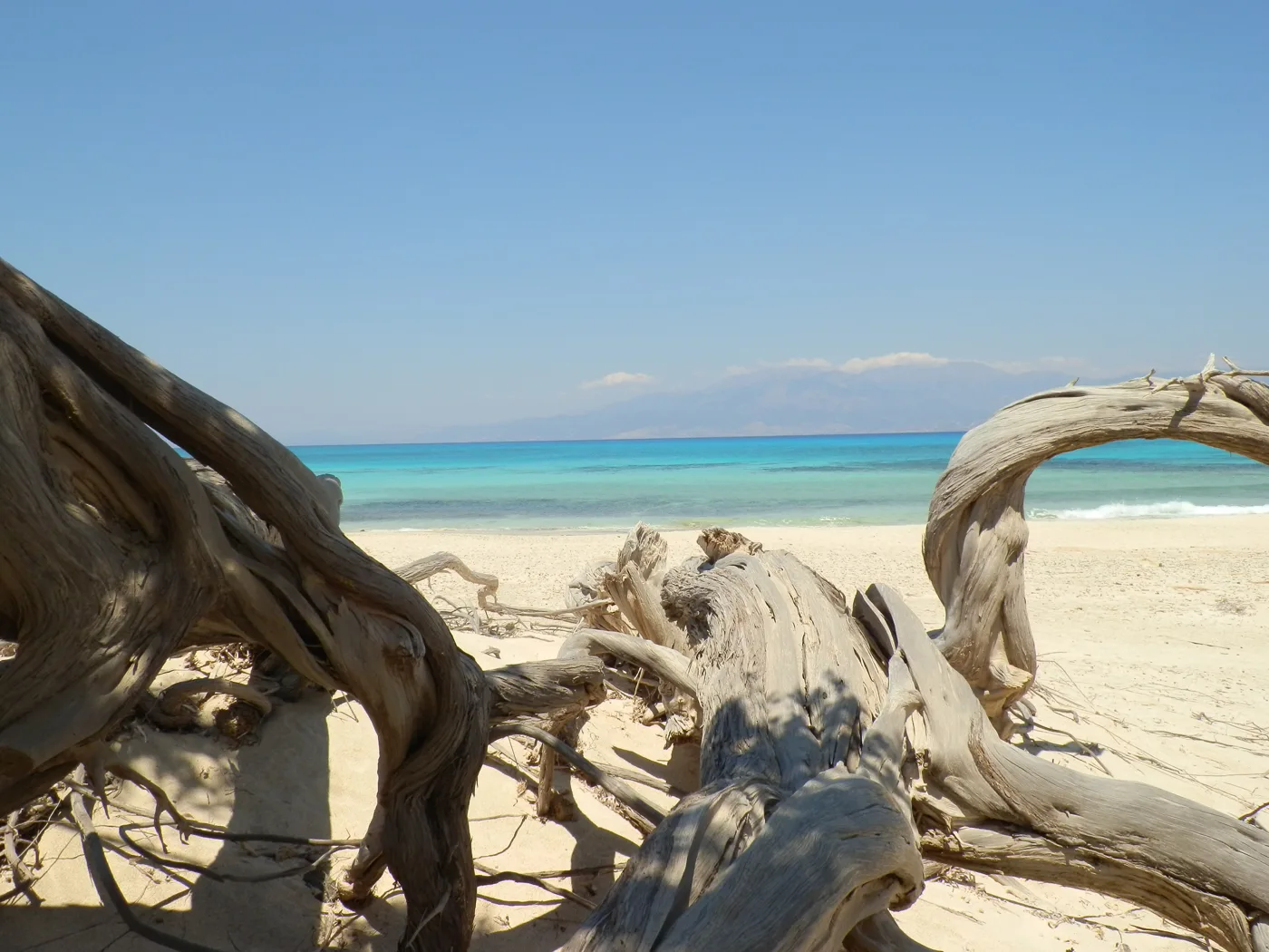
Branches centuries old.
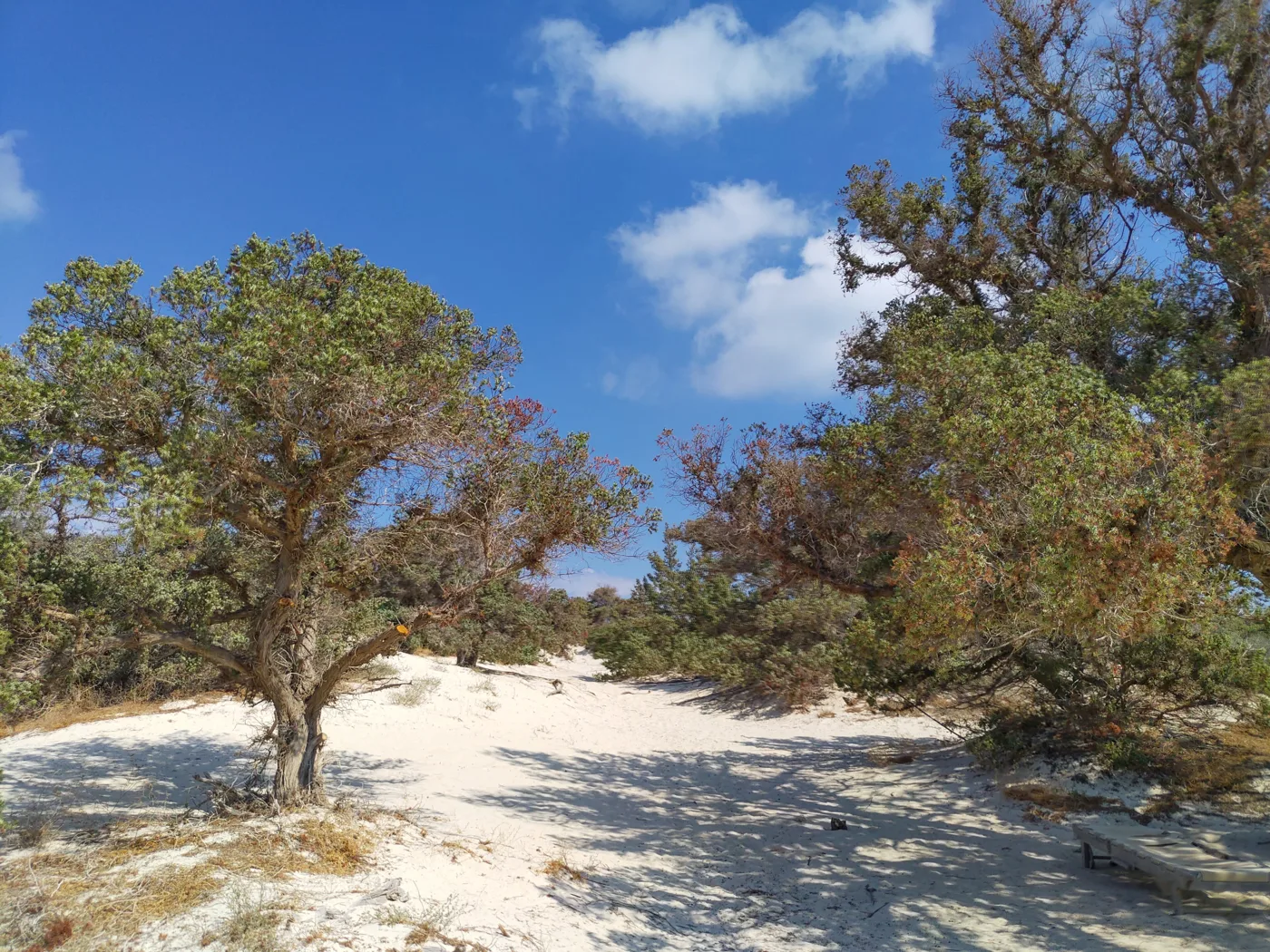
The island’s shade.
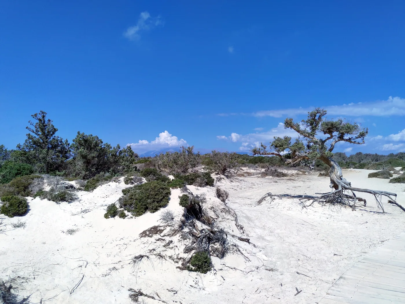
The sand covers the trees.
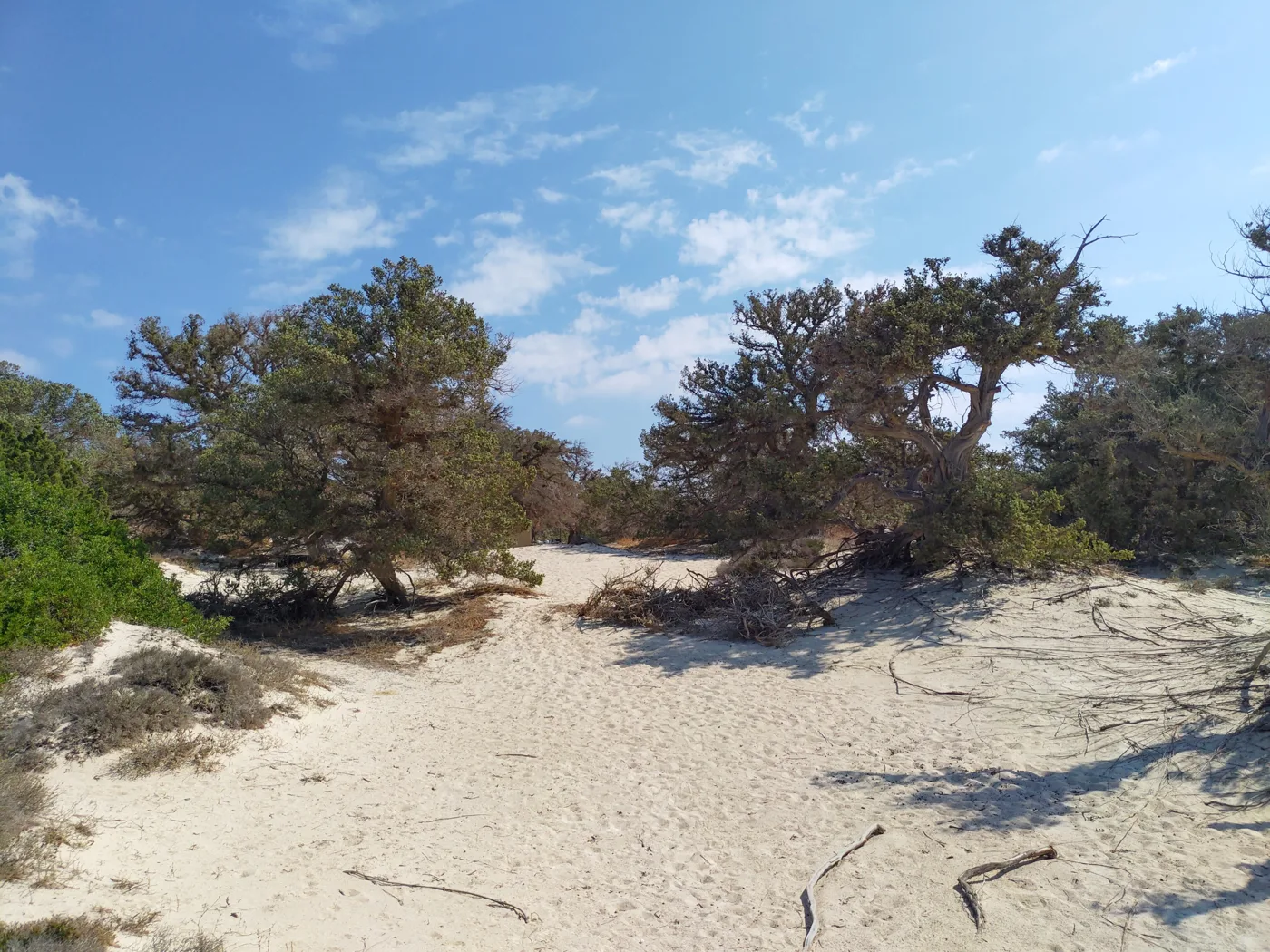
Inside the cedar forest.
The largest in Europe.
Through the trees.
Sand and shrubs.
Photos: Konstantinos Papavasileiou (CC BY-SA 4.0), Tomisti (CC BY-SA 4.0), Astrataki (CC0), NaLika (CC BY-SA 4.0) · Wikimedia Commons
Chrysi is a protected area. Staying overnight and camping are forbidden, as are fires and taking sand, shells or pieces of cedar with you. Take your rubbish back on the boat.
🏖️ The beaches
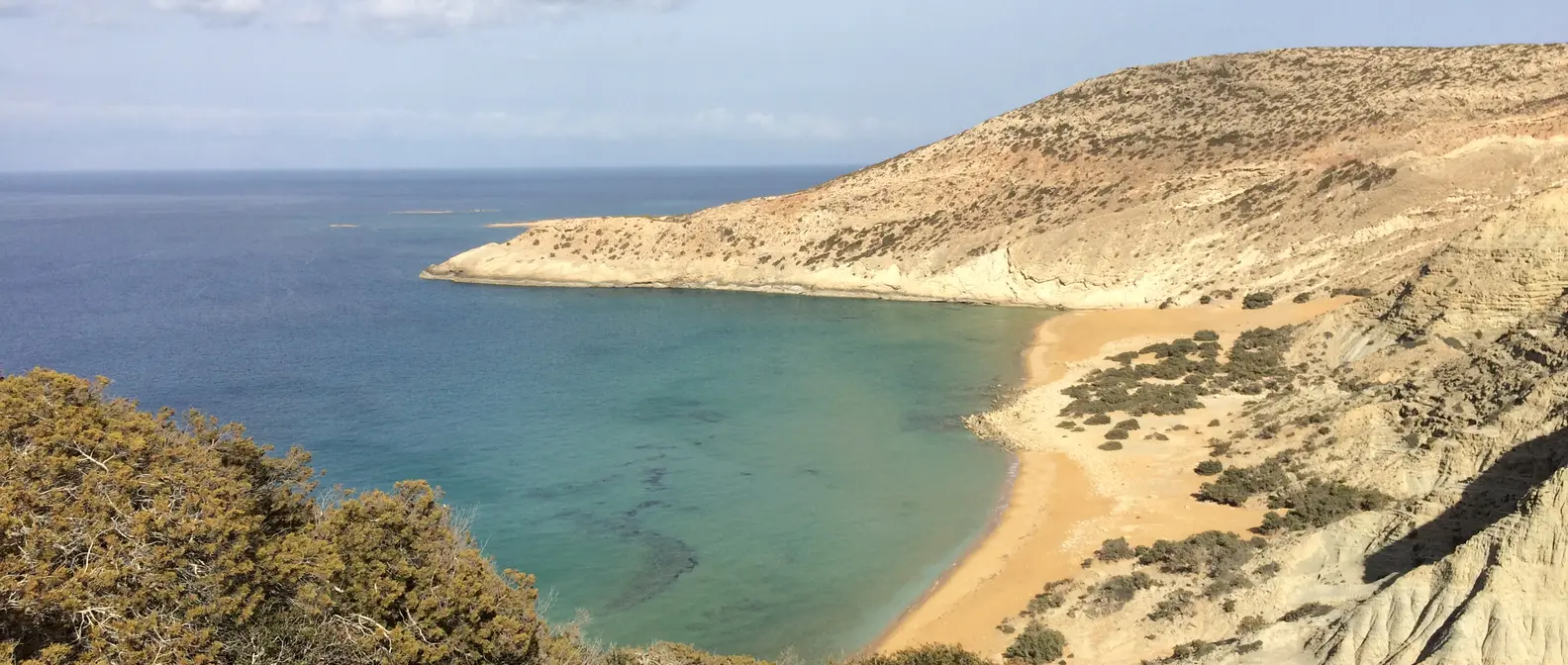
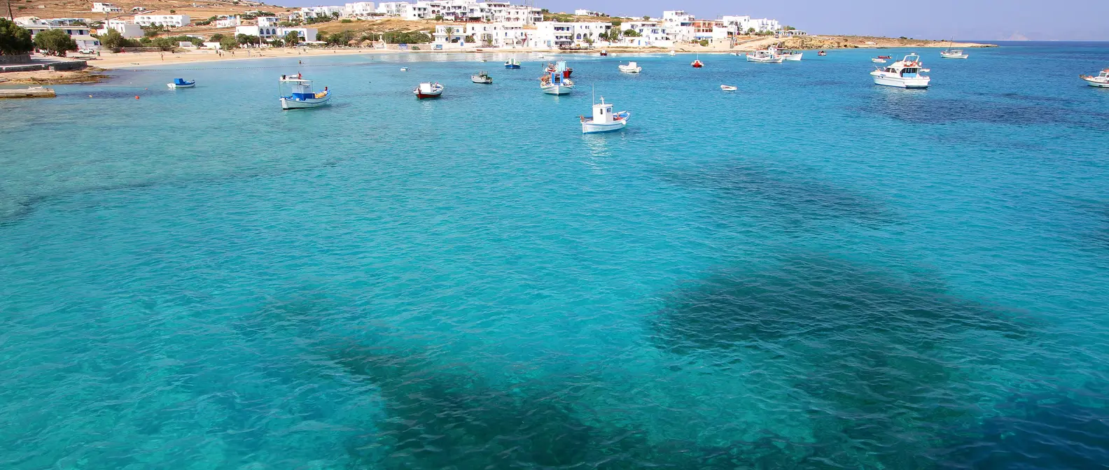
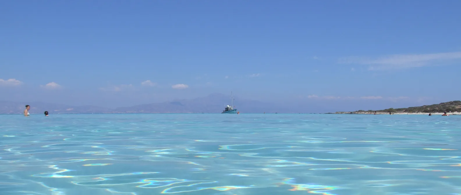
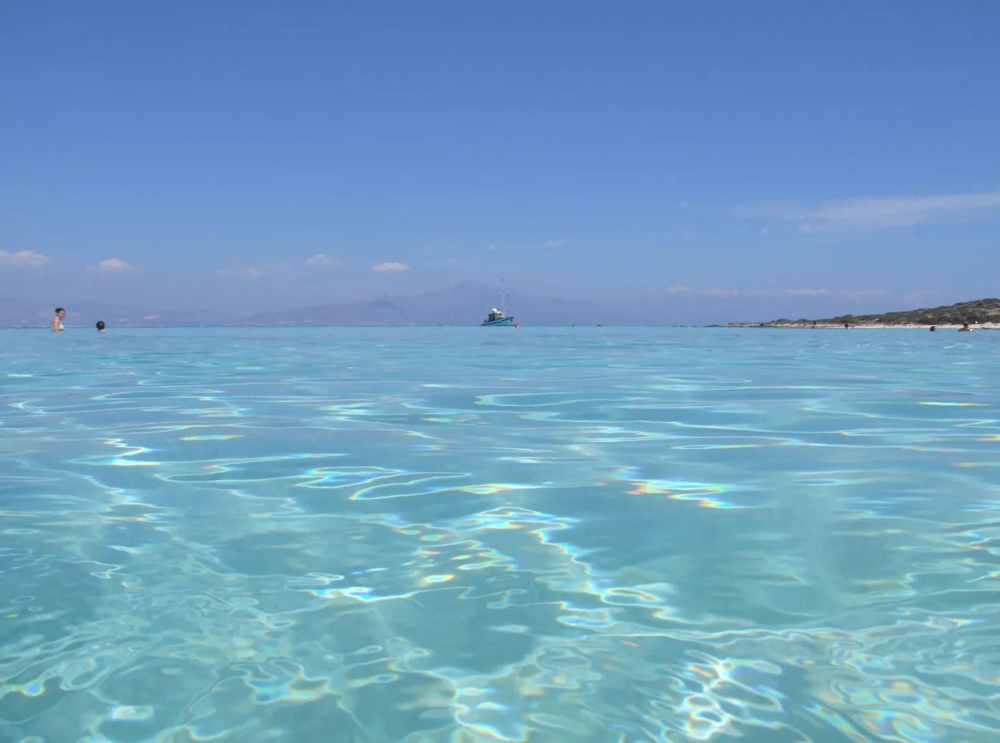
Golden Beach, on the south coast, next to the jetty, is the best known: snow-white sand, shallow water that changes from clear to turquoise, straw umbrellas and sunbeds. On the north coast, Belegrina is different: its shore is covered with millions of tiny pink and white shells, and on the rocks around you will see fossils, sea creatures that turned to stone millions of years ago. A little further east, Kataprosopo has small rocks and crystal-clear water for snorkelling, with Mikronisi opposite.
- Golden Beach: white sand, shallow water, umbrellas, next to the jetty.
- Belegrina: pink shells and fossils, on the north coast.
- Kataprosopo: small rocks and clear water, opposite Mikronisi.
- Chatzivolakas: on the north coast, quieter, with cedars down to the sand.
Shallow and turquoise.
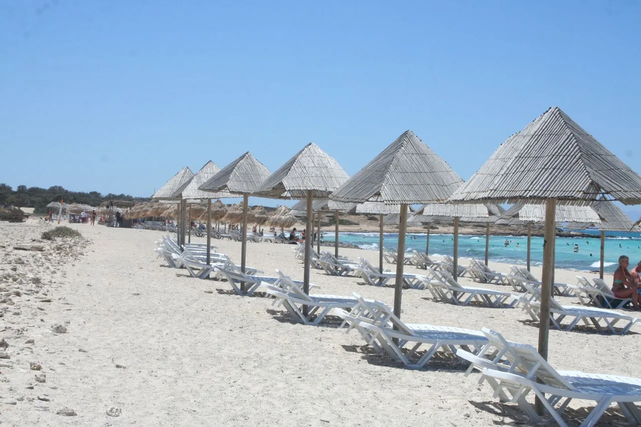
The most organised beach.
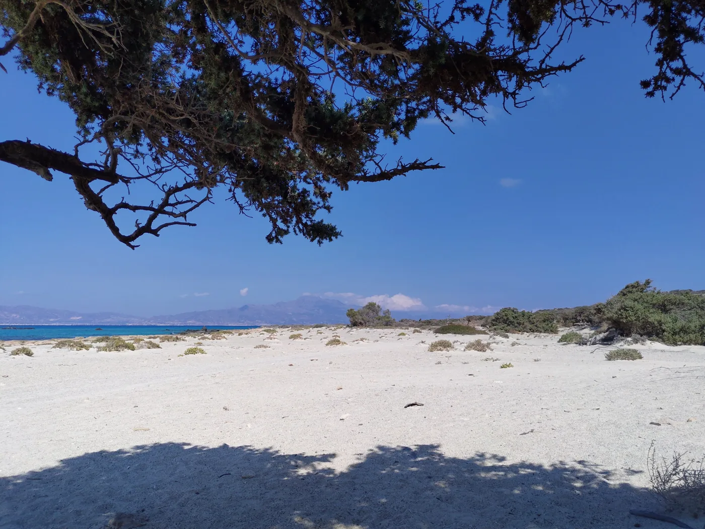
White, almost like salt.
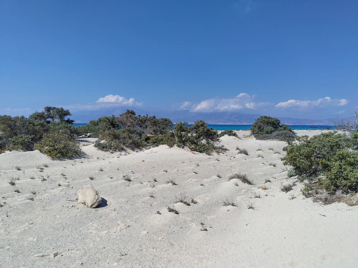
The way to the north coast.
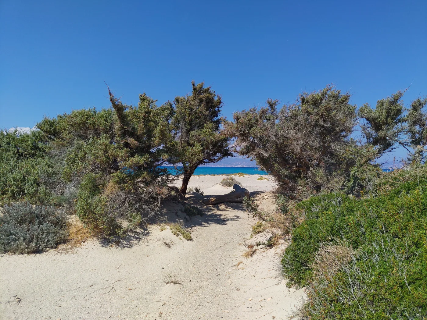
From one coast to the other.
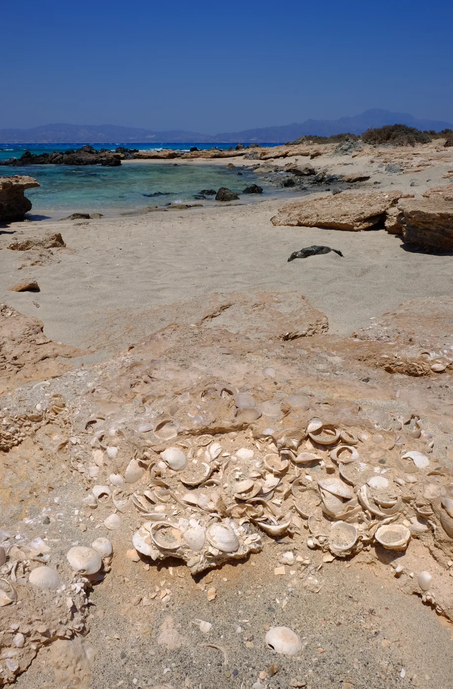
Shells inside the stone.
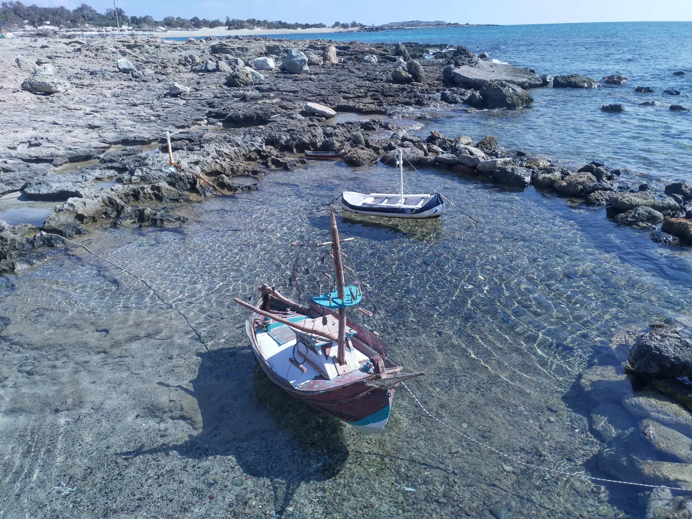
On the north coast.
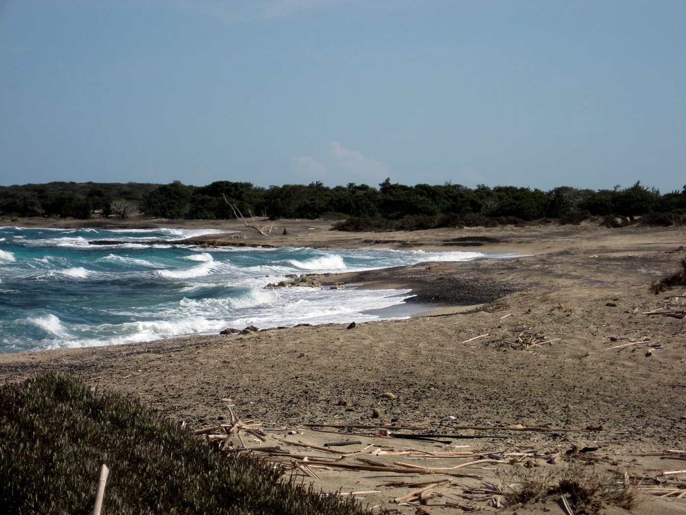
Wilder, with waves.
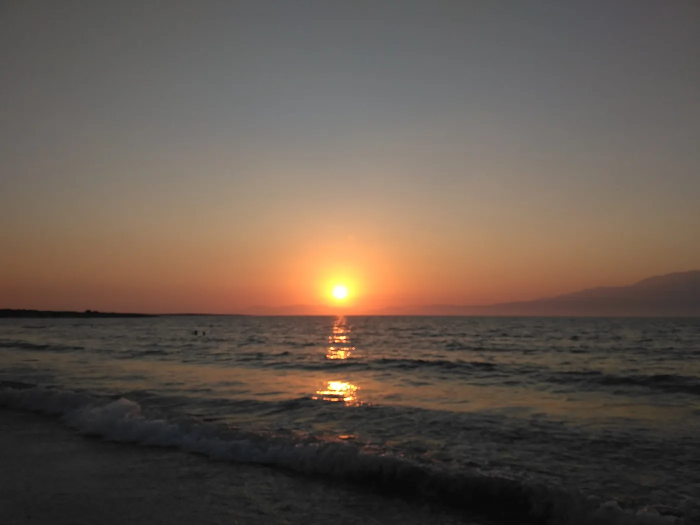
From Chrysi.
Photos: Dkoukoul (CC BY-SA 3.0), Marek Bakajsa (CC BY-SA 2.0), Tomisti (CC BY-SA 4.0), Quim Gil (CC0), Paul (CC BY-SA 2.0), NaLika (CC BY-SA 4.0) · Wikimedia Commons
Water, food for the day, a hat and sunscreen. There is only one canteen and a small taverna near the jetty. Take flip-flops too: at midday the sand burns.
⛪ The lighthouse, the chapel and the history
Though empty today, Chrysi was not always uninhabited. On the west side, near the lighthouse, stands the chapel of Agios Nikolaos, with a wooden iconostasis and icons, and around it traces of old salt pans, a Roman cemetery and ruins from Minoan and Roman times. The fishermen of Ierapetra came here for centuries, and in the days of the pirates the island was a refuge for ships waiting for good weather.
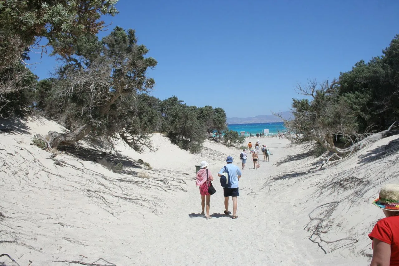
Ten minutes to the beach.
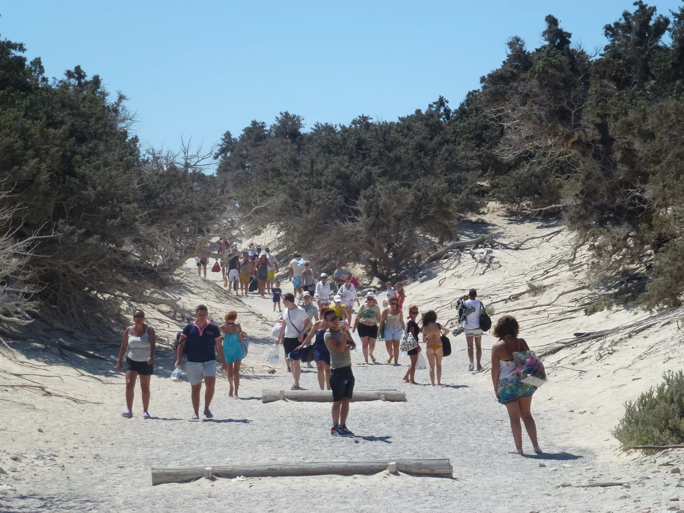
In August, at midday.
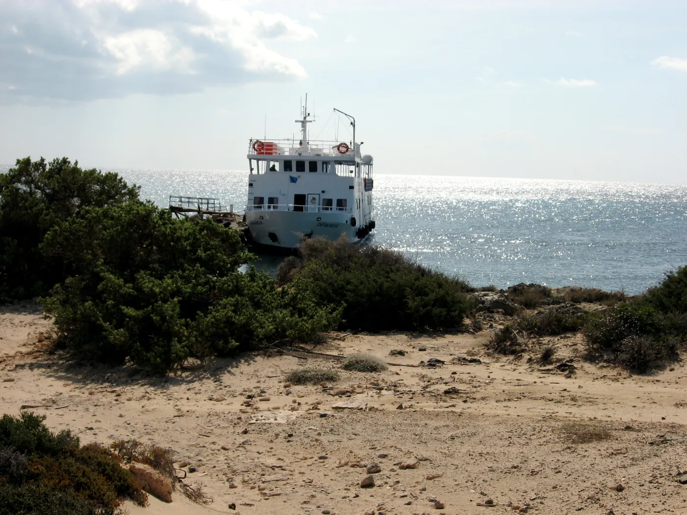
From Ierapetra.
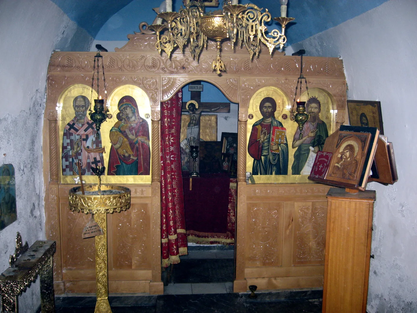
The island’s chapel.
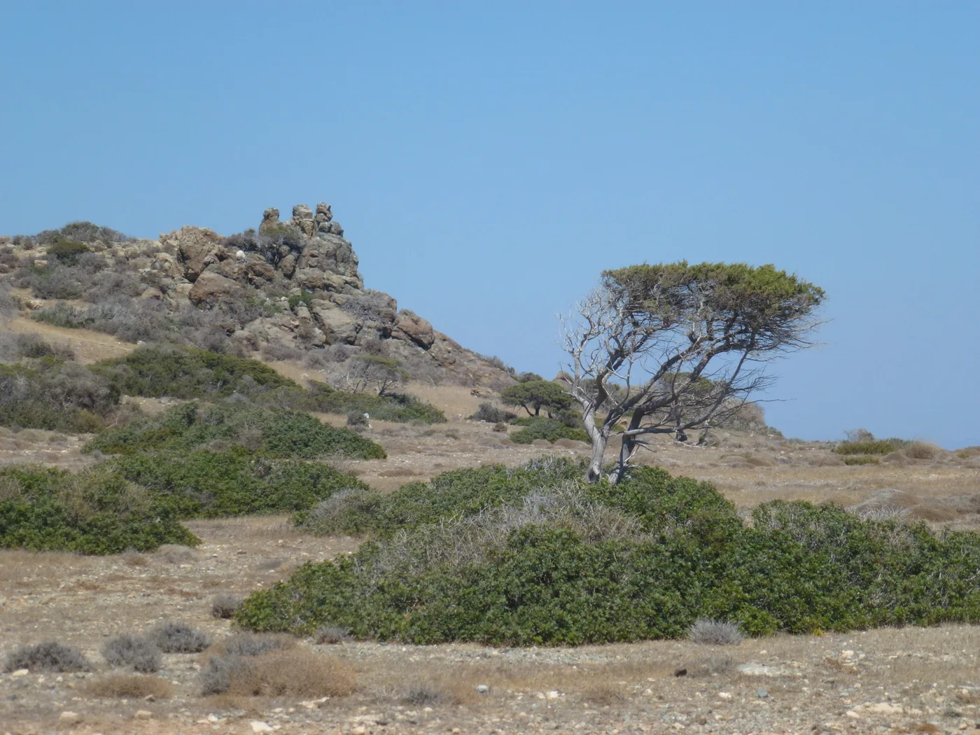
Rocks and shrubs.
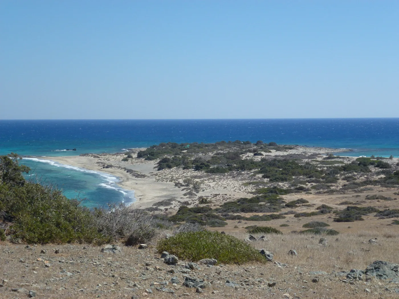
Wild and empty.
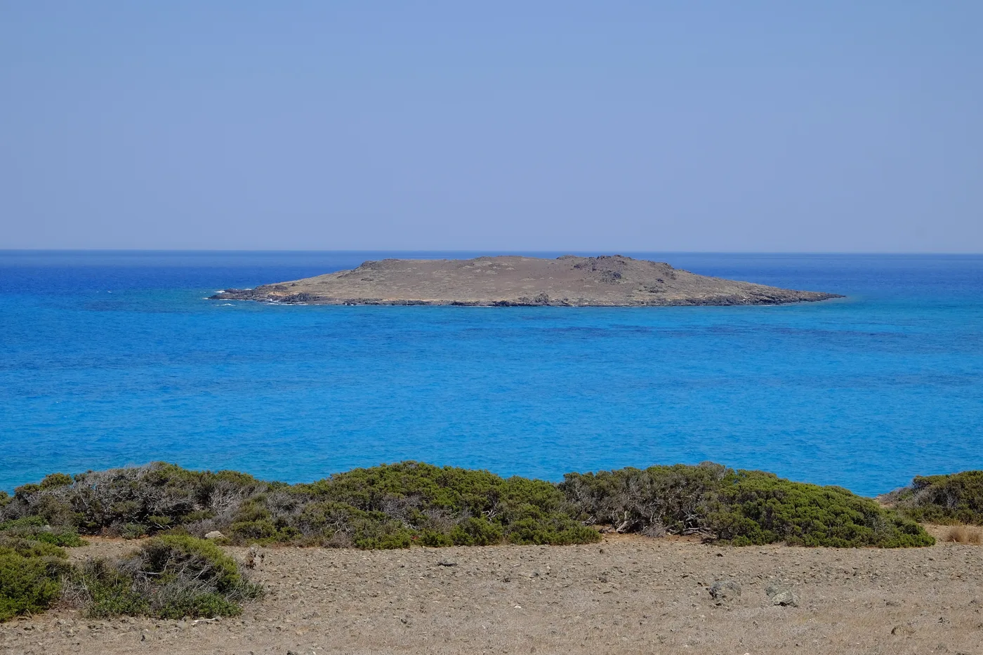
Opposite Chrysi.
Photos: Marek Bakajsa (CC BY-SA 2.0), Argymeg (CC BY-SA 4.0), Paul (CC BY-SA 2.0), Quim Gil (CC0) · Wikimedia Commons
🏙️ Ierapetra
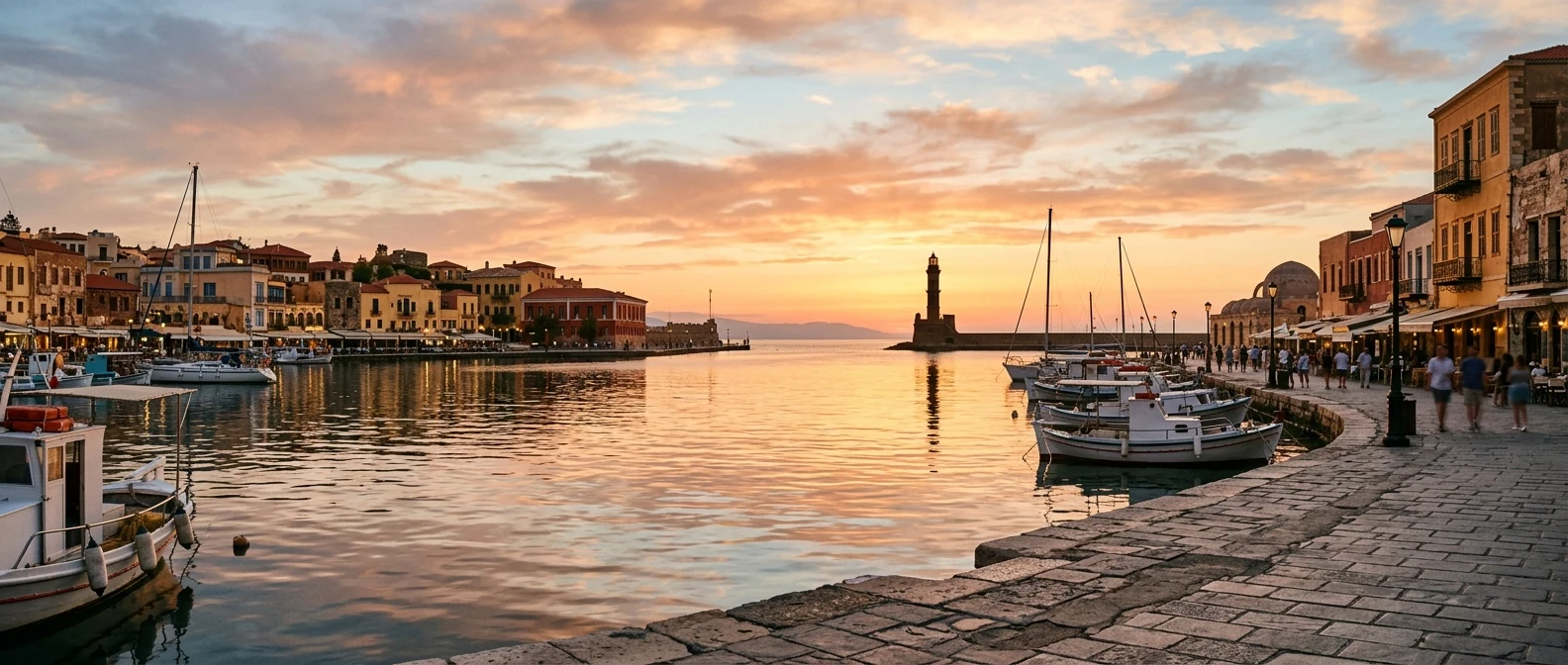
Ierapetra, the southernmost town in Europe, is your base for Chrysi. It has a long seafront with tavernas and cafés, the old town with its narrow lanes, and at the end of the harbour the Venetian castle, the Kales. Stay a night, walk along the seafront at dusk and eat fish before or after Chrysi.
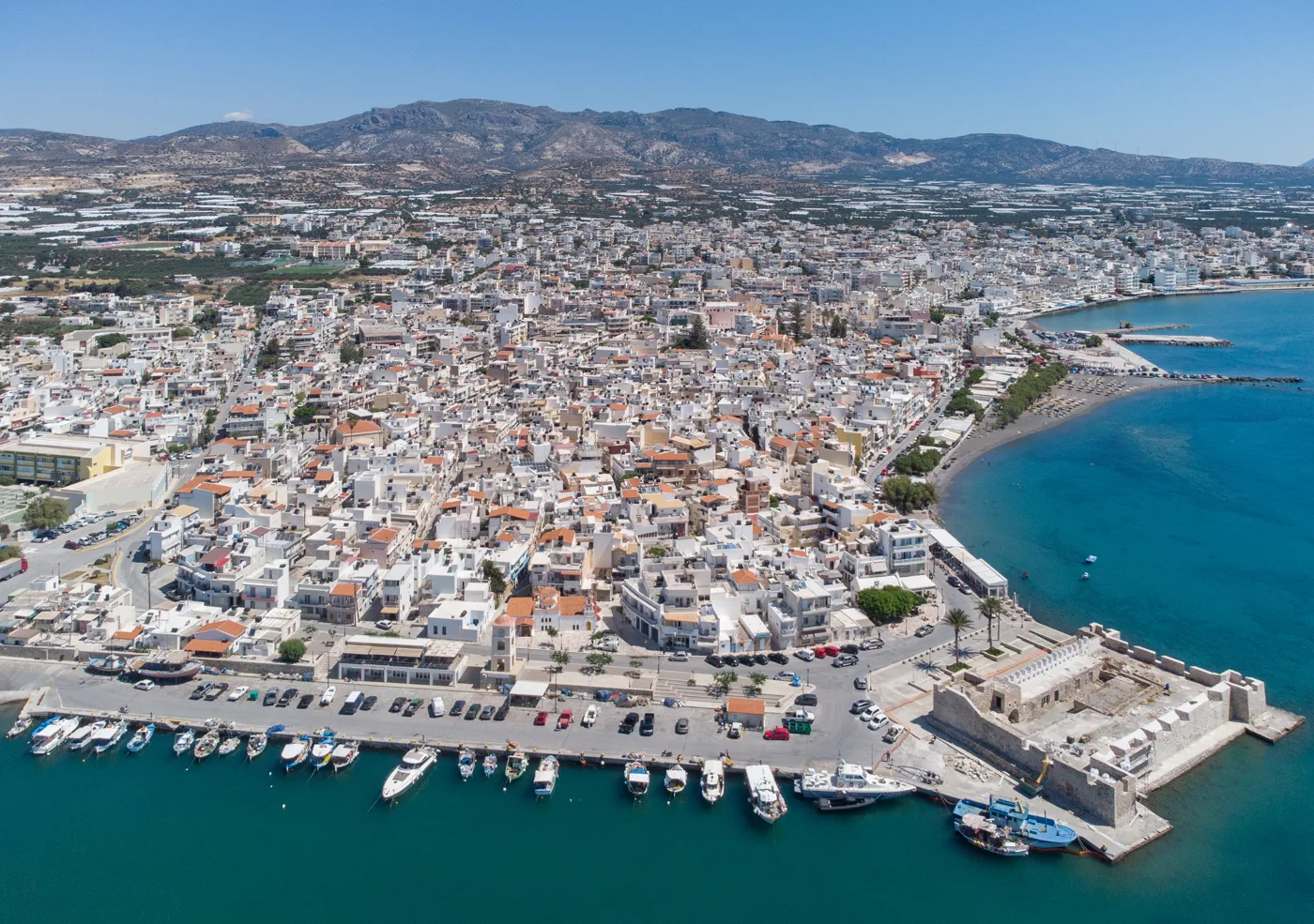
The southernmost town in Europe.
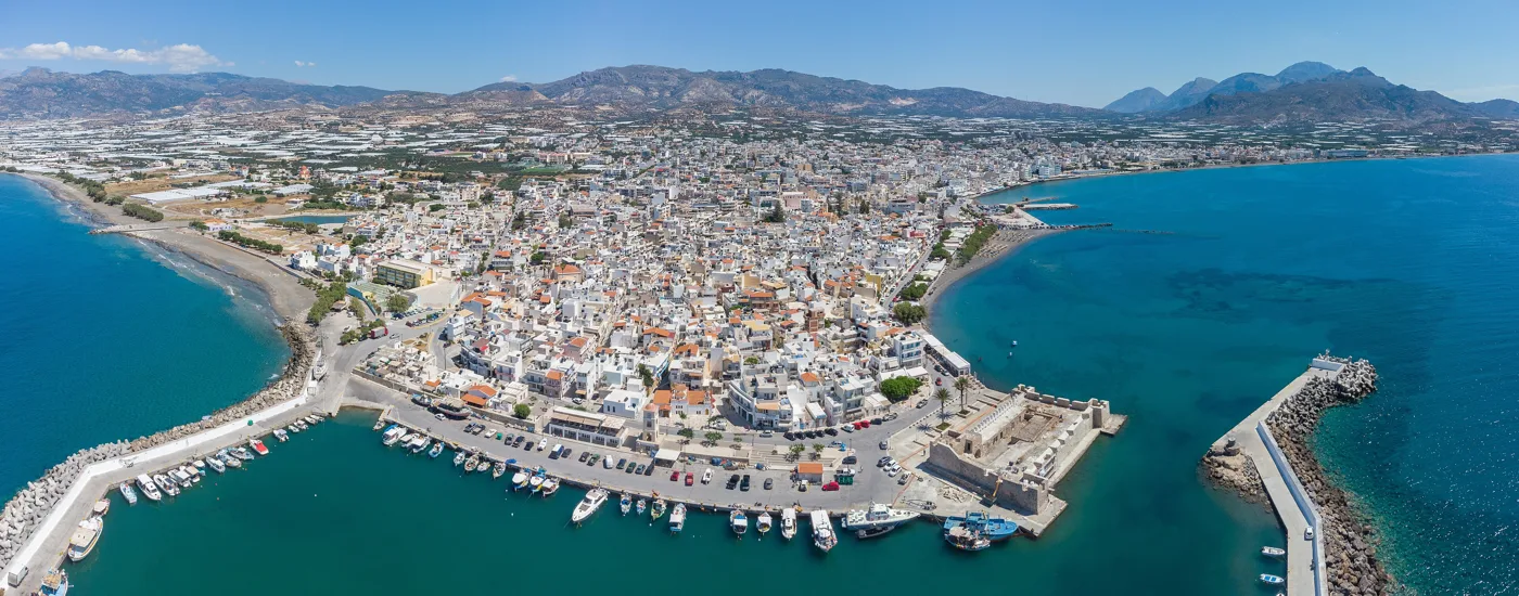
Boats leave from here.
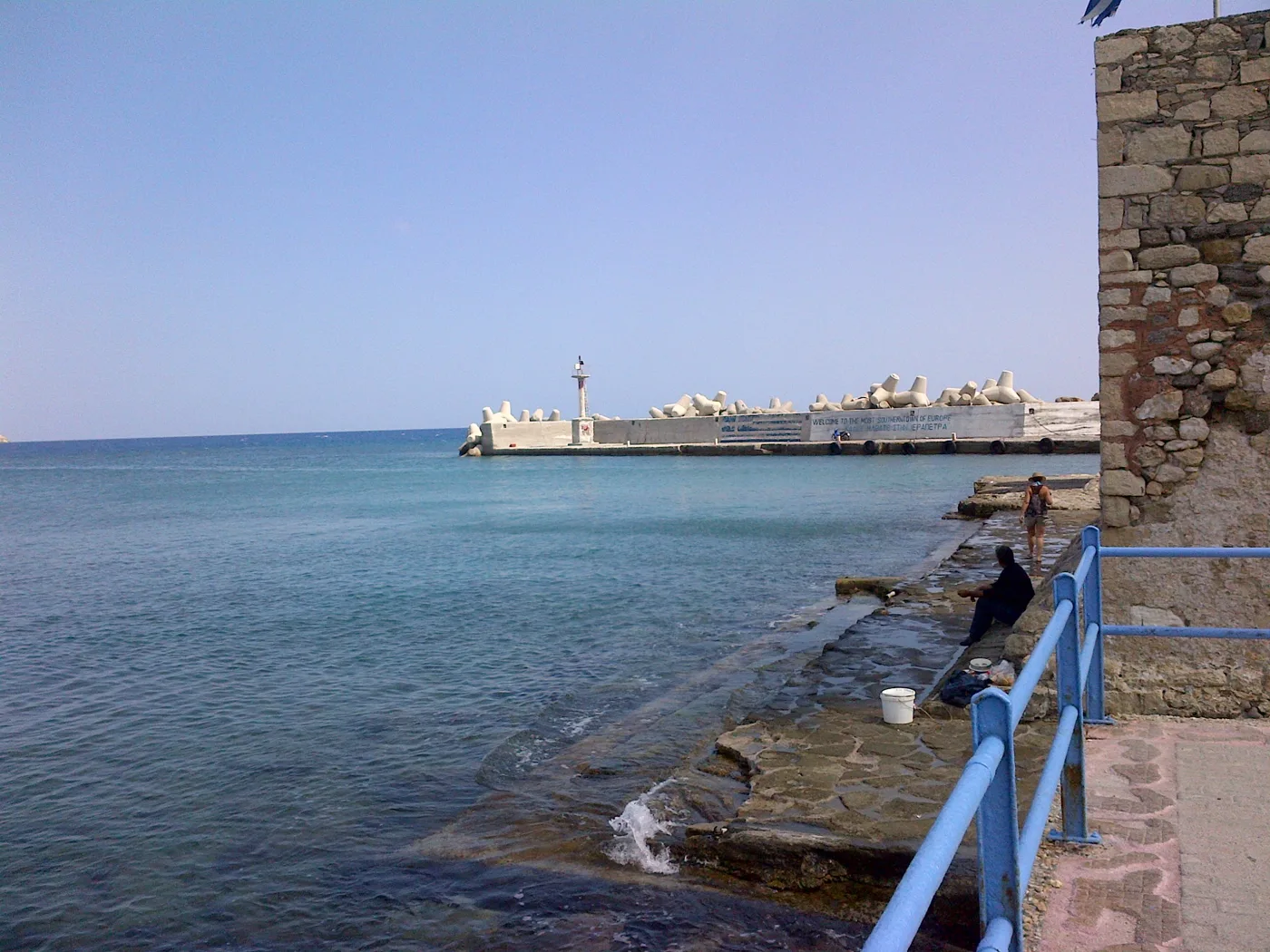
The Venetian castle.
Photos: C messier (CC BY-SA 4.0), DOWIMA (CC BY-SA 4.0) · Wikimedia Commons
🍽️ What to eat
On the island there is only a small taverna near the jetty and a canteen, so the food is simple: salad, sandwiches, something grilled. The real food is in Ierapetra: fresh fish, octopus, dakos, kaltsounia with mizithra and vegetables from the local greenhouses, among the tastiest in Greece. And, of course, raki at the end.
📅 When to go
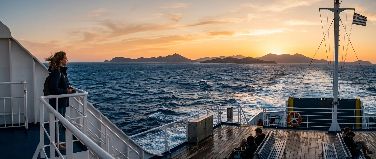
The boats run every day from May to October. June, September and October are the best months: warm sea, fewer people and a sun that doesn’t burn as much. In July and August the island fills up, and the sand gets very hot at midday. Before you book, check the weather: with a strong south wind, trips may be cancelled.
✈️ How to get there from Athens
| How | Duration | From | Notes |
|---|---|---|---|
| Plane and car | About 50 minutes + 1.5 hours | Athens airport → Heraklion → Ierapetra | The easiest way. Many flights every day. |
| Ferry and car | About 9 hours + 1.5 hours | Piraeus → Heraklion | Overnight ferry with a cabin. |
| Boat | About 50 minutes | Ierapetra → Chrysi | Every morning, May to October, return in the afternoon. |
From Ioulianou 50 take Line 1 to Monastiraki and change to Line 3 for the airport, or Line 1 straight to Piraeus for the ferry. From Heraklion, KTEL buses go to Ierapetra. For the rest of Crete, see our guide to Crete.
🗓️ One day on Chrysi
The boat and Golden Beach
The first boat from Ierapetra, around ten. From the jetty walk to Golden Beach, ten minutes through the cedars, and swim before it fills up. Then head west, towards the lighthouse and the chapel of Agios Nikolaos.
Belegrina and the cedar forest
Cross the island to the north coast, to Belegrina, for the pink shells and the fossils, and swim at Kataprosopo, opposite Mikronisi. Come back through the cedar forest for the return boat, and in the evening eat fish on the seafront of Ierapetra.
Frequently asked questions
Can I stay the night on Chrysi?
No. Chrysi is a protected area, and staying overnight and camping are forbidden. You go in the morning by boat and return to Ierapetra in the afternoon.
How long is the trip?
About fifty minutes on the big boats from Ierapetra, less on the fast ones. On the island you usually stay five to six hours.
Can I take shells from Belegrina?
No. The shells, the sand and the cedar wood are protected, and the fines are high. Take photos and leave them where you found them.
Is there shade on Chrysi?
A little. At Golden Beach you can rent an umbrella, and elsewhere the only shade is under the cedars. Sit at the edge of the forest, not on the dunes.
— Kathy