🪪 The island at a glance
📍 Where it is
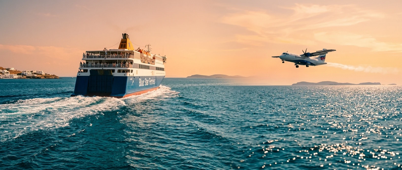
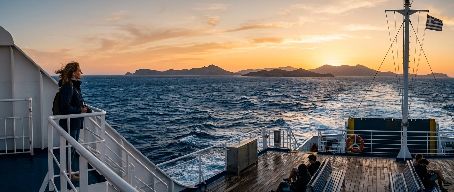
Spinalonga lies in north-eastern Crete, in the Lasithi prefecture, at the entrance to the bay of Elounda, which opens onto the great bay of Mirabello. It has no port for ships and no inhabitants: you go only to visit, by boat from Plaka, Elounda or Agios Nikolaos. From Athens, you fly to Heraklion in fifty minutes or take the overnight ferry from Piraeus, and from there you drive about an hour to Elounda.
📍 Where Spinalonga is
Spinalonga is an islet in north-eastern Crete, at the entrance to the bay of Elounda, near Agios Nikolaos. Spinalonga is shown in red, and in green the Athens airport, Piraeus and Heraklion, from where you arrive.
🗺️ Map of the bay
The bay of Elounda looks like a lake: on the east it is closed off by the Kalydon peninsula, which the locals also call Spinalonga, and which is joined to Crete only by a narrow strip of land at Poros. At its northern tip, separated by a narrow channel, is the islet with the fortress. Opposite, on the coast of Crete, is Plaka, a fishing village with tavernas on the water. To the south, Elounda, with its harbour and big hotels, and Poros, where the ruins of ancient Olous lie under the sea.
🗺️ Map of Spinalonga and the bay
Spinalonga closes the bay of Elounda from the north. Opposite it, on the coast of Crete, is Plaka, from where the boat takes ten minutes. To the south, Elounda, with its harbour, and Poros, where the Kalydon peninsula joins Crete and where sunken Olous lies. Tap each number to see what it is.
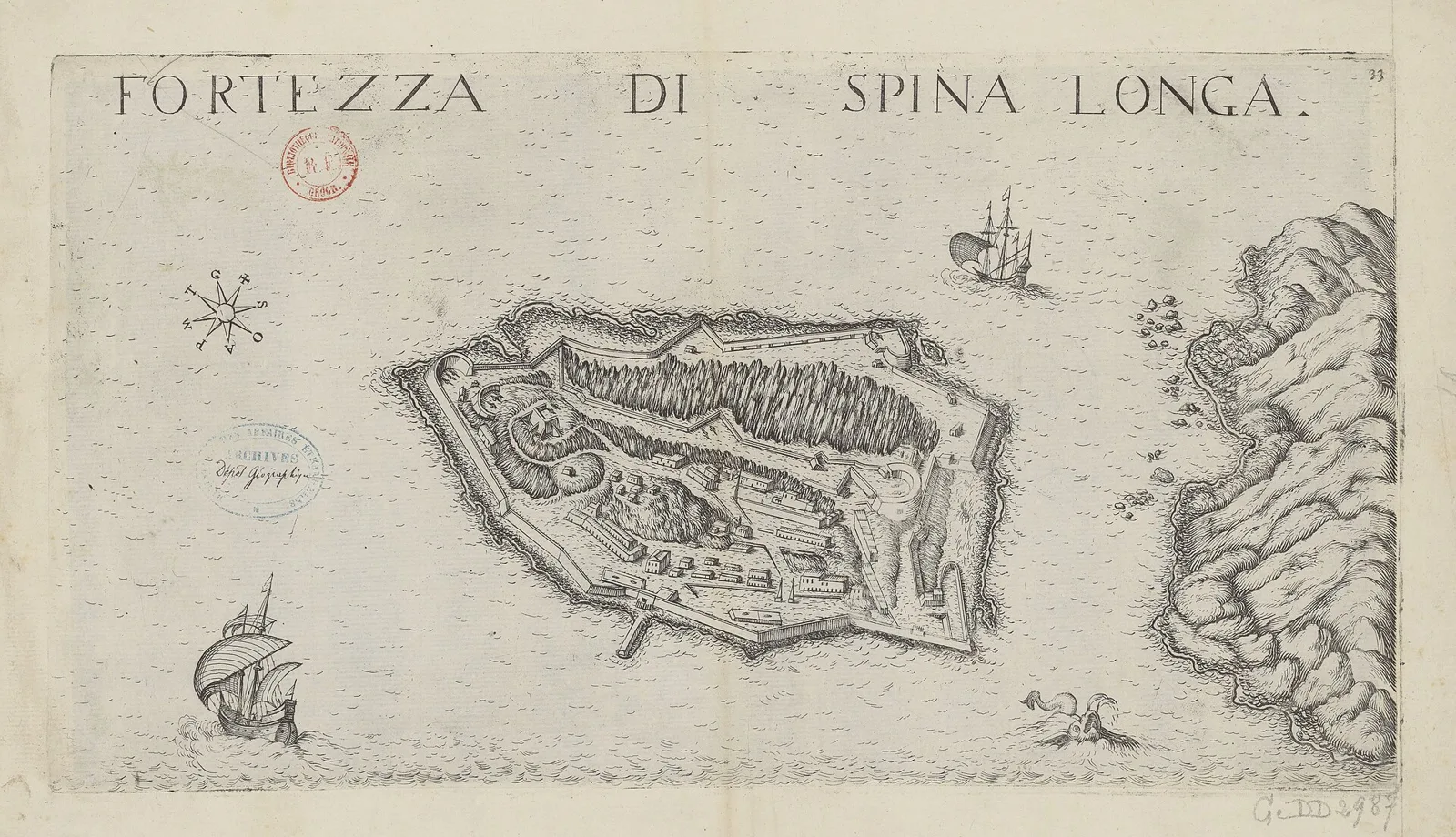
Map: Marco Boschini, 17th century (Public domain) · Wikimedia Commons
⚖️ Is it worth it? The pros and cons
Spinalonga is worth it for anyone in eastern Crete. It is not an island for staying or swimming, but a monument that holds you for two hours and stays with you for years. Here is an honest picture.
📊 At a glance, from 1 to 5
👍 The pros
- A complete Venetian fortress on the sea, with walls and bastions.
- The village of the leper colony, as the last inhabitants left it.
- One of the most moving stories of modern Greece.
- Easy access: ten minutes by boat from Plaka.
- Fish tavernas at Plaka with a view of the fortress.
👎 The cons
- Lots of people in summer, especially at midday.
- Hardly any shade: the sun burns on the stones.
- You don’t stay on the island, it is only for visiting.
- From Athens you need a flight or a ferry to Crete.
🏰 The Venetian fortress
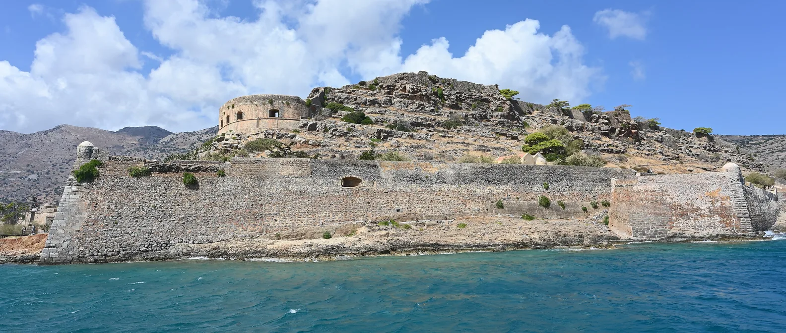
The islet had been fortified since ancient times, to protect the harbour of Olous. In 1579 the Venetians, who ruled Crete, built here one of the strongest fortresses in the Mediterranean, with walls around the whole island, bastions at the ends and cannons pointing out to sea. When the Ottomans took Crete in 1669, after the siege of Candia, Spinalonga stayed Venetian, a piece of Venice inside Turkish Crete, until 1715, when it was handed over by treaty.
Today you walk the path that circles the walls: you pass the round bastion on the sea, climb to the half-moon bastion of the Mezzaluna and to the top, where the Michiel bastion overlooks the whole bay. From there, the view of Plaka, the mountains of Crete and the bay of Mirabello is one of the finest on the island.
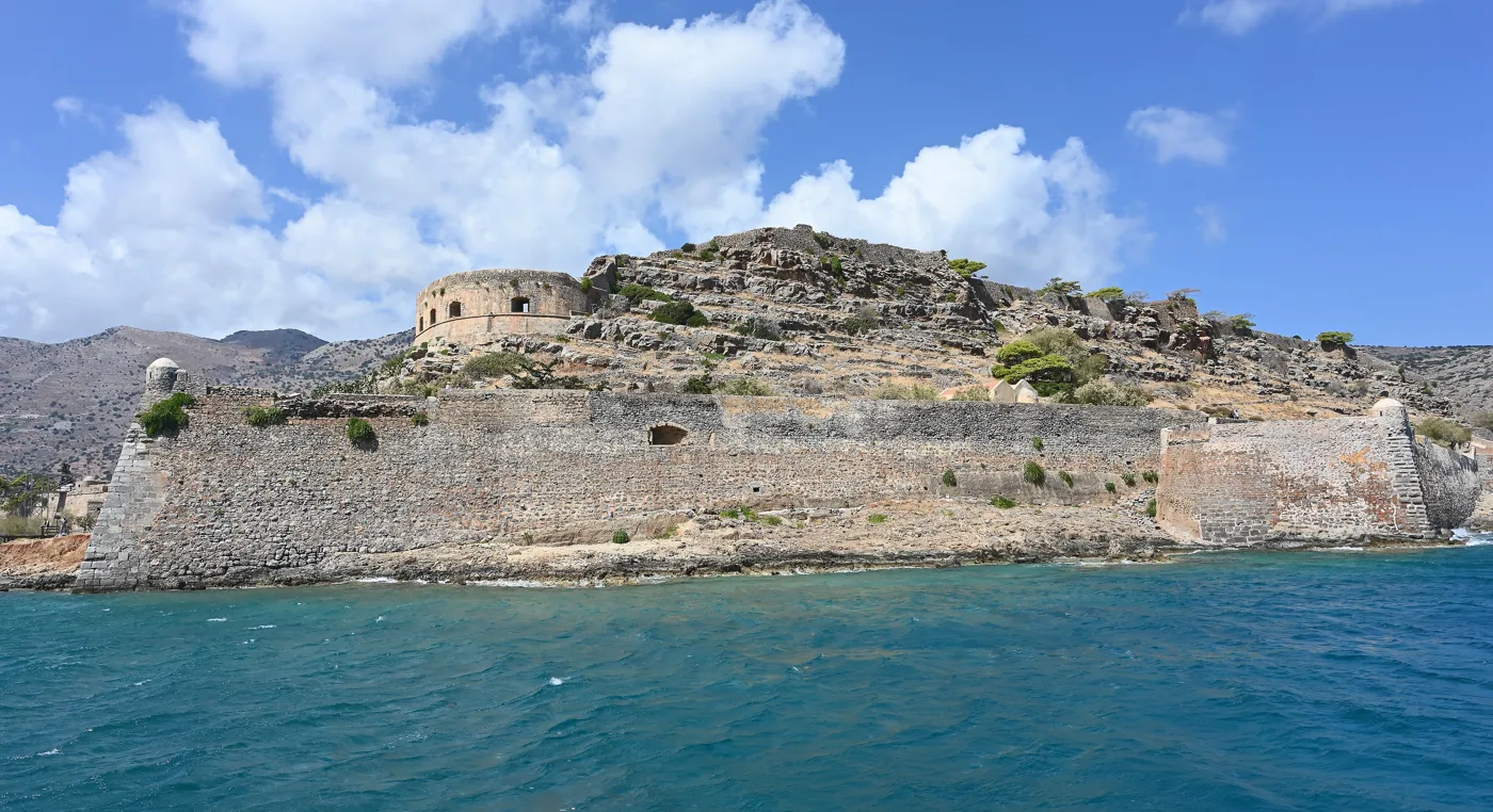
The walls of Spinalonga.
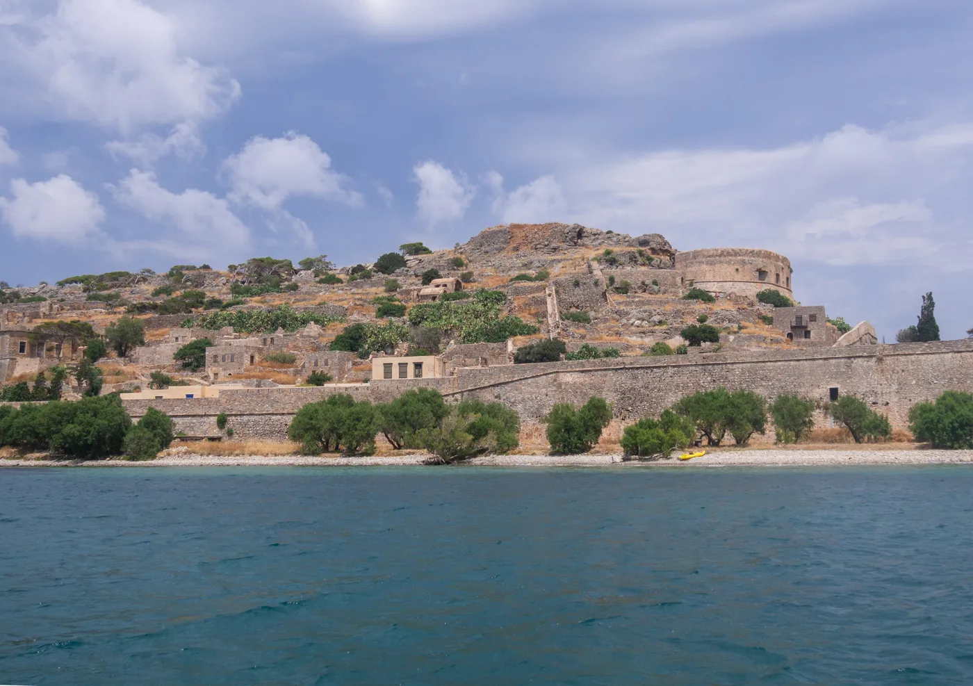
This is how you see it as you arrive.
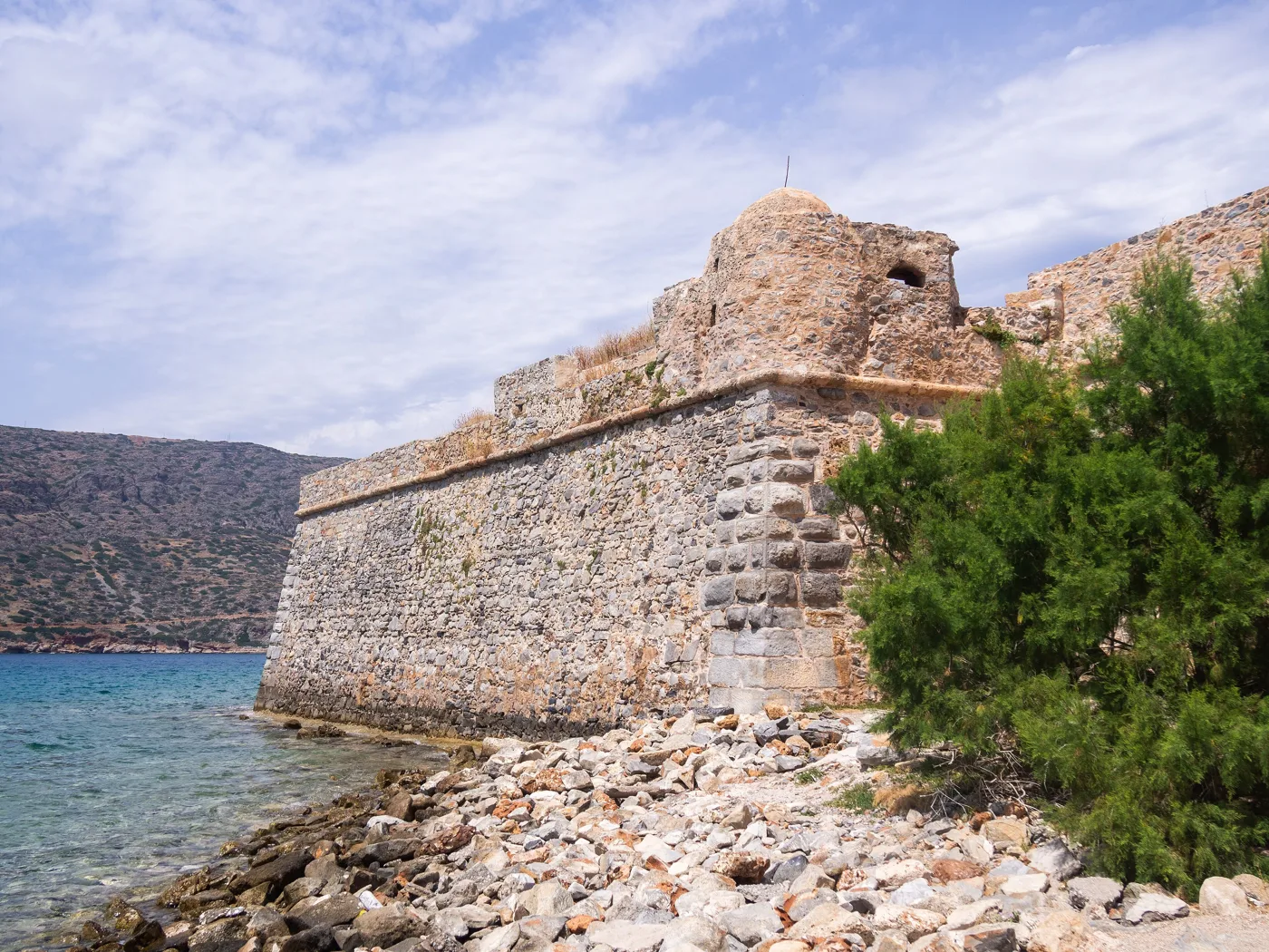
Stone on the waves.
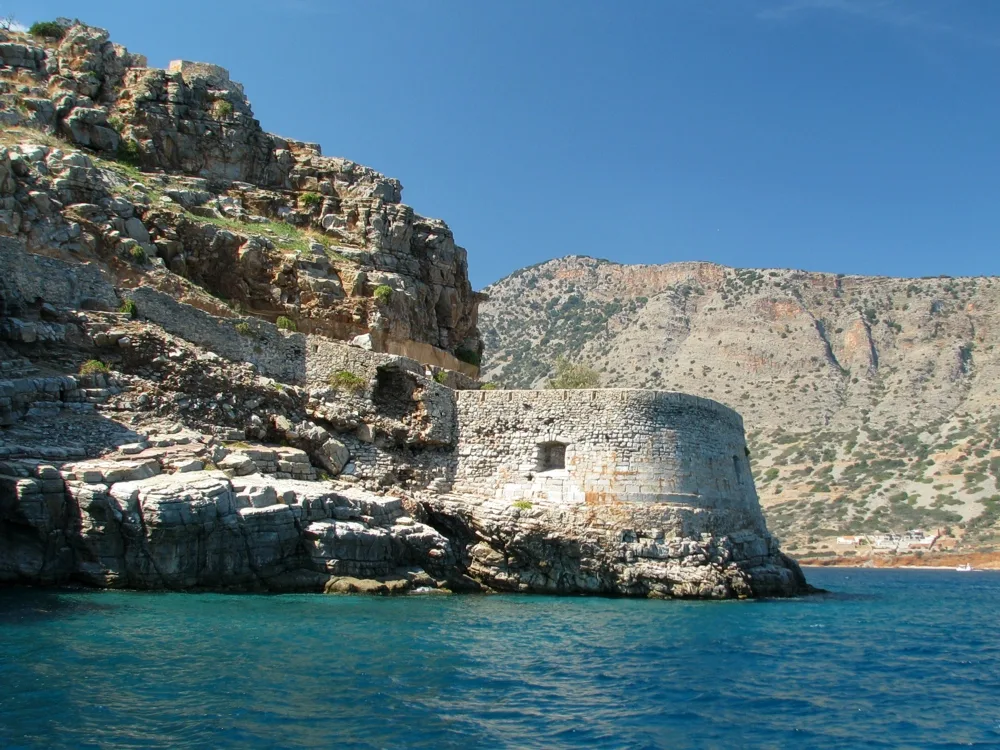
The half-moon bastion.
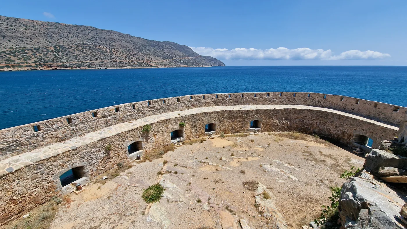
At the top of the island.
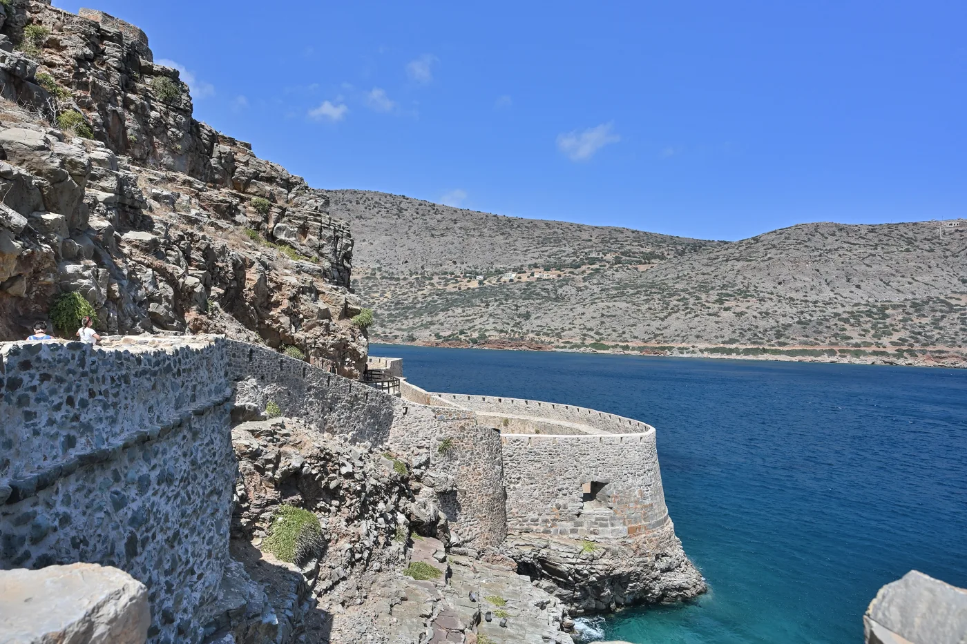
Above the bay.
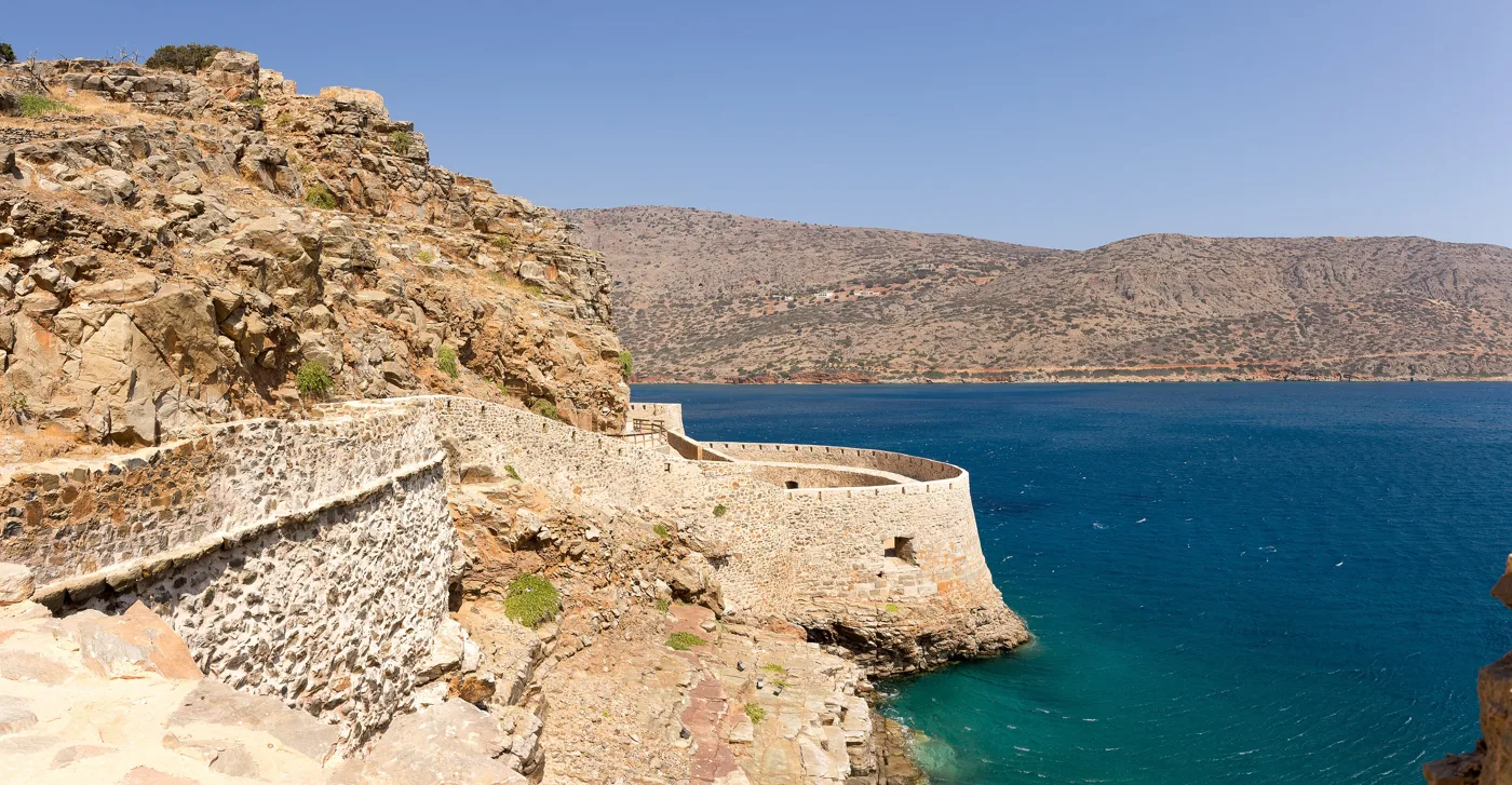
All around the island.
Photos: Cayambe (CC BY-SA 4.0), C messier (CC BY-SA 4.0), Robin & Bazylek (CC BY 2.0), Rigorius (CC BY-SA 4.0), Goosi (CC BY-SA 4.0) · Wikimedia Commons
There is almost no shade on Spinalonga, and the stones hold the heat. Take water, a hat and sunscreen, wear closed shoes for the cobbled paths, and go on the first boat in the morning, before the big boats arrive.
🏚️ The island of lepers
After the Venetians, the Ottomans built a village inside the walls, with houses, shops and a mosque, which by the end of the 19th century had hundreds of inhabitants. In 1903, the Cretan State emptied it and turned it into a leper colony: people with leprosy, from all over Crete and later from all over Greece, were sent here for good, separated from their families. They entered through a dark tunnel in the walls, which they themselves called Dante’s Gate, because no one came back through it.
And yet the patients built a community: they married, opened shops and cafés, had a barber, a church, a school, and fought for water, electricity and doctors. When a cure for leprosy was found, the colony closed in 1957, and the last inhabitant, a priest, left in 1962. Walk along the main street, with its half-ruined houses, to the cemetery at the southern end: it is one of those places that make silence audible. Victoria Hislop’s novel “The Island” and the TV series based on it made the story known all over the world.
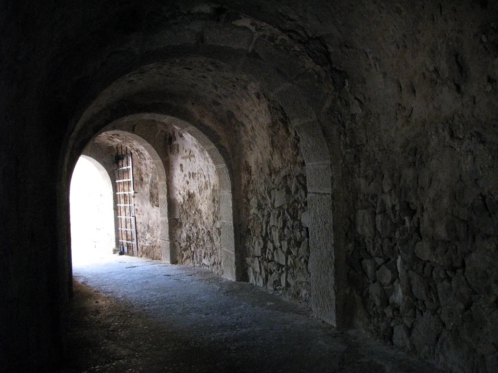
The patients entered here.
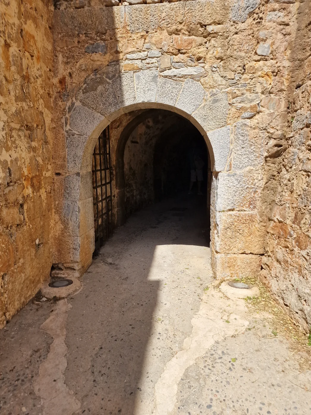
The passage through the walls.
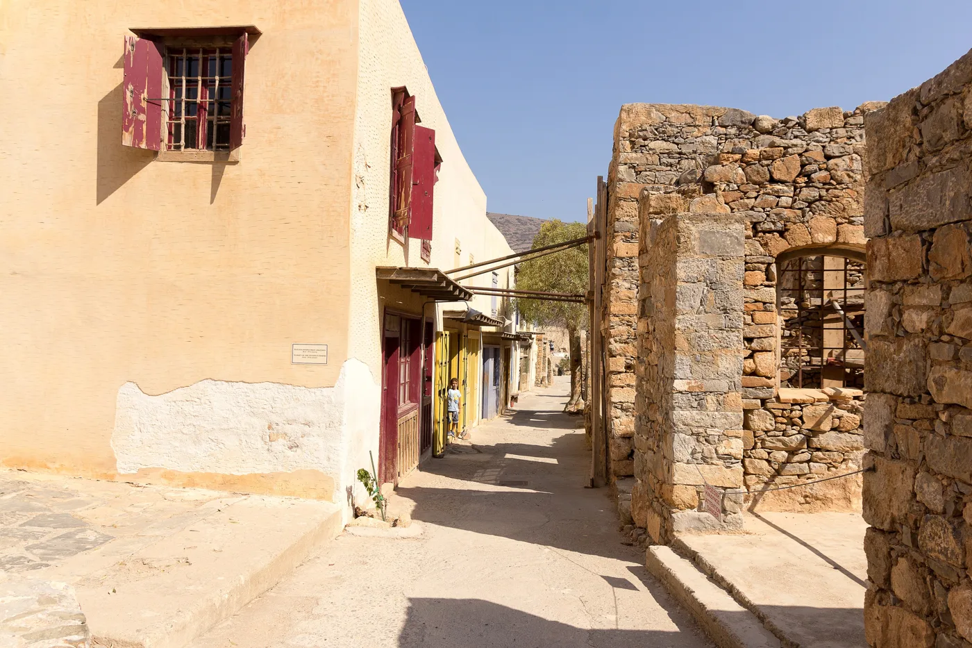
The shops of the village.
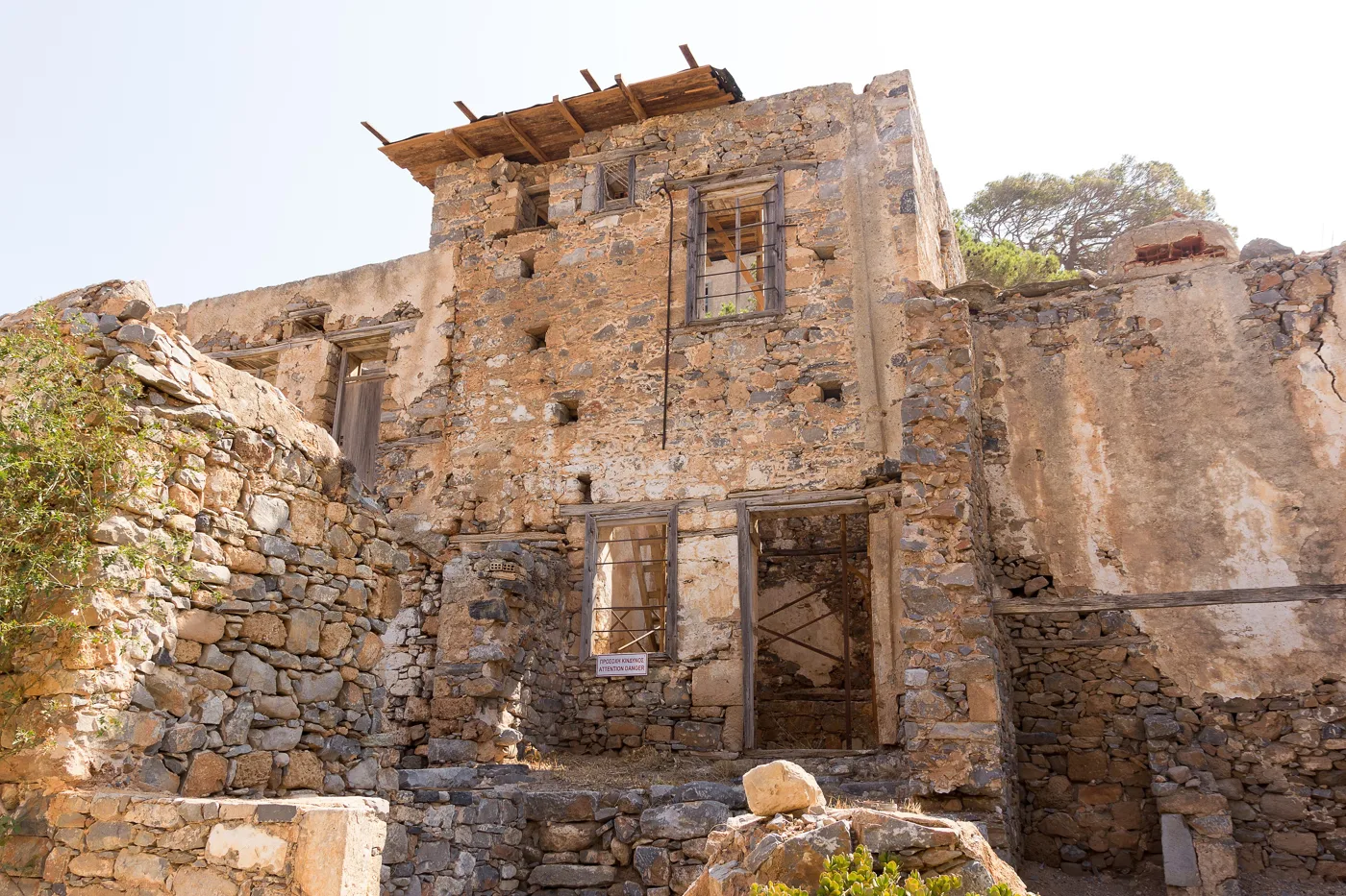
Half-ruined, as they were left.
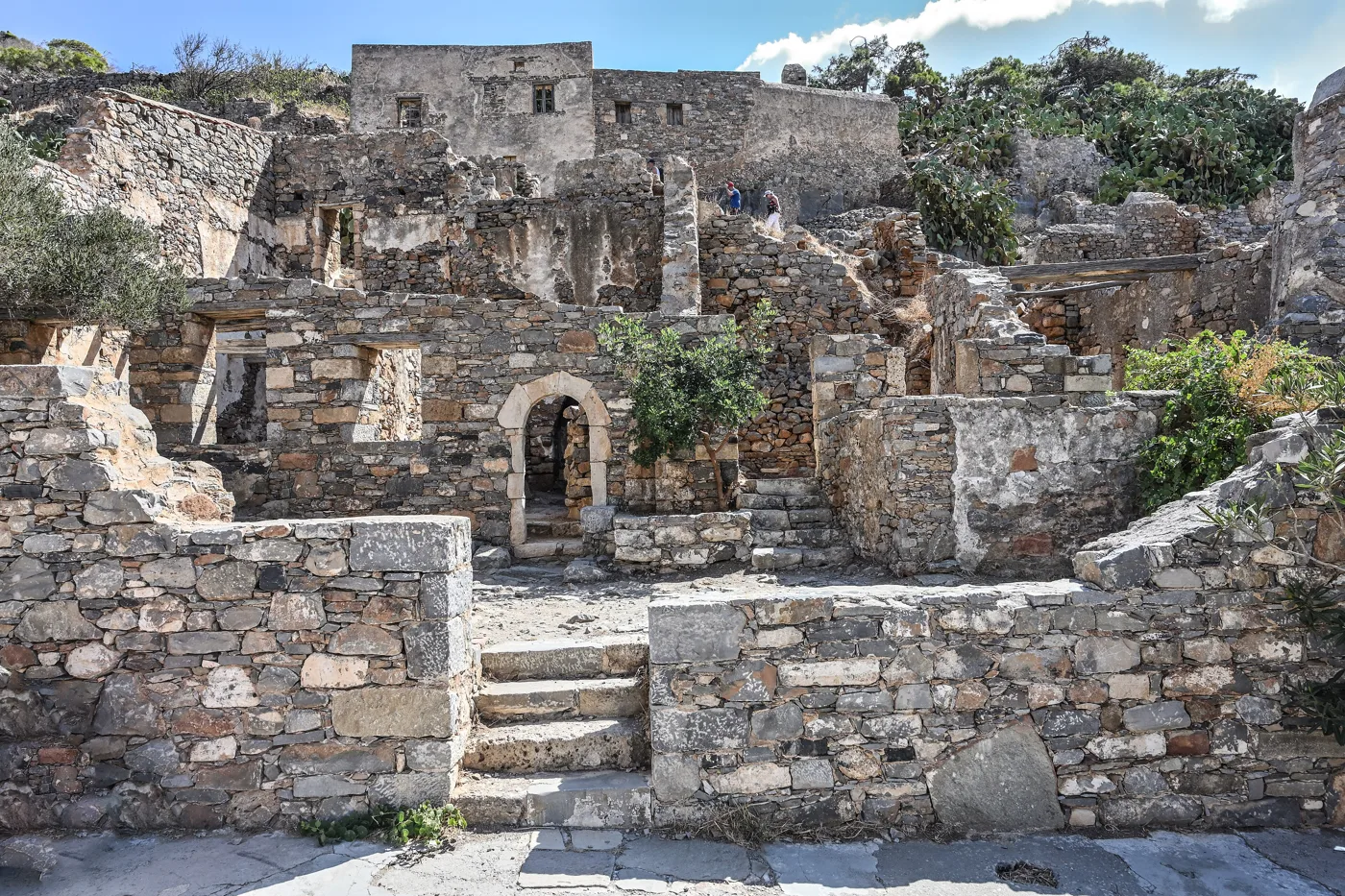
Houses on the slope.
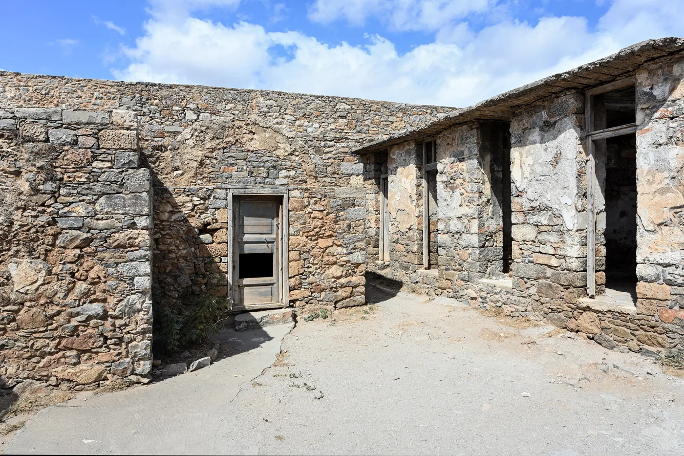
Of the leper colony.
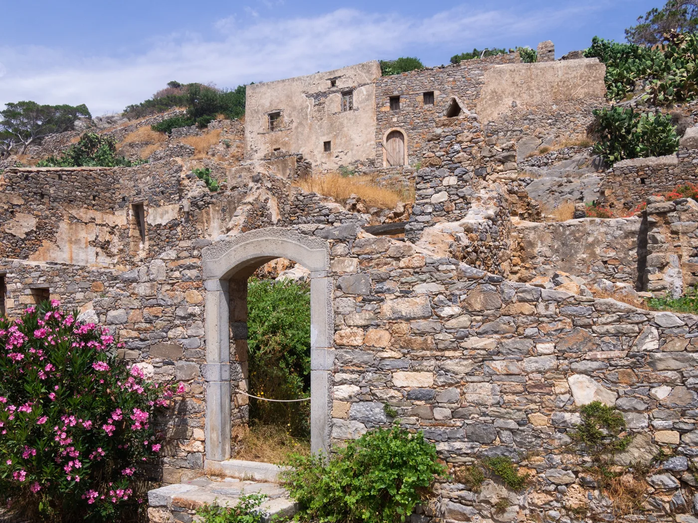
Oleanders in the ruins.
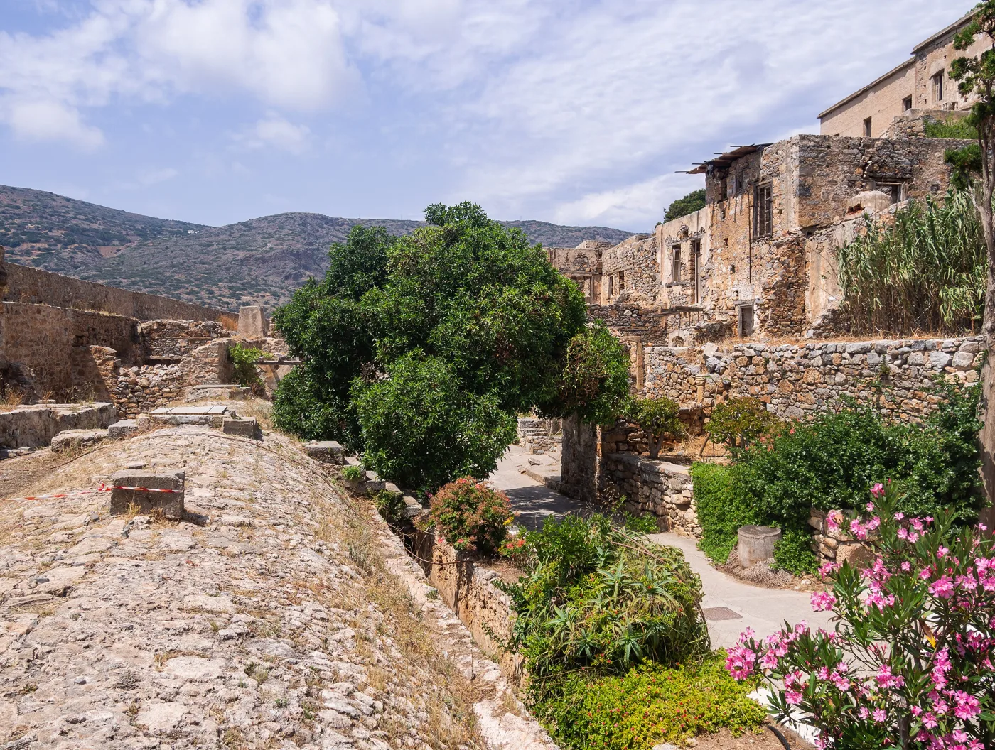
Climbing into the village.
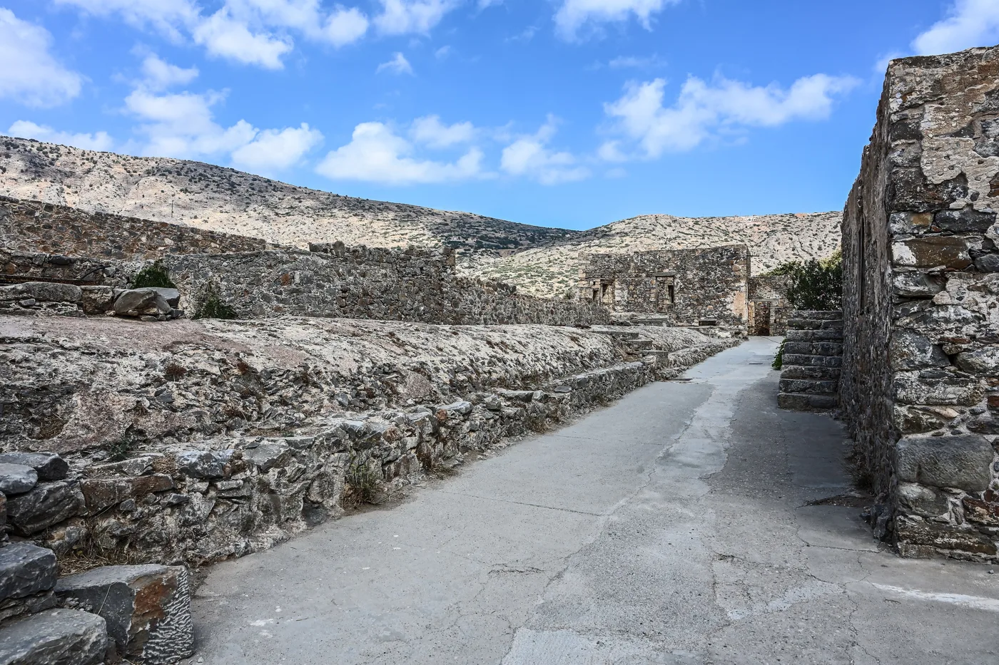
Between the walls.
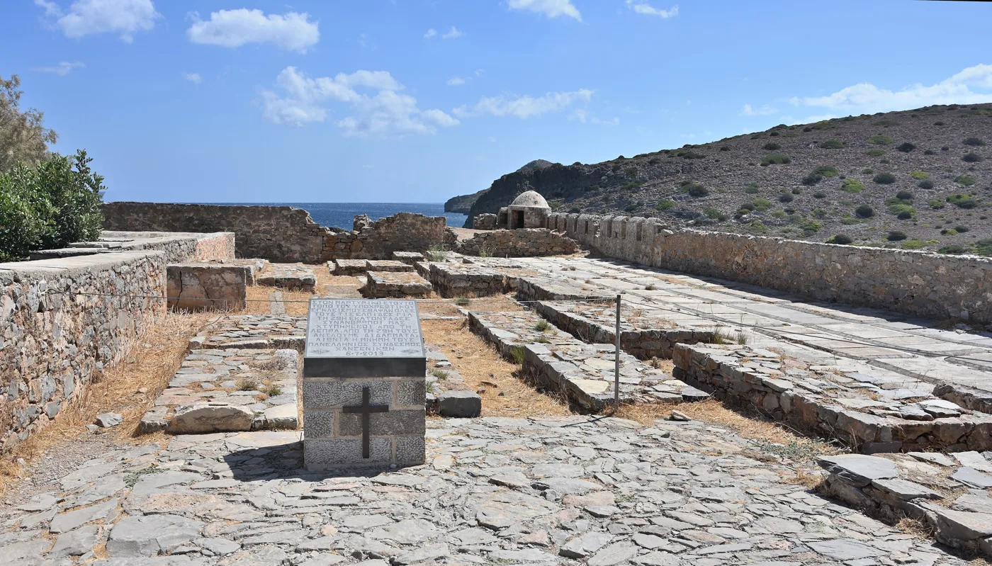
The patients’ last home.
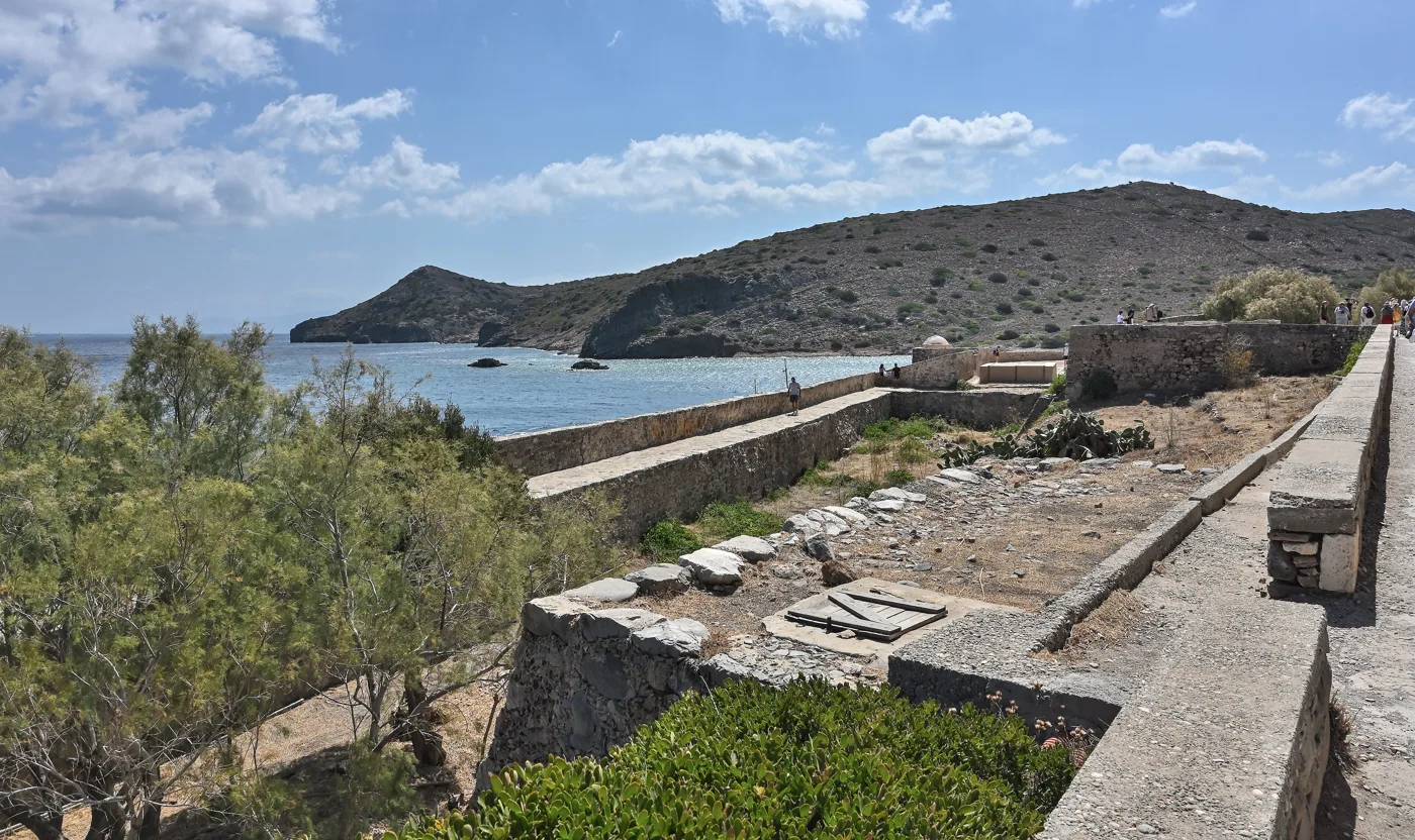
At the southern end.
Photos: Robin & Bazylek (CC BY 2.0), Rigorius (CC BY-SA 4.0), Goosi (CC BY-SA 4.0), Cayambe (CC BY-SA 4.0), C messier (CC BY-SA 4.0) · Wikimedia Commons
You pay for the archaeological site at the entrance, separately from the boat. Two hours are enough to see the whole island. If you want the story of the leper colony brought to life, ask in Plaka for a guide.
⛵ Plaka, Elounda and Kalydon
Plaka is the point of Crete closest to Spinalonga: an old fishing village, through which food and letters for the patients once passed, and which today has tavernas on the water and a pebble beach. Elounda, further south, is bigger, with a harbour full of boats, cafés and some of the most expensive hotels in Greece. Between them, at Poros, a narrow strip of land leads to the Kalydon peninsula, with old windmills, salt pans and the ruins of ancient Olous under the sea: with a mask you will see walls on the seabed.
- Plaka: ten minutes by boat, tavernas looking at the fortress.
- Elounda: about twenty-five minutes, many boats and cruises.
- Agios Nikolaos: about an hour, often with a swimming stop.
- Kolokytha: a beach on Kalydon, by boat or on foot from Poros.
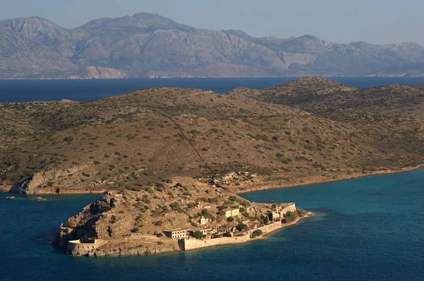
The islet and Kalydon.
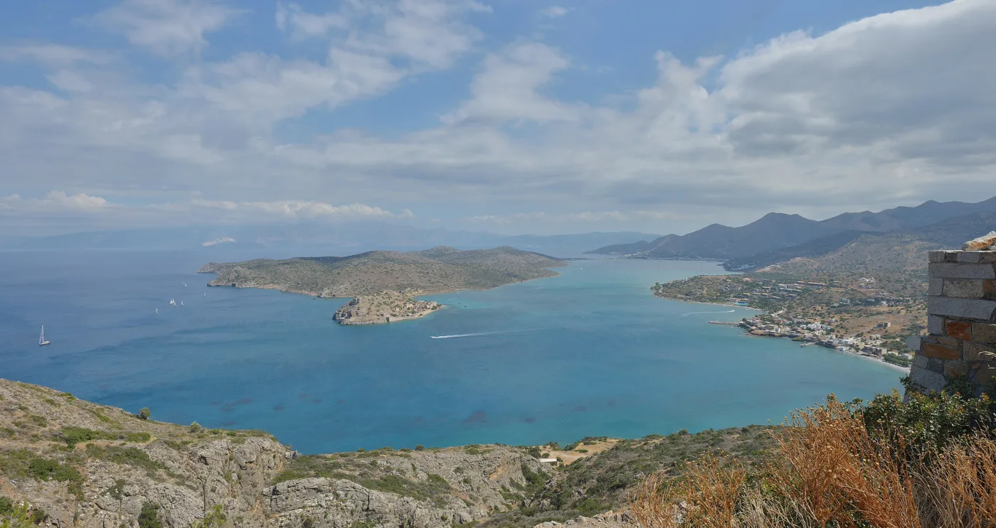
Elounda, Kalydon, Spinalonga.
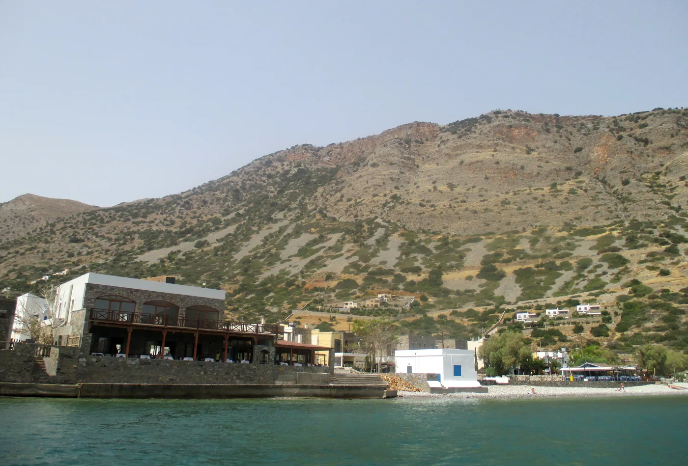
Tavernas right on the water.
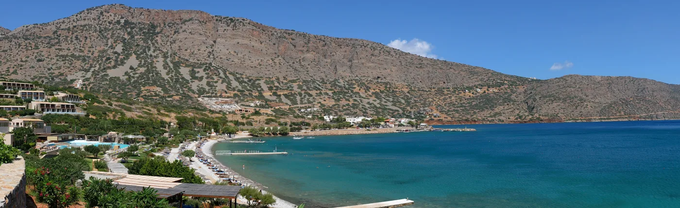
From Plaka to Elounda.
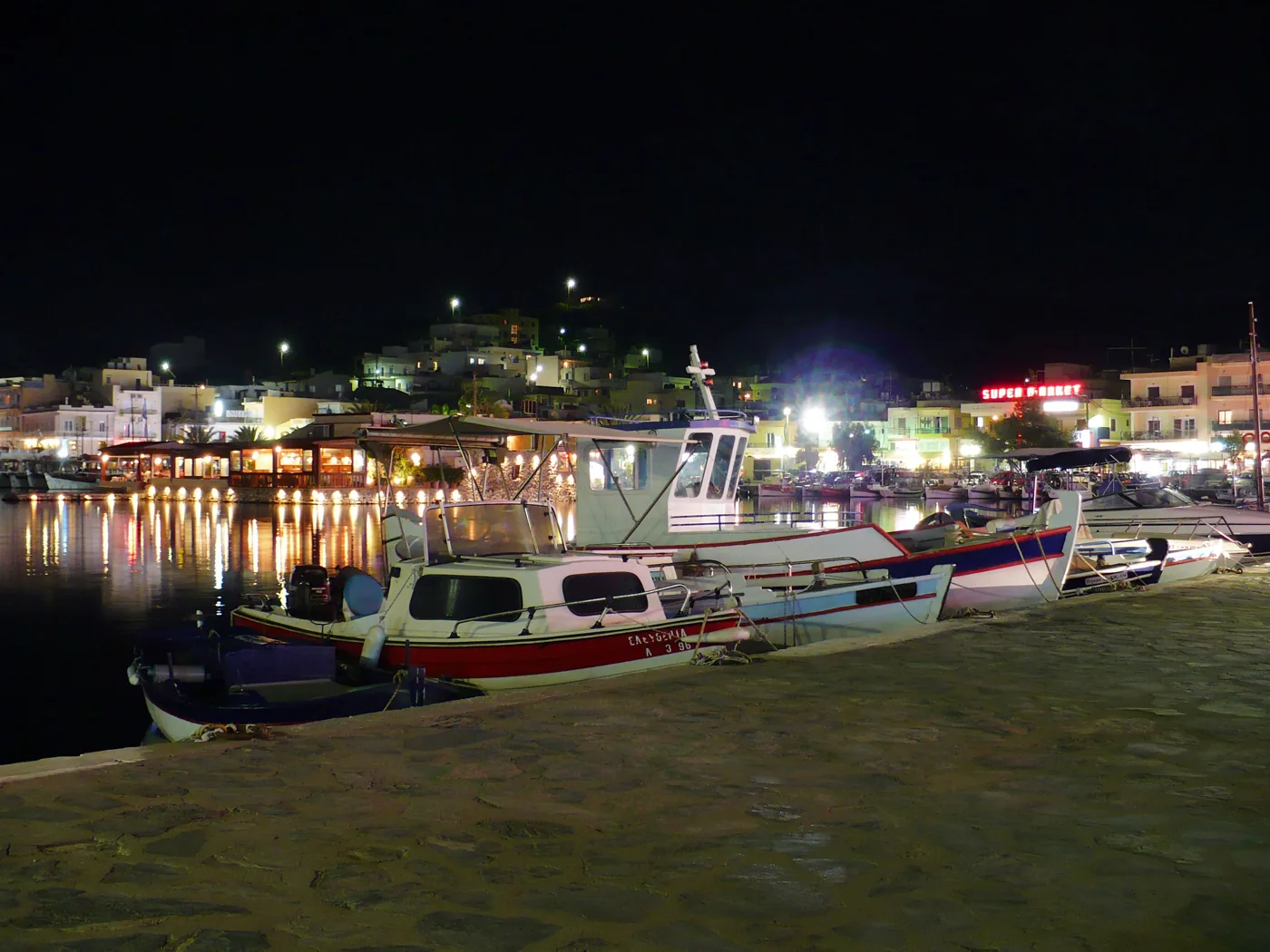
The boats leave from here.
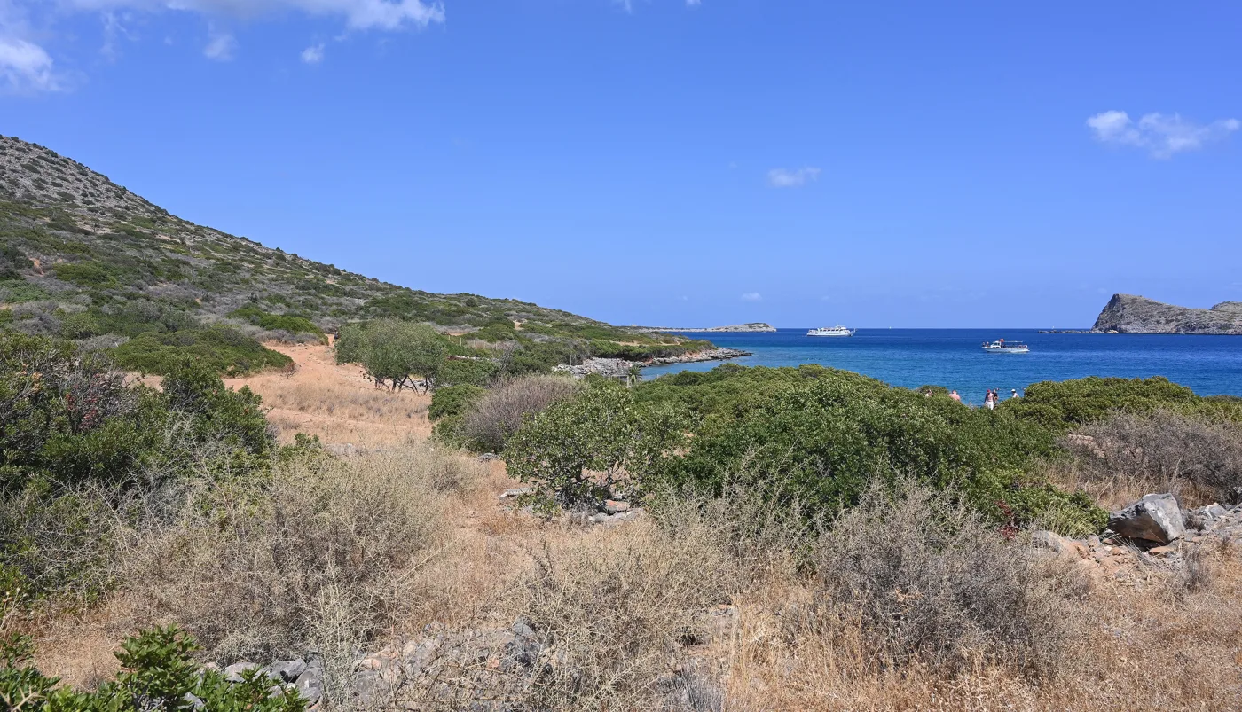
The peninsula opposite.
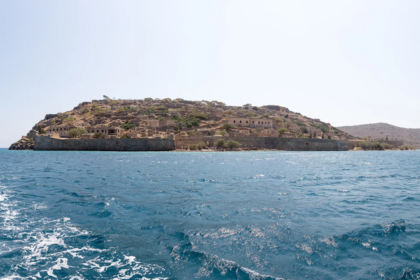
Spinalonga from the boat.
Photos: Ggia (CC BY-SA 3.0), Wolfgang Moroder (CC BY-SA 3.0), Tomisti (CC BY-SA 4.0), Alexey laa (CC BY-SA 4.0), Mietek Ł (CC BY-SA 3.0), Cayambe (CC BY-SA 4.0), Goosi (CC BY-SA 4.0) · Wikimedia Commons
🍽️ What to eat
The tavernas of Plaka and Elounda are the best match for Spinalonga: fresh fish, grilled octopus and squid, with the fortress opposite. Try Cretan cooking: dakos with tomato and mizithra, wild greens, sarikes with honey, graviera and apaki. And at the end, a glass of raki on the house, as everywhere in Crete.
📅 When to go
The archaeological site is open mainly from spring to autumn. May, June, September and October are the best months: warm without heatwaves, fewer people and a warm sea for a swim afterwards. In July and August the island fills up from ten in the morning until four, and the sun on the stones is harsh. Go in the morning or late in the afternoon.
✈️ How to get there from Athens
| How | Duration | From | Notes |
|---|---|---|---|
| Plane and car | About 50 minutes + 1 hour | Athens airport → Heraklion → Plaka | The fastest way. Many flights every day. |
| Ferry and car | About 9 hours + 1 hour | Piraeus → Heraklion | Overnight ferry with a cabin, you arrive in the morning. |
| Boat from Plaka | About 10 minutes | Plaka → Spinalonga | Frequent trips, the shortest crossing. |
From Ioulianou 50 take Line 1 to Monastiraki and change to Line 3 for the airport, or Line 1 straight to Piraeus for the ferry. From Heraklion, KTEL buses go to Agios Nikolaos and Elounda, but with a car you will also see Plaka, Olous and Kolokytha. For the rest of Crete, see our guide to Crete.
🗓️ One day at Spinalonga
Spinalonga
The first boat from Plaka, before the boats from Elounda and Agios Nikolaos arrive. Go through Dante’s Gate, walk the village street and climb to the bastions. Do the circuit of the walls as far as the cemetery. An hour and a half to two hours is enough.
Plaka and Elounda
Lunch with fish at Plaka, with the fortress opposite. Then a swim on the pebbles at Plaka or at Kolokytha, and sunset at Poros, where the sea covers ancient Olous. Evening at the harbour of Elounda.
Frequently asked questions
Where do I take the boat to Spinalonga?
From Plaka, if you want the shortest crossing, about ten minutes. From Elounda, if you are staying there, about twenty-five. From Agios Nikolaos, if you want a full cruise of the bay with a swimming stop.
How much time do I need on the island?
An hour and a half to two hours, to walk the village street, the walls and the bastions as far as the cemetery. On the boats from Plaka you come back whenever you want; on organised cruises the time is fixed.
Are there lepers on Spinalonga today?
No. The leper colony closed in 1957, when leprosy began to be cured with medicine, and the last inhabitant left in 1962. Since then the island has been an archaeological site, with no inhabitants.
Was “The Island” filmed here?
Yes. The 2010 TV series, based on Victoria Hislop’s novel, was filmed on Spinalonga and in Plaka, which in the story is the village opposite, where it all begins.
— Kathy