🪪 The island at a glance
📍 Where it is
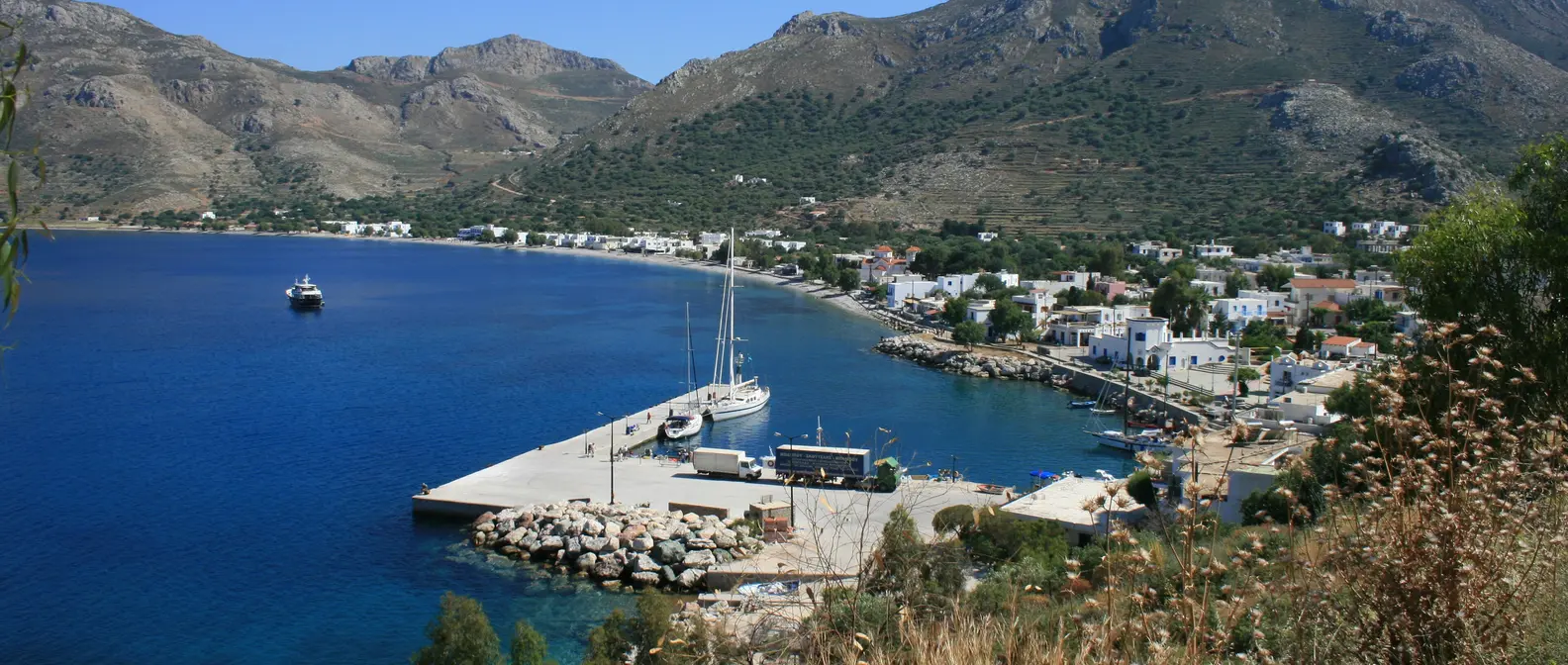
Kasos lies in the Dodecanese, southwest of Karpathos and east of Crete. Ferries link it with Karpathos, Sitia, Rhodes and Piraeus, and its small airport has flights from Rhodes and Karpathos. Together with Armathia and other uninhabited islets, it forms its own municipality.
📍 Where Kasos is
Kasos is the southernmost island of the Dodecanese, between Crete and Karpathos. The island is shown in red, and in green are Karpathos, Sitia, Rhodes and Piraeus, where the ferries come from.
🗺️ The map of the island
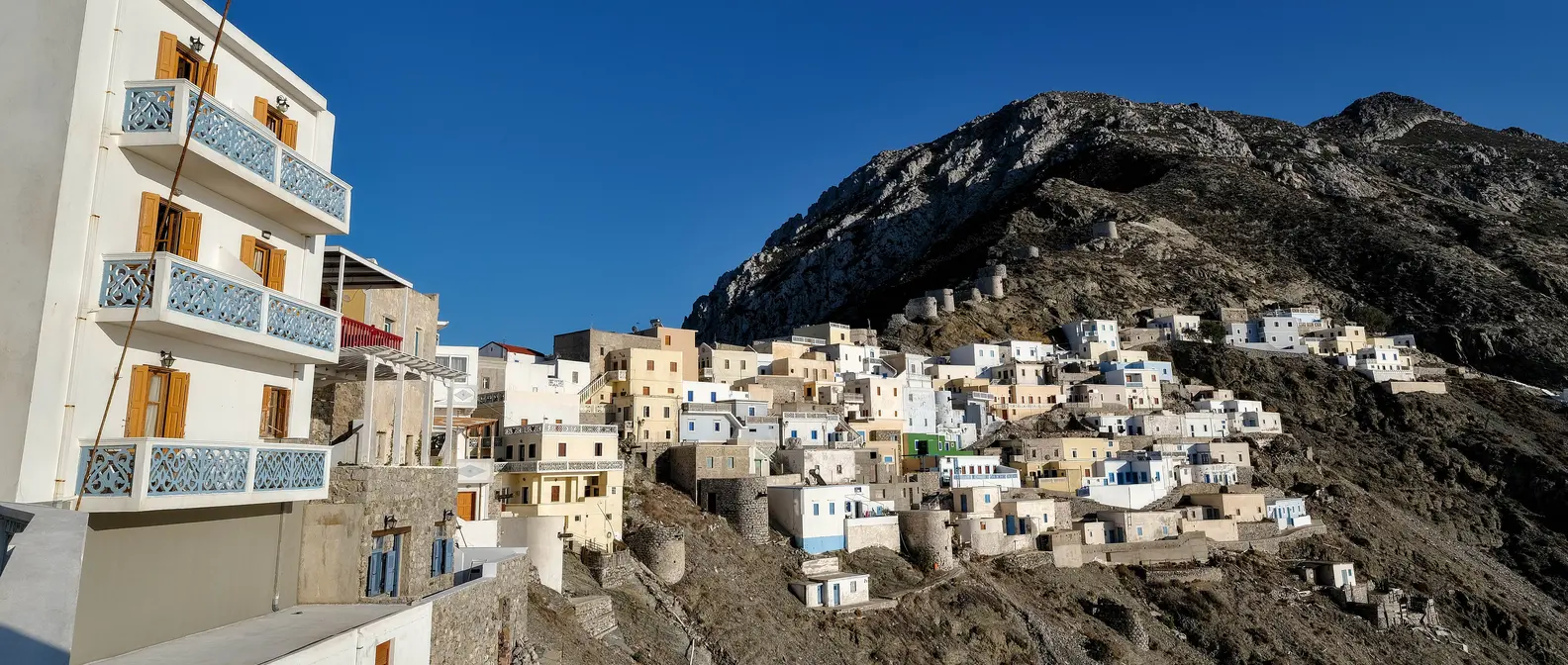
Kasos is long, narrow and mountainous, with bare slopes, dry-stone walls and peaks of about 550 metres. The five villages, Fry, Agia Marina, Panagia, Poli and Arvanitochori, are all on the north side, within a few kilometres. The south is wild, with the monasteries and a few remote beaches.
🗺️ Map of Kasos
Kasos is mountainous and rocky, and its five villages are all on the north side, close to one another. West of them are Ellinokamara, Ammoua and Antiperatos, and in the south the monasteries and Chelatros. Opposite, to the northwest, is Armathia. Tap each number to see what it is.
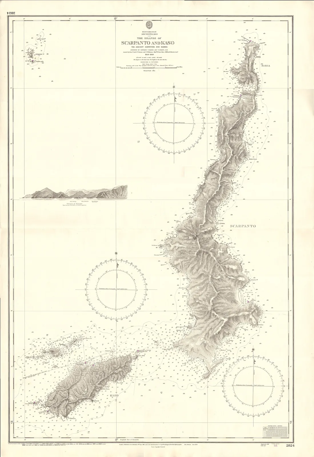
Map: United Kingdom Hydrographic Office (Public domain) · Wikimedia Commons
⚖️ Is it worth it? The pros and cons
Kasos is for anyone who wants a real island, with a life that does not revolve around tourism. Here is an honest picture.
📊 At a glance, from 1 to 5
👍 The pros
- An authentic island, with almost no organised tourism.
- Bouka, one of the prettiest little harbours in the Dodecanese.
- Five living villages, chapels and monasteries.
- Armathia, with white sand and turquoise water.
- The mildest winters in Greece.
👎 The cons
- Few beaches on the main island.
- A long ferry journey from Piraeus.
- A bare, rocky landscape with little shade.
- The wind often cancels the caiques to Armathia.
⚓ Fry and Bouka
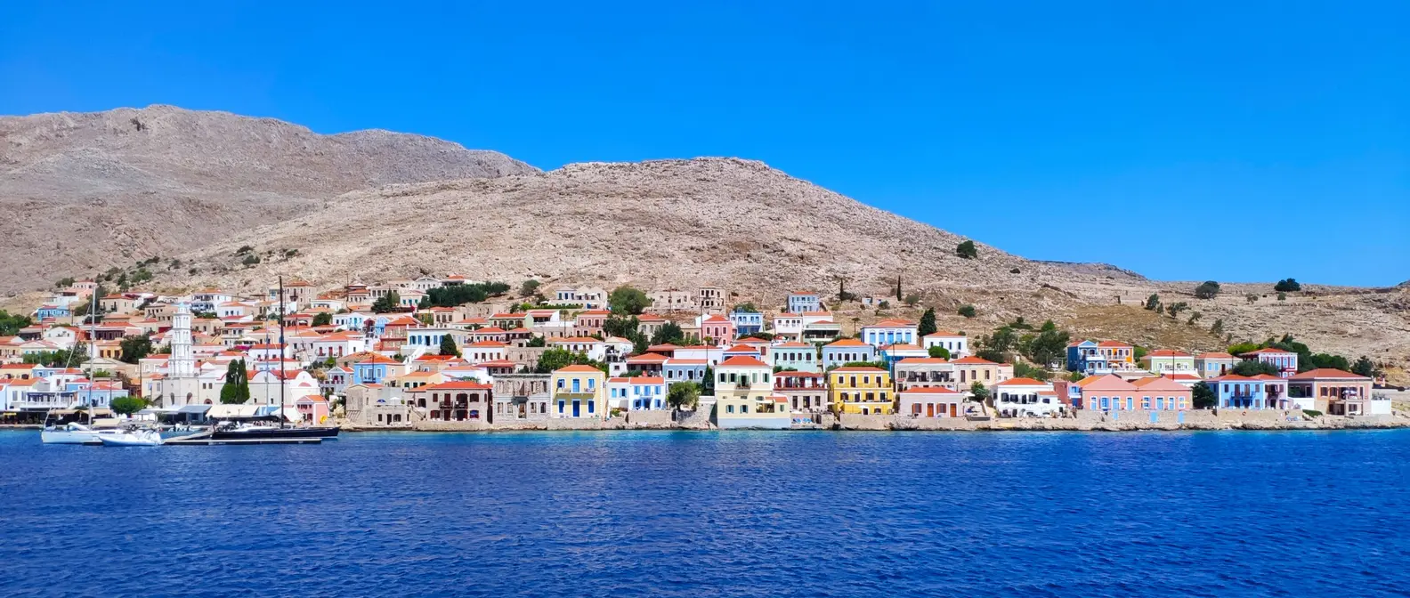
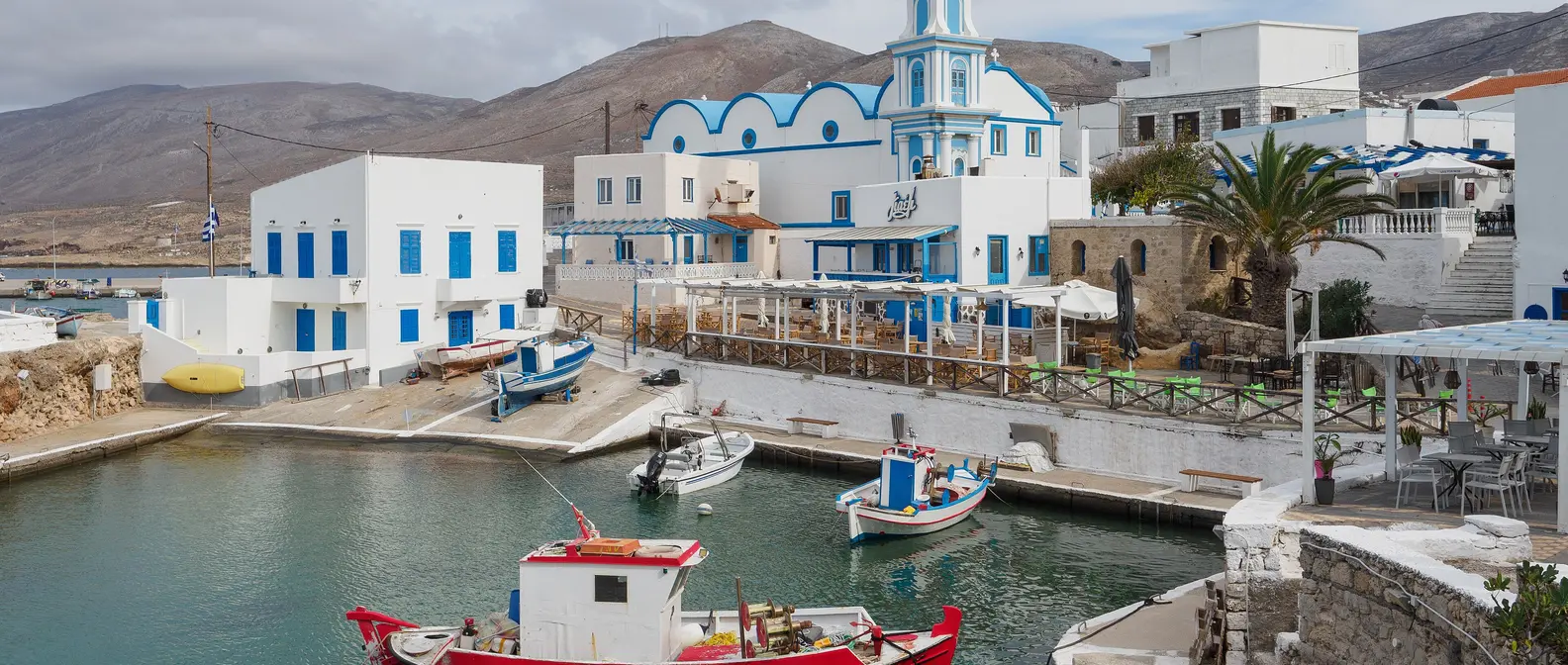
Fry is the island’s capital and port. Its heart is Bouka, a small old harbour with fishing boats that reaches into the village between two rocks, and above it rises Agios Spyridon with its blue domes. Around it are tavernas, cafés and neoclassical buildings that recall the wealth of the Kasiot seafarers.
The people of Kasos have always lived from the sea: in the War of Independence of 1821 they had their own fleet, and in the 19th century many worked on building the Suez Canal. In June 1824 the Egyptian fleet destroyed the island, and every year, in early June, Kasos honours the memory of the holocaust. A little to the east, at Emporeio, there is a stone windmill and the ruins of an early Christian basilica with its baptistery.
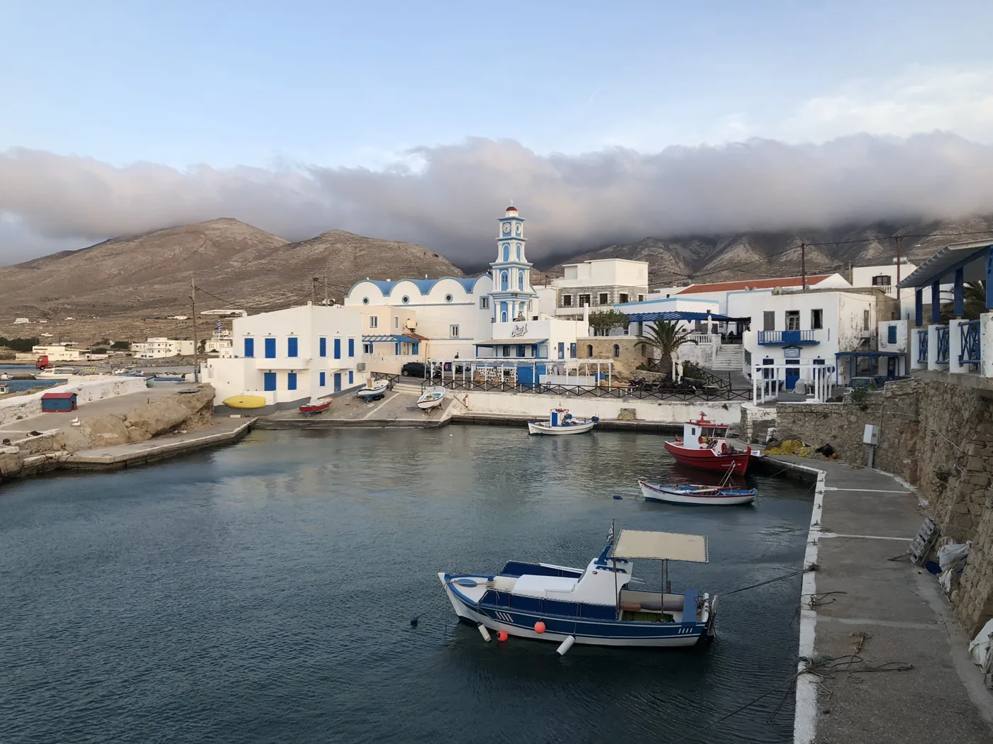
The old harbour of Fry.
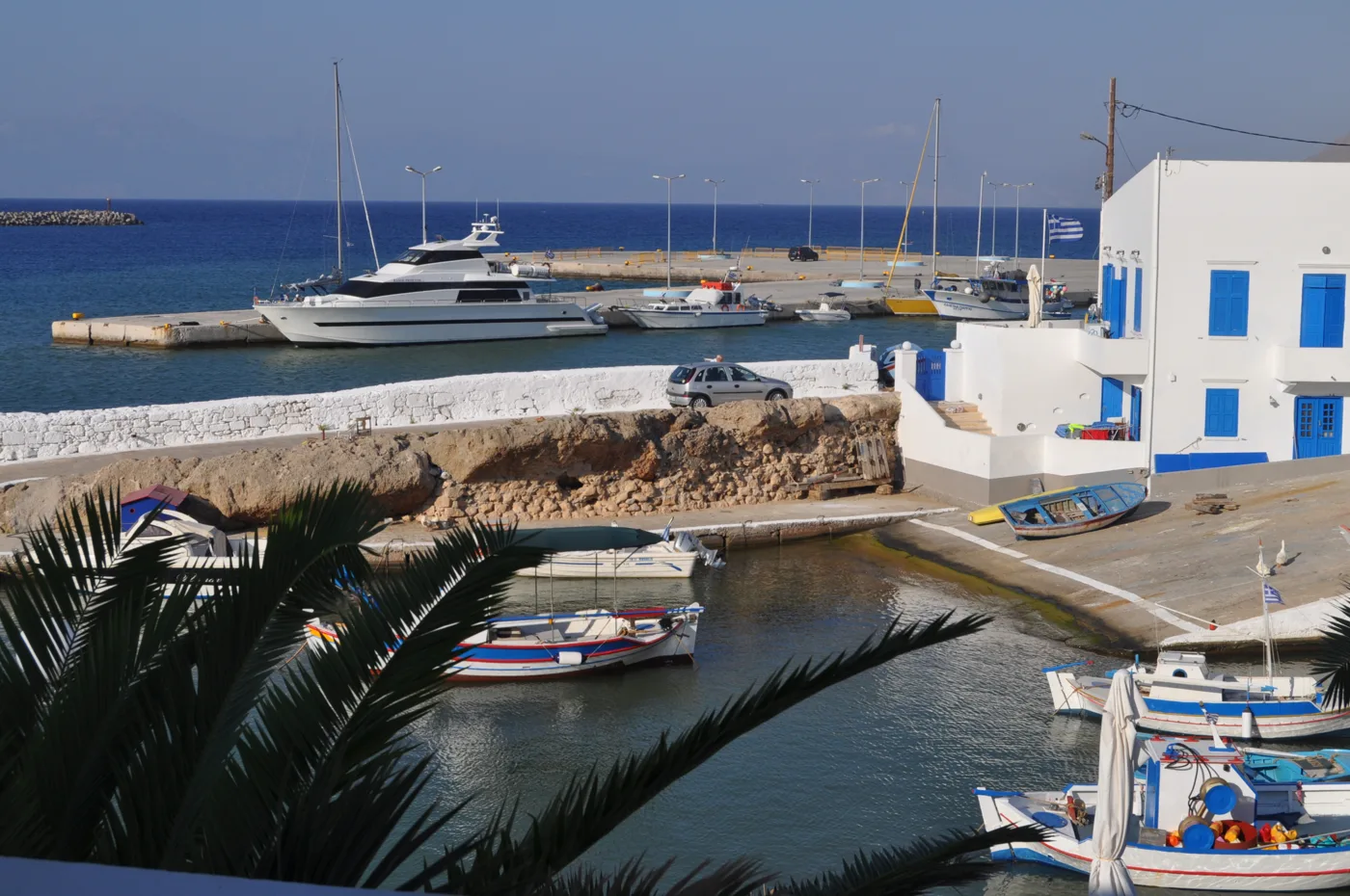
The heart of Fry.
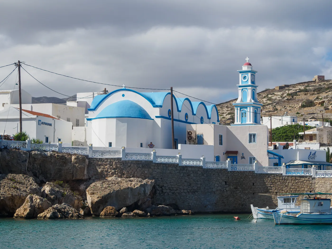
The blue domes.
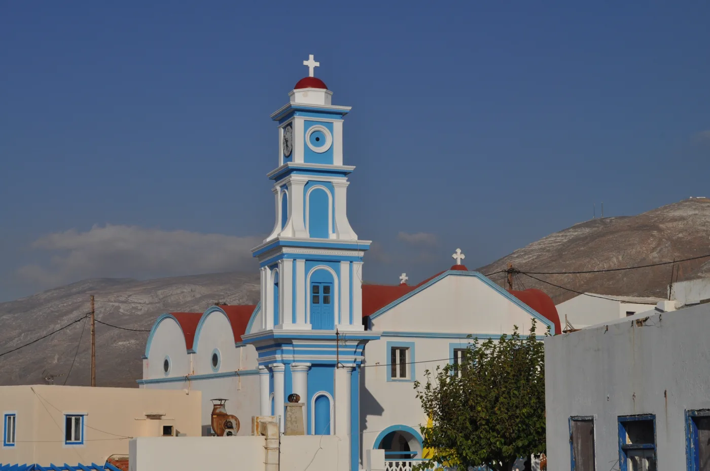
Blue and white.
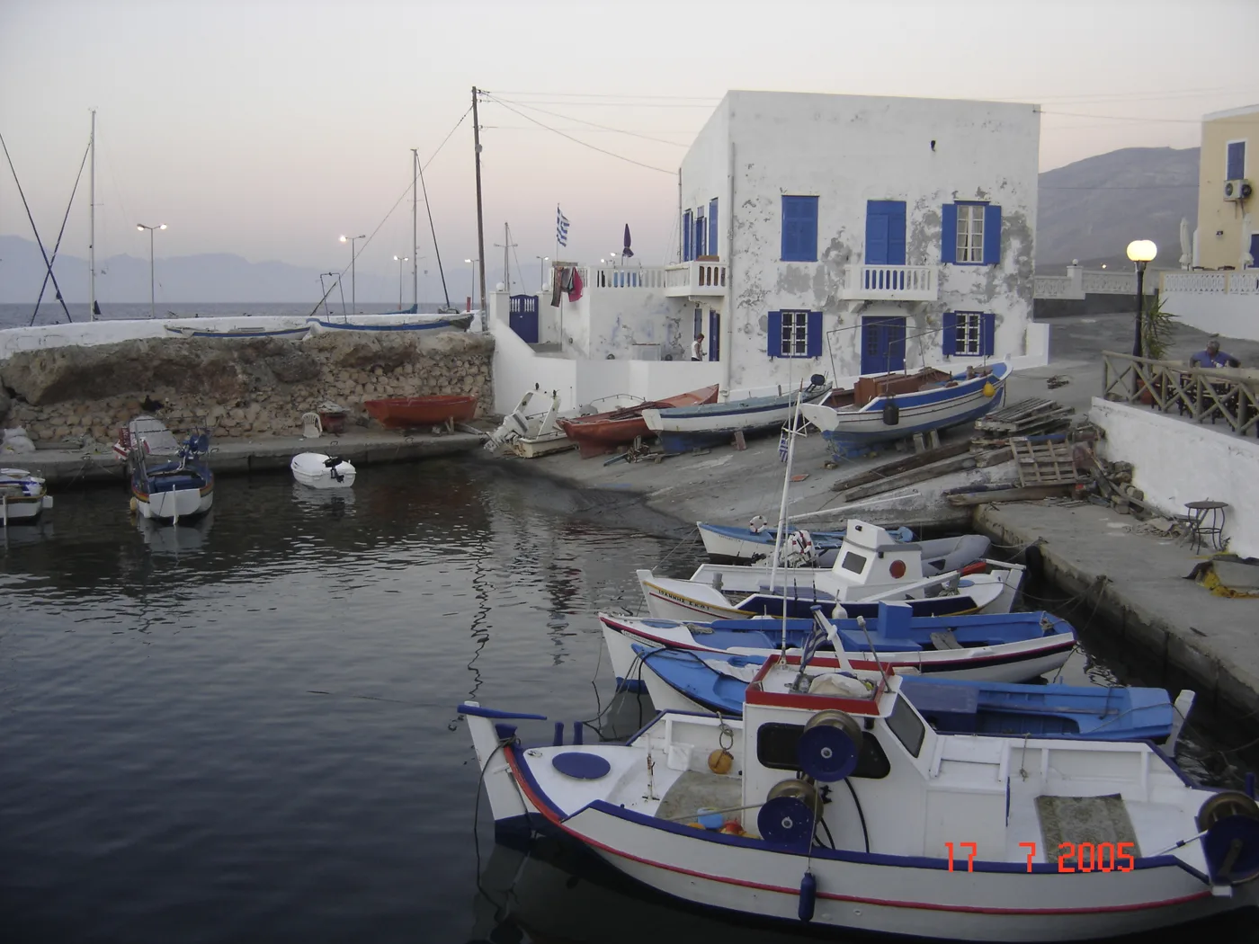
At Bouka.
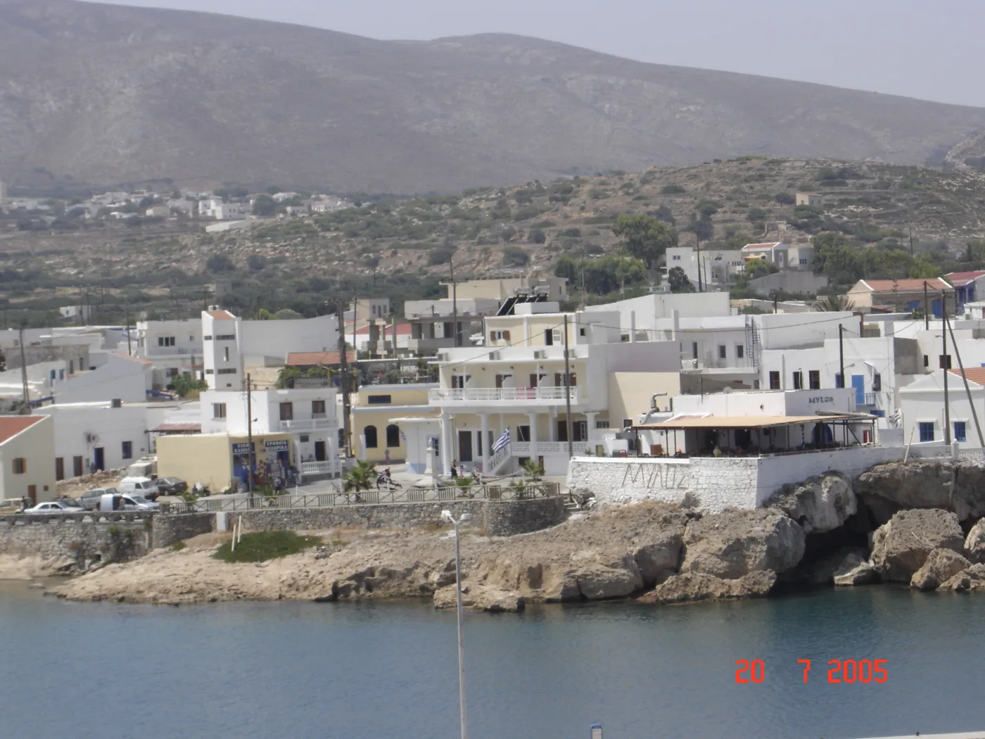
The capital from the sea.
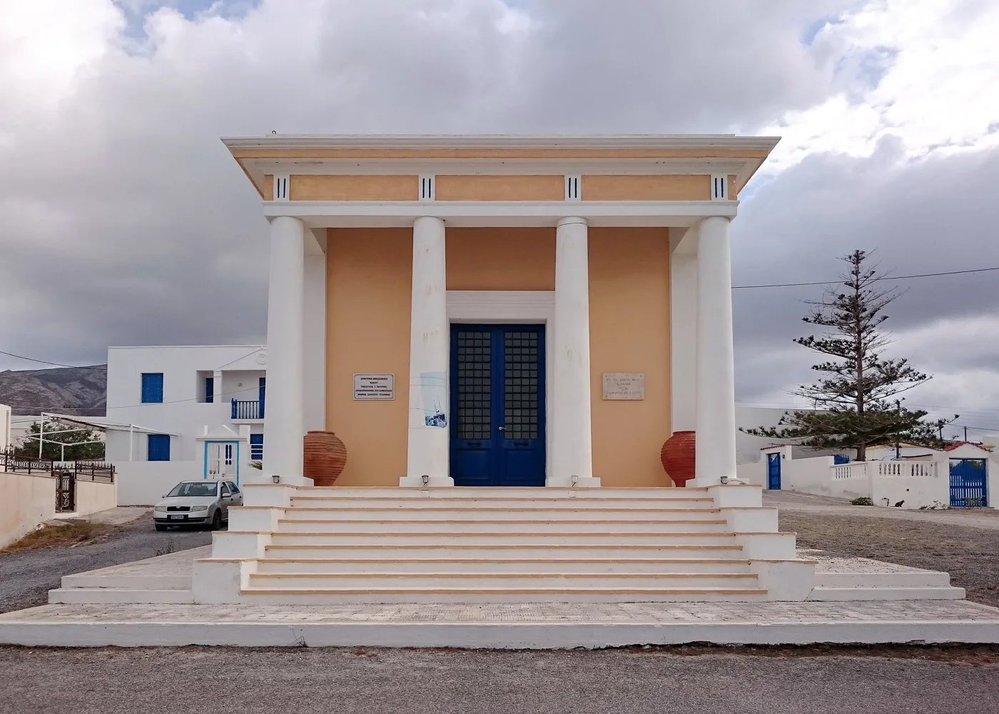
Neoclassical in Fry.
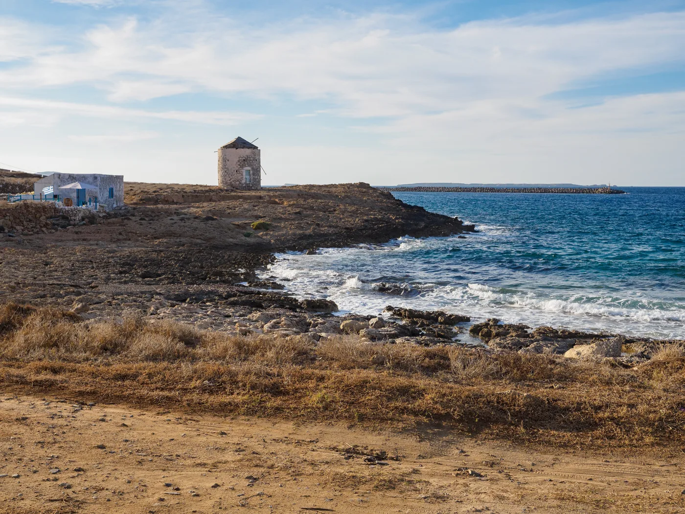
Above Emporeio.
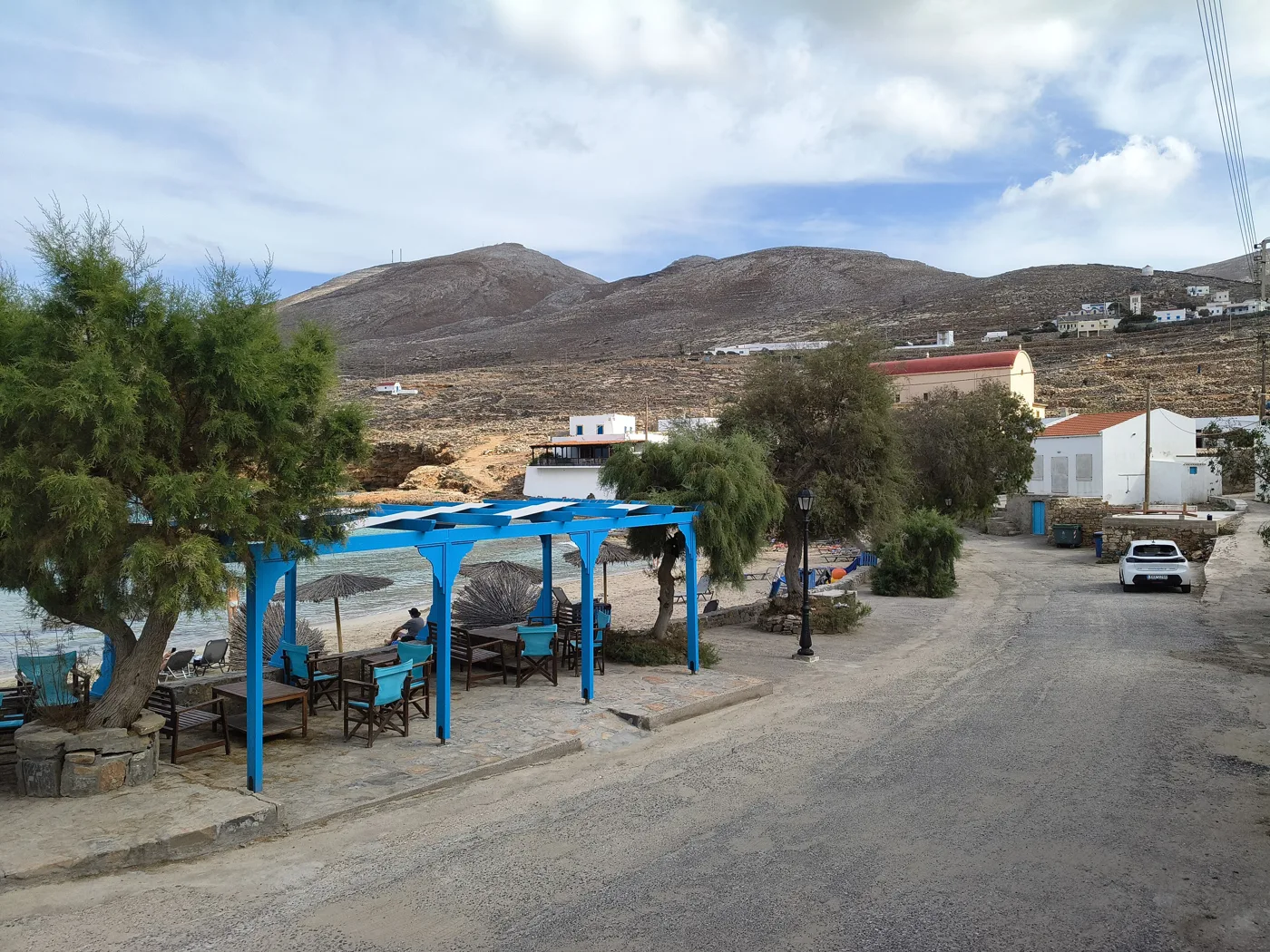
The shore next to Fry.
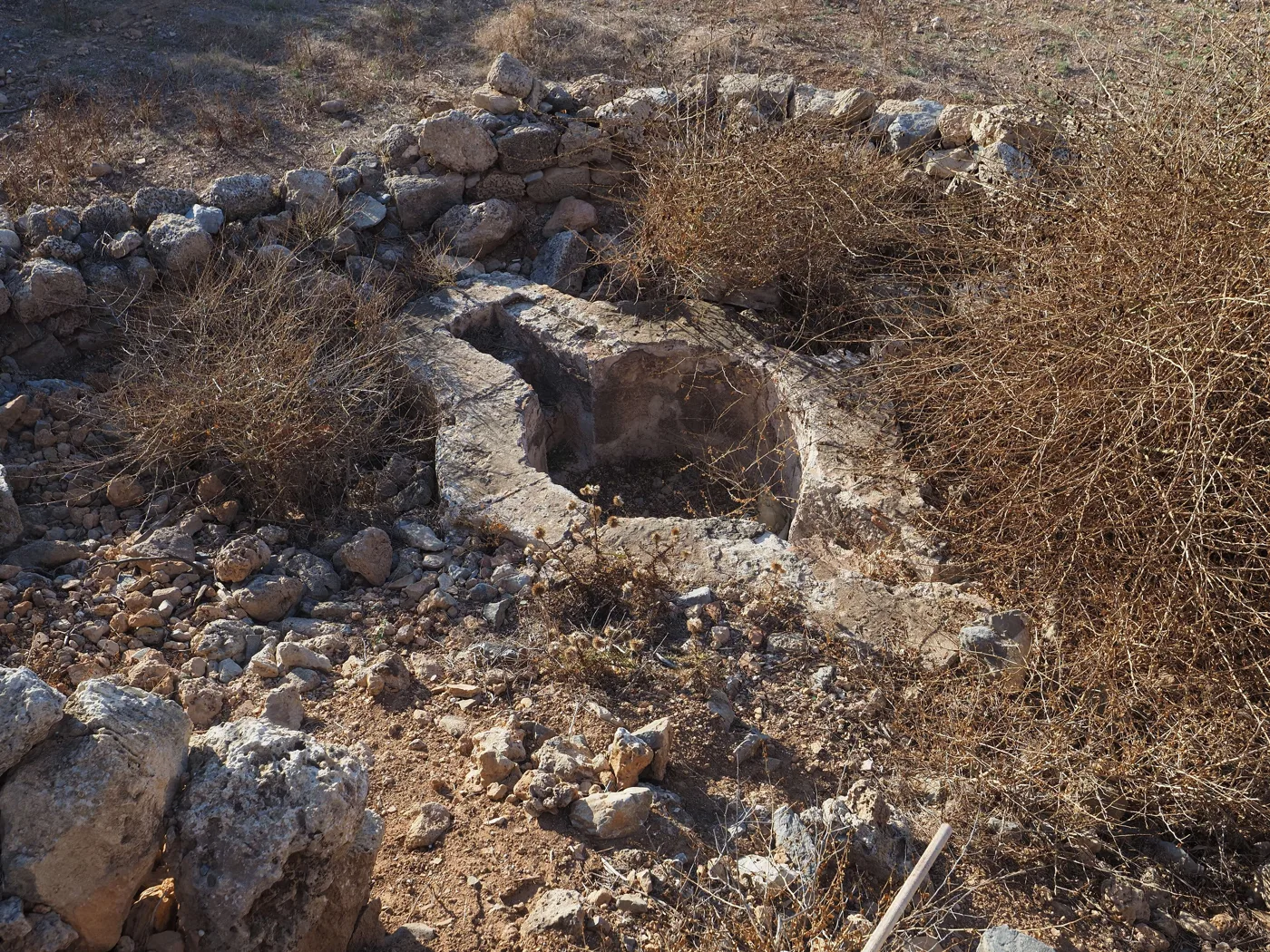
Early Christian ruins.
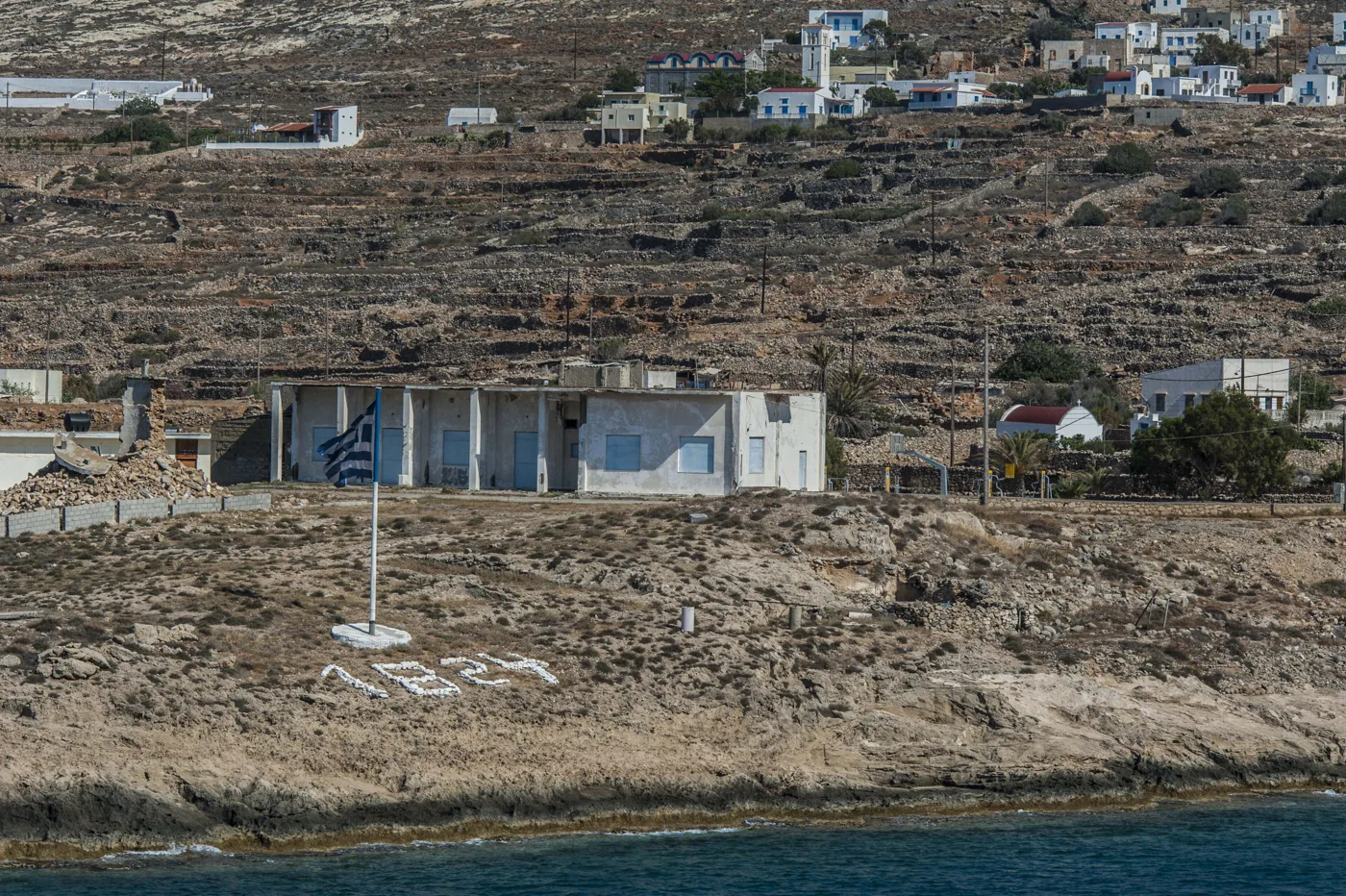
The memory of 1824.
Photos: Luca Aless (CC0), Ioannis Fakis (CC BY-SA 4.0), C messier (CC BY-SA 4.0), Vasileiadis33 (CC BY-SA 4.0), Art Grafix (CC BY-SA 4.0), Thanasis Christodoulou (CC BY-SA 4.0) · Wikimedia Commons
🏘️ The villages and the Six Churches
The villages are only a few minutes apart and easy to walk between. Agia Marina is the largest, with its church and views of Fry. In Panagia you will see the Six Churches, small chapels with red vaults joined to one another, and an old marble sarcophagus. Poli, higher up, was the island’s old castle, and Arvanitochori has old houses with courtyards paved in pebbles.
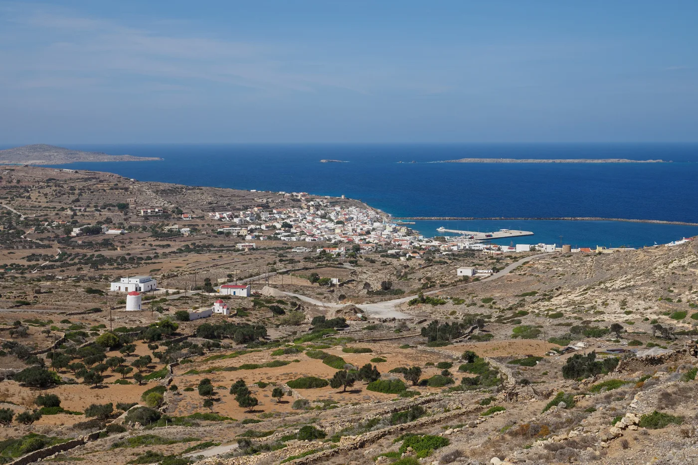
Fry and the islets.
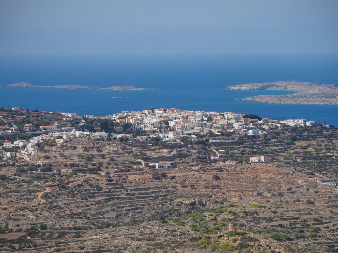
The largest village.
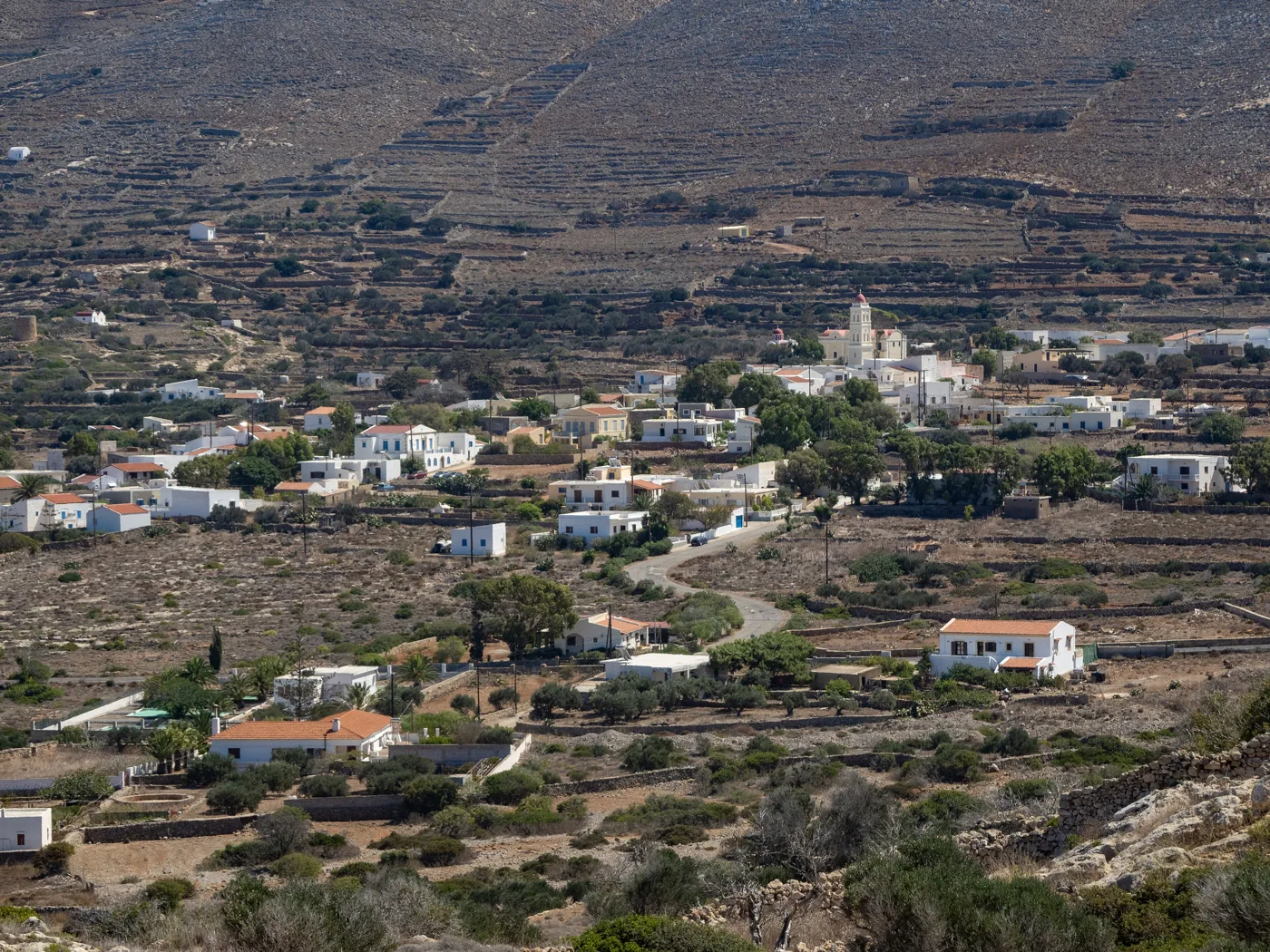
From Agia Marina.
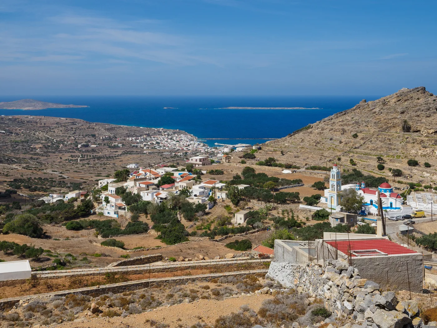
The island’s old castle.
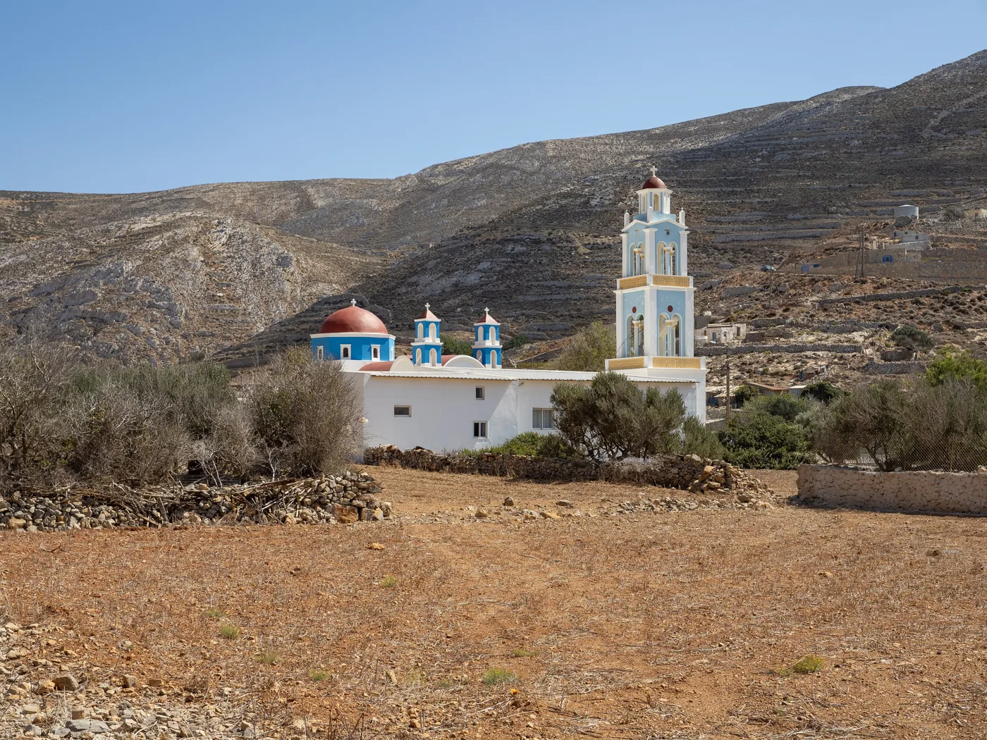
The church of Poli.
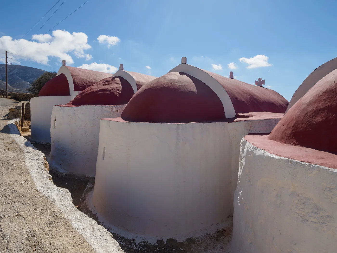
Side by side in Panagia.
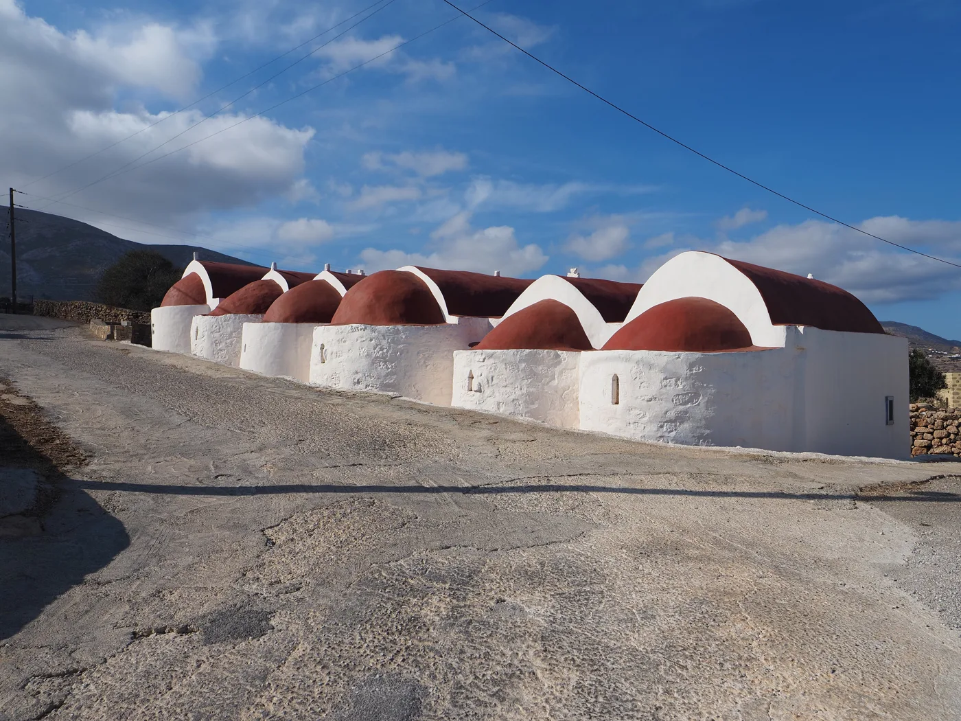
Red vaults.
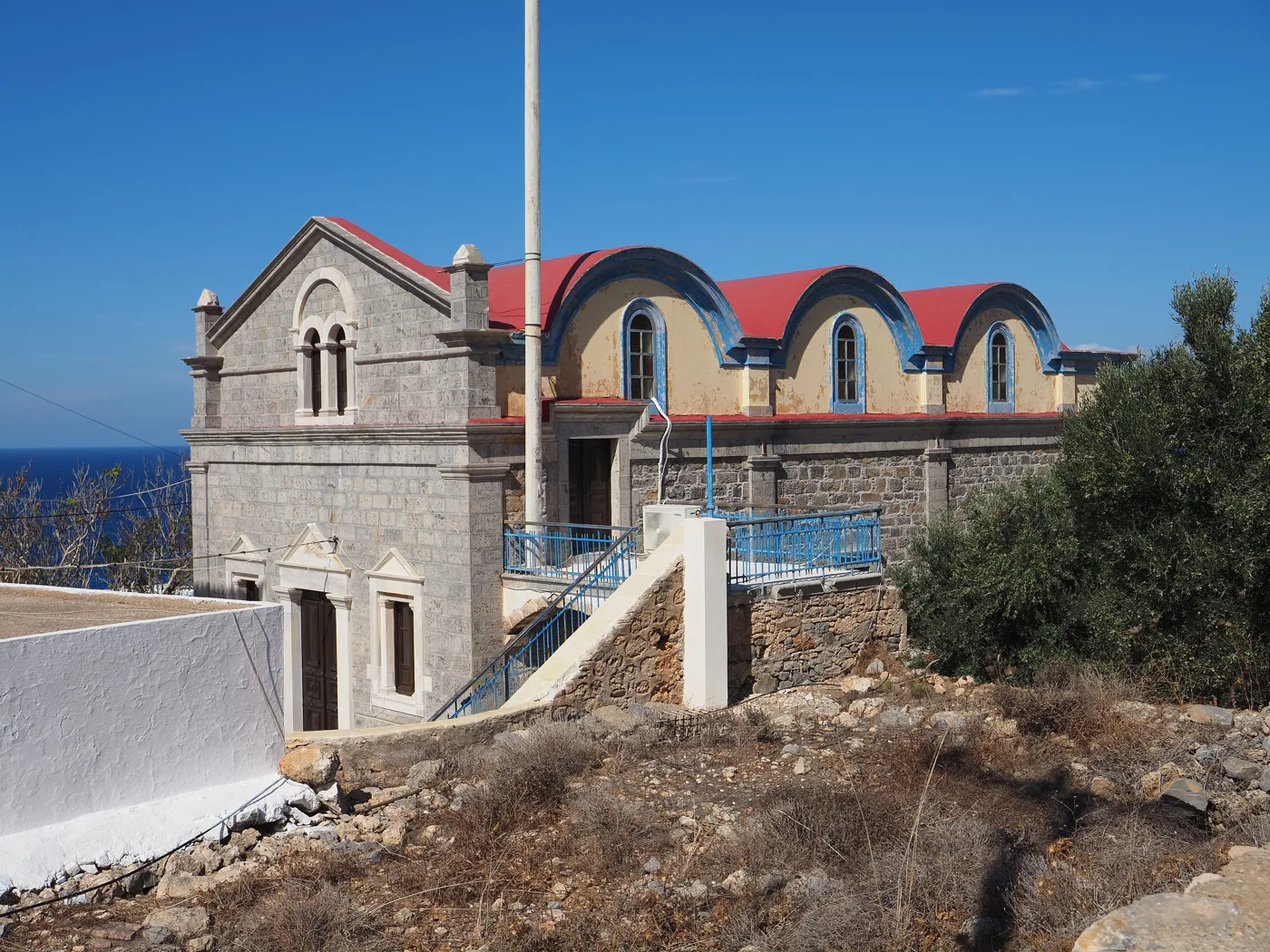
The village church.
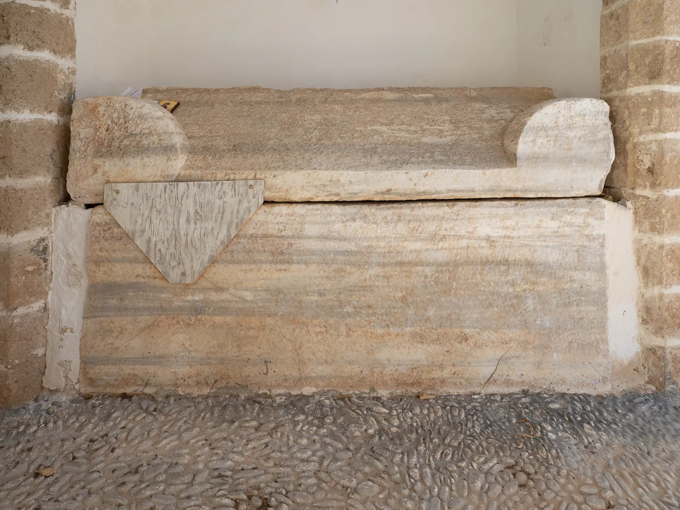
In Panagia.
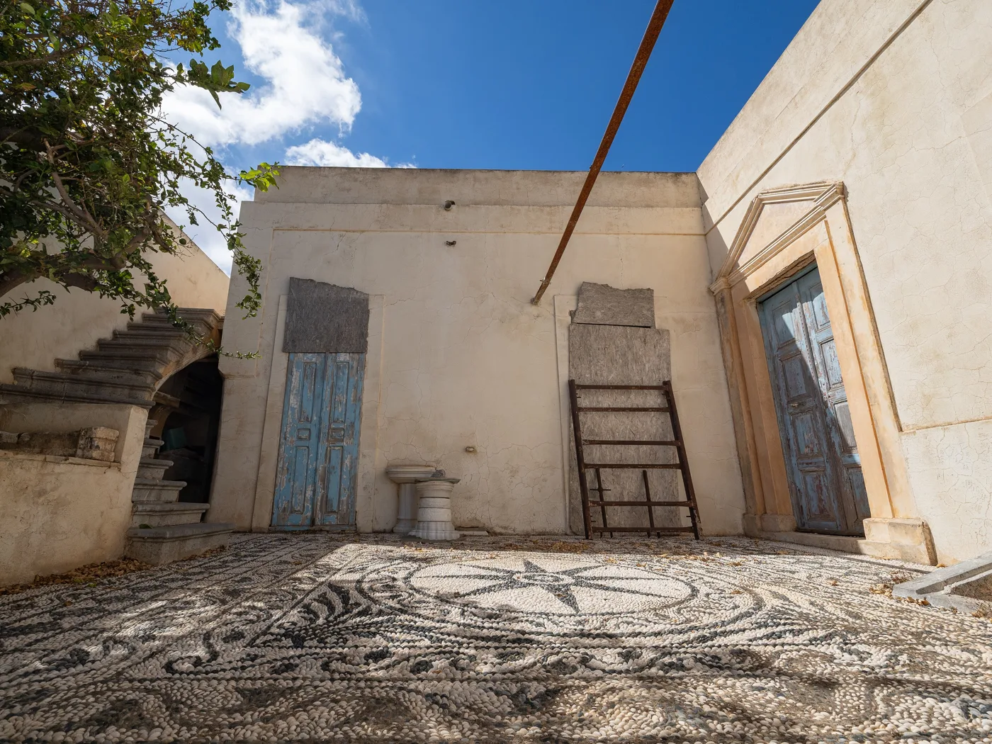
Pebble mosaic in Arvanitochori.
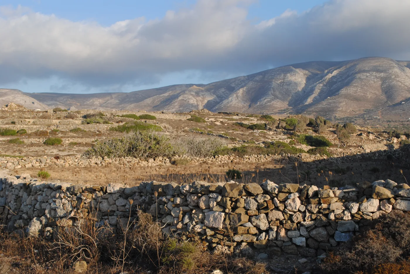
Above the harbour.
Photos: C messier (CC BY-SA 4.0), Elisabetha55 (CC BY-SA 4.0) · Wikimedia Commons
🕯️ Ellinokamara and the monasteries
Just outside Agia Marina, Ellinokamara is a cave closed off by an ancient wall of large stones. The islanders took refuge here from pirates, and finds from the cave are on show in the archaeological collection in Fry. In the south, a road leads to the monastery of Agios Georgios at Chadies, with a carved wooden iconostasis, and to Agios Mamas, above the sea. Both hold big festivals.
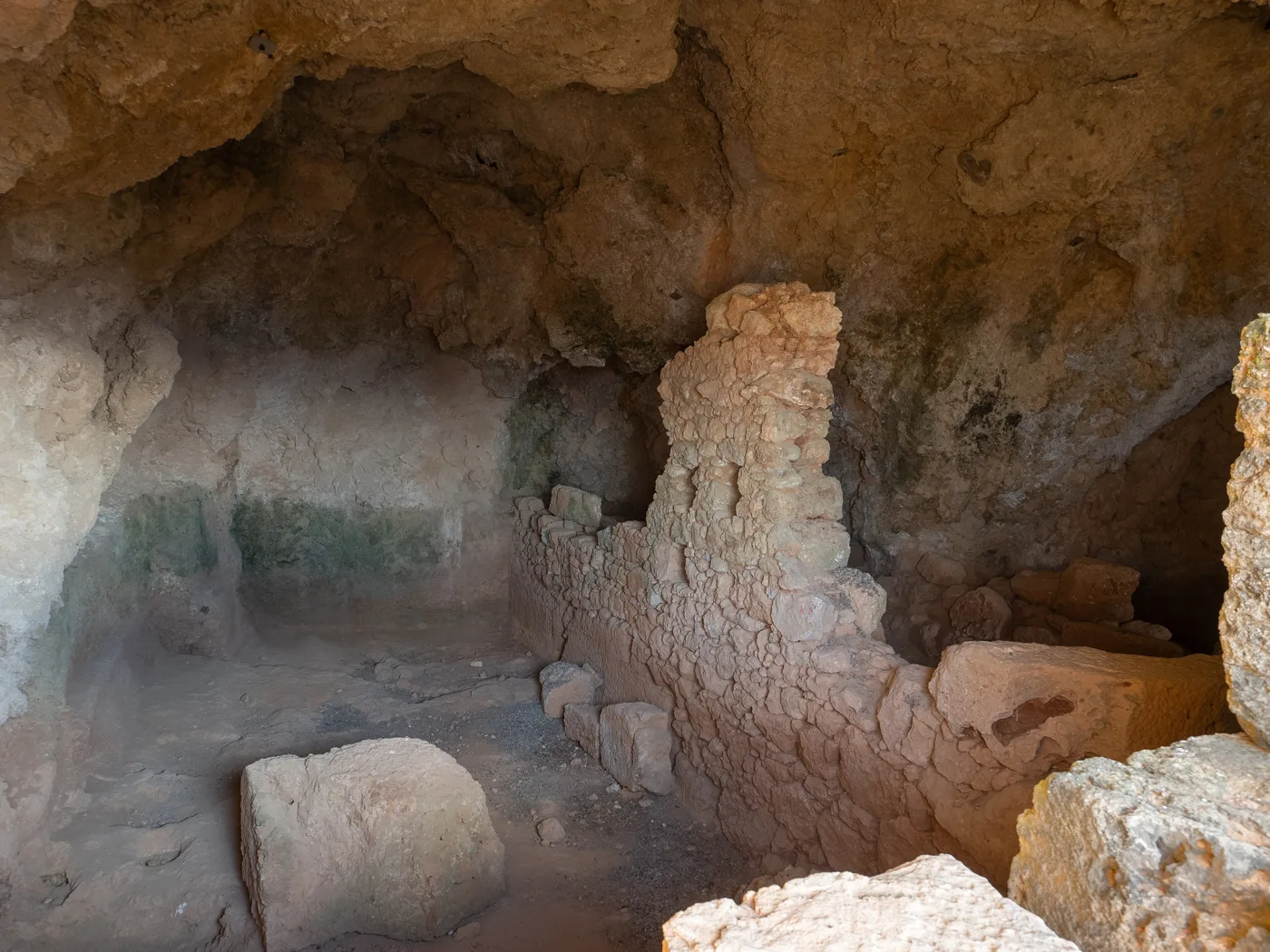
The ancient wall.
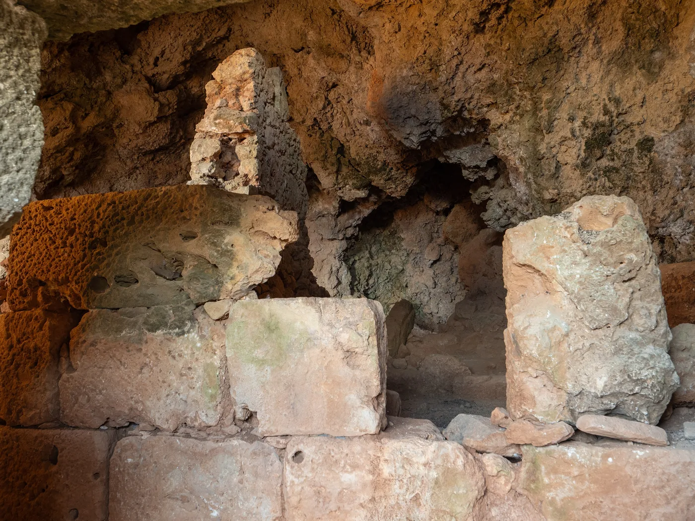
Stones and shadows.
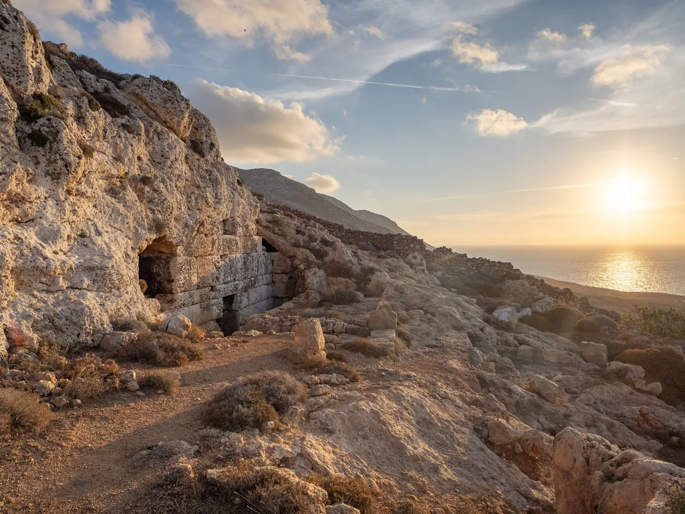
From Ellinokamara.
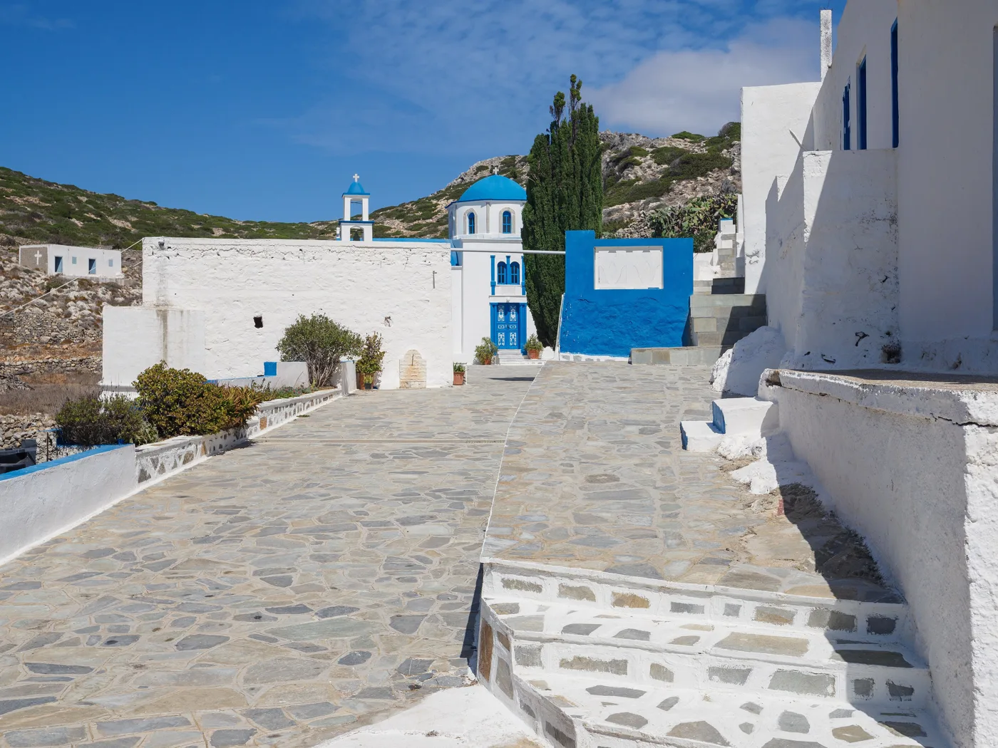
The monastery at Chadies.
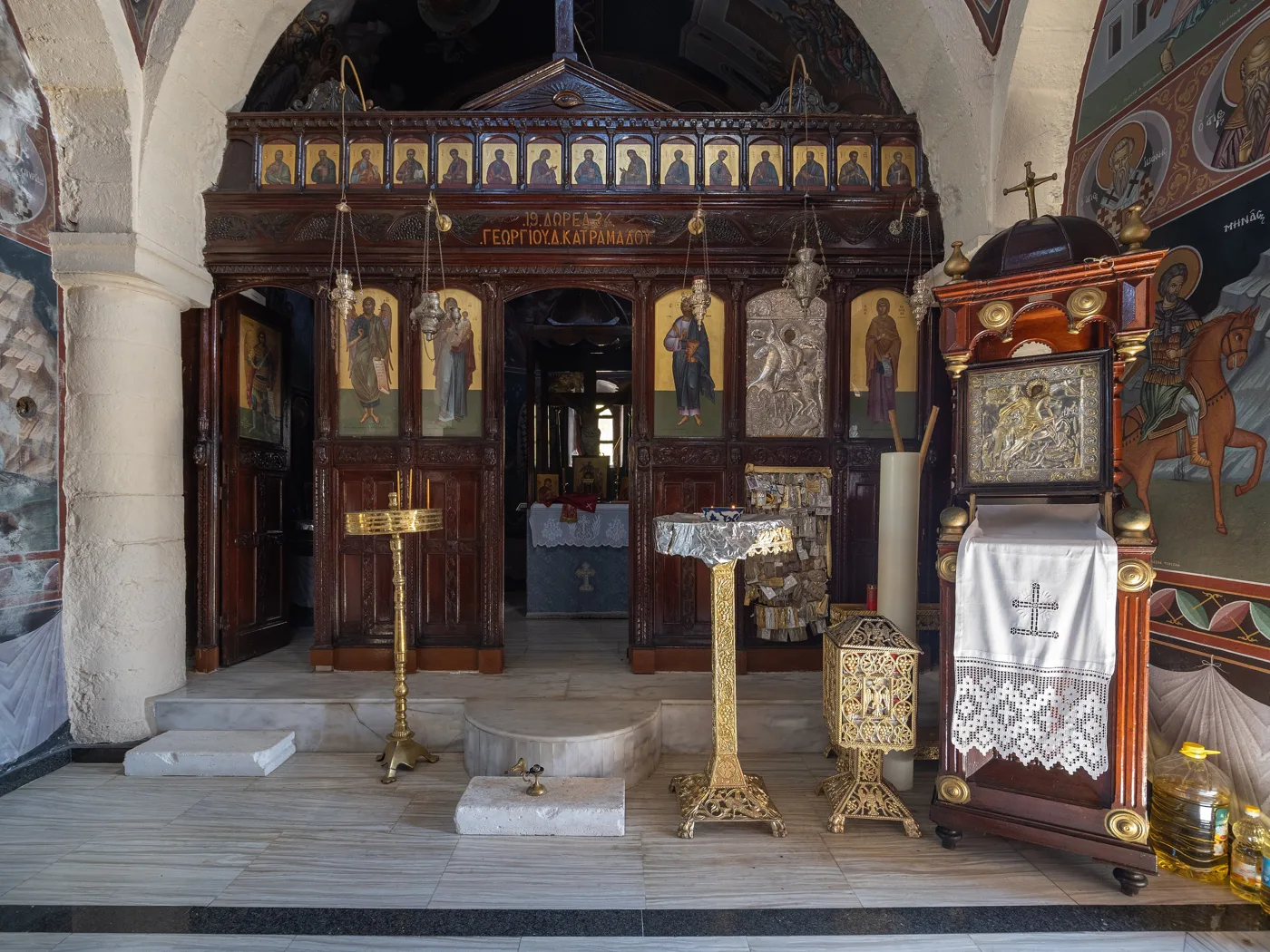
Inside the monastery.
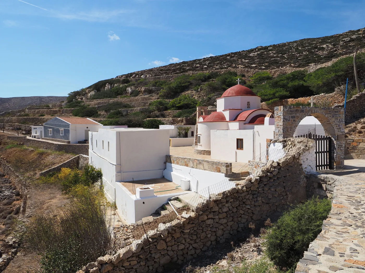
Above the sea.
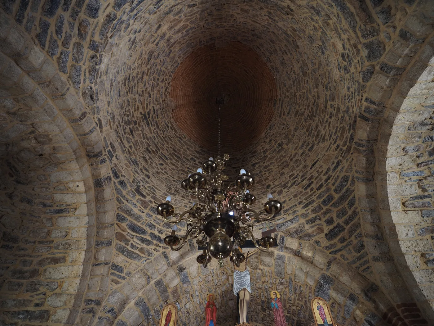
Inside Agios Mamas.
Photos: C messier (CC BY-SA 4.0) · Wikimedia Commons
🏖️ The beaches and Armathia
The main island has few beaches. Ammoua, west of the airport, has sand and the finest sunset, and a little further on Antiperatos has small coves. In the south, Chelatros is reached by dirt road or by boat. The big surprise is Armathia, an uninhabited islet opposite Fry, with white sand and turquoise water, where caiques go in summer.
- Ammoua: sand and sunset, close to Fry.
- Antiperatos: small coves, quieter.
- Emporeio: a small beach next to Fry.
- Chelatros: remote, in the south.
- Armathia: white sand, by caique.
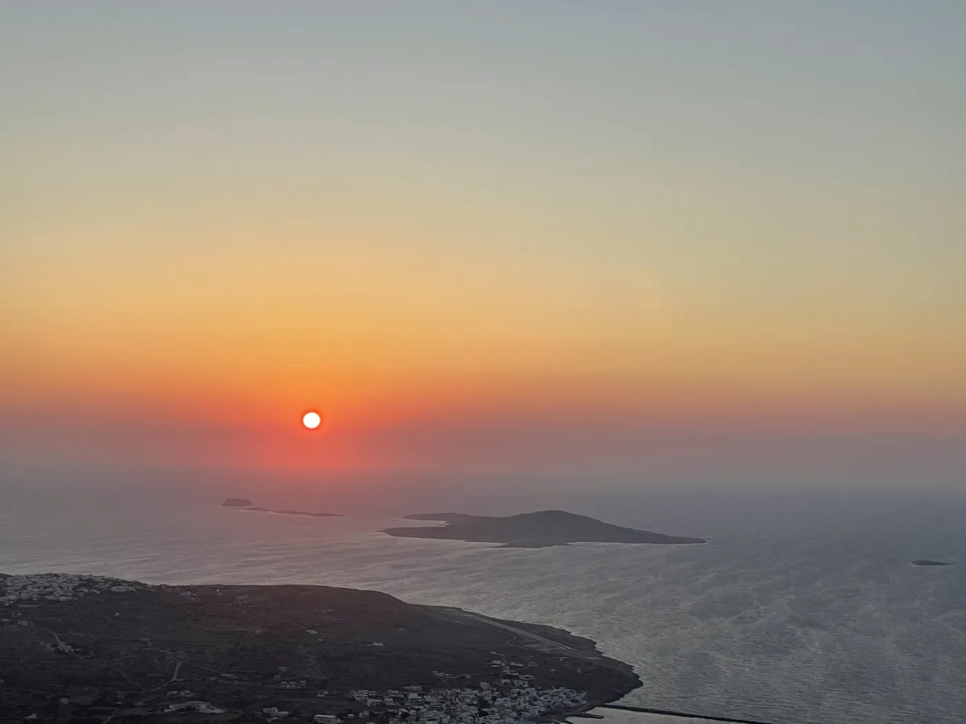
Above Armathia.
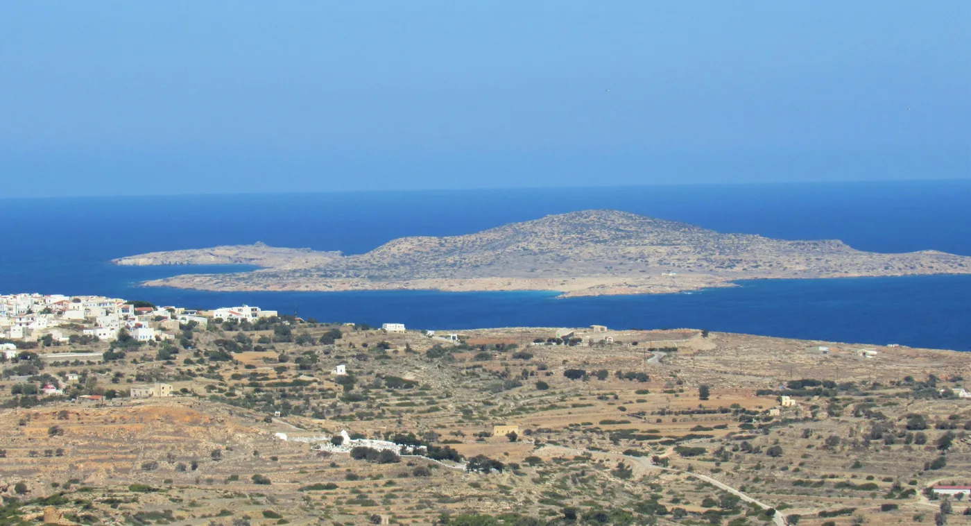
Opposite Fry.
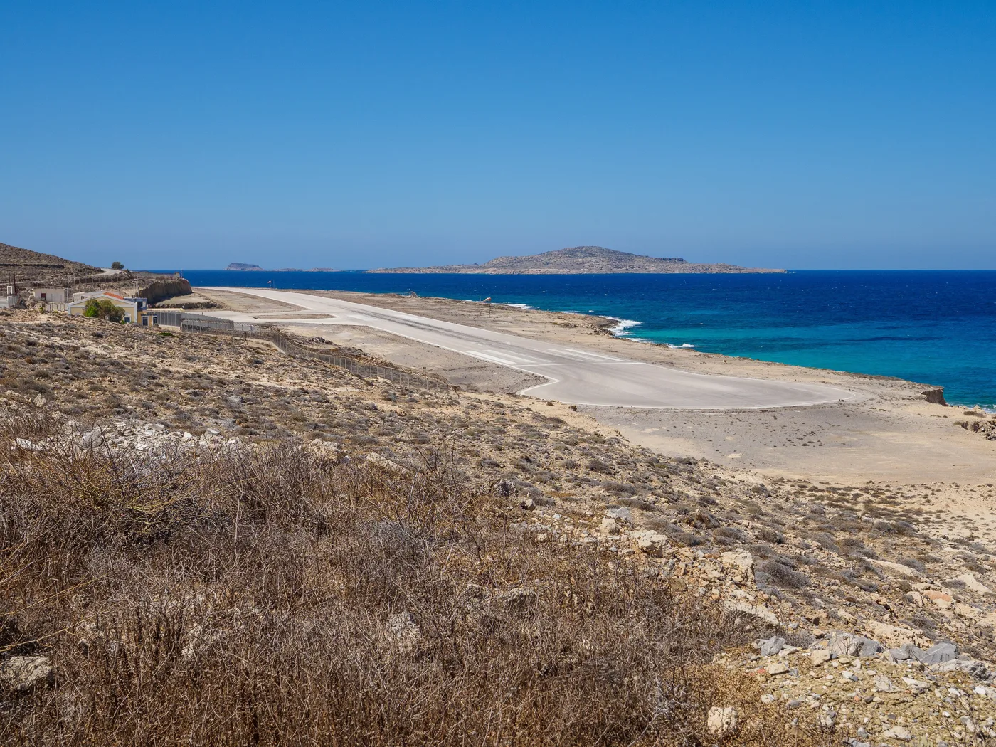
By the sea.
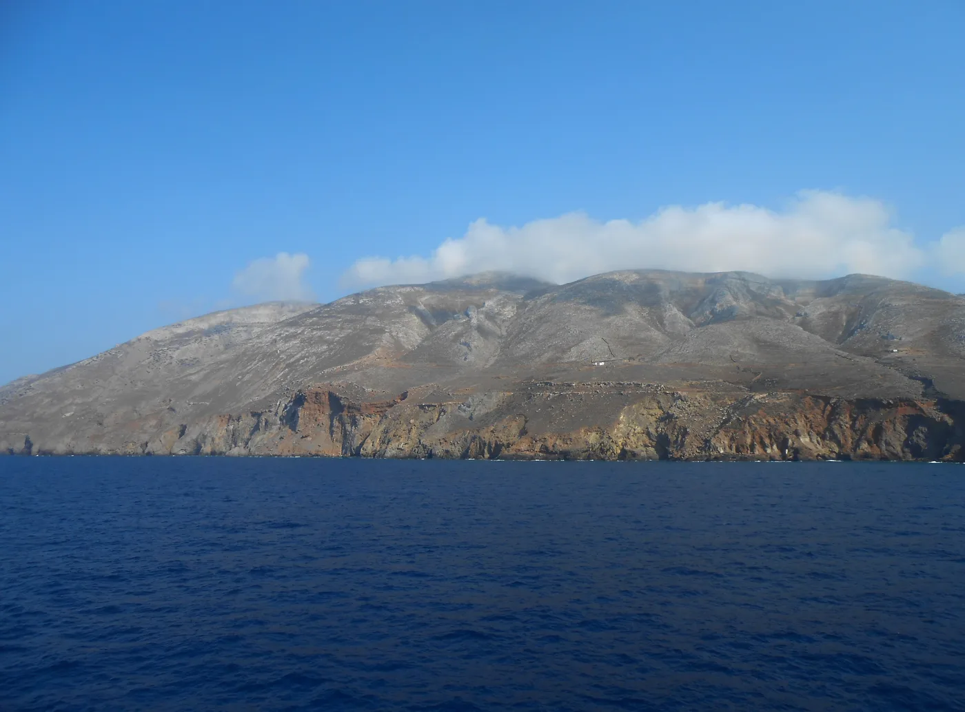
Kasos from the ferry.
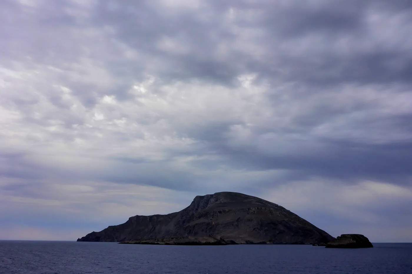
North of Kasos.
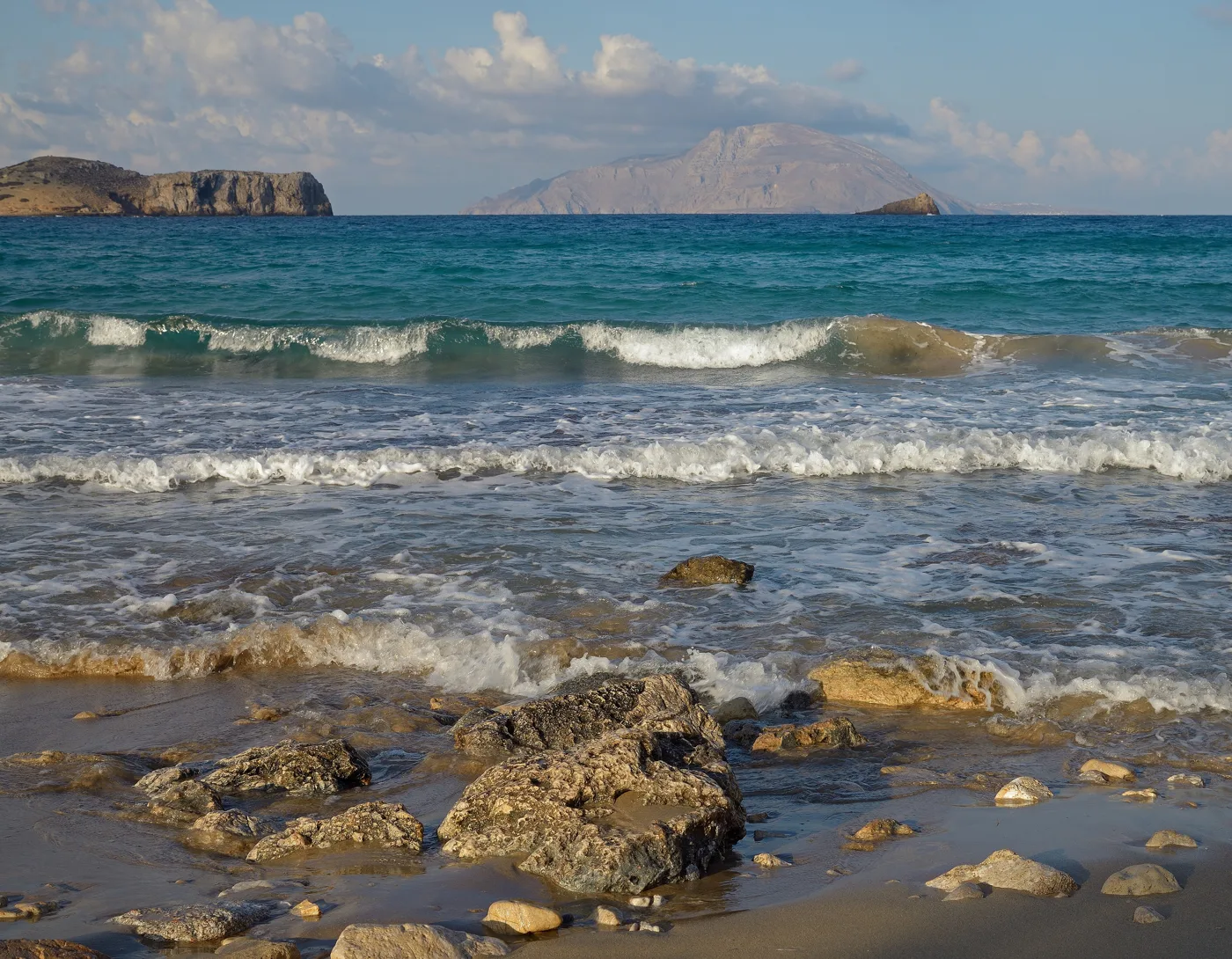
Kasos opposite.
Photos: Athenemo (CC BY-SA 4.0), Albtalkourtaki (Copyrighted free use), C messier (CC BY-SA 4.0), Enpatrais (CC BY-SA 4.0), Dalamagkas Alexis (CC BY-SA 4.0), Vvlasenko (CC BY-SA 3.0) · Wikimedia Commons
In summer, caiques leave Fry in the morning for Armathia and return in the afternoon. There is nothing on the islet, so take water, food and shade. In strong wind the trips are cancelled.
🍽️ What to eat
The tavernas in Fry serve fresh fish and kid goat, and alongside them you will find local recipes of Kasos. Try sitaka, the island’s soft cheese, makarounes, pasta with cheese and fried onion, and dolmades. At the festivals food is shared with everyone, with lyre and lute until morning.
📅 When to go
June and September are the best months, with a warm sea and few people. In early June the anniversary of the holocaust takes place, and in July and August the festivals of Agia Marina, the Transfiguration and the Panagia fill the island. Kasos has the mildest winters in Greece, but ferries are few then.
✈️ How to get there from Athens
| How | Duration | From | Notes |
|---|---|---|---|
| Plane and small plane | About 1 hour to Rhodes or Karpathos | Athens airport | From there small planes fly on to Kasos. |
| Plane and ferry | About 1 hour to Karpathos, plus the ferry | Athens airport | From Karpathos the ferry takes a few hours. |
| Ferry | More than 15 hours | Piraeus | A few sailings a week, via Crete. |
From Ioulianou 50, Piraeus is about 40 minutes by metro and the airport one hour on Line 3. The easiest way is to fly to Karpathos or Rhodes and continue by small plane or ferry. Check the schedules in advance, as they are few and change with the season. Kasos is easy to combine with Karpathos: see also our guide to Karpathos.
🗓️ Three days on Kasos
Fry and Bouka
Walk around Fry, sit by Bouka and climb up to Agios Spyridon. In the afternoon go to Emporeio and its windmill, and in the evening eat at the harbour.
The villages and Ellinokamara
Walk from Agia Marina to Panagia, the Six Churches and Poli. In the afternoon go to the Ellinokamara cave and watch the sunset from Ammoua.
Armathia or the monasteries
Take the caique to Armathia and spend the day on its white sand. If it is windy, drive to Agios Georgios at Chadies and Agios Mamas.
Frequently asked questions
Do I need a car on Kasos?
Not for the villages, which are close together and walkable. For Ellinokamara, Ammoua and the monasteries, a scooter or a car helps, and both can be rented in Fry.
Where should I stay on Kasos?
In Fry, for the harbour, the tavernas and the caiques, or in Agia Marina, for more peace and quiet. Rooms are few, so book early for August.
Is Armathia worth it?
Yes, if the sea is calm. It has some of the finest sandy beaches in the Dodecanese, but no facilities, so take everything you need with you.
How many days do I need?
Three to four days are enough for Fry, the villages, Ellinokamara and Armathia. If you like peace and quiet, a week passes easily.
— Kathy