🪪 The island at a glance
📍 Where it is
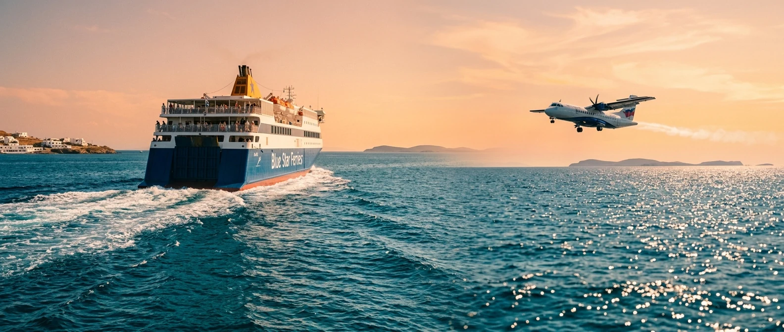
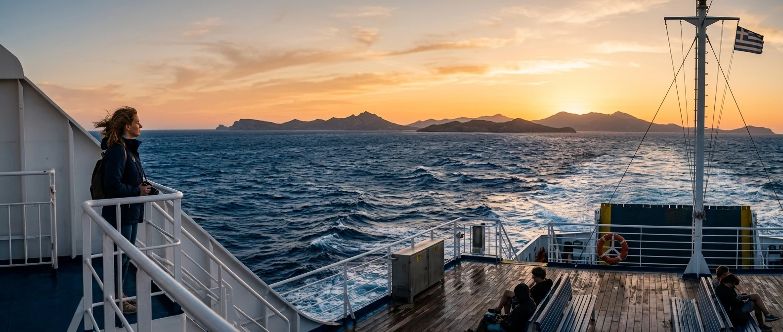
Ikaria lies in the eastern Aegean, west of Samos, north of Patmos and east of Mykonos. The sea around it is called the Icarian Sea, after Icarus. It has two ports, Agios Kirykos in the south and Evdilos in the north, where ferries from Piraeus arrive in seven to ten hours, and a small airport at the eastern tip, with flights from Athens.
📍 Where Ikaria is
Ikaria lies in the eastern Aegean, west of Samos and north of Patmos, and gives its name to the Icarian Sea. The island is shown in red, and Piraeus and Athens airport in green.
🗺️ The map of the island
Ikaria is long and narrow, about forty kilometres from end to end, and in the middle rises Atheras, a mountain range of over a thousand metres. The south coast is steep, with few villages. The north is gentler, with the big sandy beaches and most of the places to stay. Agios Kirykos and Therma are at the south-eastern tip. On the north coast are Evdilos, Kampos, Armenistis and Nas, and high on the mountain Raches, with Christos. Between the two ports, the road crosses the mountain with many bends and takes about an hour.
🗺️ Map of Ikaria
Ikaria is long and narrow, a mountain dropping steeply into the sea. Agios Kirykos, the capital, and Therma are in the south, on the eastern side. Evdilos, Armenistis and Nas are on the north coast, with the big beaches, and Raches on the mountain above them. Seychelles beach is on the south coast, below Manganitis. Tap each number to see what it is.
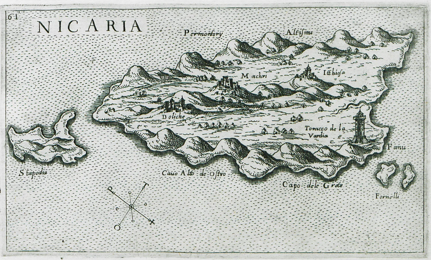
Map: Giuseppe Rosaccio, 1598 (Public domain) · Wikimedia Commons
⚖️ Is it worth it? The pros and cons
Ikaria is an island for people who want nature, company and a slow pace, and don’t mind the long journey and the bends. Here is an honest picture.
📊 At a glance, from 1 to 5
👍 The pros
- The summer festivals, which go on until morning.
- Wild, green landscape, with rivers, forests and trails.
- Beaches such as Seychelles, Nas and Messakti.
- A pace of life you won’t find on any other island.
- Prices lower than on the famous Cyclades.
👎 The cons
- A long ferry trip from Piraeus.
- Narrow mountain roads, you need a car and patience.
- The north has big waves when the wind blows.
- Few organised things, and opening hours nobody keeps.
🌊 Armenistis and Nas
Armenistis, on the north-west coast, is the most touristy village on the island, and still small: white houses on the slope, a little harbour with tavernas and two big sandy beaches next to it, Livadi and Messakti. Above the village, the lighthouse of 1891 looks out over the whole north coast.
A few kilometres west, Nas is a sheltered cove at the mouth of the Chalaris river. You go down steps from the tavernas on the road and find a sandy beach, a small freshwater lagoon and the foundations of the temple of Artemis Tauropolos, who protected sailors. Behind the beach, a path climbs into the Chalaris gorge, with plane trees, rock pools and stone bridges. The sunset from the tavernas above Nas is one of the most beautiful on the island.
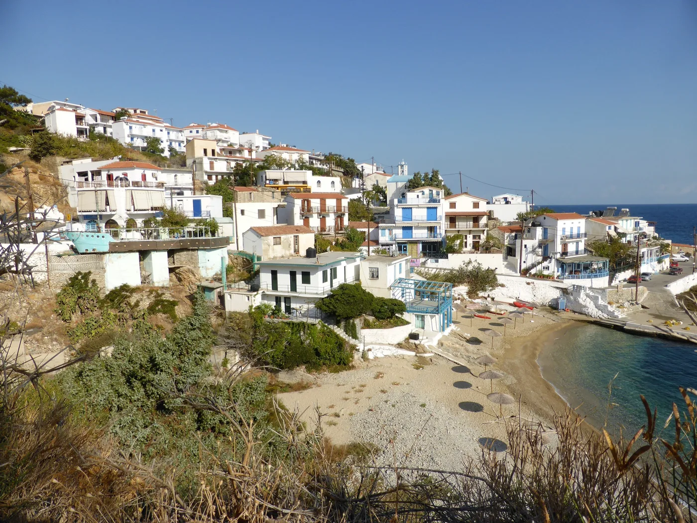
The village, the beach and the little harbour.
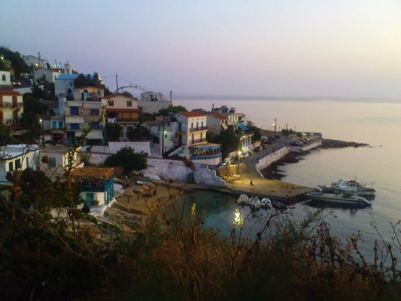
The little harbour, when the lights come on.
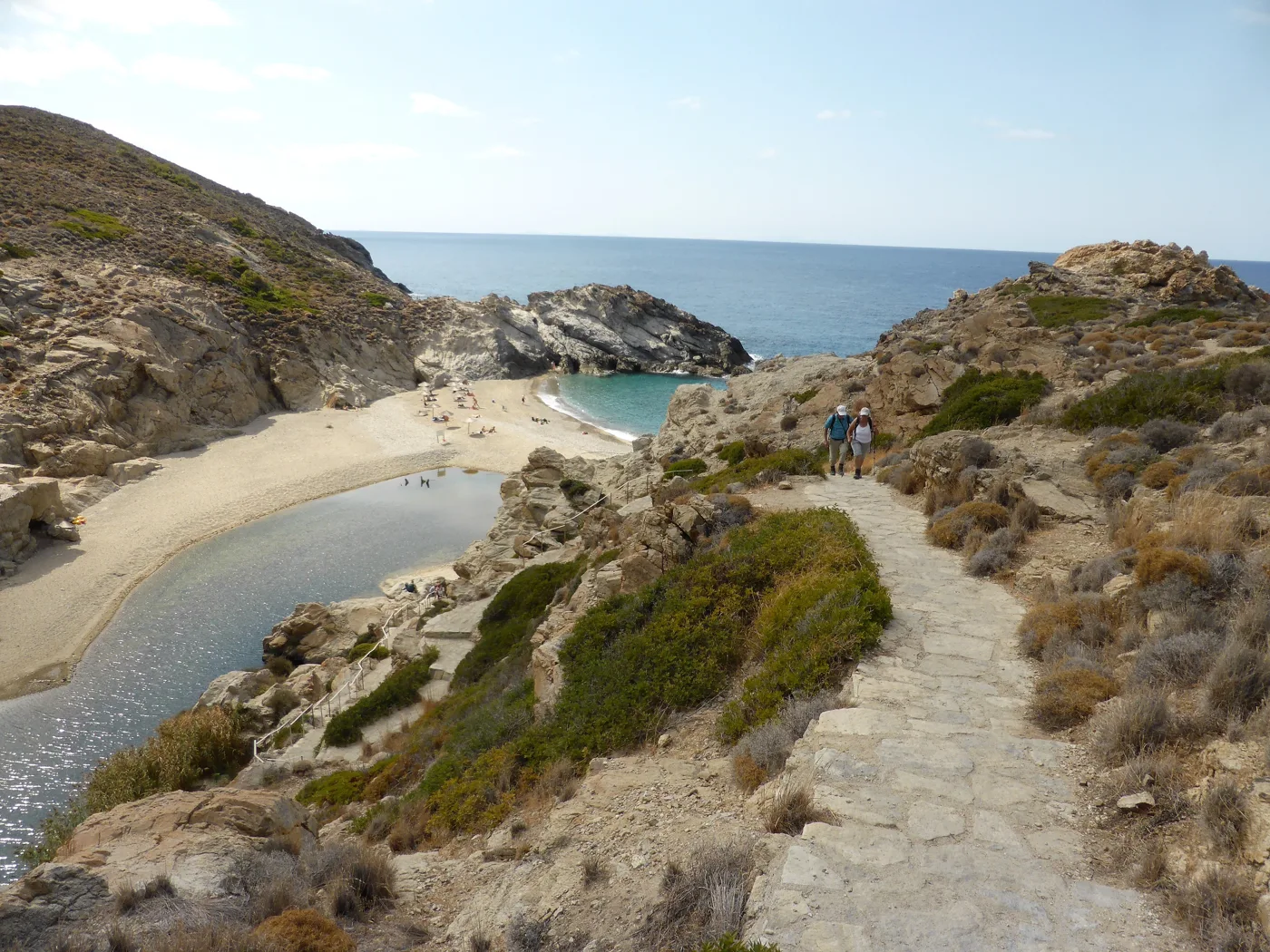
The cove, the river and the path.
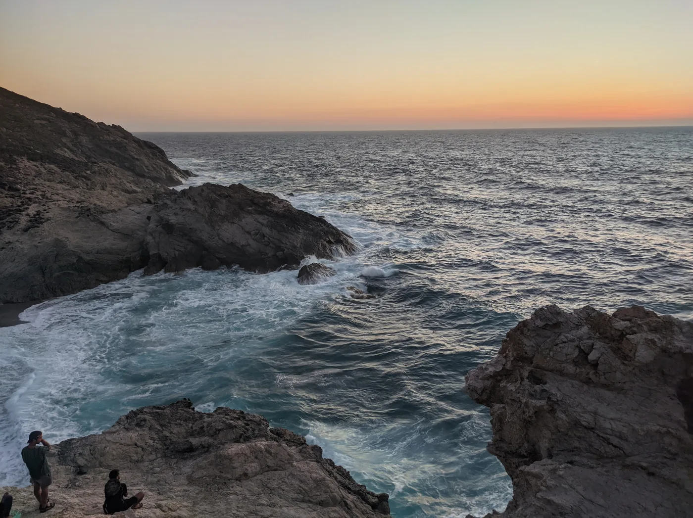
The north, when the wind blows.
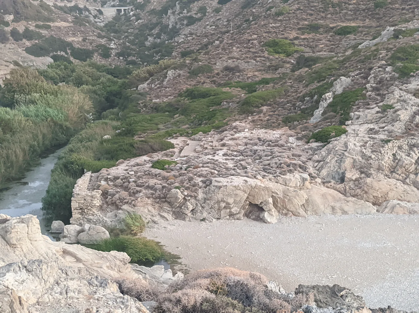
A few stones, next to the sea.
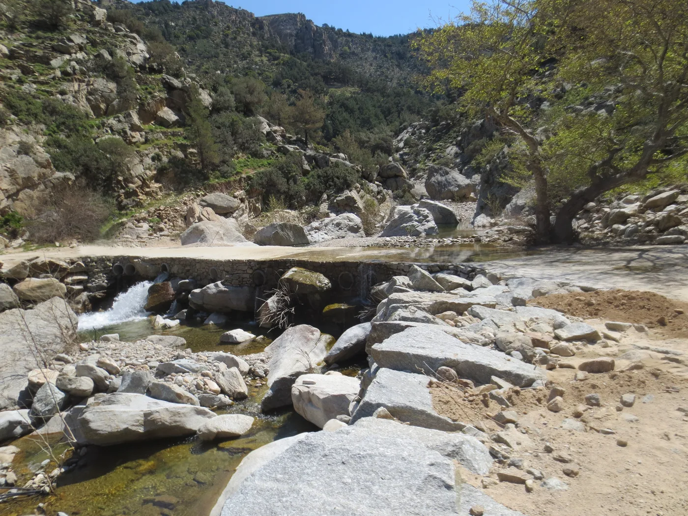
The gorge behind Nas.
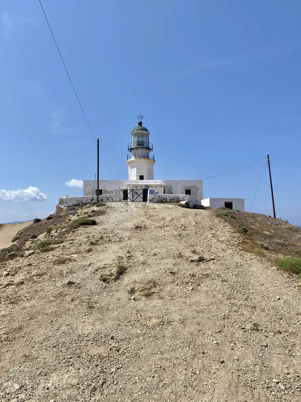
Since 1891, above Armenistis.
Photos: Rosa-Maria Rinkl (CC BY-SA 4.0), Sotiria Pacharaki (CC BY-SA 4.0), Leeturtle (CC BY-SA 4.0), adamansel52 (CC BY 2.0), w_lemay (CC BY-SA 2.0) · Wikimedia Commons
When the meltemi blows, Messakti, Livadi and Nas have big waves and currents. Swim only where there is a lifeguard, and watch for red flags. On windy days, go south, to Seychelles or Therma.
🎻 Raches, “Ikarian time” and the panigyria
On the mountain above Armenistis, Raches is a string of villages among forests and vineyards, and their centre, Christos Raches, is famous all over Greece for its opening hours: the shops, even the bakery, open in the afternoon and stay open until late at night. In the morning the village sleeps. This is “Ikarian time”, and if you accept it, you will understand the island.
In summer, every village celebrates its saint with a panigyri: long tables in the square, meat with potatoes, wine, violin, lute, and the ikariotikos dance, which starts slowly and gets faster and faster, until morning. Everyone dances, locals and visitors, children and grandparents. The money goes to the village, for roads, schools and churches. Most festivals are in July and August, and the dates appear every year on posters all over the island.
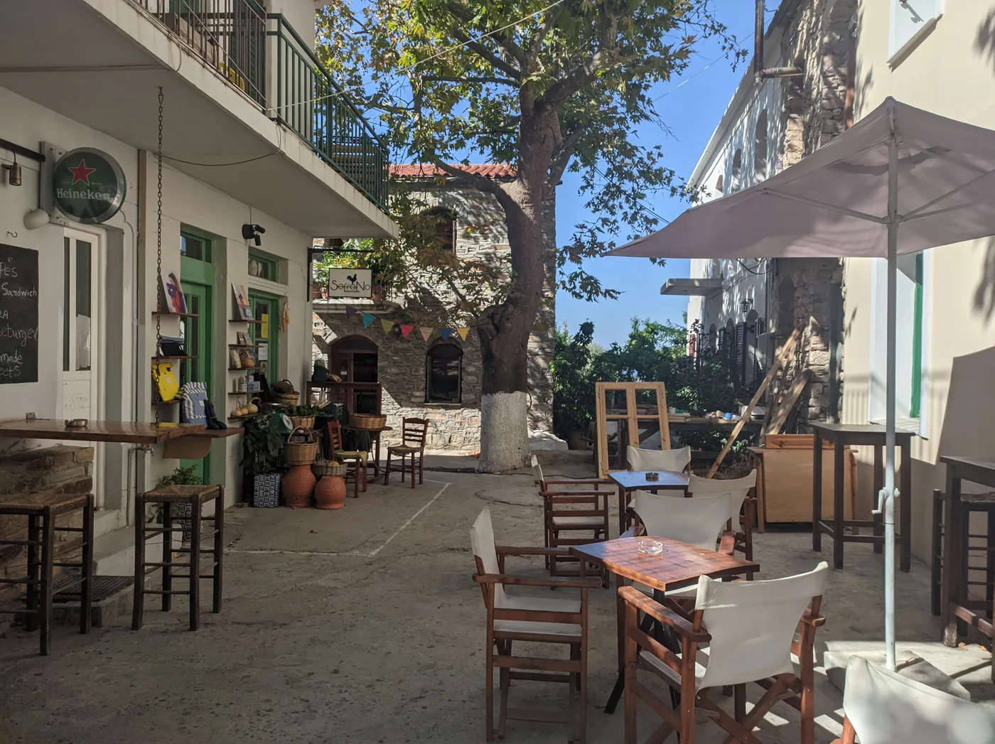
Opens in the afternoon, closes late.
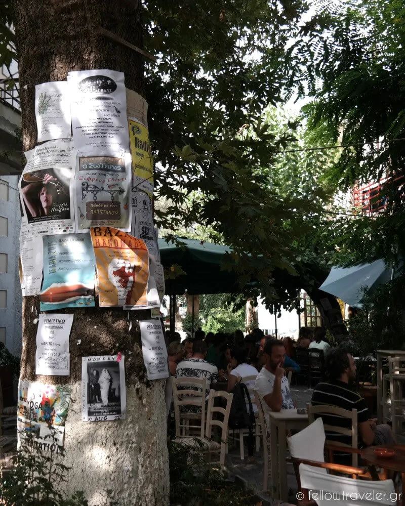
The village notices, on the tree.
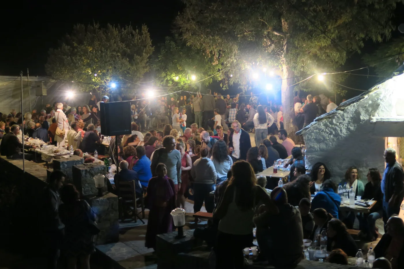
Until morning, with the whole village.
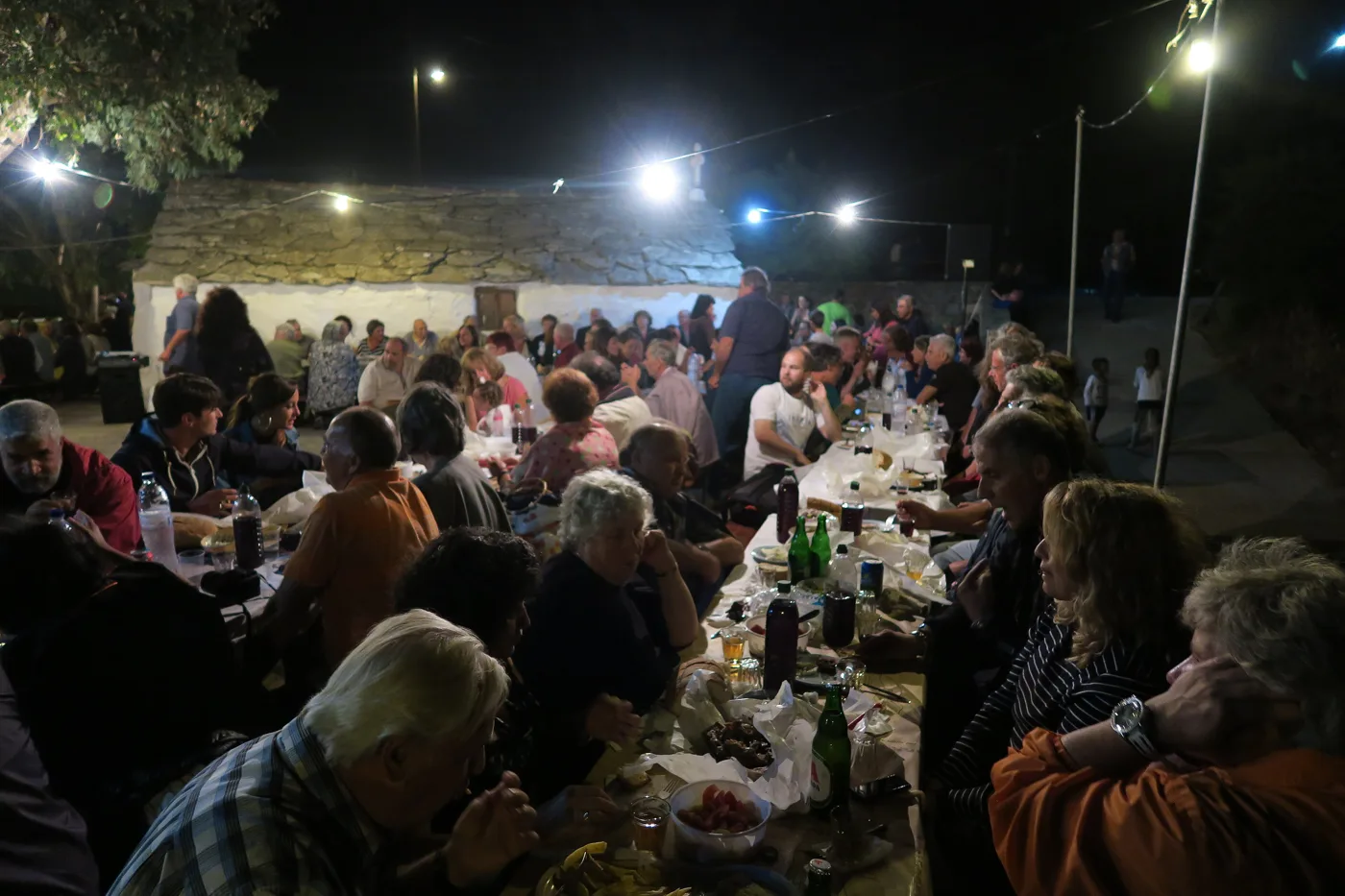
Meat, wine and conversation.
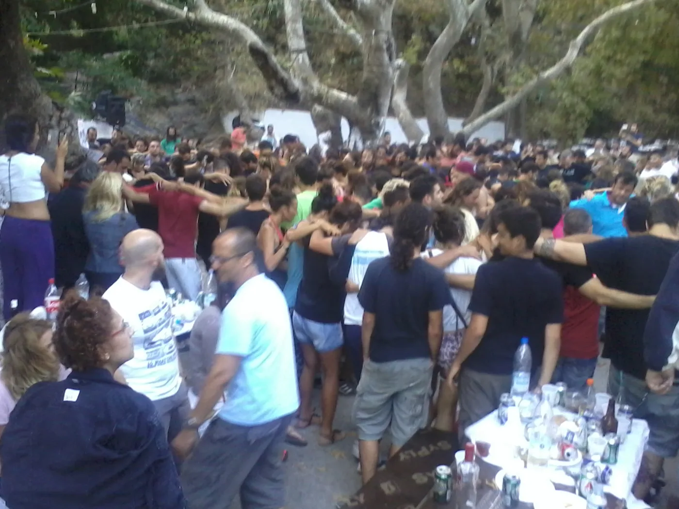
The dance that gets everyone up.
Photos: Leeturtle (CC BY-SA 4.0), Vasiliki Theodoridou (CC BY 2.0), adamansel52 (CC BY 2.0), ZoonPolitikon (CC BY-SA 4.0) · Wikimedia Commons
Go after ten in the evening, when the dancing starts, and stay at least until two. You pay at the entrance for food and wine, as much as you like. Don’t drive afterwards, the roads are mountainous: book a taxi early or stay nearby.
♨️ Agios Kirykos, Therma and Evdilos
Agios Kirykos, the capital, is a quiet small town on the south coast, with neoclassical houses, a square with cafés at the harbour, and the metal statue of Icarus with wings at the end of the jetty. According to the myth, Icarus escaped from Crete with his father, Daedalus, on wings made of wax, flew too close to the sun, the wax melted and he fell into the sea next to this island, which took his name.
Next to it, Therma is a village built around healing springs, known since antiquity for rheumatism and the skin. There are the municipal baths, and a few spots where the hot water comes out into the sea. On the north coast, Evdilos is the second port, with neoclassical houses, tavernas and fishing boats, and a little to the west, Kampos has a lovely sandy beach and the ruins of ancient Oinoe.
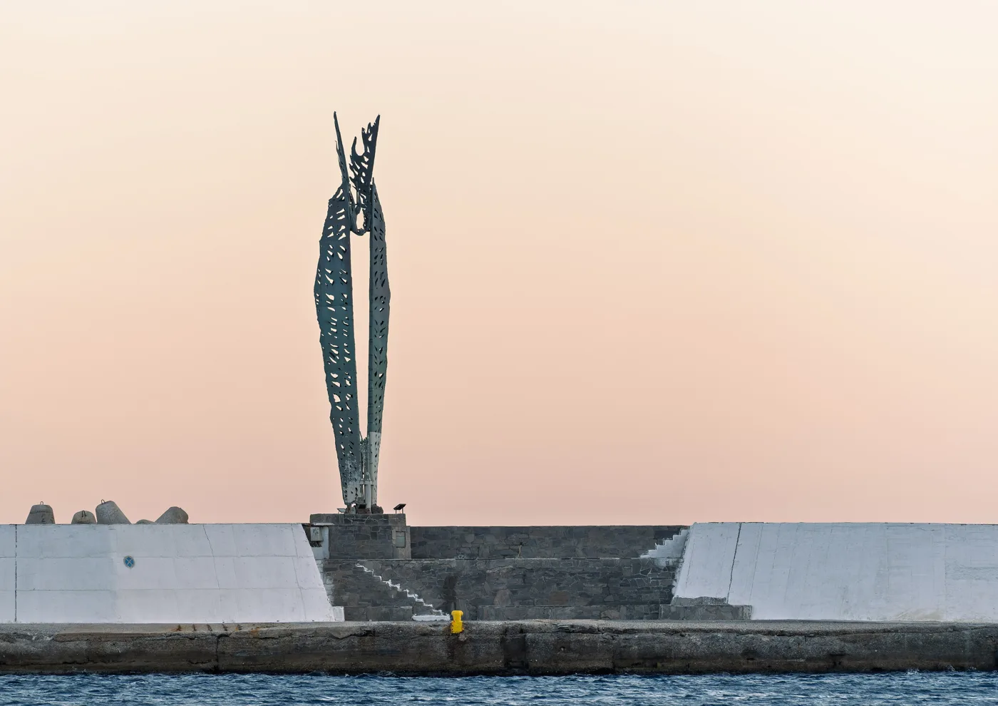
At the harbour of Agios Kirykos.
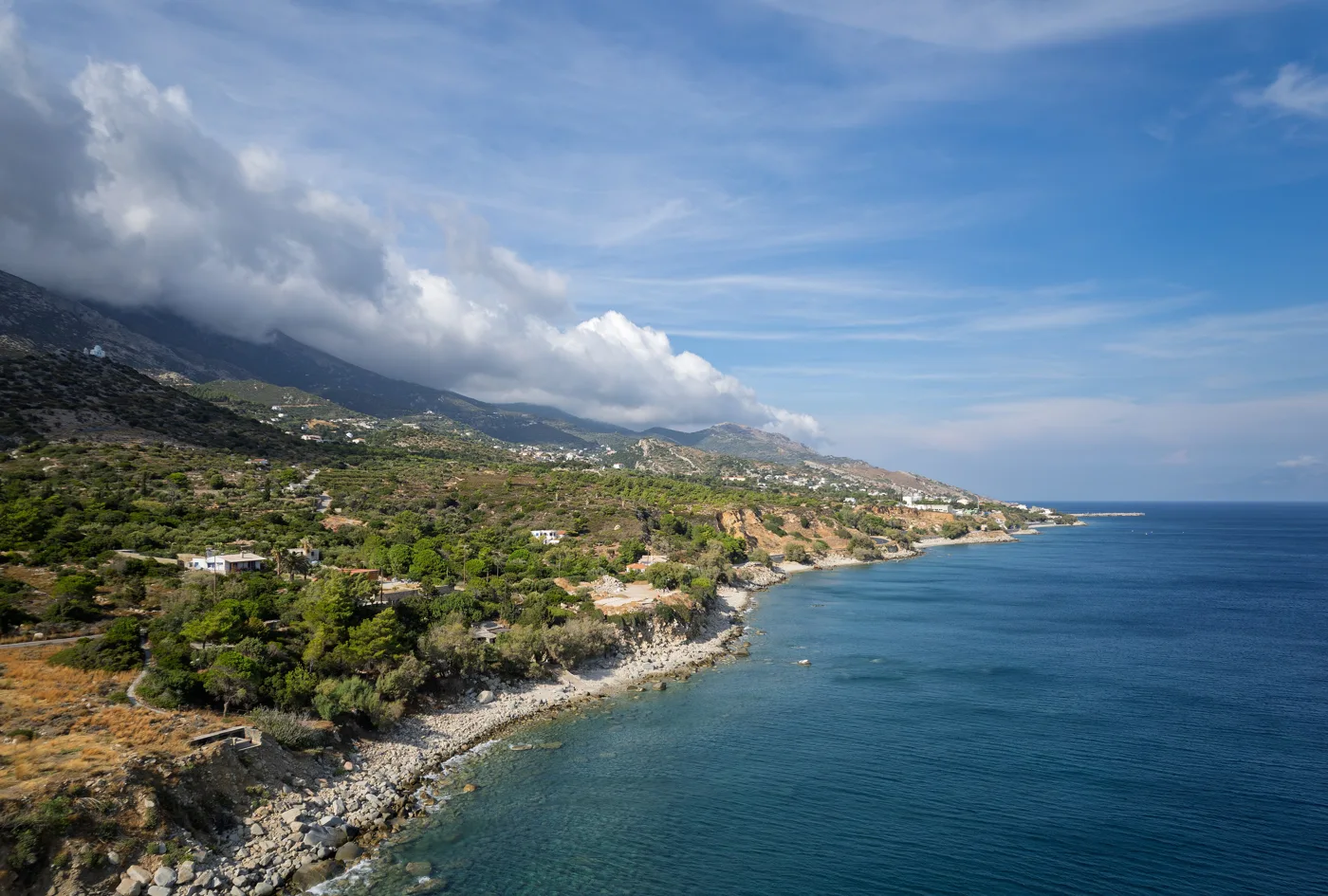
Towards Agios Kirykos.
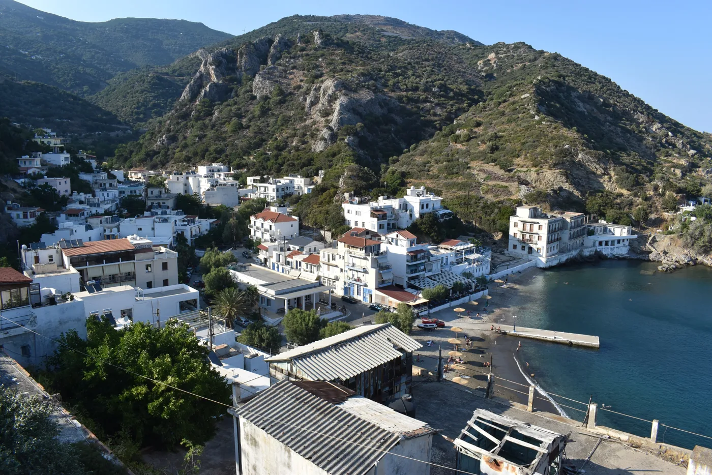
The village of the healing springs.
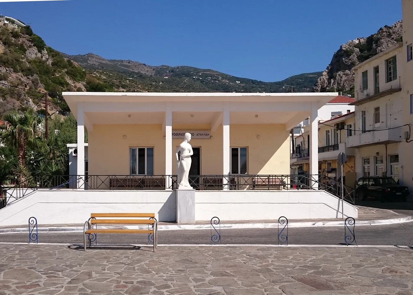
The municipal baths.
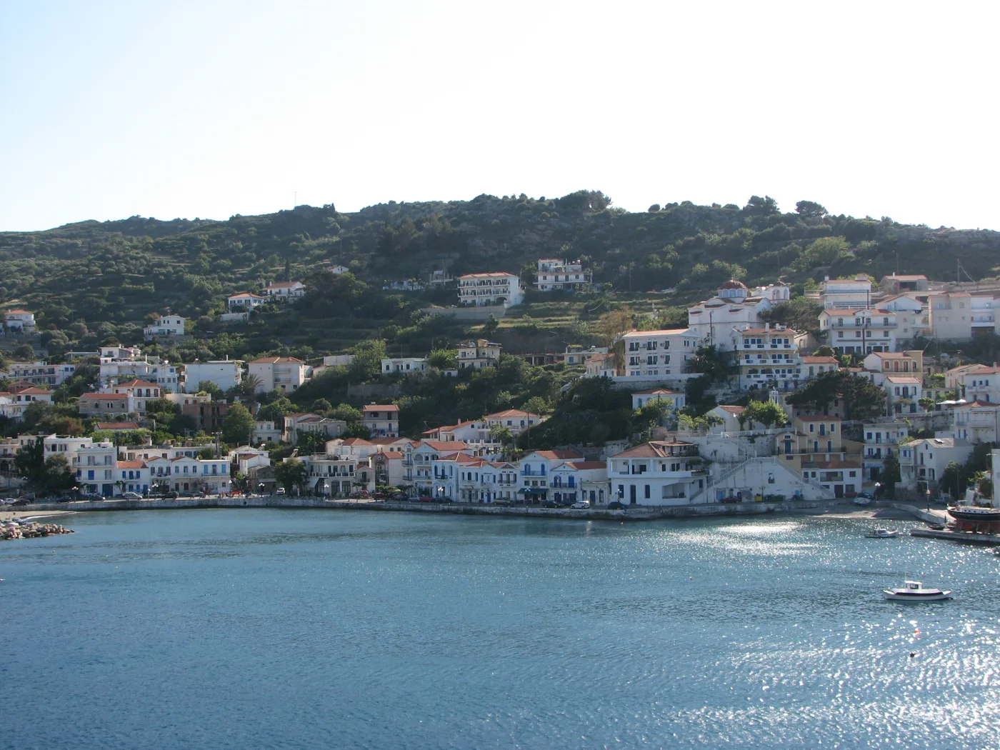
The port of the north.
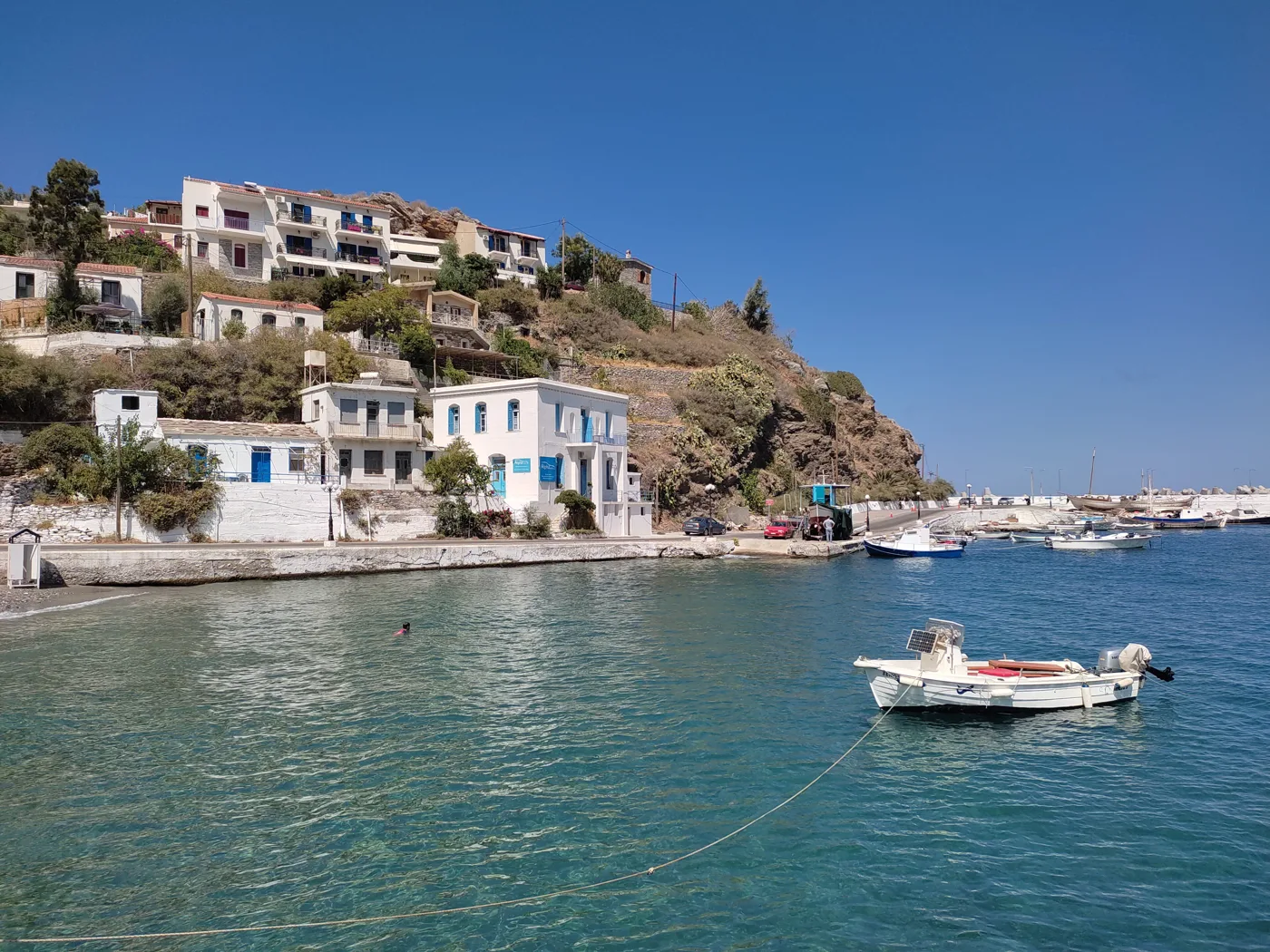
Neoclassical houses and fishing boats.
Photos: Jules Verne Times Two (CC BY-SA 4.0), Annatsach (CC BY-SA 4.0), Art Grafix (CC BY-SA 4.0), Stelios Kiousis (CC BY-SA 2.0), JoraK (CC BY-SA 4.0) · Wikimedia Commons
🏰 Monasteries, castles and history
Above Kampos, the Monastery of Theoktisti, from the 17th century, stands in a pine forest, and a few metres below, the little church of Theoskepasti is built under a huge rock, so low that you go in bent over. Further south, the Byzantine Koskina Castle stands on the top of a rocky hill, with a little church inside the walls and a view of both seas. At the eastern tip, the tower of Drakano, from the 4th century BC, guarded the ancient harbour. The Homeric Hymn to Dionysus names Drakanon as one of the places where the god was born.
Ikaria also has a more recent, proud history. On 17 July 1912, the islanders drove out the Ottomans and founded the Free State of Ikaria, with its own flag and stamps, which lasted about five months, until the island joined Greece. After the war, thousands of leftists were exiled here, among them Mikis Theodorakis, and that is why the island is still called the “Red Rock”.
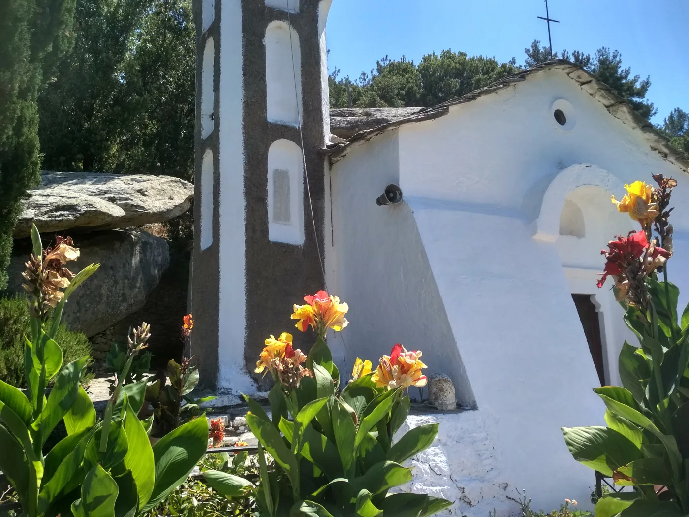
Among pines, above Kampos.
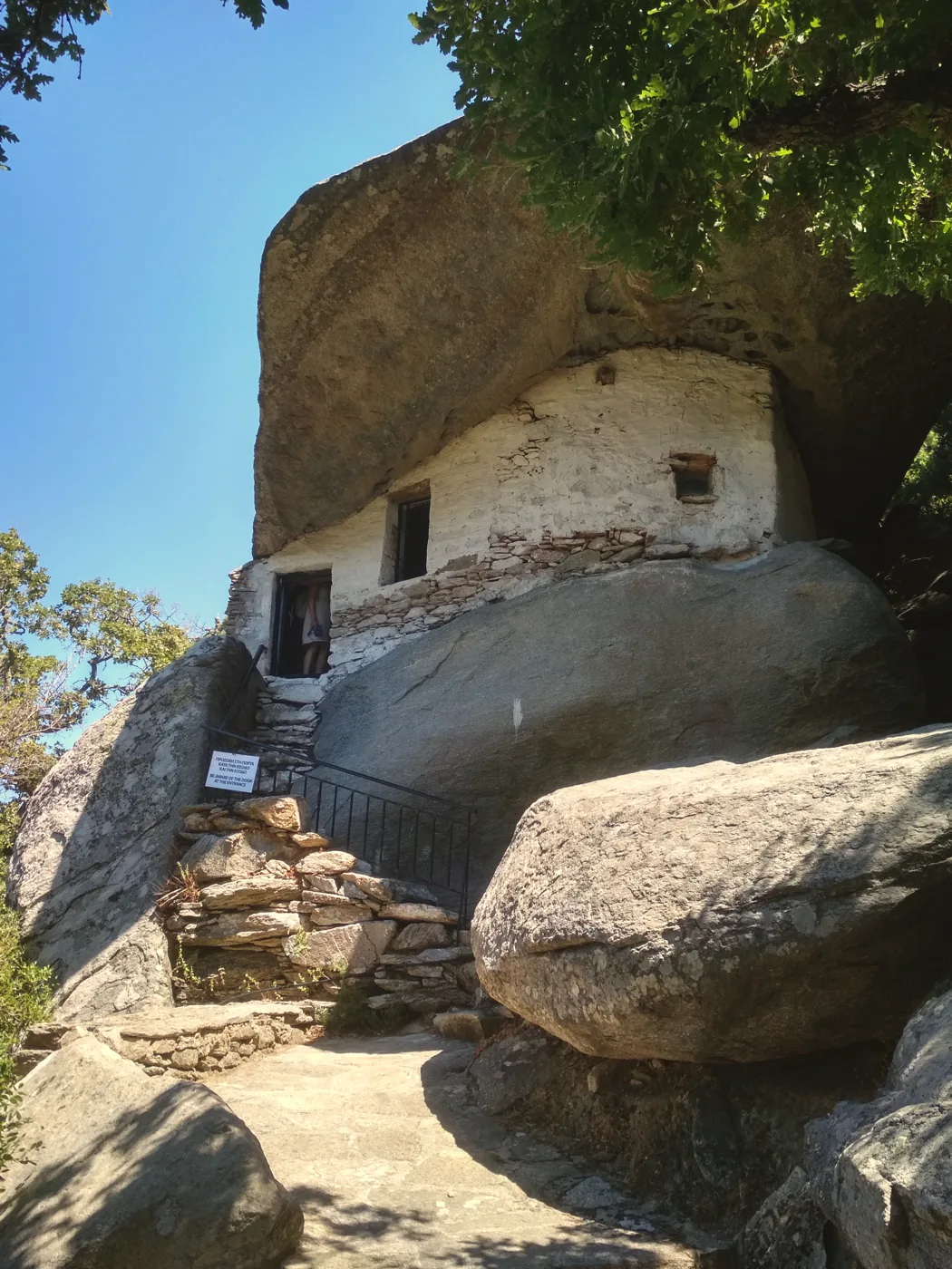
Under the rock, hidden.
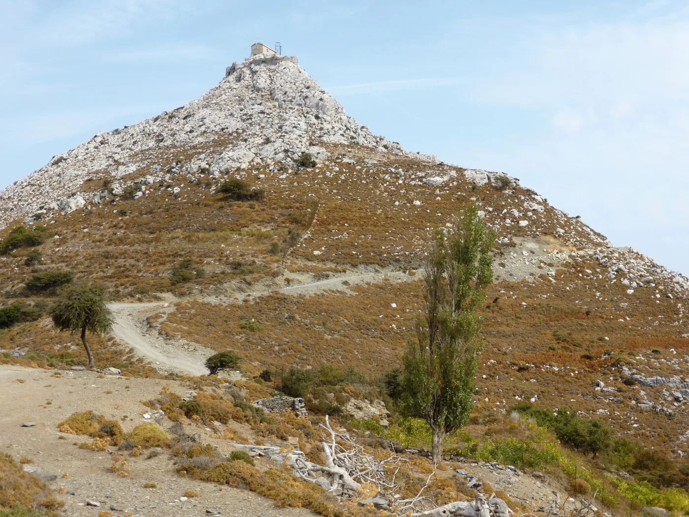
Byzantine, on top of a rock.
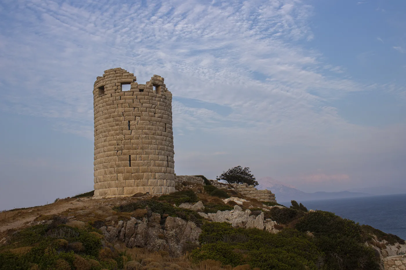
From the 4th century BC.
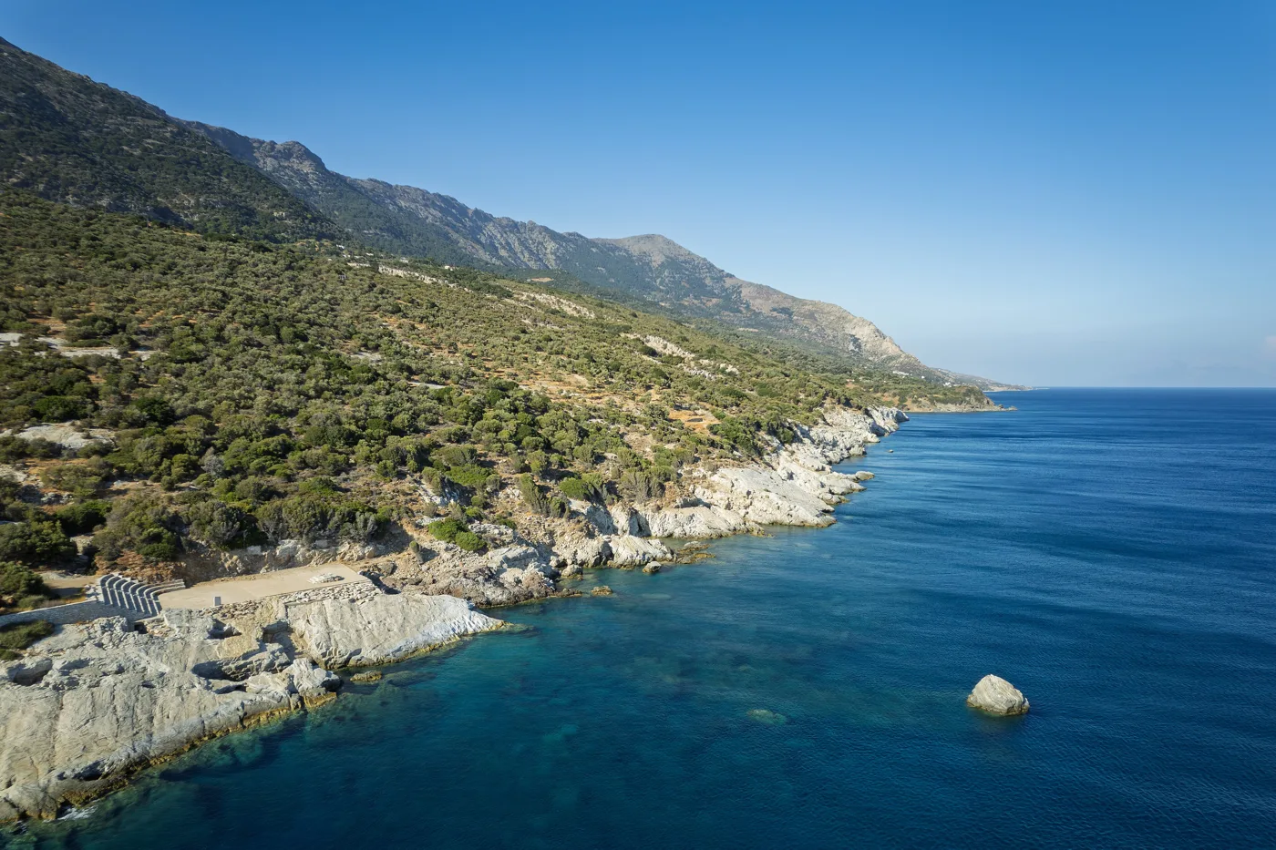
A mountain dropping into the sea.
Photos: Aimil xpp (CC BY-SA 4.0), Rosa-Maria Rinkl (CC BY-SA 4.0), Raini Svensson (Public domain), Jules Verne Times Two (CC BY-SA 4.0) · Wikimedia Commons
🫒 The secret of longevity
Ikaria is one of the few places in the world that researchers have called “Blue Zones”, because far more people there than elsewhere reach ninety in good health. The explanations they give are simple: food from the garden, lots of pulses and greens, little meat, wine in moderation, tea from mountain herbs, walking on the slopes, an afternoon nap, and lots of company. And “Ikarian time”, with no stress about the clock.
🏖️ The beaches
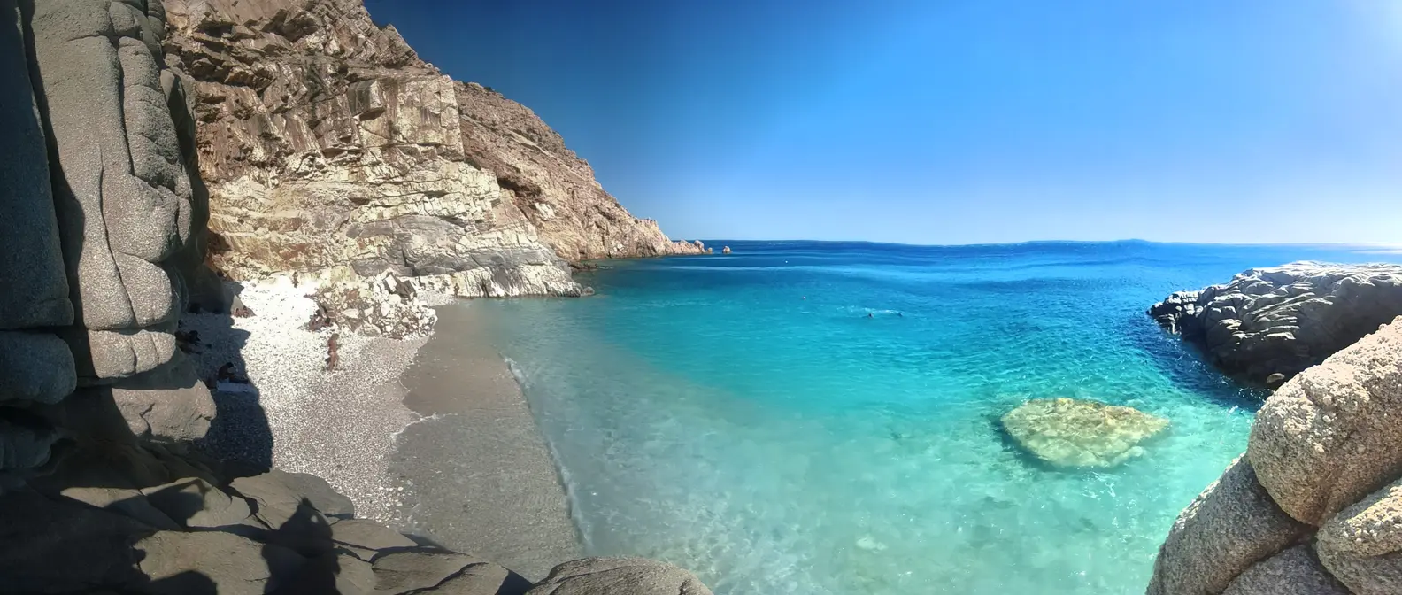
The best-known beaches of Ikaria are in the north, big sandy beaches with waves, but the most photographed one is in the south. Seychelles, below the village of Manganitis, is a small bay with white pebbles, huge grey boulders and turquoise water. You leave the car on the road and walk down a steep path in about fifteen minutes. There is no shade and no shop, so take water. Messakti, next to Armenistis, is the biggest sandy beach, with beach bars, sunbeds and a river flowing into the sea. Nas is the most beautiful cove, and Livadi the easiest sandy beach, right in the village.
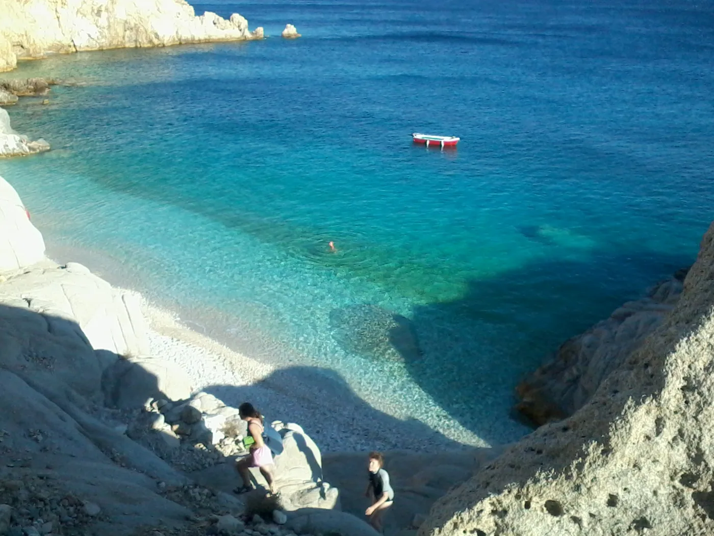
The most photographed beach on the island.
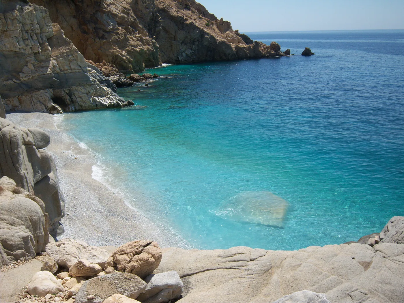
White pebbles and clear water.
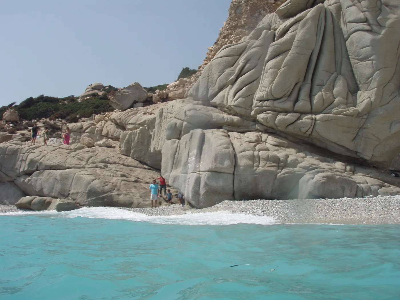
At one end of the beach.
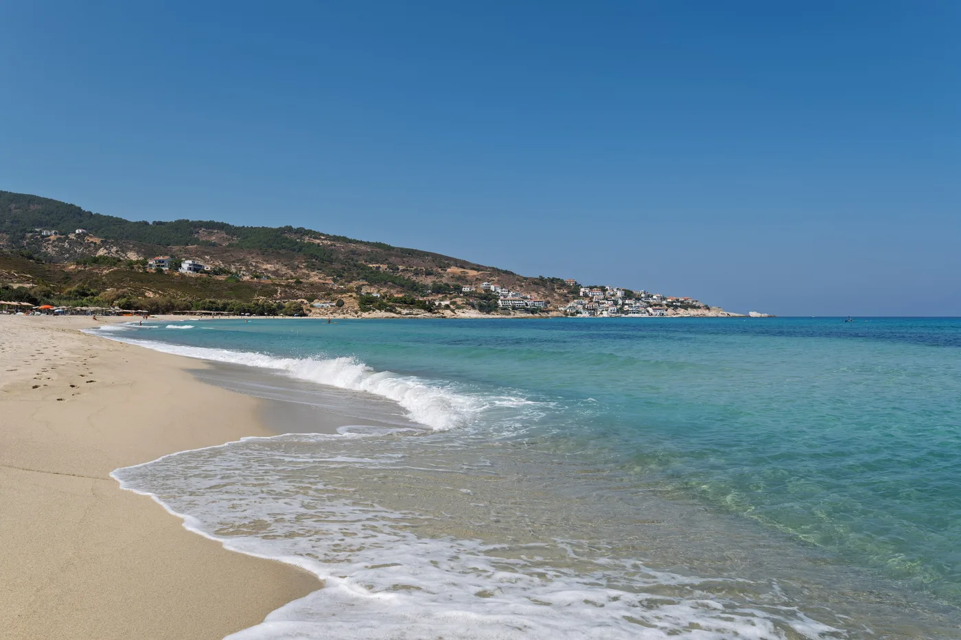
Sand, waves and a river.
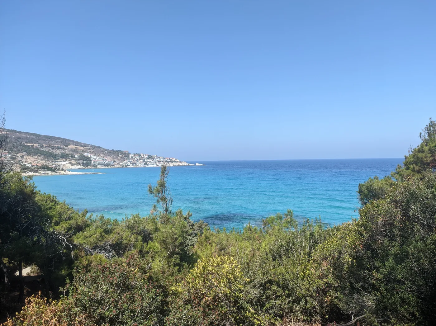
The road from Evdilos.
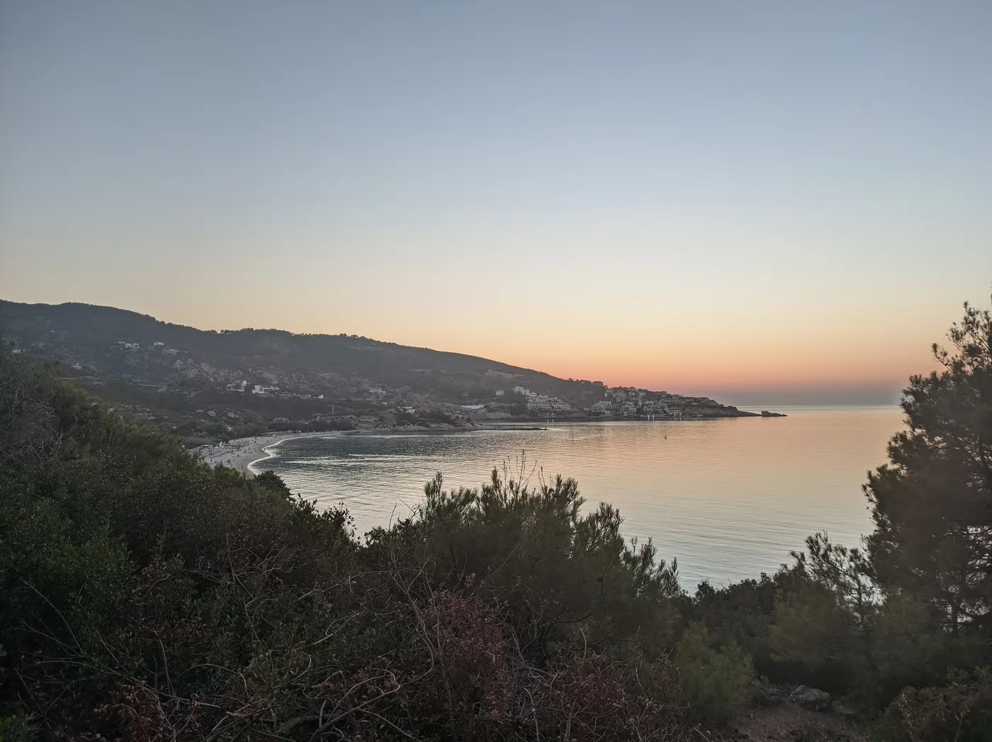
From the beach, towards the sunset.
Photos: ZoonPolitikon (CC BY-SA 4.0), Zouzouloo (CC BY-SA 4.0), Kostas Limitsios (CC BY 2.0), Jules Verne Times Two (CC BY-SA 4.0), Leeturtle (CC BY-SA 4.0) · Wikimedia Commons
- Seychelles: white pebbles, turquoise water, reached by a path.
- Messakti: a big sandy beach, with waves and a lifeguard.
- Livadi Armenisti: a sandy beach in the village.
- Nas: a small cove with a river and an ancient temple.
- Gialiskari: sand and tavernas, between Evdilos and Armenistis.
- Kampos: a sandy beach next to Evdilos.
- Faros: a long sandy beach at the eastern tip, near the airport.
🍽️ What to eat
The island’s signature dish is soufiko, a stew of courgettes, aubergines, peppers and tomato. Also try the pumpkin pie, the mountain greens, oven-baked kid and kathoura, the island’s goat cheese. Ikarian honey, from thyme and heather, is among the best in Greece, and you will find herbs for tea, sage, savory and mint, in every village. Homer already mentions the wine, Pramnian wine, and today small wineries in Raches are making it again.
📅 When to go
June and September have warm sea, less wind and empty beaches. July and August are the months of the festivals, and then the island fills up, especially around 15 August. Book your ferry and room early. In April and May Ikaria is green and ideal for walking the trails, but the sea is still cold.
⛴️ How to get there from Athens
| How | Duration | From | Notes |
|---|---|---|---|
| Plane | About 50 minutes | Athens airport | Few flights, book early. The airport is at the eastern tip. |
| Ferry | About 7–10 hours | Piraeus | To Agios Kirykos or Evdilos, often via Syros and Mykonos. There are also overnight sailings. |
From Ioulianou 50, go to Piraeus on Line 1, straight to the port, or to the airport on Line 3. Check which port your ferry arrives at: for Armenistis and Nas, Evdilos is better, for Therma, Agios Kirykos. On the island buses are few, and you will need a car. From Agios Kirykos there are small boats to Fourni and Patmos, and Samos is close: see our guide to Samos.
🗓️ Three days on Ikaria
Armenistis and Nas
Morning at Messakti or Livadi in Armenistis. Afternoon at Nas: go down the steps to the cove, see the foundations of the temple of Artemis and walk a little into the Chalaris gorge. Sunset from the tavernas above Nas.
The south and the monasteries
In the morning, the Monastery of Theoktisti and Theoskepasti. Then go down to Manganitis and walk to Seychelles for a swim. In the evening go up to Christos Raches, where the shops open late and close even later.
Agios Kirykos and Therma
A walk around the harbour of Agios Kirykos and the statue of Icarus, and a warm bath in the springs at Therma. In the afternoon, out to the tower of Drakano at the eastern tip, and if it is August, a panigyri in the evening.
Frequently asked questions
Where should I stay on Ikaria?
In Armenistis, for the beaches, the tavernas and Raches nearby. In Evdilos, for the port and a more central location. In Agios Kirykos or Therma, if you want the hot springs and boats to Patmos and Fourni.
Do I need a car?
Yes. The island is big and mountainous, and buses are few. The roads have many bends, drive slowly and allow more time than the map suggests. Rent at the port or the airport, and in August book ahead.
Is Ikaria good for families?
Yes, for families who love nature. Livadi and Kampos are the calmest sandy beaches, and the festivals are a party for children. Watch out for the waves on the northern beaches and the paths down to Seychelles.
How many days do I need?
At least four, because the journey is long and the island needs time. A week to see both the north and the south, and go to a festival or two.
— Kathy