🪪 The island at a glance
📍 Where it is
Iraklia lies in the Small Cyclades, south of Naxos and next to Schinoussa. Ferries from Piraeus take 6 to 8 hours, via Naxos. From Naxos the small boat of the Small Cyclades takes about an hour, and continues to Schinoussa, Koufonisia and Donousa.
📍 Where Iraklia is
Iraklia is the westernmost of the inhabited islands of the Small Cyclades, south of Naxos and close to Schinoussa. The island is shown in red, and in green Piraeus, Naxos and Schinoussa, where the boats come from.
🗺️ The map of the island
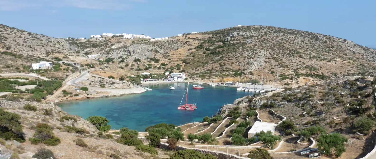
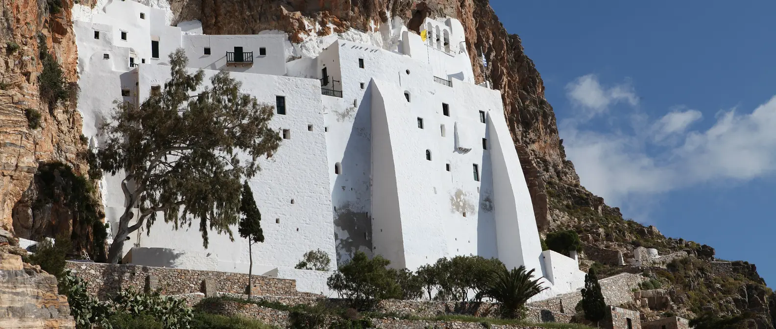
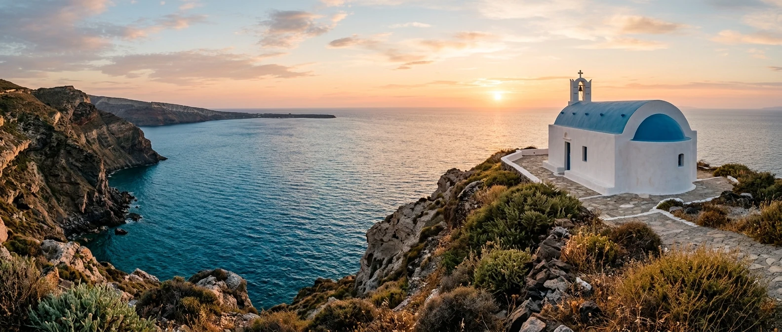
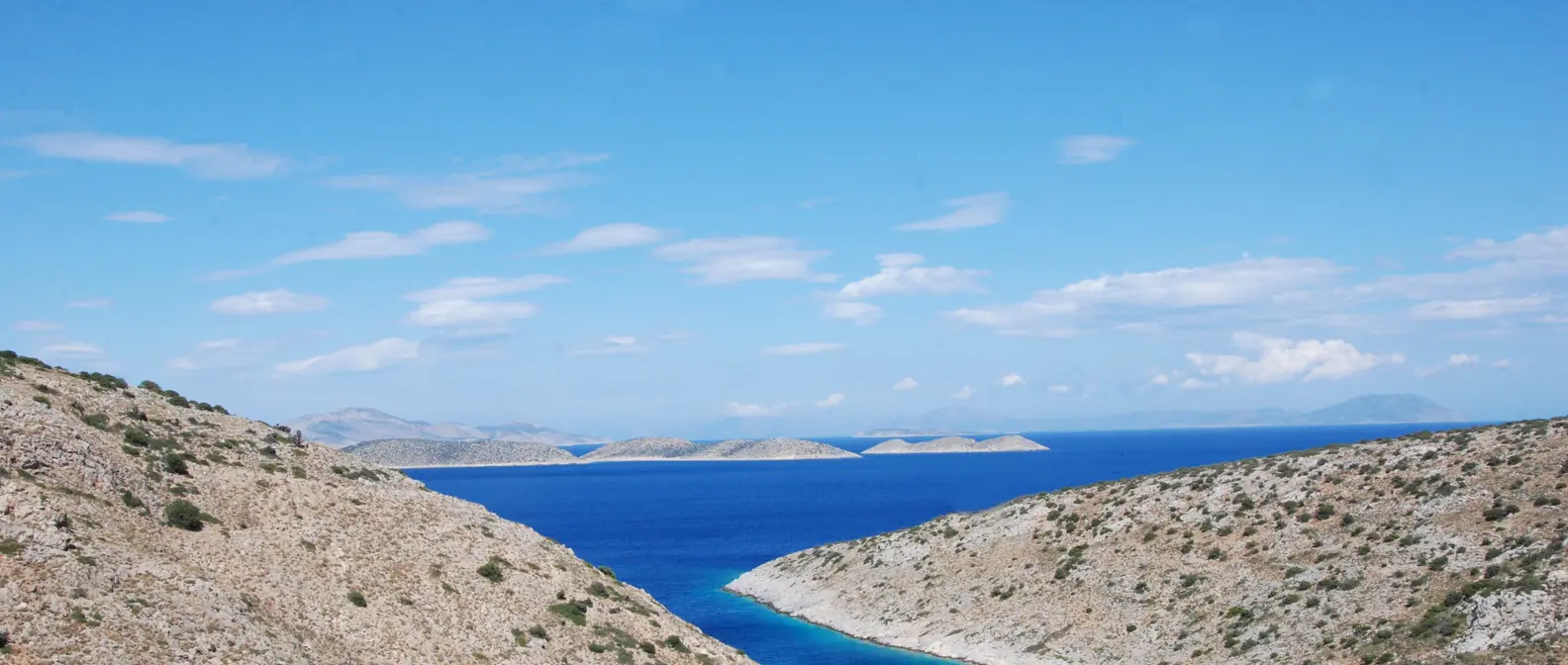
Iraklia is mountainous, with bare slopes, bushes and bays with blue water. The harbour, Agios Georgios, is the biggest village, and a road runs from there to Livadi and climbs to the village of Panagia. You explore the rest of the island on foot, along a network of marked footpaths. Much of the island is a protected Natura area.
🗺️ Map of Iraklia
Iraklia is mountainous, with steep slopes and deep bays. The harbour, Agios Georgios, is on the north-east coast, with Livadi and the Kastro to the south. Panagia is in the middle of the island, below Papas, and the Cave of Agios Ioannis, Alimia and Karvounolakos are in the south-west. Tap each number to see what it is.
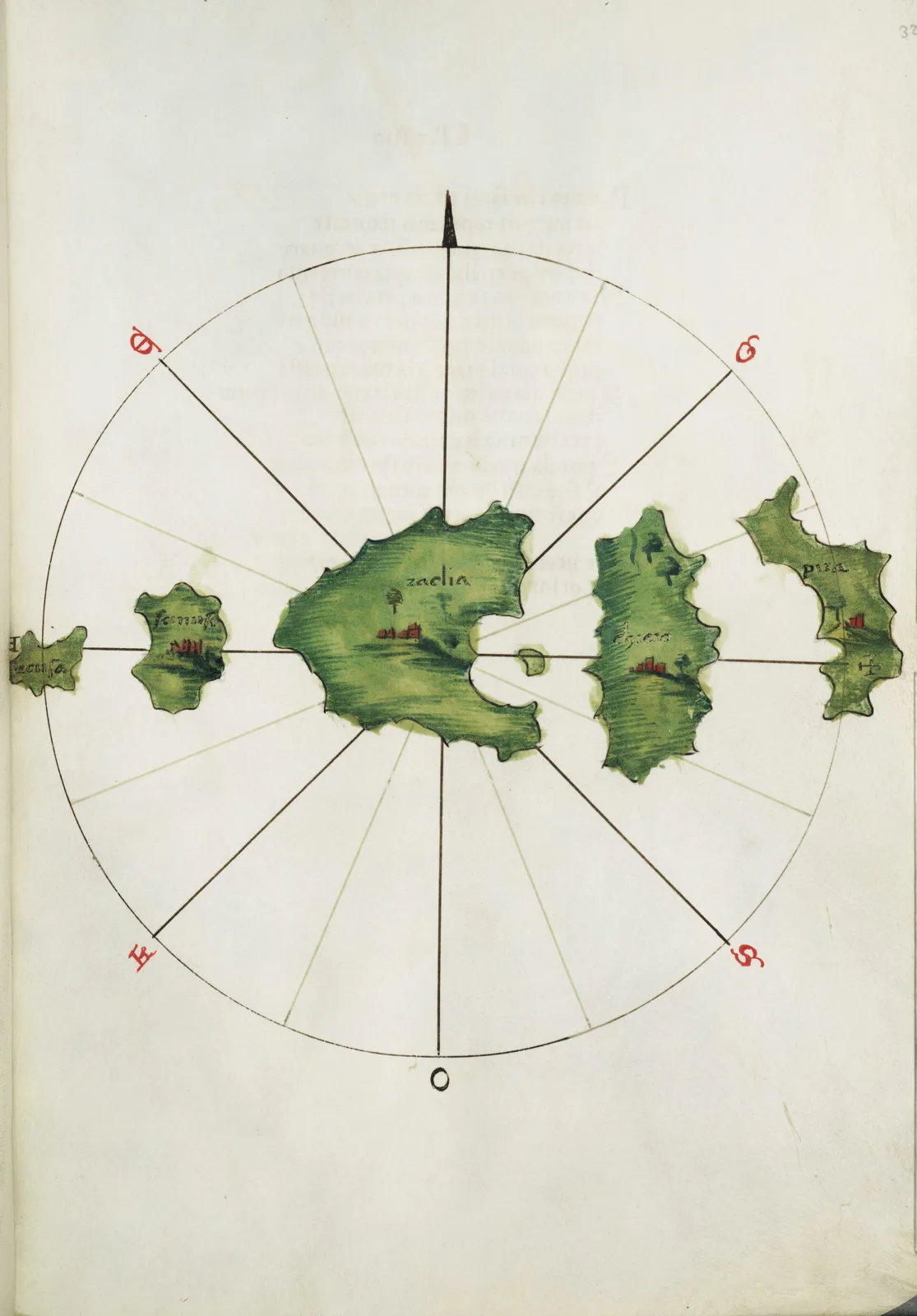
Map: Bartolomeo dalli Sonetti (Public domain) · Wikimedia Commons
⚖️ Is it worth it? The pros and cons
Iraklia is for people who want peace, nature and walking. Here is an honest picture.
📊 At a glance, from 1 to 5
👍 The pros
- The quietest of the inhabited islands of the Small Cyclades.
- The Cave of Agios Ioannis, one of the largest in the Cyclades.
- Marked footpaths through wild, protected nature.
- Livadi, a long sandy beach with shallow water.
- Friendly locals and a simple life.
👎 The cons
- Very few shops and tavernas.
- Few ferries, especially outside summer.
- Most beaches require some walking.
- Very little shade on the footpaths.
⚓ Agios Georgios
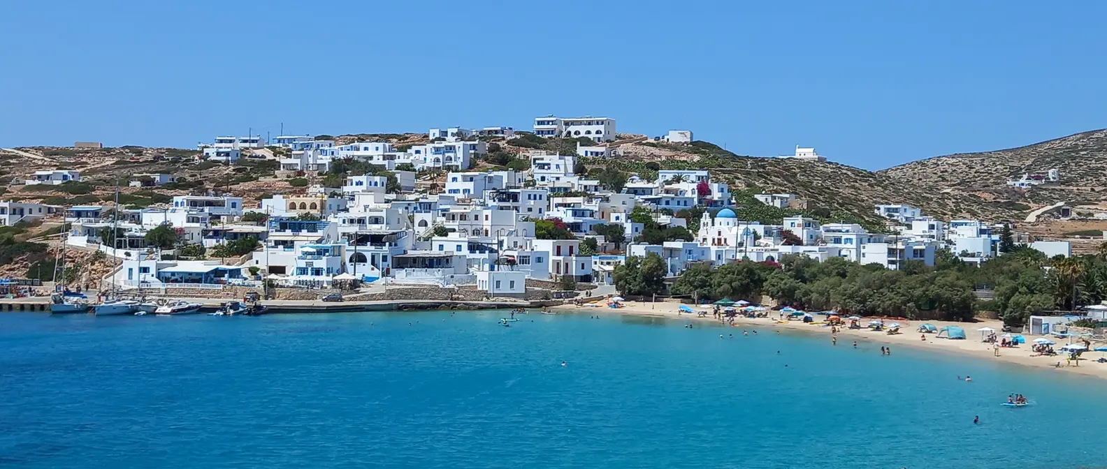
Agios Georgios is the harbour and the biggest village, in a sheltered bay with fishing boats and sailing boats. Here you will find most of the rooms, a few tavernas, a café and a mini market. Next to the harbour is a small sandy beach with shallow water, and in the evening the pier is the place to watch the sunset.
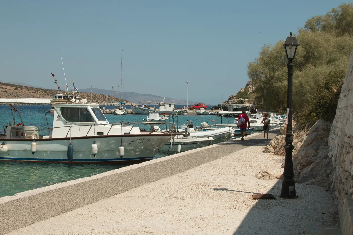
Agios Georgios.
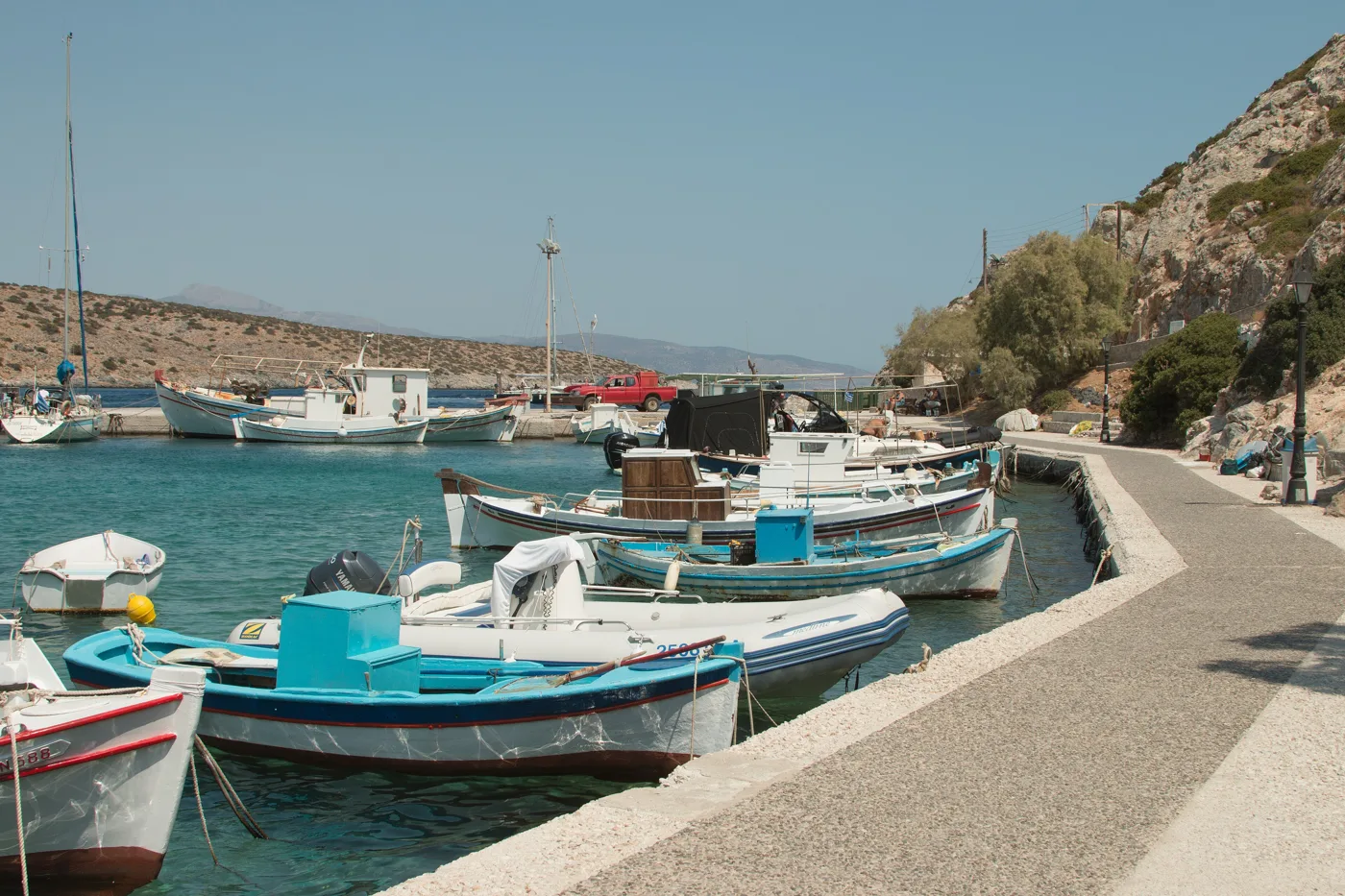
The island’s fishermen.
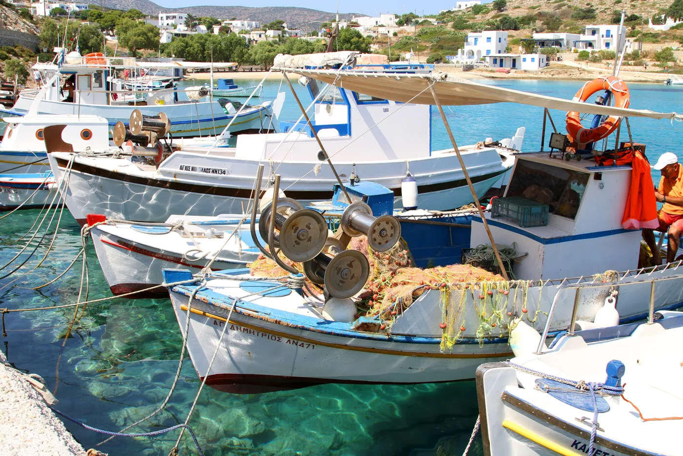
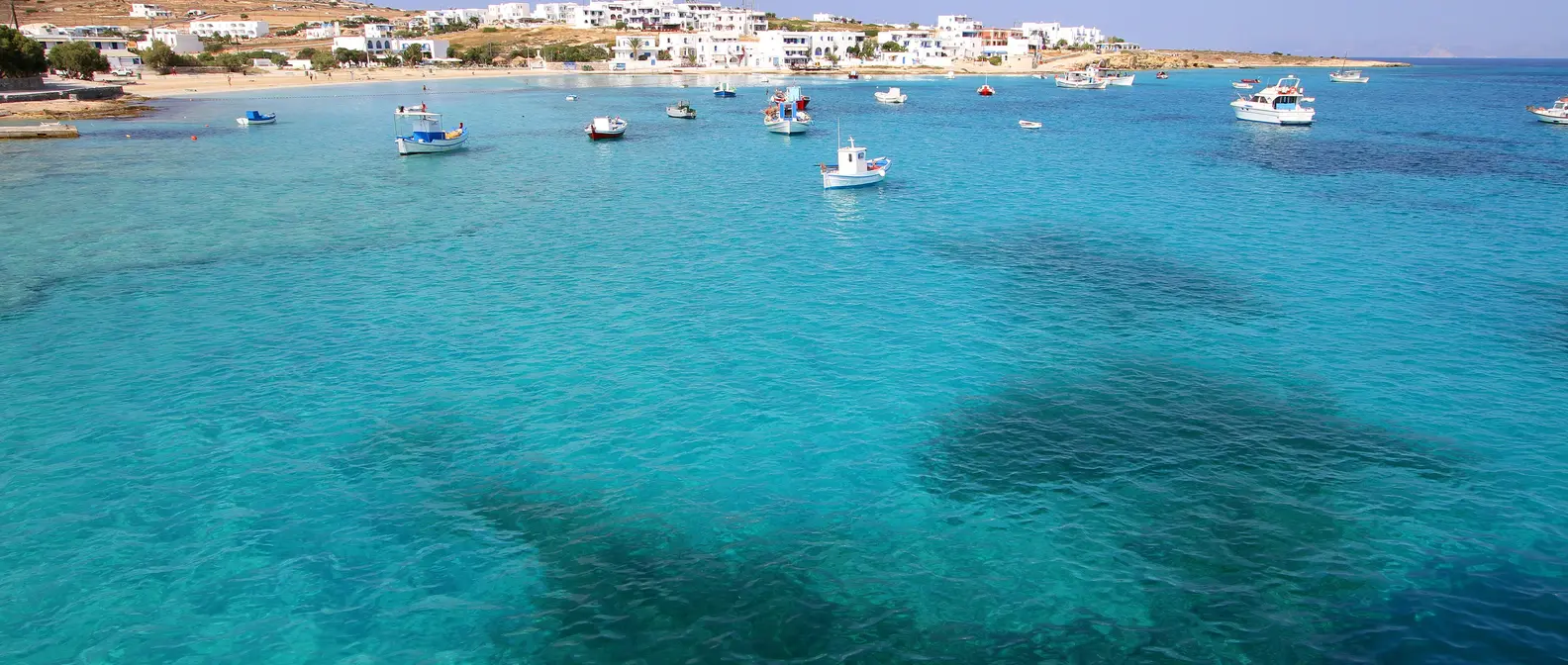
Clear water in the harbour.
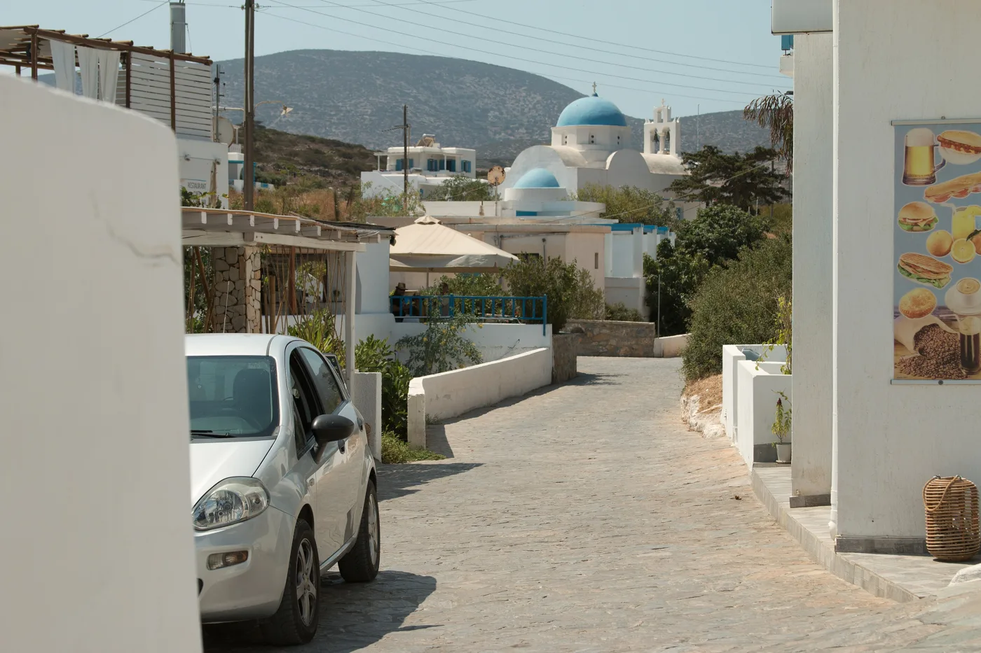
The heart of the village.
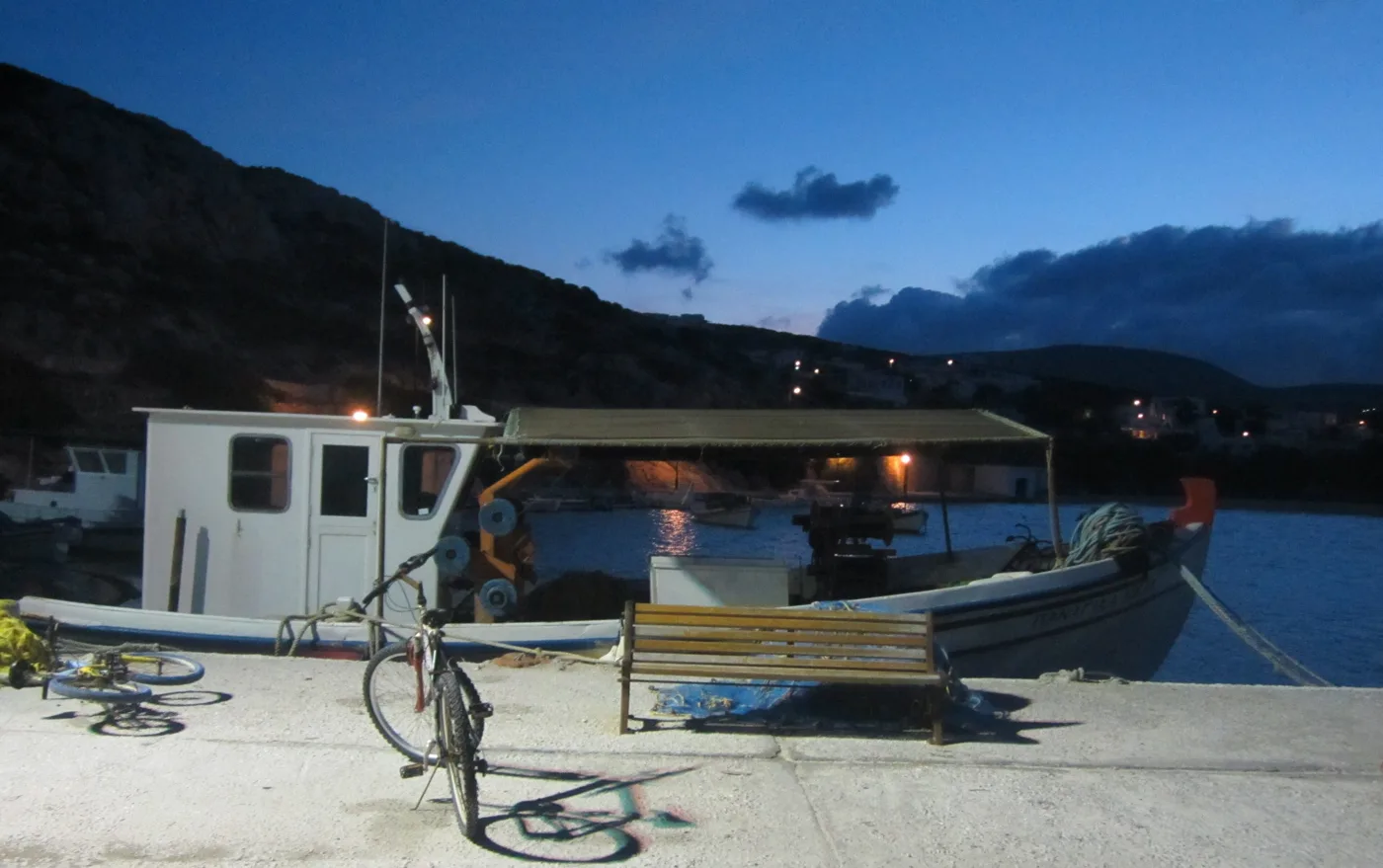
A quiet evening on the pier.
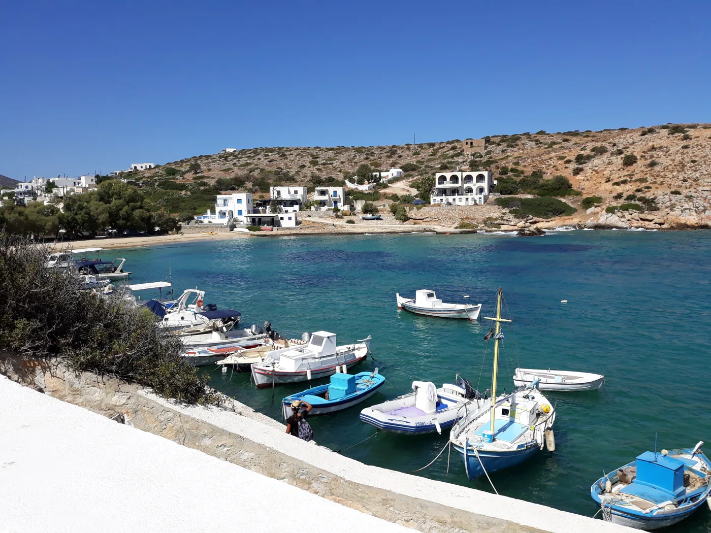
Boats on the water.
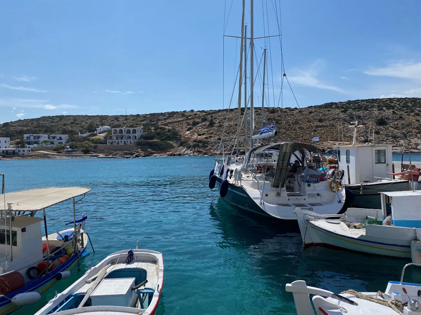
An anchorage for sailors.
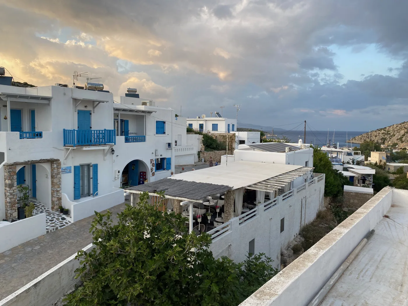
Blue and white.
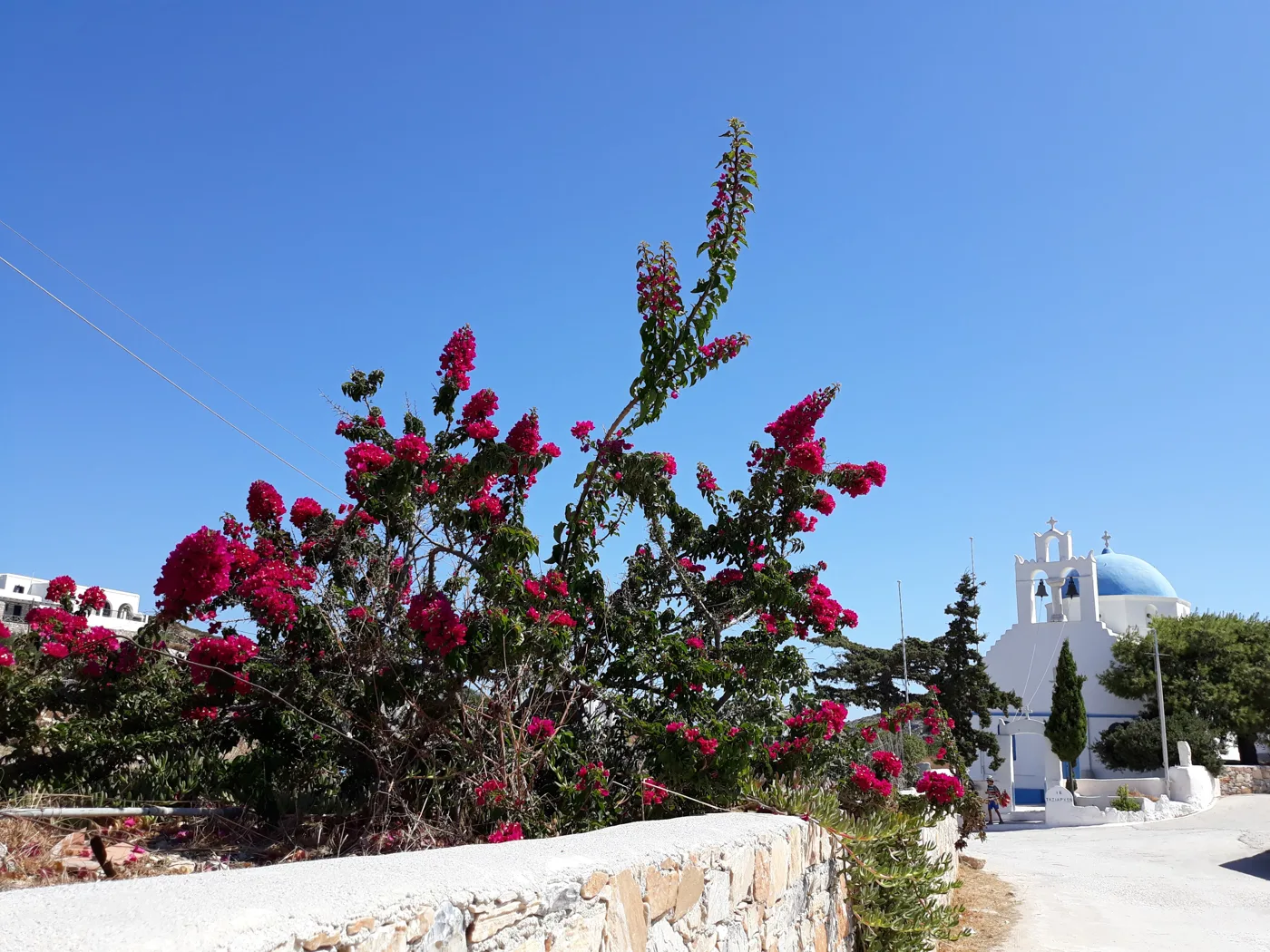
Colour in the village.
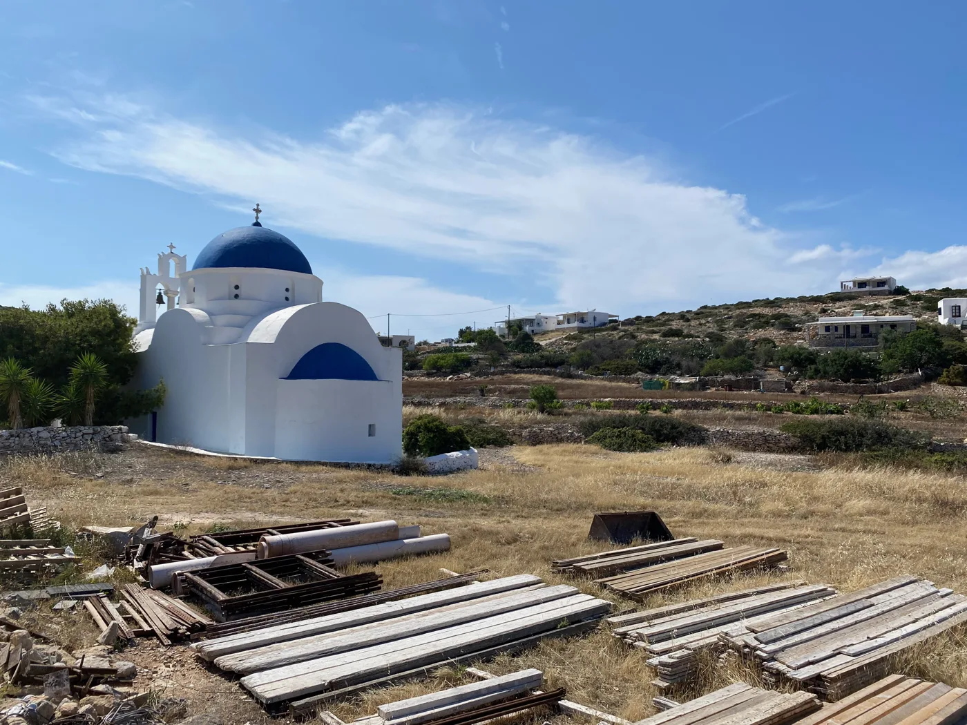
At the edge of the village.
Photos: Zde (CC BY-SA 4.0), Carlo Pelagalli (CC BY-SA 3.0), katcharmani (CC0), XristinaMnp07 (CC BY-SA 4.0), Sgroey (CC BY-SA 4.0) · Wikimedia Commons
🏖️ The beaches and the Kastro
The biggest beach is Livadi, a long sandy beach with shallow turquoise water, a 20-minute walk from the harbour. Above it, on the hill, are the ruins of a castle, with views of Venetiko and Schinoussa. In the south-west, Alimia is a deep bay where, in a few metres of water, lies the wreck of a Second World War plane. Karvounolakos and Vorini Spilia are reached on foot or by small boat.
- Livadi: the biggest sandy beach, with shallow water.
- Agios Georgios: small sandy beach next to the harbour.
- Alimia: deep bay with a plane wreck for snorkelling.
- Karvounolakos: wild cove in the south, reached on foot.
- Vorini Spilia: quiet cove on the north coast.
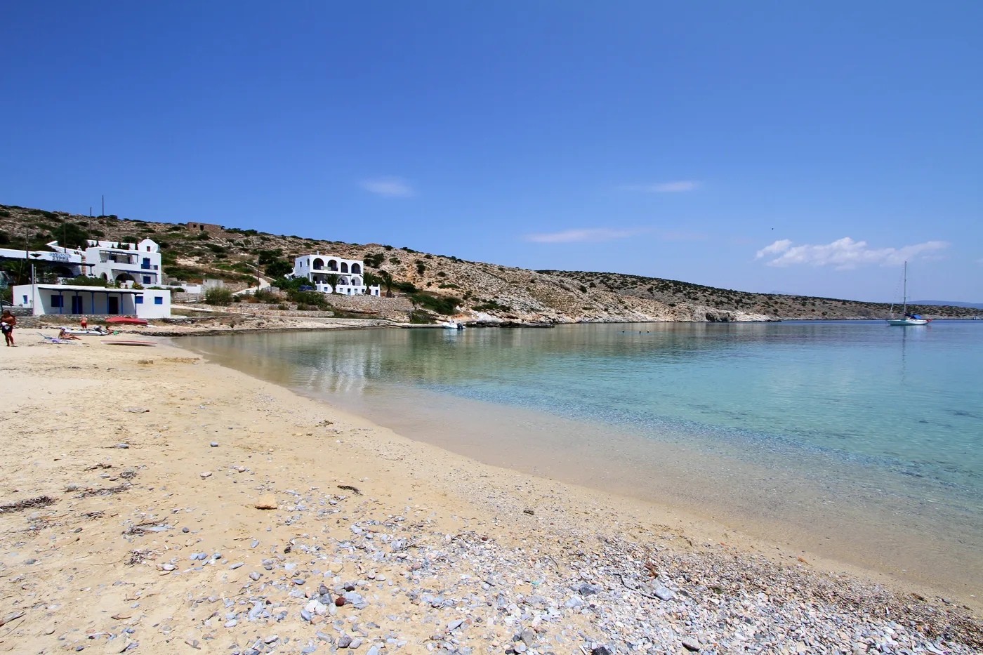
Next to the village.
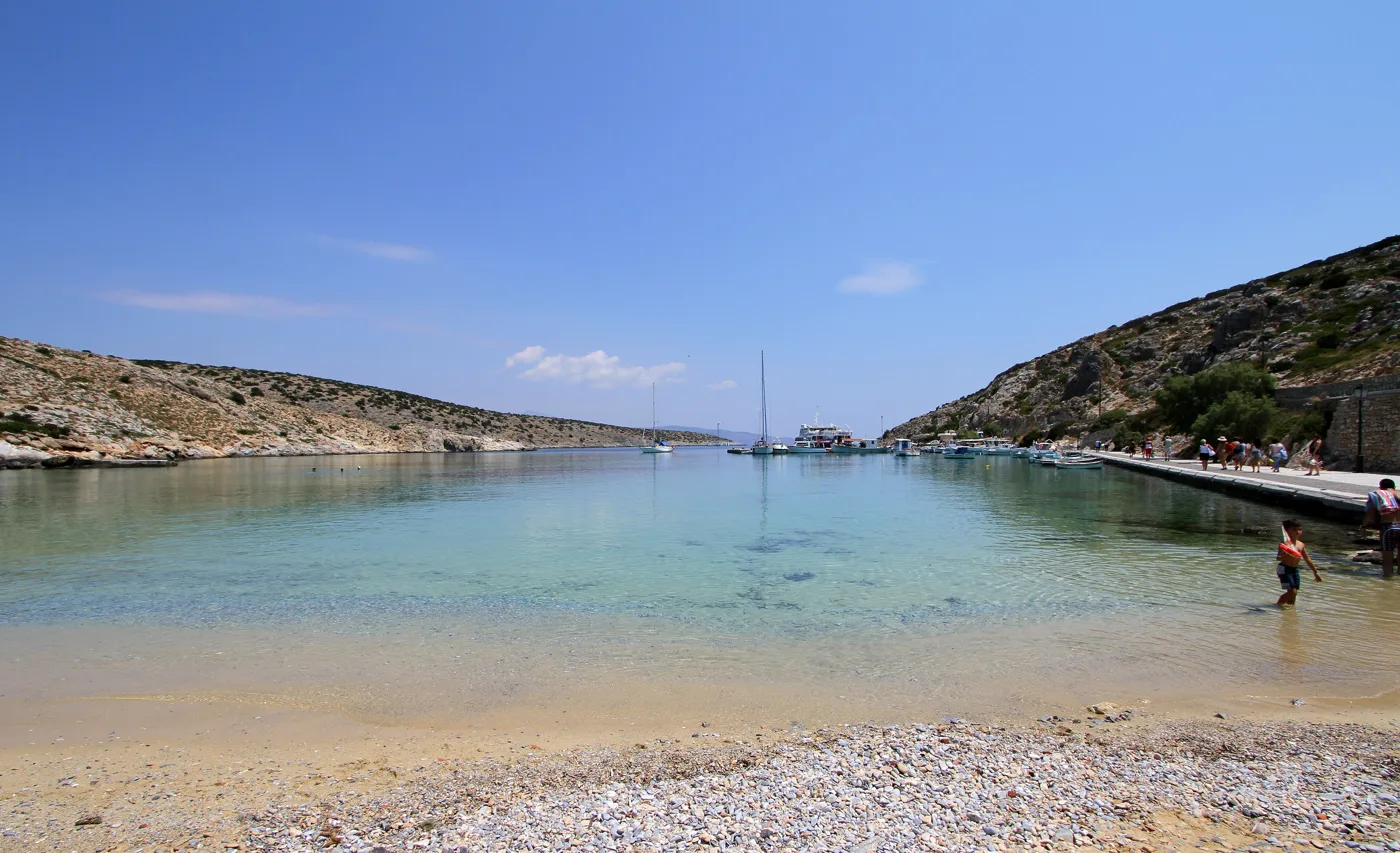
Ideal for children.
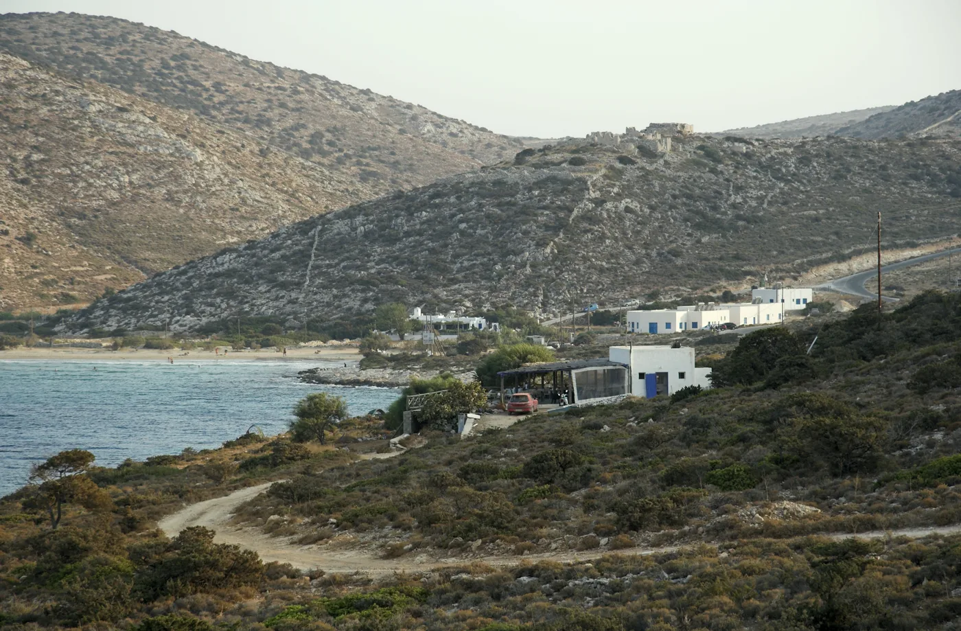
The biggest sandy beach.
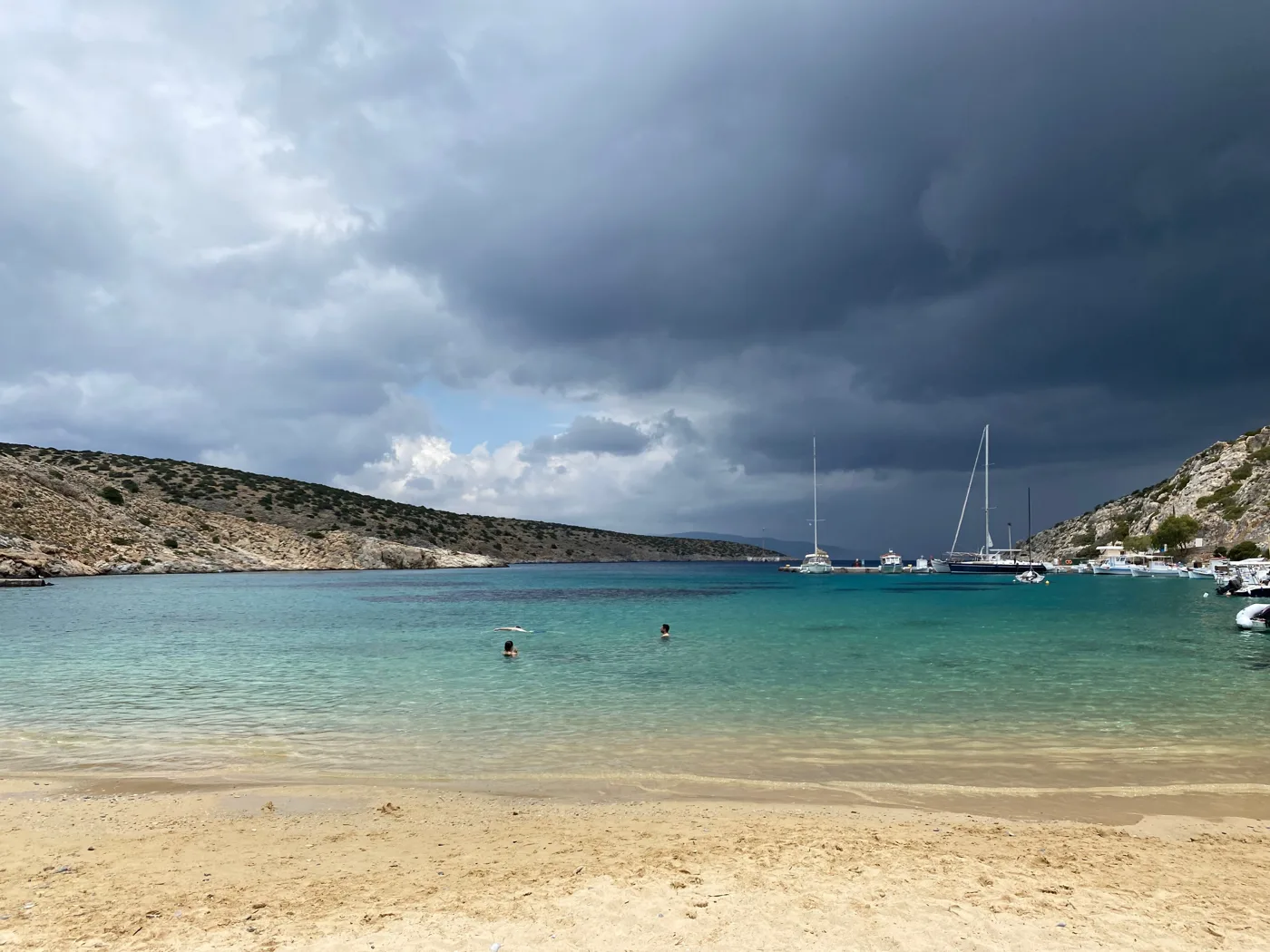
Turquoise far out.
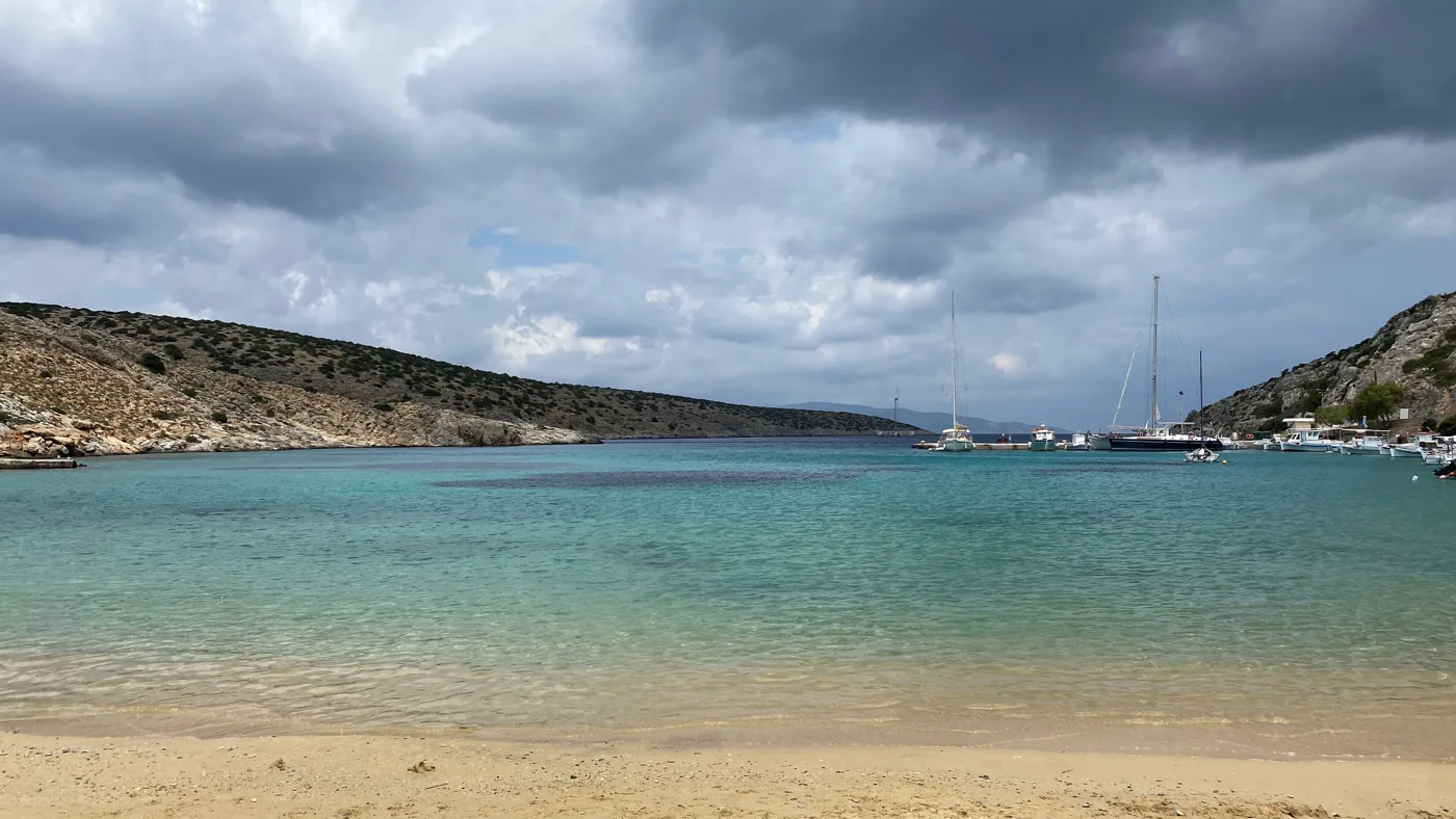
Calm water.
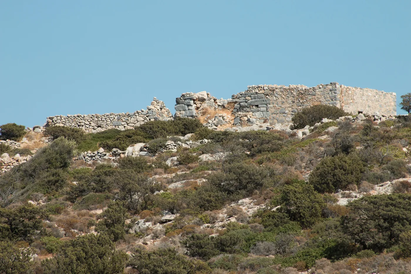
Above Livadi.
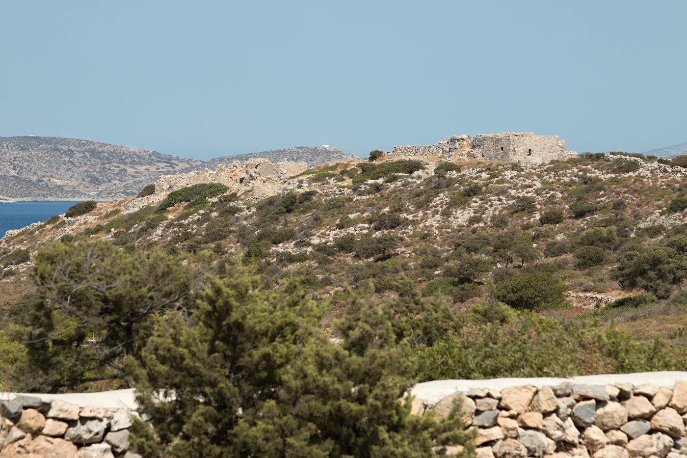
Ancient stones.
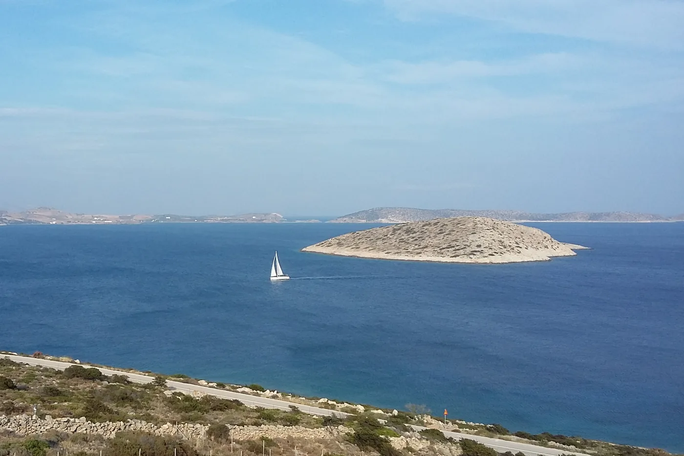
The islet opposite.
Photos: Carlo Pelagalli (CC BY-SA 3.0), Zde (CC BY-SA 3.0), Sgroey (CC BY-SA 4.0), Zde (CC BY-SA 4.0), Dbebaw (CC BY-SA 3.0 de) · Wikimedia Commons
⛪ Panagia
Higher up, in the middle of the island, the village of Panagia is a few houses around the church of the Virgin Mary, with a palm tree in the courtyard. From here footpaths lead to the cave and to Papas, the highest peak in the Small Cyclades, with views over all the surrounding islands. In August, on the feast of the Virgin, the island’s big festival takes place.
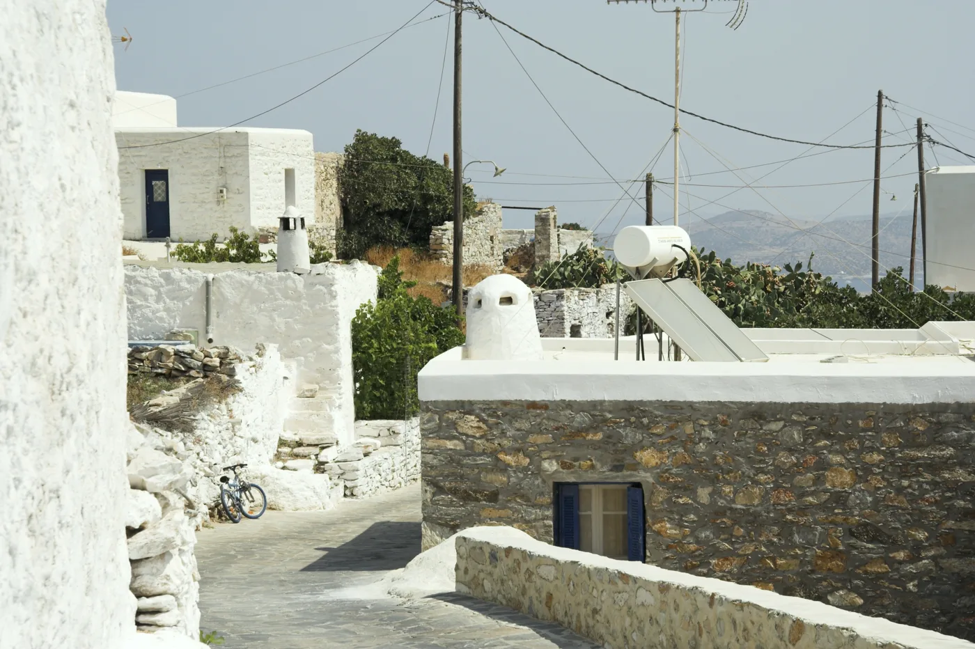
The mountain village.
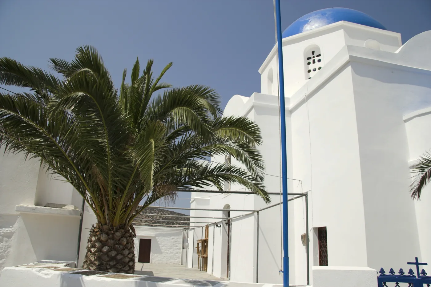
The village church.
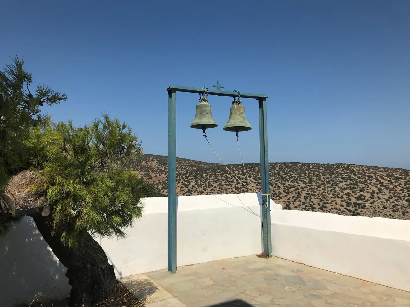
A view over the island.
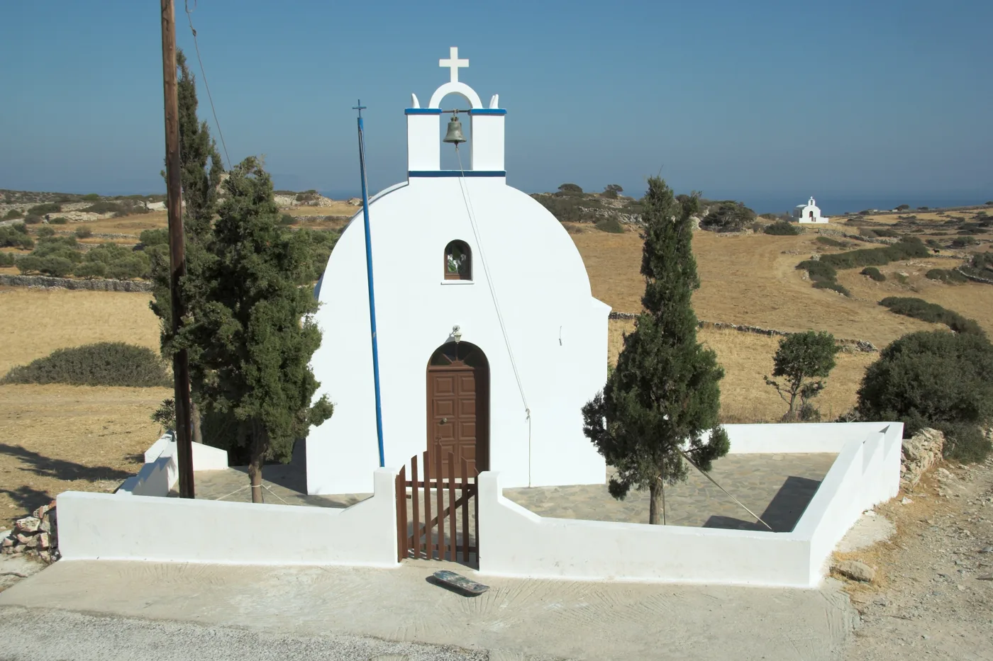
Below the village.
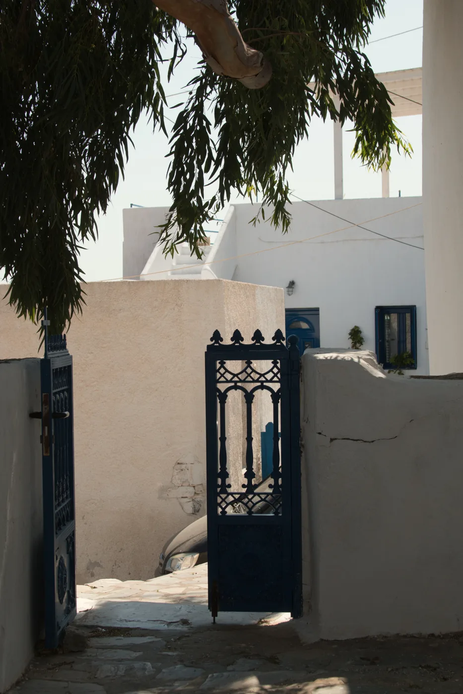
A quiet lane.
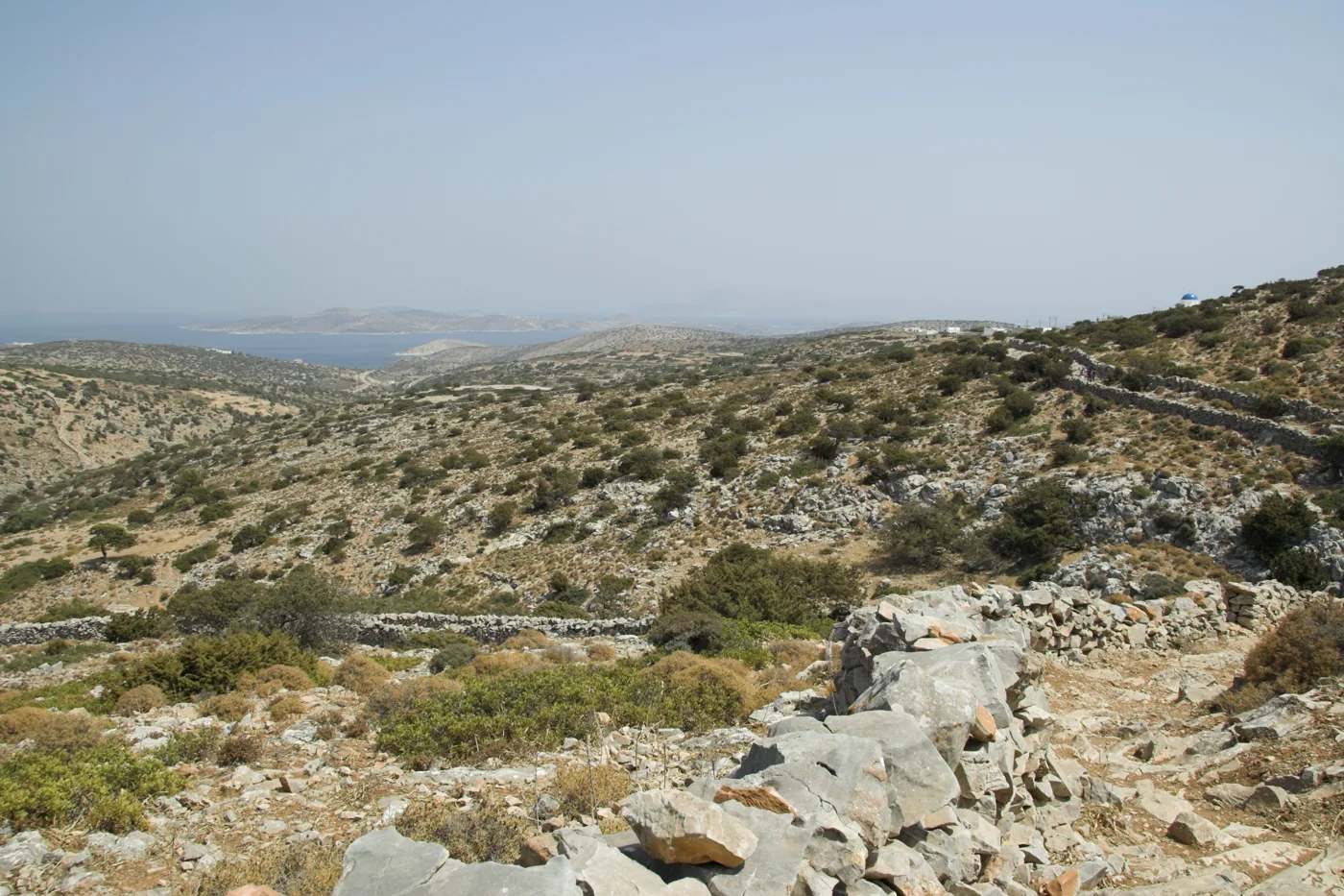
The Small Cyclades all around.
Photos: Zde (CC BY-SA 3.0), Zde (CC BY-SA 4.0) · Wikimedia Commons
🦇 The footpaths and the Cave of Agios Ioannis
The Cave of Agios Ioannis is one of the largest in the Cyclades, with stalactites and stalagmites in several chambers. You reach it on a footpath from Panagia in about an hour and a half, and enter through a narrow opening. At the entrance there is a small shrine, and on the saint’s feast day, at the end of August, the islanders climb up for a candlelit service inside the cave. Nearby is the smaller cave of the Cyclops.
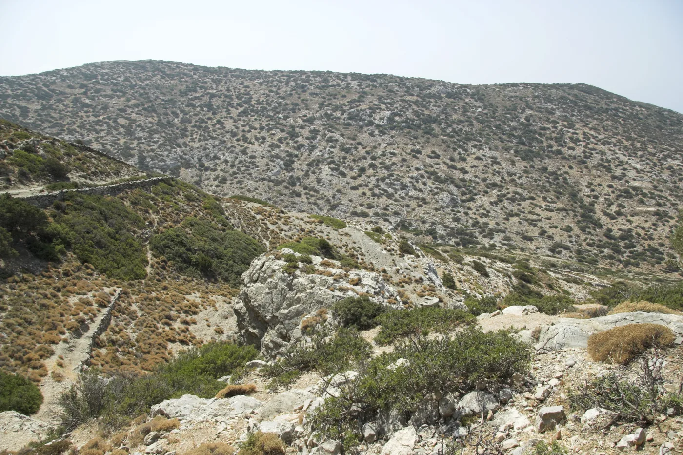
Towards the cave.
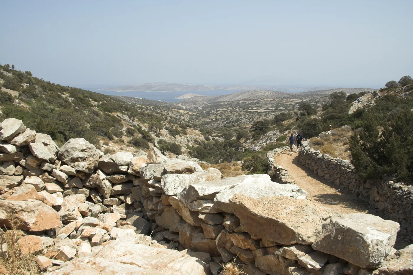
Dry-stone walls and views.
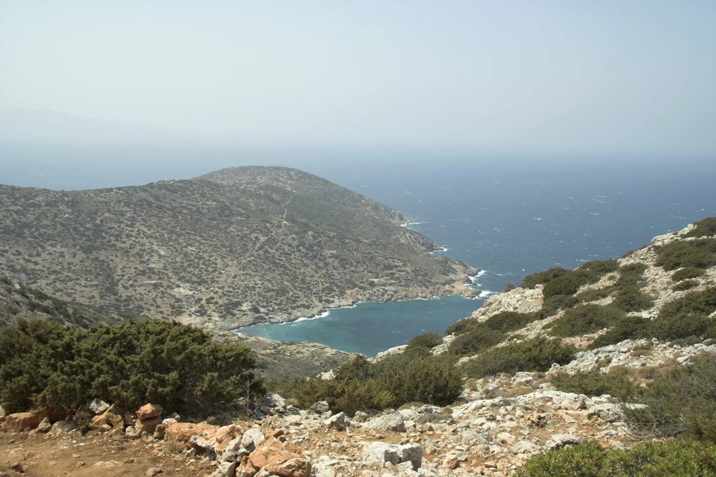
The view from the path.
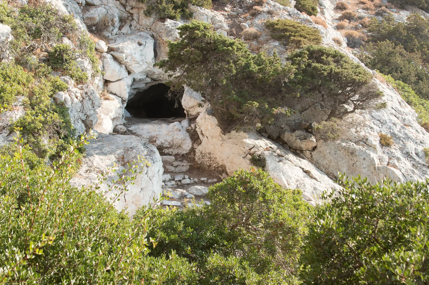
The entrance.
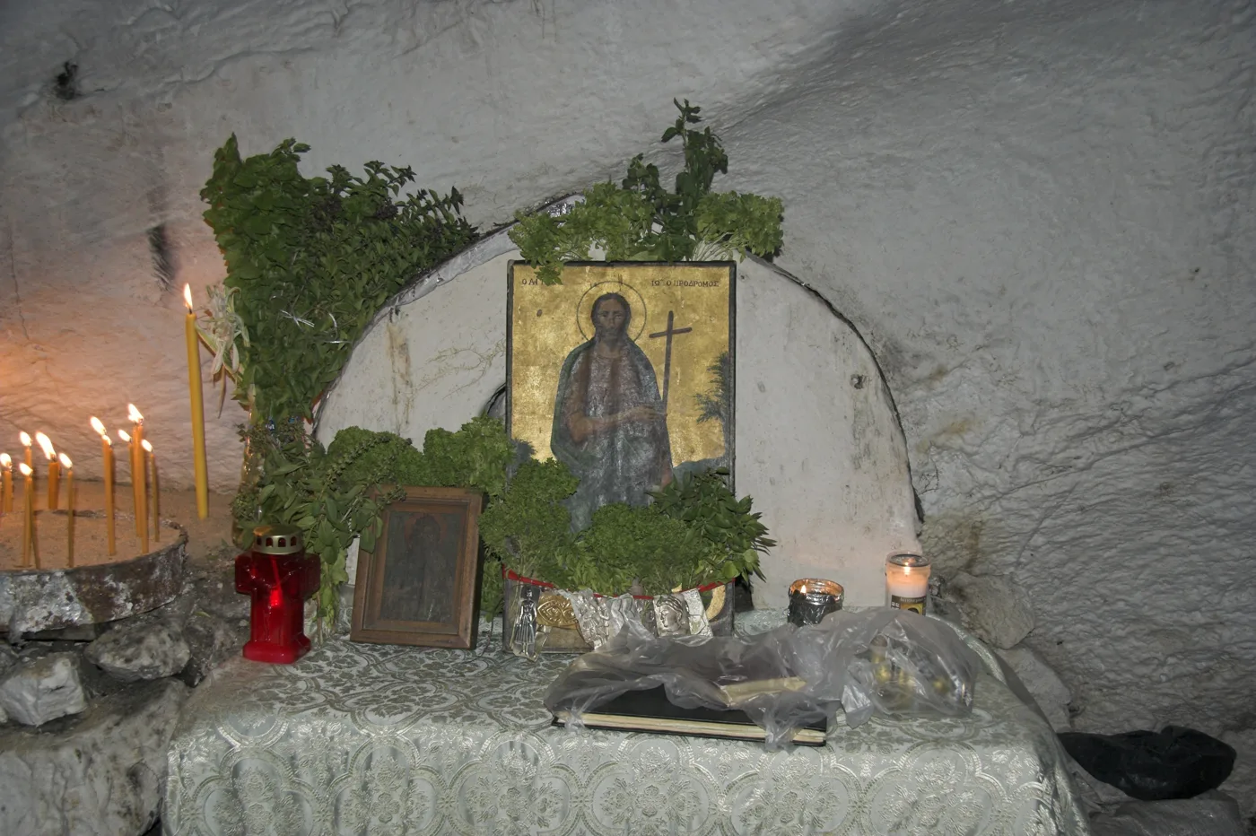
Saint John.
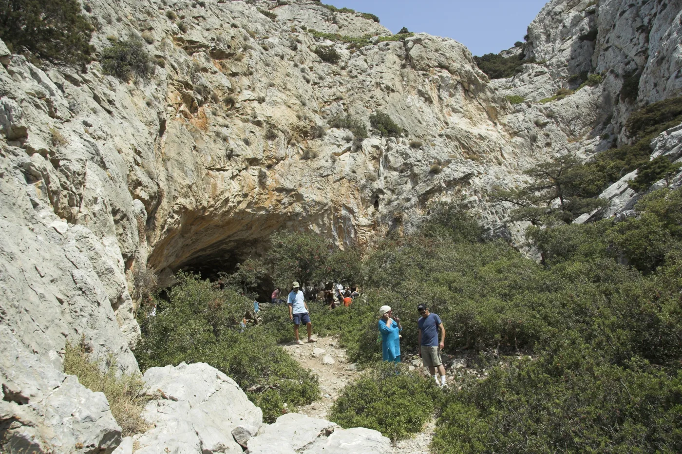
Another cave.
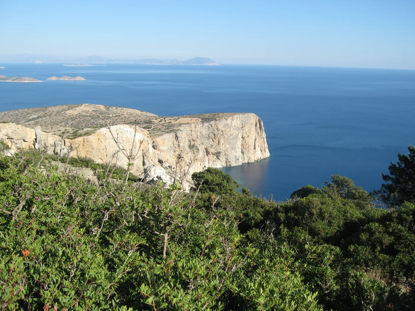
The wild coast.
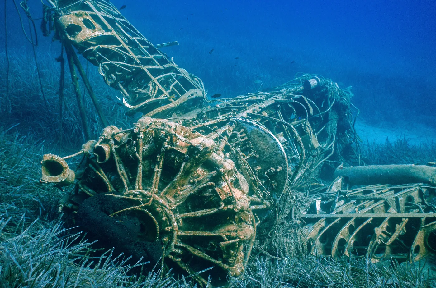
On the seabed at Alimia.
Photos: Zde (CC BY-SA 3.0), Zde (CC BY-SA 4.0), Asynodinou (GFDL), Paolo Gamba (CC BY 2.0) · Wikimedia Commons
Take a torch, good shoes and water, as it is dark and slippery inside. The entrance is narrow and you need to crouch. Never go in alone, and tell someone in the village before you set off.
🍽️ What to eat
The few tavernas at the harbour and in Panagia serve home cooking: fresh fish, kid goat, fava and local cheese. Try the local honey and spoon sweets, and an ouzo with a meze at the café by the harbour.
📅 When to go
June and September are the best months, with warm sea and few people. In August most visitors arrive, but the island stays quiet. In spring and October the footpaths are ideal, cool and full of flowers.
✈️ How to get there from Athens
| How | Duration | From | Notes |
|---|---|---|---|
| Ferry from Piraeus | About 6 to 8 hours | Piraeus | Via Paros and Naxos, a few sailings a week. |
| Plane and ferry | About 45 minutes to Naxos, plus 1 hour by ferry | Athens airport | Fly to Naxos and take a ferry to Iraklia. |
From Ioulianou 50, Piraeus is about 40 minutes by metro and the airport one hour on Line 3. Check the timetables in advance, as ferries are few. On the island, in summer, a small bus links the harbour with Livadi and Panagia, and you do the rest on foot. Iraklia is easy to combine with neighbouring Schinoussa: read our guide to Schinoussa.
🗓️ Three days on Iraklia
Agios Georgios and Livadi
A swim at the beach next to the harbour, then a 20-minute walk to Livadi. Climb up to the ruins of the Kastro for the view and come back for dinner at the harbour.
Panagia and the cave
Set off early for Panagia and continue on the footpath to the Cave of Agios Ioannis, about an hour and a half away. Take a torch, water and good shoes, and come back for a meal at the taverna in Panagia.
Alimia and around the island
Walk or take the small boat to Alimia, for a swim and snorkelling over the plane wreck. In the afternoon, watch the sunset from the pier at the harbour.
Frequently asked questions
Do I need a car on Iraklia?
No. The island is small, in summer a small bus goes to Livadi and Panagia, and the footpaths take you everywhere. There are very few cars on the island.
Where should I stay on Iraklia?
In Agios Georgios, so you are next to the harbour, the tavernas and the beach. Near Livadi, if you want to wake up by the long sandy beach.
Is the hike to the cave difficult?
It is moderate: about an hour and a half from Panagia, with ups and downs on a stony path. With good shoes and water, any walker of average fitness can manage it.
How many days do I need?
Three days are enough for Livadi, the cave and Alimia. A week if you want to walk all the footpaths.
— Kathy