🪪 The island at a glance
📍 Where it is
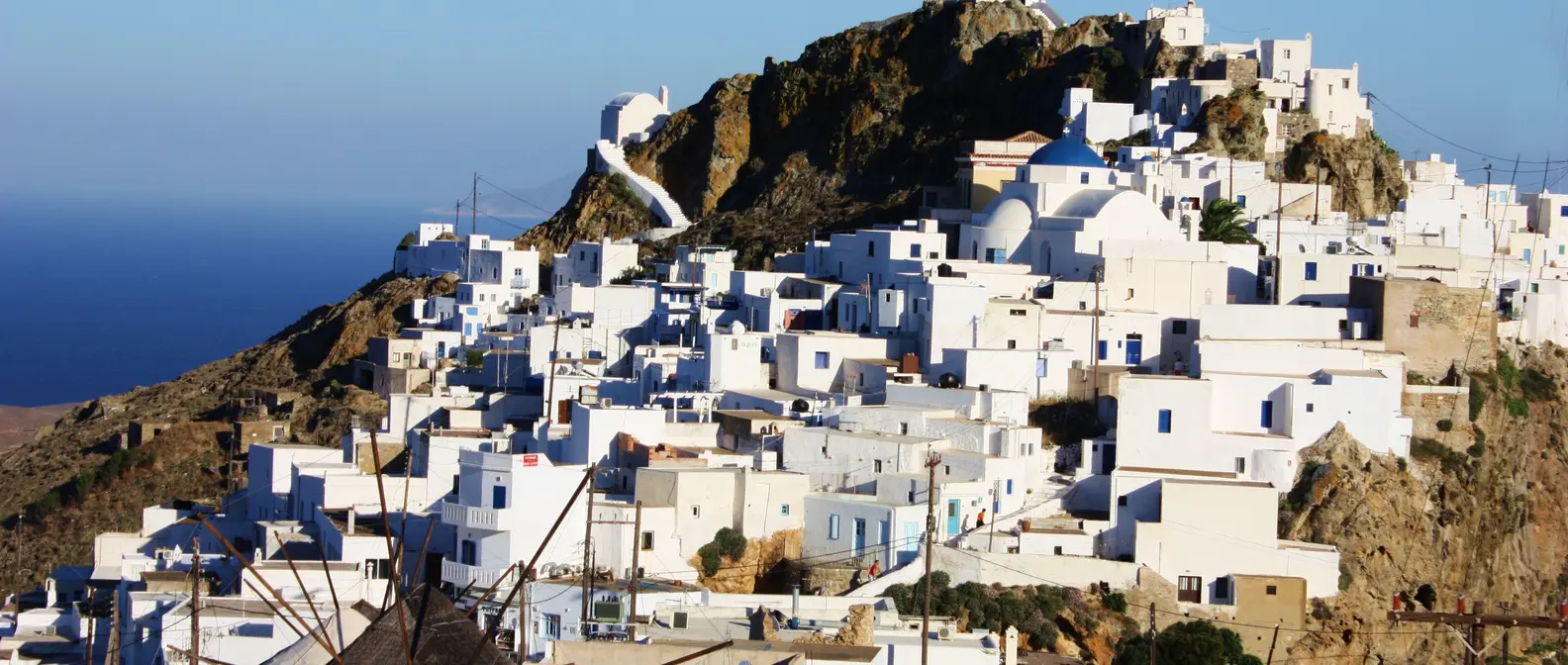
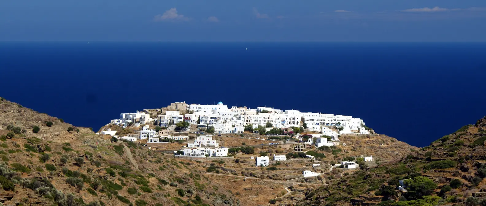
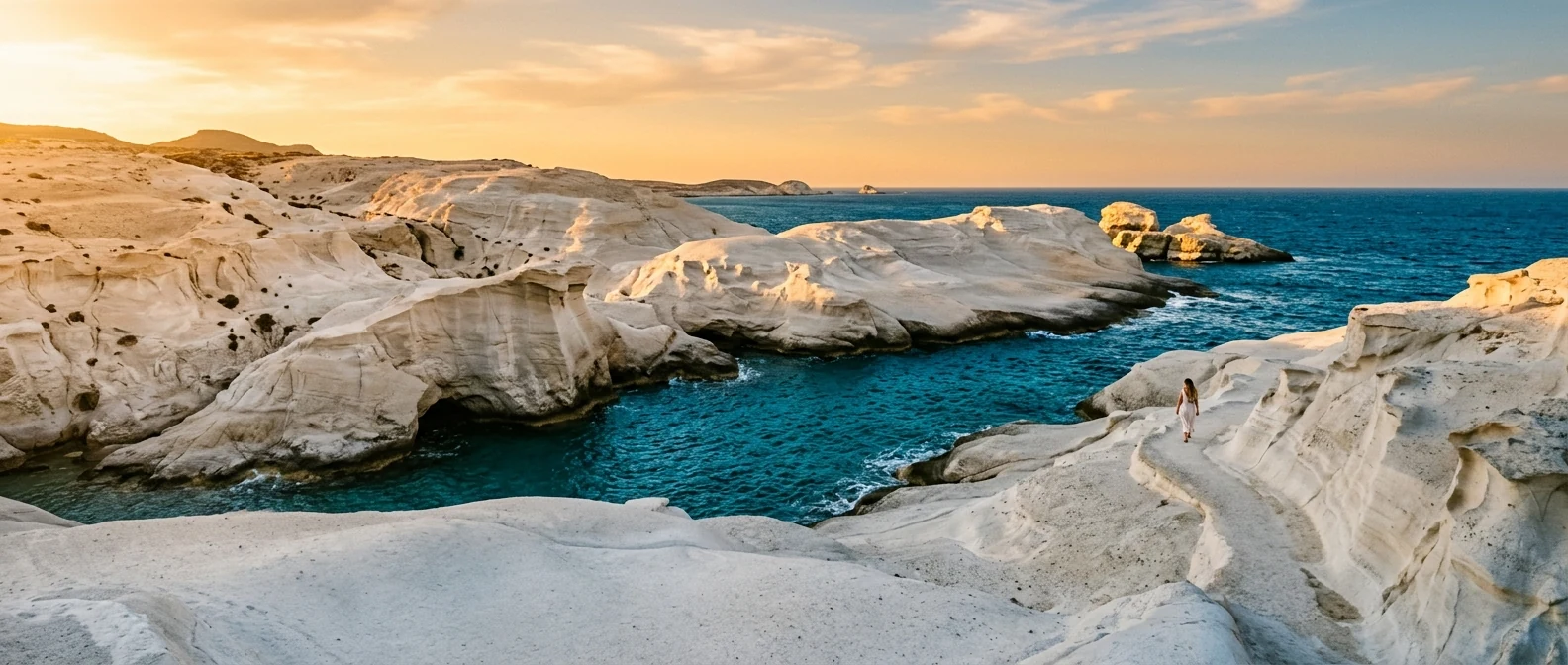
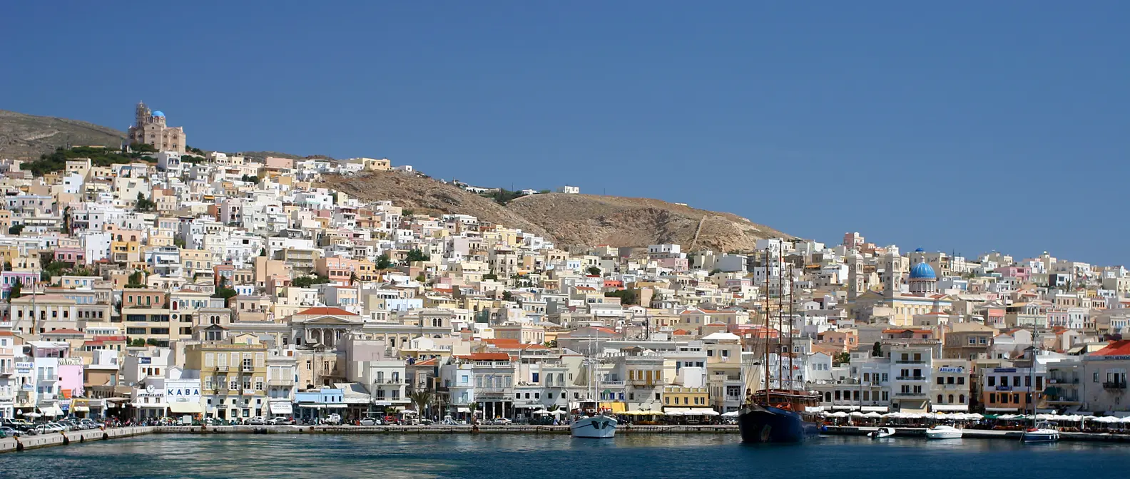
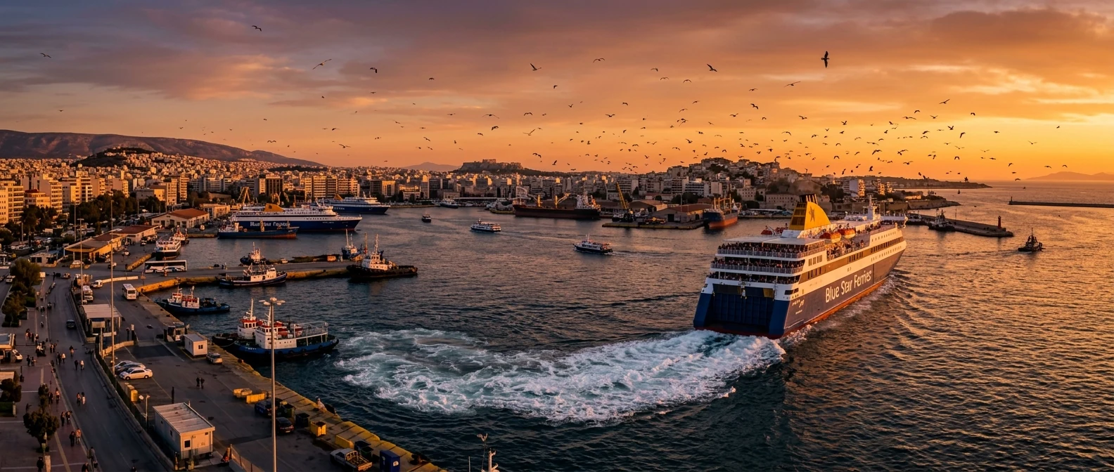
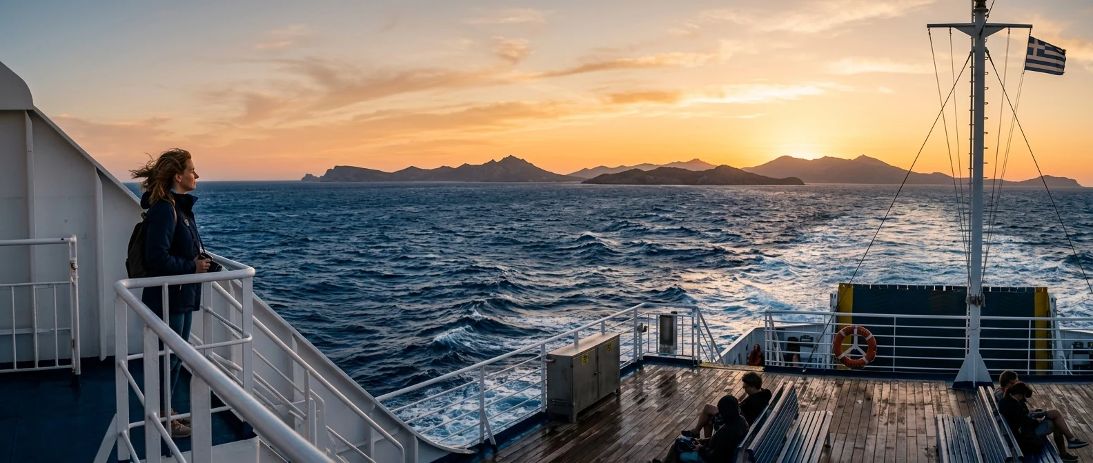
Kythnos lies in the western Cyclades, between Kea and Serifos, and is one of the closest islands to Athens. It has no airport, but ferries from Piraeus arrive in two to three hours, and from Lavrio in about an hour and a half. That is why it is one of the favourite destinations for a long weekend.
📍 Where Kythnos is
Kythnos is the second island of the western Cyclades after Kea, and one of the closest to Athens. The island is shown in red, and Piraeus, Lavrio and Athens airport in green.
🗺️ The map of the island
Kythnos is small, about twenty kilometres from north to south, and all roads start from Merichas, the port on the west coast. One road climbs north to Chora and continues to Loutra, and another goes south to Dryopida and on to Kanala. Kolona is north of Merichas, by dirt road or by boat. Distances are short: from one end to the other takes about half an hour.
🗺️ Map of Kythnos
Merichas, the port, is on the west coast, with Kolona a little to the north. Chora is in the middle of the island, and Dryopida a little further south. In the north are Loutra and the Castle of Oria, and in the south Kanala. Tap each number to see what it is.
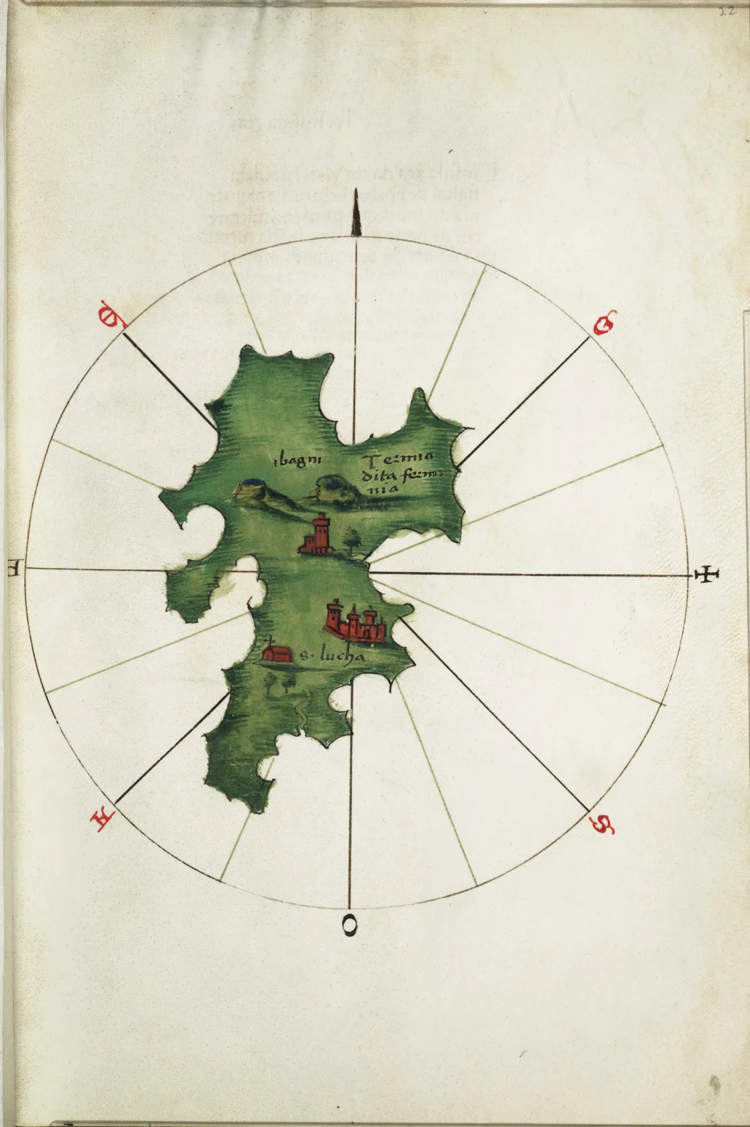
Map: Bartolommeo dalli Sonetti, 1485 (Public domain) · Wikimedia Commons
⚖️ Is it worth it? The pros and cons
Kythnos is an island for people who want beaches, peace and authentic villages close to Athens. Here is an honest picture.
📊 At a glance, from 1 to 5
👍 The pros
- Close to Athens, ideal even for a long weekend.
- Kolona, one of the most unusual beaches in Greece.
- Over 60 beaches, many without crowds.
- Two authentic villages, with no mass tourism.
- Hot springs that flow into the sea.
👎 The cons
- Dry landscape, with little greenery.
- The meltemi blows hard in July and August.
- Few buses, you need a vehicle.
- Summer weekends fill up with Athenians.
🏖️ Kolona
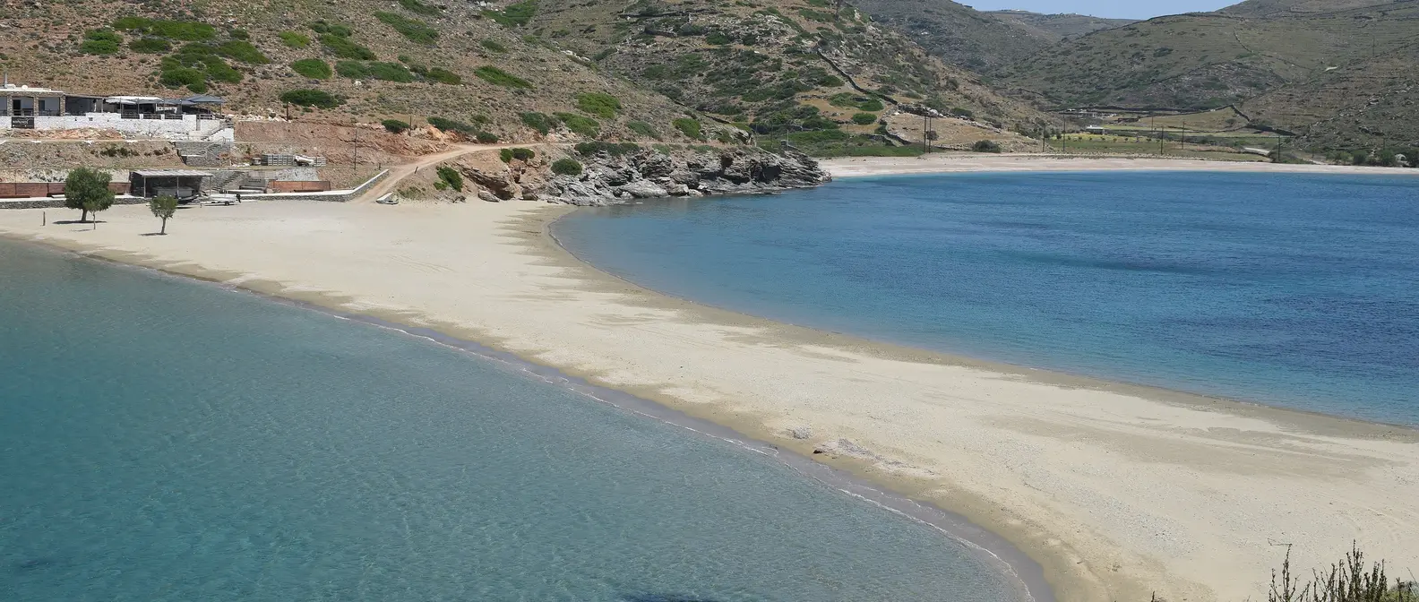
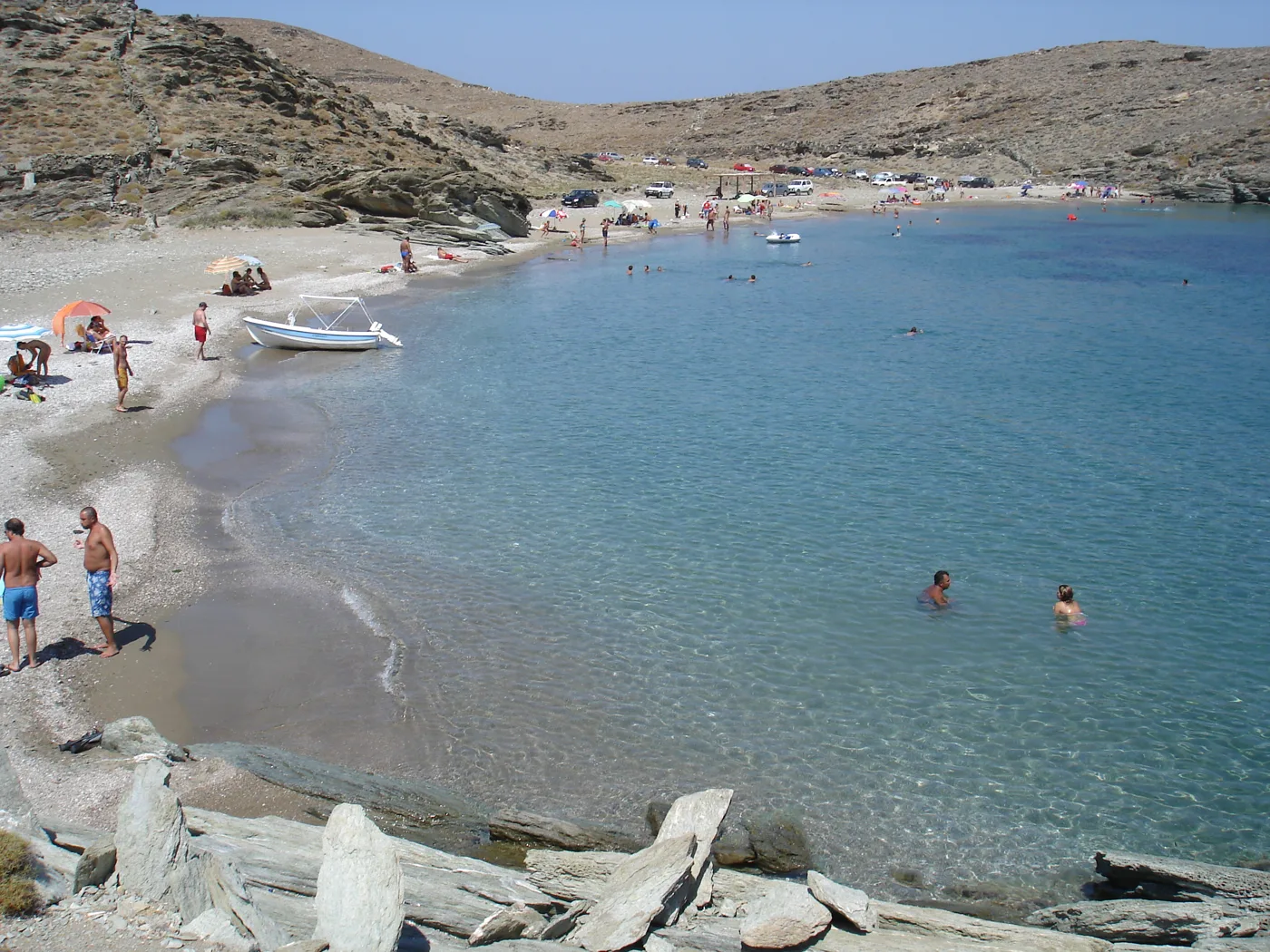
Kolona is the reason many people come to Kythnos. It is a tombolo, a thin strip of sand joining Kythnos to the islet of Agios Loukas, with sea on both sides. You walk on the sand with two different bays to your left and right, both with shallow, turquoise water. On the islet there is a little church and ancient ruins.
You get there by dirt road from Merichas, leaving the car up on the hill and walking down in about fifteen minutes, or by the boat that leaves the harbour in summer. There are no sunbeds, no shade and no shop. Take water, food and an umbrella. In August it fills with boats anchoring in the bay, so go early in the morning. Next to it, Apokrousi and Fykiada are quieter.
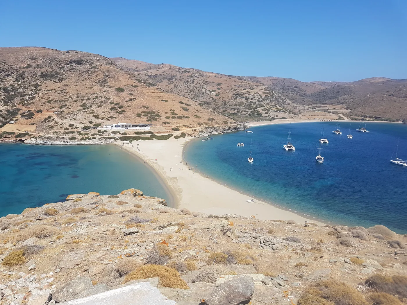
Two seas, separated by a strip of sand.
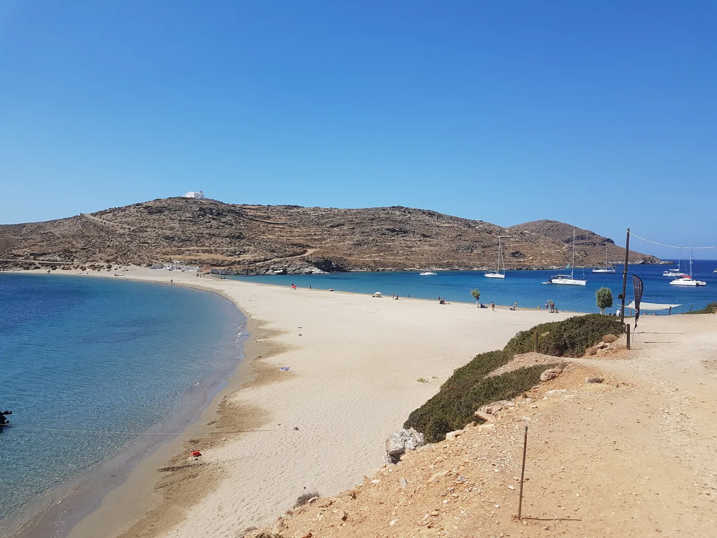
You walk between two seas.
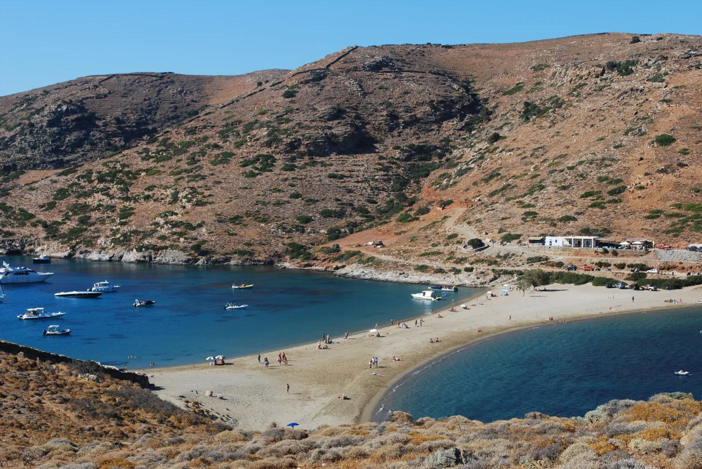
An anchorage for boats.
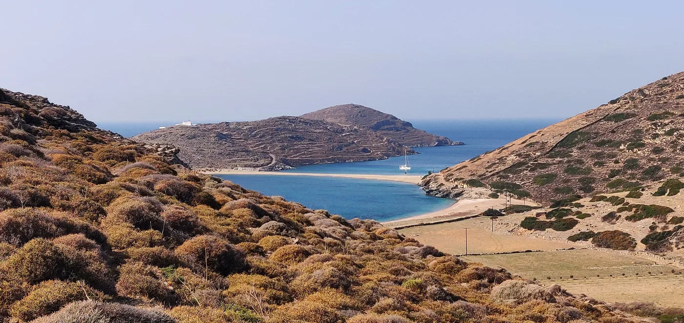
The path down to the beach.
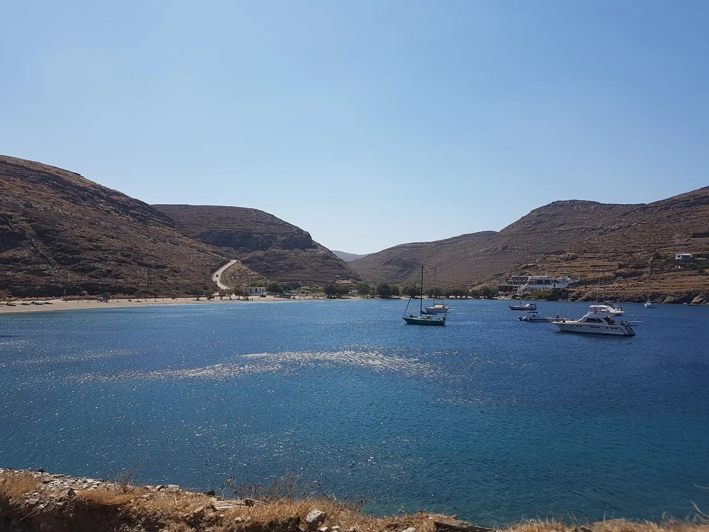
A quiet bay, next to Kolona.
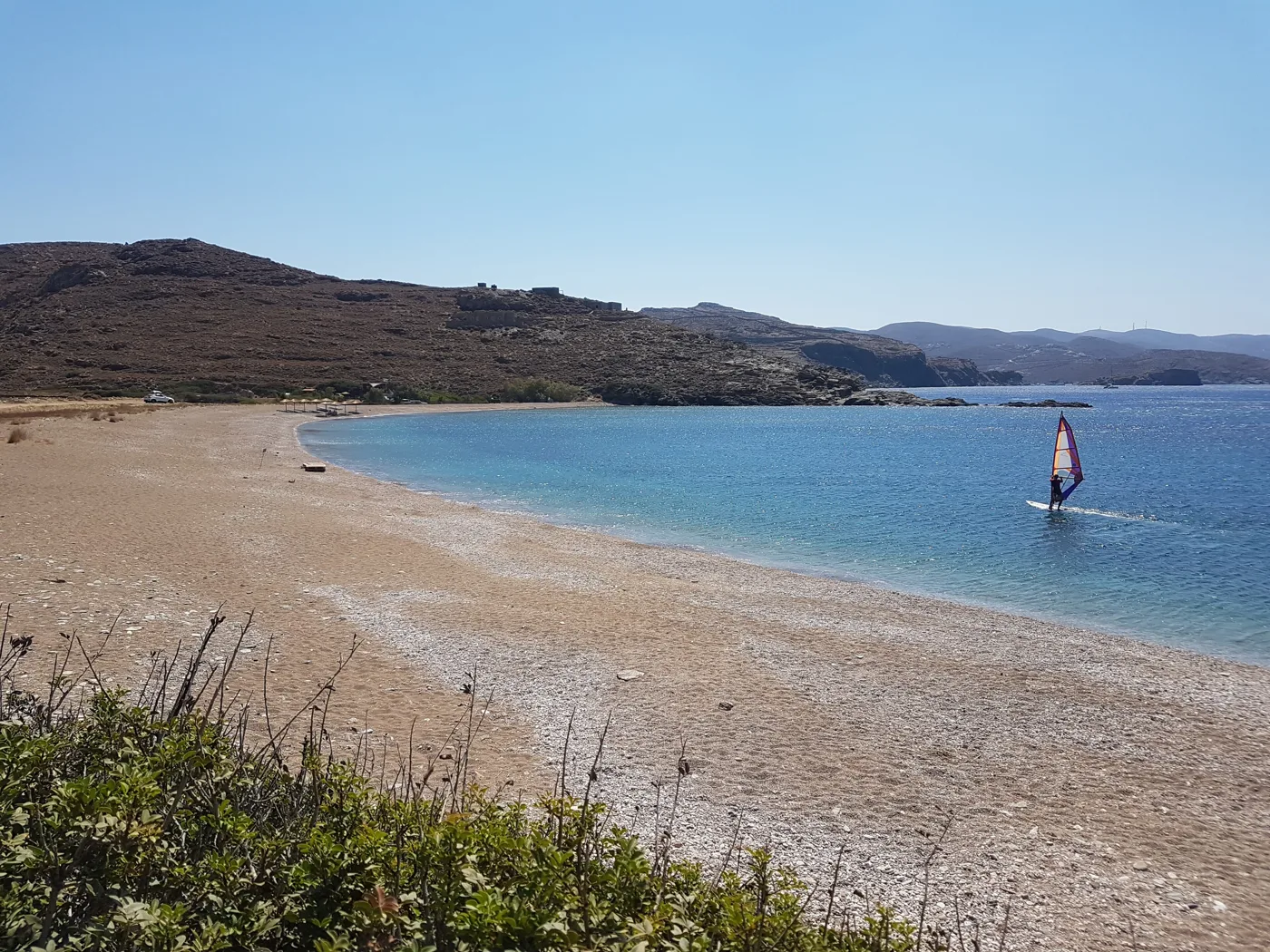
On the other side of Kolona.
Photos: FocalPoint (CC BY-SA 4.0), Roman klementschitz (CC BY-SA 3.0), Georgekpl (CC BY-SA 4.0) · Wikimedia Commons
In summer, caiques leave Merichas in the morning for Kolona and come back in the afternoon. It is the easiest way, with no dirt road or steep walk, and you see the coast from the sea. Ask at the harbour for the times.
🏘️ Chora
The Chora, which the locals also call Messaria, is the capital, in the middle of the island. It is an unpretentious Cycladic village: a long paved street with whitewashed houses, churches, bakeries and cafés, and narrow lanes with arches around it. It is quiet in the morning and fills up in the evening, with tables in the courtyards and on the street. At the edge of the village, the old windmills look out over both seas.
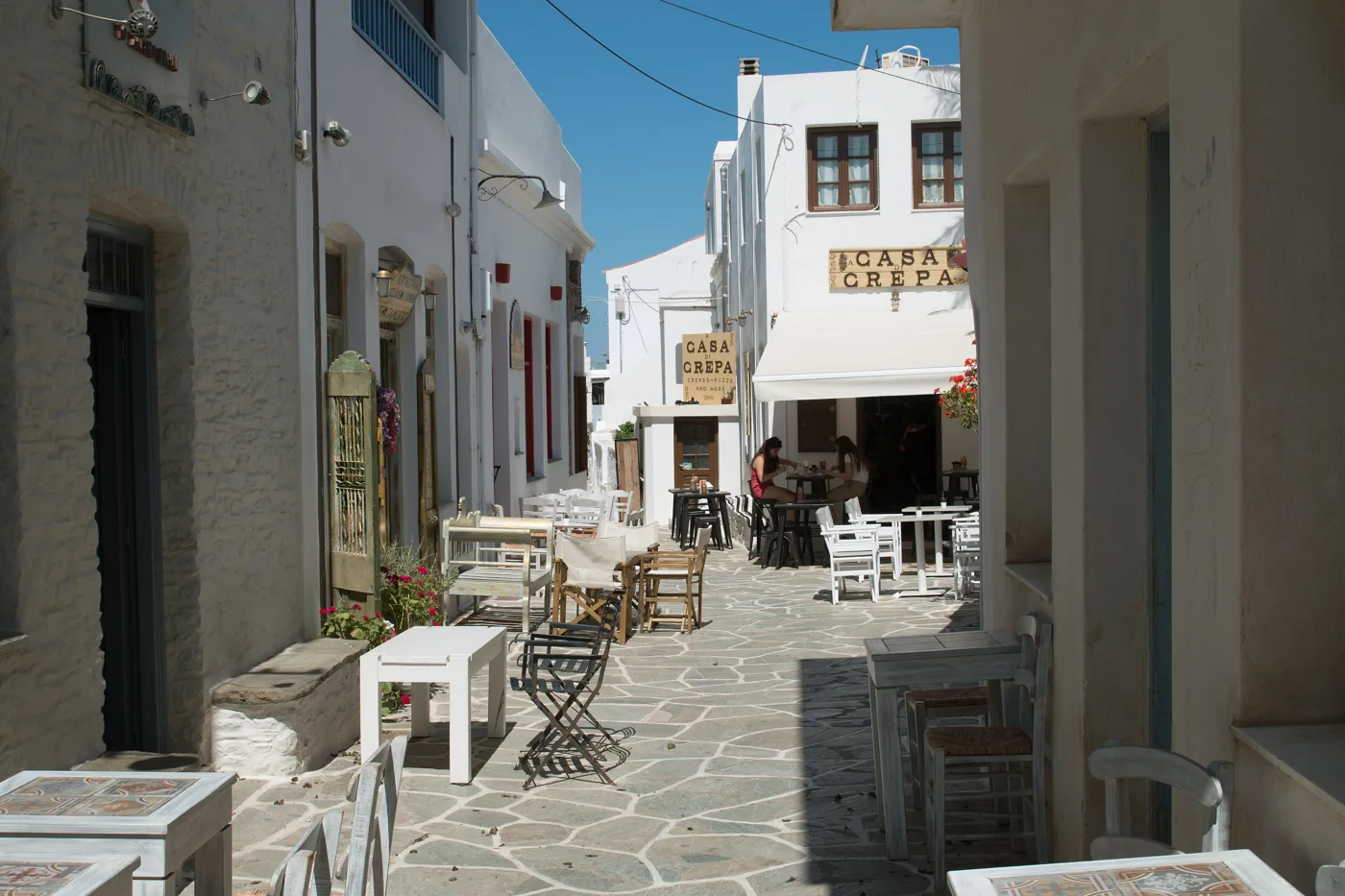
The main street, with the shops.
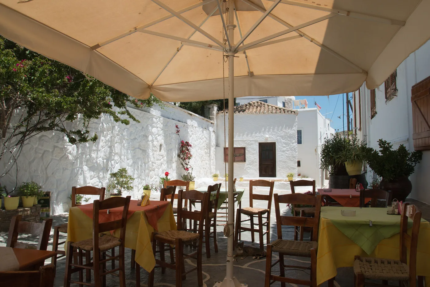
Food under the umbrellas.
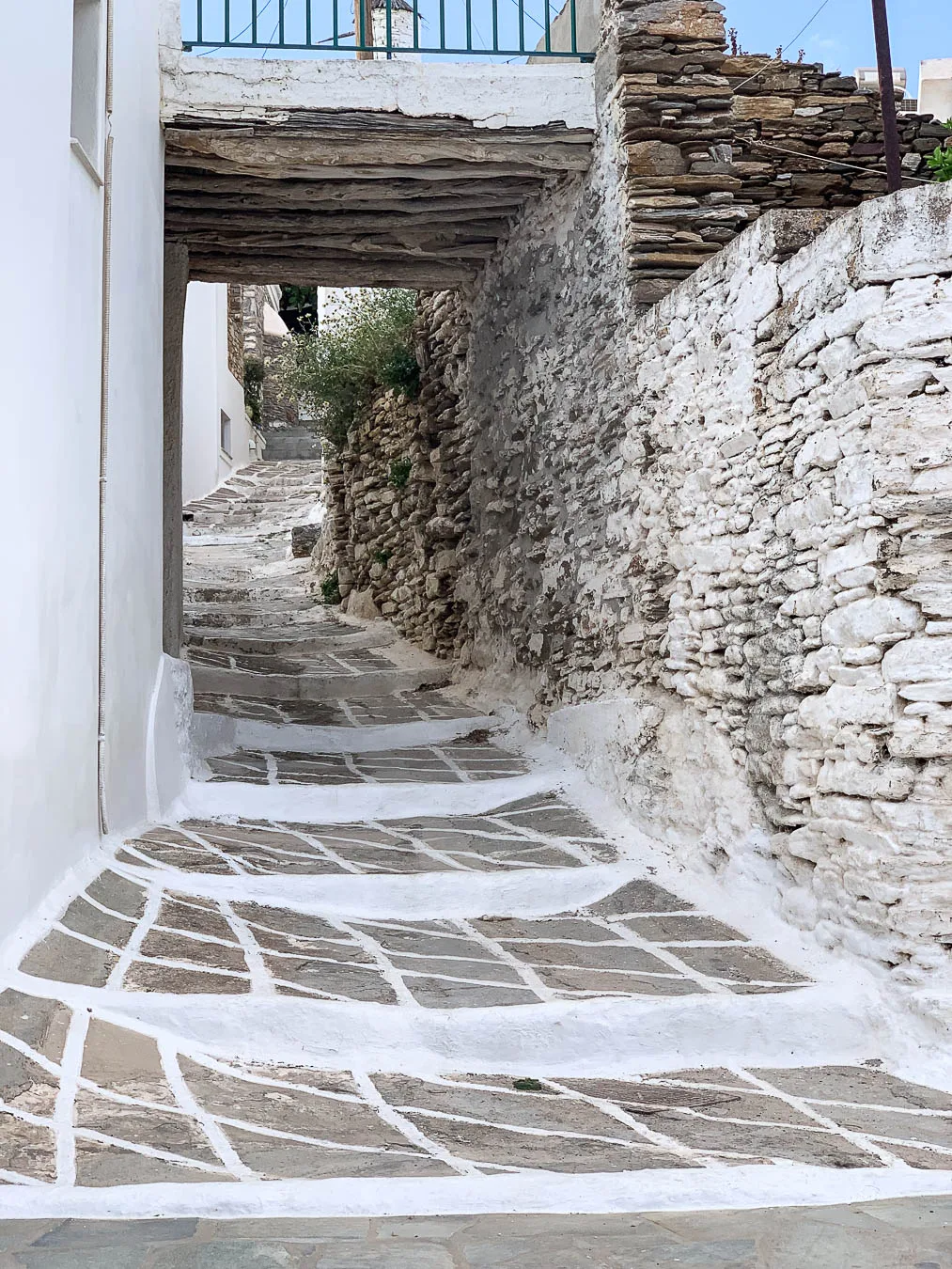
Steps, arches and whitewash.
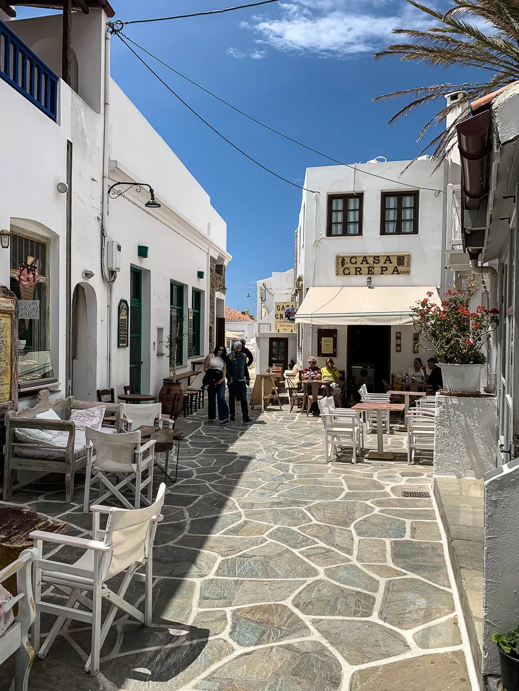
Quiet in the morning, full in the evening.
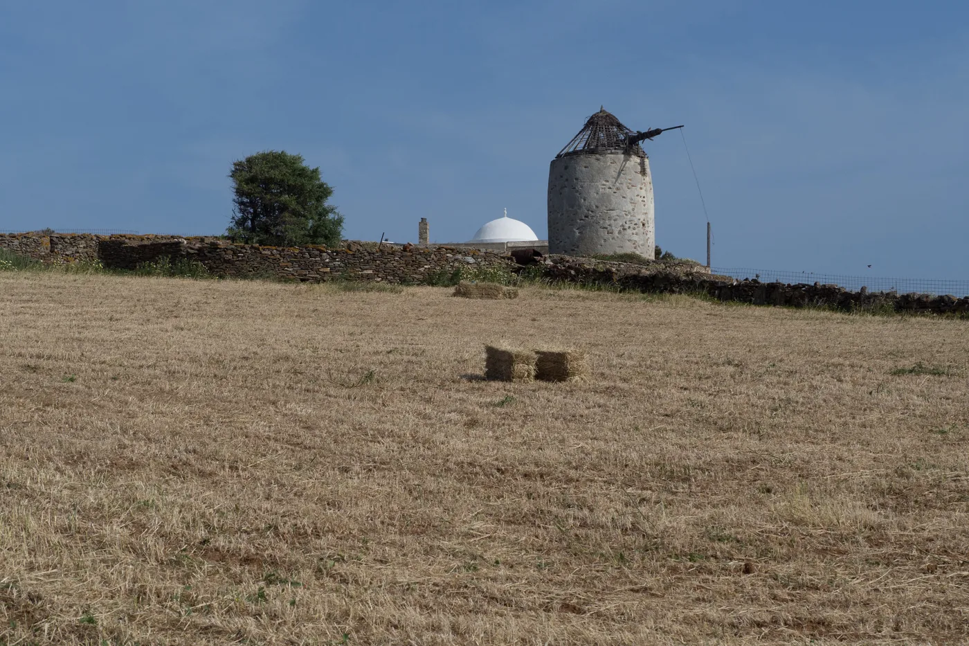
At the edge of Chora.
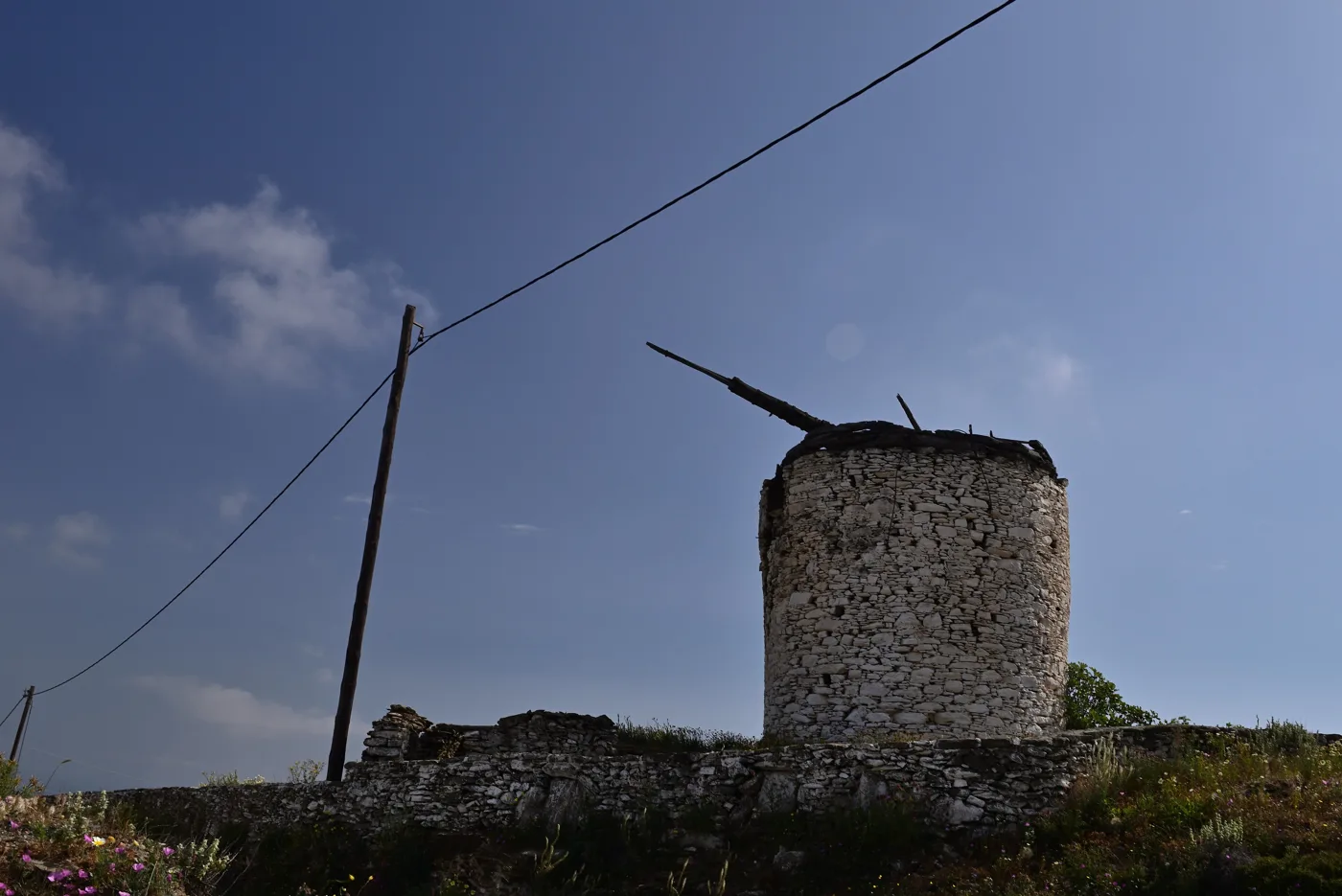
What is left of the windmills of Chora.
Photos: Zde (CC BY-SA 4.0), Cortese.roberto (CC BY-SA 4.0), DNK GR (CC BY-SA 4.0), Niki triple (CC BY-SA 4.0) · Wikimedia Commons
🕳️ Dryopida and Katafyki cave
Dryopida, south of Chora, is the most distinctive village on the island. Built like an amphitheatre in a valley, with houses with red tiled roofs, something rare in the Cyclades, and a large church with blue domes, it was the island’s capital for a while. It takes its name from the Dryopes, the ancient inhabitants. Above it, the windmills have the village’s best sunset.
In the village is the entrance to Katafyki cave, one of the largest in the Cyclades. It was an old iron mine, and in times of war the villagers hid here from pirates and invaders, hence the name, which means “refuge”. In summer there are guided tours, with walkways and lighting, and inside it is cool even in August.
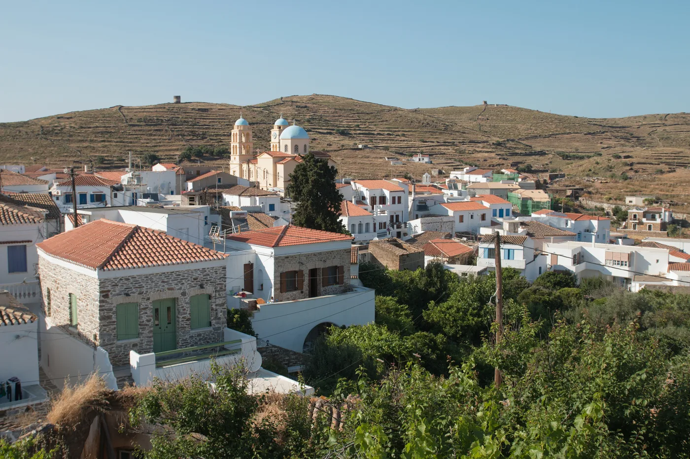
The village with the tiles.
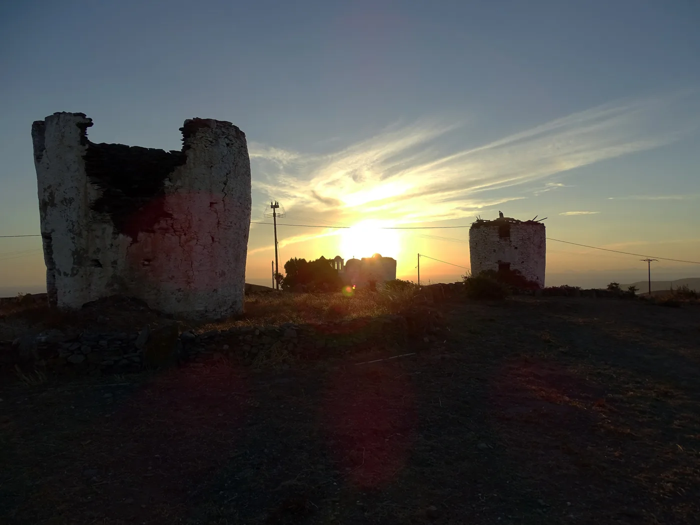
Above the village, at sunset.
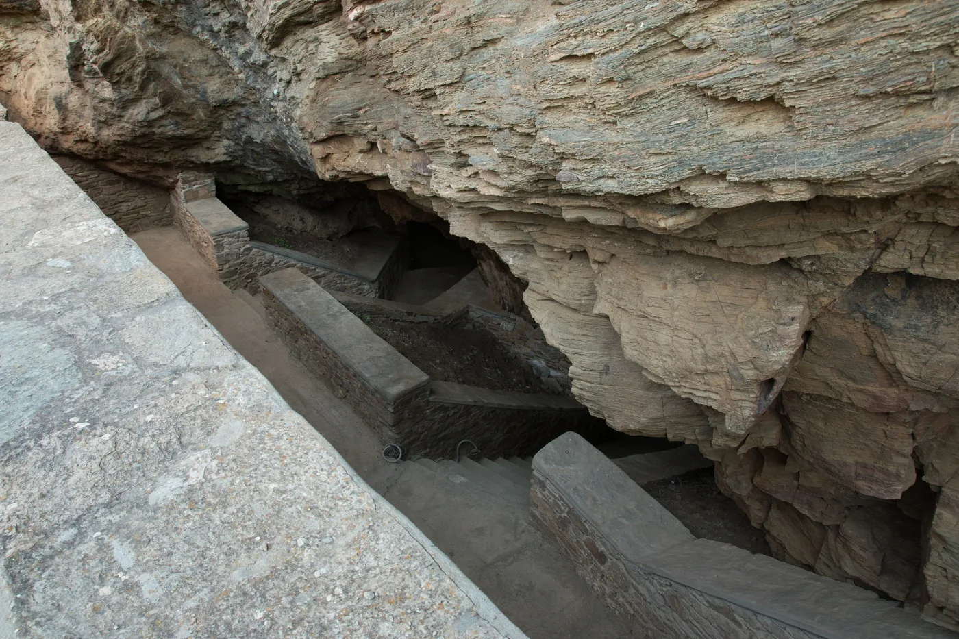
An old cave, below the village.
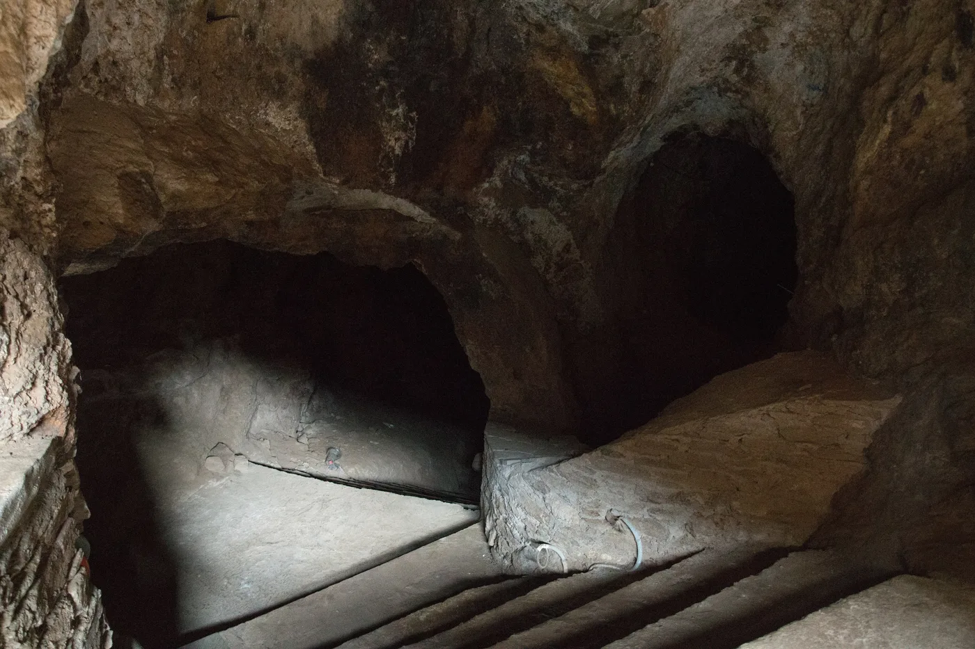
Tunnels and chambers, lit up.
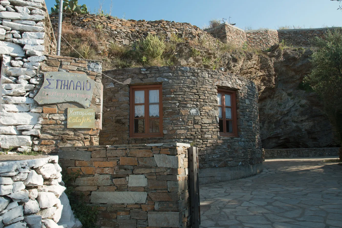
In the village.
Photos: Zde (CC BY-SA 4.0), Giannis Machairas (CC BY-SA 4.0) · Wikimedia Commons
⚓ Merichas and Vryokastro
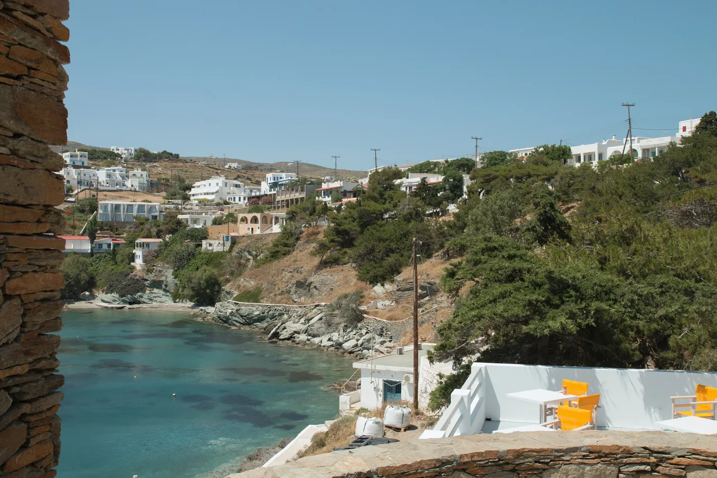
Merichas, the port, is a small village in a sheltered bay, with tavernas on the waterfront, cafés, shops and most of the island’s rooms. Next to it are the easiest beaches, Episkopi, Martinakia and Apokrousi.
On the headland north of Merichas, Vryokastro was the ancient city of Kythnos, the capital for more than a thousand years. Excavations found a sanctuary here with thousands of offerings, jewellery and vases, untouched since antiquity, one of the most important finds in the Cyclades in recent years. Today you can see walls and foundations, and a view worth the effort in the late afternoon. Kythnos is also one of the first Aegean islands to be inhabited: at Maroulas, near Loutra, a Mesolithic settlement was found.
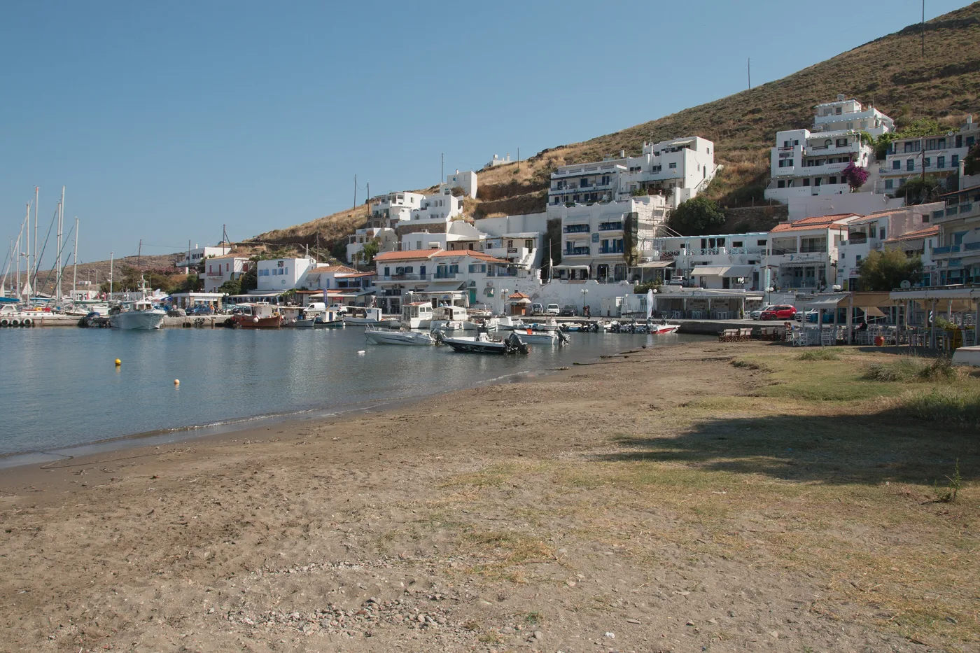
The harbour, with the tavernas.
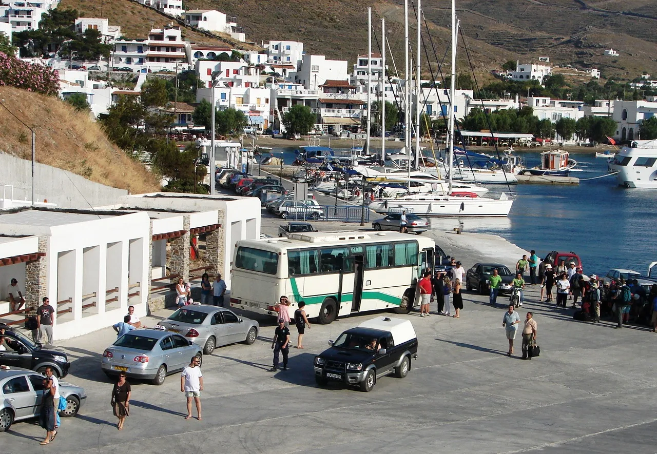
The ferries arrive here.
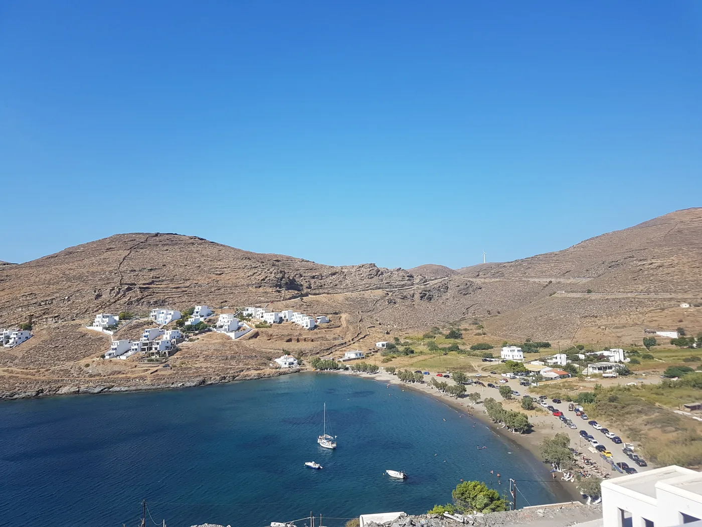
The beach next to the harbour.
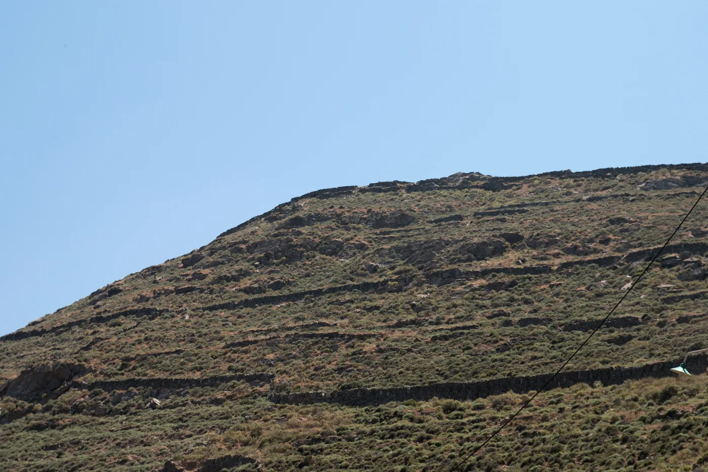
The ancient capital, on the headland.
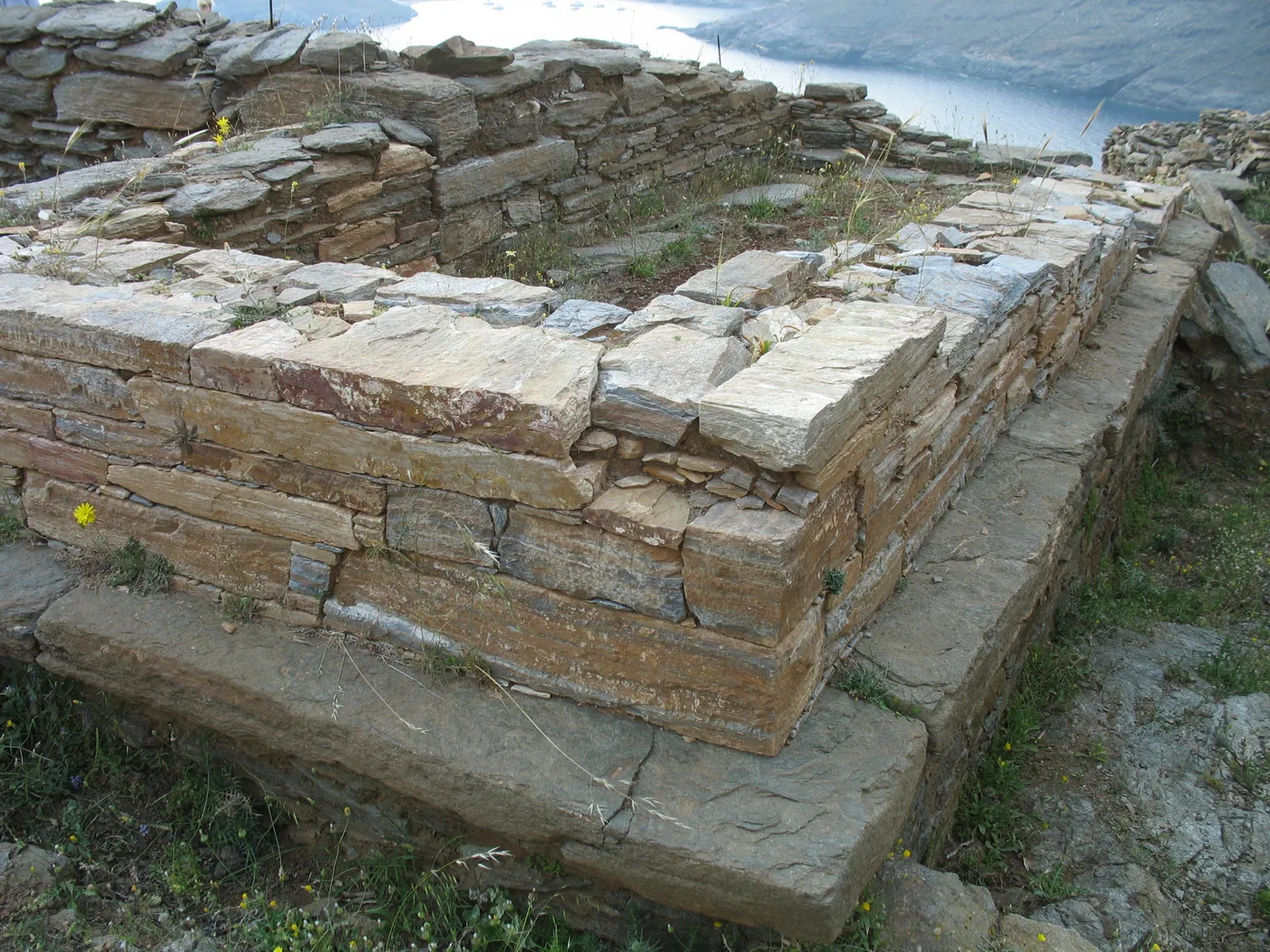
Stones of ancient Kythnos.
Photos: Zde (CC BY-SA 4.0), An. Antoniou (CC BY-SA 3.0), FocalPoint (CC BY-SA 4.0), Akerbeltz (CC BY-SA 3.0) · Wikimedia Commons
♨️ Loutra and the Castle of Oria
In the north, Loutra is a seaside village built around hot springs, which gave the island its medieval name, Thermia. The springs were known in antiquity, and in the 19th century Greece’s first king, Otto, built a hydrotherapy centre here. The best part is on the beach: the hot water runs down a small channel into the sea, forming a natural pool where you sit between the warm and the cold water.
From Loutra, a path leads to the Castle of Oria, on the northernmost headland. It was the medieval capital, built on a steep rock to protect it from pirates, with hundreds of houses and churches. It was abandoned in the 17th century, and today you can see the ruins of walls, churches and cisterns, with the sea on every side.
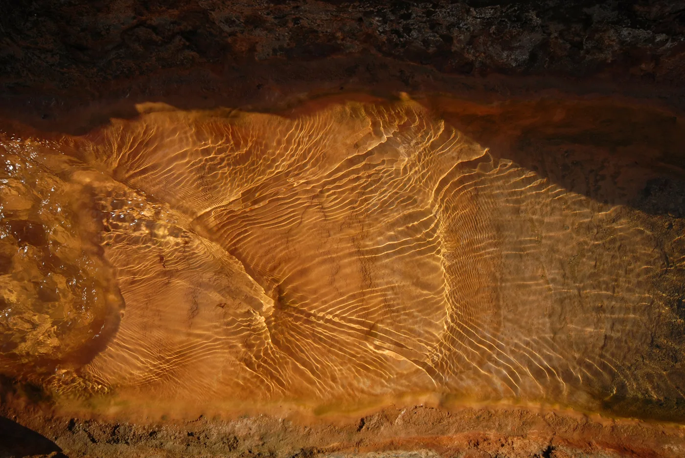
The hot water colours the stone.
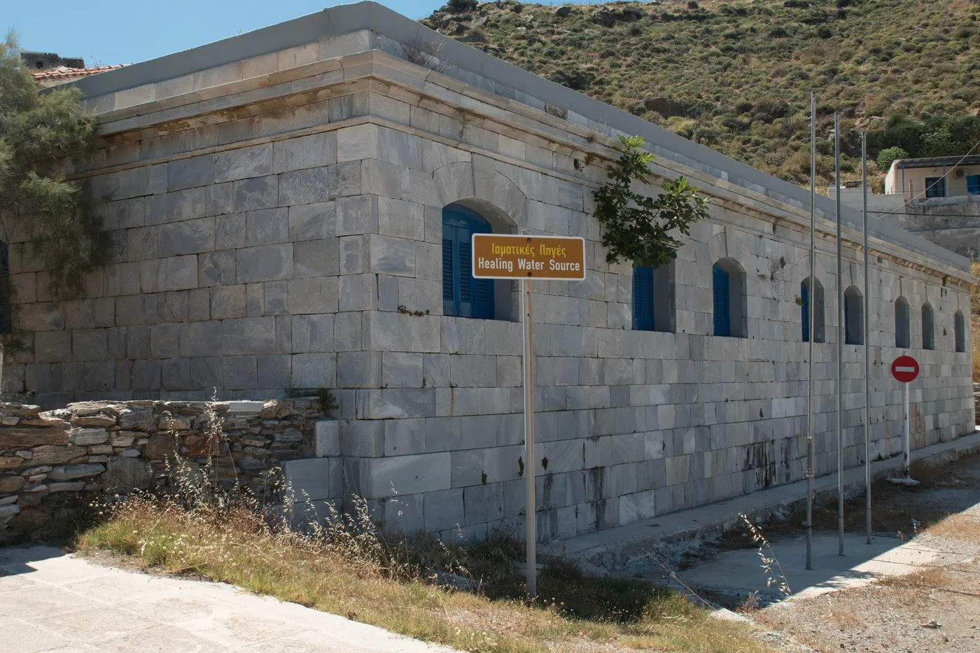
The old hydrotherapy baths.
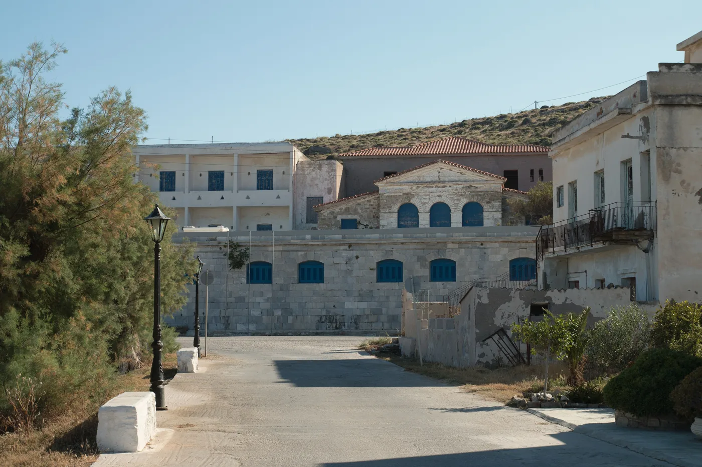
A spa village since the 19th century.
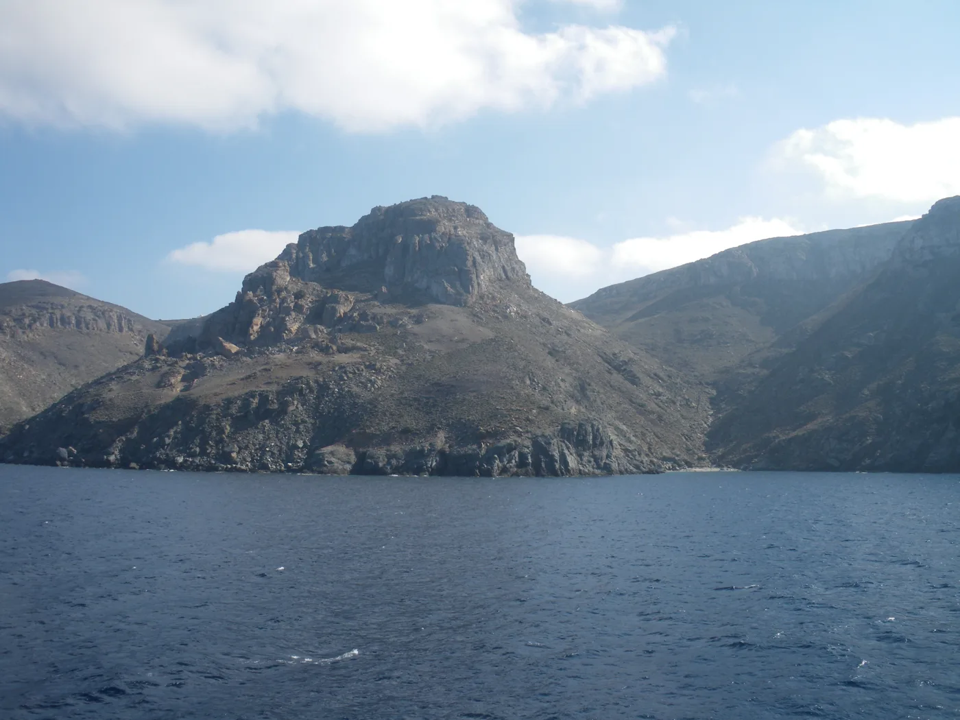
The medieval capital, on the rock.
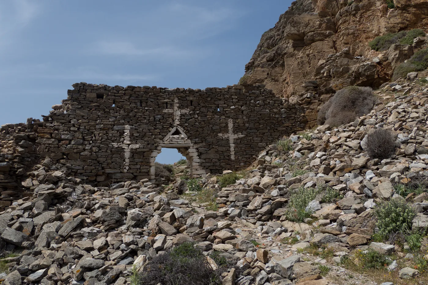
Churches and houses, among the stones.
Photos: ArnoWinter (CC BY 3.0), Zde (CC BY-SA 4.0), Eirini Vlastari (CC BY-SA 4.0), DNK GR (CC BY-SA 4.0) · Wikimedia Commons
The spring at Loutra is very hot, over forty degrees. Get in slowly where it mixes with the sea, and don’t stay long if you have blood-pressure problems. Winter and spring are the best seasons for the springs.
🏝️ Beaches
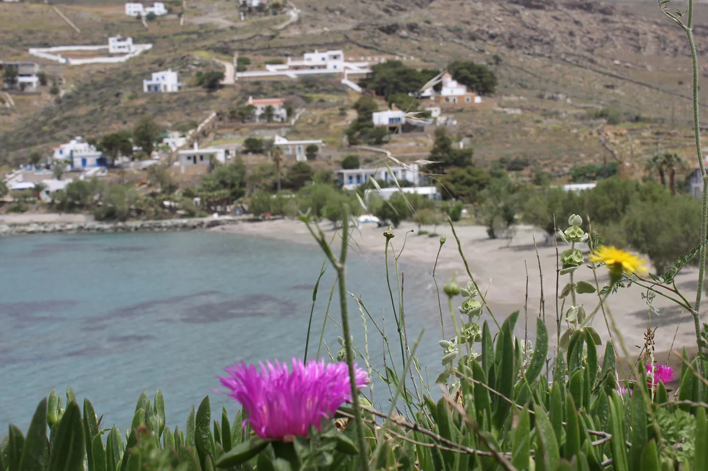
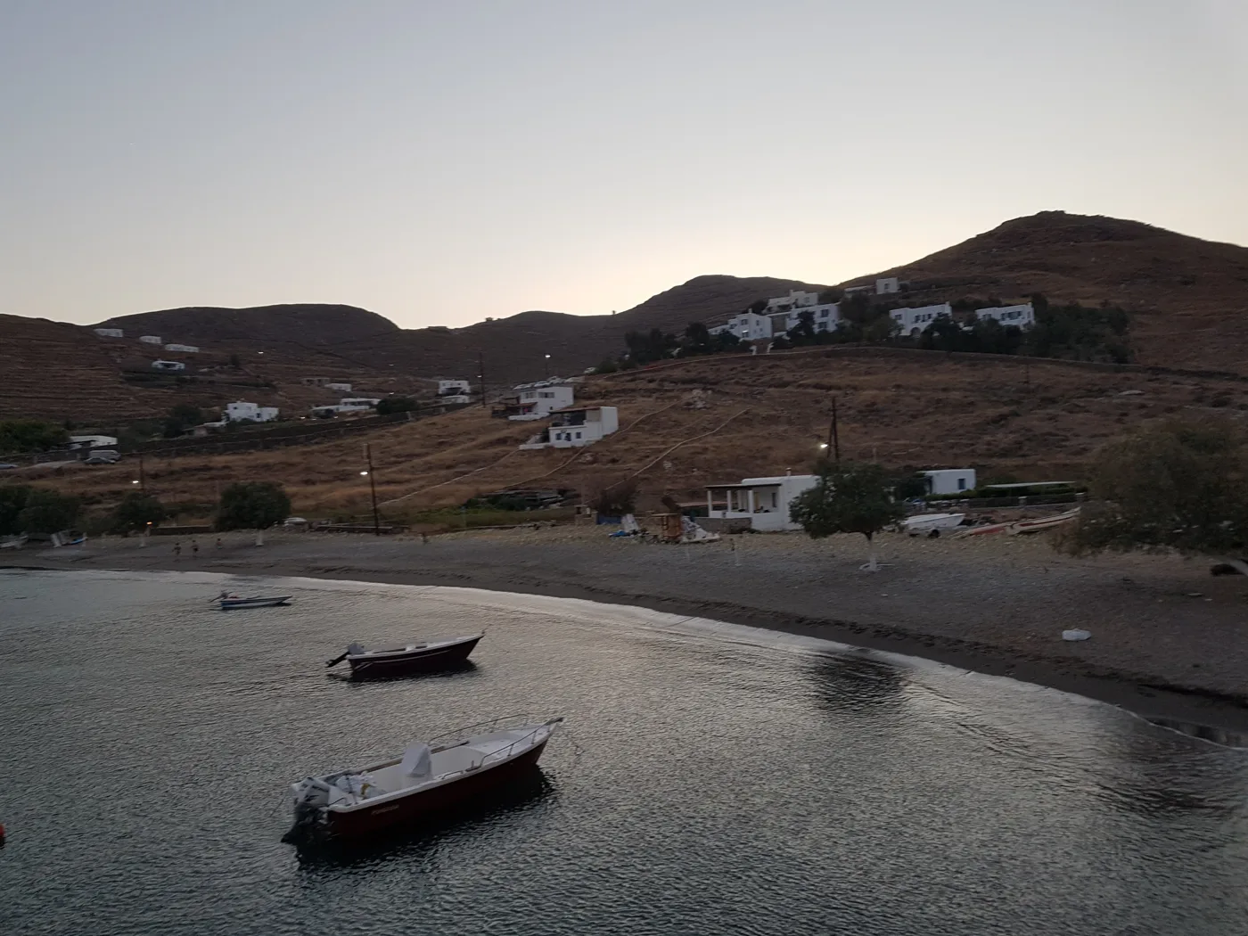
Kythnos has more than sixty beaches, most of them sandy, with shallow water and few people. Apart from Kolona, near Merichas are Episkopi and Martinakia, organised and easy. In the south, Kanala has pine trees, shallow water and the monastery of Panagia Kanala, the island’s patron, with a big festival on 15 August. Agios Dimitrios is the longest sandy beach, and Naoussa and Lefkes the quietest. In the north are Agios Sostis and Loutra.
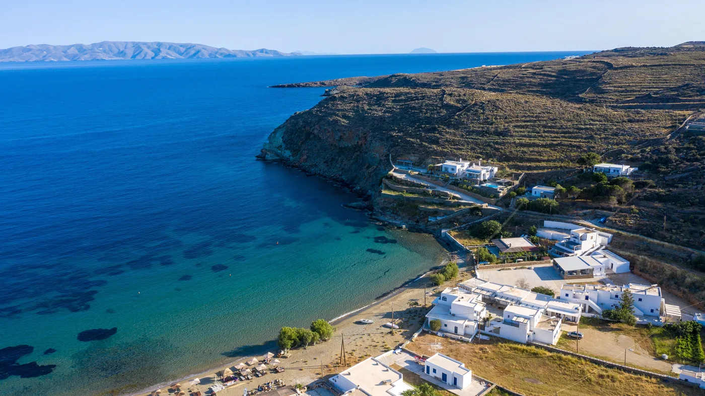
The island’s pilgrimage, above the sea.
Pine trees and shallow water.
In the north, near Loutra.
A long sandy beach in the south.
Quiet, on the south coast.
Photos: AthanasiadisDim (CC BY-SA 4.0), Zde (CC BY-SA 4.0), Kostas Tzogios (CC BY-SA 4.0), Giannis Machairas (CC BY-SA 4.0), FocalPoint (CC BY-SA 4.0) · Wikimedia Commons
- Kolona: the double beach, by dirt road or boat.
- Episkopi and Martinakia: next to the port, organised.
- Apokrousi: a quiet bay with a taverna, near Kolona.
- Kanala: pine trees, shallow water, for families.
- Agios Dimitrios: a long sandy beach in the south.
- Loutra: with the hot spring flowing into the sea.
- Agios Sostis: in the north, calm, sandy.
When the meltemi blows from the north, Kanala, Agios Dimitrios and the beaches on the south and east coasts are more sheltered. Kolona has two sides: choose the one facing away from the wind.
🍽️ What to eat
Kythnos is known for its cheeses and sweets. Try sfougates, fried cheese balls, the local Thermiotiko cheese and thyme honey. For dessert, pougia, small pastries filled with cheese and honey. In the tavernas of Merichas you will find fresh fish, and in Chora and Dryopida kid and meat cooked in the clay pot.
📅 When to go
June and September are the best months: warm sea, empty beaches and less wind. In July and August Kythnos fills up, especially at weekends, with Athenians and boats, and the meltemi blows hard. Kythnos is one of the few islands worth visiting in winter too, for the hot springs and walking the trails.
⛴️ How to get there from Athens
| How | Duration | From | Notes |
|---|---|---|---|
| Ferry from Lavrio | About 1.5 hours | Lavrio | The shortest route. There are fewer sailings. |
| Ferry from Piraeus | About 2–3 hours | Piraeus | Daily in summer, on the line to Serifos, Sifnos and Milos. |
From Ioulianou 50, go to Piraeus on Line 1, straight to the port. For Lavrio, there is a KTEL bus from Pedion tou Areos, close to Ioulianou, which takes about an hour and a half. On the island there is a bus from Merichas to Chora and Dryopida, but for the beaches you need a car or a scooter. Kythnos combines easily with Serifos, an hour away by ferry: see our guide to Serifos.
🗓️ Three days on Kythnos
Merichas and Kolona
You arrive at Merichas, and the first swim is at Episkopi or Martinakia. At midday drive to the spot above Kolona and walk down, or take the boat from the harbour. In the evening, dinner at the tavernas of Merichas.
The villages
In the morning, Dryopida, for the tiled lanes and Katafyki cave. A swim at Kanala, with a stop at the monastery. In the evening go up to Chora, for a stroll along the main street and dinner in the courtyards.
Loutra and the north
A swim at the beach of Loutra, where the hot water of the spring runs into the sea. Walk to the Castle of Oria for the view, and swim at Agios Sostis. On the way back, stop at Vryokastro for the sunset.
Frequently asked questions
Where should I stay on Kythnos?
In Merichas, for the port, the tavernas and the beaches nearby. In Chora or Dryopida, for village life and peace. In Loutra, for the hot springs and the sea outside your door.
Do I need a car?
Yes, to see the beaches and the villages. The island is small, and a scooter or car for two or three days is enough. You can rent in Merichas, but in August book ahead.
Is Kythnos good for families?
Yes, one of the best. Most beaches are sandy with shallow water, distances are short, and the island is quiet. Kanala, Episkopi and Kolona are ideal for children.
How many days do I need?
A long weekend is enough for Kolona, the two villages and Loutra. A week if you want to see many beaches at your own pace.
— Kathy